The best traffic-free bike rides around Boom
4.3
(60)
434
riders
23
rides
Gravel biking around Boom offers a network of no traffic gravel bike trails, primarily characterized by flat terrain and wooded sections. The region features quiet gravel routes that often follow riverine landscapes and pass through areas with historical significance, such as former fortifications. These routes provide accessible options for cyclists seeking car-free paths, making them suitable for various skill levels.
Best no traffic gravel bike trails around Boom
- The most popular no traffic gravel bike trail is Gravel Path Between…
Last updated: August 10, 2026
4.3
(4)
43
riders
56.0km
03:18
90m
90m
Hard gravel ride. Good fitness required. You may need to push your bike for some segments of this route.
4.7
(11)
26
riders
27.8km
01:50
30m
30m
Easy gravel ride. Great for any fitness level. Mostly paved surfaces. Suitable for all skill levels.

Sign up for free
4.5
(2)
11
riders
Hard gravel ride. Good fitness required. You may need to push your bike for some segments of this route.
14
riders
63.6km
03:48
100m
100m
Hard gravel ride. Good fitness required. You may need to push your bike for some segments of this route.
11
riders
36.5km
01:56
70m
70m
Easy gravel ride. Great for any fitness level. Mostly paved surfaces. Suitable for all skill levels.
Get access to more routes and recommendations from other explorers.
Sign up for free
Already have an account?
Our route recommendations are based on thousands of hikes, rides, and runs completed by other people on komoot.
Start today with a free account
Your next adventure awaits.
Login or Signup

Other adventures around Boom

Tips from the Community

Buggenhoutbos – the ideal shady walk on scorching hot days. When summer seems to be breaking all heat records, there is one place where you can escape the heat for a while: Buggenhoutbos. While temperatures are soaring, you can walk almost the entire route here under a dense canopy that provides wonderful coolness. Centuries-old beech trees and stately English oaks form a green cathedral. Their impressive trunks rise like columns, and their leaves filter the sunlight into pleasant, cool shade. Furthermore, the 190-hectare Buggenhoutbos surprises with a beautiful alternation of ancient forest stands and an arboretum with about fifty species of trees and shrubs. Practical: start from the Municipal Parking Buggenhout Bos (Kasteelstraat, Buggenhout). From there, you can immediately connect to the hiking node network. Route: 66 – 65 – 64 – 63 – 62 – 61 – 60 – 56 – 57 – 58 – 30 – 59 – 66. Put on your hiking boots, leave the summer heat behind, and enjoy one of Flanders' most beautiful shady walks.
1
0

The Humbeek-Sas lift bridge is a classic metal lift bridge that spans the Brussels–Scheldt Sea Canal in Humbeek, a sub-municipality of Grimbergen. Built in 1968, it is one of three identical lift bridges on the canal, along with: Brielen Bridge (Tisselt) Verbrande Bridge (Grimbergen) All three share the same dimensions: 38.4 m long and 11.6 m wide.
6
0

This bridge (and others in the region) weren't there when I was a kid. Now, you can enjoy lovely, scenic, and short walks and bike rides from the charming Zennegat. Be careful in wet weather, though, as they can be a bit slippery.
0
0

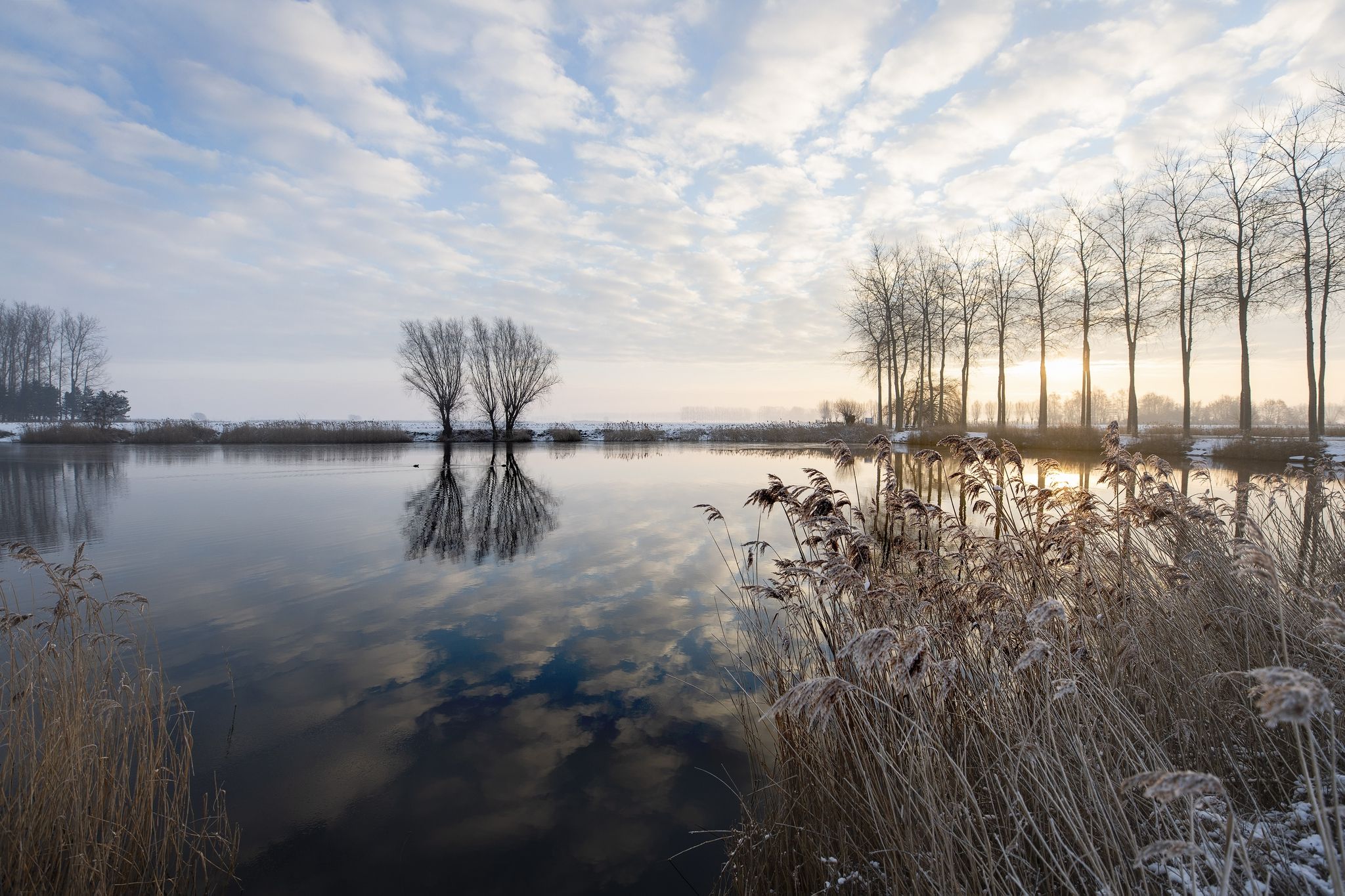
The Eglegem Pond covers over 43 hectares and was created in the late 1960s as a sand extraction pit for the construction of the E19 motorway. During the winter, large flocks of waterfowl settle here, including shelduck, tufted duck, pochard, gadwall, grebe, coot, and black-headed gull. Eco-friendly bank and roadside management is being implemented around the Eglegem Pond.
6
0
Beautiful gravel roads. It's pleasantly cool in the forest. You just have to be careful of the sharp turns on the gravel.
6
0
As a cyclist, you can still ride several beautiful kilometers through the forest. It's not like you're through it right away.
5
0


The Eglegem Pond, located between Hombeek and Zemst, is a beautiful nature reserve of over 40 hectares. Originally created as a sand extraction pit for the construction of the E19 motorway, the area has grown into a valuable quiet area with great ecological value. Today, it is managed by Natuur en Bos (Nature and Forests) and a magnet for hikers, nature lovers, and fishermen. The area is especially known as a wintering ground for waterfowl such as tufted ducks, grebes, and shelducks. Beavers have also recently taken up residence there. A 3-km walking path, recently renovated, runs around the pond. Dogs are welcome on a leash, and an off-leash area is provided. Fishing, stand-up paddleboarding, and sailing are permitted through recognized associations, but swimming and motorized water sports are prohibited. Thanks to targeted nature management and good water quality, this area remains a safe and peaceful place for both people and animals. An absolute must for those who want to unwind in nature.
2
0
Frequently Asked Questions
How many no-traffic gravel bike trails are available around Boom?
There are 19 dedicated no-traffic gravel bike trails around Boom, offering a variety of experiences. These routes are specifically curated to keep you away from busy roads, ensuring a peaceful ride.
What is the general difficulty level of the gravel bike trails in the Boom area?
The trails around Boom cater to various skill levels. You'll find 8 easy routes perfect for a relaxed ride, 4 moderate routes for those looking for a bit more challenge, and 7 difficult routes for experienced gravel bikers seeking a demanding adventure.
What do other gravel bikers enjoy most about the trails around Boom?
The komoot community highly rates the gravel biking experience around Boom, with an average score of 4.3 stars from 58 ratings. Riders often praise the quiet, traffic-free paths and the diverse landscapes, from wooded areas to riverside trails.
Are there any family-friendly no-traffic gravel routes near Boom?
Yes, several routes are suitable for families looking for a safe and enjoyable ride away from traffic. For an easy and scenic option, consider the Gravel Path Between Tall Trees – 't Hoogste Trail loop from Puurs, which offers a pleasant 27.9 km ride with minimal elevation.
Can I find challenging gravel bike routes around Boom that avoid traffic?
Absolutely. For experienced riders seeking a challenge, routes like the 't Hoogst Trail – Nonnenbos singletrack loop from Willebroek offer a longer distance of 68.2 km and are rated as difficult, providing a rewarding experience on traffic-free paths.
What kind of natural attractions can I expect to see along the gravel trails?
The routes around Boom often pass through beautiful natural areas. You can explore highlights such as the Polders of Kruibeke or the Provincial Park De Schorre. Many trails also offer views of the Rupel and Schelde rivers, providing a serene backdrop for your ride.
Are there historical landmarks or castles accessible from the gravel routes?
Yes, the region around Boom is rich in history. You might encounter historical sites like Fort Liezele or even spot impressive structures like Wissekerke Castle and Bornem Castle, adding a cultural dimension to your ride.
Are there circular gravel bike routes available in the Boom area?
Many of the no-traffic gravel routes around Boom are designed as circular loops, allowing you to start and end at the same point. An example is the Zennegat – Great route loop from Boom, which is an easy 36.1 km ride starting directly from Boom.
Is it possible to access these gravel trails using public transport?
Boom is generally well-connected by public transport, particularly trains and buses, which can facilitate access to various starting points for gravel routes in the wider Rupelstreek and Scheldeland areas. It's advisable to check local transport schedules and bike carriage policies for specific routes.
Are there any specific nature reserves or protected areas that the gravel trails pass through?
Yes, some routes will take you near or through significant natural areas. For instance, you might find yourself close to the Broek De Naeyer Nature Reserve, offering opportunities to observe local flora and fauna in a tranquil setting.
Where can I find parking for these no-traffic gravel bike trails?
Many of the routes start from towns or villages like Puurs, Willebroek, or Boom itself, where public parking facilities are typically available. For example, routes like the Gravel Path Between Tall Trees – 't Hoogste Trail loop from Puurs would likely have parking options in Puurs.
Are there routes that combine gravel biking with views of water bodies?
Absolutely. The region is characterized by its rivers, including the Rupel and Schelde. Many gravel routes, such as the Fort Liezele – Klein Willebroek Little Bridge loop from Kapelle-op-den-Bos, offer scenic stretches along waterways and past lakes like The Putten van Lacourt, providing beautiful waterside views.
Most popular attractions around Boom

Get inspired with the komoot mobile app


Explore more
Browse the best Gravel rides in other regions.
