The best hikes from bus stations in High Tauern
4.7
(9630)
48,284
hikers
53
hikes
Hiking in High Tauern offers access to Austria's largest national park, characterized by its dramatic alpine landscapes. The region features over 200 three-thousand-metre peaks, extensive glacier landscapes including the Pasterzen Glacier, and Europe's highest waterfalls at Krimml. Valleys, alpine meadows, and green lakes like Lake Zell contribute to the diverse terrain, providing varied environments for bus station hiking trails.
Best bus station hiking trails in High Tauern
- The most popular bus station hiking route is Dösental Block Glacier Trail,…
Last updated: September 27, 2026
4.9
(24)
246
hikers
19.6km
09:39
1,570m
1,570m
This difficult 12.2-mile hike to Säuleck Summit in Hohe Tauern National Park offers high alpine scenery and panoramic views.
4.8
(40)
190
hikers
15.5km
05:38
940m
940m
Hard hike. Very good fitness required. Easily-accessible paths. Suitable for all skill levels.

4.9
(79)
503
hikers
12.8km
05:33
810m
810m
Hard hike. Very good fitness required. Mostly accessible paths. Sure-footedness required.
4.7
(85)
447
hikers
Moderate hike. Good fitness required. Easily-accessible paths. Suitable for all skill levels.
4.8
(30)
167
hikers
Hard hike. Very good fitness required. Mostly accessible paths. Sure-footedness required.
Get access to more routes and recommendations from other explorers.
Already have an account?
Our route recommendations are based on thousands of hikes, rides, and runs completed by other people on komoot.
Start today with a free account
Your next adventure awaits.
Popular around High Tauern
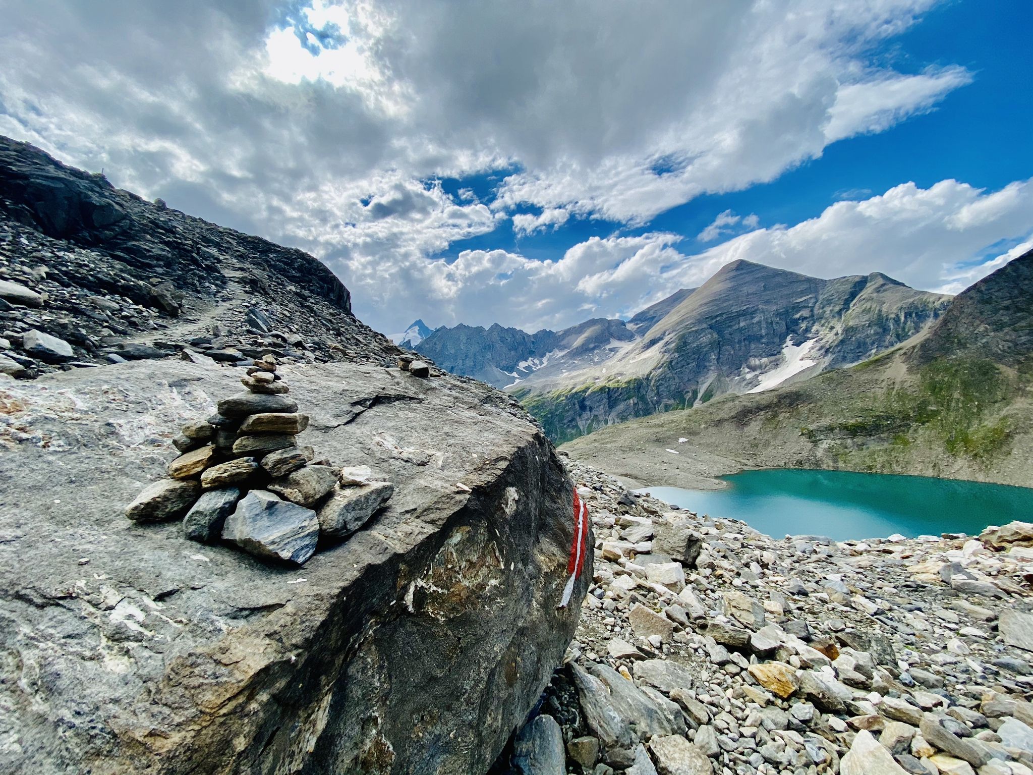
The Tauernhöhenweg – Once across the Hohe Tauern
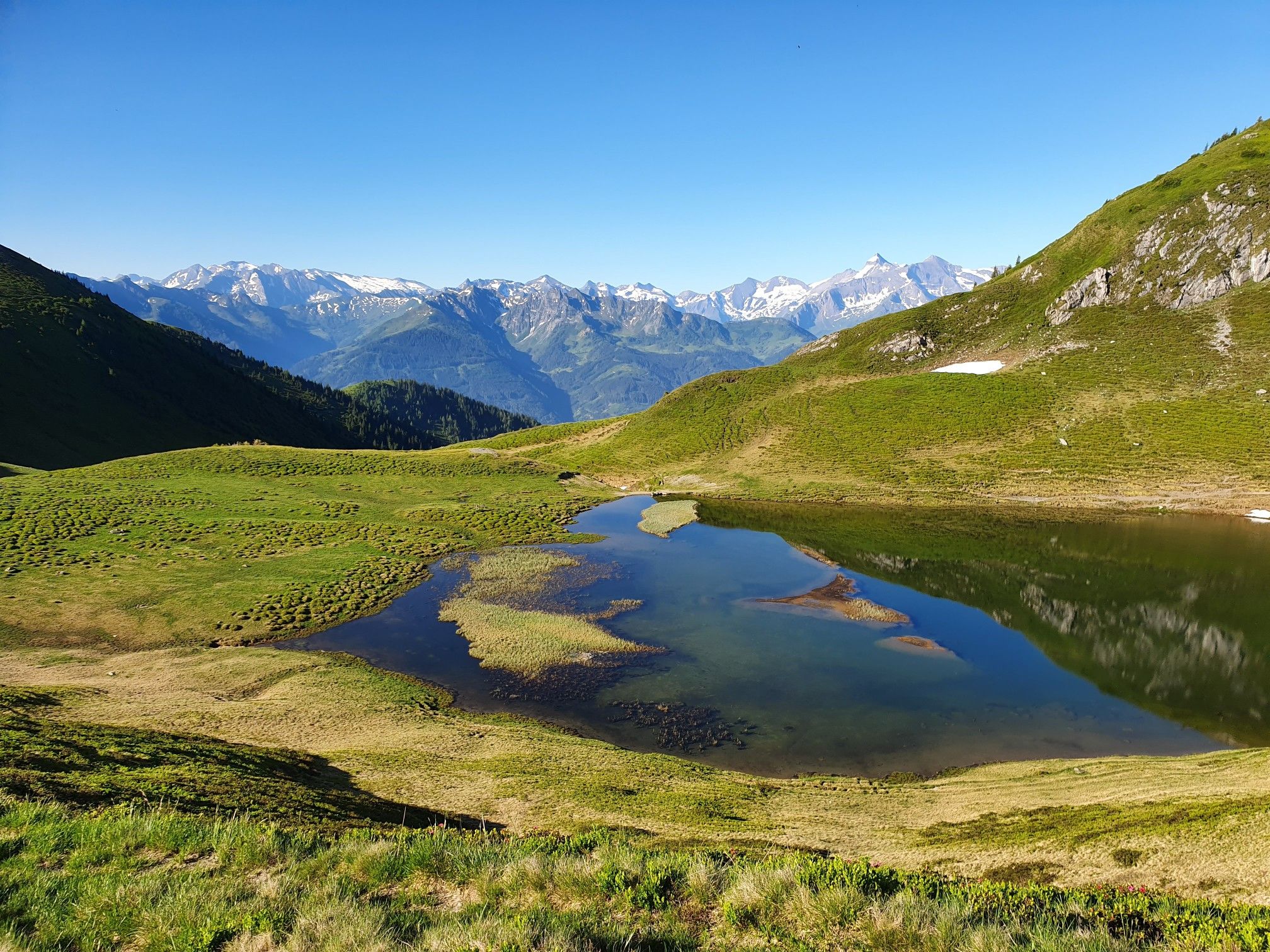
Hohe Tauern Panorama Trail – Face-to-face with 3000-metre peaks
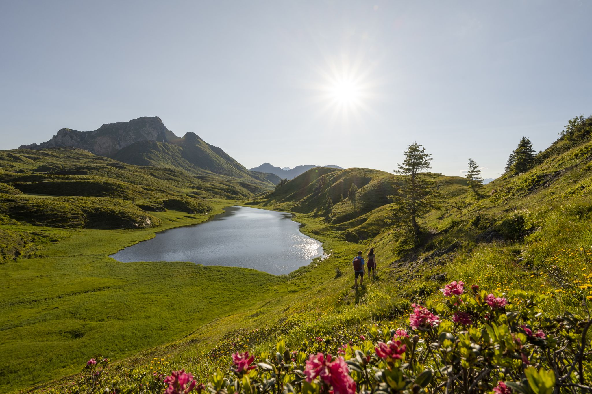
Long hikes on the southern side of the Austrian Alps – in Carinthia

Ruperti Trail – Hike from Austria's Bohemian Forest to the Carnic Alps
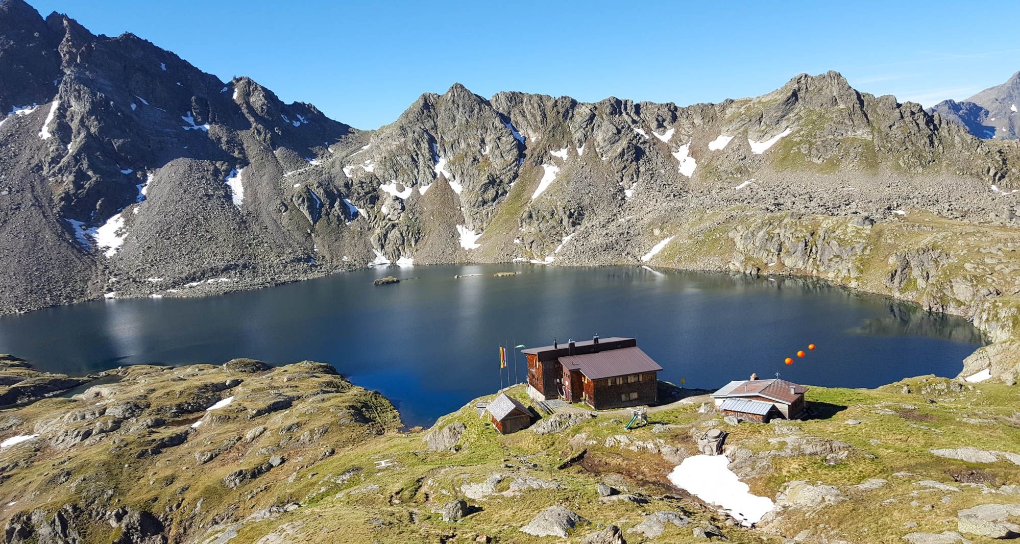
Wiener Höhenweg in Austria – 6 stages in the Schober Group
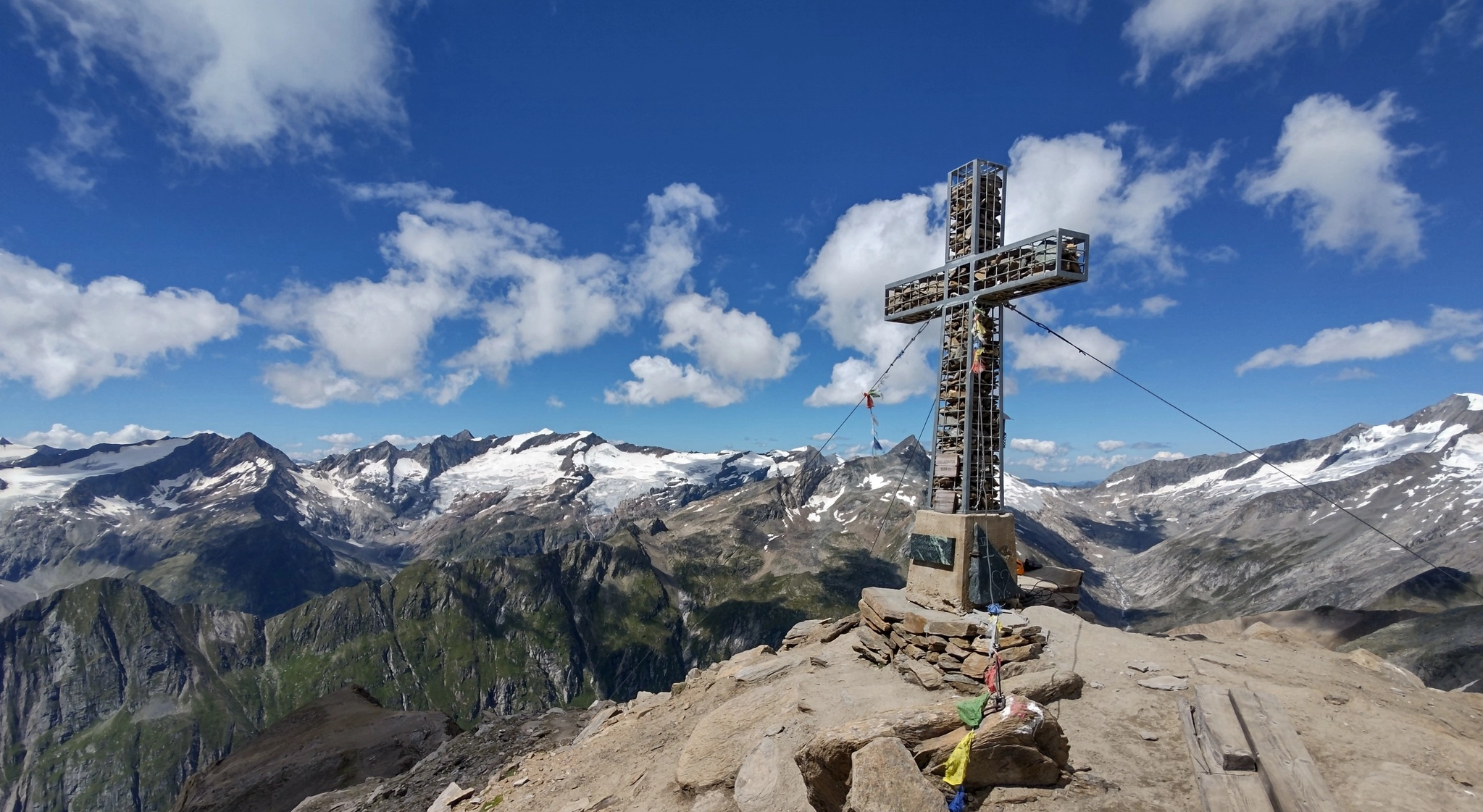
Venediger High Trail – mountain huts and glacial views
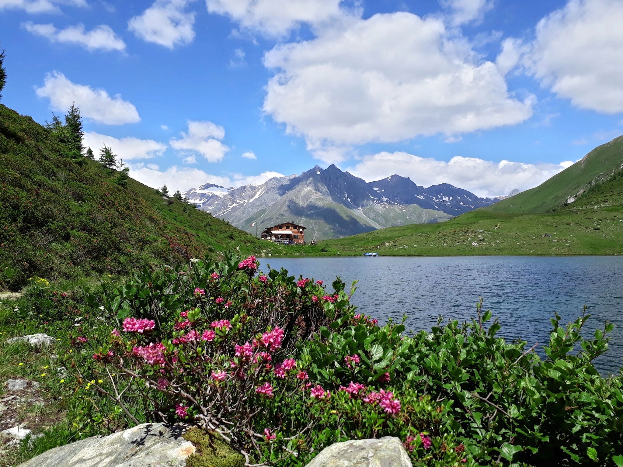
Lasörling High Altitude Trail in Austria – Alpine huts and glacial views
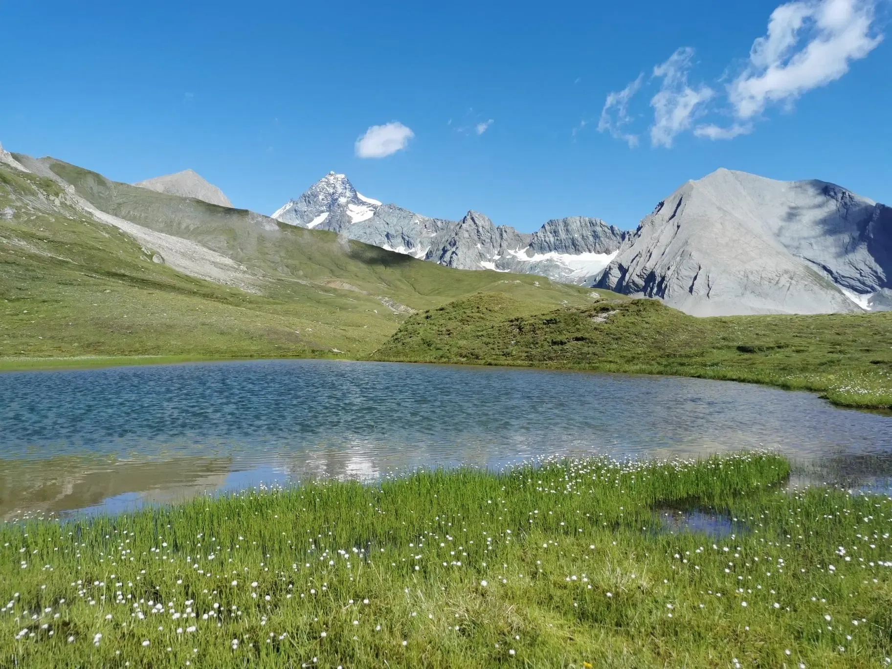
The Glockner Trek – Exploring Austria's highest peak
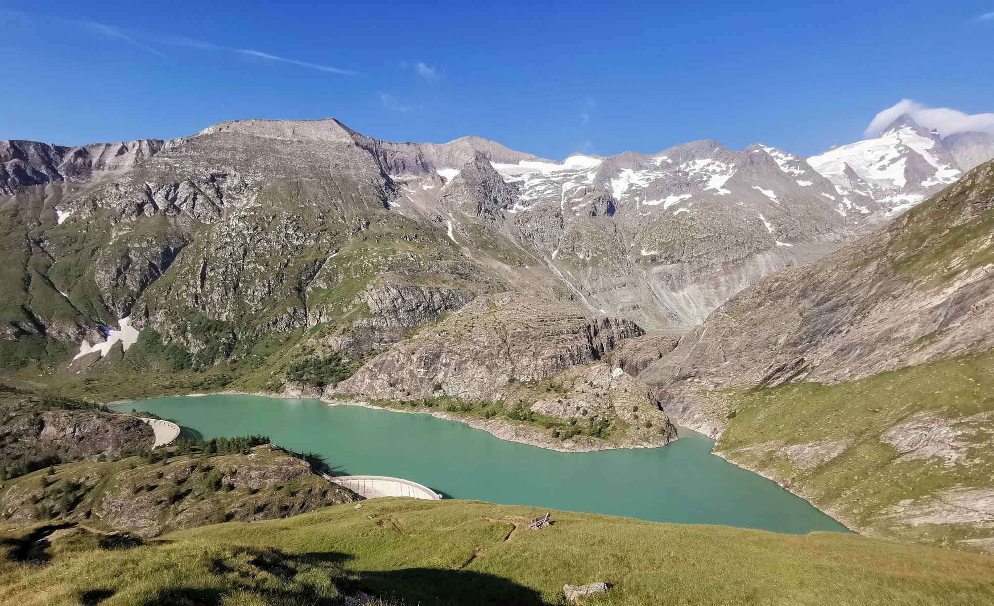
The Grossglockner – Circumnavigate Austria's highest mountain

Alpe-Adria-Trail: My long-distance hike from the glacier to the sea
Other adventures in High Tauern


Tips from the Community

A visit to the Neue Thüringer Hütte is definitely worth it via the Noitroi-Steig, which shortens the walking time by approx. 1 hour. The view from the sun terrace and the catering are top. The hut is state-of-the-art and invites hikers to linger.
0
0

Perfect refreshment after the steep Pfandelscharte.
0
0

A very beautiful, traditional alpine hut (see photos) with friendly hosts. Very picturesque, with a small playground for the kids. I was there very early (with the gravel bike) and still managed to get a coffee and the freshly baked apricot cake 🍽
0
0


There are numerous waterfalls in the Seidlwinkltal.
0
0

The family-friendly alpine hut, built in 1730, is located in the picturesque Seidlwinkltal. There is a playground and various animals for children. You will be pampered with regional products, some of which are produced on site. The hut is open from mid-May to early October. You can find more information at https://www.palfnerhof.at/palfner-alm-seidlwinkltal/. Valley bus
1
0

This hike is easy to do
0
0

Very nice cottage since this year with new tenants who do a great job, I hope they stay longer
0
0
Frequently Asked Questions
How many bus station hiking trails are available in High Tauern?
There are over 50 bus-accessible hiking trails in the High Tauern National Park, offering a wide range of experiences for all skill levels. You'll find everything from easy strolls to challenging alpine treks.
What is the general difficulty level of bus-accessible hikes in High Tauern?
The bus-accessible trails in High Tauern cater to various fitness levels. Approximately 14 routes are considered easy, 19 are moderate, and 20 are difficult, providing options for every hiker.
Are there any waterfalls accessible from bus stops in High Tauern?
Yes, the High Tauern National Park is famous for its impressive waterfalls. The renowned Krimml Waterfalls, Europe's highest, are a major highlight. You can explore parts of the Krimml Waterfalls Trail or visit the Middle Tier of the Krimml Waterfalls, both often accessible via public transport connections to the area.
Can I explore caves or historical sites on bus-accessible hikes?
Absolutely. Some bus-accessible routes can lead you near interesting geological or historical features. For example, you might find trails that pass close to the Eisloch cave or the Old Gold Miners' Tunnel, offering a glimpse into the region's natural and mining history.
What is the best time of year to hike from bus stations in High Tauern?
The best time for hiking in High Tauern is generally from late spring to early autumn (June to September). During these months, trails are mostly snow-free, and bus services to trailheads are more frequent. Always check local conditions, especially for higher alpine routes, as snow can persist into early summer.
Are there any family-friendly bus-accessible hikes in High Tauern?
Yes, there are several family-friendly options. Look for routes classified as 'easy' or 'moderate' with shorter distances and less elevation gain. While specific family-focused routes are not listed here, many of the easier trails provide gentle paths suitable for families. Always check the route details for suitability.
Are there circular bus-accessible hikes available?
Yes, many bus-accessible routes in High Tauern are designed as circular trails, allowing you to start and end at the same bus stop. An example is the Konradlacke – Dösner Lake loop from Blockgletscherweg Dösental, which offers a rewarding experience without needing to arrange a return trip from a different point.
What do other hikers say about the bus-accessible trails in High Tauern?
The bus-accessible trails in High Tauern are highly rated by the komoot community, with an average score of 4.7 stars from over 8,000 ratings. Hikers often praise the stunning alpine scenery, the well-maintained paths, and the convenience of reaching trailheads via public transport.
Are there any challenging bus-accessible hikes for experienced trekkers?
For experienced hikers seeking a challenge, the High Tauern offers numerous difficult bus-accessible routes. Consider the demanding Dösental Block Glacier Trail, which features significant elevation gain and stunning glacier views, or the Bramberg: Neue Thüringer Hütte (New Thüringer Hut) route for a substantial alpine adventure.
Can I find routes that offer views of glaciers or high mountain lakes?
Absolutely. The High Tauern National Park is home to extensive glacier landscapes and idyllic alpine lakes. The Glocknerhaus – Untere Pfandlscharte loop from Margaritzenstausee, for instance, provides breathtaking views of the Pasterzen Glacier and surrounding peaks. Many routes also pass by beautiful green lakes like Lake Zell, Grünsee, and Weißsee.
Are there any easy bus-accessible hikes for beginners?
Yes, beginners can find enjoyable and less strenuous options. Look for trails classified as 'easy' with minimal elevation changes. While not specifically named here, many of the 14 easy routes available will provide a gentle introduction to hiking in the High Tauern, often through picturesque valleys or along lower alpine meadows.
Most popular routes in High Tauern
Most popular attractions in High Tauern

Get inspired with the komoot mobile app


Explore more
Browse the best Hikes in other regions.
