The best hikes from bus stations in Armorique
4.5
(9329)
51,598
hikers
259
hikes
Bus station hiking trails in Armorique Regional Natural Park traverse a diverse landscape, from the rugged Atlantic coastline of the Crozon Peninsula to the wild hills of the Monts d'Arrée. The park encompasses varied terrain, including forests, heaths, marshes, and sandy beaches. Inland, the Huelgoat Forest features unique rock formations, while the Aulne Valley offers riverside paths.
Best bus station hiking trails in Armorique
- The most popular bus station hiking route is Sentier des Roc'hs – Armorique Regional Nature Park…
Last updated: August 9, 2026
4.7
(41)
290
hikers
17.0km
04:54
330m
330m
Moderate hike. Good fitness required. Mostly accessible paths. Sure-footedness required.
4.7
(57)
240
hikers
16.6km
04:34
290m
290m
Moderate hike. Good fitness required. Easily-accessible paths. Suitable for all skill levels.

Sign up for free
4.7
(286)
1,198
hikers
14.7km
04:00
210m
210m
Moderate hike. Good fitness required. Easily-accessible paths. Suitable for all skill levels.
4.6
(126)
948
hikers
16.9km
04:37
250m
250m
Moderate hike. Good fitness required. Easily-accessible paths. Suitable for all skill levels.
4.8
(156)
728
hikers
6.35km
01:46
120m
120m
Easy hike. Great for any fitness level. Easily-accessible paths. Suitable for all skill levels.
Get access to more routes and recommendations from other explorers.
Sign up for free
Already have an account?
Our route recommendations are based on thousands of hikes, rides, and runs completed by other people on komoot.
Start today with a free account
Your next adventure awaits.
Login or Signup
Popular around Armorique
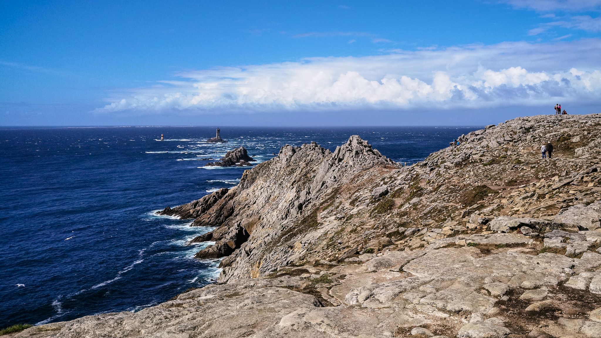
The Customs Officers’ path – GR 34 in Brittany between Pointe du Raz and Le Fret

Hiking to the summits – France's highest points
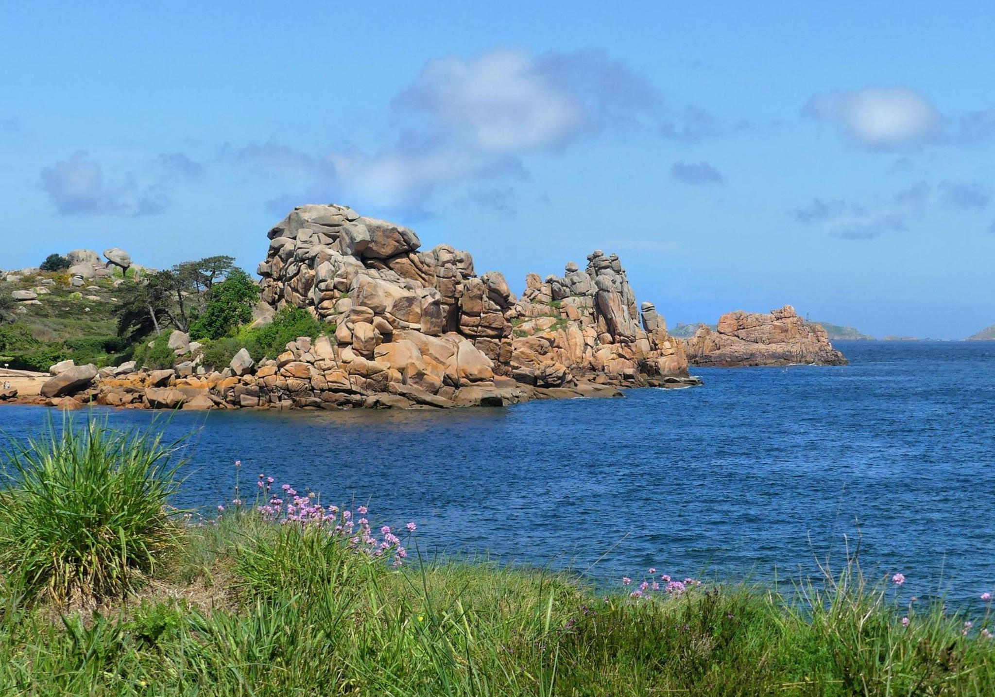
A hiking break in Brittany
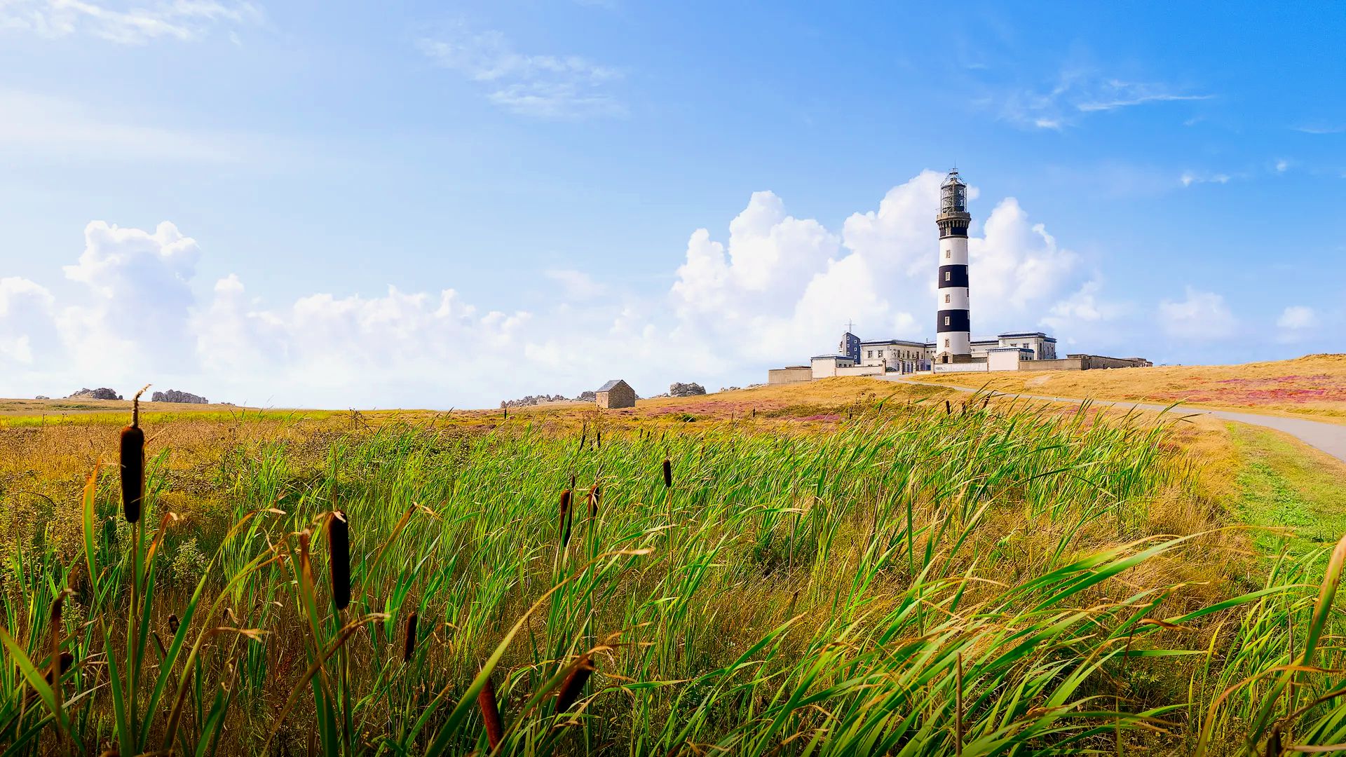
The far-west of France – walks on the island of Ouessant
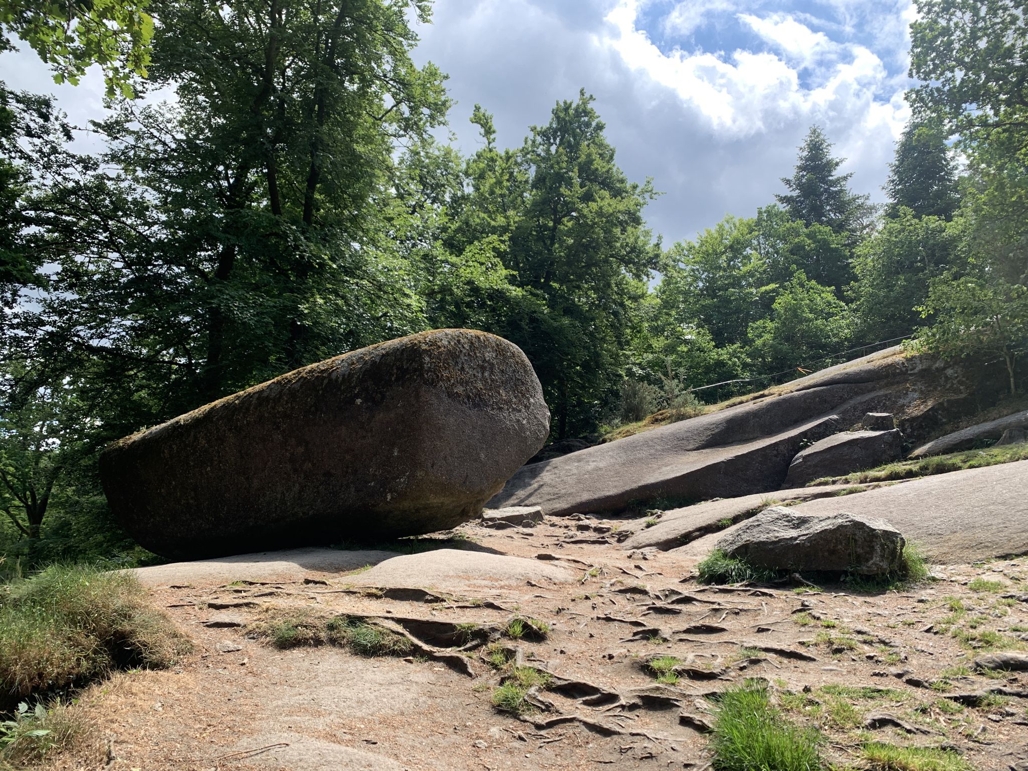
Tour des Monts d'Arrée in France — the GR 380
Epic sunset spots in Western Europe
La Vélodyssée — From north to south via the ocean
7 gravel routes to discover in Brittany
Sun cream and waterproof coats – 11 days in Brittany
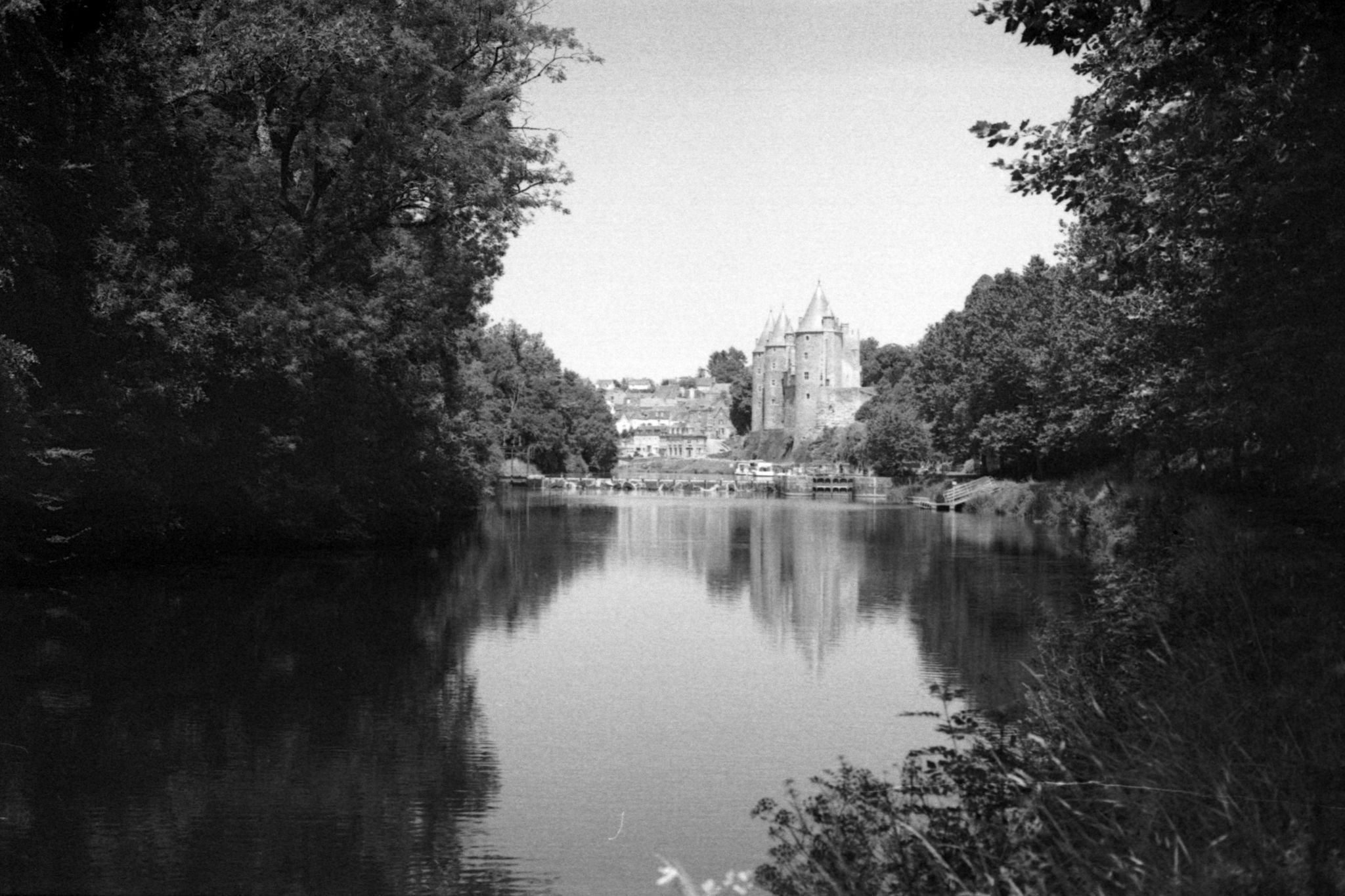
Cycling to the end of Brittany – Nantes to Brest canal
Other adventures in Armorique


Tips from the Community

Band of ignoramuses, this is not a picnic area but a prehistoric site!
0
0

Pointe de Penhir is a rocky cape on the Crozon Peninsula in the Finistère department in Brittany. It belongs to the municipality of Camaret-sur-Mer. In the foreground are Les Tas de Pois, the Pea Islands.
0
0
The Pointe de Penhir is a rocky cape on the Crozon Peninsula in the Finistère department in Brittany. It belongs to the municipality of Camaret-sur-Mer. Les Tas de Pois, the Pea Islands, lie in front of it.
0
0
This place is a tip for all weather conditions. In fog, it appears almost mystical and mysterious, and in sunshine, the beach invites a visit. You can often observe surfers on the beach. Swimming is forbidden there due to the strong Atlantic current.
0
0

Located between Pointe de Pen Hir and Pointe de Toulinguet, Plage Pen Hat is a stunning sandy beach surrounded by rugged cliffs. However, swimming out is not recommended, as there are sometimes high surf waves and strong undertows that should not be underestimated. Pen Hat is particularly popular with experienced surfers from all over the world. Above Pen Hat runs a coastal path offering magnificent views of Pen Hir and the Atlantic Ocean.
3
0
The Pointe de Toulinguet is a headland in Brittany. It is located at the end of the Crozon Peninsula in the municipality of Camaret-sur-Mer in Brittany. Toulinguet comes from the Breton "toul inged," which means "plover's hole." This toponym refers to one of the rocks in the sea that is perforated.
2
0

also suitable as a parkour course (for children) :-)
0
0
Frequently Asked Questions
How many bus station hiking trails are available in Armorique?
There are over 240 hiking trails in Armorique that are accessible from bus stations, offering a wide range of options for all skill levels. You'll find everything from easy strolls to more challenging treks.
Are there easy bus-accessible hiking trails in Armorique?
Yes, Armorique offers a good selection of easy bus-accessible hikes. With 76 routes classified as easy, you can enjoy gentle walks through varied landscapes without needing extensive hiking experience. These are perfect for a relaxed day out.
What kind of landscapes can I expect on bus-accessible hikes in Armorique?
Bus-accessible hikes in Armorique offer incredible diversity. You can explore the wild hills of the Monts d'Arrée, with their moorland and rocky peaks, or discover the mystical Huelgoat Forest with its unique rock formations. Coastal trails on the Crozon Peninsula provide dramatic cliffs and sandy beaches, while the Aulne Valley offers verdant riverside paths.
Are there circular routes accessible by bus in Armorique?
Yes, many of the bus-accessible trails in Armorique are circular, allowing you to start and end your hike at the same point, often conveniently near a bus stop. For example, the Huelgoat Forest – Canal de la Mine Trail loop from Locmaria-Berrien is a moderate 13.6 km circular route that lets you fully immerse yourself in the forest's magic.
Can I find coastal views on bus-accessible hikes in Armorique?
Absolutely. The Crozon Peninsula, known for its stunning coastline, offers several bus-accessible trails with breathtaking sea views. You can experience the dramatic cliffs and turquoise waters, for instance, on the Corréjou cliffs – View of Pen-Hat cove loop from Kerloc'h, a moderate 16.9 km hike.
Are these bus station trails suitable for families?
Many bus-accessible trails in Armorique are suitable for families, especially the easier and moderate routes. Look for trails that explore the Huelgoat Forest with its enchanting rock formations, or shorter coastal paths on the Crozon Peninsula. Always check the distance and elevation gain to ensure it matches your family's capabilities.
Can I bring my dog on these bus-accessible trails?
Generally, dogs are welcome on most hiking trails in Armorique, provided they are kept on a leash, especially in sensitive natural areas or near livestock. Always check local signage for specific restrictions, particularly within the Regional Natural Park, to ensure a pleasant experience for everyone.
What are some notable attractions or viewpoints accessible from bus station trails?
Several iconic attractions are within reach of bus-accessible trails. You can hike to the dramatic Pointe de Pen-Hir for spectacular cliff views or explore the wild beauty of Cap de la Chèvre on the Crozon Peninsula. The Huelgoat Forest is also a major highlight, known for its unique rock formations and mystical atmosphere.
What do other hikers say about bus station trails in Armorique?
The bus station trails in Armorique are highly rated by the komoot community, with an average score of 4.5 stars from over 9,700 ratings. Hikers often praise the diverse landscapes, from rugged coastlines to ancient forests, and the convenience of accessing these natural wonders via public transport.
Are there more challenging bus-accessible hikes for experienced hikers?
Yes, for those seeking a greater challenge, Armorique offers 25 difficult bus-accessible routes. These often involve longer distances and more significant elevation changes, such as the Coastal path – Amazing view loop from Crozon, a demanding 26.7 km hike with over 500 meters of ascent, providing stunning coastal vistas.
What is the best time of year for bus station hikes in Armorique?
The best seasons for hiking in Armorique are spring (April-June) when wildflowers bloom and the weather is mild, and autumn (September-November) for vibrant foliage. While the region offers charm year-round, these periods provide ideal conditions for exploring the diverse landscapes.
Most popular routes in Armorique
Most popular attractions in Armorique

Get inspired with the komoot mobile app


Explore more
Browse the best Hikes in other regions.
