The best hikes from bus stations in Mercantour
4.5
(16768)
110,361
hikers
228
hikes
Bus station hiking trails in Mercantour National Park offer access to a diverse alpine landscape characterized by towering peaks, deep glacial valleys, and pristine mountain lakes. The region features extensive larch forests, rocky slopes, and dramatic gorges, providing varied terrain for hikers. Elevations range significantly, with numerous summits exceeding 3,000 meters.
Best bus station hiking trails in Mercantour
- The most popular bus station hiking route is The area around La Colmiane, a 7.4 miles (11.9 km) trail that takes 3 hours 31 minutes to complete. This moderate route explores the surroundings of La Colmiane ski resort.
- Another top favourite among local hikers is Lac des Eguilles (Camp Gully) – Neptune Monument loop from Valberg, a moderate 6.3 miles (10.2 km) path. This route offers views of mountain lakes and historical monuments near Valberg.
- Local hikers also love the Colmars – Lance Waterfall loop from Colmars, a 1.8 miles (2.8 km) trail leading through forested areas to a waterfall, often completed in about 50 minutes.
- Hiking in Mercantour is defined by majestic mountains, glacial valleys, and clear mountain lakes, with options ranging from easy walks to challenging multi-day treks. The network offers routes for various ability levels, including many Mercantour trails accessible by bus.
- The routes in Mercantour are highly rated by the komoot community with an average score of 4.5 stars from more than 13,000 reviews. More than 93,000 hikers have used komoot to explore Mercantour's varied terrain.
Last updated: September 29, 2026
4.3
(7)
30
hikers
11.9km
03:32
350m
340m
Moderate hike. Good fitness required. Easily-accessible paths. Suitable for all skill levels.
4.8
(32)
308
hikers
10.2km
03:04
270m
270m
Moderate hike. Good fitness required. Mostly accessible paths. Sure-footedness required.

4.9
(29)
220
hikers
Hard hike. Very good fitness required. Sure-footedness, sturdy shoes and alpine experience required.
4.9
(21)
239
hikers
25.1km
09:25
1,370m
1,370m
Hard hike. Very good fitness required. Sure-footedness, sturdy shoes and alpine experience required.
4.8
(22)
259
hikers
2.74km
00:49
90m
90m
Easy hike. Great for any fitness level. Easily-accessible paths. Suitable for all skill levels.
Get access to more routes and recommendations from other explorers.
Already have an account?
Our route recommendations are based on thousands of hikes, rides, and runs completed by other people on komoot.
Start today with a free account
Your next adventure awaits.
Popular around Mercantour

Europe Trail (GR 5) – Hike from Nice to Saint-Étienne-de-Tinée
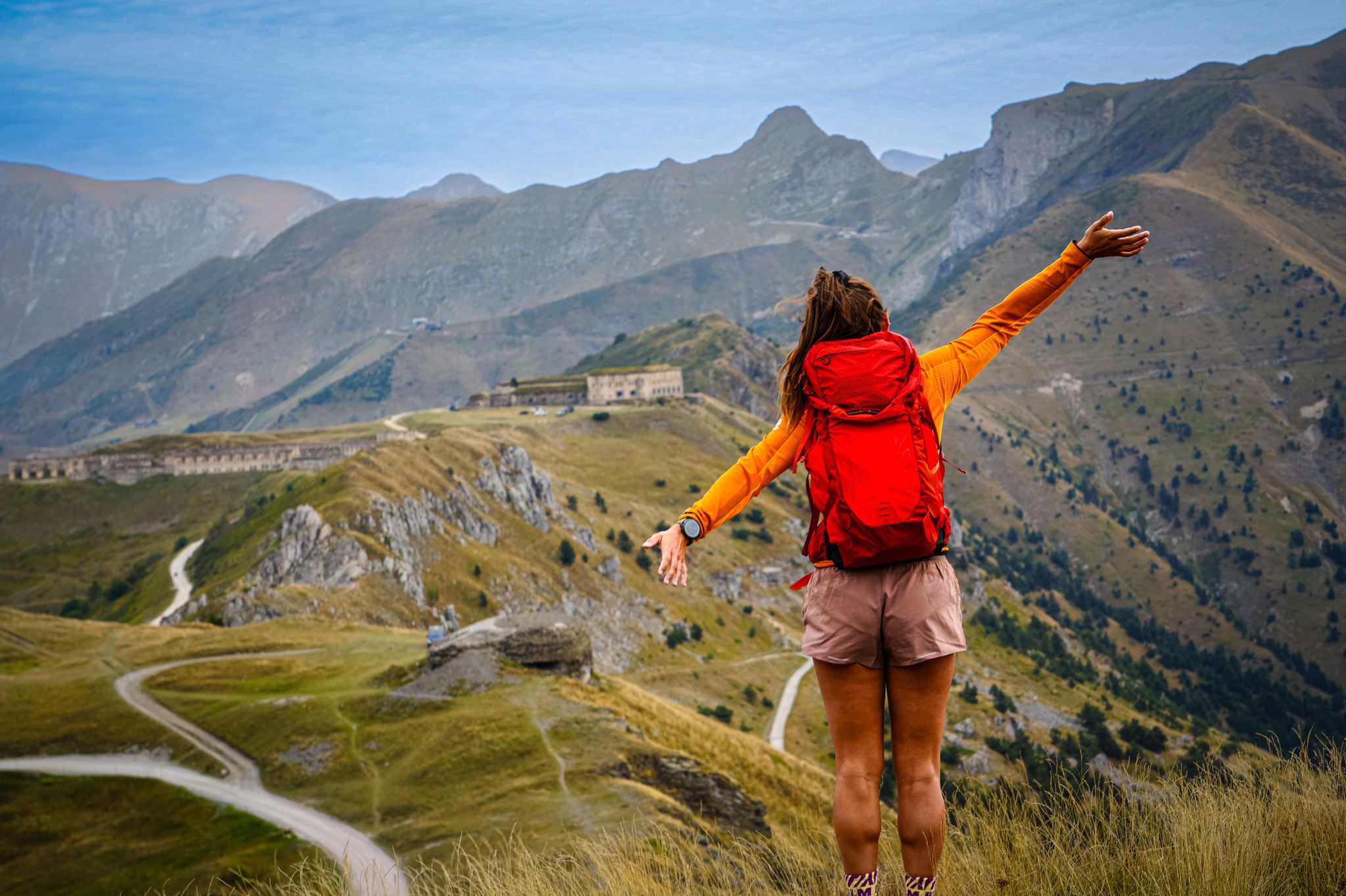
RivierALP – great hikes between the Alps and the Mediterranean
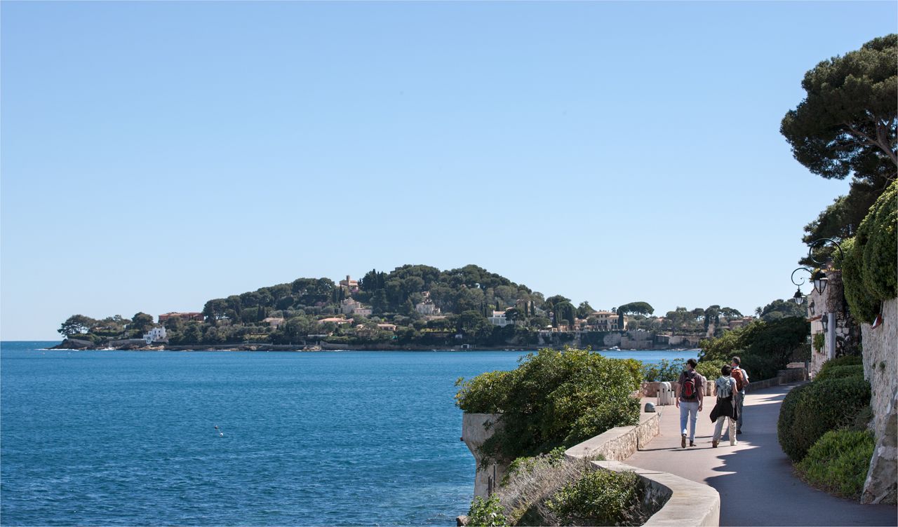
Côte d'Azur panoramas – hikes between land and sea around Nice

Hike from Saint-Étienne-de-Tinée to Briançon – Europe Trail (GR 5)

Crossing the Mercantour National Park – GR 52

Mountains and marmots — France’s Ubaye trail (GR 56)

MigrAction – Generations in Motion

Transalps MTB – Chamonix to the Mediterranean Sea
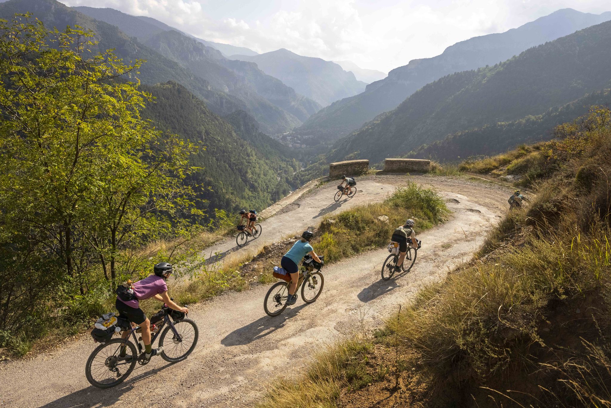
Lael's 2021 Komoot Women's Torino Nice Rally

The Komoot Torino-Nice Rally
Other adventures in Mercantour


Tips from the Community

Important pass between France and Italy, it is surrounded by a frame of wonderful mountains, which make you want to return to the valley. Several points of interest "anthropogenic" - including: French side, a contour line model of the area of the pass; Italian side, memorial monuments to Tazio Nuvolari and Fausto Coppi, protagonist on this pass of the legendary feat of the Cuneo-Pinerolo stage in 1949.
1
0

Nice gradual climb without difficulty with 360-degree panorama
0
0


The Vallon du Lauzanier is a magnificent space, little frequented in winter
0
0

The Col Saint-Martin Pass, or Col de la Colmiane, is a mountain pass in the Southern Alps located at an altitude of 1,500 meters in the Alpes-Maritimes department of France. It provides a year-round road link between the Tinée Valley to the west and the Vésubie Valley to the east.
0
0

Beautiful place with this little bridge over the river where you can also swim, usually there is a shepherd with hundreds of sheep.
0
0
The route is really easy at the beginning, even for wheelchairs, as the road is flat and well-trodden.
0
0
Very pretty waterfall just a stone's throw from Colmars. Very easy to access.
1
0
Frequently Asked Questions
How many bus station hiking trails are available in Mercantour?
Mercantour offers a wide selection of hiking trails accessible by bus, with over 230 routes available. These range from easy strolls to challenging multi-day treks, ensuring options for all skill levels.
What is the best season for bus-accessible hikes in Mercantour?
The best time for bus-accessible hikes in Mercantour is generally from late spring to early autumn (May to October). During this period, the weather is most favorable, mountain passes are usually clear of snow, and bus services are more frequent. Summer offers lush alpine meadows and access to high-altitude lakes, while autumn provides stunning larch forest colors.
Are there easy bus-accessible hikes suitable for beginners or families?
Yes, Mercantour has numerous easy bus-accessible hikes perfect for beginners or families. For instance, the area around La Colmiane offers gentle paths with beautiful scenery. These routes typically have less elevation gain and shorter distances, making them enjoyable for all ages.
Can I bring my dog on bus-accessible hikes in Mercantour?
Mercantour National Park has specific regulations regarding dogs to protect its diverse wildlife. Generally, dogs are permitted on a leash in the peripheral zone of the park but are restricted or prohibited in the core zone, especially during certain periods. Always check specific route regulations before heading out. It's advisable to confirm local rules for bus transport as well.
Are there any bus-accessible routes that feature waterfalls?
Yes, you can find bus-accessible routes that lead to beautiful waterfalls. The Colmars – Lance Waterfall loop from Colmars is an excellent example, offering a refreshing natural spectacle along the trail.
What kind of landscapes can I expect on these bus-accessible trails?
Bus-accessible trails in Mercantour traverse a wide variety of landscapes. You can expect majestic mountains and peaks, picturesque glacial valleys like the Lauzanier Valley, extensive larch forests, and crystal-clear mountain lakes. Some routes might even offer glimpses of the dramatic Gorges de Daluis or ancient historical paths.
Are there circular bus-accessible routes available?
Absolutely. Many bus-accessible routes in Mercantour are designed as loops, allowing you to start and end at the same bus stop without retracing your steps. An example is the Lac des Eguilles (Camp Gully) – Neptune Monument loop from Valberg, which offers diverse scenery on a single journey.
What interesting sights or landmarks can I see along bus-accessible trails?
Mercantour is rich in natural and historical landmarks. Depending on your chosen route, you might encounter stunning mountain passes like Col de Tende Hairpin Road or Col de Turini. The region is also known for its prehistoric rock engravings in areas like Vallée des Merveilles, and charming traditional villages.
What should I consider regarding public transport logistics for these hikes?
When planning bus-accessible hikes, always check the bus schedules in advance, especially for return journeys, as services can be less frequent in remote areas or outside peak season. Some routes might require a transfer. It's also wise to have a backup plan or be prepared for longer waits. Information on bus routes and timetables is usually available on regional transport websites.
Are there any challenging bus-accessible hikes for experienced hikers?
Yes, Mercantour offers challenging bus-accessible hikes for experienced adventurers. Routes like the Vallon du Lauzanier – The Red Bridge loop from Col de Larche / Colle della Maddalena or the Mont Mounier – Beuil Lake loop from Valberg provide significant elevation gain and longer distances, leading to breathtaking panoramic views and rugged alpine terrain.
What do other hikers enjoy most about bus-accessible hiking in Mercantour?
The Mercantour region is highly rated by the komoot community, with an average score of 4.5 stars. Reviewers often praise the incredible diversity of landscapes, from towering peaks to serene lakes and ancient forests, as well as the chance to spot unique wildlife like chamois and ibex. The accessibility of these stunning trails via public transport is also a frequently highlighted benefit.
Most popular routes in Mercantour
Most popular attractions in Mercantour

Get inspired with the komoot mobile app


Explore more
Browse the best Hikes in other regions.
