The best dog-friendly hikes and walks around Naturpark Rieserferner-Ahrn - Parco Naturale Vedrette di Ries-Aurina
4.5
(30704)
154,230
hikers
76
hikes
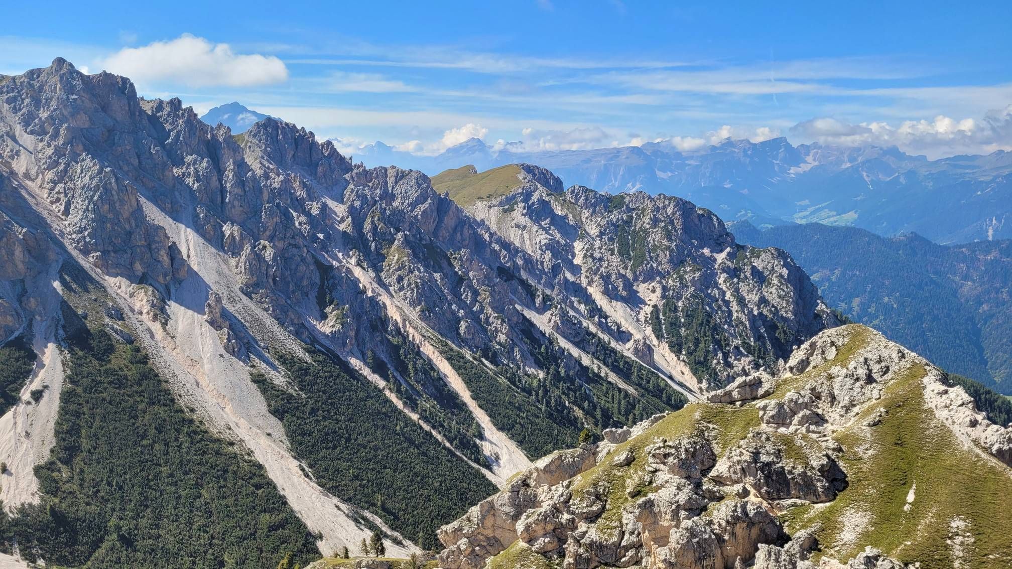
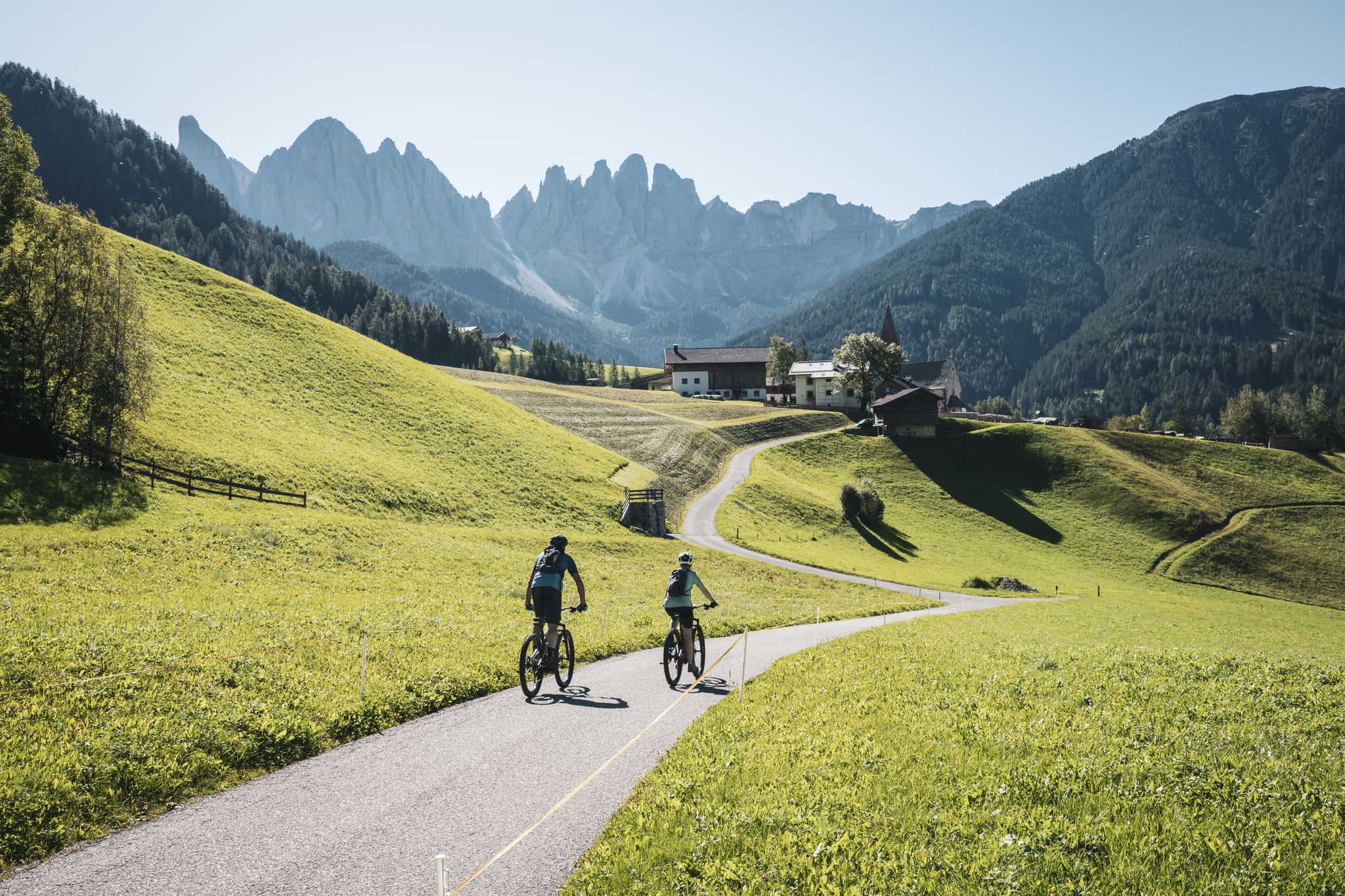
Dog friendly hiking trails around Naturpark Rieserferner-Ahrn - Parco Naturale Vedrette di Ries-Aurina are characterized by high alpine landscapes, abundant water features, and diverse ecosystems. The region features rugged mountain peaks, numerous glaciers, and a network of mountain streams and waterfalls. Valleys and mixed coniferous forests provide varied terrain for exploration.
Best dog friendly hiking trails around Naturpark Rieserferner-Ahrn - Parco Naturale Vedrette di Ries-Aurina
- The most popular dog friendly hiking route is Rasner Möser Biotope Nature Trail, a 5.8 miles (9.4 km) trail that takes 2 hours 27 minutes to complete. This moderate route features a gentle elevation gain of 234 feet (71 meters).
- Another top favourite among local hikers is Franzosensteig historic farm trail through Antholz Valley, a moderate 8.5 miles (13.6 km) path. This trail offers a significant elevation gain of 1,579 feet (481 meters) through the valley.
- Local hikers also love the Sunnsweg Trailhead Parking – Untere Egger Waterfalls loop from Antholz Mittertal - Anterselva di Mezzo, a 2.0 miles (3.3 km) trail leading through varied terrain, often completed in about 1 hour.
- Hiking around Naturpark Rieserferner-Ahrn - Parco Naturale Vedrette di Ries-Aurina is defined by high mountains, glaciers, and abundant water features like lakes and waterfalls. The network offers options for different ability levels, from easy walks to challenging alpine routes.
- The routes in Naturpark Rieserferner-Ahrn - Parco Naturale Vedrette di Ries-Aurina are highly rated by the komoot community with an average score of 4.7 stars from more than 6,400 reviews. More than 31,000 hikers have used komoot to explore Naturpark Rieserferner-Ahrn - Parco Naturale Vedrette di Ries-Aurina's varied terrain.
Last updated: August 23, 2026
4.5
(11)
70
hikers
9.36km
02:27
70m
70m
Moderate hike. Good fitness required. Easily-accessible paths. Suitable for all skill levels.
5.0
(1)
15
hikers
13.6km
04:11
480m
480m
Moderate hike. Good fitness required. Easily-accessible paths. Suitable for all skill levels.

Sign up for free
5.0
(4)
21
hikers
Easy hike. Great for any fitness level. Easily-accessible paths. Suitable for all skill levels.
4.5
(4)
24
hikers
12.2km
04:22
690m
690m
Moderate hike. Good fitness required. Mostly accessible paths. Sure-footedness required.
5.0
(1)
7
hikers
Moderate hike. Good fitness required. Mostly accessible paths. Sure-footedness required.
Get access to more routes and recommendations from other explorers.
Sign up for free
Already have an account?
Our route recommendations are based on thousands of hikes, rides, and runs completed by other people on komoot.
Start today with a free account
Your next adventure awaits.
Login or Signup
Popular around Naturpark Rieserferner-Ahrn - Parco Naturale Vedrette di Ries-Aurina

Other adventures around Naturpark Rieserferner-Ahrn - Parco Naturale Vedrette di Ries-Aurina


Tips from the Community


The Waalweg is the narrow path or trail that runs directly alongside the Waal canal. It was once used by the so-called "Waaler" (the water managers) to monitor, clean, and maintain the canal. They had to ensure that the water flowed unhindered and that all users were supplied evenly. Waalweg trails are very popular with hikers because they are usually almost flat or have only a very slight gradient (the gradient is just steep enough to allow the water to flow, but not so fast that the canal erodes).
2
0
A Waalweg (Waal Trail) is a hiking or walking path that runs along a so-called "Waal" (watercourse). A Waal is an artificially created, open irrigation channel or ditch. These canals were often constructed centuries ago in South Tyrol. Their primary function was to divert water from higher-lying streams, rivers, or lakes and convey it, often over long distances, to lower-lying fields, meadows, and orchards to ensure the survival of agriculture.
2
0
The Waalweg is the narrow path or trail that runs directly alongside the Waal canal. It was once used by the so-called "Waaler" (the water managers) to monitor, clean, and maintain the canal. They had to ensure that the water flowed unhindered and that all users were supplied evenly. Waalweg trails are very popular with hikers because they are usually almost flat or have only a very slight gradient (the gradient is just steep enough to allow the water to flow, but not so fast that the canal erodes).
1
0
A Waalweg (Waal Trail) is a hiking or walking path that runs along a so-called "Waal" (watercourse). A Waal is an artificially created, open irrigation channel or ditch. These canals were often constructed centuries ago in South Tyrol. Their primary function was to divert water from higher-lying streams, rivers, or lakes and convey it, often over long distances, to lower-lying fields, meadows, and orchards to ensure the survival of agriculture.
1
0
The Waalweg is the narrow path or trail that runs directly alongside the Waal canal. It was once used by the so-called "Waaler" (the water managers) to monitor, clean, and maintain the canal. They had to ensure that the water flowed unhindered and that all users were supplied evenly. Waalweg trails are very popular with hikers because they are usually almost flat or have only a very slight gradient (the gradient is just steep enough to allow the water to flow, but not so fast that the canal erodes).
1
0
A Waalweg (Waal Trail) is a hiking or walking path that runs along a so-called "Waal" (watercourse). A Waal is an artificially created, open irrigation channel or ditch. These canals were often constructed centuries ago in South Tyrol. Their primary function was to divert water from higher-lying streams, rivers, or lakes and convey it, often over long distances, to lower-lying fields, meadows, and orchards to ensure the survival of agriculture.
0
0

Frequently Asked Questions
How many dog-friendly hiking trails are available in Naturpark Rieserferner-Ahrn?
There are over 80 dog-friendly hiking trails in Naturpark Rieserferner-Ahrn, ranging from easy strolls to challenging mountain ascents. You'll find a diverse selection to suit various fitness levels for you and your canine companion.
What are the general rules for hiking with dogs in Naturpark Rieserferner-Ahrn?
To protect wildlife and ensure a pleasant experience for all, dogs must generally be kept on a leash throughout the Naturpark Rieserferner-Ahrn. Always clean up after your dog and be mindful of grazing animals, especially in alpine pasture areas. Carrying enough water for both you and your dog is also highly recommended.
Are there any easy dog-friendly trails suitable for families or older dogs?
Yes, there are many easy options. For a gentle walk with beautiful views, consider the Rasner Möser Biotope Nature Trail. Another excellent choice is the Sunnsweg Trailhead Parking – Untere Egger Waterfalls loop, which is shorter and features lovely waterfalls.
Which dog-friendly trails offer water access for my dog to cool off?
The Naturpark Rieserferner-Ahrn is known for its abundant water features. Trails around Lake Antholz (Antholzer See) offer great opportunities for dogs to access the water's edge, though swimming regulations might apply in certain areas. Many routes also follow mountain streams, providing natural spots for a quick drink or paw dip. The Untere Egger Waterfalls loop is a good example of a trail with water features.
What kind of natural landmarks can I expect to see on dog-friendly hikes?
The park is rich in natural beauty. You can explore spectacular waterfalls like the Reinbach waterfalls near Sand in Taufers, or the Untere Egger Waterfalls. Pristine lakes such as Lake Antholz are also prominent. The region also features impressive mountain peaks and unique geological formations like the bizarre earth pyramids near Platten/Plata.
Are there any circular dog-friendly routes available?
Absolutely. Many of the trails in the region are designed as loops, allowing you to start and end at the same point. For a moderate circular route, consider the Rasner Möser Biotope Nature Trail. Another option with stunning views is the Grentealm – View of Anterselva Valley loop, though this one is more challenging.
What is the best time of year to hike with my dog in Naturpark Rieserferner-Ahrn?
The best time for dog hiking is typically from late spring (May/June) to early autumn (September/October). During these months, the weather is generally pleasant, trails are clear of snow, and alpine pastures are lush. Summer offers warmer temperatures, while autumn provides stunning foliage. Always check local weather and trail conditions before heading out.
Are there dog-friendly mountain huts or restaurants in the area?
While many mountain huts (like Rieserferner Hut or Knuttenalm) welcome hikers, it's always best to check their specific dog policies in advance, especially regarding indoor access. Many establishments in the valleys, particularly in towns like Campo Tures (Sand in Taufers) or Antholz, offer outdoor seating where dogs are welcome.
Where can I find parking for dog-friendly trailheads?
Many popular trailheads, such as those for the Untere Egger Waterfalls loop or routes around Lake Antholz, have designated parking areas. These are often well-marked. For specific routes, komoot tour pages usually provide details on parking availability near the starting point.
What do other hikers enjoy most about dog-friendly trails in Naturpark Rieserferner-Ahrn?
The area is highly rated by the komoot community, with an average score of 4.7 stars. Reviewers often praise the stunning alpine scenery, the abundance of fresh water for dogs, and the well-maintained paths that make for enjoyable and safe outings with their canine companions. The variety of trails, from gentle valley walks to more challenging mountain routes, is also frequently highlighted.
Can I reach any dog-friendly trailheads using public transport?
Public transport options are available within the region, connecting various villages and valleys. While some bus routes might get you close to trailheads, it's advisable to check specific schedules and whether dogs are permitted on board (often requiring a muzzle and leash, and sometimes an extra ticket). Planning your route in advance using local transport websites is recommended.
Are there any longer, more challenging dog-friendly hikes for experienced hikers?
Yes, for those seeking a greater challenge, the park offers more demanding routes. The Franzosensteig historic farm trail through Antholz Valley is a moderate to difficult option with significant elevation gain. Another challenging route is the Former Waalweg Trail near Gais – Kehlburg Castle Ruins loop, which offers historical interest alongside its physical demands.
Most popular routes around Naturpark Rieserferner-Ahrn - Parco Naturale Vedrette di Ries-Aurina
Most popular attractions around Naturpark Rieserferner-Ahrn - Parco Naturale Vedrette di Ries-Aurina

Get inspired with the komoot mobile app


Explore more
Browse the best Hikes in other regions.
