The best hikes from bus stations around Parco Nazionale Cilento Vallo di Diano e Alburni
4.4
(2895)
11,229
hikers
35
hikes
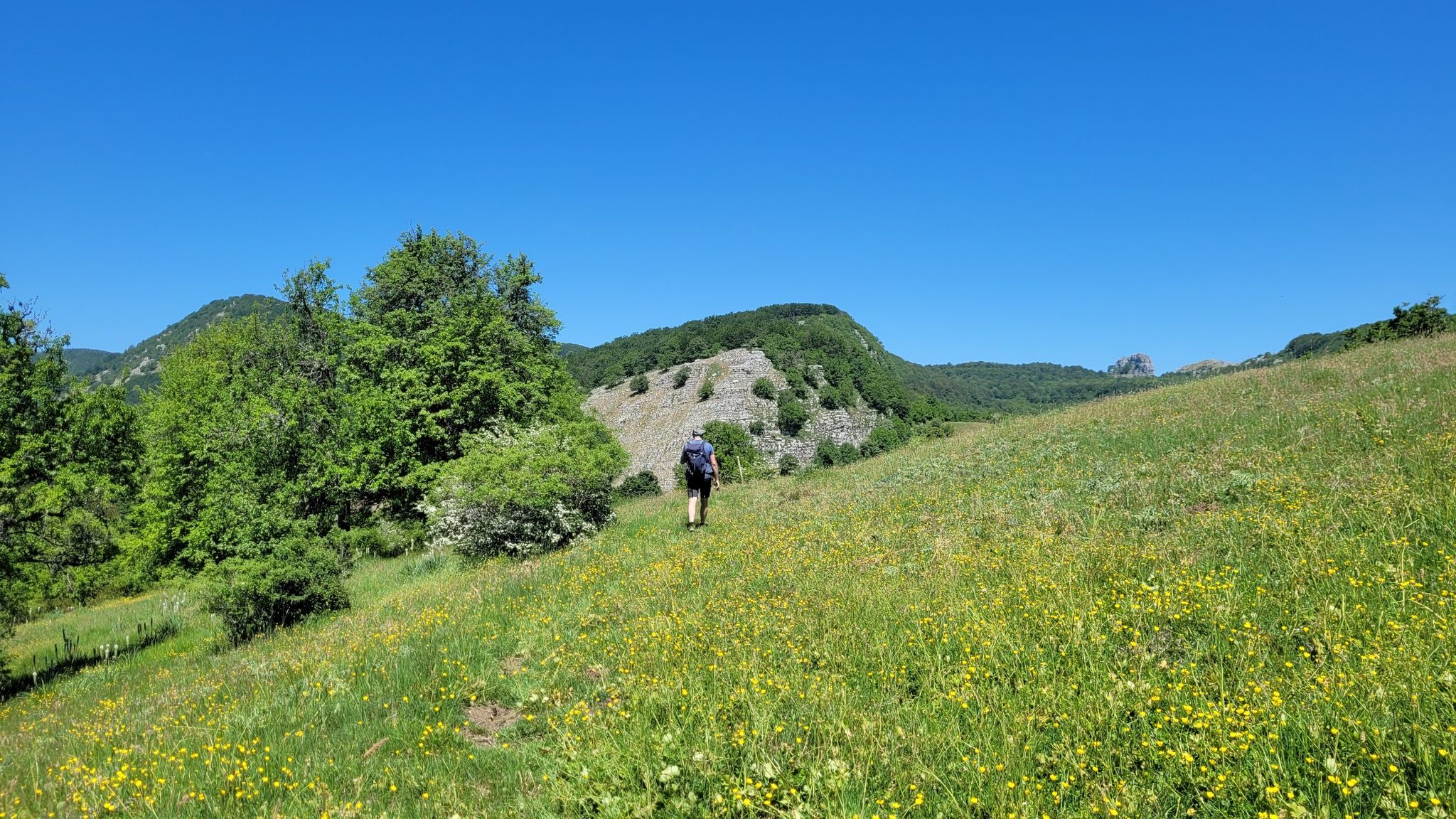
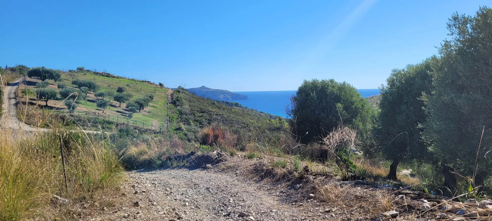
Bus station hiking trails around Parco Nazionale Cilento Vallo di Diano e Alburni traverse a diverse landscape, ranging from the Tyrrhenian coast to the Apennine mountains. The region features coastal paths with sea views, river valleys like the Calore and Bussento, and mountainous areas including the Alburni Mountains. Hikers will find varied vegetation, from Mediterranean scrub along the coast to dense beech and chestnut forests at higher elevations.
Best bus station hiking trails around Parco Nazionale Cilento Vallo di Diano…
Last updated: June 29, 2026
4.9
(16)
50
hikers
27.7km
08:28
660m
660m
Hard hike. Very good fitness required. Mostly accessible paths. Sure-footedness required.
4.3
(3)
17
hikers
Easy hike. Great for any fitness level. Easily-accessible paths. Suitable for all skill levels.

Sign up for free
4.4
(7)
54
hikers
Easy hike. Great for any fitness level. Easily-accessible paths. Suitable for all skill levels.
4.5
(6)
11
hikers
6.71km
02:01
210m
210m
Moderate hike. Good fitness required. Easily-accessible paths. Suitable for all skill levels.
4.7
(6)
14
hikers
16.1km
05:11
680m
680m
Hard hike. Very good fitness required. Easily-accessible paths. Suitable for all skill levels.
Get access to more routes and recommendations from other explorers.
Sign up for free
Already have an account?
Our route recommendations are based on thousands of hikes, rides, and runs completed by other people on komoot.
Start today with a free account
Your next adventure awaits.
Login or Signup
Popular around Parco Nazionale Cilento Vallo di Diano e Alburni
Other adventures around Parco Nazionale Cilento Vallo di Diano e Alburni


Tips from the Community

Sentiero di S.Iconio to Cala dArconte
0
0

Wonderful views over the landscape around Capo Palinuro. Unfortunately, the path is somewhat dilapidated, as is the open-air area. The Monirail cable car is also no longer in operation. But the panorama is magnificent.
0
0

This route on the Cilento Coast was very beautiful for the views of both the sea and the hills close to the coast
1
0

Romantic river landscape just before the mouth into the sea
0
0
Combined cycle and pedestrian path - at least shady
0
0
In addition to tourism, Marina di Camerota is also a lively town outside of the season
1
0
Under the arches there is a very interesting gallery with photos and information about the history of rope weaving in Marina di Camerota. The ropes were made from a tough grass that had annoyed us so much on the way from Camerota to Lentiscosa.
1
0
Frequently Asked Questions
How many bus-accessible hiking trails are available in Parco Nazionale Cilento, Vallo di Diano e Alburni?
There are over 35 hiking routes in this guide that are accessible from bus stations. These include 14 easy, 14 moderate, and 8 difficult trails, offering options for various skill levels.
Are there any easy, short hikes from bus stops suitable for beginners or families?
Yes, there are several easy routes. For a relatively short and scenic option, consider the Pathway to Arco Naturale – Natural Arch of Palinuro loop from SIC Mingardo. This easy 5.1 km trail offers beautiful coastal views and is a great introduction to the area's natural beauty.
What kind of natural attractions can I expect to see along bus-accessible hiking trails?
The region is rich in natural beauty. Depending on your chosen route, you might encounter stunning coastal features like Pozzallo Beach or the famous Baia degli Infreschi. Inland, you could discover dramatic river gorges or even waterfalls such as the Capelli di Venere Waterfalls. The park's diverse landscape ranges from Mediterranean scrub to dense forests.
Are there any circular hiking routes that start and end at a bus station?
Many of the trails in this guide are designed as loops, allowing you to start and finish at the same point, often conveniently located near a bus stop. An example is the Historic Town of Castellabate – Castello dell'Abate loop from Castellabate, a moderate 10.9 km route that explores the charming village and its historic castle.
Can I bring my dog on these bus-accessible hiking trails?
Generally, dogs are permitted on trails within Parco Nazionale Cilento, Vallo di Diano e Alburni, but it's crucial to keep them on a leash, especially in protected areas or where wildlife is present. Always check local signage for specific restrictions, particularly near beaches or archaeological sites. Ensure your dog is well-behaved and that you clean up after them.
What historical or cultural sites can be visited near bus-accessible trailheads?
The park is a UNESCO World Heritage site, blending natural beauty with cultural significance. You can explore ancient Greek towns like Velia, with its impressive Acropolis of Velia, or visit charming medieval villages. The Historic Town of Castellabate – Castello dell'Abate loop from Castellabate, for instance, takes you past the Castello dell'Abate.
What do other hikers say about the bus-accessible trails in this region?
The trails in Parco Nazionale Cilento, Vallo di Diano e Alburni are highly regarded by the komoot community, with an average rating of 4.4 stars from over 2,500 reviews. Hikers frequently praise the stunning coastal views, the diverse landscapes, and the opportunity to combine nature exploration with cultural discoveries.
Are there any challenging or longer routes accessible by bus?
Yes, for those seeking a more strenuous adventure, there are difficult routes available. The Pathway to Punta Licosa loop from Castellabate is a challenging 27.7 km hike, while the Cala d'Arconte Beach – Baia di Calanca loop from Marina di Camerota offers a difficult 17.3 km coastal experience.
What is the best time of year to hike these bus-accessible trails?
The spring (April-June) and autumn (September-October) months are generally ideal for hiking in Parco Nazionale Cilento, Vallo di Diano e Alburni. During these periods, the weather is typically mild, and the landscapes are vibrant with spring blooms or autumn colors. Summers can be hot, especially along coastal paths, so early mornings or late afternoons are recommended if hiking in July or August.
Are there places to eat or find accommodation near the bus-accessible trailheads?
Many of the bus-accessible trailheads are located near or within charming villages and towns such as Castellabate, Marina di Camerota, or Palinuro. These areas typically offer a range of amenities, including restaurants, cafes, and various accommodation options, from hotels to guesthouses. It's advisable to check specific village offerings when planning your trip.
Are there any specific coastal trails that are easy to reach by bus?
Absolutely. The park is renowned for its beautiful coastline. An excellent option is the Pathway to Arco Naturale – Natural Arch of Palinuro loop from SIC Mingardo, which is an easy 5.1 km route offering stunning views of the coast and the iconic Natural Arch of Palinuro, and is accessible from a bus stop.
Most popular routes around Parco Nazionale Cilento Vallo di Diano e Alburni
Most popular attractions around Parco Nazionale Cilento Vallo di Diano e Alburni

Get inspired with the komoot mobile app


Explore more
Browse the best Hikes in other regions.
