The best hikes from bus stations around Breheimen
4.5
(1295)
6,875
hikers
84
hikes
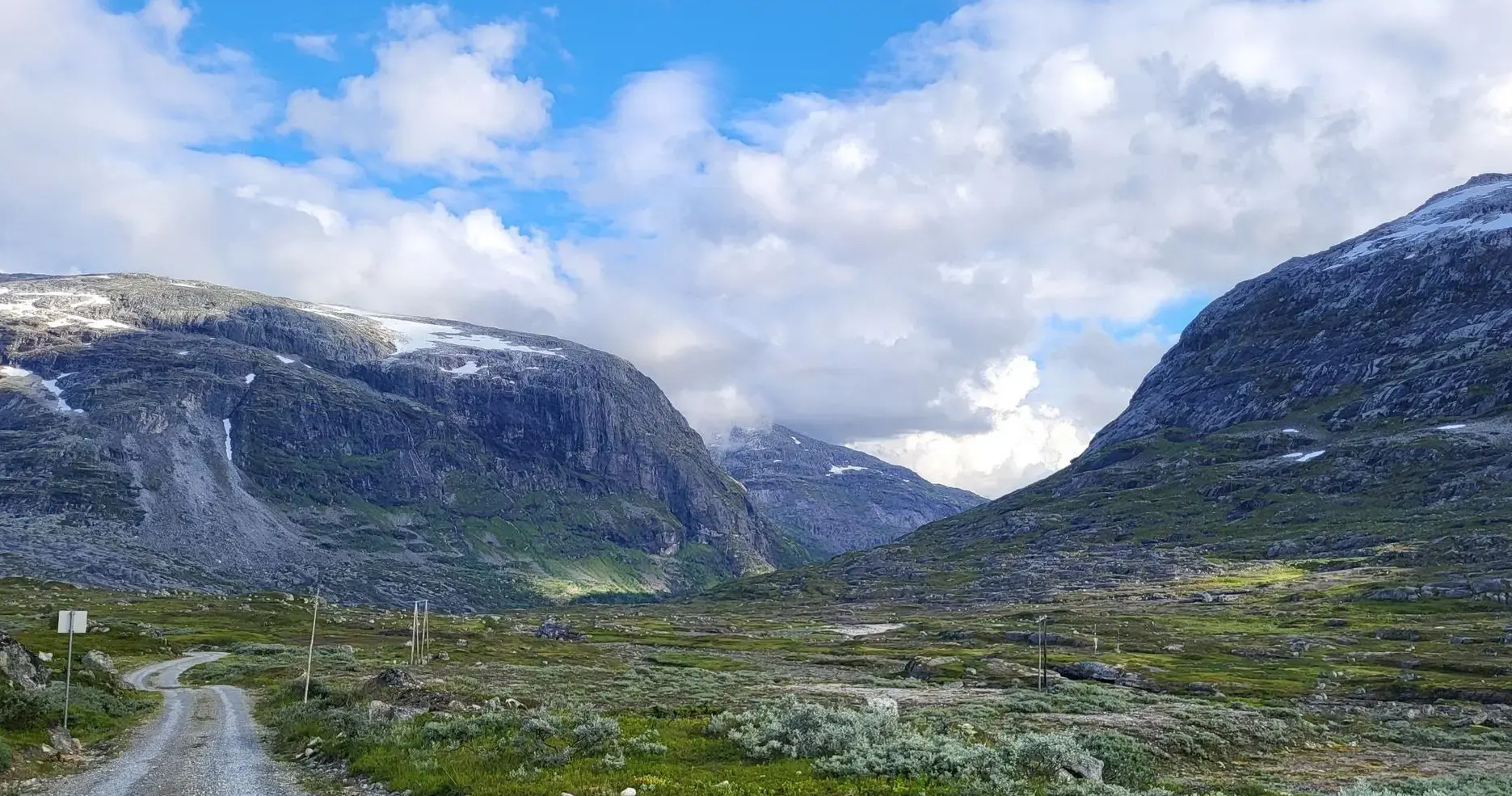
Bus station hiking trails around Breheimen traverse a landscape shaped by extensive glacier systems and geological processes. The region features towering peaks, including the Hestbrepiggane, alongside deep U-shaped valleys like Mørkridsdalen. Numerous rivers and crystal-clear glacial lakes, such as Sottjønnin, contribute to the varied topography, offering diverse environments for hiking.
Best bus station hiking trails around Breheimen
- The most popular bus station hiking route is View of Jostedalsbreen Glacier – Fantesteinen Pass Summit loop from Sognefjellshytta, a 3.3 miles…
Last updated: June 29, 2026
4.8
(33)
136
hikers
Moderate hike. Great for any fitness level. Mostly accessible paths. Sure-footedness required.
4.6
(40)
201
hikers
5.30km
01:58
170m
170m
Hard hike. Great for any fitness level. Sure-footedness, sturdy shoes and alpine experience required.

Sign up for free
4.3
(8)
28
hikers
7.68km
02:39
210m
210m
Hard hike. Good fitness required. Sure-footedness, sturdy shoes and alpine experience required.
4.7
(7)
26
hikers
11.3km
03:38
420m
420m
Moderate hike. Good fitness required. Mostly accessible paths. Sure-footedness required.
4.4
(7)
64
hikers
Moderate hike. Great for any fitness level. Mostly accessible paths. Sure-footedness required.
Get access to more routes and recommendations from other explorers.
Sign up for free
Already have an account?
Our route recommendations are based on thousands of hikes, rides, and runs completed by other people on komoot.
Start today with a free account
Your next adventure awaits.
Login or Signup
Popular around Breheimen
Other adventures around Breheimen

Tips from the Community


A breathtaking scenery with snow in midsummer. The highest point is the Fantesteinen. In midsummer (late June), you can even still see cross-country skiers – so it's still very cool to cold.
0
0

Old and new, superbly packaged, a real eye-catcher. You can also stay overnight here and go on wonderful hikes
4
0
Here, at around 1400 m altitude, is the highest road point in Scandinavia, just above the large mountain hut Sognefjellhytta
4
0
Above the Sognefjellhytta there is a beautiful viewpoint at 1450 m altitude with a wonderful panoramic view of the mountains with the glaciers
2
0

The path leads along the river towards the glacier
0
0

And stay at Europe's highest mountain pass at 1,428 m and enjoy summer skiing (until mid-July) and the snowy areas.
0
0
At the highest mountain pass in Northern Europe, at 1528
0
0
Frequently Asked Questions
How many bus station hiking trails are available in Breheimen?
There are nearly 90 hiking routes in Breheimen that are accessible directly from bus stations. These trails offer a wide range of experiences, from easy strolls to challenging mountain ascents.
What is the best time of year to hike from bus stations in Breheimen?
The best time for hiking in Breheimen is typically during the summer months, from late June to early September. During this period, snow has usually melted from most trails, and bus services to trailheads are more frequent. The region's glaciers and high peaks are particularly stunning under the summer sun.
What is the typical terrain like on bus-accessible hikes in Breheimen?
The terrain in Breheimen is incredibly varied, reflecting its glacial history. You can expect everything from lush, U-shaped valleys like Mørkridsdalen with diverse plant life and waterfalls, to barren high mountain plateaus and moraine fields near glaciers. Some paths are well-marked, while others, especially at higher altitudes, can be more rugged and less visible.
Are there options for different difficulty levels among the bus station hikes?
Yes, the bus-accessible trails in Breheimen cater to various skill levels. You'll find over 25 easy routes perfect for a leisurely walk, nearly 50 moderate trails for those seeking a bit more challenge, and over a dozen difficult routes for experienced hikers looking for demanding ascents and longer excursions.
What natural features or landmarks can I expect to see on bus-accessible trails?
Breheimen is renowned for its dramatic natural beauty. On bus-accessible trails, you can expect to encounter impressive glaciers like Jostedalsbreen and Bøverbreen, towering peaks such as Lomseggen, and crystal-clear glacial lakes like Sottjønnin and Åsetevatnet. Many routes also feature powerful waterfalls and deep valleys.
Are there any specific viewpoints or scenic spots accessible from bus routes?
Absolutely. Many bus-accessible trails lead to breathtaking viewpoints. For instance, the View of Jostedalsbreen Glacier – Fantesteinen Pass Summit loop from Sognefjellshytta offers spectacular vistas of mainland Europe's largest glacier. Another notable spot is Lomseggen Summit (1,289 m), which provides panoramic views, including parts of Jotunheimen.
What do other hikers enjoy most about bus station hikes in Breheimen?
The area is highly rated by the komoot community, with an average score of 4.5 stars. Reviewers often praise the unparalleled natural beauty, the dramatic glacial landscapes, and the sense of wilderness. The accessibility of such stunning scenery directly from public transport is also a frequently highlighted advantage.
Are there any circular hiking routes starting from bus stations?
Yes, several bus-accessible trails are designed as circular routes, allowing you to start and end at the same point without needing to retrace your steps. Examples include the View of Jostedalsbreen Glacier – Fantesteinen Pass Summit loop from Sognefjellshytta and the Krossbu Tourist Station – Bøverbreen Glacier loop from Krossbu.
Are bus station hikes in Breheimen suitable for families?
Many bus-accessible trails in Breheimen are suitable for families, especially the easier and moderate routes found in the valleys. These often feature gentler inclines and offer opportunities to enjoy the diverse plant life and smaller waterfalls. Always check the specific route details for distance and elevation to ensure it matches your family's capabilities.
Can I bring my dog on these bus-accessible trails?
Generally, dogs are welcome on hiking trails in Breheimen, but they must be kept on a leash, especially during certain periods to protect grazing livestock and wildlife. Always check local regulations and signage at the trailhead, as rules can vary. Ensure your dog is accustomed to varied terrain and bring enough water for them.
Are there opportunities for wild swimming near bus-accessible trails?
Breheimen is dotted with numerous crystal-clear glacial lakes and rivers. While many are very cold due to their glacial origin, some offer refreshing opportunities for wild swimming on warmer days. Lakes like Sottjønnin and Åsetevatnet are examples of beautiful spots where you might find suitable swimming areas, though always exercise caution with cold water and strong currents.
Where can I find refreshments or cafes near the bus station trailheads?
Some popular bus stops and trailheads, especially those near tourist stations or mountain lodges, may have facilities offering refreshments or cafes. For example, Krossbu Tourist Station and Sognefjellshytta are known starting points for hikes and often provide amenities. It's always advisable to check opening hours in advance, especially outside peak season, and to carry sufficient supplies.
Are there any challenging bus-accessible hikes for experienced hikers?
Yes, Breheimen offers several challenging bus-accessible hikes for experienced adventurers. Routes like the Krossbu Tourist Station – Bøverbreen Glacier loop from Krossbu or the Bøverbreen Glacier – View of Sognefjellet loop from Krossbu involve significant elevation gain and rugged terrain, often leading to impressive glacial views. These routes demand good physical condition and appropriate gear.
Most popular routes around Breheimen
Most popular attractions around Breheimen

Get inspired with the komoot mobile app


Explore more
Browse the best Hikes in other regions.
