The best hikes from bus stations around Dovre
4.5
(650)
3,399
hikers
2
hikes
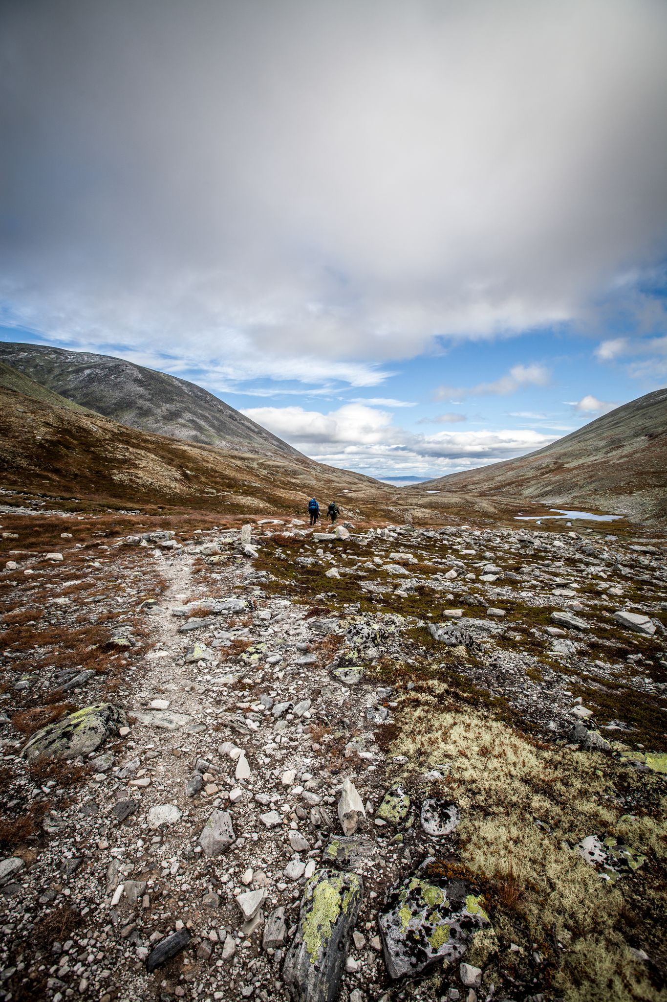
Bus station hiking trails around Dovre traverse a rugged, arctic-like environment characterized by gentle, rounded peaks and dramatic landscapes. Much of the region lies above the tree line, featuring diverse alpine plants and traces of permafrost. The western parts present jagged mountains and deep valleys, while the eastern areas are typically gentler and drier. This unique terrain offers varied hiking experiences accessible directly from public transport stops.
Best bus station hiking trails around Dovre
- The most popular bus station hiking…
Last updated: May 18, 2026
5.0
(1)
10
hikers
3.96km
01:00
10m
10m
Easy hike. Great for any fitness level. Easily-accessible paths. Suitable for all skill levels.
4.5
(2)
14
hikers
Easy hike. Great for any fitness level. Easily-accessible paths. Suitable for all skill levels.

Sign up for free
4.6
(45)
111
hikers
5.25km
01:23
50m
50m
Easy hike. Great for any fitness level. Easily-accessible paths. Suitable for all skill levels.
4.8
(10)
28
hikers
15.5km
04:08
160m
160m
Moderate hike. Good fitness required. Easily-accessible paths. Suitable for all skill levels.
Our route recommendations are based on thousands of hikes, rides, and runs completed by other people on komoot.
Start today with a free account
Your next adventure awaits.
Login or Signup
Popular around Dovre
Other adventures around Dovre

Tips from the Community

A very nice campsite – it's connected to the Gudbrandsdal Trail network, so it also offers designated accommodations for pilgrims. Cabins are still quite affordable for this region. Camping is also possible, of course. It has a very cozy restaurant. A burger with fries costs 150 kr, for example.
0
0

Beautiful route, you feel like you are in another world
0
0

Dovre Church is situated within the upper Gudbrandsdalen valley. You'll likely spot its structure from the main road as you cycle through. The church is easy to spot from the main road and it's a good chance for a break to have a rest.
0
0

Great place to make a fire
1
0

In addition to a picnic area, there are also various information boards about the fauna and flora of the Rondane National Park as well as a large overview map of the Dovre-Rondane National Park regions.
0
0
This spacious shelter with river access offers plenty of space for resting and bivouacking. It also has a fire pit, a simple grill, and barbecue tongs.
1
1
A great waterfall in the middle of the forest. There is a shelter and a possibility to make a fire.
0
0

Relatively quiet due to its proximity to the water. A bridge and waterfall are small highlights nearby.
0
0
Frequently Asked Questions
How many bus-accessible hiking trails are featured in this guide for Dovre?
This guide highlights a selection of 2 easy hiking trails that are conveniently accessible from bus stations in the Dovre region. These routes are designed for easy access using public transport.
What kind of terrain can I expect on bus-accessible hikes in Dovre?
The bus-accessible routes in this guide, such as the Dovre Church – Dovre church loop, generally feature gentle terrain with minimal elevation gain. Dovre itself is known for its rugged, arctic-like environment, but these specific trails are chosen for their accessibility and ease, often traversing gentler landscapes near settlements.
Are there any circular hiking routes accessible by bus in Dovre?
Yes, this guide includes circular routes that start and end near bus stops. For example, the Dovre Church – Dovre church loop is a great option for a circular hike, allowing you to return to your starting point without needing additional transport.
What natural features or landmarks can I see along these bus-accessible trails?
While the bus-accessible trails in this guide are generally shorter, they can still offer glimpses of the region's character. The Bronze Musk Ox Sculpture – Dombås Hiking Trail Map loop, for instance, passes by the Bronze Musk Ox Sculpture. For broader views of the dramatic Dovrefjell landscape, you might consider visiting viewpoints like View of Dovre National Park Valley or View of Snøhetta, though these may require further travel from bus stops.
Are the bus-accessible hiking trails in Dovre suitable for families with children?
Yes, the trails highlighted in this guide are generally easy and suitable for families. Routes like the Dovre Church – Dovre church loop are short in distance and have minimal elevation changes, making them ideal for a leisurely family outing.
Can I bring my dog on these bus-accessible hikes in Dovre?
Most hiking trails in Norway, including those in Dovre, are dog-friendly, provided dogs are kept on a leash, especially during certain times of the year to protect wildlife. Always check local regulations for specific areas or national parks. The easy, shorter routes in this guide are generally well-suited for walks with leashed dogs.
What is the best time of year to hike the bus-accessible trails in Dovre?
The best time for hiking in Dovre is typically from late spring to early autumn (June to September) when the weather is milder and trails are clear of snow. Even the lower-lying bus-accessible routes can experience snow and ice outside of these months. Dovre's arctic-like environment means snow can persist on higher ground for much of the year.
Are there opportunities to see wildlife on these bus-accessible routes?
While the bus-accessible routes are closer to developed areas, Dovre is renowned for its unique wildlife, including musk oxen and wild reindeer. While direct sightings on these specific trails might be less common than in the deeper national park, the region as a whole offers excellent wildlife viewing opportunities. Consider a dedicated musk ox safari for a higher chance of spotting these animals.
What do other hikers enjoy most about hiking in Dovre?
The komoot community rates hiking in Dovre highly, with an average score of 4.5 stars. Reviewers often praise the region's dramatic and unique arctic-like landscapes, the sense of wilderness, and the well-maintained trails. Even on shorter, bus-accessible routes, hikers appreciate the opportunity to experience a taste of this special environment.
Are there any cafes or places to eat near the bus stations or trails in Dovre?
Dovre and Dombås, where some of these bus-accessible trails are located, offer local amenities including cafes and eateries. It's always a good idea to check opening hours in advance, especially outside of peak season, to ensure you can find refreshments before or after your hike.
Are there any longer, more challenging bus-accessible hikes in the Dovre region?
While this specific guide focuses on easy bus-accessible routes, the Dovre region offers an extensive network of trails, including more challenging options. For example, the Upper Fallfossen Waterfall – Upper Fallfossen Bridge loop is a moderate 15 km hike that could be accessed via public transport to Fallet, offering a longer experience with more elevation.
Most popular routes around Dovre
Most popular attractions around Dovre

Get inspired with the komoot mobile app


Explore more
Browse the best Hikes in other regions.
