The best hikes from bus stations around Wuhlheide
4.5
(12513)
65,018
hikers
1,352
hikes
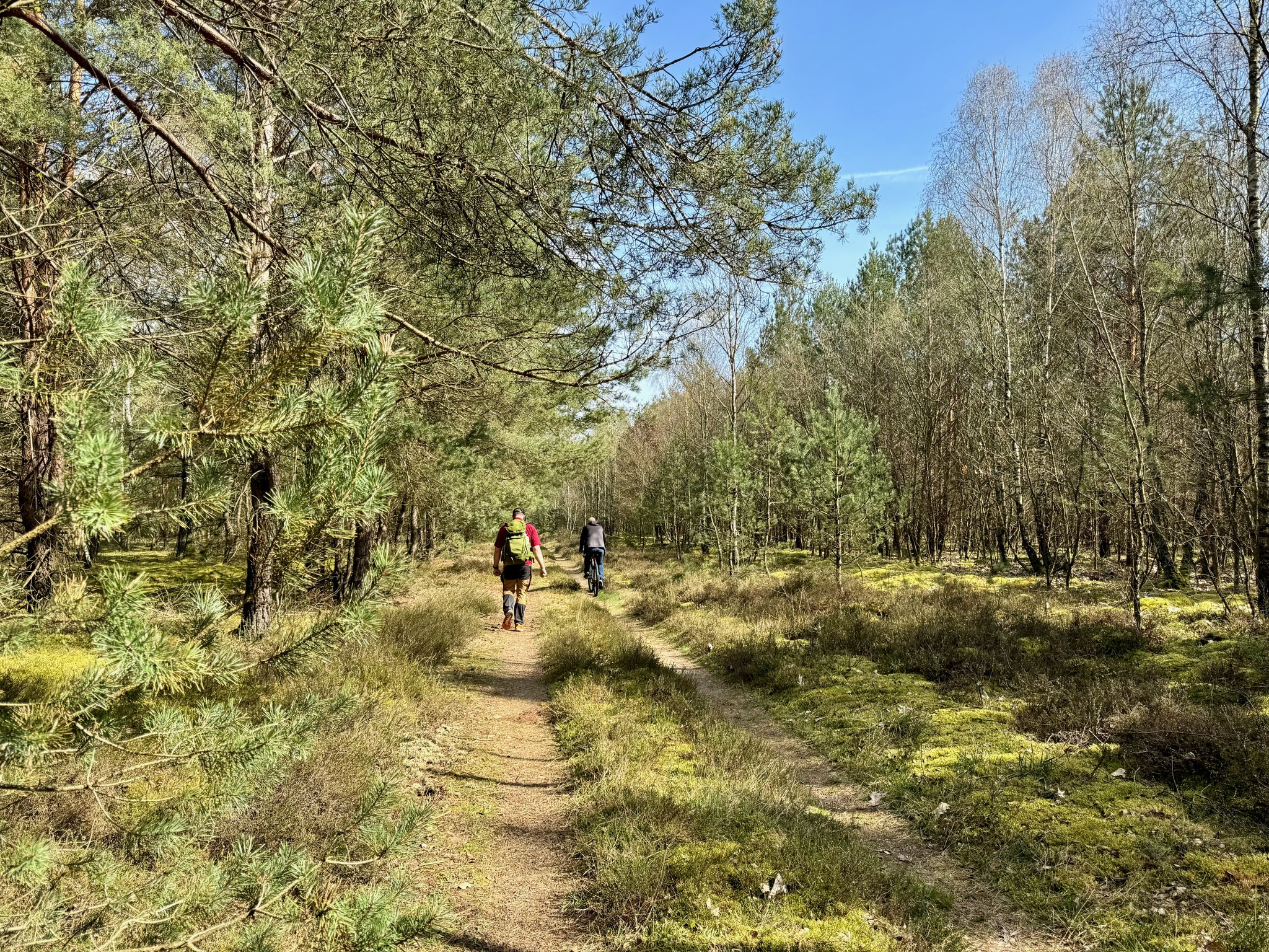
Bus station hiking trails around Wuhlheide offer access to a vast public forest park in southeastern Berlin, characterized by diverse landscapes. The region features a blend of quiet woodlands, open meadows, and designed gardens, with extensive footpaths winding through these natural settings. Ecological highlights include acidic soil oak forests, remnants of alder willow swamp forests, and dry grasslands. The terrain is generally flat, with minimal elevation changes across its network of trails.
Best bus station hiking trails around Wuhlheide
- The…
Last updated: June 29, 2026
4.3
(14)
46
hikers
Moderate hike. Good fitness required. Easily-accessible paths. Suitable for all skill levels.
4.9
(9)
28
hikers
Moderate hike. Good fitness required. Easily-accessible paths. Suitable for all skill levels.

Sign up for free
14
hikers
Easy hike. Great for any fitness level. Easily-accessible paths. Suitable for all skill levels.
4.0
(2)
24
hikers
Moderate hike. Good fitness required. Easily-accessible paths. Suitable for all skill levels.
16
hikers
5.10km
01:17
10m
10m
Easy hike. Great for any fitness level. Easily-accessible paths. Suitable for all skill levels.
Get access to more routes and recommendations from other explorers.
Sign up for free
Already have an account?
Our route recommendations are based on thousands of hikes, rides, and runs completed by other people on komoot.
Start today with a free account
Your next adventure awaits.
Login or Signup
Other adventures around Wuhlheide


Tips from the Community


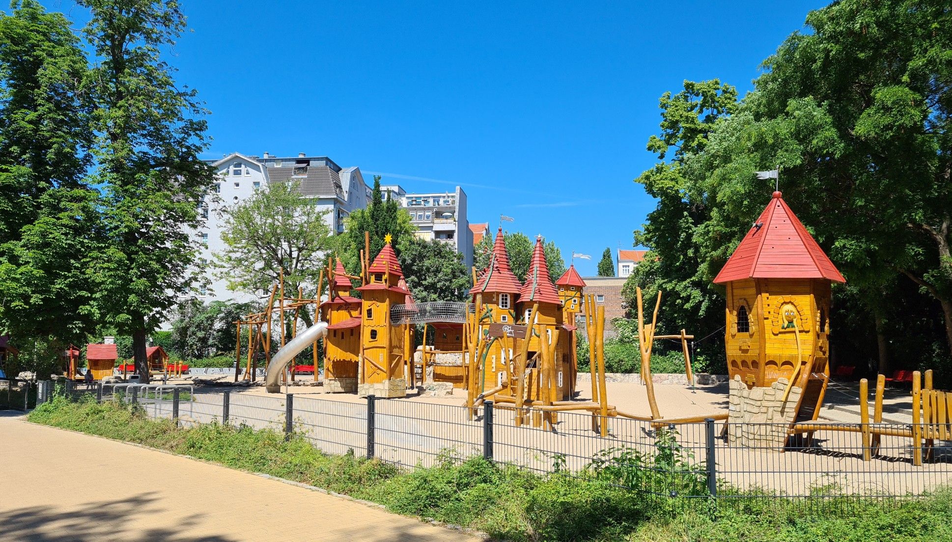
Status 03/2026: Currently, there is a construction site here. The old castle was broken and dilapidated. The completion date was probably December 1, 2025. A "joker" changed the 5 to a 6 on the sign ...🙁. Let's see if they finish by then.
0
0
With its proximity to the main entrance of the Recreation and Leisure Centre (FEZ), this station represents the operational centre of the park railway. Originally, a Mitropa restaurant called "Mäxchen Pfiffig" was located in part of the station. Today, the operational and business management of the BPE is located here. Source: https://de.wikipedia.org/wiki/Parkeisenbahn_Wuhlheide
0
0
Some pictures show Hp. Eichgestell Feldbahn. This independent stop belongs to the "500mm Feldbahnprojekt", a museum narrow-gauge railway in the leisure and recreation center. At the western end near the FEZ (formerly the Pioneer Palace) there is a narrow-gauge railway collection, see also the hiking highlight "500 mm Feldbahn Sammlung Berlin" (https://www.komoot.com/de-de/highlight/1344235).
0
0
With the construction of the Pionierpalast in 1979, the route running south of the Badesee had to be relocated to its north side and the then Badesee station abandoned. The route length increased to now 7.2 km. The Pionierpalast station was newly created at this location and later renamed Bf. Eichgestell.
0
0
With the construction of the Pionierpalast in 1979, the route originally running south of the Badesee had to be relocated to its north side, and the Badesee train station, then located east of the lake, had to be abandoned. At the location of today's Bf. Badesee, there was formerly the Bf. Puppentheater, which according to a route plan from 1956 was located on the grounds of today's bungalow village.
0
0

Definitely try: red Fassbrause (soda) on tap
0
0

A great place to relax and recharge, both in summer and winter.
0
0
Frequently Asked Questions
How many hiking routes around Wuhlheide are accessible directly from bus stations?
There are over 1400 hiking routes in the Wuhlheide area that are easily accessible from various bus stations, offering a wide range of options for all skill levels.
Are there any easy, family-friendly hikes from bus stops in Wuhlheide?
Yes, Wuhlheide is very family-friendly. Many routes are designed for easy walking, suitable for children. For example, the Wuhlheide People’s Park – Kindl Stage Wuhlheide loop from Oberschöneweide is an easy 6.2 km loop that explores the park's diverse landscapes and passes by the Parkbühne Wuhlheide, an open-air amphitheater.
What kind of natural features can I expect to see on bus-accessible hikes in Wuhlheide?
Wuhlheide offers a diverse landscape, including quiet woodlands, open meadows, and designed gardens. You can hike through significant acidic soil oak forests, which are home to rare plant species, and remnants of alder and willow swamp forests. The Wuhletalweg, a 15-kilometer trail, also runs through the area, showcasing rich biodiversity along the Wuhle river with meadows, old trees, and small ponds.
Are there any circular hiking routes starting from bus stations in Wuhlheide?
Yes, many routes are circular, allowing you to return to your starting bus station without retracing your steps. An example is the Wuhle Basin – Wuhleblase loop from Stadion An der Alten Försterei, a moderate 8.7 km hike that offers varied scenery.
What are some interesting landmarks or attractions I can visit along the bus-accessible hiking trails?
Wuhlheide features several points of interest. You can pass by the Stadium at the Old Forester's Lodge, or explore areas near the FEZ Berlin – Children's, Youth and Family Center, which also has the Large Spherical Fountain. The Wuhlheide Cycle Path also offers scenic sections for walkers.
Are dogs allowed on the hiking trails in Wuhlheide that are accessible by bus?
Yes, Wuhlheide is generally dog-friendly, and many trails are suitable for walks with your canine companion. Always ensure your dog is on a leash where required and be mindful of other hikers and wildlife. The diverse landscapes provide plenty of interesting smells and sights for dogs.
What is the best time of year to hike in Wuhlheide when using public transport?
Wuhlheide is enjoyable year-round. Spring brings blooming flora, while summer offers lush greenery and pleasant temperatures for longer walks. Autumn is particularly scenic with vibrant foliage. Even in winter, the quiet, snow-dusted woodlands offer a unique hiking experience. Public transport access remains consistent throughout the seasons.
Are there any moderate difficulty hikes accessible by bus in Wuhlheide?
Yes, there are numerous moderate difficulty hikes. For instance, the Former Karlshorst Freight Yard – Biesenhorster Sand loop from Federal Office for Radiation Protection is a moderate 9 km route, and the Finn cabins by the bathing lake – Forest Path in Berlin loop from Stadion An der Alten Försterei is another moderate option at 8.1 km.
What do other hikers enjoy most about hiking in Wuhlheide?
The area is highly rated by the komoot community, with an average score of 4.55 stars. Reviewers often praise the diverse landscapes, the tranquility of the woodlands, and the well-maintained paths that make it accessible for various activities. The blend of natural beauty and family-friendly attractions is frequently highlighted.
Can I find cafes or places to eat near the bus-accessible hiking paths in Wuhlheide?
While specific cafes directly on every bus-accessible path might vary, Wuhlheide is well-integrated into Berlin's urban fabric. You'll find various dining options and cafes in the surrounding neighborhoods, especially near major bus stops and public transport hubs, perfect for a refreshment before or after your hike.
Are there any longer bus-accessible routes for experienced hikers?
Yes, for those seeking a longer challenge, the Wuhle Trail – Wuhletal Trail loop from Biesdorf-Süd offers a moderate 10.1 km hike. This route allows you to explore more of the Wuhle river valley and its diverse ecosystems.
Most popular routes around Wuhlheide
Most popular attractions around Wuhlheide

Get inspired with the komoot mobile app


Explore more
Browse the best Hikes in other regions.
