The best hikes from bus stations around Schwarzenbach-Talsperre
4.6
(17070)
62,651
hikers
19
hikes
Bus station hiking trails around Schwarzenbach-Talsperre are set within the Northern Black Forest, characterized by high fir forests and gentle hills. The expansive Schwarzenbach reservoir, the largest in the Northern and Central Black Forest, forms a central feature, fed by the Schwarzenbach, Seebach, Biberach, and Hundsbach rivers. This region offers varied landscapes, from paths along the reservoir to ascents into the surrounding Black Forest mountains, providing diverse hiking experiences.
Best bus station hiking trails around Schwarzenbach-Talsperre
- The most popular bus…
Last updated: July 13, 2026
4.4
(9)
41
hikers
Moderate hike. Good fitness required. Mostly accessible paths. Sure-footedness required.
4.7
(17)
62
hikers
Moderate hike. Good fitness required. Easily-accessible paths. Suitable for all skill levels.

Sign up for free
4.5
(22)
123
hikers
Moderate hike. Good fitness required. Easily-accessible paths. Suitable for all skill levels.
4.4
(5)
29
hikers
Moderate hike. Good fitness required. Easily-accessible paths. Suitable for all skill levels.
4.5
(13)
92
hikers
Easy hike. Great for any fitness level. Easily-accessible paths. Suitable for all skill levels.
Get access to more routes and recommendations from other explorers.
Sign up for free
Already have an account?
Our route recommendations are based on thousands of hikes, rides, and runs completed by other people on komoot.
Start today with a free account
Your next adventure awaits.
Login or Signup
Popular around Schwarzenbach-Talsperre

Coolcation in the Black Forest – hiking and cooling off in summer
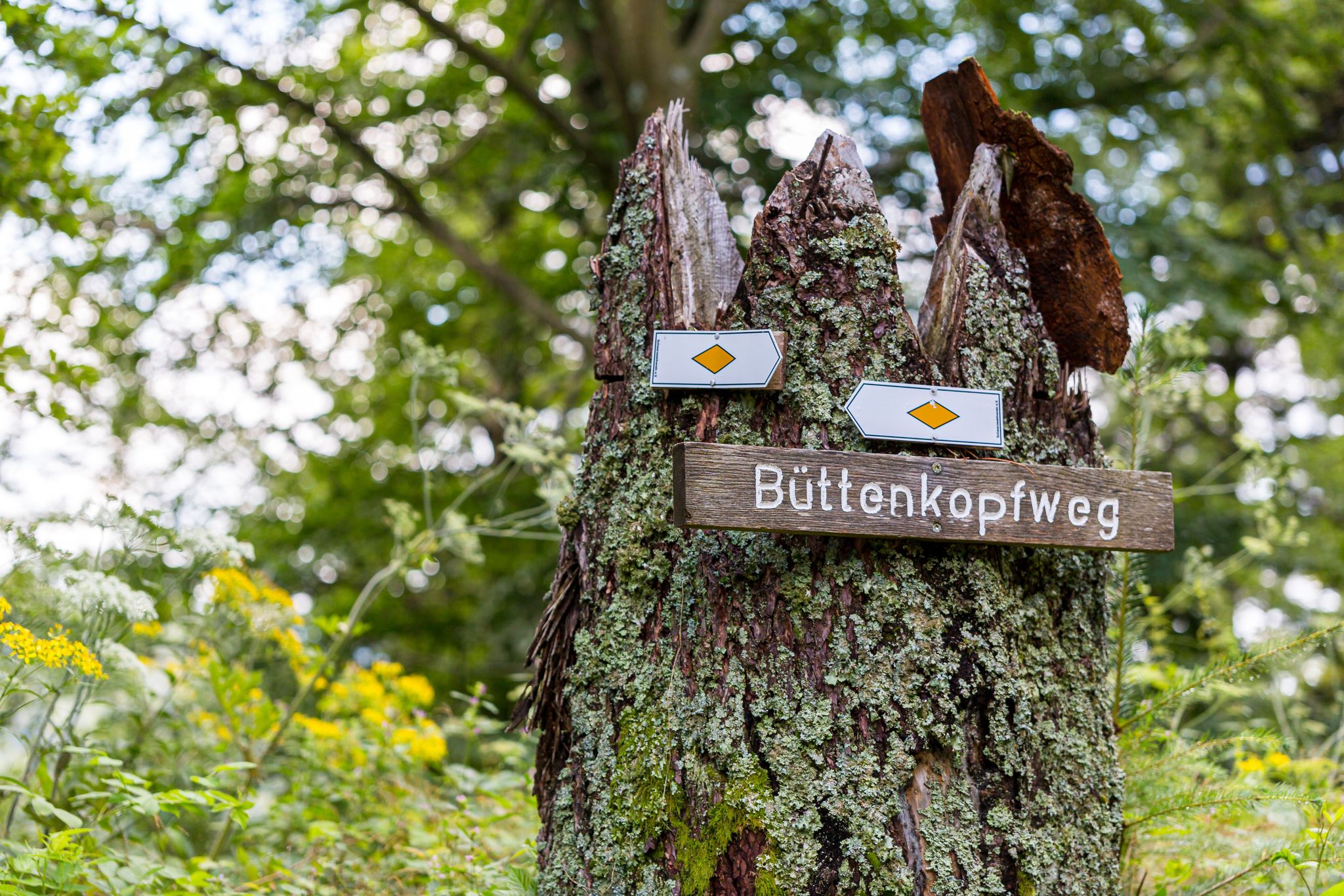
Trekking Schwarzwald 8-day tour from Forbach to Alpirsbach
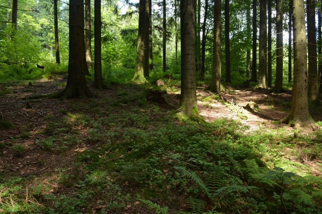
Trekking Black Forest 7-day tour from Forbach to Biberach
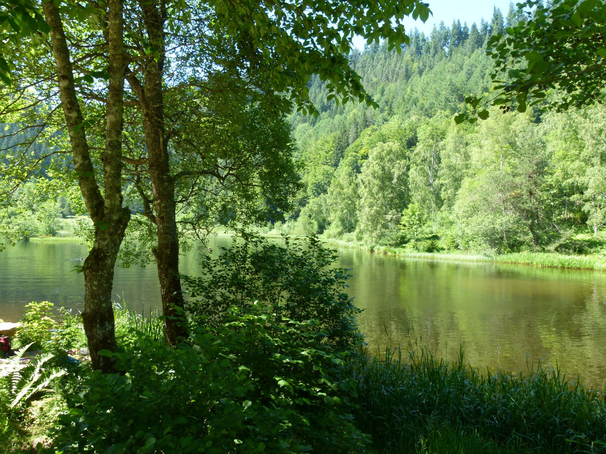
Trekking Schwarzwald 6-day tour from Forbach to Gengenbach
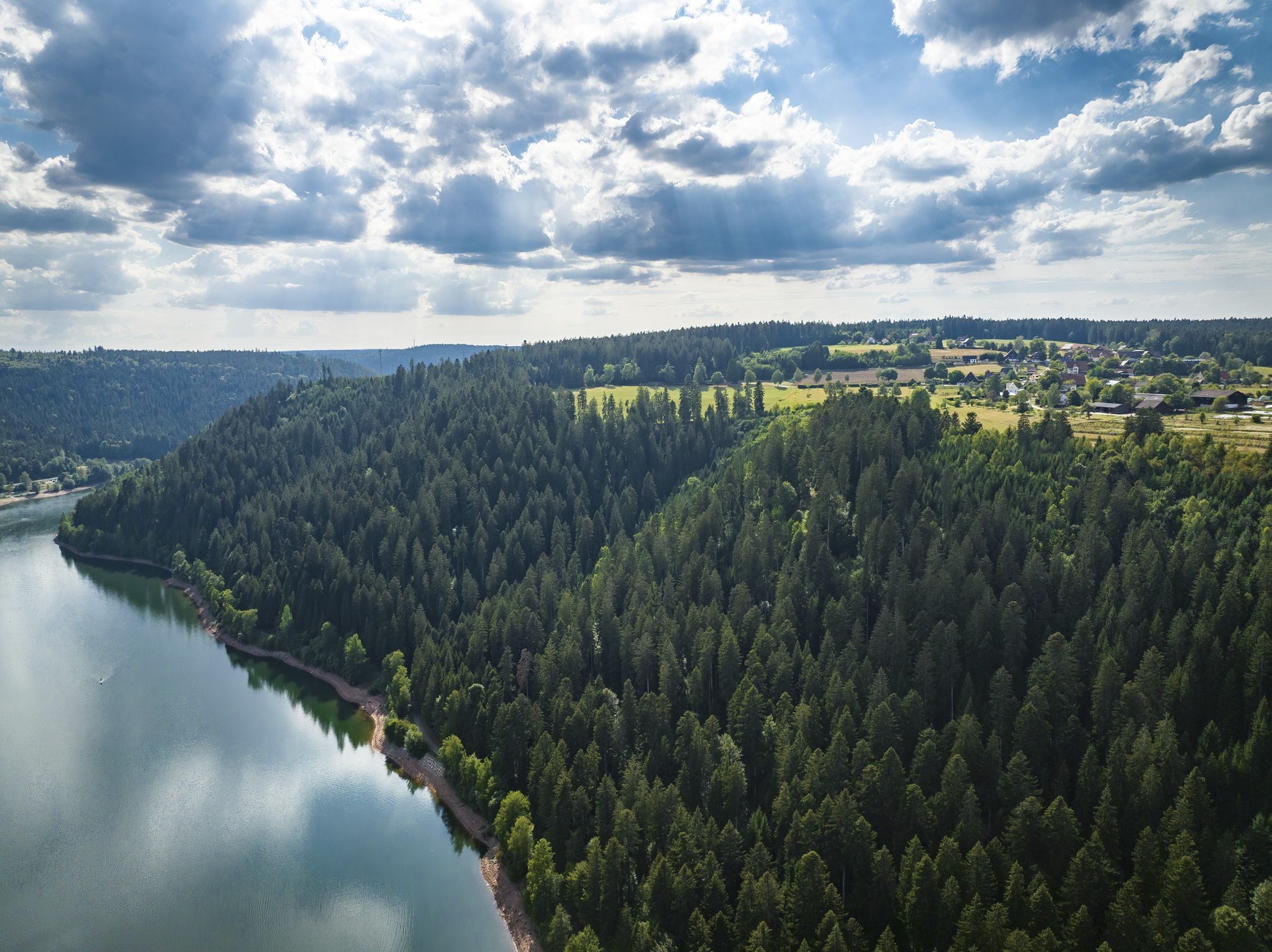
Trekking in the Black Forest 4-day tour to camps Seibelseckle, Grimbach & Schwarzenbach
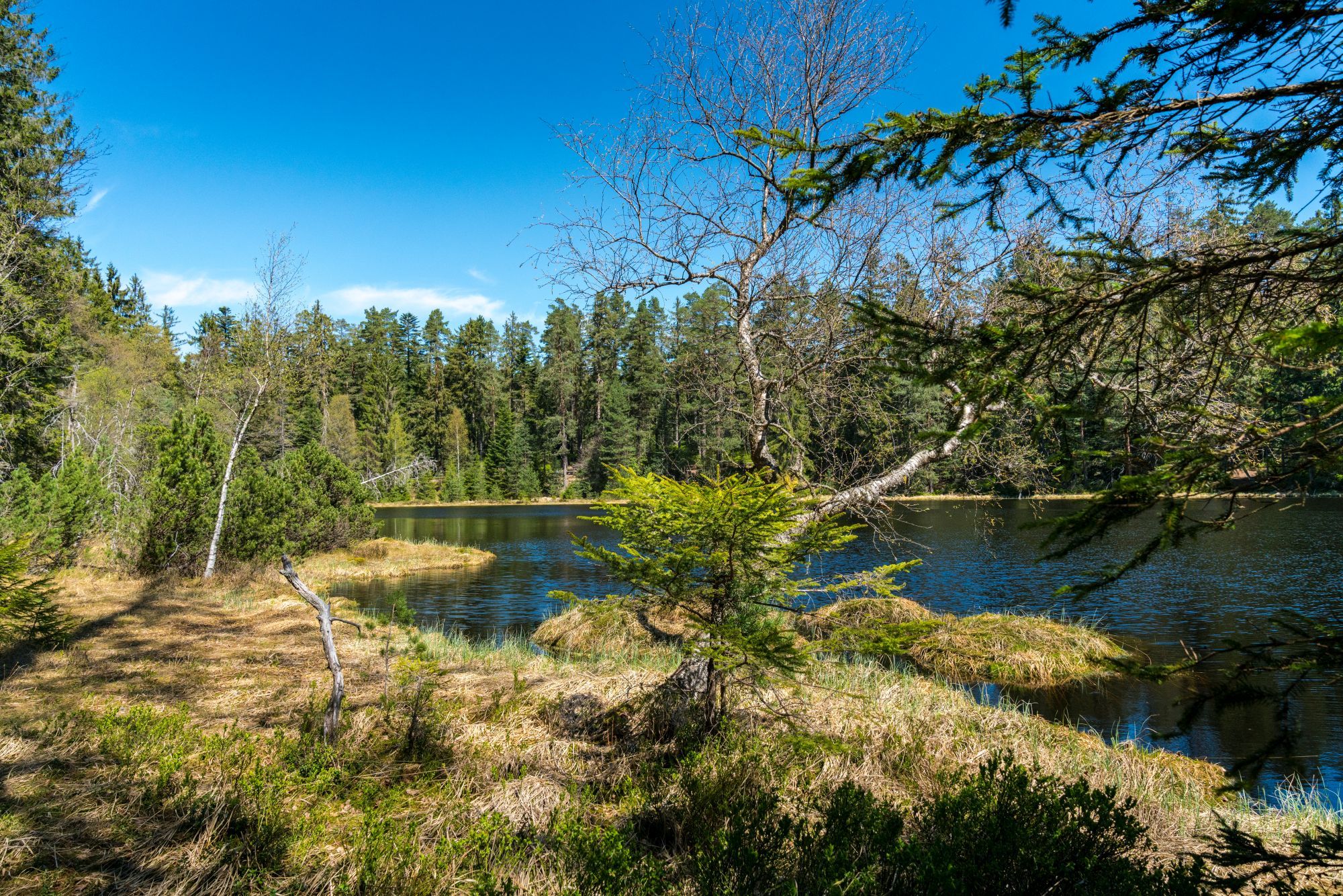
Trekking Schwarzwald 3-day tour to the Camps Grimbach and Schwarzenbach
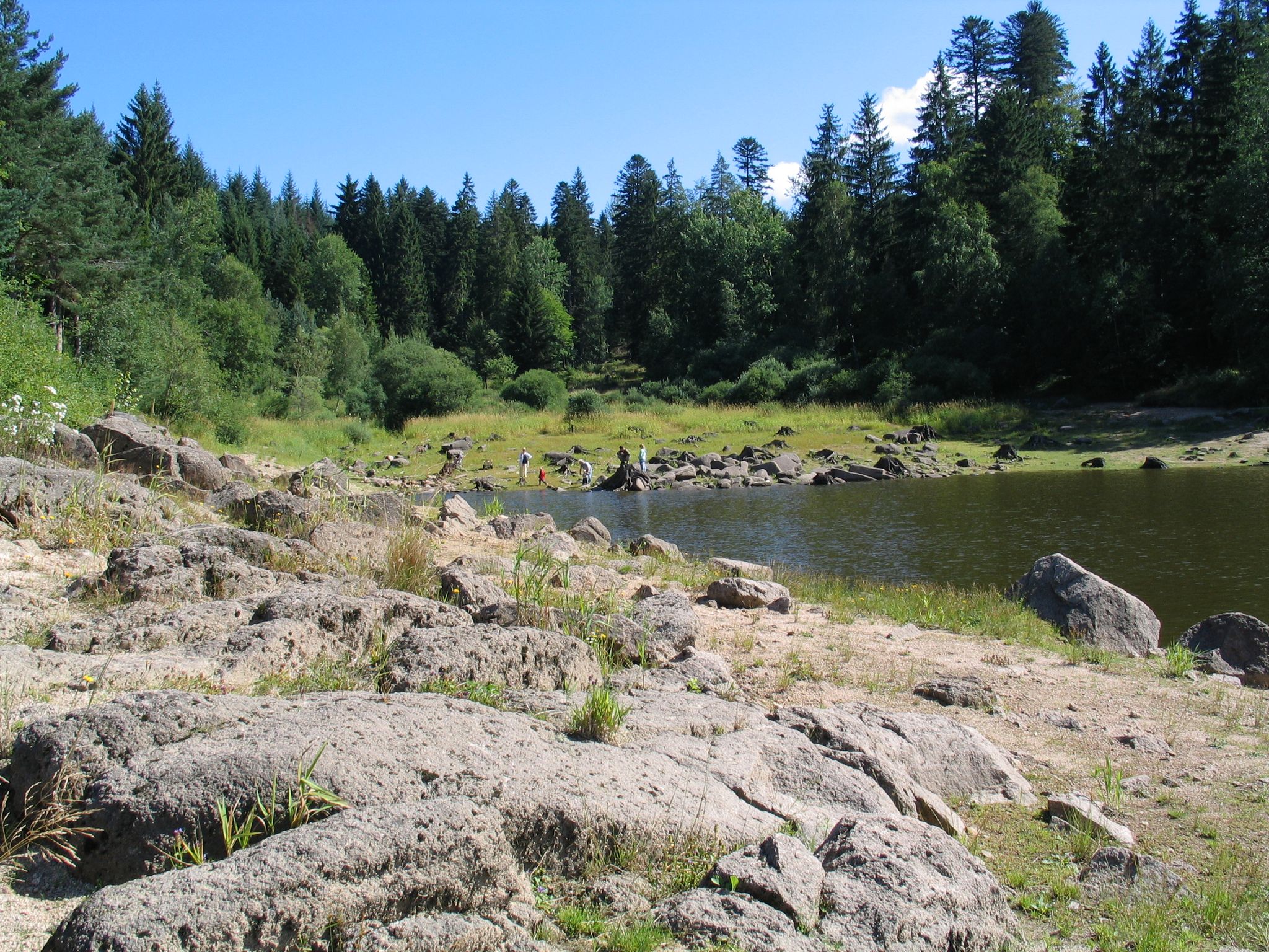
Trekking in the Black Forest - 3-day loop tour to the camps Grimbach and Schwarzenbach
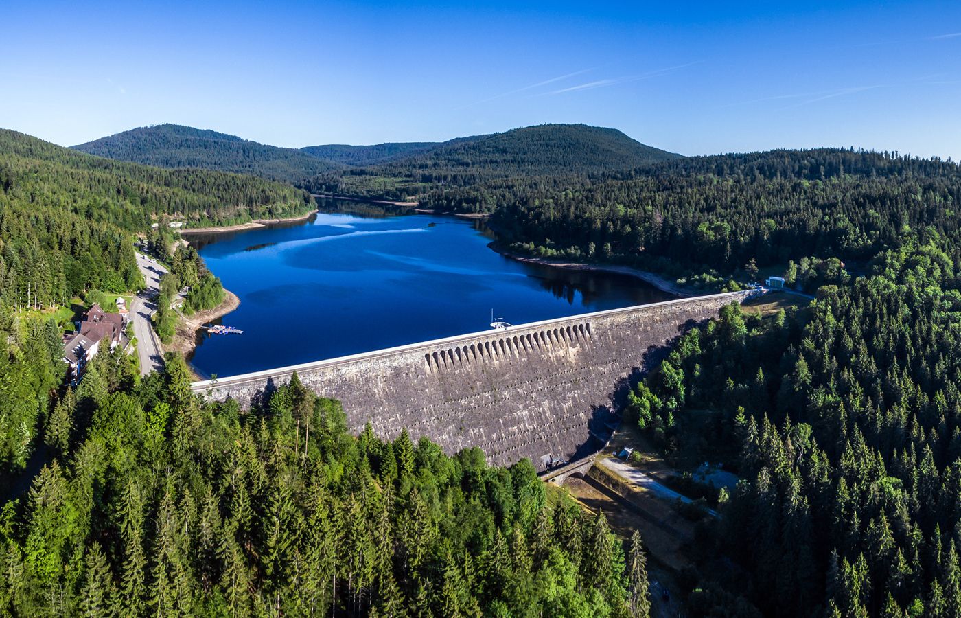
Trekking in the Black Forest, 2-day tour to Camp Schwarzenbach
Other adventures around Schwarzenbach-Talsperre


Tips from the Community

25.05.2026 currently no water is stored, only a trickle is flowing. Today 28° ☀
1
0

Beautiful view towards the dam, great place for a perfect photo.
0
0
Preferably early in the morning, no cars, no motorbikes.
0
0
Great section on a dam-wide hike.
0
0
Beautiful view, very nice and quiet.
0
0

The bench is unfortunately history… but it remains a great place to watch the sunrise or moonrise
0
0

It's drinkable water. But it comes from the stream and isn't regularly tested; therefore, it can't be called drinking water. Definitely a beautiful place and good enough to quench your thirst.
4
0

Unfortunately, the view from here is no longer there, everything is overgrown. So it makes sense to take the "path" directly along the shore to get a nice view.
1
0
Frequently Asked Questions
How many bus-accessible hiking trails are available around Schwarzenbach-Talsperre?
There are 18 bus-accessible hiking trails around Schwarzenbach-Talsperre. These routes vary in difficulty, with 5 easy, 10 moderate, and 3 difficult options.
What kind of scenery can I expect on bus station hikes in the Schwarzenbach-Talsperre region?
The region offers diverse scenery, characterized by high fir forests and gentle hills. You'll find paths winding along the expansive Schwarzenbach-Talsperre reservoir, which is the largest in the Northern and Central Black Forest, and ascending into the surrounding hills. The area is part of the Central/North Black Forest Nature Park, providing varied landscapes with water bodies and dense wooded sections.
Are there easy circular routes accessible from bus stops?
Yes, there are several easy circular routes. A popular option is the View of the Schwarzenbach Dam – Schwarzenbach Dam loop, which is 6.4 km long and offers scenic views of the reservoir. Another easy choice is the Schwarzenbach Dam – View of the Schwarzenbach Dam loop, covering 5.8 km.
What are some notable landmarks or points of interest along these bus-accessible routes?
Many routes offer views of the impressive Schwarzenbach Dam itself, a significant engineering feat you can walk across. You might also encounter the At the foot of the dam area and the Schwarzenbach Dam Educational Trail, which provides insights into its history. The Bridge Over the Schwarzenbach is another point of interest.
Are there any moderate bus-accessible hikes that lead to other lakes or viewpoints?
Yes, for a moderate challenge, consider the View of the Schwarzenbach Dam – Herrenwieser Lake loop. This 11.1 km route takes you through wooded areas and past the scenic Herrenwieser Lake. You can also find routes with excellent viewpoints like View of Schwarzenbachtalsperre.
What do other hikers say about the trails around Schwarzenbach-Talsperre?
The area is highly rated by the komoot community, with an average score of 4.6 stars from over 15,800 ratings. Reviewers often praise the picturesque setting, the well-maintained paths, and the diverse views of the reservoir and surrounding Black Forest mountains.
Are there family-friendly hiking options accessible by bus?
Many of the easy and moderate circular routes around the reservoir are suitable for families. The relatively flat paths along the dam and reservoir offer a pleasant experience for all ages, with opportunities to enjoy the natural surroundings without strenuous climbs. The educational trail near the dam can also be engaging for children.
Can I bring my dog on these bus-accessible hikes?
Yes, the trails around Schwarzenbach-Talsperre are generally dog-friendly. The varied terrain, from lakeside paths to forest trails, provides a great environment for dogs. Always ensure your dog is on a leash where required and be mindful of other hikers and wildlife.
Are there longer, more challenging bus-accessible hikes in the area?
For those seeking a longer, more challenging experience, the View of the Schwarzenbach Dam – Wegscheid Hut loop is a moderate 12.2 km route with significant elevation gain, leading you deeper into the Black Forest landscape. Another moderate option is the At the foot of the dam – Schwarzenbach Boat Rental loop, which is 10.1 km long.
What is the best time of year to hike these bus-accessible trails?
The Schwarzenbach-Talsperre region is beautiful throughout the year. Spring brings lush greenery, while summer offers pleasant temperatures for lakeside walks and forest exploration. Autumn is particularly stunning with vibrant fall foliage. Even in winter, the snow-covered landscape can be magical, though some paths might require appropriate gear.
Most popular routes around Schwarzenbach-Talsperre
Most popular attractions around Schwarzenbach-Talsperre

Get inspired with the komoot mobile app


Explore more
Browse the best Hikes in other regions.
