The best road cycling routes around Schwarzenbach-Talsperre
4.7
(83)
1,096
riders
17
rides
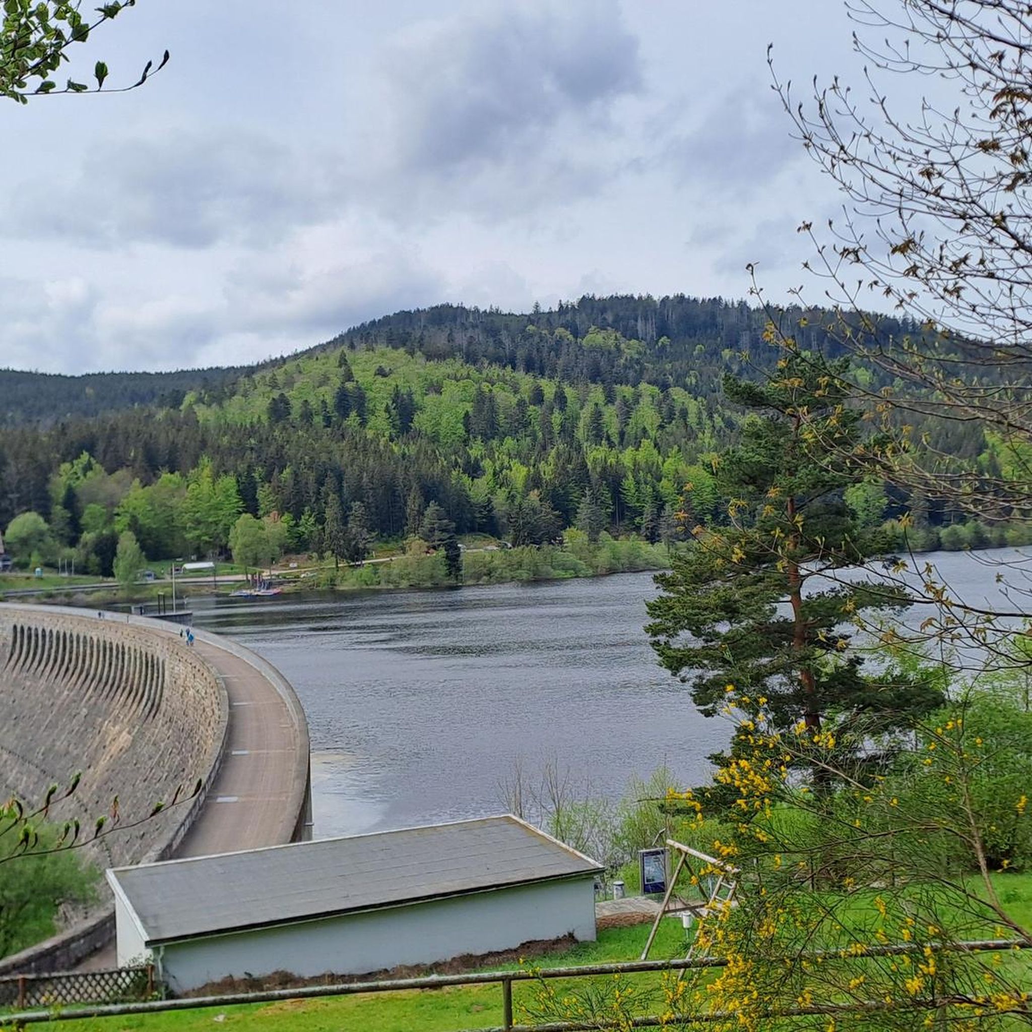
Road cycling around Schwarzenbach-Talsperre offers routes through the northern Black Forest, characterized by dense fir forests and the Murgtal valley. The region features varied terrain, including climbs into the Black Forest mountains and paths along the Schwarzenbach Reservoir. Elevations reach up to 668.5 meters, providing a mix of challenging ascents and scenic descents.
Best road cycling routes around Schwarzenbach-Talsperre
- The most popular road cycling route is Hornisgrinde Tower – View of the Rhine Plain loop from Raumünzach, a 43.4…
Last updated: July 10, 2026
5.0
(4)
38
riders
69.9km
04:03
1,630m
1,630m
Hard road ride. Very good fitness required. Mostly well-paved surfaces and easy to ride.
4.7
(3)
56
riders
41.6km
02:07
700m
700m
Moderate road ride. Good fitness required. Mostly well-paved surfaces and easy to ride.

Sign up for free
5.0
(4)
42
riders
52.8km
02:40
840m
840m
Moderate road ride. Good fitness required. Mostly well-paved surfaces and easy to ride.
5.0
(1)
15
riders
83.2km
03:51
960m
960m
Hard road ride. Very good fitness required. Mostly well-paved surfaces and easy to ride.
8
riders
34.0km
02:10
960m
960m
Hard road ride. Very good fitness required. Mostly well-paved surfaces and easy to ride.
Get access to more routes and recommendations from other explorers.
Sign up for free
Already have an account?
Our route recommendations are based on thousands of hikes, rides, and runs completed by other people on komoot.
Start today with a free account
Your next adventure awaits.
Login or Signup
Popular around Schwarzenbach-Talsperre

Coolcation in the Black Forest – hiking and cooling off in summer
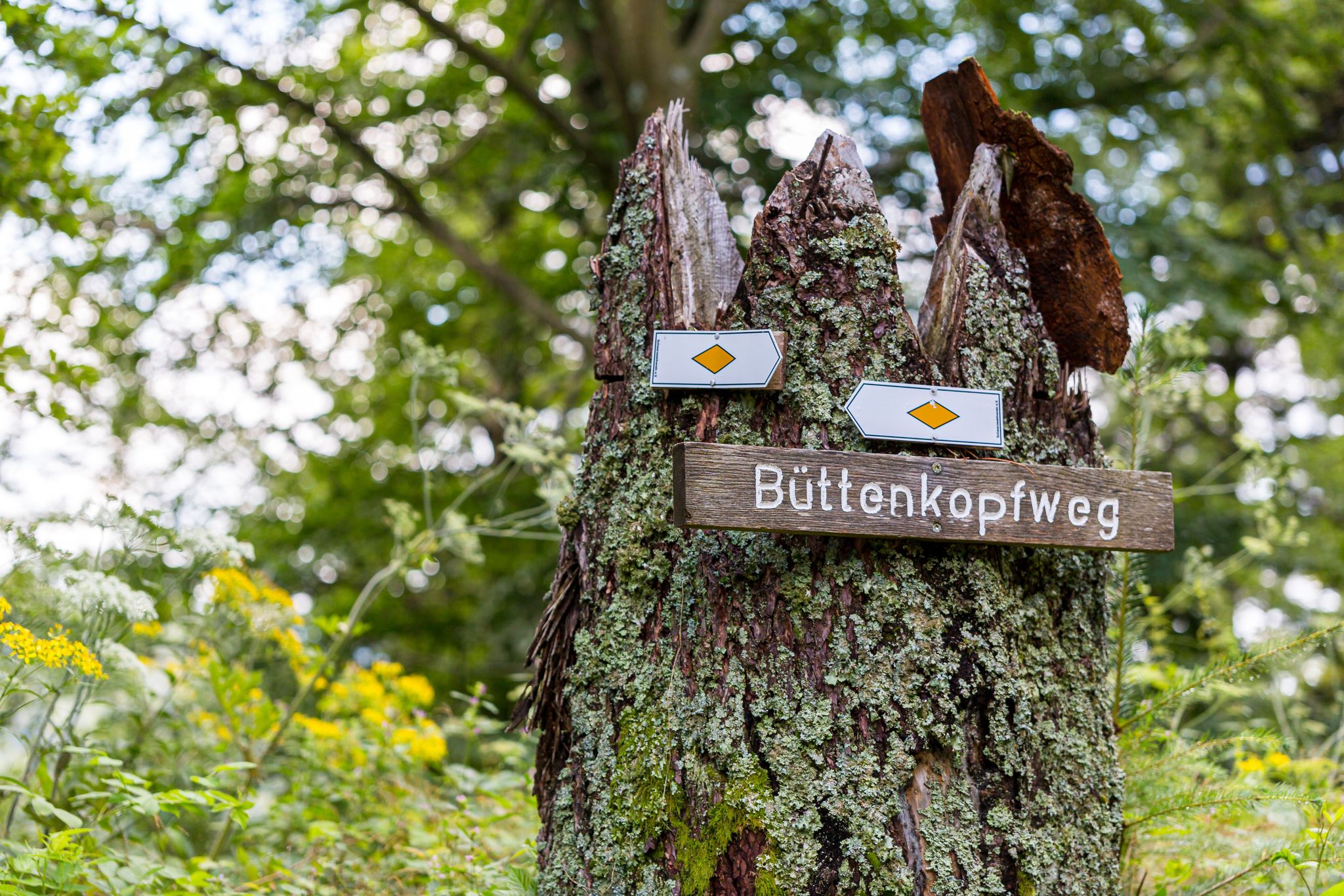
Trekking Schwarzwald 8-day tour from Forbach to Alpirsbach
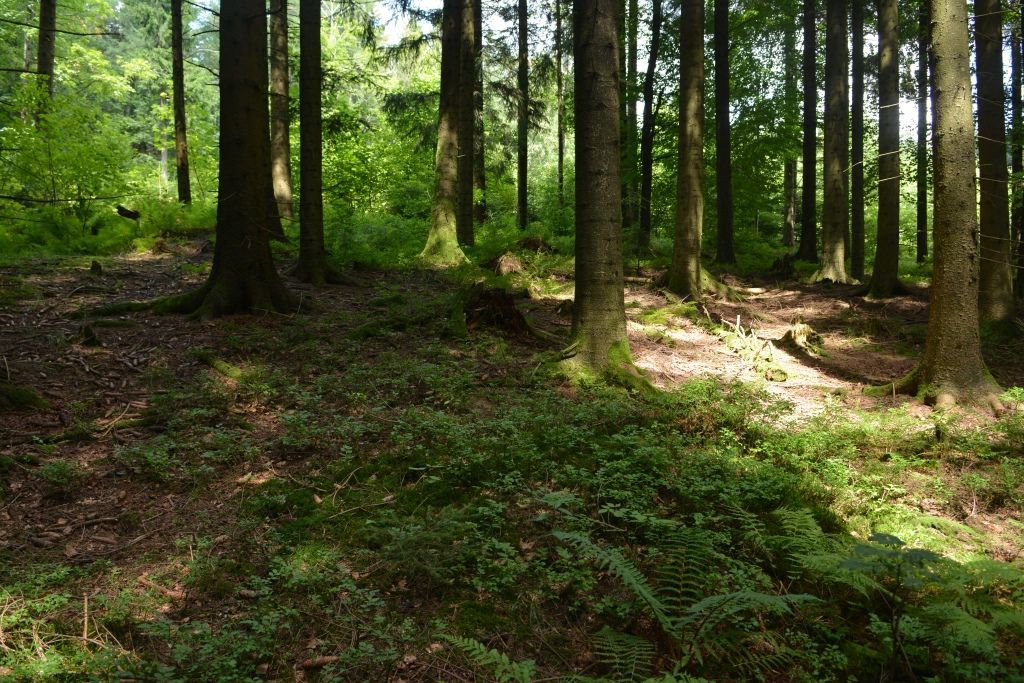
Trekking Black Forest 7-day tour from Forbach to Biberach
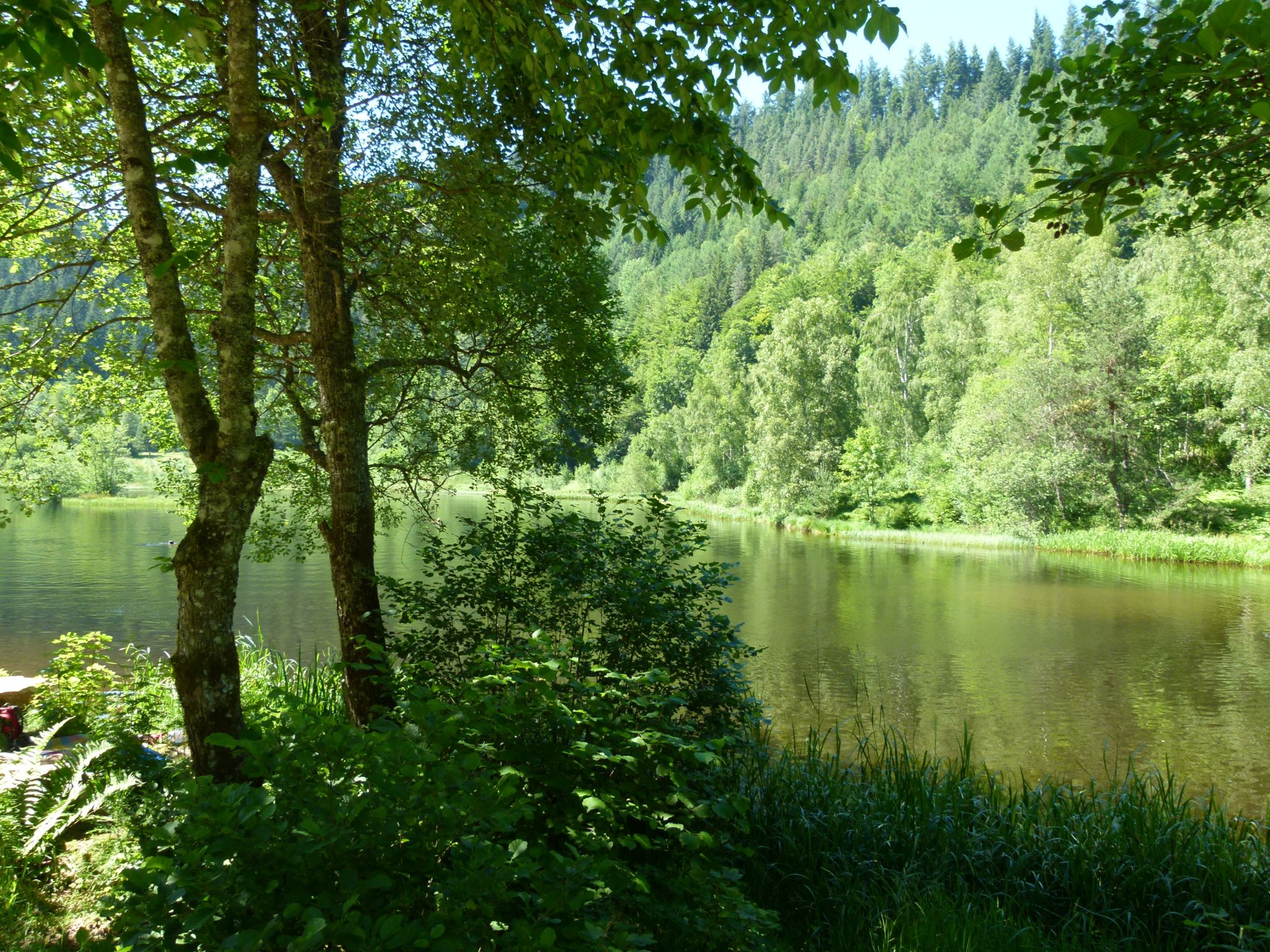
Trekking Schwarzwald 6-day tour from Forbach to Gengenbach
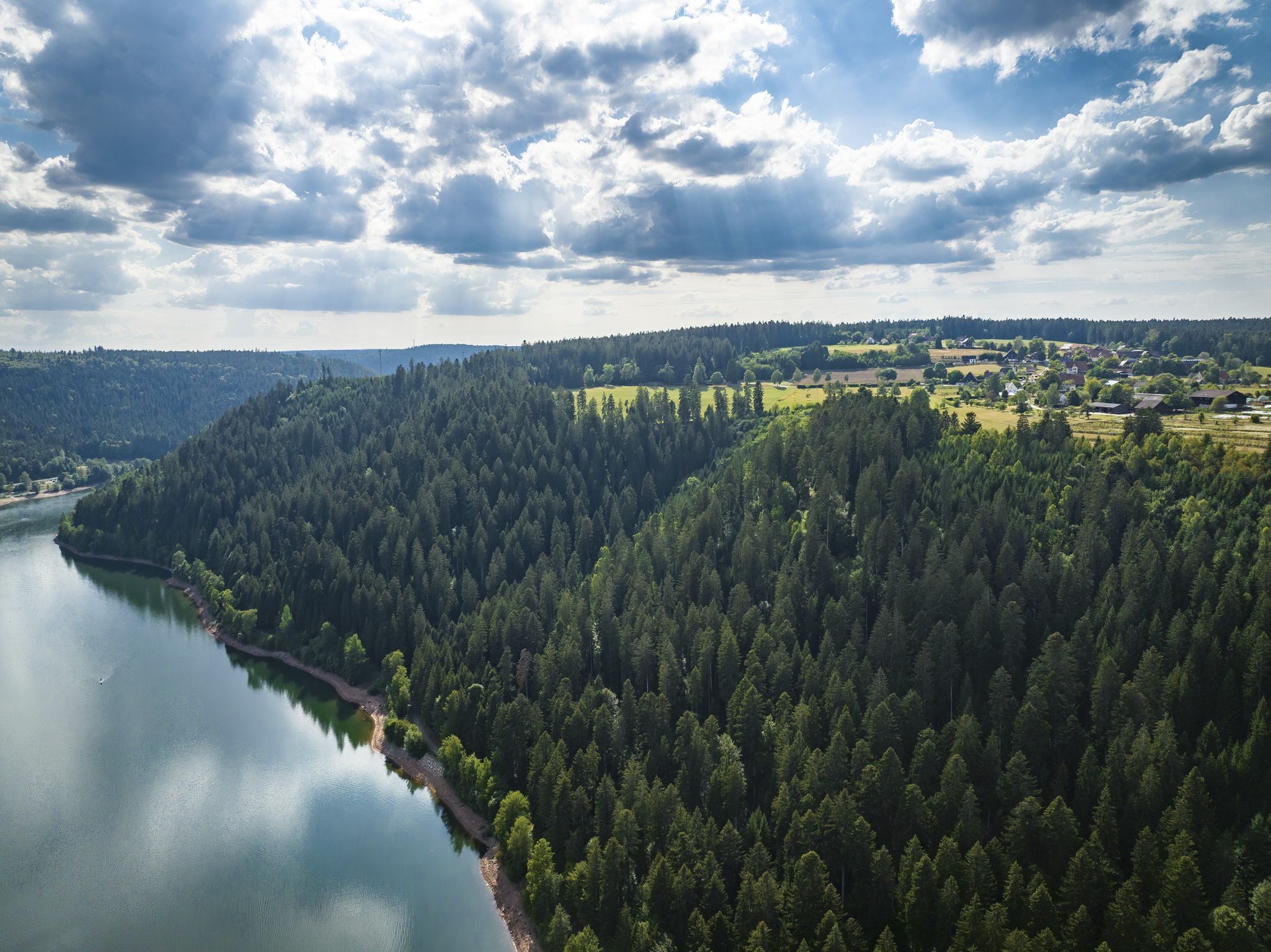
Trekking in the Black Forest 4-day tour to camps Seibelseckle, Grimbach & Schwarzenbach
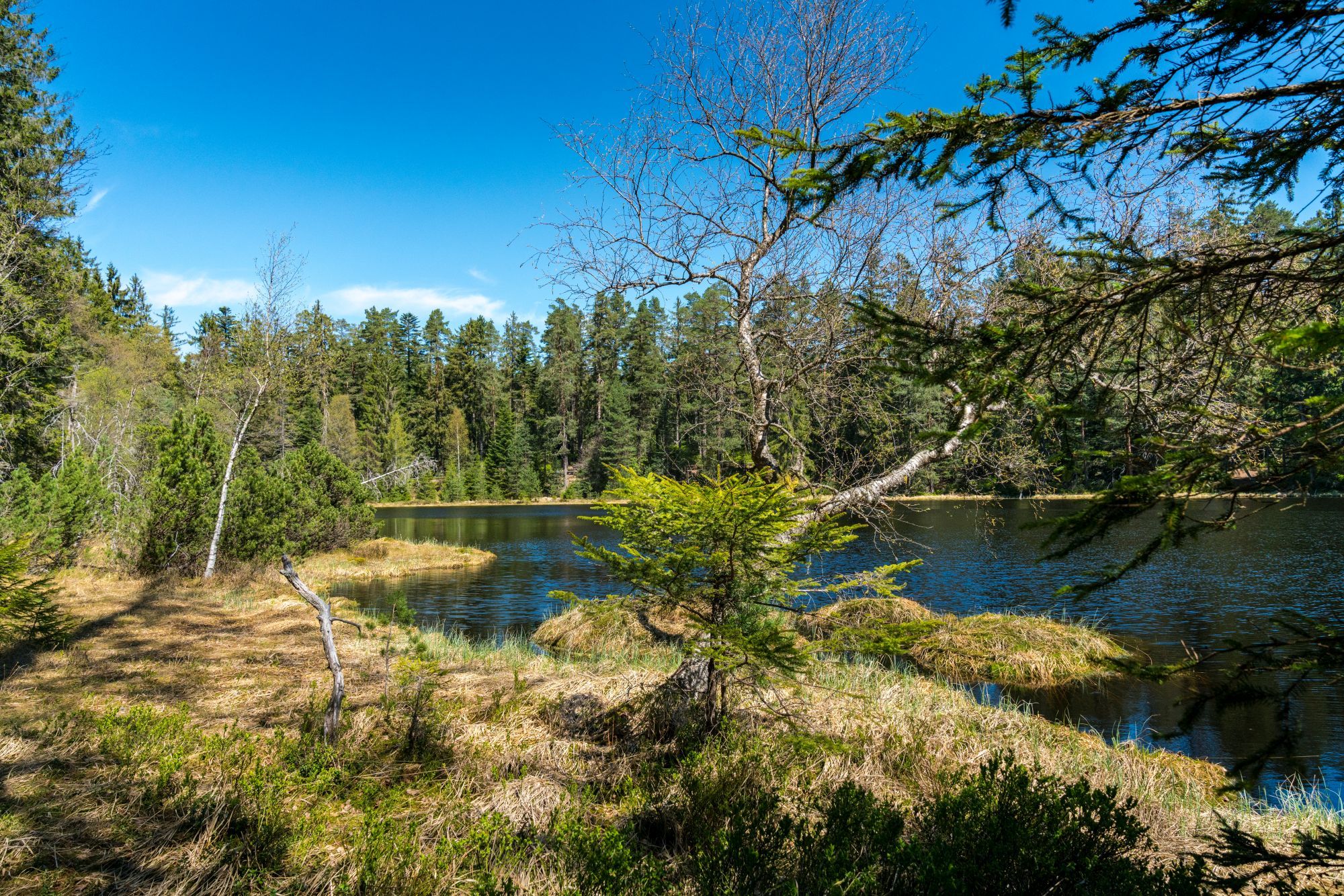
Trekking Schwarzwald 3-day tour to the Camps Grimbach and Schwarzenbach
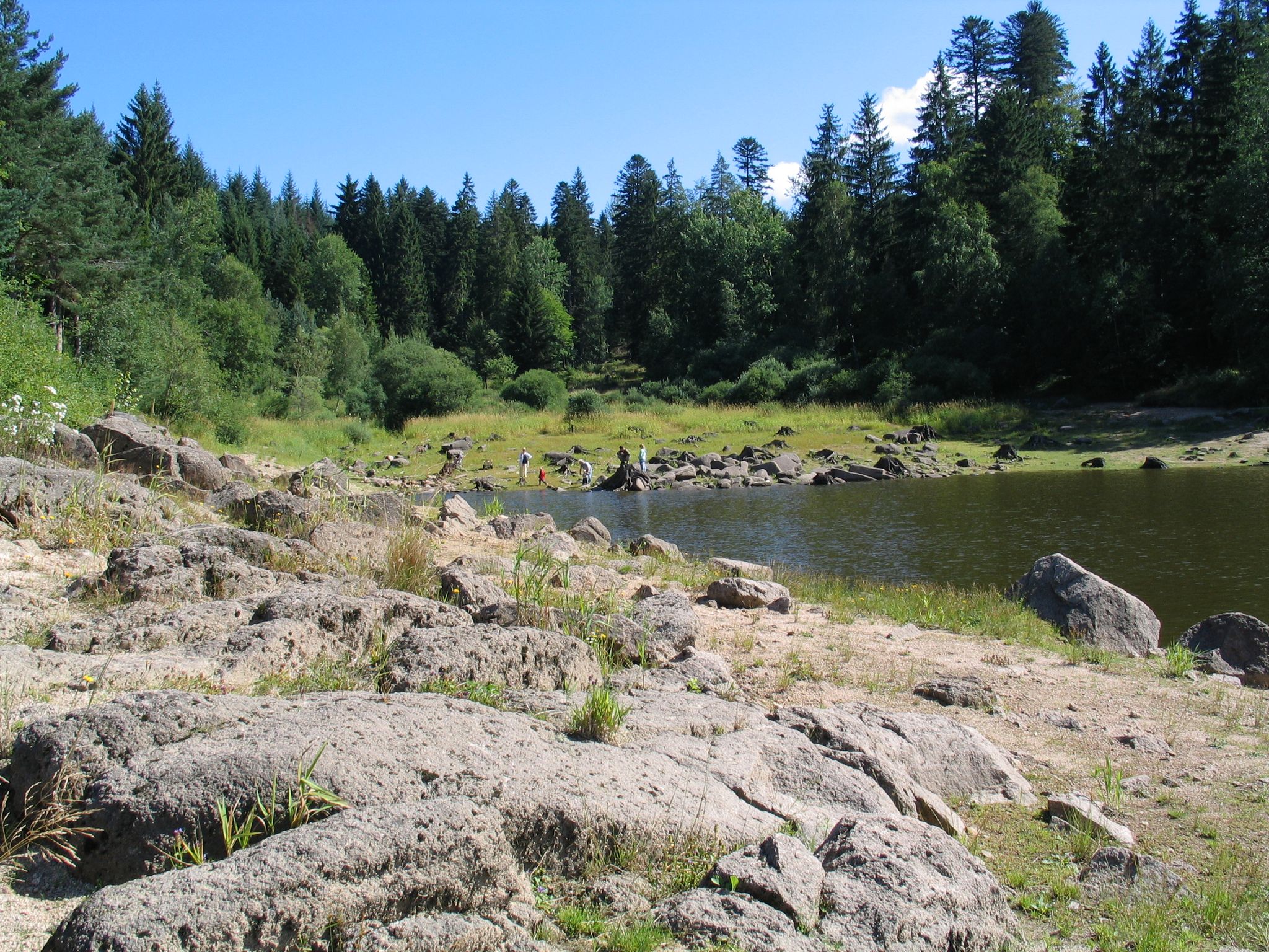
Trekking in the Black Forest - 3-day loop tour to the camps Grimbach and Schwarzenbach
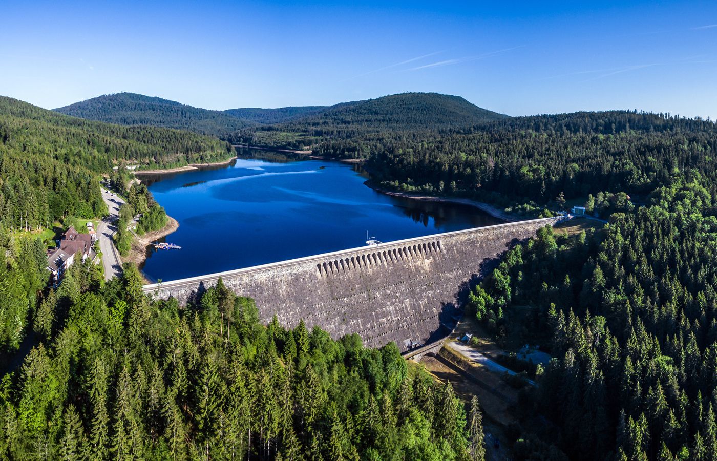
Trekking in the Black Forest, 2-day tour to Camp Schwarzenbach
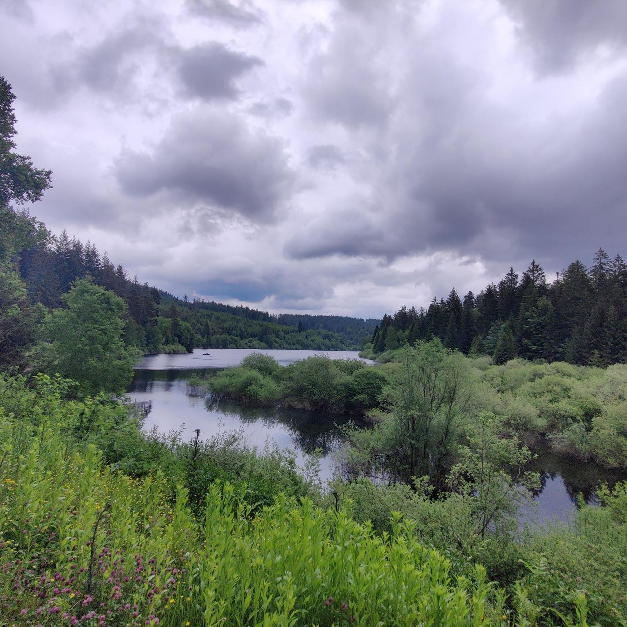
Cycling around Schwarzenbach-Talsperre
Hiking around Schwarzenbach-Talsperre
Other adventures around Schwarzenbach-Talsperre


Tips from the Community

Scenically beautiful with great views and good surface
0
0

The Dreifürstenstein (Three Princes' Stone) is a historic boundary stone in the Northern Black Forest, near the Alexanderschanze. It formerly marked the meeting point of the borders of three territories: the Duchy of Württemberg, the Margraviate of Baden, and the Prince-Bishopric of Strasbourg. Dating from the 18th century, the stone is an important testament to the territorial history of the Black Forest. Today, it is a cultural monument and a popular destination for hikers and history enthusiasts.
0
0

It could be so beautiful: good road surface, peaceful nature, a pleasant, consistent incline. Access for motor vehicles is actually only permitted with a "special permit"—but there seem to be a lot of them (it is, after all, a convenient shortcut). Even with just a handful of vehicles, it gets a bit annoying, because the road often only accommodates one modern car (not to mention the trucks that use it during the logging season), and places to pull over are scarce. This means: pull onto the verge and let them pass (if you haven't already been overtaken with only 5 cm of clearance), which, of course, disrupts the flow of traffic. A radar like the Varia is helpful; otherwise, you're constantly looking behind you, paranoid. The official speed limit here is 30 km/h (realistically more of a "recommendation"), but the cars approach much faster. Going downhill, due to the aforementioned road width, it would be quite narrow when there's oncoming traffic, and the cars would block each other. I like the route and will probably continue to drive it from time to time depending on my mood, but unfortunately I can't wholeheartedly recommend it.
0
0

Above Raumünzach, the Murg Valley Cycle Path leads between beautiful rocks, which give this section of the route a special charm.
0
0

The monastery is already inhabited and managed by a community. The monastery church and Bible garden are accessible.
0
0

Very impressive when you cycle through
0
1

Worth seeing. Always worth a bike ride.
0
0

Frequently Asked Questions
How many road cycling routes are available around Schwarzenbach-Talsperre?
The Schwarzenbach-Talsperre region offers a diverse network of nearly 20 road cycling routes. These routes cater to various skill levels, with options for easy, moderate, and difficult rides through the Black Forest mountains and along the Murgtal valley.
What kind of terrain can I expect on road cycling routes in the Schwarzenbach-Talsperre area?
Road cycling around Schwarzenbach-Talsperre features varied terrain, from challenging ascents into the Black Forest mountains to scenic descents and paths along the reservoir. You'll encounter dense fir forests, the picturesque Murgtal valley, and elevations reaching up to 668.5 meters, providing a mix of climbs and rolling sections.
Are there road cycling routes that offer panoramic views?
Yes, many routes in the region provide spectacular panoramic views. For instance, the challenging route Hornisgrinde Tower – View of the Rhine Plain loop from Raumünzach leads to significant viewpoints. The area is also known for viewpoints like "Blick ins Tal" or "Schwarzenbacher Blick," offering vistas over the water and across the Ore Mountains.
Can I find circular road cycling routes around the Schwarzenbach Dam?
Absolutely. A popular option is the moderate Schwarzenbach Dam – Schwarzenbach Dam loop from Gausbach, which circles the reservoir. This route offers continuous views of the water and the surrounding forests, making it a scenic and enjoyable ride.
What are some interesting landmarks or attractions I can see while road cycling here?
The region is rich in natural beauty and points of interest. You can cycle past the impressive Schwarzenbach Dam itself, which is a major attraction. Other highlights include various viewpoints offering stunning vistas of the reservoir, such as View of Schwarzenbachtalsperre and View of the Schwarzenbach Reservoir from Jägerloch Hut.
Are there any particularly challenging road cycling routes for experienced riders?
Yes, the Schwarzenbach-Talsperre area offers several difficult routes for experienced road cyclists. An example is the Hornisgrinde Tower – View of the Rhine Plain loop from Raumünzach, which covers 69.9 km with significant elevation gain. Another challenging option is the Murgtal Rock Tunnel – Murgtal Cycle Path loop from Forbach (Schwarzwald), spanning 83 km.
Are there easier road cycling options for beginners or those looking for a more relaxed ride?
While many routes involve climbs, the region does offer easier options. The well-marked cycling trails around Schwarzenbach-Talsperre include routes of varying difficulty, ensuring there's something for every road cyclist, including those seeking a more relaxed pace. Look for routes categorized as 'easy' in the guide.
What do other cyclists say about the road cycling routes around Schwarzenbach-Talsperre?
The road cycling routes in Schwarzenbach-Talsperre are highly regarded by the komoot community, with an average rating of 4.7 stars from nearly 100 reviews. Over 1,300 road cyclists have explored this varied terrain, often praising the breathtaking views, diverse landscapes, and well-maintained roads.
What is the best time of year for road cycling around Schwarzenbach-Talsperre?
The region is generally best for road cycling from spring through autumn. During these seasons, the weather is more favorable, and the natural beauty of the Black Forest and Murgtal valley is at its peak. Winter cycling might be possible but can be affected by snow and ice, especially at higher elevations.
Is it possible to reach the Schwarzenbach-Talsperre area by public transport with a bike?
Public transport options to the Schwarzenbach-Talsperre area exist, but carrying bikes on trains or buses can vary. It's advisable to check the specific policies of local public transport providers regarding bicycle transport before planning your trip, especially during peak times.
Where can I find parking for road cycling near Schwarzenbach-Talsperre?
Parking facilities are available in towns and villages surrounding the Schwarzenbach-Talsperre, such as Forbach or Gausbach, which serve as common starting points for many routes. You can often find designated parking areas near the dam or trailheads, though availability might vary during peak season.
Are there accommodations or cafes suitable for cyclists near Schwarzenbach-Talsperre?
The Schwarzenbach-Talsperre area, being a popular outdoor destination, offers various accommodations and cafes in nearby towns and villages. You'll find options ranging from guesthouses to hotels, as well as cafes and restaurants where you can refuel after your ride. These establishments are generally cyclist-friendly.
Most popular routes around Schwarzenbach-Talsperre
Most popular attractions around Schwarzenbach-Talsperre

Get inspired with the komoot mobile app


Explore more
Browse the best Road cycling routes in other regions.
