The best hikes from bus stations around Rur Dam
4.6
(56853)
203,935
hikers
990
hikes
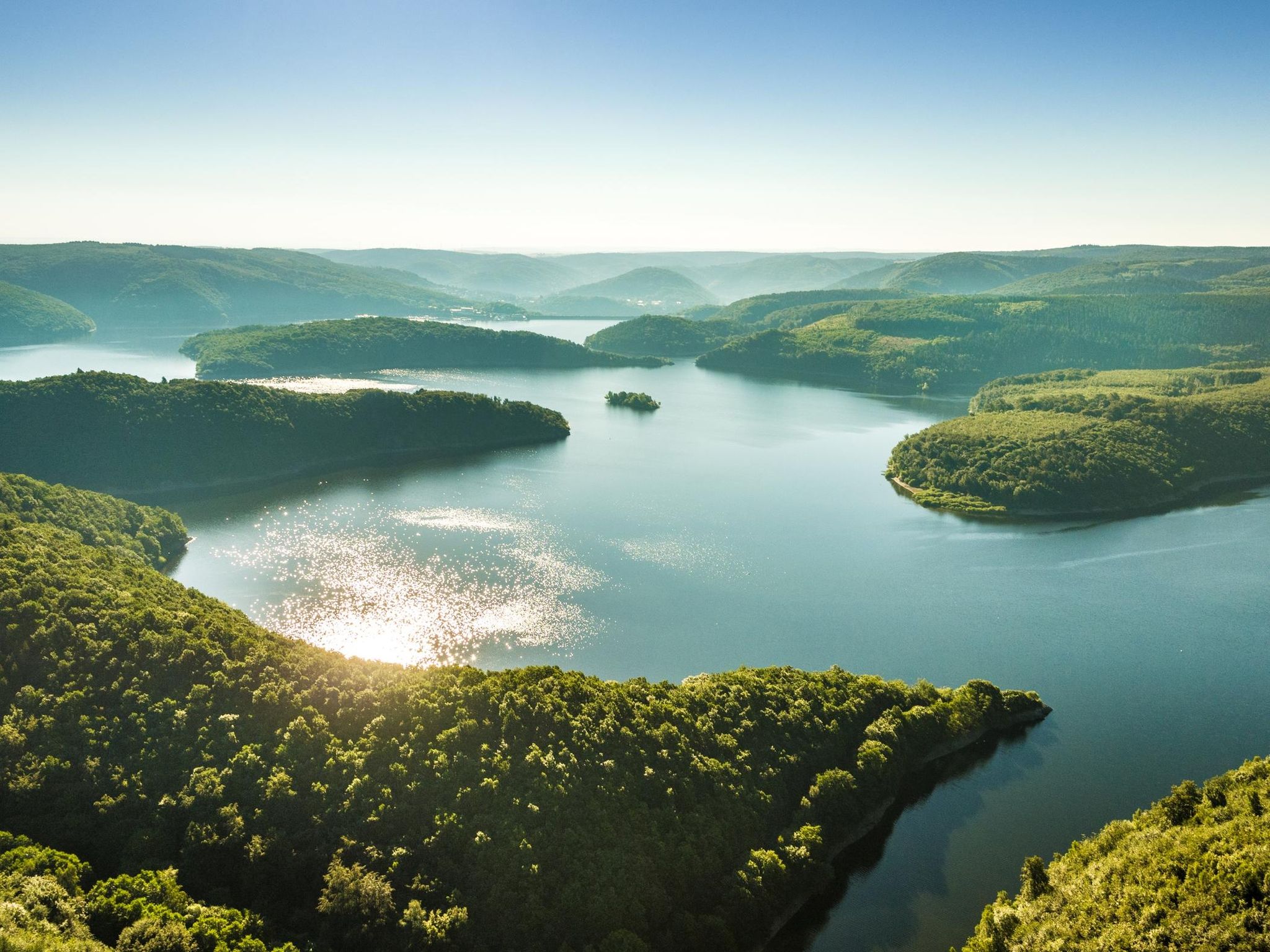
Bus station hiking trails around Rur Dam are situated in the Eifel region of North Rhine-Westphalia, Germany, characterized by the expansive Rursee reservoir and dense forests of the Eifel National Park. The landscape features winding waterways, forested hills, and the unique Upper Lake, known for its deep green woodlands and mirror-like surface. Hikers can also encounter red sandstone rock formations near Nideggen and the significant Rur Dam structure. The area offers a diverse environment for outdoor exploration.
Best bus station…
Last updated: June 29, 2026
4.8
(566)
2,071
hikers
15.4km
04:24
330m
330m
Moderate hike. Good fitness required. Easily-accessible paths. Suitable for all skill levels.
4.7
(378)
1,219
hikers
Hard hike. Very good fitness required. Mostly accessible paths. Sure-footedness required.

Sign up for free
4.7
(380)
1,197
hikers
24.7km
06:46
380m
380m
Hard hike. Very good fitness required. Mostly accessible paths. Sure-footedness required.
4.7
(1459)
4,854
hikers
7.90km
02:12
140m
140m
Moderate hike. Good fitness required. Easily-accessible paths. Suitable for all skill levels.
4.4
(137)
574
hikers
4.82km
01:23
110m
110m
Easy hike. Great for any fitness level. Easily-accessible paths. Suitable for all skill levels.
Get access to more routes and recommendations from other explorers.
Sign up for free
Already have an account?
Our route recommendations are based on thousands of hikes, rides, and runs completed by other people on komoot.
Start today with a free account
Your next adventure awaits.
Login or Signup
Popular around Rur Dam
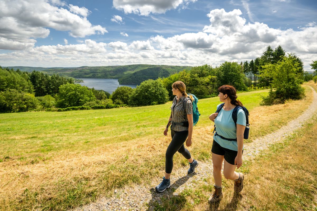
Shaped by rock and water – hikes in the Rureifel region
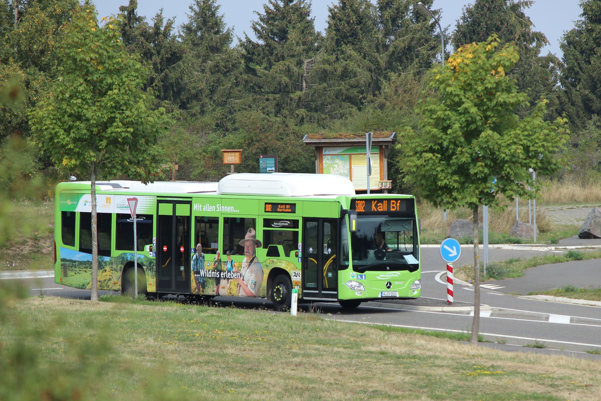
Next stop: Wilderness! – Germany’s Eifel National Park by public transport
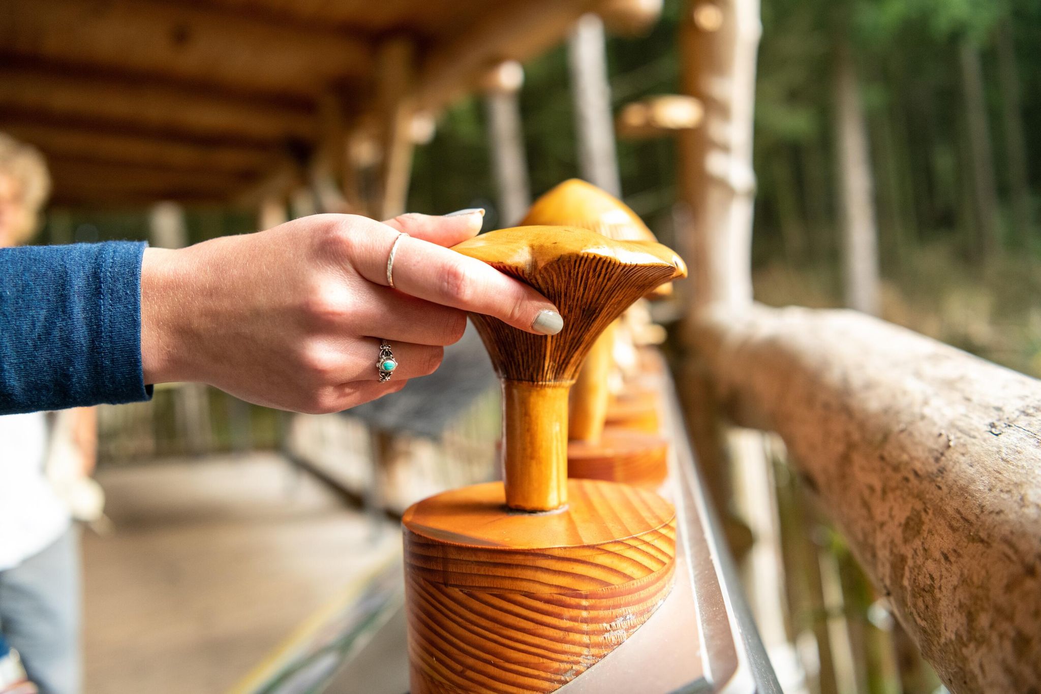
Accessible routes in Germany’s Eifel National Park
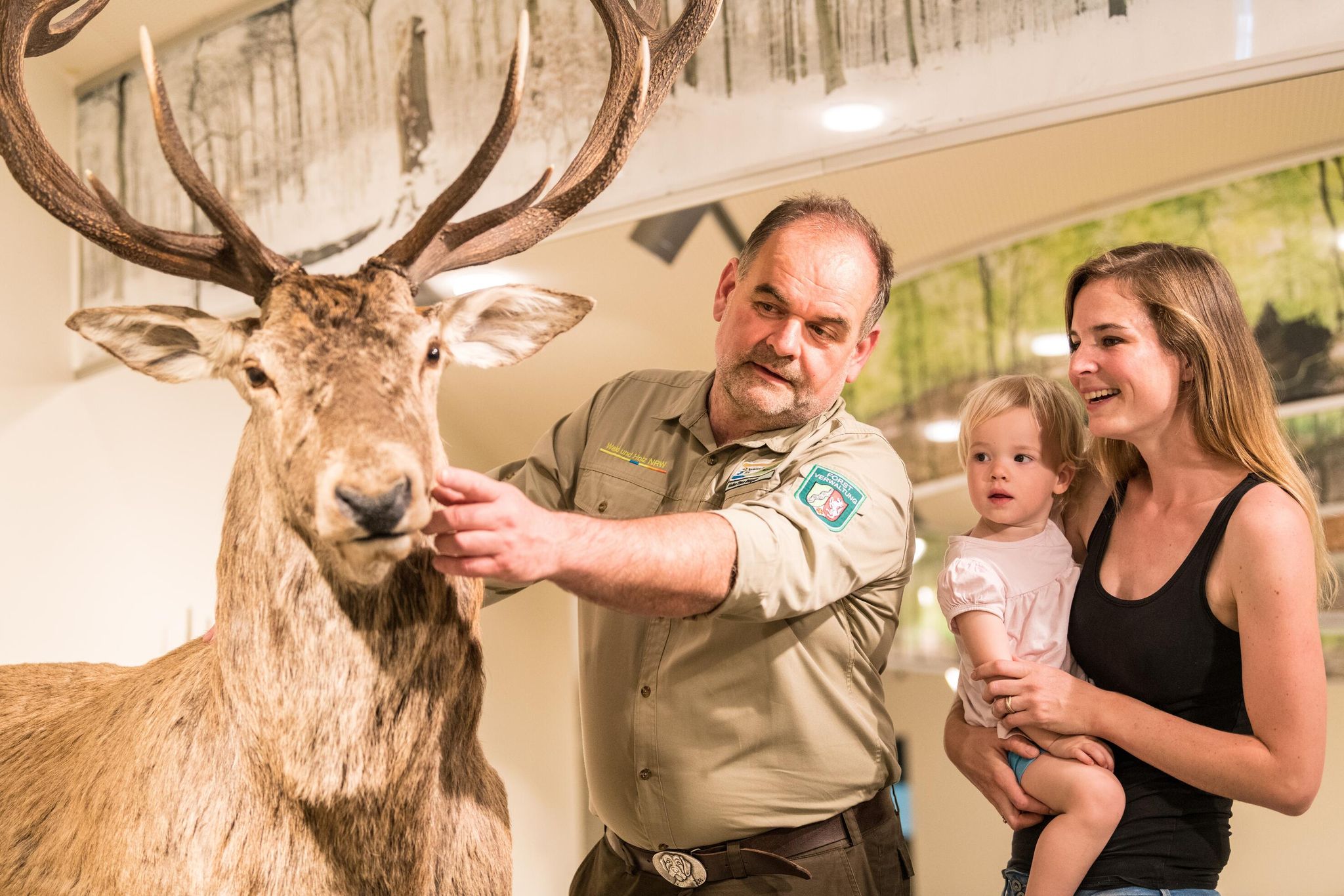
Eifel National Park information centres and facilities
Themed tours around the Eifel National Park
Gravel at its finest – rides around Aachen
Colored leaves, mud and your bike in NRW
Other adventures around Rur Dam


Tips from the Community

Hi 👋😊 This highlight is located in the Eifel National Park. To protect sensitive species, there are special rules here: Stay on official paths, keep dogs on a leash, take your trash back with you, and cycle/MTB only on designated paths. Smoking and fires are taboo – wildfire risk🔥! Thanks for your understanding! 💚 Further information can be found at www.nationalpark-eifel.de. We wish you a great time in the emerging wilderness!
1
0

Very beautifully constructed wooden boardwalks along the Rur
0
0

During the week it's not so crowded...
0
1

take the route on the other side of the lake, much more scenic. Can be bumpy though. Not recommended when there is ice and snow
0
0
great view on one of the most beautiful water bodies in the region
0
0

The wooden plank walkway is beautifully designed for a walk.
1
0

Walking on water - there's something to it
1
0

A beautifully landscaped circular path around the lake. Alternatively, you can take the small train back on the other side. Hiking is also possible without any problems.
1
0
Frequently Asked Questions
How many bus-accessible hiking trails are available around Rur Dam?
There are over 980 hiking trails around Rur Dam that are accessible by bus, offering a wide range of options for all skill levels. This includes 477 easy routes, 452 moderate routes, and 54 difficult routes.
What kind of landscapes can I expect on bus-accessible hikes around Rur Dam?
Hikes accessible by bus around Rur Dam offer diverse landscapes, primarily characterized by the expansive Rursee reservoir with its fjord-like bays and tranquil shores. You'll find dense forests, wooded heights offering panoramic views over interconnected lakes, and even unique red sandstone rock formations near Nideggen. The region is largely within the Eifel National Park, ensuring a rich natural environment.
Are there family-friendly hiking options accessible by bus?
Yes, many of the bus-accessible trails around Rur Dam are suitable for families. With 477 easy routes available, you can find paths that are less strenuous and offer engaging scenery for all ages. Look for routes that combine sections along the reservoir with excursions into adjacent forests for a varied experience.
Can I bring my dog on these bus-accessible hiking trails?
Generally, dogs are welcome on hiking trails around Rur Dam. However, it's always advisable to keep them on a leash, especially within the Eifel National Park and near wildlife. Check specific route details for any restrictions, and ensure your dog is comfortable with public transport if you plan to use buses.
What are some notable viewpoints or attractions I can see on bus-accessible hikes?
Many bus-accessible routes offer stunning views and pass by significant attractions. You can see the impressive Rur Dam (Schwammenauel Reservoir) itself, enjoy the View of the Rursee at Schwammenauel, or visit the Paulushof Dam. The area also features the 'Amazon of the Eifel' (Upper Lake) with its deep green woodlands and mirror-like surface.
Are there circular hiking routes that start and end near bus stops?
Yes, the Rur Dam area is well-suited for circular hikes, many of which are accessible from bus stops. For example, the "View of the Rursee – Rursee and Rurberg loop from Rurberg" is a moderate 15.3 km circular route that offers continuous lake vistas and can be accessed via public transport.
What is the typical terrain and elevation gain on these trails?
The terrain varies from gentle lakeside paths to more challenging ascents through wooded hills. You can expect a mix of paved and unpaved trails. For instance, the "View of the Rursee – View of the Rur Reservoir loop from Ostufer des Obersees mit Felshängen" is a difficult 25.3 km route with an elevation gain of over 380 meters, while the "Heimbach Reservoir – Heimbach Dam loop from Rur Dam" is an easy 4.8 km route with about 108 meters of elevation gain.
What do other hikers say about the bus-accessible trails around Rur Dam?
The hiking trails around Rur Dam are highly regarded by the komoot community, with an average rating of 4.5 out of 5 stars from over 2,700 reviews. Hikers frequently praise the stunning lake views, the tranquility of the Eifel National Park, and the well-maintained paths that make for an enjoyable experience.
Are there any easy, shorter routes accessible by bus for beginners?
Absolutely. For beginners or those looking for a shorter, easier walk, the "Heimbach Reservoir – Heimbach Dam loop from Rur Dam" is an excellent choice. This easy 4.8 km route offers pleasant scenery with a manageable elevation gain, perfect for a relaxed outing.
When is the best time of year to hike around Rur Dam using public transport?
The Rur Dam region is beautiful year-round. Spring brings blooming flora, summer offers warm weather for lakeside activities, and autumn showcases vibrant fall foliage. Even winter can be picturesque, though some paths might be icy. Public transport schedules may vary seasonally, so it's always best to check current timetables before your trip.
Can I find waterfalls or unique natural formations on these trails?
While large waterfalls are not a primary feature, you might encounter smaller cascades, such as the Obersee Dam and Waterfall. The region is also known for its unique red sandstone rock formations near Nideggen and the striking 'Amazon of the Eifel' (Upper Lake) with its steep forested slopes and deep green woodlands.
Most popular routes around Rur Dam
Most popular attractions around Rur Dam

Get inspired with the komoot mobile app


Explore more
Browse the best Hikes in other regions.
