The best mountain hikes around Rur Dam
4.2
(16)
26
hikers
5
hikes
Mountaineering routes around Rur Dam are situated within the scenic Eifel region, characterized by forested hills and the expansive Rur Reservoir. The landscape features winding lake contours, steep slopes, and tranquil coves, offering a diverse terrain for challenging hikes. While traditional technical mountaineering is not prevalent, the area provides strenuous experiences akin to alpine trekking with significant elevation changes. The Eifel National Park, adjacent to the dam, contributes to a varied environment shaped by rock and water.
Best mountaineering routes…
Last updated: June 24, 2026
3.0
(1)
2
hikers
4.16km
01:13
110m
110m
Easy mountaineering route. Great for any fitness level. Easily-accessible paths. Suitable for all skill levels.
1
hikers
Moderate mountaineering route. Good fitness required. Easily-accessible paths. Suitable for all skill levels.

Sign up for free
1
hikers
Moderate mountaineering route. Good fitness required. Easily-accessible paths. Suitable for all skill levels.
4.7
(14)
18
hikers
19.8km
05:58
610m
610m
Hard mountaineering route. Very good fitness required. Easily-accessible paths. Suitable for all skill levels.
5.0
(1)
4
hikers
8.25km
02:27
230m
230m
Moderate mountaineering route. Good fitness required. Mostly accessible paths. Sure-footedness required.
Our route recommendations are based on thousands of hikes, rides, and runs completed by other people on komoot.
Start today with a free account
Your next adventure awaits.
Login or Signup
Popular around Rur Dam
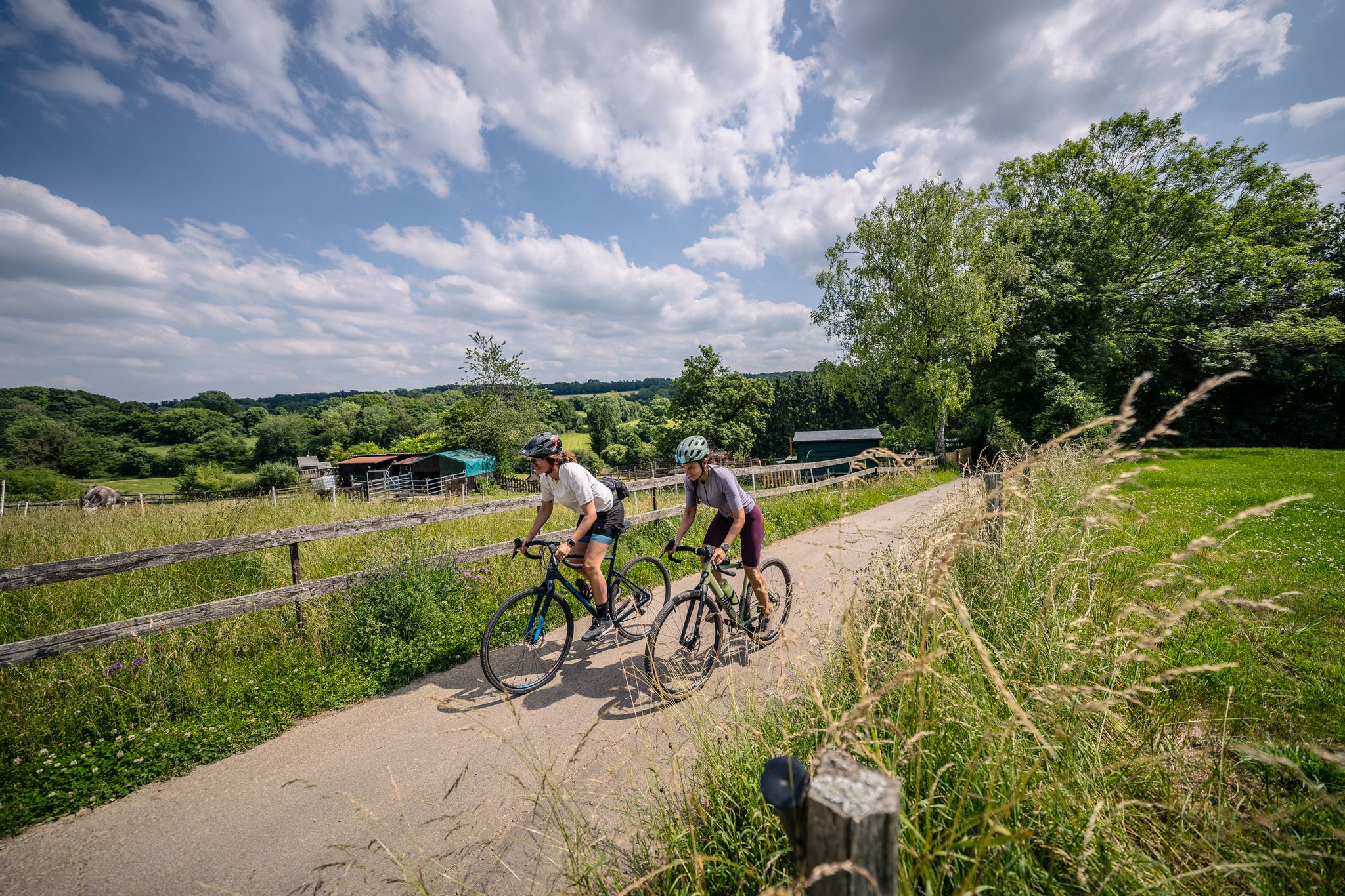
Gravel at its finest – rides around Aachen
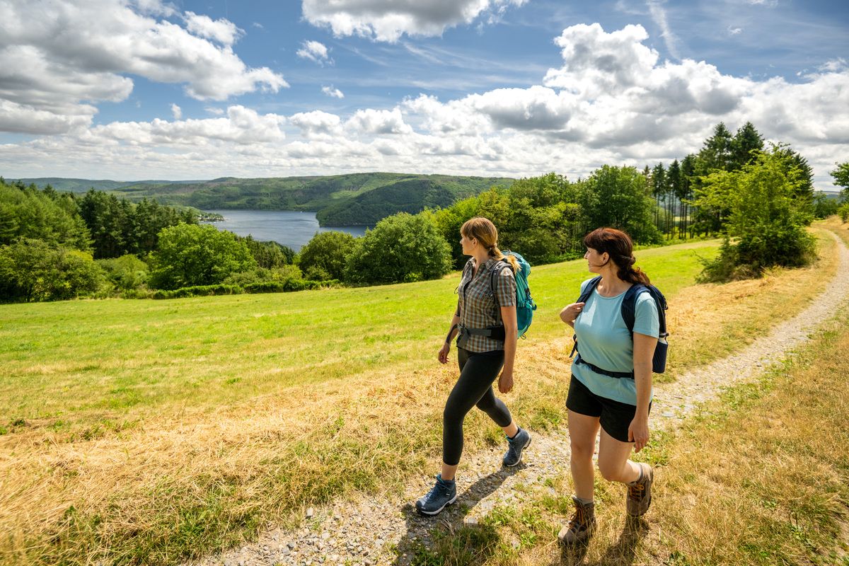
Shaped by rock and water – hikes in the Rureifel region
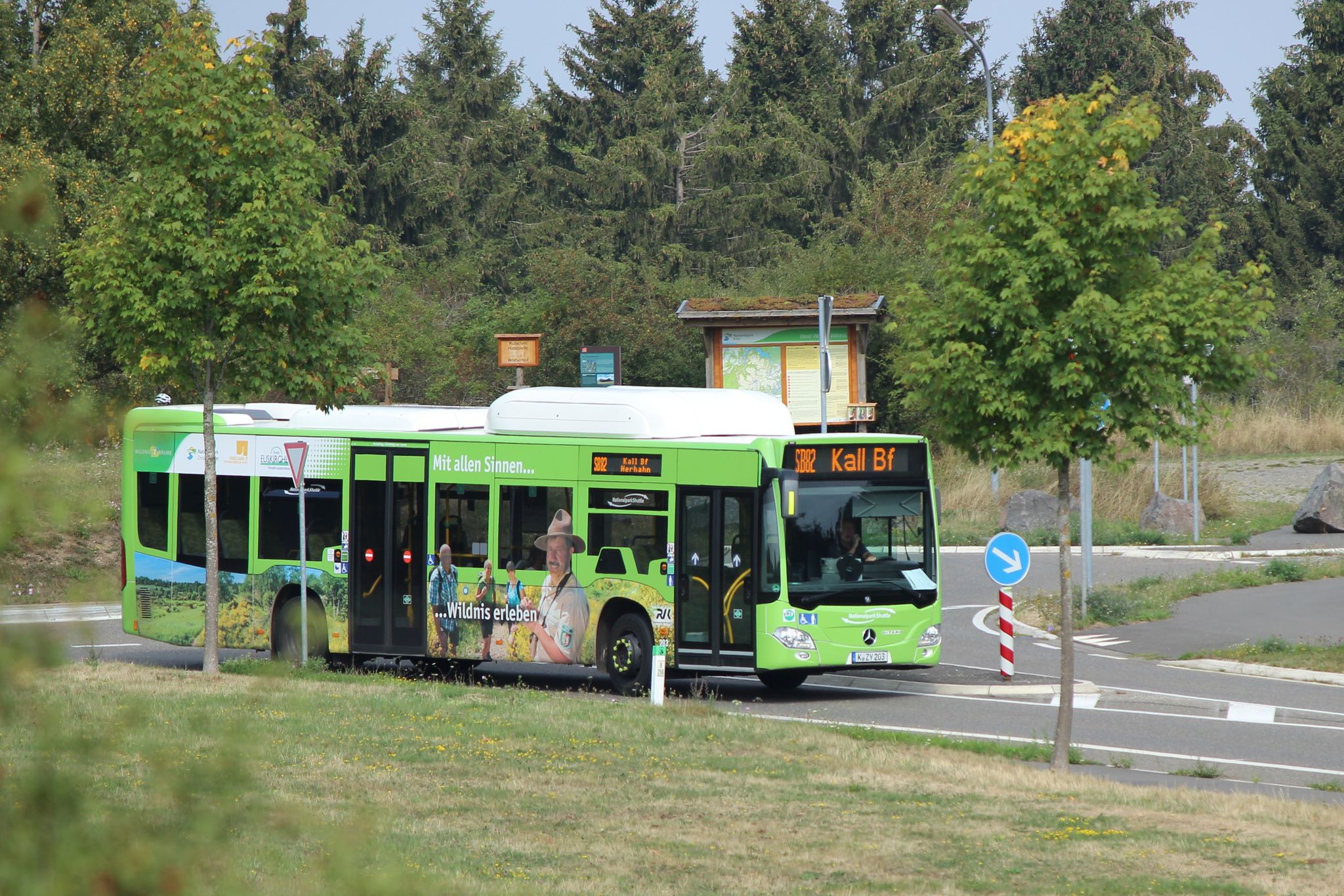
Next stop: Wilderness! – Germany’s Eifel National Park by public transport
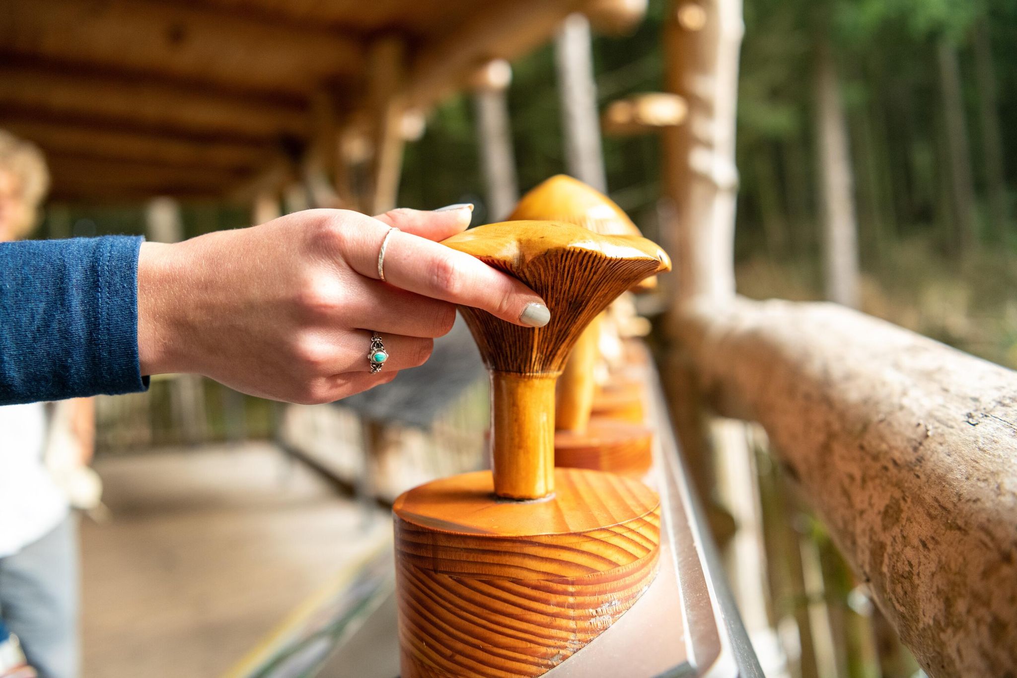
Accessible routes in Germany’s Eifel National Park
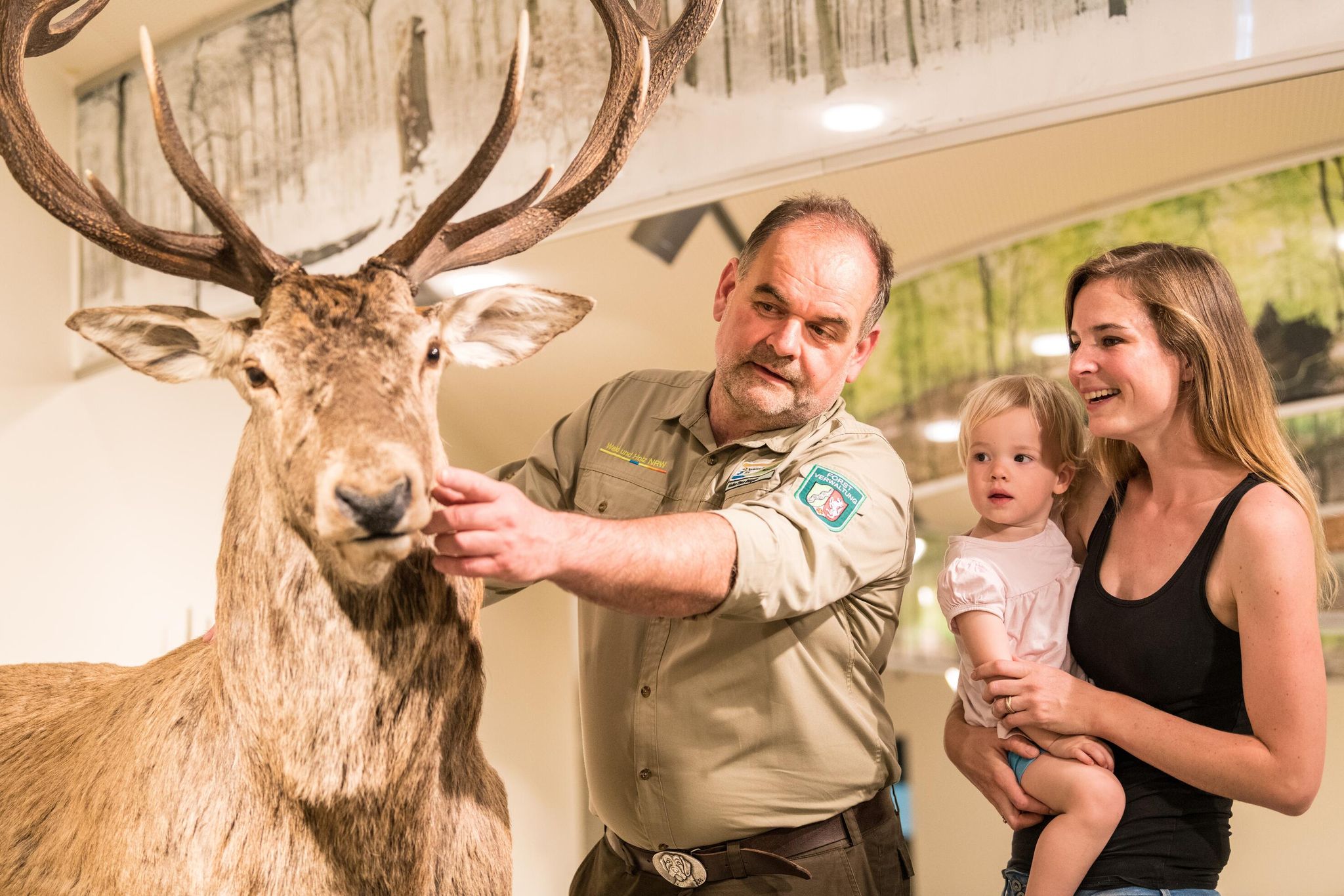
Eifel National Park information centres and facilities
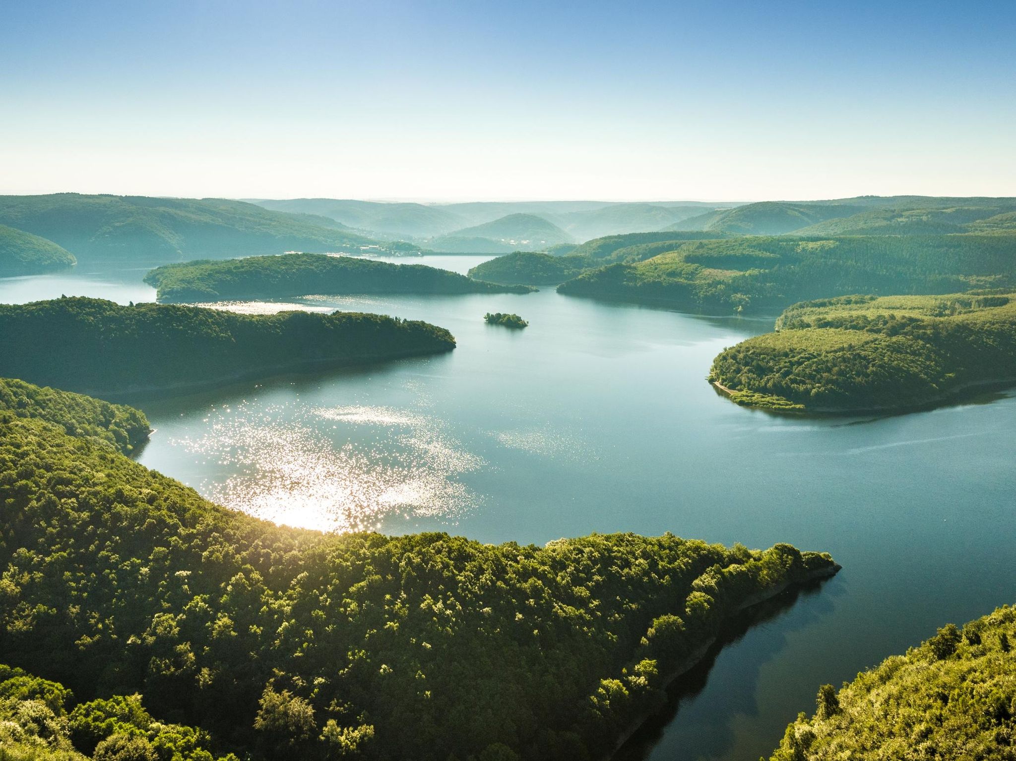
Themed tours around the Eifel National Park
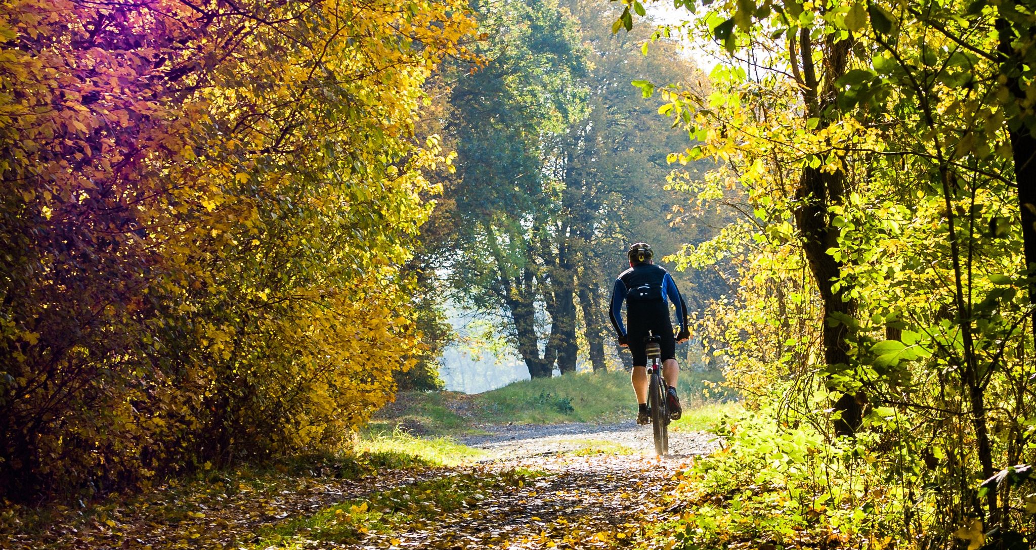
Colored leaves, mud and your bike in NRW
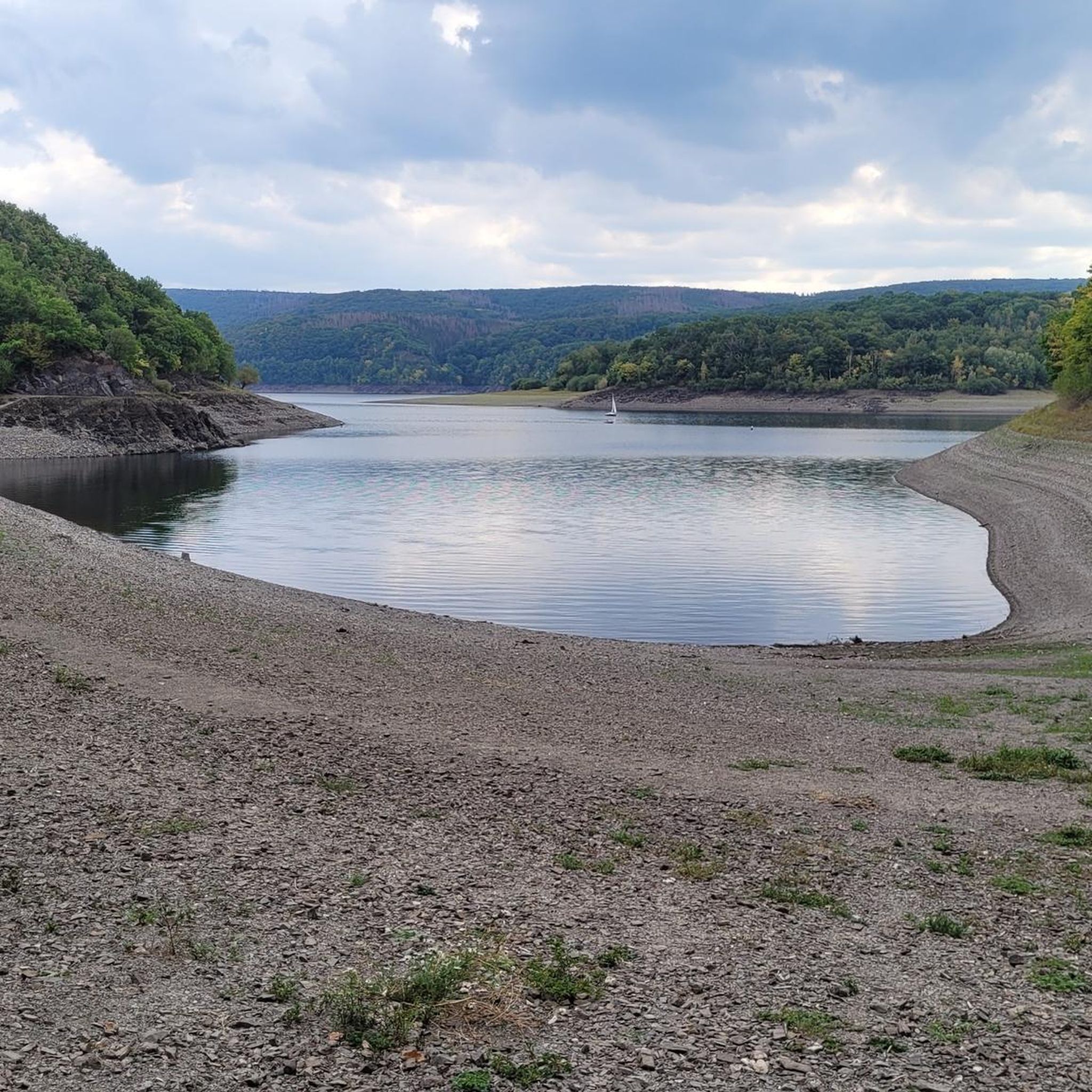
Hiking around Rur Dam
Cycling around Rur Dam
MTB Trails around Rur Dam
Other adventures around Rur Dam


Tips from the Community

Hi 👋😊 This highlight is located in the Eifel National Park. To protect sensitive species, there are special rules here: Stay on official paths, keep dogs on a leash, take your trash back with you, and cycle/MTB only on designated paths. Smoking and fires are taboo – wildfire risk🔥! Thanks for your understanding! 💚 Further information can be found at www.nationalpark-eifel.de. We wish you a great time in the emerging wilderness!
1
0

This route offers room for variations....
0
0

Directly at the power plant and parking lot.
0
0

Great view of the lake
0
0

Beautifully situated rest area at the Hesselbach, which invites us to take a short break.
2
0

Great view of the Eifel and you can usually enjoy it alone...
0
0

Anyone familiar with the ancient idiom—now largely lost—will recognize the root word "meucheln" (to kill/murder) in the "Meuchelberg" found here. The fact that the local cemetery is located at its foot on the outskirts of Heimbach naturally reinforces this impression. GH's interesting article, with its link to several legends that—albeit with different interpretations of the details—all convey the same core message, could indeed explain the name.
8
0

The forest path that leads there is also easy to walk with a stroller.
2
0
Frequently Asked Questions
How many mountaineering routes are available around Rur Dam?
There are 6 distinct mountaineering routes around Rur Dam featured in this guide, ranging from easy to difficult. These routes offer diverse experiences within the scenic Eifel region.
Are there routes suitable for beginners or families?
Yes, there are routes suitable for various fitness levels. For an easier option, consider the Heimbach Reservoir loop from Rur Dam, which is 2.6 miles (4.2 km) long and offers pleasant views of the reservoir.
Are there any circular mountaineering routes around Rur Dam?
Many of the routes around Rur Dam are circular, allowing you to start and end at the same point. For example, the Taucherbucht loop from Senkelbachquellen is a moderate 7.1-mile (11.4 km) path that winds through forested areas and along the Rursee shoreline.
What kind of scenery can I expect on these routes?
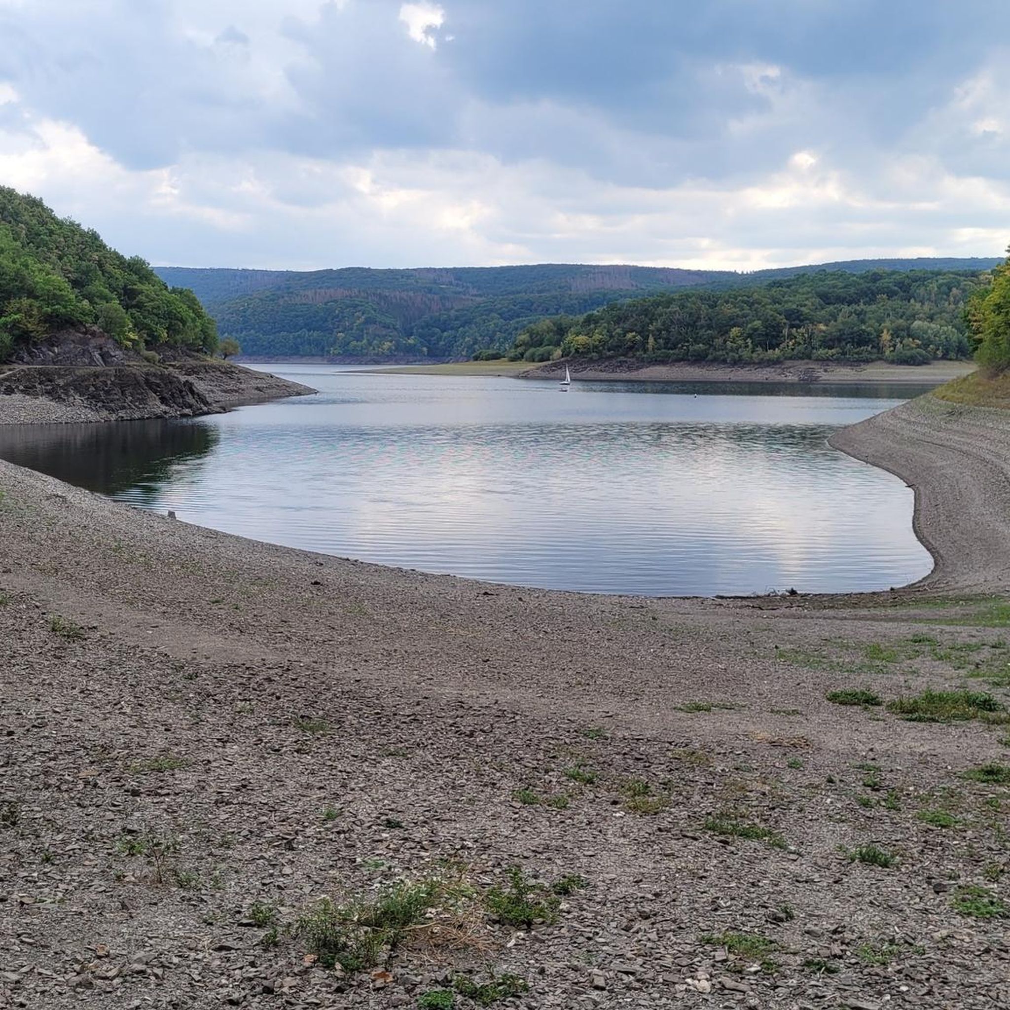
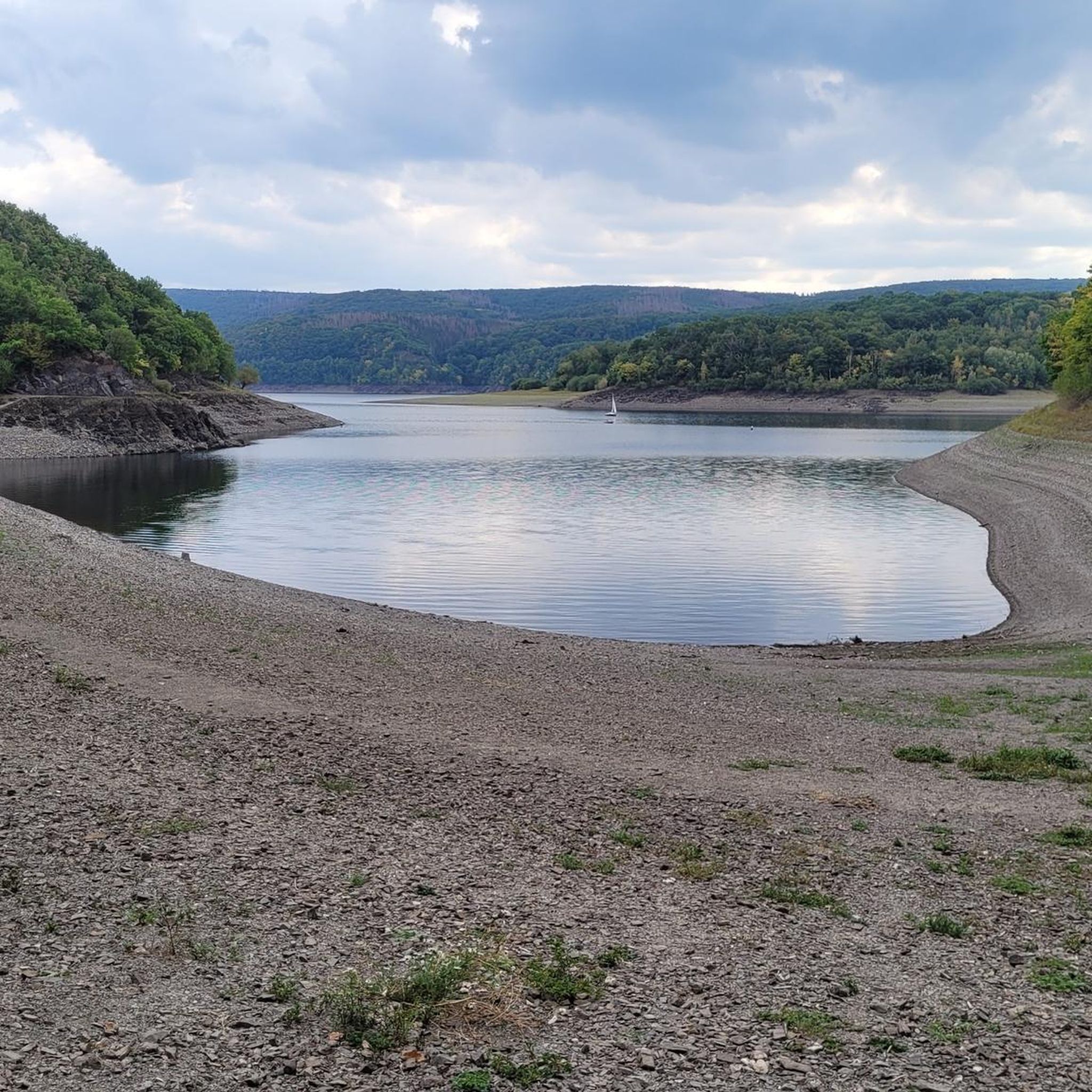
The routes around Rur Dam offer breathtaking scenery characterized by forested hills, the expansive Rur Reservoir (Rursee), and tranquil coves. You'll experience diverse terrain within the Eifel National Park, often with stunning views of the water and surrounding woodlands. The Upper Lake section is even nicknamed the 'Amazon of the Eifel' due to its branching shape and deep green forests.
Are there any challenging mountaineering routes for experienced hikers?
Yes, for those seeking a more strenuous experience, the region offers challenging routes. The Staubecken Heimbach – Meuchelberg loop from Hausen is classified as difficult, covering over 12 miles (20 km) with significant elevation changes, providing an experience akin to alpine trekking.
What are some notable viewpoints or attractions along the routes?
The Rur Dam area is rich in scenic spots. You can enjoy expansive views of the Rursee from various points, such as the View of the Rursee at Schwammenauel or the View of the Rur Reservoir. The Rur Dam (Schwammenauel Reservoir) itself is a prominent landmark, and you might also encounter the unique Dragon's Head Tree Stump Trail within the Eifel National Park.
What is the best time of year to go mountaineering around Rur Dam?
The Rur Dam region is beautiful year-round. Spring and autumn offer pleasant temperatures and vibrant colors, while summer is ideal for combining hikes with water sports on the Rursee. Winter hiking is also possible, but conditions can vary, so it's advisable to check local weather forecasts and trail conditions.
What gear should I consider for mountaineering in this region?
For mountaineering around Rur Dam, which involves challenging hikes with elevation changes, sturdy hiking boots with good ankle support are essential. Depending on the season, layers of clothing, rain gear, sufficient water, and snacks are recommended. While traditional technical mountaineering gear like ropes or crampons is generally not needed for these routes, a hiking pole can be helpful on steeper sections.
Are there cafes or places to eat near the routes?
Yes, the Rur Dam area is a popular tourist destination, and you'll find various cafes and restaurants, especially around the main dam area and in nearby towns. Many routes pass close to villages or scenic spots where refreshments are available, making it easy to refuel during or after your hike.
What do other mountaineers say about the routes around Rur Dam?
The routes around Rur Dam are highly rated by the komoot community, with an average score of 4.2 stars from over 15 reviews. Mountaineers often praise the diverse terrain, the stunning reservoir views, and the well-maintained paths that offer a rewarding outdoor experience.
Are there any routes that offer significant elevation gain?
Yes, several routes feature significant elevation gain, providing a good workout and expansive views. For instance, the Eugenienstein – Mausauel Rur Bridge loop from Nideggen includes over 400 meters of ascent, making it a moderately challenging option for those looking for elevation.
Are there parking facilities near the starting points of the routes?
Yes, parking is generally available at or near the starting points of many routes around Rur Dam, especially in popular areas like Schwammenauel or other access points to the Rursee. It's always a good idea to check specific route details for parking information before you go.
Is public transport available to access the trails?
The Rur Dam region has some public transport options, though access might vary depending on the specific trailhead. Buses connect some of the larger towns and attractions around the Rursee. For detailed information on schedules and routes, it's best to consult local public transport providers or the Eifel National Park website: nationalpark-eifel.de.
Most popular routes around Rur Dam
Most popular attractions around Rur Dam

Get inspired with the komoot mobile app


Explore more
Browse the best Mountain Hikes & Routes in other regions.
