The best hikes from bus stations around Blausteinsee
4.5
(5266)
23,265
hikers
616
hikes
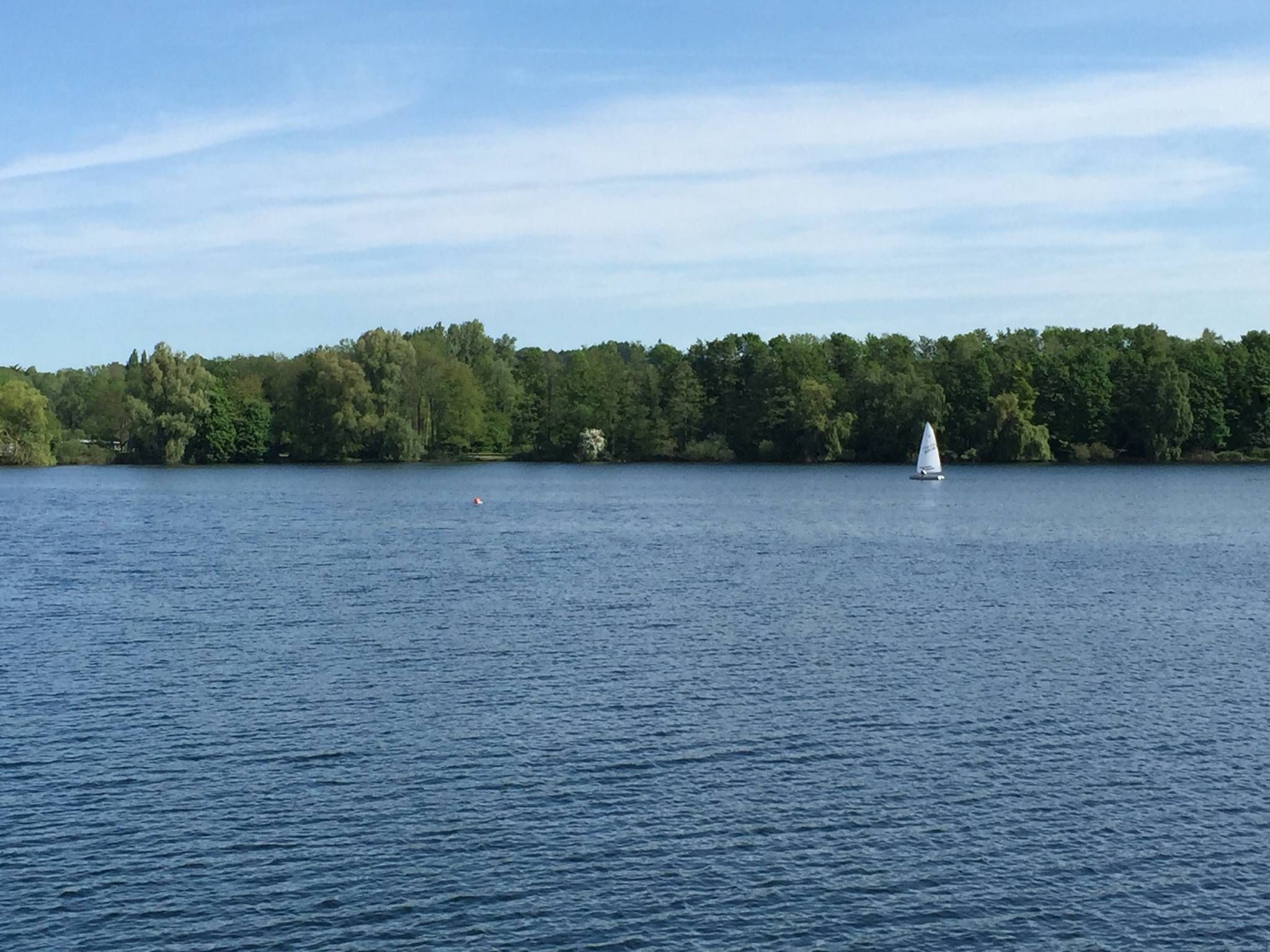
Bus station hiking trails around Blausteinsee offer access to a landscape shaped by its history as a former open-cast coal mine, now transformed into a recreational area. The central feature is the artificial lake, surrounded by a wide green belt of deciduous trees, bushes, and meadows. This area provides varied scenery, from natural forest sections to shore paths, with gentle elevation changes. The terrain is generally accessible, reflecting its renatured mining origins.
Best bus station hiking trails around Blausteinsee
- The…
Last updated: May 17, 2026
4.6
(720)
2,641
hikers
6.51km
01:41
30m
30m
Easy hike. Great for any fitness level. Easily-accessible paths. Suitable for all skill levels.
5.0
(1)
8
hikers
3.55km
00:54
10m
10m
Easy hike. Great for any fitness level. Easily-accessible paths. Suitable for all skill levels.

Sign up for free
4.3
(14)
75
hikers
9.20km
02:26
90m
90m
Moderate hike. Good fitness required. Easily-accessible paths. Suitable for all skill levels.
4.3
(15)
87
hikers
10.8km
02:47
60m
60m
Moderate hike. Good fitness required. Easily-accessible paths. Suitable for all skill levels.
4.0
(6)
21
hikers
Moderate hike. Good fitness required. Easily-accessible paths. Suitable for all skill levels.
Get access to more routes and recommendations from other explorers.
Sign up for free
Already have an account?
Our route recommendations are based on thousands of hikes, rides, and runs completed by other people on komoot.
Start today with a free account
Your next adventure awaits.
Login or Signup
Popular around Blausteinsee
Other adventures around Blausteinsee

Tips from the Community

Nice circular route around the Blausteinsee
0
0

Blaustein Lake is a beautifully situated place. Ideal for relaxing.
0
0


Beautiful place, both touristy, calm and wild
0
0
Nice place to relax or do some sport. :)
0
0
Nice place to relax, suitable for a longer walk around the lake (follow the circular path). :)
1
0
Beautiful path with parking facilities. You can quickly reach the circular path to Blaustein Lake
0
0
Frequently Asked Questions
How many bus station hiking trails are available around Blausteinsee?
There are over 600 hiking routes around Blausteinsee that are accessible from bus stations. These trails cater to various preferences, from easy strolls around the lake to more moderate explorations of the surrounding landscape.
What kind of landscapes can I expect on hikes from bus stations around Blausteinsee?
The trails around Blausteinsee offer a unique blend of landscapes, transitioning from a former open-cast mine to a vibrant recreational area. You'll find tranquil lake shores, a wide 'green belt' of deciduous trees and meadows, and paths that highlight the region's mining history. The WasserWeg Blausteinsee, for example, showcases the lake's diverse facets, from natural forest sections to open shore paths.
Are there easy hiking trails accessible by bus around Blausteinsee?
Yes, many trails are suitable for beginners and those looking for an easy walk. The most prominent is the WasserWeg Blausteinsee, an easy 6.5 km circular route around the lake with minimal elevation gain, perfect for all skill levels. Another easy option is the Container Playground – Water Trail Blausteinsee loop from Dürwiß.
Are there any circular hiking routes from bus stations in the Blausteinsee area?
Yes, many of the trails accessible by bus are circular, allowing you to start and end at the same point. The WasserWeg Blausteinsee is a popular circular route directly around the lake. For a slightly longer moderate option, consider the Blausteinsee Lakeside Stage – Lake Blaustein loop from Dürwiß.
What attractions or viewpoints can I find along bus-accessible hiking trails?
Hikers can enjoy several points of interest. The Blausteinsee Pavilion and other viewing platforms offer scenic vistas of the lake. You might also encounter memorial stones and wayside crosses commemorating former settlements, adding a historical dimension to your walk. The Access to Blausteinsee Lake – Blausteinsee Pavilion loop from Fronhoven is a great route to experience these sights.
Are the bus station hiking trails around Blausteinsee suitable for families?
Absolutely. Many trails, especially those directly around the lake, are considered family-friendly due to their easy difficulty and relatively flat terrain. The WasserWeg Blausteinsee is particularly well-suited for families, offering a pleasant walk with opportunities to enjoy the lake and its surroundings.
Can I bring my dog on the bus-accessible hiking trails around Blausteinsee?
Yes, the Blausteinsee area is generally dog-friendly. Dogs are welcome on most hiking trails, but it's always recommended to keep them on a leash, especially in designated recreational areas and near wildlife. While swimming for dogs might be restricted in certain bathing areas, the natural sections of the lake's shoreline often provide opportunities for dogs to enjoy the water.
What is the best time of year to hike around Blausteinsee?
Blausteinsee offers enjoyable hiking experiences throughout the year. Spring brings blooming flora, while summer is perfect for combining hikes with water activities. Autumn showcases beautiful fall foliage, and even in winter, the tranquil, often snow-dusted landscape can be very appealing. The well-maintained paths make it accessible in most conditions.
Are there places to eat or get refreshments near the bus station hiking trails?
Yes, the Blausteinsee area provides options for refreshments. The Lake House restaurant offers dining with views of the lake from its terrace. Additionally, the nearby towns and villages, often served by the same bus routes, will have cafes and other eateries.
What do other hikers enjoy most about hiking in Blausteinsee?
The area is highly rated by the komoot community, with an average score of 4.5 stars. Reviewers often praise the peaceful atmosphere, the well-maintained paths, and the unique transformation of the landscape from a mining area to a beautiful recreational lake. The accessibility by public transport is also a frequently appreciated aspect.
Are there any moderate or challenging trails accessible by bus around Blausteinsee?
While many trails are easy, there are also moderate options for those seeking a bit more challenge. Routes like the Inde River at Pattern – Bridge Over the Inde loop from Neu-Lohn offer longer distances and more varied terrain, including some elevation changes, allowing for a more extensive exploration of the region beyond the immediate lake shore.
Most popular routes around Blausteinsee
Most popular attractions around Blausteinsee

Get inspired with the komoot mobile app


Explore more
Browse the best Hikes in other regions.
