The best traffic-free bike rides around Unterbacher Lake
4.4
(2707)
35,339
riders
27
rides
No traffic road cycling routes around Unterbacher Lake offer a diverse landscape for road cyclists. The region features a large former quarry lake, surrounded by the nature reserve Unterbacher See/Eller Forst, providing a green and serene backdrop for rides. While the broader Düsseldorf area is generally flat, the proximity to the Bergisches Land introduces a hilly character with opportunities for elevation gain on smaller, winding roads. Cycling paths are well-maintained, with a significant portion being asphalt, making them suitable for…
Last updated: May 17, 2026
3.9
(15)
207
riders
Moderate road ride. Great for any fitness level. Some segments of this route may be unpaved and difficult to ride.
4.2
(40)
282
riders
Easy road ride. Great for any fitness level. Mostly well-paved surfaces and easy to ride.

Sign up for free
18
riders
45.5km
02:02
140m
140m
Moderate road ride. Good fitness required. Some segments of this route may be unpaved and difficult to ride.
4.7
(36)
622
riders
Easy road ride. Great for any fitness level. Mostly well-paved surfaces and easy to ride.
4.0
(4)
55
riders
12.0km
00:30
40m
40m
Easy road ride. Great for any fitness level. Mostly well-paved surfaces and easy to ride.
Get access to more routes and recommendations from other explorers.
Sign up for free
Already have an account?
Our route recommendations are based on thousands of hikes, rides, and runs completed by other people on komoot.
Start today with a free account
Your next adventure awaits.
Login or Signup
Popular around Unterbacher Lake
Tips from the Community

Haus Graven moated castle was probably built around 1300 as a successor to the "Motte Schwanenmühle" located approximately 800 meters to the north. The castle was completely destroyed, and the outer bailey was rebuilt around 1700.
1
0

Attention: Restaurants are not always open, please check beforehand!
1
0

Beautiful hiking trail with beautiful views
1
0

Very nice track with good surface
0
0

This section is for you to accelerate. Drink plenty of fluids!
0
0

The Myriameter Stone near Mohnheim am Rhein (postal code 40789) is a historic kilometer marker located along the Rhine and is part of an old river survey. This stone marks a specific distance in myriameters, a unit of length that is now rather uncommon, corresponding to 10 kilometers (10,000 meters). Such stones were formerly erected along the Rhine to mark distances along the river, especially for shipping. In the 19th century, the Rhine was re-measured as part of the Prussian Rhine Regulation, and so-called Myriameter Stones were erected to provide precise distance information to Rhine boatmen and other road users. This was a systematic marking that was erected along the entire course of the river. The Myriameter Stone near Mohnheim am Rhein is one of these historic markers and indicates the distance along the Rhine. These stones were not only useful for navigation, but also a symbol of the advanced surveying and infrastructure development along the river in the 19th century. A typical myriameter stone is a large, solid stone block or pillar engraved with the distance in kilometers, and often also in myriameters. Such stones are rare today and are usually considered a memorial commemorating the earlier era of river surveying and transport on the Rhine. The stone near Mohnheim am Rhein bears such an inscription, marking the exact distance in kilometers along the Rhine. These stones no longer serve any practical purpose for navigation, but they are important testimonies to the historical infrastructure along the Rhine.
4
0

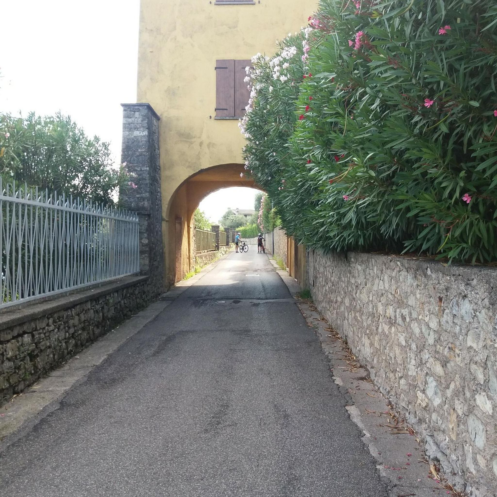
Ride whenever possible, because apart from a few local residents, there is no car traffic here and therefore no danger for cyclists.
0
0

Welcome to Schlossufer Benrath in Düsseldorf. Located directly between the idyllic castle park and the majestic Rhine, Schlossufer Benrath offers a first-class lifestyle. This unique residence with 12 luxury apartments harmoniously combines the beauty of nature
7
1
Frequently Asked Questions
How many no-traffic road cycling routes are available around Unterbacher Lake?
There are nearly 30 dedicated no-traffic road cycling routes around Unterbacher Lake, offering a variety of distances and difficulty levels. You'll find 12 easy routes, 16 moderate routes, and 1 more challenging option.
What kind of terrain can I expect on no-traffic road cycling routes near Unterbacher Lake?
The region around Unterbacher Lake offers a mix of terrain. While the Düsseldorf area is generally flat, routes extending towards the Bergisches Land can introduce a hilly character with significant elevation gain. Many paths are well-paved asphalt, ideal for road bikes, though some routes might include short segments of gravel or unpaved surfaces.
Are there any easy, beginner-friendly no-traffic road cycling routes?
Yes, there are 12 easy routes perfect for beginners or those seeking a relaxed ride. An example is the Rhine Cycle Route – Rhine Ferry Cologne-Langel/Hitdorf loop from Schloss Benrath, which offers a gentle ride with minimal elevation.
What are the best times of year for no-traffic road cycling around Unterbacher Lake?
Spring, summer, and early autumn are generally the best times for road cycling around Unterbacher Lake, offering pleasant weather and lush scenery. The well-maintained paths make cycling enjoyable even in cooler months, but always check local weather conditions before heading out.
What natural features or landmarks can I see along the no-traffic road cycling routes?
Cyclists can enjoy extensive green spaces, views of the lake, and may pass by picturesque small farms, churches, and even castles. Notable highlights include the View of Unterbacher Lake, Optimists' Bay, and various rest areas offering scenic spots to pause.
Are there any family-friendly no-traffic road cycling options?
Many of the easy and moderate routes around Unterbacher Lake are suitable for families, especially those with well-paved surfaces and minimal traffic. The 6-kilometer circuit directly around the lake is a popular, often traffic-free option. Always check the route details for specific suitability for younger riders.
Where can I find parking for no-traffic road cycling routes near Unterbacher Lake?
Parking is generally available at various access points around Unterbacher Lake. Specific starting points for routes, such as those near Benrath S or Kappeler Straße, often have designated parking facilities. It's advisable to check the starting point of your chosen route for the most convenient parking options.
Can I access these no-traffic road cycling routes using public transport?
Yes, Unterbacher Lake is well-connected by public transport. You can reach the area by bus or S-Bahn, with several stops conveniently located near the lake, allowing easy access to the cycling network. Routes often start from locations like Benrath S, which is a public transport hub.
What do other road cyclists enjoy most about cycling in Unterbacher Lake?
The komoot community rates the routes around Unterbacher Lake highly, with an average score of 4.4 stars from over 2,700 ratings. Reviewers often praise the serene natural environment, the well-maintained paths, and the variety of routes that cater to different fitness levels, all while enjoying traffic-free conditions.
Are there places to eat or relax near the no-traffic road cycling routes?
Absolutely. Unterbacher Lake offers several restaurants and cafes with inviting lake views, perfect for a break after your ride. You'll also find snack bars at the North and South beaches. Additionally, there are numerous rest areas along the western shore of the lake.
Are there any other activities or attractions near the cycling paths?
Beyond cycling, Unterbacher Lake is a hub for outdoor activities. You can enjoy swimming at the beaches, various water sports like windsurfing or stand-up paddleboarding, or even try the High Ropes Course Düsseldorf at Unterbacher See. There are also mini-golf facilities and designated BBQ areas.
Are there any circular no-traffic road cycling routes around Unterbacher Lake?
Yes, many of the no-traffic road cycling routes around Unterbacher Lake are designed as loops, allowing you to start and end at the same point. A popular circuit directly around the lake is approximately 6 kilometers, offering a pleasant and contained ride. Longer loops, such as the Rhine Cycle Route – Rheindamm Monheim loop from Benrath S, also provide circular options.
Most popular routes around Unterbacher Lake
Most popular attractions around Unterbacher Lake

Get inspired with the komoot mobile app


Explore more
Browse the best Road cycling routes in other regions.
