Paratge Natural d'Interès Nacional de l'Albera
Paratge Natural d'Interès Nacional de l'Albera
The 11 Most Amazing Peaks around Paratge Natural d'Interès Nacional de l'Albera
Best mountain peaks around Paratge Natural d'Interès Nacional de l'Albera, an eastern extension of the Pyrenees, offer diverse features and experiences. This region is characterized by its unique position straddling the border between France and Spain. Visitors can find panoramic views of the Mediterranean Sea, coastal plains, and the wider Pyrenean landscape. The area also features rich biodiversity and historical elements.
Best mountain peaks around Paratge Natural d'Interès Nacional de l'Albera
- The most popular mountain peaks is Puig Neulós,…
Last updated: July 7, 2026
Puig Neulós
Highlight • Summit
Translated by Google •
Tip by

Querroig Castle
Highlight • Castle
Once upon a time there was a small castell, now only the base of a tower is left.
Translated by Google •
Tip by

Sign up now to discover places like this
Get recommendations on the best single tracks, peaks, & plenty of other exciting outdoor places.
Sign up for free
Summit of Puig d'Esquers
Highlight • Summit
Translated by Google •
Tip by
Sallfort Peak
Highlight • Summit
Translated by Google •
Tip by

Puig de Cervera
Highlight • Summit
Translated by Google •
Tip by

Sign up for free to discover even more peaks around Paratge Natural d'Interès Nacional de l'Albera.
Sign up for free
Already have an account?
Start today with a free account
Your next adventure awaits.
Login or Signup
Popular around Paratge Natural d'Interès Nacional de l'Albera
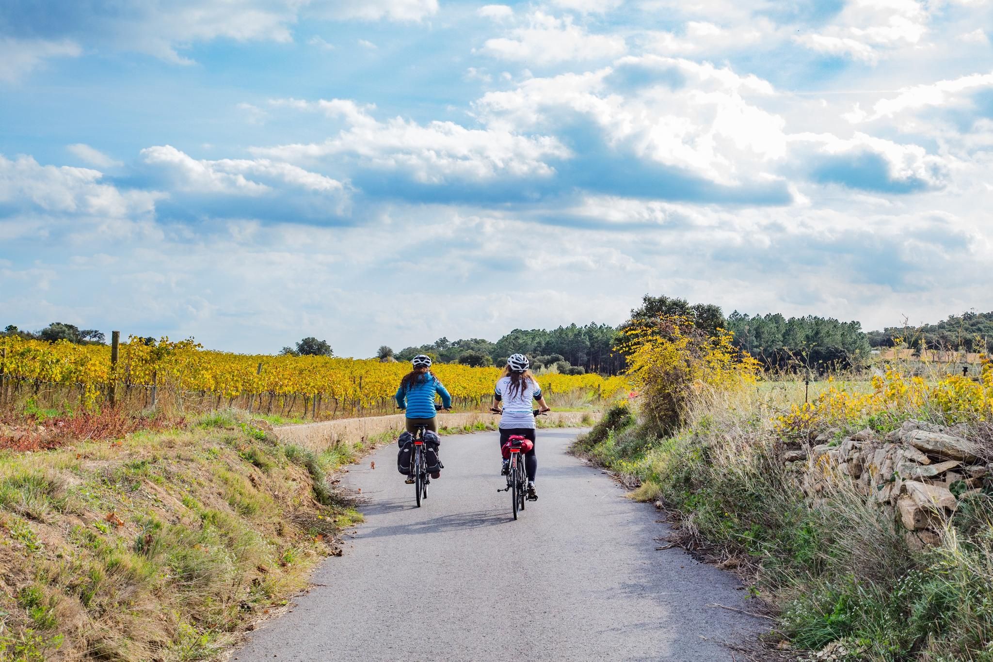
A journey from the Pyrenees to the Costa Brava – Pirinexus Route
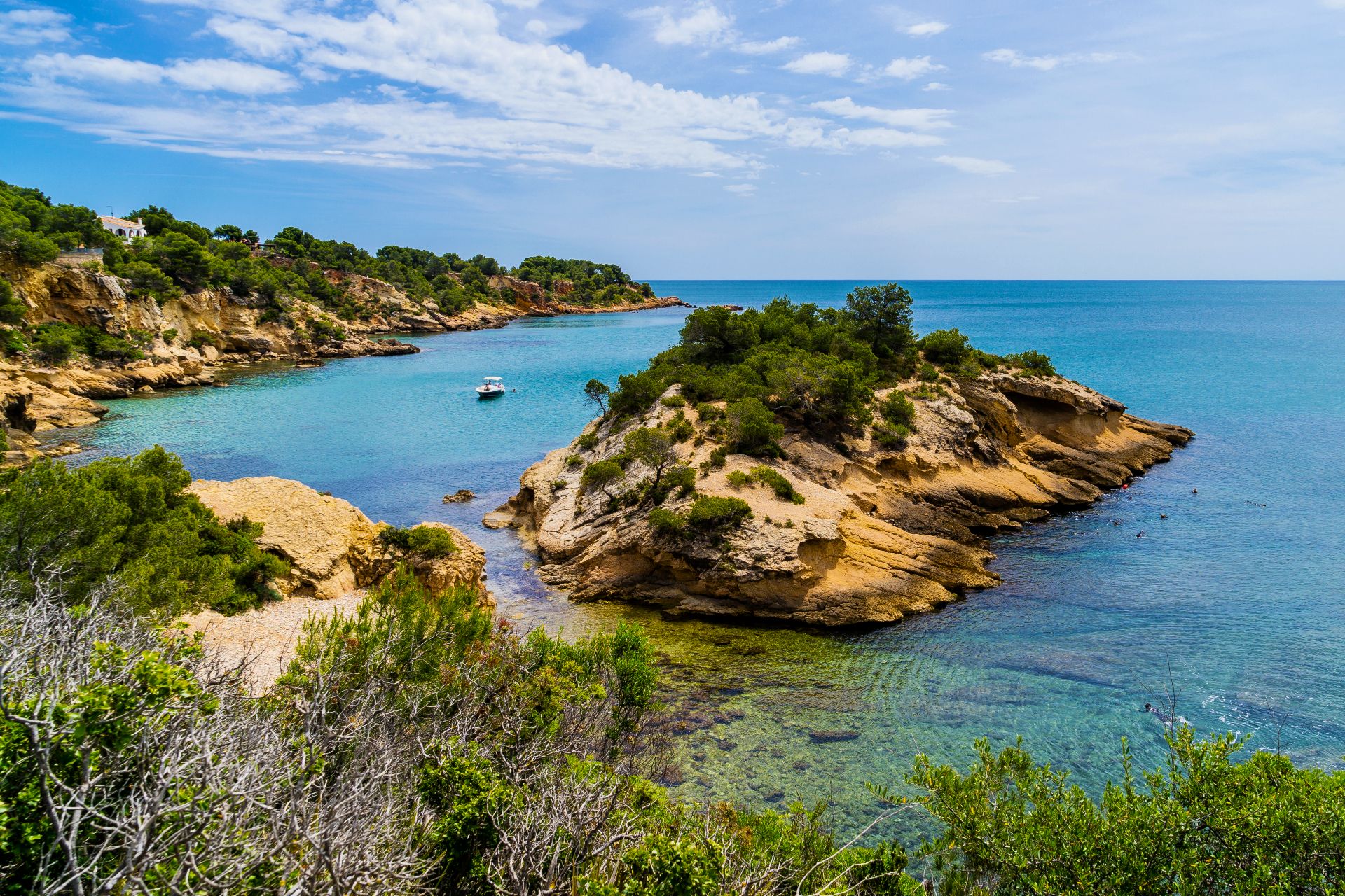
The Catalan coast on foot – Mediterranean Path (GR 92)

Catalonia and Andorra on the Pyrenean Trail – GR 11
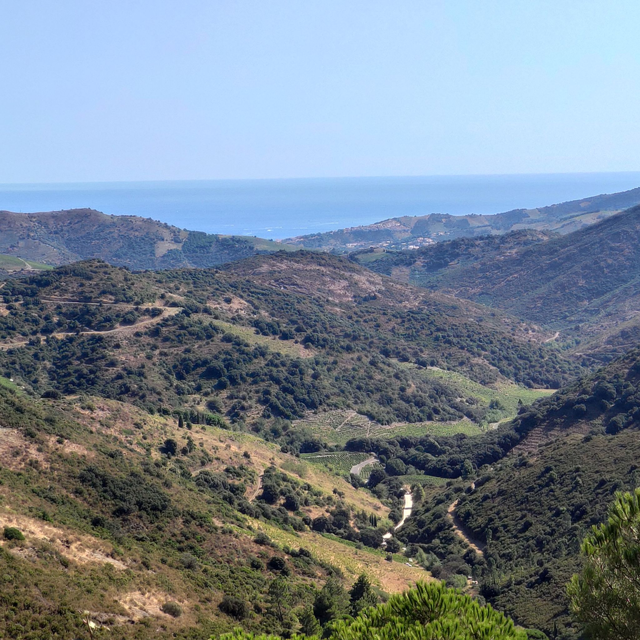
Road Cycling Routes around Paratge Natural d'Interès Nacional de l'Albera
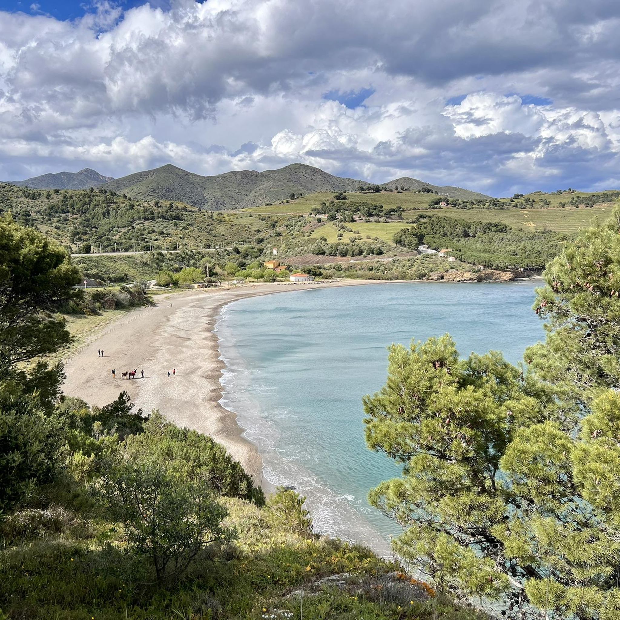
Cycling around Paratge Natural d'Interès Nacional de l'Albera
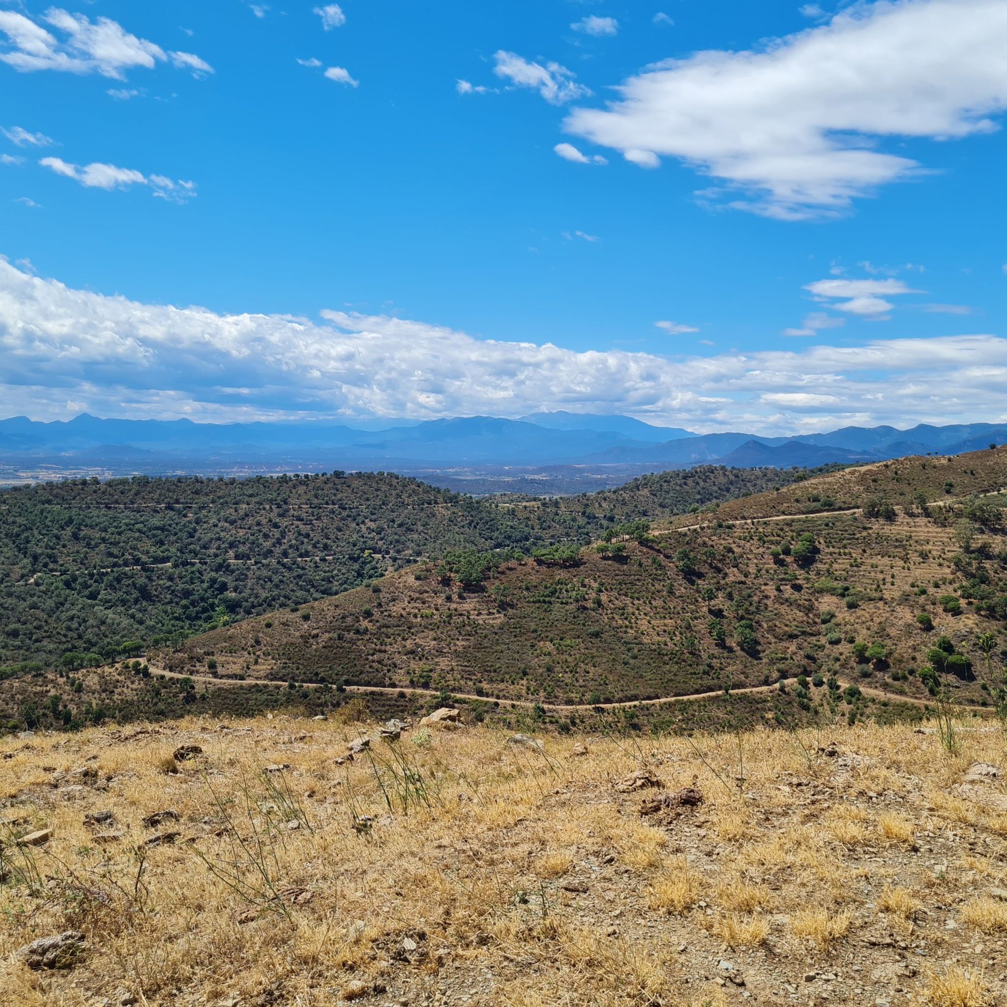
MTB Trails around Paratge Natural d'Interès Nacional de l'Albera
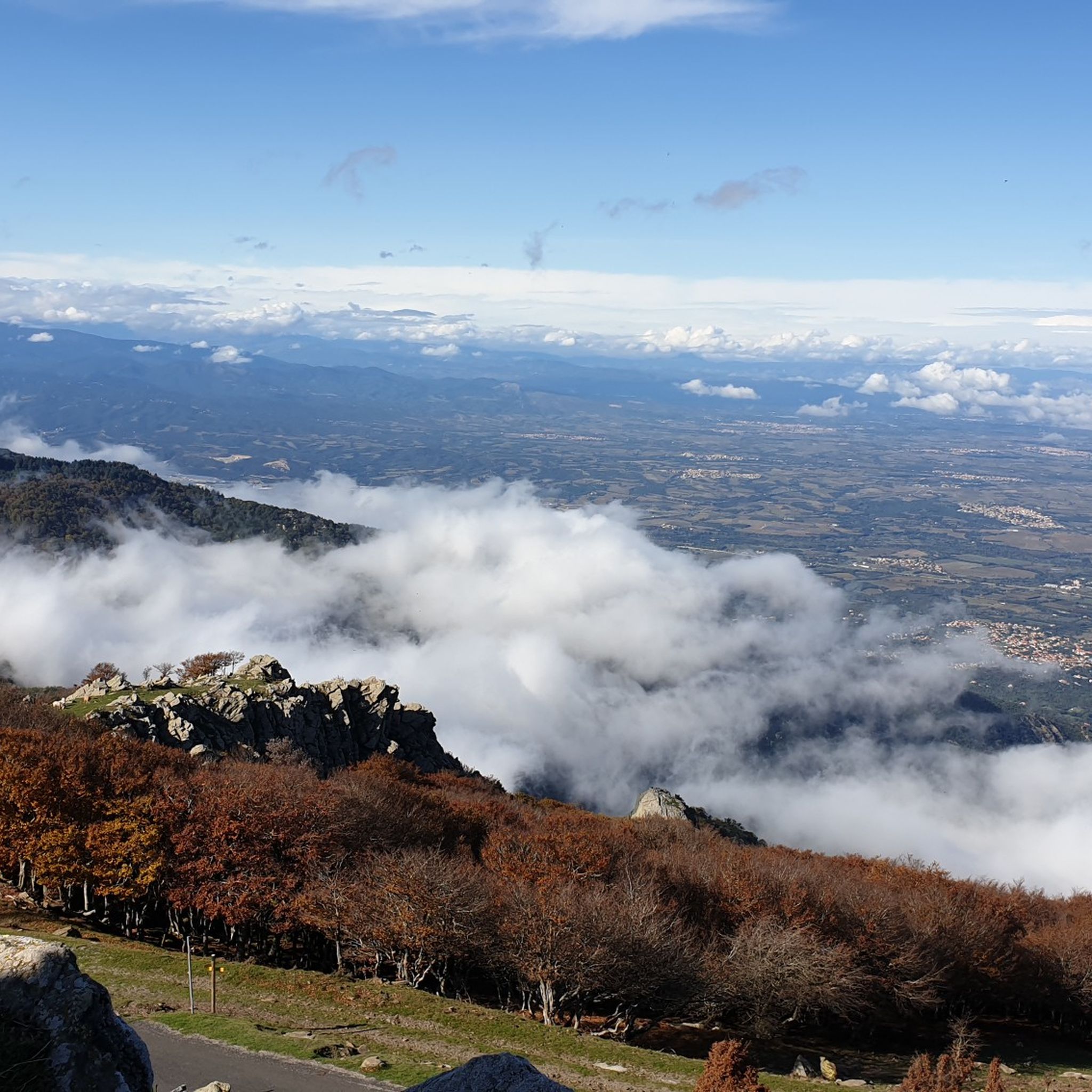
Hiking around Paratge Natural d'Interès Nacional de l'Albera
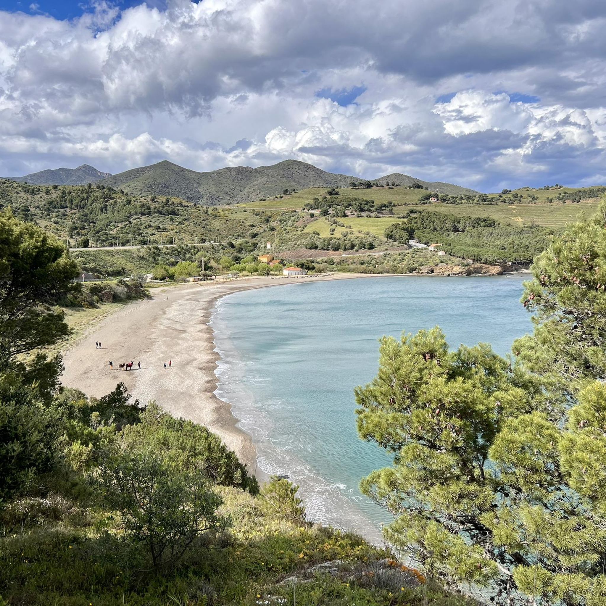
Running Trails around Paratge Natural d'Interès Nacional de l'Albera

Gravel biking around Paratge Natural d'Interès Nacional de l'Albera

Mountain Hikes around Paratge Natural d'Interès Nacional de l'Albera
Other adventures around Paratge Natural d'Interès Nacional de l'Albera


Tips from the Community


Very nice view on the France/Spain border.
0
0

The 205 m high Puig de Cervera lies directly on the border between the southern French municipality of Cerbère and the northern Catalan municipality of Portbou, marked by the border cross N 601. The view of the sea is magnificent, the descent to Portbou is somewhat exposed and not entirely easy.
0
0

Magnificent view ! It’s worth going up there 🤩🤩
6
0

Infernal ascent, when the trees disappear and you seem to be at the top, the pit is waiting for you. Reserve your strength because the last kilometer, despite being on asphalt, is HELL!
6
0

Peak that is part of the FEEC list of 100 peaks where two states and three municipalities meet, Portbou, Cervera de la Marenda and Banyuls de la Marenda. From this point you get wonderful views of the Mediterranean to the east and the Albera mountains to the west, in a magnificent 360º panorama that includes Puig de Sallafort, Puig Neulós and Cap de Creus. At the top we find the ruins of an old medieval castle from the s. X-XI. The round tower is a later construction of the s. XIV or s. XV Until the Treaty of the Pyrenees (1659) when the current northern Catalan counties came under French jurisdiction, the castle depended ecclesiastically on the Count of Empúries and the Bishopric of Girona. The construction technique, like the material, is reminiscent of the castle of Sant Salvador Saverdera, near Sant Pere de Rodes, a peak also included in the list of the 100 Peaks. Salvem Querroig is a northern Catalan association that aims to restore the remains of the castle. For this reason, he had to contact the heir of the last known owner, Ponç Hug, Count of Empúries (1309). The current owner turned out to be Sol María de la Blanca de Medina i Orléans-Braganza, countess of Empúries, of the Ducal House of Medinaceli, based in Seville, and who has granted her permission for the works.
1
0
Modest summit located at the easternmost point of the Pyrenean ridge. This fact is what gives it a well-deserved relevance, since it can well be considered the first/last summit of the Pyrenees. Although the small range of Cap de Creus, geographically, is located in a more eastern area, we can not consider it properly Pyrenean since it is located clearly outside its axial axis. El Puig de Cervera (208m), on the other hand, is located entirely on this imaginary axial axis of the Pyrenean chain, and for this reason, we can consider it another peak of the aforementioned mountain range. Another notable feature is that at the same summit we will find border bollard no. 601, and therefore penultimate of all those located on the interstate border. The last border pillar, no. 602, we will find it at the so-called Punta de l'Ocell, which is nothing more than the eastern spur of the Puig de Cervera, which ends up plunging into the Mediterranean. Access to Punta de l'Ocell can only be done with a boat going into the sea. Even so, the access is delicate since this whole area is made up of rocky cliffs, so the person who wants to approach this Point must have a good mastery of the marine arts. This fact is probably what has caused this pylon, number 602, to be possibly the least visited of all the existing ones, despite having a great symbolic load. It has recently been included in the list of 100 peaks of the F.E.E.C: https://www.feec.cat/activitatis/100-cims/cim/puig-de-cervera/
0
0

Pic de Sallfort, a majestic peak in the Swiss Alps, offers breathtaking views and a challenging ascent for avid hikers and mountaineers. Its rugged beauty and serene surroundings make it a must-visit destination for those seeking adventure and natural splendor in the heart of Switzerland. https://alexandrareisen.com/
0
3
Frequently Asked Questions
What are the most prominent mountain peaks in the Paratge Natural d'Interès Nacional de l'Albera region?
The most prominent peaks in the Albera Range include Puig Neulós, which is the highest point at 1,256 meters and straddles the French-Spanish border, and Puig de Sallfort, culminating at around 994 meters, also on the border. Other notable peaks offering exceptional views are Puig dels Quatre Termes (1,156 m), Puig dels Pastors (1,167 m), and Puig d'Esquers (606 m).
What kind of panoramic views can I expect from the mountain peaks in this region?
The mountain peaks in Paratge Natural d'Interès Nacional de l'Albera offer spectacular 360-degree views. From peaks like Puig Neulós and Sallfort Peak, you can see the Roussillon plain, Alt Empordà (Catalonia), the Mediterranean Sea, and the wider Pyrenean landscape. Summit of Puig d'Esquers provides exceptional views of the Empordà plain and the Mediterranean coast.
Are there any historical sites or cultural elements to explore on the mountain peaks?
Yes, the peaks hold historical interest. For example, Querroig Castle features the ruins of an old medieval castle from the 10th-11th centuries, offering a glimpse into the region's past. Puig Neulós has a historic 17th-century snow store and stories related to smugglers. The area also features ancient megaliths within the Albera Massif.
What natural features can I discover while hiking the peaks of Paratge Natural d'Interès Nacional de l'Albera?
The region is rich in biodiversity, with diverse landscapes ranging from lush forests to open, windswept summits. You can find a mix of Mediterranean and Euro-Siberian plant species, including pine, oak, and beech forests, and beautiful holly groves. Hikers might also encounter local wildlife, such as cows near Puig Neulós. The Massane Nature Reserve, near Puig de Sallfort, is a scientific research area with a vast inventory of species.
Are there challenging hiking routes to the mountain peaks in Paratge Natural d'Interès Nacional de l'Albera?
Yes, several peaks offer challenging routes. For instance, Sallfort Peak is categorized as challenging, and its ascent can be demanding, especially with strong winds. The GR10 long-distance hiking trail crosses its summit. The journey to Puig Neulós can also be strenuous, taking hikers through varied terrain.
Are there any family-friendly mountain peaks or trails in the region?
While some peaks offer challenging ascents, there are options for families. The Summit of Puig d'Esquers is categorized as family-friendly and intermediate, providing a rewarding experience with exceptional views without being overly strenuous. For more easy hiking options, you can explore the Easy hikes around Paratge Natural d'Interès Nacional de l'Albera guide.
What is the best time to visit the mountain peaks in Paratge Natural d'Interès Nacional de l'Albera?
The region can be visited year-round, but spring and autumn generally offer the most pleasant hiking conditions with milder temperatures and vibrant natural colors. Summer can be hot, especially at lower elevations, while winter can bring colder temperatures and potentially misty conditions, particularly on higher peaks like Puig Neulós, whose name relates to being 'cloud-covered'.
What outdoor activities can I do near these mountain peaks?
Beyond peak bagging, the region offers diverse outdoor activities. You can find numerous hiking trails, including long-distance routes like the GR10 that crosses Puig de Sallfort. There are also opportunities for gravel biking. For detailed routes, check out the Hiking around Paratge Natural d'Interès Nacional de l'Albera and Gravel biking around Paratge Natural d'Interès Nacional de l'Albera guides.
Are there any peaks that offer a unique borderland experience?
Absolutely. Both Puig Neulós and Puig de Sallfort are located directly on the Franco-Spanish border, offering a unique opportunity to experience this natural divide. At Puig Neulós, you can literally walk along the border marked by a simple fence. Puig de Cervera, considered the first/last summit of the Pyrenees, also lies directly on the border, marked by border bollard no. 601.
What do visitors enjoy most about the mountain peaks in Paratge Natural d'Interès Nacional de l'Albera?
Visitors frequently highlight the breathtaking panoramic views of the Mediterranean Sea, coastal plains, and the Pyrenees. The unique borderland experience, the diverse hiking opportunities through varied landscapes, and the rich biodiversity are also highly appreciated. Many find the historical elements, such as the ruins of Querroig Castle, to be a significant draw.
Is it possible to reach any of the peaks by car or public transport?
While many trails require hiking, Puig Neulós has a military-restricted paved road on the French side leading close to the summit. For other peaks, access typically involves hiking from nearby trailheads. Public transport options directly to mountain peaks are limited, so planning for parking at trail starts is generally recommended.
Are there any specific long-distance trails that cross these peaks?
Yes, the GR10 long-distance hiking trail crosses the summit of Sallfort Peak, making it a significant point for long-distance trekkers. This trail offers an incredible journey through the Pyrenees, with Sallfort Peak serving as one of its notable milestones.
Most popular routes around Paratge Natural d'Interès Nacional de l'Albera
Most popular attractions around Paratge Natural d'Interès Nacional de l'Albera

Get inspired with the komoot mobile app


Explore more
See even more amazing summits around Paratge Natural d'Interès Nacional de l'Albera with these guides:
