The best hikes from bus stations around Bütgenbacher Lake
4.5
(13039)
53,398
hikers
435
hikes
Hiking around Bütgenbacher Lake offers diverse bus station hiking trails through the East Belgian Ardennes. The region features a blend of forests, meadows, and the lake's shoreline, characteristic of the Eifel-Ardennes landscape. Trails often hug the artificial lake, created by the damming of the Warche river, providing varied scenery. The area is also close to the High Fens, Europe's largest upland moor, known for its dense forests and open fields.
Best bus station hiking trails around Bütgenbacher Lake
- The most popular bus station hiking route is Mouth of the River Warche – Bütgenbach Lake loop from Bütgenbach, a 6.7 miles (10.8 km) moderate trail that takes about 3 hours to complete. This route circles the lake, offering continuous views of the water.
- Another top favourite among local hikers is View of Lake Bütgenbach – Holzwarche Boardwalks loop from Bütgenbach, a moderate 6.7 miles (10.8 km) path. This trail combines lake views with sections through the natural landscape, including boardwalks.
- Local hikers also love the Bütgenbach Dam – View of Lake Bütgenbach loop from Bütgenbach, a 4.3 miles (6.9 km) trail leading through varied terrain around the dam, often completed in about 1 hour 50 minutes.
- Hiking around Bütgenbacher Lake is defined by its lake circuit, extensive forests, and open meadows, with options available for various ability levels.
- The routes in Bütgenbacher Lake are highly rated by the komoot community with an average score of 4.6 stars from over 11,000 reviews. More than 53,000 hikers have used komoot to explore Bütgenbacher Lake's varied terrain.
Last updated: October 2, 2026
4.4
(16)
68
hikers
15.5km
04:06
150m
150m
Moderate hike. Good fitness required. Easily-accessible paths. Suitable for all skill levels.
4.6
(8)
33
hikers
5.13km
01:24
70m
70m
Easy hike. Great for any fitness level. Easily-accessible paths. Suitable for all skill levels.

5.0
(2)
18
hikers
10.6km
02:50
120m
120m
Moderate hike. Good fitness required. Easily-accessible paths. Suitable for all skill levels.
4.7
(3)
23
hikers
6.96km
01:53
100m
100m
Easy hike. Great for any fitness level. Easily-accessible paths. Suitable for all skill levels.
4.5
(24)
99
hikers
22.8km
06:11
330m
330m
Hard hike. Very good fitness required. Easily-accessible paths. Suitable for all skill levels.
Get access to more routes and recommendations from other explorers.
Already have an account?
Our route recommendations are based on thousands of hikes, rides, and runs completed by other people on komoot.
Start today with a free account
Your next adventure awaits.
Popular around Bütgenbacher Lake
Other adventures around Bütgenbacher Lake

Tips from the Community

The Bütgenbach dam was built between 1929 and 1932. The main function of the dam is to regulate the course of the Warche river. This created the lake of Bütgenbach. It is a starting point for beautiful, popular hiking routes: for example, a 10-kilometer walk can be made around the lake.
15
0
The Bütgenbach dam was built between 1929 and 1932. The main function of the dam is to regulate the course of the Warche river. This created the lake of Bütgenbach. It is a starting point for beautiful, popular hiking routes: for example, a 10-kilometer walk can be made around the lake.
12
0
The viaduct is beautiful to see from a distance, but on the viaduct you have a wonderful view of the surroundings. The panorama board explains what you see.
10
0

Between forest and lake...
1
0


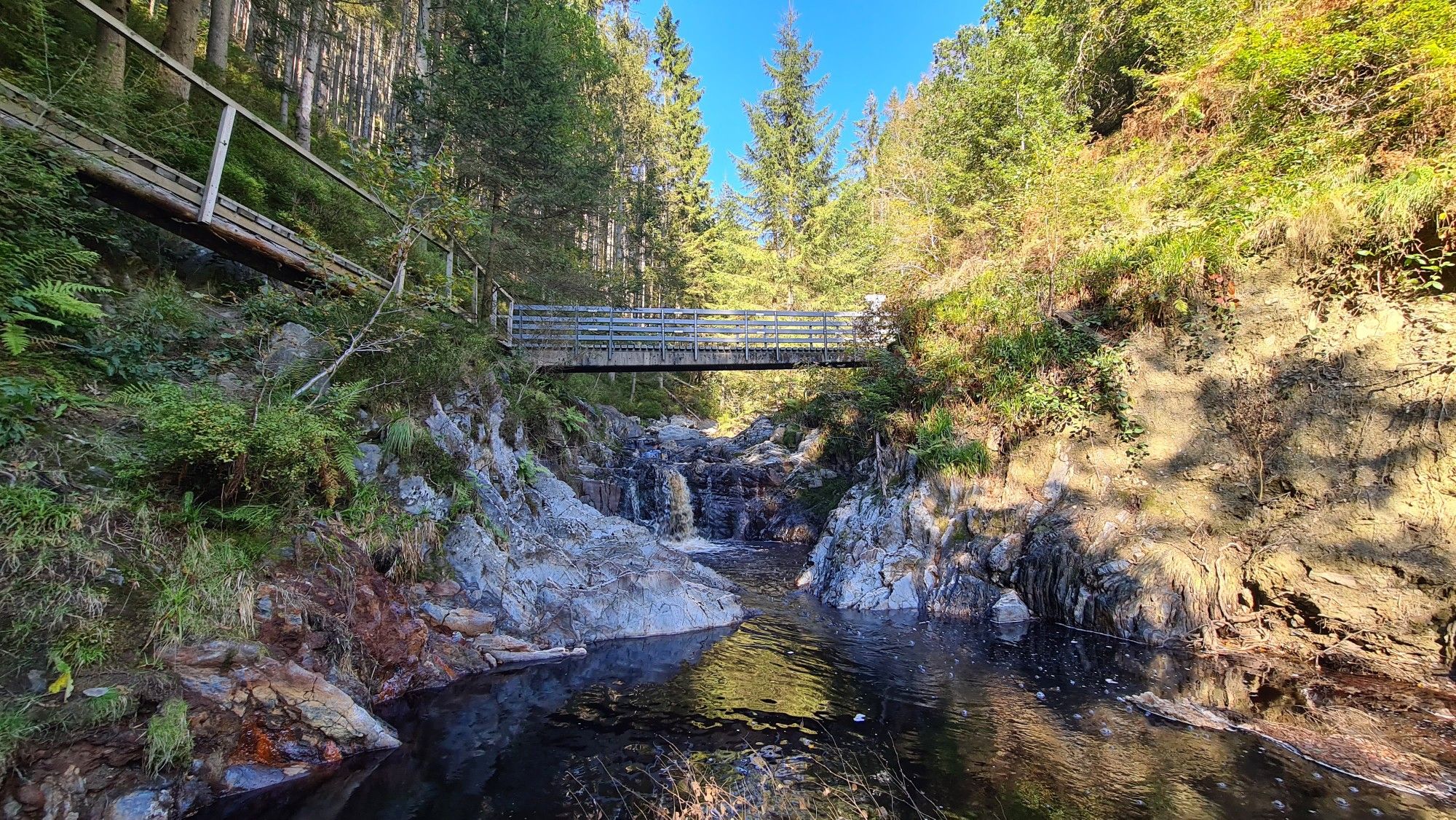
Natural footpath against the slope of Outrewarche. Following the forest edge to the bridge over the Warche branch of the lake.
3
0
Beautiful hiking trail just above the Warche or descending to the bank. Through open terrain or on the edge of a pine forest. Beautiful Warche pictures.
0
0
Frequently Asked Questions
How many bus-accessible hiking trails are available around Bütgenbacher Lake?
There are over 400 hiking trails around Bütgenbacher Lake that are accessible via bus stations, offering a wide range of options for all skill levels. This includes 170 easy routes, 202 moderate routes, and 51 difficult routes.
Are there any easy circular routes accessible by bus around Bütgenbacher Lake?
Yes, for an easy and scenic circular walk, consider the Bütgenbach Dam – View of Lake Bütgenbach loop from Bütgenbach. This route is just under 7 km long and offers pleasant views, starting and ending conveniently near bus stops in Bütgenbach.
What kind of landscapes can I expect on bus-accessible hikes near Bütgenbacher Lake?
The region offers a diverse landscape typical of the Eifel-Ardennes. You can expect to hike through dense forests, across open meadows, and along scenic boardwalks. Many trails also hug the shoreline of Bütgenbacher Lake, providing beautiful water views. The area is also close to the High Fens, Europe's largest upland moor, known for its unique heath landscapes.
Are there any longer, more challenging bus-accessible hikes around Bütgenbacher Lake?
For a more challenging experience, the Bütgenbach Dam – Lake Robertville loop from Bütgenbach is a difficult route spanning over 27 km. It offers significant elevation changes and takes you through varied terrain, connecting two beautiful lakes.
What are some notable natural attractions or viewpoints along the bus-accessible trails?
Many trails offer stunning views of the lake, sometimes referred to as "Lac Miroir" due to its reflections. You can also explore the Wooden Boardwalk Through the Bütgenbach Moor, which provides a unique experience through a natural conservation area. The Bütgenbach Reservoir itself is a prominent feature, and the Warche River feeds into it, offering picturesque riverine landscapes.
Are there any family-friendly bus-accessible hiking options?
Yes, the region is well-suited for families. While specific routes are not listed here, the area offers shorter, easier trails and activities like geocaching to make hikes more adventurous for children. The "Heppenbach nature and art adventure trail" is also a family-friendly educational experience about the forest.
Can I bring my dog on these bus-accessible hiking trails?
Generally, dogs are welcome on most hiking trails around Bütgenbacher Lake. However, it's always advisable to keep them on a leash, especially in nature conservation areas or when passing through farmland. Please check local signage for any specific restrictions.
What is the best time of year to hike around Bütgenbacher Lake using public transport?
The region is beautiful year-round. Spring brings blooming daffodils and fresh greenery, while autumn offers vibrant fall colors. Summer is ideal for combining hiking with water activities on the lake. Winter can also be magical for snowshoeing or quiet walks, though some bus schedules might be reduced, so check in advance.
Where can I find cafes or restaurants near bus-accessible trailheads?
The main town of Bütgenbach, where many bus routes converge, offers several cafes and restaurants. The Worriken Sports Centre, located centrally on the lake, also provides amenities and can be a good starting or ending point for a hike with refreshment options nearby.
What do other hikers enjoy most about the bus-accessible trails around Bütgenbacher Lake?
The area is highly rated by the komoot community, with an average score of 4.6 stars. Reviewers often praise the diverse scenery, well-maintained paths, and the peaceful atmosphere. The convenience of accessing these trails via public transport is also frequently highlighted.
Are there any moderate circular routes that explore both the lake and surrounding nature?
Absolutely. The Mouth of the River Warche – Bütgenbach Lake loop from Bütgenbach is a moderate 10.8 km circular route that beautifully combines views of the lake with the natural landscapes of the Warche river. Another excellent option is the View of Lake Bütgenbach – Holzwarche Boardwalks loop from Bütgenbach, which is also moderate and offers a varied experience including the unique boardwalks.
Are there any historical or educational points of interest along the bus-accessible routes?
Yes, the region has some interesting spots. You can visit the "Herba Sana Garten" in Elsenborn, which features around 200 medicinal herbs. The Truschbaum Museum offers insights into the legendary encampment of Elsenborn. Additionally, the dam that created Bütgenbacher Lake in 1932 is a notable engineering structure, and remains of castle ruins from the 13th century can be found nearby.
Most popular routes around Bütgenbacher Lake
Most popular attractions around Bütgenbacher Lake

Get inspired with the komoot mobile app


Explore more
Browse the best Hikes in other regions.
