The best hikes from bus stations around Rifflsee
4.7
(2816)
17,310
hikers
49
hikes
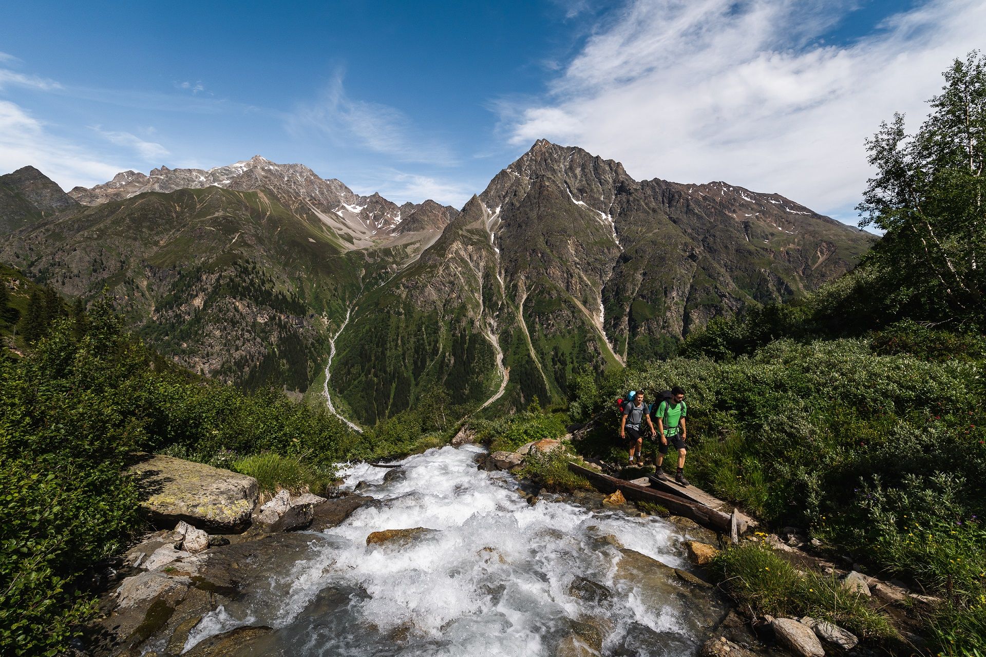
Hiking around Rifflsee offers access to high-alpine landscapes shaped by glacial origins, featuring towering peaks and expansive alpine meadows. The region is characterized by its prominent moraine reservoir, Rifflsee, situated at 2,232 meters, known for its greenish, glacier-turbid water. Hikers can explore a network of trails that traverse rocky slopes and provide panoramic views of surrounding glaciers and the Kaunergrat Ridge. This area provides diverse terrain for various hiking abilities, from gentle lakeside paths to challenging high-altitude routes.
Best bus station hiking trails around Rifflsee
- The most popular bus station hiking route is Rifflbach Waterfall – Riffelsee Circular Trail loop from Brandkogel, a 7.5 miles (12.0 km) trail that takes 4 hours 17 minutes to complete. This moderate route offers views of the Rifflbach Waterfall and circles the Riffelsee.
- Another top favourite among local hikers is Path at the Pitze – Pitztal Waterfall loop from Brandkogel, a moderate 4.7 miles (7.6 km) path. This route explores the area around the Pitze river and includes a waterfall feature.
- Local hikers also love the Riffelsee Circular Trail – Rifflsee Hut loop from Brandkogel, a 7.0 miles (11.3 km) trail leading through high-alpine terrain around the lake and to the Rifflsee Hut, often completed in about 4 hours 36 minutes.
- Hiking around Rifflsee is defined by high-alpine landscapes, glacial features, and expansive alpine meadows. The network offers options for easy, moderate, and difficult routes, catering to different ability levels.
- The routes in Rifflsee are highly rated by the komoot community with an average score of 4.7 stars from more than 2,600 reviews. More than 16,500 hikers have used komoot to explore Rifflsee's varied terrain.
Last updated: August 9, 2026
4.8
(292)
1,371
hikers
12.0km
04:17
620m
620m
Moderate hike. Good fitness required. Mostly accessible paths. Sure-footedness required.
4.6
(33)
270
hikers
6.16km
01:58
200m
200m
Moderate hike. Great for any fitness level. Mostly accessible paths. Sure-footedness required.

Sign up for free
4.8
(58)
311
hikers
11.3km
04:38
670m
670m
Moderate hike. Good fitness required. Mostly accessible paths. Sure-footedness required.
4.8
(24)
155
hikers
Easy hike. Great for any fitness level. Easily-accessible paths. Suitable for all skill levels.
4.4
(17)
72
hikers
5.58km
01:35
120m
120m
Easy hike. Great for any fitness level. Easily-accessible paths. Suitable for all skill levels.
Get access to more routes and recommendations from other explorers.
Sign up for free
Already have an account?
Our route recommendations are based on thousands of hikes, rides, and runs completed by other people on komoot.
Start today with a free account
Your next adventure awaits.
Login or Signup
Popular around Rifflsee
Other adventures around Rifflsee

Tips from the Community


Beautiful path to the Braunschweiger Hut
0
0

Please note: due to rockfall from this point towards the lift parking area, a detour along the road is recommended, but walking along the river is more enjoyable.
0
0

A nice short hike to reach the Gletscherstube and Pitze Waterfall with children. From the middle station to the Gletscherstube, it takes about 1 hour 15 minutes with smaller children.
0
0

The tour can be started south through the forest, or north over the bare mountain. With an outside temperature of 25 degrees Celsius, we chose the northbound route. A trip through the forest would have been better in this weather.
0
0

Frozen in winter, great view.
1
0

Beautiful panorama, nice walk and afterwards you can have a nice drink or meal in the restaurant there :-)
0
1
Frequently Asked Questions
How many hiking trails accessible from bus stations are there around Rifflsee?
There are over 50 hiking trails around Rifflsee that are easily accessible from local bus stations, offering a wide range of options for all skill levels.
Are there easy, family-friendly hikes accessible by bus around Rifflsee?
Yes, Rifflsee is known for its family-friendly options. The popular Rifflsee Circular Trail is an easy route around the lake, even manageable with a buggy. Another easy option accessible by bus is the Rifflsee Cable Car (Mandarfen) – Plangeross in the Pitztal loop from Brandkogel, which is just over 5 km long.
Can I find trails with waterfalls near Rifflsee that are reachable by public transport?
Absolutely. The region features several beautiful waterfalls. You can explore routes like the Rifflbach Waterfall – Riffelsee Circular Trail loop from Brandkogel, which is a moderate 12 km hike, or the Path at the Pitze – Pitztal Waterfall loop from Brandkogel, a moderate 7.6 km route, both offering stunning waterfall views.
What kind of terrain can I expect on bus-accessible hikes around Rifflsee?
The terrain around Rifflsee is predominantly high-alpine, shaped by its glacial origins. You'll encounter a mix of rocky slopes, expansive alpine meadows, and breathtaking vistas of towering peaks and glaciers. Even on easier trails, expect some uneven surfaces typical of mountain environments.
Are there any circular hiking routes from bus stations in the Rifflsee area?
Yes, many routes are designed as loops, allowing you to start and end at the same bus stop. A great example is the Riffelsee Circular Trail – Rifflsee Hut loop from Brandkogel, a moderate 11.2 km hike that takes you around the lake and past a mountain hut.
What are the best viewpoints or natural features to see on these trails?
Hikers are treated to panoramic views of towering peaks like Seekogel and Rostizkogel. The Rifflsee itself, with its mesmerizing greenish, glacier-turbid water, is a central feature. You'll also see expansive alpine meadows and distant glaciers such as the Tiefenbachferner, especially on higher-altitude routes.
Are there any challenging hikes accessible by bus for experienced hikers?
For more experienced hikers, there are challenging high-altitude paths. While specific difficult routes from bus stations are numerous, an example of a longer, more demanding hike in the area is the Fuldaer Höhenweg to Taschachhaus, which covers 18 km through high-alpine terrain. Always check the specific route details for difficulty and elevation.
What do other hikers enjoy most about the bus-accessible trails in Rifflsee?
The area is highly rated by the komoot community, with an average score of 4.7 stars from over 2,600 reviews. Reviewers often praise the stunning high-alpine scenery, the pristine mountain lake, and the accessibility of diverse trails directly from public transport stops.
Are there mountain huts or restaurants along the bus-accessible hiking trails?
Yes, you'll find convenient resting points. The Sunna Alm mountain restaurant is located at the Rifflseebahn cable car's mountain station, and the Riffelseehütte mountain hut also provides refreshments and Tyrolean delicacies amidst stunning views. These are often integrated into popular hiking loops.
Is the Rifflseebahn cable car accessible from a bus station, and does it help with hiking access?
Yes, the Rifflseebahn cable car is easily accessible from Mandarfen, which is served by local buses. The cable car provides comfortable and quick access up to 2,290 meters above sea level, bringing visitors directly to the lake and the starting points of many hikes, significantly reducing initial ascent efforts.
What is the typical duration for an easy hike from a bus station around Rifflsee?
Easy hikes, such as the Rifflsee Circular Trail or the Rifflsee Cable Car (Mandarfen) – Taschach Alpine Hut loop from Brandkogel (5.3 km), typically take between 1.5 to 2.5 hours to complete, depending on your pace and stops for enjoying the views.

Get inspired with the komoot mobile app


Explore more
Browse the best Hikes in other regions.
