The best dog-friendly hikes and walks around Rifflsee
4.6
(2841)
17,553
hikers
15
hikes
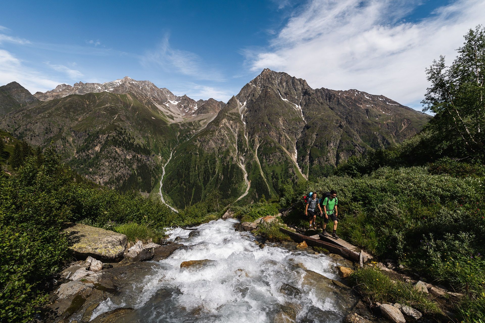
Dog friendly hiking trails around Rifflsee are set in a high-alpine environment within the Pitztal valley of Tyrol, Austria. The region features a glacial moraine lake at 2,232 meters above sea level, surrounded by the Ötztal Alps and the craggy peaks of the Kaunergrat Ridge. Hiking routes often begin above the tree line, offering unobstructed views of glaciers and mountain panoramas. The landscape is characterized by towering peaks, rocky slopes, and alpine meadows.
Best dog friendly hiking trails around Rifflsee
…Last updated: October 2, 2026
4.8
(8)
38
hikers
Hard hike. Good fitness required. Sure-footedness, sturdy shoes and alpine experience required.
4.6
(13)
97
hikers
Hard hike. Great for any fitness level. Sure-footedness, sturdy shoes and alpine experience required.

4.9
(174)
1,330
hikers
4.94km
02:28
380m
380m
Hard hike. Good fitness required. Sure-footedness, sturdy shoes and alpine experience required.
4.6
(10)
46
hikers
Moderate hike. Good fitness required. Mostly accessible paths. Sure-footedness required.
4.8
(6)
61
hikers
Hard hike. Great for any fitness level. Sure-footedness, sturdy shoes and alpine experience required.
Get access to more routes and recommendations from other explorers.
Already have an account?
Our route recommendations are based on thousands of hikes, rides, and runs completed by other people on komoot.
Start today with a free account
Your next adventure awaits.
Popular around Rifflsee
Other adventures around Rifflsee

Tips from the Community

And just like that, you're at the top.
1
0

In the early morning hours, the mountain panorama is beautifully reflected in the small lake.
0
0

Please note: The descent from the Pitztaler Jöchl to the Rettenbach Glacier Cable Car has been rerouted. No longer follow the route as on komoot.
0
0

Small, narrow chapel at an altitude of 2850 meters above sea level.
1
0

Crossing the Pitztaler Jöchl is clearly one of the highlights of crossing the Alps on the E 5. A head for heights and surefootedness are essential. Weatherproof clothing - even in summer, temperatures here at 2,995 m are often around freezing.
1
0

The Ollweite Line begins here at the lake
4
0
Bike Republic Sölden: “Ollweite” usually in conjunction with “auf”: af Ollweite. In the Ötztal dialect, Ollweite means in the open air, in open terrain, outside the yard, somewhere outside. The line starts below the Langegg mountain station at 2,600 m, ends at the Hühnersteign and, at 7 km, is one of the longest lines in the Republic. It is physically demanding and extremely varied with cool berms, slightly blocked stone fields and wooden structures.
3
0

A really great rustic hut with a great view. It's also worth taking a short hike. It's about an hour there and back to Schwarzsee
1
0
Frequently Asked Questions
How many dog-friendly hiking trails are available around Rifflsee?
There are over 15 dog-friendly hiking trails around Rifflsee, ranging from moderate to difficult, offering diverse experiences for you and your canine companion in the high-alpine environment.
What are the general regulations for hiking with dogs around Rifflsee?
While specific regulations can vary, it's generally recommended to keep your dog on a leash, especially in high-alpine areas where wildlife is present and near grazing livestock. Always carry waste bags and ensure your dog has enough water, as many trails are above the tree line with limited natural shade or water sources.
Are there any easy dog-friendly walks around Rifflsee?
Yes, for a more leisurely experience, the Rifflsee circular hiking trail is an excellent option. This comfortable path loops around the lake and is even manageable with a buggy, making it suitable for a relaxed walk with your dog. A turnoff from this trail also leads to the smaller Hidden Lake.
What kind of terrain can I expect on dog-friendly hikes in the Rifflsee area?
The Rifflsee area is characterized by a stunning high-alpine landscape. Trails often feature rocky slopes, alpine meadows, and panoramic views. Since many trails begin above the tree line at approximately 2,200 meters, expect open terrain with breathtaking vistas of the Ötztal Alps and Kaunergrat Ridge.
Are there any dog-friendly loop trails with scenic views?
Absolutely. For a challenging loop with incredible glacier views, consider the View of the Karles Glacier – Braunschweiger Hut loop from Tunnelbahn Gletscherexpress Bergstation. This difficult 7.6 km route offers stunning high-alpine scenery. Another option is the Braunschweiger Hut – Pitztal Col loop from Rettenbachferner, a difficult 4.9 km trail with significant elevation gain and descent.
What is the best time of year to hike with my dog around Rifflsee?
The best time for hiking in the high-alpine Rifflsee region is typically from late spring to early autumn (June to September) when the trails are clear of snow and the weather is most stable. Always check current weather conditions and trail status before heading out, especially with a dog.
Are there any dog-friendly cafes or restaurants near the hiking trails?
The Sunna Alm mountain restaurant, located at the Rifflseebahn mountain station, is a popular spot. It offers Tyrolean delicacies and a large sun terrace, making it a convenient place for a refreshment stop. Many mountain restaurants in Austria are dog-friendly, but it's always a good idea to confirm beforehand or look for outdoor seating options.
How accessible are the starting points for dog-friendly hikes?
Many trails are easily accessible via the Rifflseebahn cable car, which takes you directly from Mandarfen to the lake and the Sunna Alm. This allows you to comfortably reach the higher starting points without a strenuous ascent, making it convenient for hikers with dogs.
What do other hikers enjoy most about the dog-friendly trails around Rifflsee?
The dog-friendly trails around Rifflsee are highly rated by the komoot community, with an average score of 4.7 stars. Reviewers often praise the breathtaking high-alpine scenery, the well-maintained paths, and the unique experience of hiking above the tree line with panoramic views of glaciers and mountain peaks.
Are there any challenging dog-friendly routes for experienced hikers?
Yes, for experienced hikers and their dogs, there are several challenging options. The Pitze Waterfall – Braunschweiger Hut loop from Wurmsitzkogel is a difficult 10.1 km route with significant elevation changes, offering a rewarding high-alpine adventure. Another demanding option is the Braunschweiger Hut – View of the Karles Glacier loop from Rettenbachferner, a difficult 3 km trail that still provides a good workout and stunning views.
What natural features can I expect to see on dog-friendly hikes?
You and your dog will encounter a wealth of natural beauty. The centerpiece is the crystal-clear, greenish water of the Rifflsee itself, a glacial moraine lake. You'll also see towering peaks like Mt. Seekogel and Mt. Rostizkofel, rocky slopes, and lush alpine meadows. The region's glacial origins mean panoramic views of surrounding glaciers are common.
Are there any specific trails that offer views of waterfalls?
Yes, for those interested in waterfalls, the Pitze Waterfall – Braunschweiger Hut loop from Wurmsitzkogel is a difficult 10.1 km hike that specifically highlights the Pitze Waterfall, offering a dramatic natural spectacle along the route.
Most popular routes around Rifflsee

Get inspired with the komoot mobile app


Explore more
Browse the best Hikes in other regions.
