The best hikes from bus stations around Turrachsee
4.7
(4264)
23,163
hikers
22
hikes
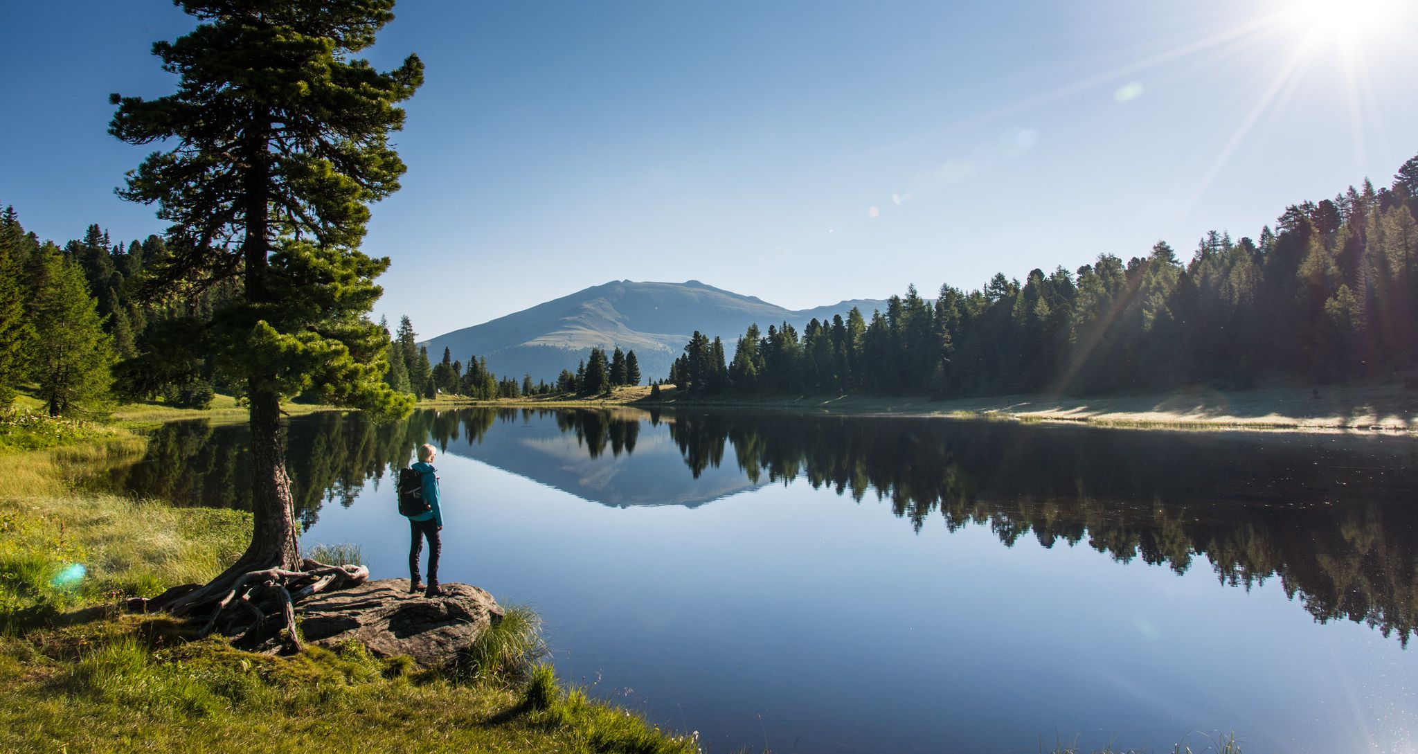
Hiking around Turrachsee, situated at approximately 5,784 feet (1,763 meters) above sea level, offers a diverse alpine landscape within the Nockberge mountains. The region features three mountain lakes—Turrachsee, Schwarzsee, and Grünsee—surrounded by extensive stone pine and larch forests. The Nockberge mountains are characterized by gently rounded ridges and peaks, providing varied terrain for exploration.
Best bus station hiking trails around Turrachsee
- The most popular bus station hiking route is Turracher See – Hochmoor Trail loop from Turracher Höhe, a 4.6 miles (7.4 km) trail that takes 2 hours 4 minutes to complete. This moderate route leads through varied terrain including high moorland and forest.
- Another top favourite among local hikers is Panoramic view from Kornock – Fascinating mountain panorama loop from Turracher Höhe, a difficult 7.8 miles (12.5 km) path. This trail offers expansive views of the Nockberge mountains.
- Local hikers also love the Schwarzsee (Turrach Heights) – Schoberriegel Summit loop from Turracher Höhe, an 8.0 miles (13.0 km) trail leading through alpine scenery, often completed in about 4 hours 21 minutes. This moderate route ascends to the Schoberriegel summit, providing panoramic vistas.
- Hiking around Turrachsee is defined by serene mountain lakes, extensive stone pine forests, and gently rounded alpine ridges. The network offers options for various ability levels, from leisurely walks to more challenging summit ascents.
- The routes in Turrachsee are highly rated by the komoot community with an average score of 4.7 stars from more than 3,800 reviews. More than 21,000 hikers have used komoot to explore Turrachsee's varied terrain.
Last updated: August 22, 2026
4.8
(830)
3,724
hikers
7.41km
02:05
150m
150m
Moderate hike. Good fitness required. Easily-accessible paths. Suitable for all skill levels.
4.7
(75)
447
hikers
Hard hike. Good fitness required. Sure-footedness, sturdy shoes and alpine experience required.

Sign up for free
4.8
(36)
134
hikers
Moderate hike. Good fitness required. Mostly accessible paths. Sure-footedness required.
4.9
(11)
61
hikers
Hard hike. Very good fitness required. Mostly accessible paths. Sure-footedness required.
4.8
(10)
50
hikers
14.1km
04:54
640m
640m
Moderate hike. Good fitness required. Mostly accessible paths. Sure-footedness required.
Get access to more routes and recommendations from other explorers.
Sign up for free
Already have an account?
Our route recommendations are based on thousands of hikes, rides, and runs completed by other people on komoot.
Start today with a free account
Your next adventure awaits.
Login or Signup


Tips from the Community

Very beautiful trail along lush meadows. If you're a little lucky, you'll see the marmots.
0
0

There are beautiful hikes there, e.g. the 3 Lakes Trail.
1
0

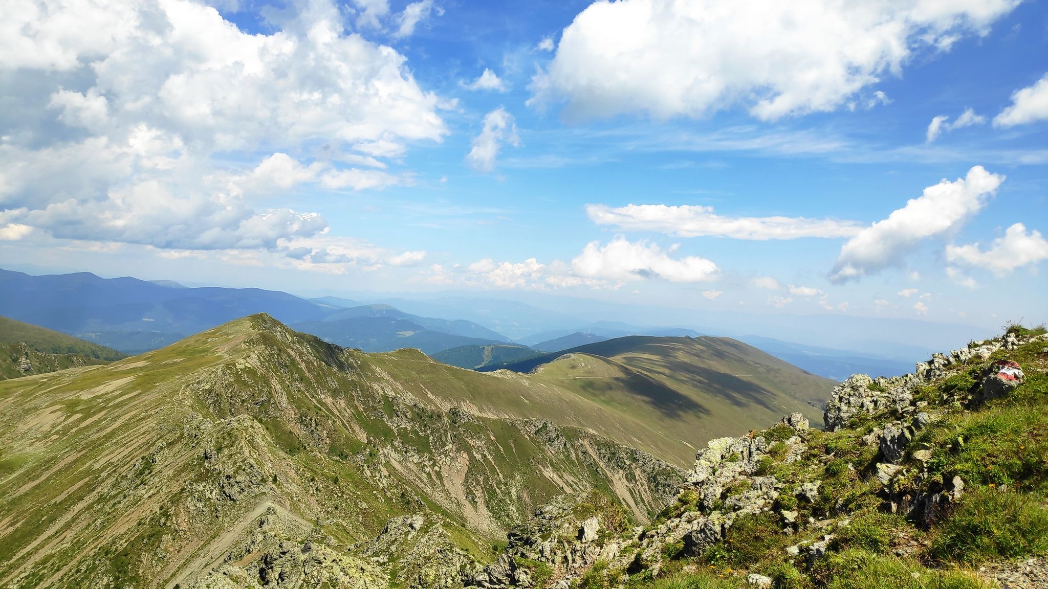
The Schoberriegel is a 2,208 m (7,208 ft) high mountain located on the border of the municipalities of Reichenau and Albeck on the Turracher Höhe in the Gurktal Alps. The western and eastern flanks are steep and rocky. A gently sloping ridge leads to the summit from the north. To the south, the ridge leads to the summit of the Gruft. It is a popular hiking mountain due to its beautiful views of the Nockberge Mountains and the Turracher Höhe. A summit cross with a summit register is located at the summit.
1
0

This is a wonderful place to unwind. Before breakfast or after dinner, you're practically alone.
2
0
Done. Refill fluids, sign the summit log, and back down
2
0


...the Turracher Höhe is a beautiful hiking area with wonderful views! 🥾❄️🚡👀
3
0
Frequently Asked Questions
How many bus-accessible hiking trails are available around Turrachsee?
There are 22 hiking trails around Turrachsee that are easily accessible from bus stations. These routes offer a variety of experiences, from leisurely strolls to more challenging mountain ascents.
What types of terrain and difficulty levels can I expect on bus-accessible hikes in the Turrachsee region?
The Turrachsee region offers a diverse range of terrain, from gentle paths around the lakes to more rugged alpine trails. Among the bus-accessible routes, you'll find 4 easy trails, 9 moderate trails, and 9 difficult trails, ensuring options for various fitness levels and preferences.
Are there any family-friendly hiking trails accessible by bus around Turrachsee?
Yes, the region is very family-friendly. The View of the Grünsee – Green Lake loop from Turracher Höhe is an easy, shorter option perfect for families. The wider Turrachsee area also features interactive trails like the 3-Lakes Trail, which has unique resting areas and sensory experiences, making it enjoyable for all ages.
Can I bring my dog on the bus-accessible hiking trails in Turrachsee?
Many trails in the Turrachsee region are dog-friendly, but it's always recommended to keep your dog on a leash, especially in nature protection areas and near livestock. Always carry water for your pet and be mindful of other hikers and wildlife. Specific rules for public transport with dogs may apply, so check local bus regulations.
What natural features and landmarks can I see along the bus-accessible hiking routes?
The bus-accessible routes offer stunning views of the region's natural beauty. You can explore the three picturesque mountain lakes: Turrach Lake, Schwarzsee, and Grünsee. Many trails also lead through Europe's largest continuous stone pine and larch forests. For a unique experience, consider the Turracher See – Hochmoor Trail loop from Turracher Höhe, which takes you through a high moor landscape.
What is the best time of year to hike the bus-accessible trails around Turrachsee?
The best time for hiking around Turrachsee is generally from late spring to early autumn (May to October). During this period, the weather is most favorable, and all trails are typically free of snow. The stone pine and larch forests are particularly beautiful in autumn with their vibrant colors.
Are there any circular hiking routes that start and end at a bus station?
Yes, many of the bus-accessible trails are circular routes, allowing you to return to your starting point without retracing your steps. Examples include the Turracher See – Hochmoor Trail loop from Turracher Höhe and the Schwarzsee (Turrach Heights) – Schoberriegel Summit loop from Turracher Höhe, both offering diverse scenery.
Can I reach higher altitudes and panoramic viewpoints using bus-accessible trails?
Absolutely. While starting from a bus station, you can still access routes that lead to impressive viewpoints. For instance, the Panoramic view from Kornock – Fascinating mountain panorama loop from Turracher Höhe offers extensive vistas of the Nockberge mountains. Cable cars like the Panoramabahn and Kornockbahn, often accessible from bus stops, can also provide a convenient ascent to higher starting points for hikes.
What do other hikers enjoy most about hiking in Turrachsee?
The Turrachsee region is highly rated by the komoot community, with an average score of 4.67 stars. Reviewers often praise the stunning alpine scenery, the tranquility of the mountain lakes, and the well-maintained trails through the unique stone pine forests. The accessibility of diverse routes from public transport points is also frequently highlighted.
Are there any cafes or restaurants near the bus stops for hikers?
Yes, the Turracher Höhe area, where many bus stops are located, offers several amenities. You'll find cafes and restaurants, such as Bauernstube, where you can refuel before or after your hike. These establishments are typically within easy walking distance of the main bus stops.
Are there any less crowded bus-accessible hikes for a more peaceful experience?
While popular routes like the 3-Lakes Trail can see more visitors, exploring trails that venture slightly further from the main Turracher Höhe hub, or choosing routes with a 'moderate' or 'difficult' rating, can often lead to a more secluded experience. Early mornings or late afternoons can also offer more tranquility on any trail.
Most popular routes around Turrachsee
Most popular attractions around Turrachsee

Get inspired with the komoot mobile app


Explore more
Browse the best Hikes in other regions.
