The best road cycling routes around Turrachsee
5.0
(7)
691
riders
17
rides
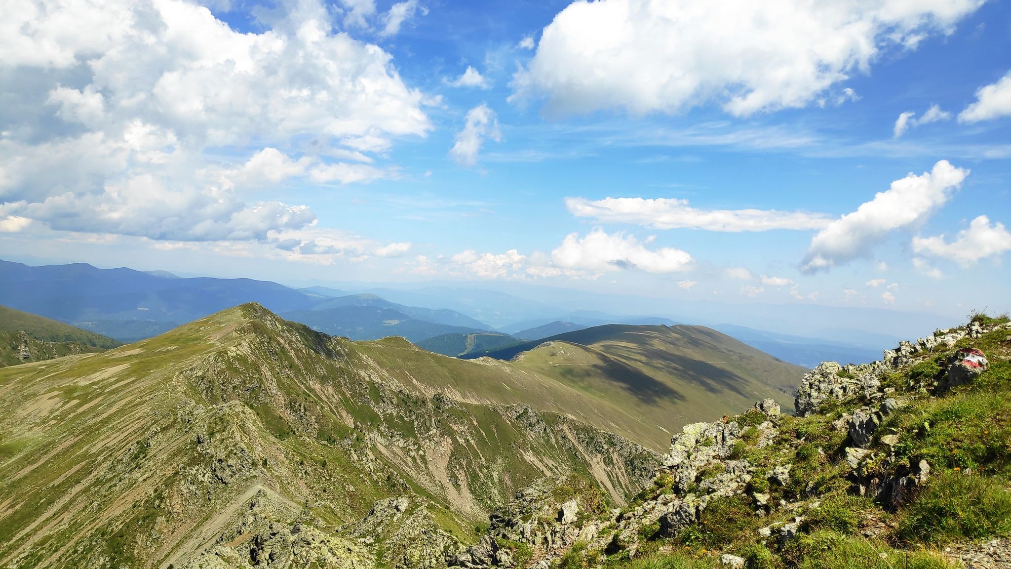
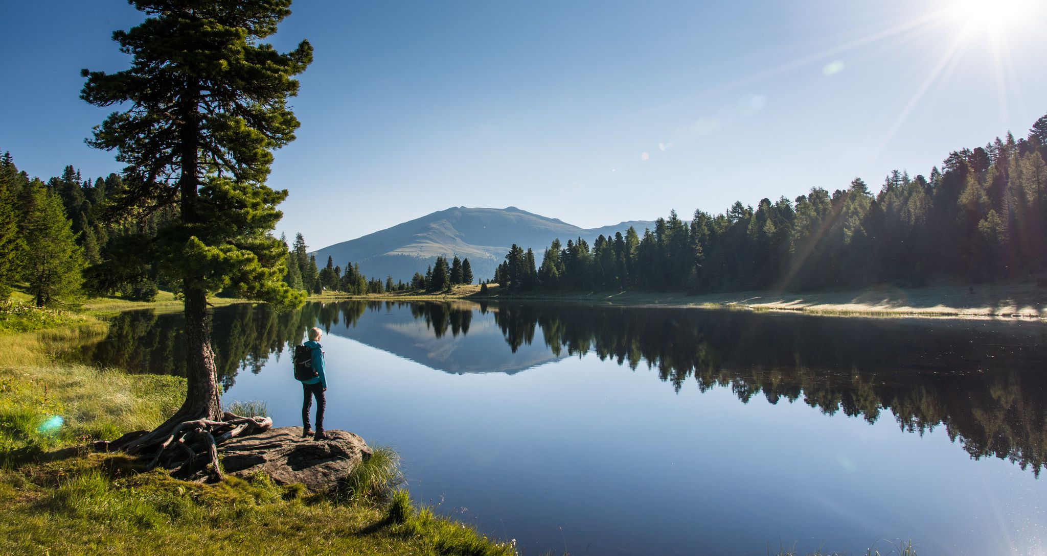
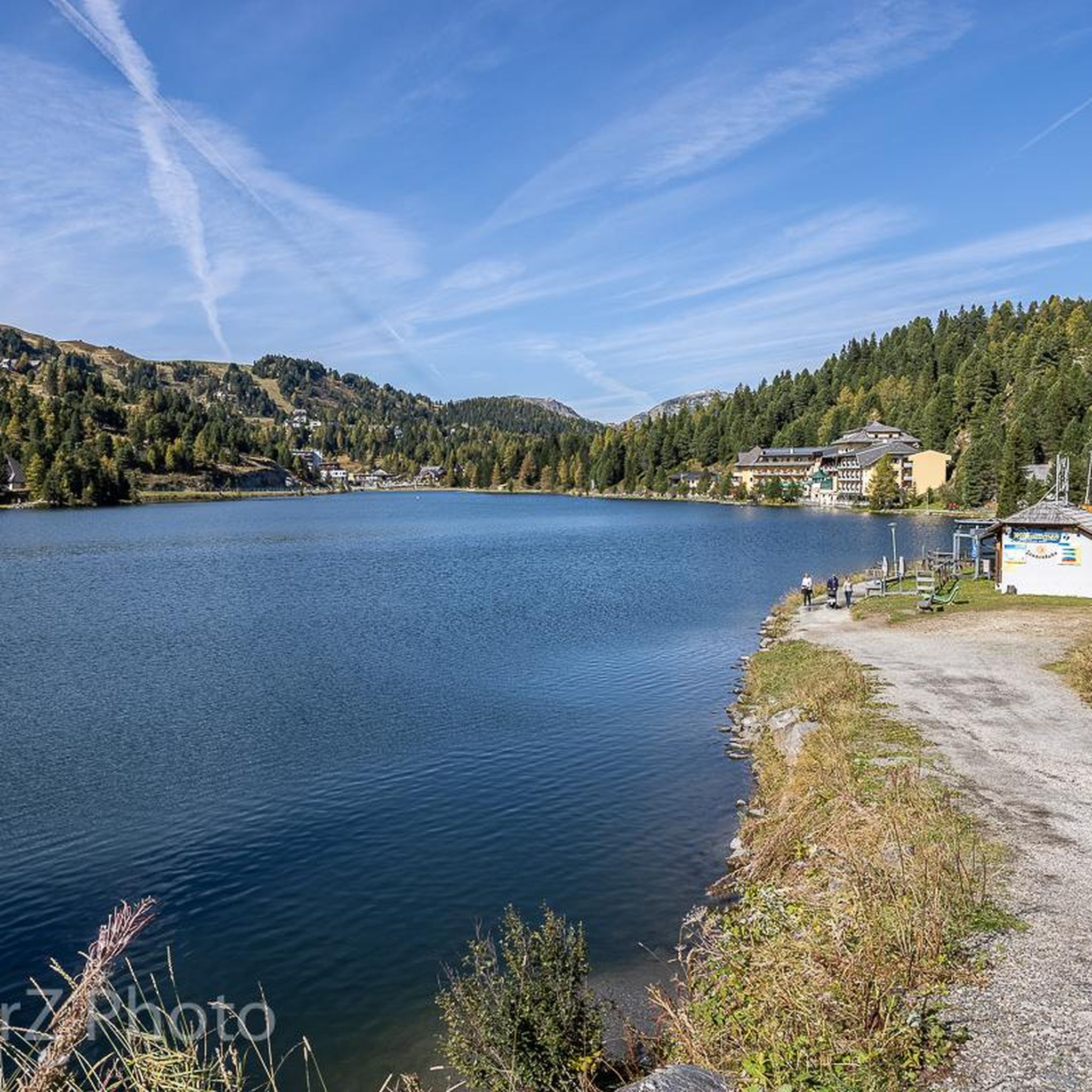
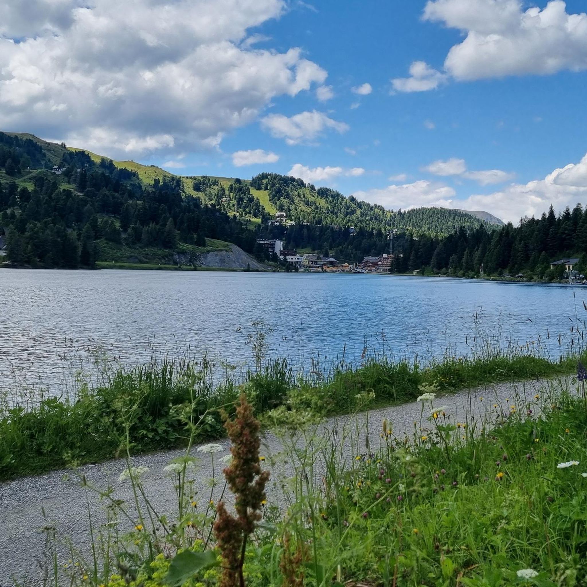
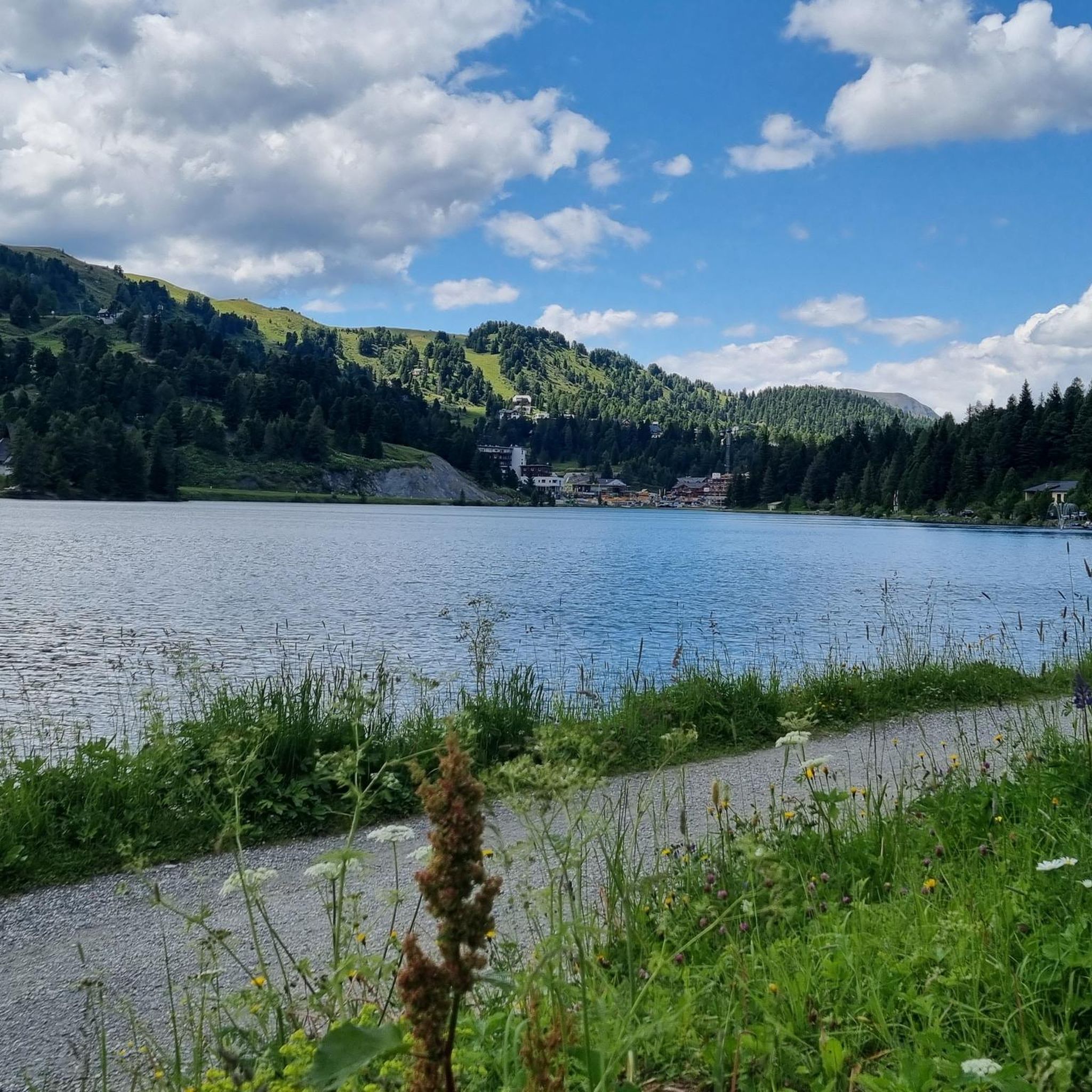
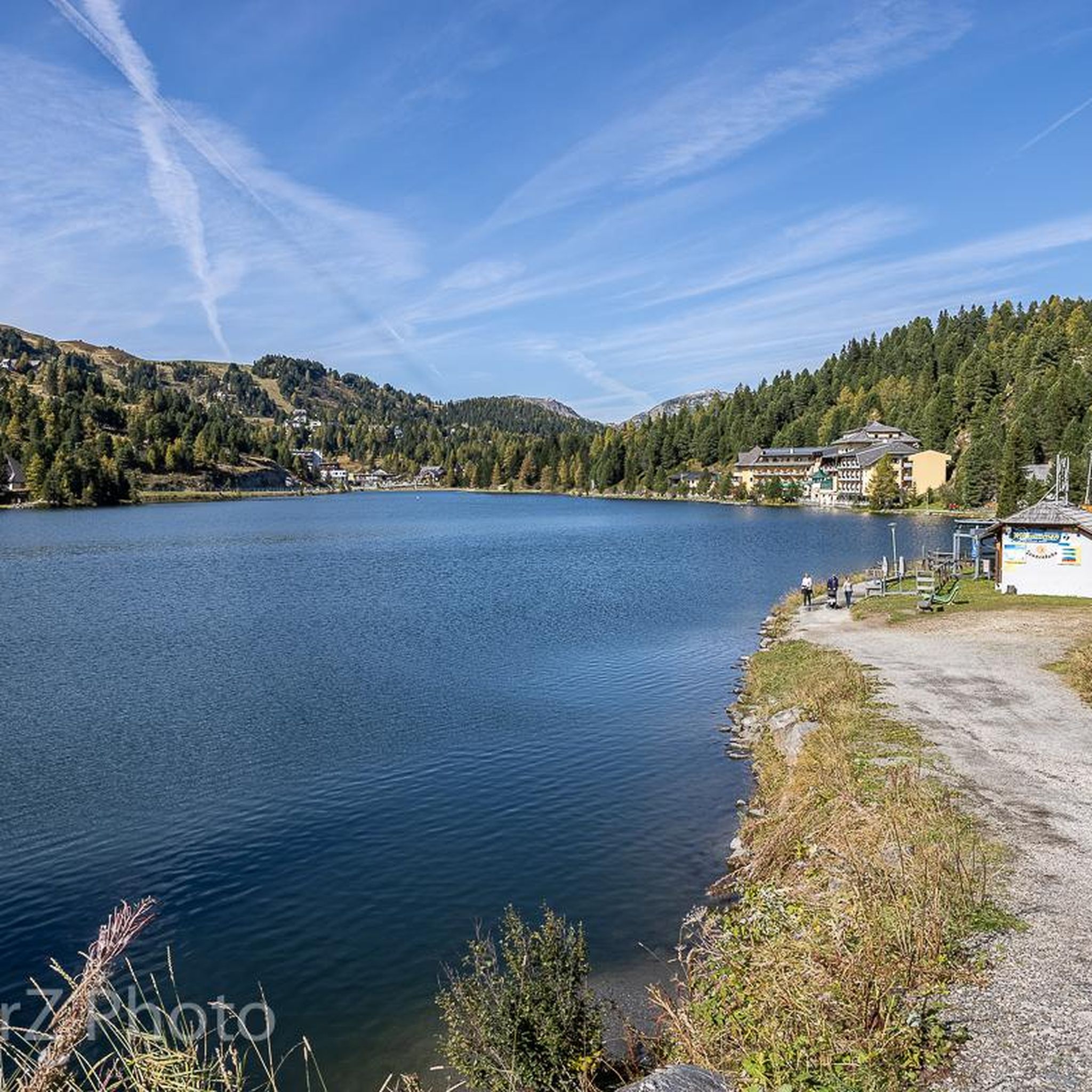
Road cycling routes around Turrachsee are situated at 1,763 meters above sea level, offering an alpine environment on the border between Carinthia and Styria. The region is characterized by the Nockberge mountains, featuring significant elevation gains and well-paved surfaces. Turrachsee itself is a clear mountain lake surrounded by stone pine forests and alpine pastures, providing a high-altitude setting for road cycling.
Best road cycling routes around Turrachsee
- The most popular road cycling route is Turracher Höhe 23% Climb – Nockalmstraße Entrance loop from Turracher Höhe, a 24.2 miles (39.0 km) trail that takes 2 hours 58 minutes to complete. This difficult route features substantial elevation gain and panoramic views of the Nockberge mountains.
- Another top favourite among local road cyclists is Kornockbahn Valley Station – Turracher Höhe Pass loop from Turracher Höhe, a difficult 29.5 miles (47.4 km) path. This route offers a challenging ride through the high alpine landscape with varied gradients.
- Local road cyclists also love the Turrach Lake – Turracher Höhe 23% Climb loop from Turracher Höhe, a 10.1 miles (16.3 km) trail leading through the high-altitude terrain, often completed in about 1 hour 18 minutes.
- Road cycling around Turrachsee is defined by high-altitude alpine landscapes, the Nockberge mountains, and stone pine forests. The network offers options for moderate to very challenging ability levels.
- The routes in Turrachsee are highly rated by the komoot community with an average score of 5.0 stars from over 6 reviews. More than 600 road cyclists have used komoot to explore Turrachsee's varied terrain.
Last updated: July 9, 2026
53
riders
39.3km
02:59
1,620m
1,620m
Hard road ride. Very good fitness required. Some segments of this route may be unpaved and difficult to ride.
5.0
(1)
23
riders
48.2km
02:37
920m
920m
Hard road ride. Very good fitness required. Mostly well-paved surfaces and easy to ride.

Sign up for free
8
riders
19.5km
01:30
800m
800m
Moderate road ride. Good fitness required. Mostly well-paved surfaces and easy to ride.
19
riders
74.9km
03:36
850m
850m
Moderate road ride. Good fitness required. Mostly well-paved surfaces and easy to ride.
9
riders
82.3km
04:12
1,250m
1,250m
Hard road ride. Very good fitness required. Some segments of this route may be unpaved and difficult to ride.
Get access to more routes and recommendations from other explorers.
Sign up for free
Already have an account?
Our route recommendations are based on thousands of hikes, rides, and runs completed by other people on komoot.
Start today with a free account
Your next adventure awaits.
Login or Signup
Popular around Turrachsee


Tips from the Community

Step by step, you get closer to the goal
0
0
from here you have a great view over the entire area
0
0

And for a certain fee, you can also get a guided tour during the day.
8
0

...when driving along the Nockalm Road, you should definitely take a detour here! 🥾👀
1
0

Great road in a magnificent landscape. Moderate incline.
0
0


The climb up Turracher Höhe from Predlitz starts off relatively leisurely. But don't let that fool you and pace yourself carefully – it gets tough towards the end, with gradients of up to 11 percent (although they feel more like 13 percent).
0
0
Frequently Asked Questions
How many road cycling routes are available around Turrachsee?
There are over 15 road cycling routes available around Turrachsee, catering to various fitness levels. You'll find options ranging from moderate to very challenging, all set within the stunning alpine environment.
What is the typical terrain and difficulty level for road cycling around Turrachsee?
The terrain around Turrachsee is characterized by high-altitude alpine landscapes and the Nockberge mountains, featuring significant elevation gains. Routes often include challenging climbs and descents on well-paved surfaces, offering breathtaking panoramic views. You can find routes rated from moderate to very difficult.
What natural features or landmarks can I expect to see while road cycling around Turrachsee?
While road cycling, you'll encounter the crystal-clear Turrach Lake, the picturesque Nockberge mountains, and Europe's largest continuous stone pine forest. The region also features blooming alpine pastures and the beautifully situated Christophorus Mountain Church on the lake shore.
Are there any particularly challenging climbs for experienced road cyclists?
Yes, for experienced road cyclists seeking a challenge, the region offers routes with significant climbs. A notable example is the Turracher Höhe 23% Climb – Nockalmstraße Entrance loop, which features substantial elevation gain over its 39.0 km distance, providing a demanding ride with panoramic rewards.
Are there any easier road cycling routes suitable for beginners or less experienced riders?
While many routes involve significant climbing, there are moderate options available. For instance, the Turrach Lake – Turracher Höhe 23% Climb loop, at 16.3 km, offers a taste of the high-altitude terrain with a moderate difficulty rating, making it more accessible than some of the longer, more strenuous rides.
What do other road cyclists enjoy the most about road cycling in Turrachsee?
The komoot community highly rates road cycling in Turrachsee, with an average score of 5.0 stars. Cyclists frequently praise the magnificent alpine landscapes, the challenging yet rewarding climbs, and the stunning panoramic views of the Nockberge mountains that accompany many of the routes.
What are the typical distances of road cycling routes in the Turrachsee region?
Road cycling routes around Turrachsee vary in length. You can find shorter loops, such as the Turracher Höhe Pass loop at 11.5 km, to longer, more demanding rides like the Madling Gorge – Tamsweg Market Square loop, which covers over 81 km.
Are most road cycling routes around Turrachsee circular?
Yes, many of the road cycling routes in the Turrachsee region are designed as loops, allowing you to start and finish at the same point. This includes popular options like the Kornockbahn Valley Station – Turracher Höhe Pass loop, which offers a challenging ride through the high alpine landscape.
When is the best time of year to go road cycling around Turrachsee?
The best time for road cycling around Turrachsee is typically from late spring through early autumn. During these months, the weather is generally favorable, with clear mountain air, blooming alpine pastures, and accessible roads. The high-altitude location provides a refreshing atmosphere, ideal for cycling.
Are there any places to eat or drink near the road cycling routes?
Yes, the Turrachsee region offers options for refreshments. You can find places like the Bauernstube, which is a restaurant, and other cafes and accommodations in the area where you can refuel after your ride.
Is there parking available for road cyclists at the trailheads?
While specific parking details for every trailhead are not provided, Turrachsee is a well-known tourist destination. It is generally possible to find parking in the vicinity of popular starting points, especially in areas like Turracher Höhe, which serves as a common base for many routes.
Most popular routes around Turrachsee
Most popular attractions around Turrachsee

Get inspired with the komoot mobile app


Explore more
Browse the best Road cycling routes in other regions.
