The best hikes from bus stations around Tappenkarsee
4.8
(5222)
28,142
hikers
51
hikes
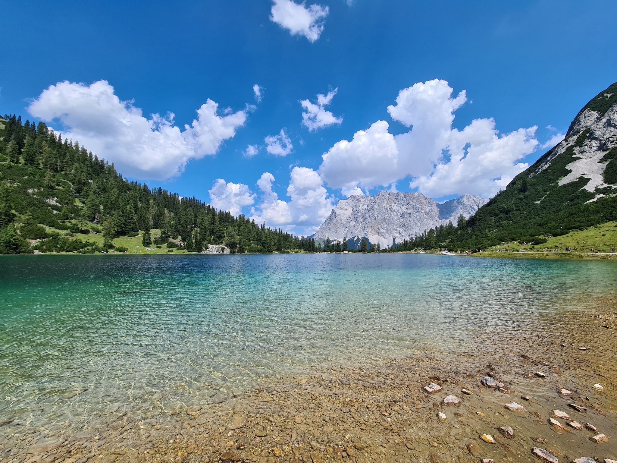
Bus station hiking trails around Tappenkarsee are situated in the Austrian Alps, centered around a large mountain lake at an elevation of 1,762 meters. The region is characterized by steep rock faces, rugged mountain peaks, and gentle mountain ridges. Ascents often lead through dense forests and lush alpine meadows, with mountain slopes rising dramatically to approximately 2400 meters above the lake.
Best bus station hiking trails around Tappenkarsee
- The most popular bus station hiking route is Riedingbachtal Valley – Königalm…
Last updated: May 17, 2026
5.0
(5)
20
hikers
8.77km
03:56
510m
510m
Moderate hike. Good fitness required. Mostly accessible paths. Sure-footedness required.
4.9
(8)
75
hikers
9.25km
04:35
680m
680m
Moderate hike. Good fitness required. Mostly accessible paths. Sure-footedness required.

Sign up for free
5.0
(1)
11
hikers
Moderate hike. Good fitness required. Mostly accessible paths. Sure-footedness required.
5.0
(2)
6
hikers
Moderate hike. Good fitness required. Mostly accessible paths. Sure-footedness required.
10
hikers
11.5km
05:41
860m
860m
Hard hike. Very good fitness required. Mostly accessible paths. Sure-footedness required.
Get access to more routes and recommendations from other explorers.
Sign up for free
Already have an account?
Our route recommendations are based on thousands of hikes, rides, and runs completed by other people on komoot.
Start today with a free account
Your next adventure awaits.
Login or Signup
Popular around Tappenkarsee
Other adventures around Tappenkarsee

Tips from the Community

Very nice view, good surefootedness necessary
0
0

The Tappenkarseehütte is located just above the lake of the same name and is an ÖAV hut. In summer, it's a popular destination, including for overnight stays. We even managed to get a spot in the camp at short notice, but it was completely full. Because it was so crowded, everything felt a bit like a mass processing operation. Unfortunately, we didn't get the famous Kaiserschmarrn in the evening either; it's only available during the day. There are few vegetarian options, and no (posted) mountaineering food.
1
0

Sure-footedness and a head for heights are required. Many edelweiss flowers are found along the trail.
0
0

If you're a hiker whose heart doesn't melt here...☺️
11
0
Here you are literally encouraged to try it... I survived it too
10
0
Very attractive hilly landscape over several gently rolling slopes
11
0
Currently closed on Tuesdays... the valley bus ends here
11
0
Beautiful little lake right at a crossroads on the mountain, here you turn off to Tappenkarsee
9
0
Frequently Asked Questions
How many bus station hiking trails are available around Tappenkarsee?
There are over 50 hiking routes around Tappenkarsee that are easily accessible from bus stations. These trails offer a wide range of experiences, from leisurely strolls to challenging alpine ascents, all starting conveniently from public transport stops.
Are there easy hiking options accessible by bus for beginners or families?
Yes, Tappenkarsee offers several easy hiking options perfect for beginners or families. There are 9 easy routes available, often leading through lush alpine meadows and forests. While specific easy routes from bus stations are not detailed here, you can find suitable options by exploring the full guide.
What kind of landscapes can I expect on bus-accessible hikes around Tappenkarsee?
Hikes accessible by bus around Tappenkarsee showcase a diverse range of landscapes. You'll typically traverse dense forests, ascend through vibrant alpine meadows, and encounter captivating waterfalls. As you gain elevation, the scenery opens up to rugged mountain peaks and the stunning, deep blue or emerald-green Tappenkarsee itself, framed by dramatic rock faces.
Are there any circular routes that start and end at a bus station?
Yes, several circular routes are available that are convenient for bus travelers. For example, the moderate Riedingbachtal Valley – Königalm loop from Schiereck offers a varied experience, bringing you back to your starting point. Another option is the Zauneralm – Königalm loop from Schiereck, also a moderate circular hike.
What are the best times of year to hike around Tappenkarsee using public transport?
The best time to hike around Tappenkarsee is generally from June to September. During these months, the Tappenkarseealm and Tappenkarsee Hut are staffed, offering refreshments and rest. The trails are typically clear of snow, and the alpine flora is in full bloom. Public transport services to trailheads are also most frequent during this period.
Are there any huts or places to get refreshments along the bus-accessible trails?
Yes, upon reaching the Tappenkarsee, you'll find the Tappenkarseealm and the Tappenkarsee Hut. Both are typically staffed from June to September, providing opportunities for rest and refreshments. These are excellent spots to refuel during or after your hike.
Can I bring my dog on these bus-accessible hiking trails?
Generally, dogs are welcome on hiking trails in the Tappenkarsee region. However, it's crucial to keep them on a leash, especially in alpine pastures where livestock may be present, and to respect local regulations regarding protected areas. Always ensure your dog is well-behaved and that you carry waste bags.
What are some notable viewpoints or natural features to look out for?
Beyond the stunning Tappenkarsee itself, which is a major highlight, keep an eye out for the numerous waterfalls you'll pass during ascents. The region is also known for its rich alpine flora. From higher points, you can enjoy panoramic views of the surrounding rugged mountain peaks, some reaching up to 2400 meters.
How challenging are the bus-accessible hikes around Tappenkarsee?
The bus-accessible hikes around Tappenkarsee range from easy to difficult. There are 9 easy routes, 31 moderate routes, and 13 difficult routes. For instance, the Tappenkarsee Hut – Königalm loop from Schiereck is a challenging option, while the Lake at the Trail Junction – Königalm loop from Schiereck offers a moderate experience.
What do other hikers enjoy most about the Tappenkarsee region?
The Tappenkarsee region is highly rated by the komoot community, with an average score of 4.76 stars from over 5,000 ratings. Reviewers often praise the breathtaking natural beauty, the crystal-clear mountain lake, and the diverse trails that cater to various fitness levels. The convenience of accessing trails via bus is also frequently highlighted.
Are there any longer, more challenging hikes from bus stations?
Yes, for experienced hikers seeking a challenge, there are difficult routes accessible by bus. An example is the Two lakes hike: Jägersee and Tappenkarsee, which covers a significant distance and elevation, offering a rewarding alpine experience. This route allows you to explore both Jägersee and the higher Tappenkarsee.
Most popular routes around Tappenkarsee

Get inspired with the komoot mobile app


Explore more
Browse the best Hikes in other regions.
