Attractions and Places To See around Parc Natural Comunal de les Valls del Comapedrosa - Top 19
Best attractions and places to see around Parc Natural Comunal de les Valls del Comapedrosa. This natural park, located in the Pyrenees in north-west Andorra, is the largest in the country, covering 15.42 square kilometers. It features a high-mountain landscape characterized by majestic peaks, tranquil glacial lakes, and rugged terrain. The park's diverse ecological zones range from dense white birch groves to high-altitude shrub zones.
Best attractions and places to see around Parc Natural Comunal de les Valls del Comapedrosa
…Last updated: July 7, 2026
Coma Pedrosa Summit
Highlight • Summit
Showing Translation
Tip by

Black Lake of Comapedrosa
Highlight • Lake
Translated by Google •
Tip by

Sign up now to discover places like this
Get recommendations on the best single tracks, peaks, & plenty of other exciting outdoor places.
Sign up for free
Comapedrosa Refuge
Highlight • Mountain Hut
Translated by Google •
Tip by

Pla de l'Estany
Highlight • Lake
Translated by Google •
Tip by

Forest scenery in the Comapedrosa Valley
Highlight • Forest
Translated by Google •
Tip by

Sign up for free to discover even more attractions around Parc Natural Comunal de les Valls del Comapedrosa.
Sign up for free
Already have an account?
Start today with a free account
Your next adventure awaits.
Login or Signup
Popular around Parc Natural Comunal de les Valls del Comapedrosa
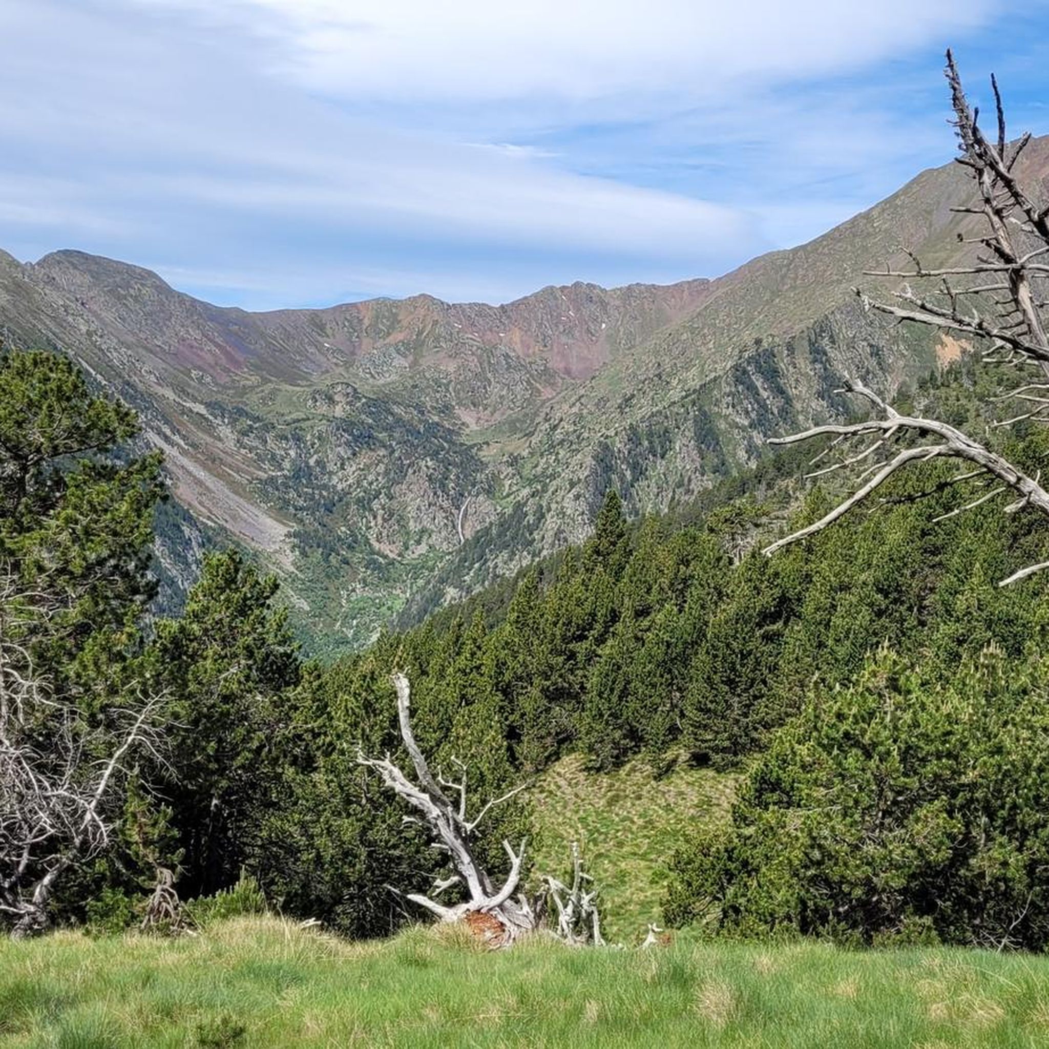
Hiking around Parc Natural Comunal de les Valls del Comapedrosa
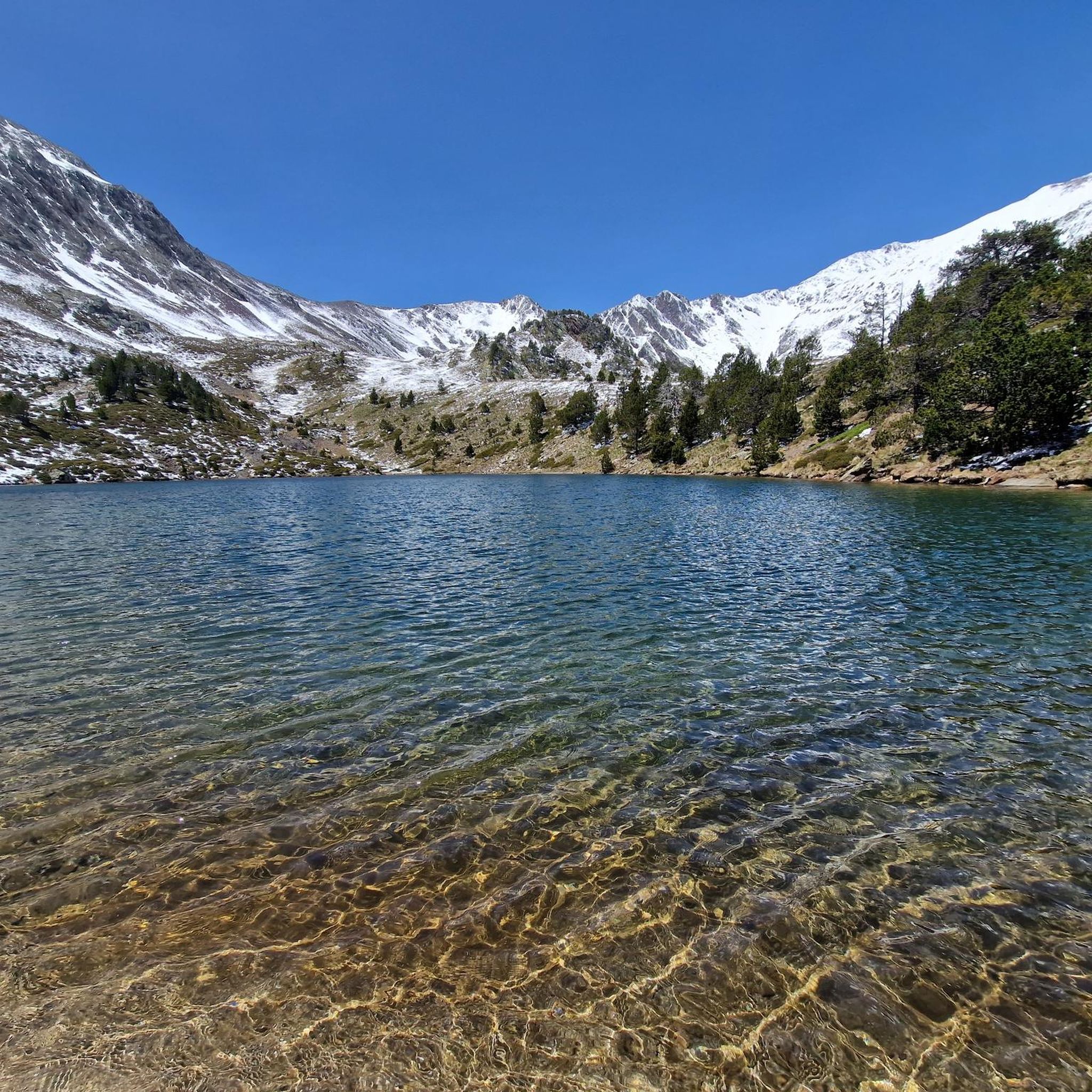
Running Trails around Parc Natural Comunal de les Valls del Comapedrosa
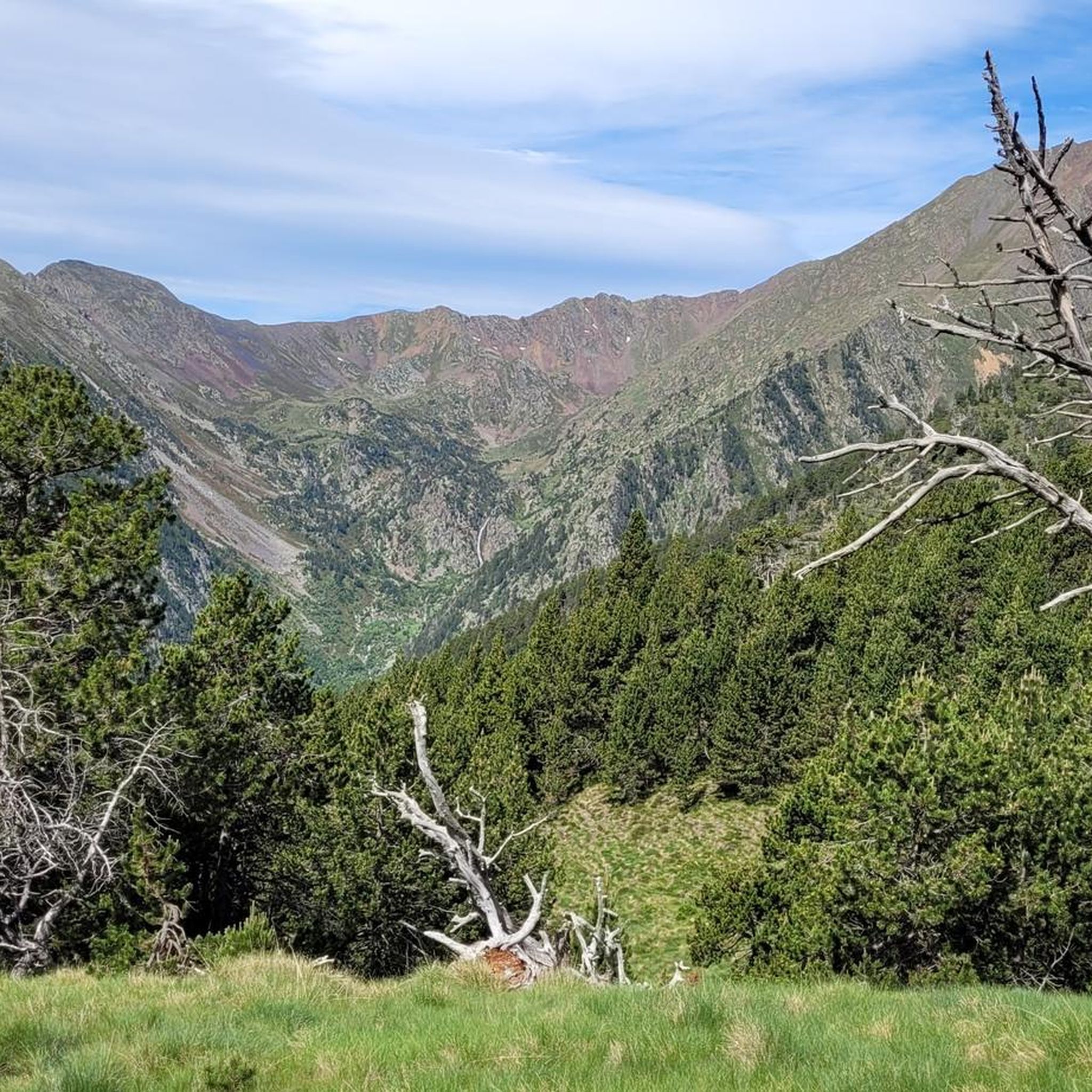
Road Cycling Routes around Parc Natural Comunal de les Valls del Comapedrosa
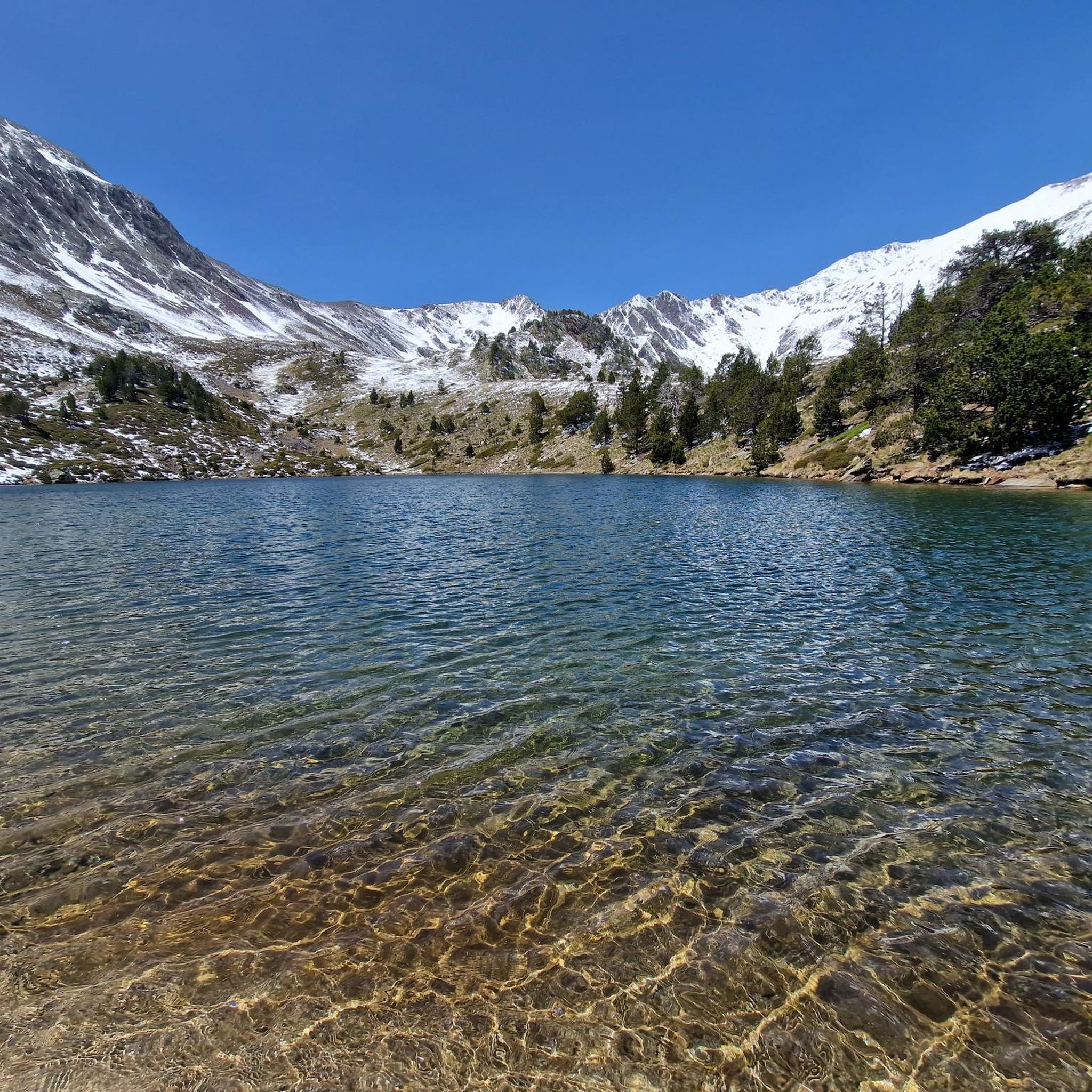
Cycling around Parc Natural Comunal de les Valls del Comapedrosa
MTB Trails around Parc Natural Comunal de les Valls del Comapedrosa

Mountain Hikes around Parc Natural Comunal de les Valls del Comapedrosa

Gravel biking around Parc Natural Comunal de les Valls del Comapedrosa
Tips from the Community

When is the price per person per night?
0
0

The highest mountain in Andorra is feasible as a day trip from the country. However, one should be careful, some experienced hikers have already gotten lost. 😜 And the way to Spain or France is long... The easiest ascent is rated T3 according to the SAC scale. On the descent, I went a bit off the summit path in a northeastern direction and descended there. A bit more demanding (T4), but in this case, due to the scree in the upper part, it is easier to navigate on the descent. Here I saw some salamanders.
1
0

If there is snow during the summer, you can climb Comapedrosa via its northern ridge.
0
0
Welcome to the roof of Andorra. Ascent without any complexity. You can descend by following the ridge northwards to the pass, and from there continue down the scree slope. The route is easy to follow except for the scree, which requires a bit of improvisation on the way down.
0
0

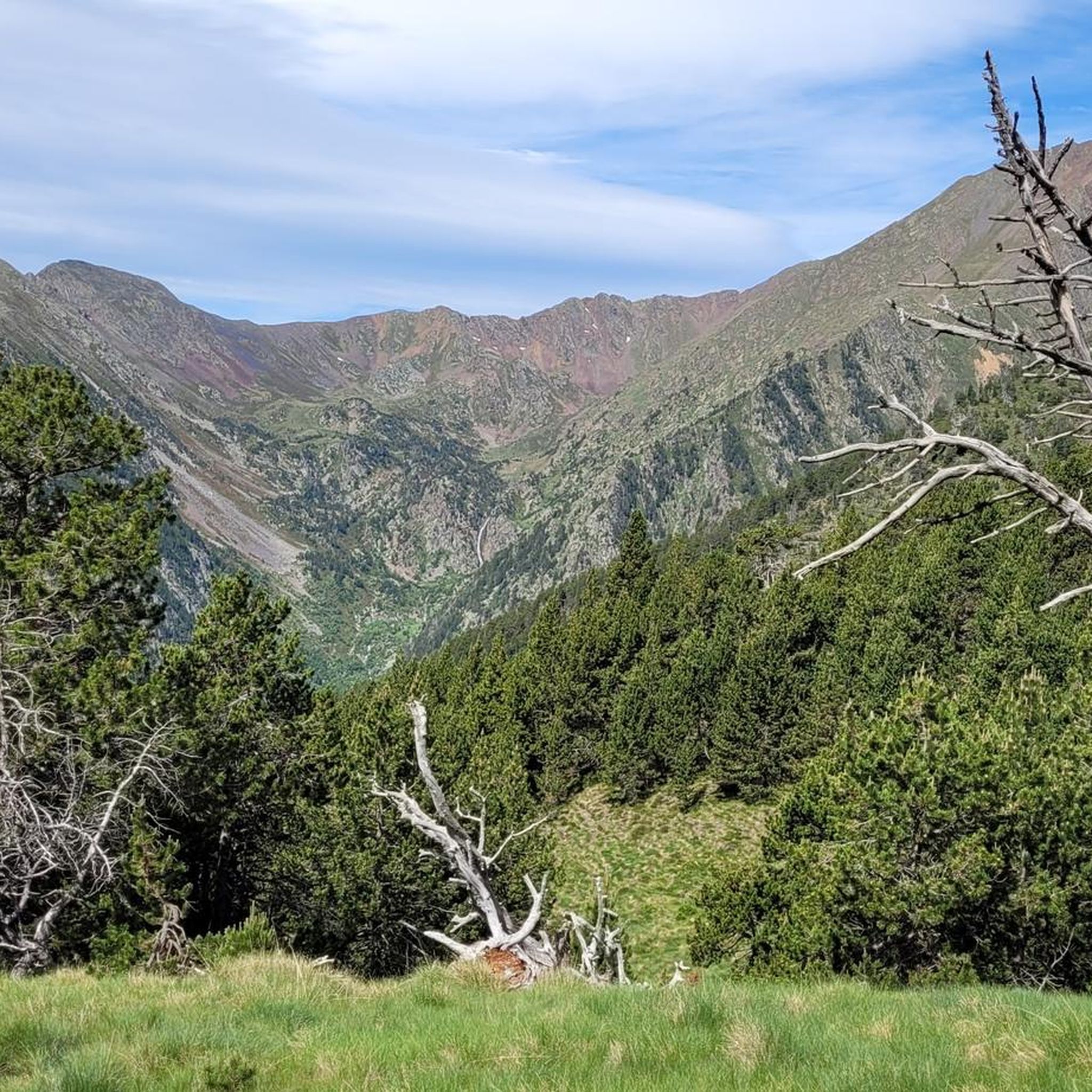
Impressive valley in this area of the Comapedrosa valley, where the walls rise on both sides of the valley.
0
0
Spectacular pond that is at the foot of Comapedrosa and that also shows us the way to the top. You can see the authentic mountain landscape that tells us that the path both to the summit and to the Portella de Baiau will be tough.
0
0

The highest peak in Andora, at almost 3000 meters. The view is really great in all directions in good weather. At the top you will find a small pyramid with different information. The route from the hut (Coma Pedrosa) to the summit can be strenuous in some places.
3
0
The hut makes a very positive impression. The owner is friendly and the prices are okay. Everything looks new and clean. Water can be tasted here for free. After that you can go to the summit (Comapedrosa).
4
0
Frequently Asked Questions
What natural features can I explore in Parc Natural Comunal de les Valls del Comapedrosa?
The park is rich in natural beauty, featuring the majestic Coma Pedrosa Summit, Andorra's highest point, offering panoramic views. You can also discover several glacial lakes, including the notable Black Lake of Comapedrosa, Estany de les Truites, and Estany Forcat. The Forest scenery in the Comapedrosa Valley showcases diverse ecological zones, from dense white birch groves to high-altitude shrub areas, alongside spectacular rivers and waterfalls.
Are there any mountain refuges available for hikers in the park?
Yes, the park provides essential refuges for hikers. The Comapedrosa Refuge is a popular stop, known for its friendly service and amenities. Another key refuge is the Refugi del Pla de l'Estany (also known as Refugi de Joan Canut), situated at 2,050 meters, serving as an important intermediate point for longer treks.
What kind of hiking trails are available in Parc Natural Comunal de les Valls del Comapedrosa?
The park is a haven for hikers, offering a variety of routes suitable for different skill levels. These include sections of the long-distance GR®11.1 and GRP trails. The ascent to Coma Pedrosa Summit is a popular, strenuous hike, while other trails lead to glacial lakes and through diverse forest scenery. Many trails are well-marked with yellow dots or GR signs.
What is the best time to visit Parc Natural Comunal de les Valls del Comapedrosa?
The best time to visit for hiking and enjoying the alpine flora is generally during spring and summer, when alpine flowers burst into color and the weather is more favorable for high-mountain activities. However, some glacial lakes, like the Black Lake of Comapedrosa, can remain frozen until July, depending on the season.
Can I find viewpoints with panoramic scenery in the park?
Absolutely. The Coma Pedrosa Summit itself offers exceptional 360-degree panoramic views of the surrounding valleys and mountains. Additionally, La Roca de la Sabina is an accessible viewpoint with a picnic area and an orientation panel detailing the geological and geographical features of the eastern half of the park.
Are there any educational or cultural points of interest within the park?
Yes, the park offers an Educational Itinerary with interpretive signposting, providing insights into its natural and cultural heritage. There's also a Park Information Point near the entrance that offers details about the park's environment, biology, cultural aspects, and hiking itineraries. The local celebration Pitavola d'Arinsal promotes mountain trades and traditions, reflecting the area's cultural ties.
What kind of wildlife can I expect to see in Parc Natural Comunal de les Valls del Comapedrosa?
The park is known for its rich biodiversity. Visitors might spot various wildlife species, including ibexes, marmots, and chamois. Birdwatchers may also be lucky enough to see impressive raptors like bearded vultures and golden eagles soaring above the peaks.
Are there cycling routes available near the attractions in Parc Natural Comunal de les Valls del Comapedrosa?
Yes, the region around the park offers a variety of cycling opportunities. You can find numerous road cycling routes, gravel biking trails, and general cycling paths. For detailed routes and difficulty levels, you can explore guides such as Road Cycling Routes around Parc Natural Comunal de les Valls del Comapedrosa, Gravel biking around Parc Natural Comunal de les Valls del Comapedrosa, and Cycling around Parc Natural Comunal de les Valls del Comapedrosa.
What do visitors enjoy most about the attractions in Parc Natural Comunal de les Valls del Comapedrosa?
Visitors frequently praise the breathtaking views, especially from the Coma Pedrosa Summit, and the serene beauty of the glacial lakes like the Black Lake of Comapedrosa. The diverse Forest scenery in the Comapedrosa Valley is also highly appreciated for its natural charm. Many enjoy the challenge of the trails and the welcoming atmosphere of the mountain refuges.
Are there any easy or family-friendly walks in the park?
While many routes in the high-mountain landscape can be challenging, the park offers a self-guided educational itinerary with interpretive signposting that connects with a picnic area, providing a more accessible option for families or those seeking a less strenuous experience. It's always recommended to check specific trail details for difficulty before heading out.
What are the characteristics of the terrain in the park?
The park's terrain is characterized by rugged cliffs, fascinating rock formations, and diverse ecological zones. It transitions from dense white birch groves in lower valleys to high-altitude shrub zones. Hikers should expect varied surfaces, including slate, stone, forest paths, and potentially snow depending on the season and altitude. The ascent to Coma Pedrosa Summit, for instance, can be technical with sharp and loose rocks.
Is there an entrance fee or permit required to visit Parc Natural Comunal de les Valls del Comapedrosa?
The provided information does not indicate an entrance fee or permit required for general access to Parc Natural Comunal de les Valls del Comapedrosa. However, it's always advisable to check with the Park Information Point near the entrance for the most current regulations regarding specific activities or areas.
Most popular routes around Parc Natural Comunal de les Valls del Comapedrosa
Most popular attractions around Parc Natural Comunal de les Valls del Comapedrosa

Get inspired with the komoot mobile app


