The best traffic-free bike rides around Harperrig Reservoir
4.6
(13)
1,816
riders
13
rides
No traffic road cycling routes around Harperrig Reservoir are situated in the Pentland Hills of West Lothian, Scotland. The region features a landscape of rolling hills, expansive open moorland, and the tranquil waters of the reservoir itself, with the Water of Leith flowing through it. Cyclists can expect varied terrain, including both paved and unpaved segments, offering diverse elevation gains. The area also incorporates historical elements such as the ruins of Cairns Castle and ancient drovers' roads.
Best no traffic…
Last updated: October 15, 2026
5.0
(1)
107
riders
32.7km
01:41
380m
380m
Moderate road ride. Good fitness required. Mostly well-paved surfaces and easy to ride.
41
riders
65.8km
03:00
580m
580m
Moderate road ride. Good fitness required. Mostly well-paved surfaces and easy to ride.

70
riders
59.4km
02:41
480m
480m
Moderate road ride. Good fitness required. Mostly well-paved surfaces and easy to ride.
33
riders
41.8km
01:46
230m
230m
Easy road ride. Great for any fitness level. Mostly well-paved surfaces and easy to ride.
25
riders
Moderate road ride. Great for any fitness level. Some segments of this route may be unpaved and difficult to ride.
Get access to more routes and recommendations from other explorers.
Already have an account?
Our route recommendations are based on thousands of hikes, rides, and runs completed by other people on komoot.
Start today with a free account
Your next adventure awaits.
Popular around Harperrig Reservoir
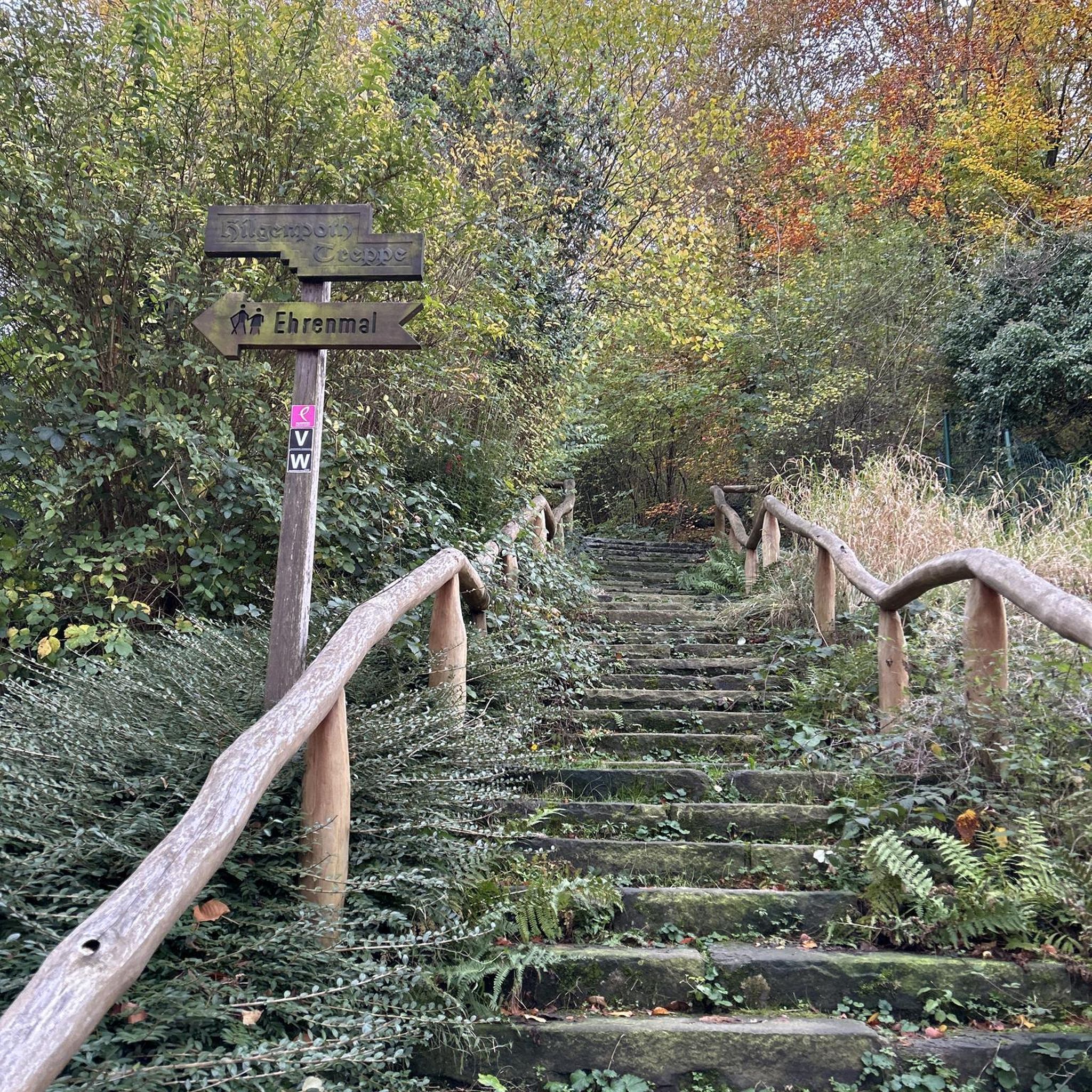
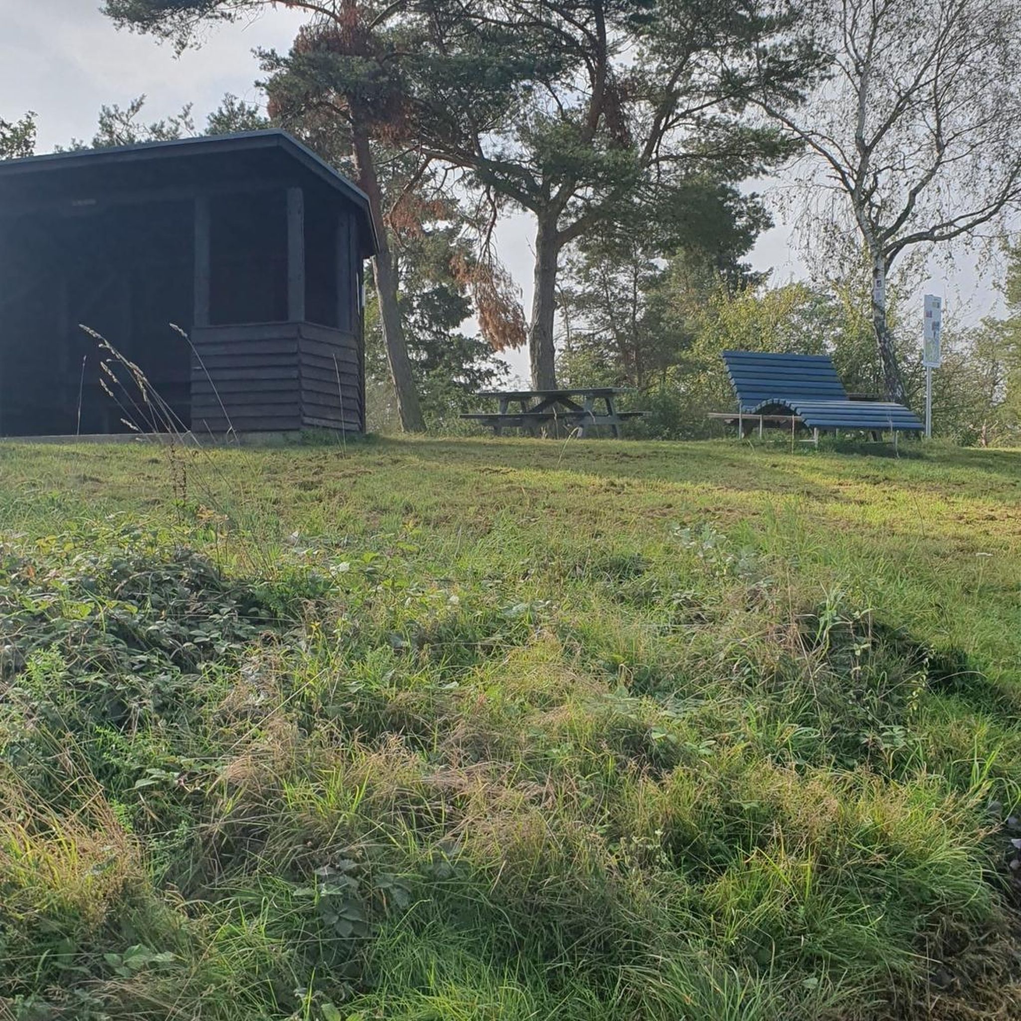
Tips from the Community

A little bumpy underwheel, probably fine on bigger tyres but a slightly sloggy way to enter or exit Edinburgh. Better entering as its slightly downhill all the way from Balerno
0
0

Beautiful road, perfect tarmac. Great one for all kinds of spins, enjoy the scenery or a head down hi-watt TT.
0
0

The cafe is unfortunately now closed, it has reopened up the road at Loanhead Farm though.
0
0

The road surface is now terrible on this road. It is generally quiet; however it is narrow and people drive down it at excessive speed which can be very dangerous as you try and navigate a path through the potholes Not a nice road to cycle down at all.
0
0

Varies between 8% and 13% with good road surfaces and fairly quiet during the week. Good for reps if you're looking at building stamina and strength on the climbs.
0
0


Good food and super cheap. When I visited they only accepted cash so make sure you have some. There is a cash machine in the town.
2
0

Turbines, big skies, and a fast descent into Woolfords Cottages
2
0
Frequently Asked Questions
How many no-traffic road cycling routes are available around Harperrig Reservoir?
There are currently 13 no-traffic road cycling routes around Harperrig Reservoir featured in this guide. These include 3 easy routes and 10 moderate routes, offering options for various skill levels.
What kind of terrain and elevation can I expect on these no-traffic road cycling routes?
The routes around Harperrig Reservoir feature a mix of rolling hills and open moorland, with varying elevation gains that provide both challenge and rewarding views. While the focus is on road cycling, the region's natural landscape means you'll experience diverse terrain. For example, the Nasmyth Bridge – Woolfords loop covers over 65 km with nearly 600 meters of elevation gain, offering a substantial ride.
Are there any easy no-traffic road cycling routes suitable for beginners or families?
Yes, this guide includes 3 easy no-traffic road cycling routes around Harperrig Reservoir. These are generally shorter with less elevation, making them suitable for beginners or families looking for a more relaxed ride. An example is the Naysmyth Bridge – Almondell Country Park loop, which is just over 41 km with around 230 meters of elevation gain.
What landmarks or viewpoints can I see along the no-traffic road cycling routes?
Many routes offer scenic views of Harperrig Reservoir itself and the surrounding Pentland Hills. You might also encounter historical points of interest such as the ruins of Cairns Castle, dating back to around 1440. East Cairn Hill, while a challenging ascent, provides wide views across West Lothian and Fife. The reservoir is also home to Gull Island, a breeding habitat for gulls and wildfowl, offering interesting birdwatching opportunities.
Is Harperrig Reservoir a good area for circular no-traffic road cycling routes?
Yes, many of the no-traffic road cycling routes around Harperrig Reservoir are designed as loops, allowing you to start and finish at the same point. This makes planning your ride and return journey straightforward. The Kirkgate Hill – Long Dalmahoy Road loop is a good example of a circular route, covering nearly 30 km.
What is the best time of year to cycle around Harperrig Reservoir?
The area is beautiful year-round, but spring and summer generally offer the most pleasant conditions for road cycling with longer daylight hours and milder weather. Autumn provides stunning scenery with changing foliage. While winter cycling is possible, be prepared for colder temperatures and potentially wet or icy conditions, especially on higher ground.
Are there any cafes, pubs, or accommodation options near the no-traffic road cycling routes?
While Harperrig Reservoir itself is a natural, rural area, you can find amenities in nearby villages and towns. Kirknewton, for instance, serves as a common starting point for several routes, including the Forth Bridge – Cramond Brig loop, and offers local facilities. It's advisable to check specific locations along your chosen route for available services.
Where can I find parking for these no-traffic road cycling routes?
Parking is typically available in the villages and towns that serve as starting points for these routes. For example, Kirknewton and Livingston South are common starting locations for many of the featured rides, such as the Wind Turbines Near Woolfords – Braehead Climb loop from Livingston South. Always check local signage for parking restrictions and fees.
Can I reach the Harperrig Reservoir cycling routes by public transport?
Public transport options to the Harperrig Reservoir area are available, though they may require some planning. Buses serve nearby villages like Kirknewton, which is a starting point for several routes. For more detailed information on public transport routes and schedules, it's best to consult local transport providers.
What do other road cyclists enjoy most about cycling around Harperrig Reservoir?
The no-traffic road cycling routes around Harperrig Reservoir are highly rated by the komoot community, with an average score of 4.8 stars. Cyclists often praise the sense of open space, the ever-changing views of the moorland and reservoir, and the quiet roads that allow for an immersive riding experience away from heavy traffic.
Most popular routes around Harperrig Reservoir

Get inspired with the komoot mobile app


Explore more
Browse the best Road cycling routes in other regions.
