The best walks and hikes around Harperrig Reservoir
4.5
(615)
5,008
hikers
120
hikes
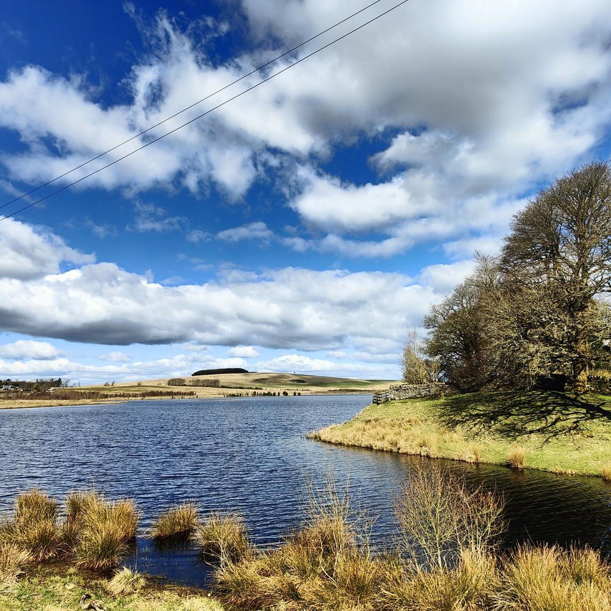
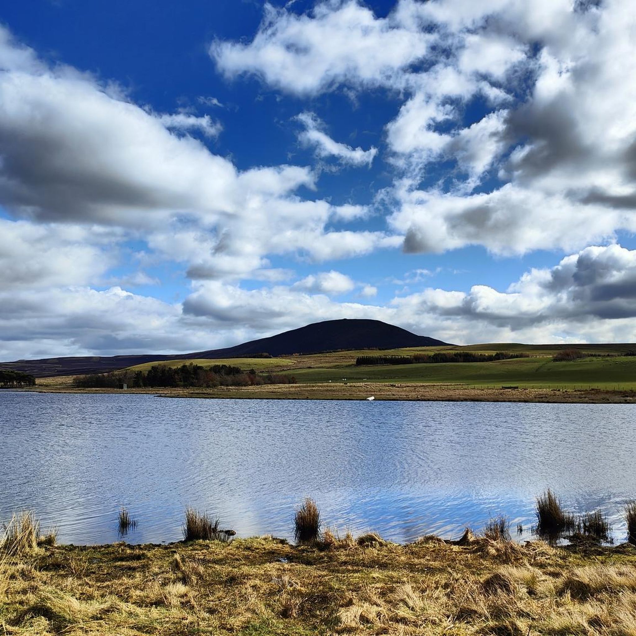
Hikes around Harperrig Reservoir explore the north-western edge of the Pentland Hills, just southwest of Edinburgh. The landscape is characterized by the reservoir's shoreline, rolling hills, and open moorland. Trails in the area often follow old drovers' roads and provide access to notable features like East Cairn Hill and the ruins of Cairns Castle.
Best hiking trails around Harperrig Reservoir
- The most popular hiking route is the Cairns Castle & East Cairn Hill loop from Harperrig Loch — Pentland Hills, an 8.2 mile (13.2 km) trail that takes around 4 hours to complete. This route includes an ascent of East Cairn Hill and passes the 15th-century ruins of Cairns Castle.
- Another top favourite among local hiking enthusiasts is the East Cairn Hill – Harperrig Reservoir loop from Cairns Castle, a moderate 7.4 mile (12.0 km) path. The trail combines a walk along the reservoir shoreline with a climb offering wide views across the region.
- Local hiking enthusiasts also love the Cauldstane Slap loop from Kirknewton, a 6.3 mile (10.2 km) trail leading through open country, often completed in about 3 hours.
- Hiking around Harperrig Reservoir is defined by shoreline paths, hillside tracks, and historic drovers' roads like the Cauldstane Slap. The network of trails provides options for both moderate walks and more challenging hikes into the Pentland Hills.
- The routes in Harperrig Reservoir are highly rated by the komoot community with an average score of 4.6 stars from over 500 reviews. More than 4,500 hikers have used komoot to explore Harperrig Reservoir's varied terrain.
Last updated: October 12, 2026
4.2
(5)
32
hikers
13.2km
04:02
430m
420m
Moderate hike. Good fitness required. Easily-accessible paths. Suitable for all skill levels.
5.0
(2)
13
hikers
11.7km
03:28
300m
300m
Moderate hike. Good fitness required. Easily-accessible paths. Suitable for all skill levels.

5.0
(1)
8
hikers
10.4km
02:52
170m
170m
Moderate hike. Good fitness required. Easily-accessible paths. Suitable for all skill levels.
4.5
(2)
4
hikers
26.1km
07:44
690m
690m
Hard hike. Very good fitness required. Easily-accessible paths. Suitable for all skill levels.
26
hikers
10.3km
03:08
310m
310m
Moderate hike. Good fitness required. Easily-accessible paths. Suitable for all skill levels.
Get access to more routes and recommendations from other explorers.
Already have an account?
Our route recommendations are based on thousands of hikes, rides, and runs completed by other people on komoot.
Start today with a free account
Your next adventure awaits.
Tips from the Community

It's been an unseasonably dry spring, yet there were still some flooded and very boggy unrideable sections early on (coming from the little vantage car park) and further up. I had a 15 mile trek to get here and by the time I got to the top of cauldstane slap I wanted to head home as i was absolutely knackered, but rather than go back through that I opted for a 30mile road detour rather than 20miles back the way I came. I made it and the views were spectacularly worth the massive effort.
1
0

This historic single track path is known as Thieves Road, and was an important north-south route which cattle were driven from the north of Scotland, down through West Linton and on to England. It cuts through the beautiful Pentlands Hills and is mainly an exposed section of track offering fabulous views. You may need to walk your bike through much of it but it’s worth it if you’ve got the time.
0
0

Baddinsgill Reservoir is a charming little reservoir that rests peacefully in a picturesque valley along Thieves' Road, within the Pentland Hills. It's the perfect location to catch your breath and enjoy a picnic amongst some of Scotland's finest scenery.
1
0
If you don't mind the ground being a bit boggy, this is a lovely spot in the Pentland Hills to camp, especially if you catch the sun setting.
0
0

Mount Maw is a prominent summit with a trig point at 535 m. The southern aspect of the summit means you get amazing views south over the Southern Uplands and around the rest of the Pentland Hills.
0
0

East Cairn Hill at 561m is 1m lower than West Cairn Hill which is 1.5km away to the southwest. The views from the cairn are great, across the southern Pentland Hills and north to the Forth valley.
0
0
The ruins of a keep dating from the 15th century. As well as the tower there is the remains of a vaulted basement under the adjoining wing. The eastern entrance tower no longer exists.
0
0
Frequently Asked Questions
Can I walk my dog around Harperrig Reservoir?
Yes, the trails around Harperrig Reservoir are generally dog-friendly. However, it's a good idea to keep your dog on a lead, especially as the area is a habitat for wildlife like otters and ground-nesting birds. You may also encounter livestock on paths that follow old drovers' roads.
Is there parking available at Harperrig Reservoir?
Yes, there is a small car park available near the start of the main trails by the reservoir, including the one leading to Cairns Castle. This car park can fill up quickly, particularly on weekends, so arriving early is recommended.
Are there any easy, family-friendly walks in the area?
While many of the main hill routes are moderate, there are gentler options suitable for families. The paths directly along the reservoir's shoreline offer a relatively flat and scenic walk. For a dedicated family outing with lots of facilities, the nearby Beecraigs Country Park is a popular choice, offering varied trails and a visitor centre.
Can you complete a full circular walk around the entire reservoir?
Yes, it is possible to walk a loop that incorporates large sections of the reservoir's shoreline. A great option for this is the East Cairn Hill – Harperrig Reservoir loop from Cairns Castle, which combines a scenic walk along the water with a climb for wider views.
How do I get to Harperrig Reservoir by public transport?
Reaching the reservoir directly by public transport is challenging as there are no bus stops at the main trailhead. The nearest villages with bus services from Edinburgh are Kirknewton and Balerno, but they are still several miles away, requiring a long walk or a taxi to reach the reservoir itself. Driving is the most practical option.
What kind of wildlife might I see while hiking?
The area is a haven for wildlife. Keep an eye out for Eurasian otters near the water's edge. The reservoir is also a key site for birdwatching, with gulls, ducks, and geese often present, particularly on Gull Island. The surrounding hills and moorland support a variety of typical Scottish upland species.
Are there any historical sites to see on the trails?
Yes, the most prominent historical feature is the ruin of Cairns Castle, a 15th-century tower house that juts into the reservoir. Many trails, such as the Cairns Castle & East Cairn Hill loop, pass directly by it. The area also features the Cauldstane Slap, an old drovers' road that crosses the Pentland Hills.
What are the trail conditions like around Harperrig Reservoir?
Trail conditions vary. You'll find well-defined shoreline paths, grassy tracks through open fields, and rougher, sometimes boggy, paths on the higher moorland sections. Sturdy, waterproof hiking boots are recommended, especially after rain or when tackling the hill routes.
Are there any challenging, long-distance hikes available?
Yes, for experienced hikers looking for a challenge, there are several demanding routes. The East Cairn Hill – Baddinsgill Reservoir loop from Kirknewton is a difficult hike of over 25 km that takes you deeper into the Pentland Hills, offering a full day of strenuous walking with significant elevation gain.
Can I go swimming or paddleboarding in the reservoir?
Yes, activities like swimming, paddleboarding, and kayaking are possible in Harperrig Reservoir. However, it is also a popular spot for fishing. If you plan to use the water, please be considerate of anglers, especially during the fishing season which typically runs from mid-March to early October.
What do other hikers enjoy most about the trails here?
The area is highly rated by the komoot community. Hikers often praise the stunning panoramic views from the tops of the hills, the sense of tranquility, and the mix of shoreline and moorland scenery. The presence of historic Cairns Castle is also a frequently mentioned highlight.
Are there any waterfalls to see on the hikes?
The main hiking routes around Harperrig Reservoir itself are not known for significant waterfalls. The landscape is more defined by the open water of the loch and the rolling hills. For a walk featuring a waterfall, you might consider exploring the area around Mid Calder, where you can find the Gibbon Jaw waterfall.
Most popular routes around Harperrig Reservoir

Get inspired with the komoot mobile app


Explore more
Browse the best Hikes in other regions.
