The best hikes from bus stations around Lac de Migouélou
4.6
(763)
8,696
hikers
7
hikes
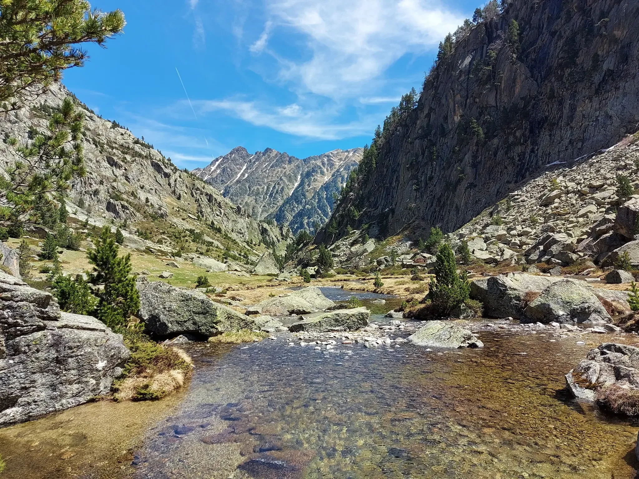
Hiking around Lac de Migouélou offers a high-mountain environment characterized by deep blue alpine lakes, scree, and mineral landscapes. The region features sustained ascents and numerous switchbacks, leading to panoramic views of the Pyrenean mountains. Surrounding peaks and cols, such as Pic de Batboucou, define the rugged terrain. This area provides diverse mountain experiences for hikers.
Best bus station hiking trails around Lac de Migouélou
- The most popular bus station hiking route is Lake Arrious – Arrémoulit Refuge loop from…
Last updated: June 28, 2026
4.5
(11)
178
hikers
13.7km
06:52
1,130m
1,130m
Hard hike. Very good fitness required. Sure-footedness, sturdy shoes and alpine experience required.
3.7
(3)
46
hikers
17.3km
08:57
1,440m
1,440m
Hard hike. Very good fitness required. Mostly accessible paths. Sure-footedness required.

Sign up for free
5.0
(1)
27
hikers
6.83km
03:31
570m
570m
Moderate hike. Good fitness required. Mostly accessible paths. Sure-footedness required.
5.0
(1)
6
hikers
11.5km
04:04
580m
580m
Moderate hike. Good fitness required. Easily-accessible paths. Suitable for all skill levels.
2
hikers
29.5km
11:17
1,580m
1,580m
Hard hike. Very good fitness required. Mostly accessible paths. Sure-footedness required.
Get access to more routes and recommendations from other explorers.
Sign up for free
Already have an account?
Our route recommendations are based on thousands of hikes, rides, and runs completed by other people on komoot.
Start today with a free account
Your next adventure awaits.
Login or Signup
Popular around Lac de Migouélou
Other adventures around Lac de Migouélou

Tips from the Community


The shelter is closed due to construction. It will likely reopen in 2026.
0
0

easy hike, apart from a lot of elevation gain, 1250 over 4km
0
0

Exposed rock passage, wonderful in good weather
0
0

Perfect place for a bivouac right on the lake.
0
0

In summer 2024 it will be closed for works. Although you can get water.
1
0
It's a nice lake. But it is true that it loses some essence when there are many people.
0
0

Frequently Asked Questions
How many bus station accessible hiking trails are there around Lac de Migouélou?
There are 9 hiking trails around Lac de Migouélou that are accessible from bus stations. These routes offer a range of experiences, from moderate to difficult, allowing you to explore the stunning high-mountain environment.
What kind of terrain can I expect on these bus-accessible hikes?
The terrain around Lac de Migouélou is characterized by a high-mountain atmosphere, featuring mineral and wild scenery. You can expect sustained ascents, numerous switchbacks, scree, and rocks. Trails often lead to easily gained altitude, offering panoramic views of the Pyrenean mountains.
Are there any circular routes starting from bus stops?
Yes, there are several circular routes accessible from bus stops. For example, the Lake Arrious – Arrémoulit Refuge loop from Soques is a challenging 13.7 km hike, and the Gave du Brousset loop from Lac de Fabrèges offers a moderate 11.4 km option.
Are the bus station trails around Lac de Migouélou suitable for families?
While many routes are challenging, there are also moderate options that might be suitable for families with some hiking experience. The Gave du Brousset loop from Lac de Fabrèges is a moderate 11.4 km trail with less elevation gain, offering a good option for a family day out.
Can I bring my dog on these hikes?
The Lac de Migouélou area is within the Pyrenees National Park. While dogs are generally allowed on a leash on some trails, specific restrictions may apply, especially in core zones to protect wildlife. It's always best to check the latest regulations of the Pyrenees National Park before heading out with your dog.
What are some notable natural features or viewpoints I can see on these trails?
Hikers can enjoy stunning panoramic views of the Pyrenean mountains. The centerpiece is Lac de Migouélou itself, a deep blue alpine lake. From various points, you can see peaks like Pic Arrouy and potentially reach the Pic de Batboucou for a sumptuous panorama. Many routes also pass by other alpine lakes and mountain refuges.
Is there a mountain refuge accessible from a bus stop?
Yes, the Refuge de Migouélou is a key feature in the area, situated at 2278m. While not directly at a bus stop, several routes accessible from bus stations, such as those starting from Soques, can lead you towards the refuge or other refuges like Arrémoulit. The Refuge de Migouélou is guarded from June to September and offers beds.
What is the best time of year to hike around Lac de Migouélou using public transport?
The best time to hike in the high-mountain environment around Lac de Migouélou is typically from late spring to early autumn (June to September). During these months, the weather is generally more stable, and the refuges are open. Always check local weather forecasts and trail conditions before your trip, as mountain weather can change rapidly.
Are there any challenging routes accessible by bus for experienced hikers?
Absolutely. The region offers several difficult routes for experienced hikers. For instance, the Arrémoulit Refuge – Lake Lurien loop from Soques is a demanding 21.1 km hike with significant elevation gain, and the Lake Lurien – Lake Artouste loop from Lac de Fabrèges covers 22.4 km, both offering true high-mountain experiences.
What do other hikers say about the bus-accessible trails in this region?
The area is highly rated by the komoot community, with an average score of 4.6 stars. Reviewers often praise the stunning high-mountain scenery, the challenging yet rewarding ascents, and the panoramic views of the Pyrenees. The diverse terrain and the presence of alpine lakes and refuges are frequently highlighted as favorite aspects.
Are there opportunities for wild swimming near the bus-accessible trails?
Lac de Migouélou itself is a deep blue alpine lake, and the region is dotted with other mountain lakes. While the water will be cold, wild swimming is possible in many of these natural bodies of water, offering a refreshing experience after a long hike. Always be mindful of local regulations and safety.
What wildlife might I encounter on these bus-accessible trails?
The high-mountain environment around Lac de Migouélou is home to various Pyrenean wildlife. Hikers often have the chance to spot isards (Pyrenean chamois) in their natural habitat. Keep an eye out for other mountain fauna and birds of prey.
How long do these bus-accessible hikes typically take?
The duration of these hikes varies significantly based on distance and difficulty. Moderate routes like the Gave du Brousset loop from Lac de Fabrèges can take around 3 hours. More difficult and longer routes, such as the Arrémoulit Refuge – Lake Lurien loop from Soques (21.1 km), can take 9-10 hours or even longer, often requiring a full day or an overnight stay at a refuge.
Most popular routes around Lac de Migouélou

Get inspired with the komoot mobile app


Explore more
Browse the best Hikes in other regions.
