The best walks and hikes around Lac de Migouélou
4.6
(695)
8,156
hikers
90
hikes
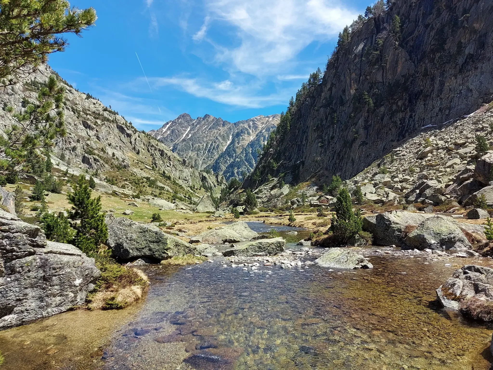
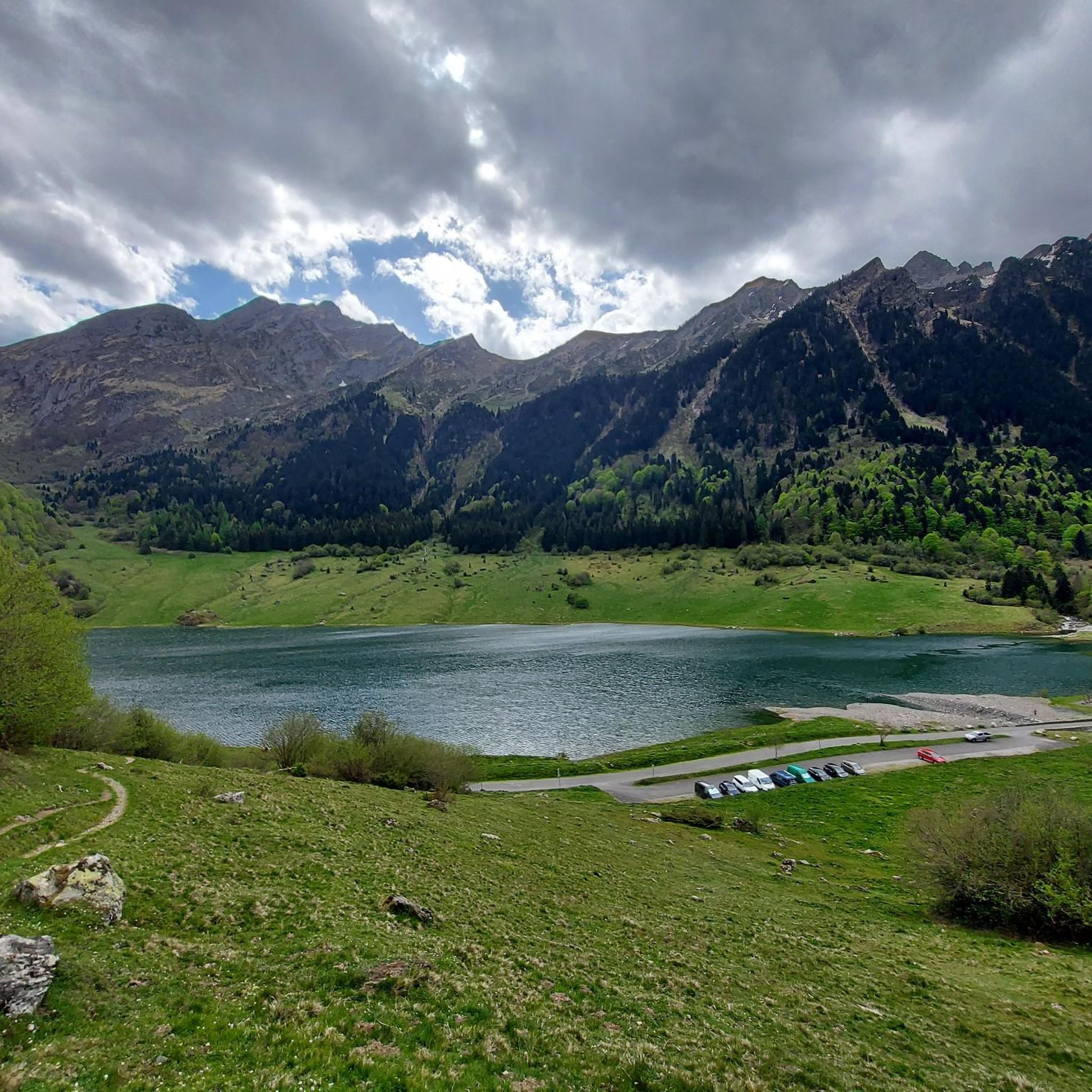
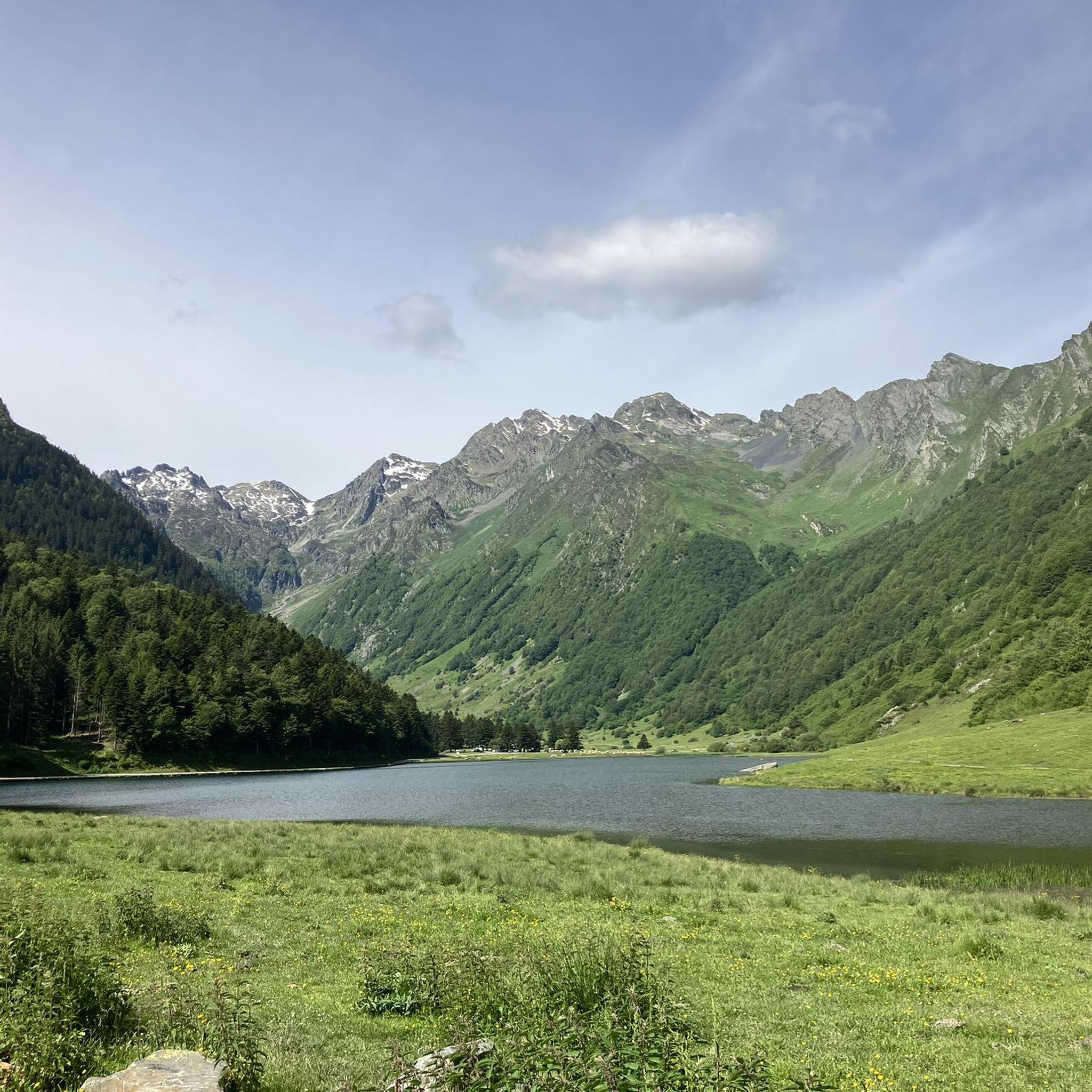
Hiking around Lac de Migouélou offers a high-mountain experience within the Pyrenees National Park, characterized by its mineral and wild scenery. The region features a deep blue lake surrounded by scree and rocks, with access to various peaks and cols. Situated in the Val d'Azun, the area provides diverse terrain suitable for different hiking abilities.
Best hiking trails around Lac de Migouélou
- The most popular hiking route is Larribet Refuge – Upper Batcrabère Lake loop from Refuge de Larribet,…
Last updated: May 12, 2026
4.0
(1)
17
hikers
2.58km
01:09
150m
140m
Moderate hike. Great for any fitness level. Mostly accessible paths. Sure-footedness required.
4.9
(30)
408
hikers
11.4km
04:34
590m
590m
Hike to Lake Suyen and Larribet Refuge in the Pyrénées National Park, covering 7.1 miles with 1938 feet of elevation gain.

Sign up for free
4.3
(3)
41
hikers
15.2km
08:21
1,280m
1,280m
Hard hike. Very good fitness required. Sure-footedness, sturdy shoes and alpine experience required.
4.9
(21)
305
hikers
4.59km
01:18
90m
100m
Easy hike. Great for any fitness level. Easily-accessible paths. Suitable for all skill levels.
4.7
(3)
97
hikers
10.3km
04:29
650m
650m
Hard hike. Good fitness required. Sure-footedness, sturdy shoes and alpine experience required.
Get access to more routes and recommendations from other explorers.
Sign up for free
Already have an account?
Our route recommendations are based on thousands of hikes, rides, and runs completed by other people on komoot.
Start today with a free account
Your next adventure awaits.
Login or Signup
Other adventures around Lac de Migouélou

Tips from the Community

Toue at the start of the path leading to the Larribet refuge. A salamander was crossed at this spot.
0
0
Departure from the lakes of Batcrabère, and the peak overlooking the Balaitous
0
0

Very good, very warm welcome and splendid view!
0
0

The shelter is closed due to construction. It will likely reopen in 2026.
0
0

It is a very well-equipped bivouac. In its deepest part the ground is super flat and allows you to sleep comfortably.
0
0

beautiful and easily accessible mountain lake.
0
0
Frequently Asked Questions
How many hiking trails are available around Lac de Migouélou?
There are over 90 hiking trails around Lac de Migouélou, offering a wide range of options for different skill levels. You'll find routes categorized as easy, moderate, and difficult, ensuring there's something for everyone.
What kind of terrain can I expect on the hiking trails?
The terrain around Lac de Migouélou offers a true high-mountain experience, characterized by mineral and wild scenery. You can expect paths through scree and rocks, with significant elevation gains on many routes, providing panoramic views of the Pyrenean mountains. Trails range from short, less strenuous walks to challenging treks lasting several hours.
Are there any family-friendly hiking options?
Yes, there are several easier routes suitable for families. For example, the Lake Suyen – The Gave d'Arrens loop from Lac de Suyen is an easy 4.6 km trail. The Val d'Azun, where Lac de Migouélou is located, is known for being a great starting point for discovering the Pyrenees, with diverse trails catering to various abilities.
Can I bring my dog on the trails around Lac de Migouélou?
Lac de Migouélou is situated within the Pyrenees National Park. Regulations regarding dogs in national parks can be strict to protect wildlife. Generally, dogs are not permitted on trails within the core zone of the Pyrenees National Park, even on a leash. It's advisable to check the specific rules for the Pyrenees National Park before planning your hike with a dog. You can find more information on the official park website or related tourism sites like Lourdes-Infotourisme.
Are there circular hiking routes available?
Yes, the area offers several circular hiking routes. A notable example is the Larribet Refuge – Upper Batcrabère Lake loop from Refuge de Larribet, a moderate 2.6 km trail. There are also more demanding circular hikes that connect the Val d'Azun to Lake Artouste, offering varied landscapes.
What natural features or landmarks can I see along the trails?
The central attraction is the deep blue Lac de Migouélou itself, beautifully framed by mountains. You'll experience a high-mountain atmosphere with stunning panoramic views of the Pyrenean peaks. The area also provides access to significant peaks like Pic Cadier and Pic Batboucou, and iconic passes such as Col d'Artouste. The Refuge de Migouélou, situated at 2287m, is also a prominent landmark.
Is there accommodation available near the trails?
The Refuge de Migouélou, located at 2287m altitude, serves as a popular stop for hikers, offering overnight stays and meals. It's accessible only on foot, about a three-hour walk from Plaa d'Aste. The nearby Val d'Azun also offers various accommodation options in its traditional villages.
How do I get to the starting points of the hikes by public transport?
Access to the high-mountain areas like Lac de Migouélou is primarily by car to trailheads such as Plaa d'Aste, followed by hiking. Public transport options directly to these remote starting points are limited. It's best to check local bus services from larger towns in the Val d'Azun, such as Arrens-Marsous, for connections to the lower valleys, but expect to hike a significant distance to reach the lake itself.
Where can I park my car for hikes around Lac de Migouélou?
The primary access point for Lac de Migouélou is from Plaa d'Aste. There are usually designated parking areas at or near the start of popular trailheads in the Val d'Azun. Given the popularity of the area, especially during peak season, it's advisable to arrive early to secure a parking spot.
Do I need any permits to hike in the area?
Generally, day hiking in the Pyrenees National Park does not require specific permits for access to trails. However, if you plan to stay overnight in a refuge, it is highly recommended to book in advance, especially during busy periods. Always respect park regulations, particularly concerning camping, fires, and wildlife.
What is the best time of year to hike around Lac de Migouélou?
The best time to hike around Lac de Migouélou is typically from late spring to early autumn (June to September) when the weather is most stable and the trails are clear of snow. During these months, you can fully enjoy the high-mountain atmosphere and the deep blue lake. Always check local weather forecasts before heading out, as conditions can change rapidly in the mountains.
What do other hikers say about the trails around Lac de Migouélou?
The trails around Lac de Migouélou are highly rated by the komoot community, with an average score of 4.6 stars from over 600 reviews. Hikers often praise the stunning natural beauty, the true high-mountain experience, and the diverse range of trails available for all abilities.
Are there any easy hiking routes for beginners?
Yes, there are easy hiking routes suitable for beginners. For instance, the Lake Suyen – The Gave d'Arrens loop from Lac de Suyen is an easy 4.6 km trail with minimal elevation gain. While many routes offer a challenging high-mountain experience, there are also shorter, less strenuous paths to enjoy the scenery.
Most popular routes around Lac de Migouélou

Get inspired with the komoot mobile app


Explore more
Browse the best Hikes in other regions.
