The best hikes from bus stations around Parco regionale Vena del Gesso Romagnola
4.5
(2113)
8,536
hikers
37
hikes
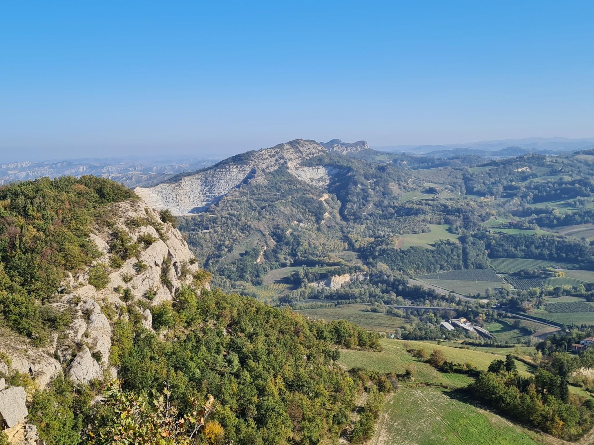
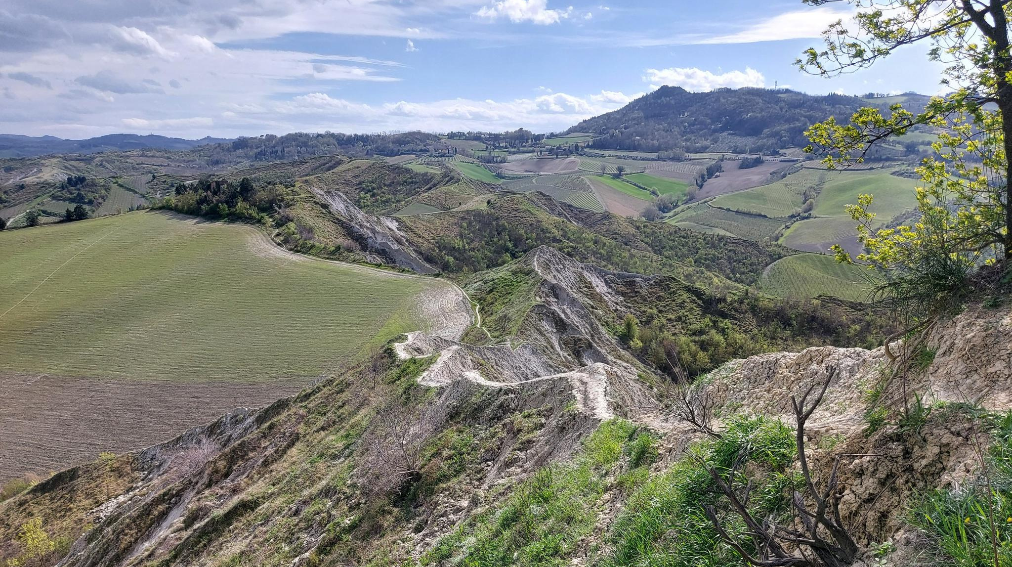
Bus station hiking trails around Parco regionale Vena del Gesso Romagnola traverse a landscape defined by its unique geological features, including a prominent gypsum outcrop known as the "Chalk Vein of Romagna." This region features distinct karstic formations such as sinkholes and dramatic "calanchi" (badlands) carved by erosion. The terrain varies from Mediterranean scrub on sunnier slopes to extensive wooded areas in shadier sections, offering diverse environments for hikers.
Best bus station hiking trails around Parco regionale Vena del Gesso Romagnola
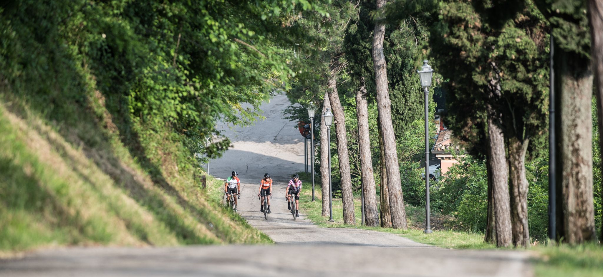
- The most popular bus station hiking route is Gypsum Vein Cycle Route, a 14.0 miles (22.5 km) trail that takes 7 hours 2 minutes to complete. This difficult route features significant elevation gain through the region's distinctive gypsum landscape.
- Another top favourite among local hikers is Santerno River at Codrignano – Santerno River Bridge and Dam loop from Casalfiumanese, a moderate 9.7 miles (15.7 km) path. This route follows the Santerno River, offering views of the river bridge and dam.
- Local hikers also love the River House – The River House loop from Fontanelice, a 4.7 miles (7.5 km) trail leading through riverine landscapes, often completed in about 1 hour 59 minutes.
- Hiking around Parco regionale Vena del Gesso Romagnola is defined by gypsum ridges, karstic formations, and varied woodlands. The network offers options for different ability levels, from easy riverside paths to more challenging ascents.
- The routes in Parco regionale Vena del Gesso Romagnola are highly rated by the komoot community with an average score of 4.5 stars from over 1,700 reviews. More than 7,500 hikers have used komoot to explore Parco regionale Vena del Gesso Romagnola's varied terrain.
Last updated: July 12, 2026
4.0
(1)
3
hikers
22.5km
07:02
850m
850m
Hard hike. Very good fitness required. Mostly accessible paths. Sure-footedness required.
5.0
(1)
15
hikers
Moderate hike. Good fitness required. Easily-accessible paths. Suitable for all skill levels.

Sign up for free
5.0
(3)
12
hikers
14.2km
03:39
70m
70m
Moderate hike. Good fitness required. Easily-accessible paths. Suitable for all skill levels.
5.0
(1)
8
hikers
14.0km
04:06
380m
380m
Moderate hike. Good fitness required. Easily-accessible paths. Suitable for all skill levels.
5.0
(1)
10
hikers
12.9km
03:18
40m
40m
Moderate hike. Good fitness required. Easily-accessible paths. Suitable for all skill levels.
Get access to more routes and recommendations from other explorers.
Sign up for free
Already have an account?
Our route recommendations are based on thousands of hikes, rides, and runs completed by other people on komoot.
Start today with a free account
Your next adventure awaits.
Login or Signup
Popular around Parco regionale Vena del Gesso Romagnola
Other adventures around Parco regionale Vena del Gesso Romagnola


Tips from the Community

The flood events of May 2023 devastated the Santerno Cycle Path, inaugurated just a year earlier; after three long years, work will finally begin to restore it, starting from the section from via Lughese to Imola near Vicolo Tombe, and from here to San Prospero, finally from Via Marino to via Lughese Sud between Imola and Mordano; subsequently, the section Imola Borgo Tossignano will be dealt with, with the aim of restoring the ancient splendor to these 44 km of pure scenic wonder between river fords, climbs, descents, apricot orchards, rows of vines, woods, hills, and waterfalls.
0
0

pedestrian crossing Pirandello
0
0
auditorium bench observance
0
0

yesterday 2nd November not passable.
0
0

At this point along the Santerno, the cycle path crosses the hamlet of Codrignano, in the municipality of Borgo Tossignano. It is especially known for the Garganello festival, a type of pasta of incredible goodness. The festival always takes place between the end of August and the beginning of September.
0
0

Following the Santerno cycle path, this bridge allows you to cross the river near Borgo Tossignano.
0
0

The bridge - cycle/pedestrian - has been rebuilt (August 2024)
0
0

Easy and fun fording on the Santerno river
0
0
Frequently Asked Questions
How many bus station hiking trails are available in Parco regionale Vena del Gesso Romagnola?
There are 28 bus-accessible hiking trails available in Parco regionale Vena del Gesso Romagnola. These routes offer a variety of experiences, from easy strolls to more challenging treks.
What are the difficulty levels of the bus-accessible trails in the park?
The bus-accessible trails cater to various fitness levels. You'll find 4 easy routes, 17 moderate routes, and 7 difficult routes. This ensures there's a suitable option whether you're looking for a relaxed walk or a more strenuous adventure.
What makes hiking in Parco regionale Vena del Gesso Romagnola unique?
The park is a UNESCO World Heritage site, renowned for its distinctive geological features. You'll encounter the 'Vena del Gesso' (Chalk Vein), a ridge of shining gypsum, dramatic karstic formations like sinkholes and caves, and unique 'calanchi' (badlands). The diverse vegetation, from Mediterranean scrub to dense woodlands, also adds to its unique character.
Are there any circular routes accessible from bus stations?
Yes, many of the bus-accessible routes are designed as loops, allowing you to start and end your hike at the same point. For example, the Santerno River at Codrignano – Santerno River Bridge and Dam loop from Casalfiumanese is a moderate circular hike, and the River House – The River House loop from Fontanelice offers an easy circular option.
What natural features or landmarks can I expect to see on these trails?
You can expect to see striking geological formations like the gypsum ridges and karstic sinkholes. Notable landmarks include the Crest of the Vena del Gesso Romagnola and the Rontana Cross. The park also features diverse flora and fauna, and you might encounter historical sites like the Crivellari di Gesso Village.
Are there any visitor centers or refuges accessible from bus routes?
Yes, the Ca' Carnè Refuge in Brisighella is a key visitor center and a common starting point for trails like the Carnè Ring Trail. This refuge provides valuable information and resources for hikers.
What do other hikers say about the bus-accessible trails in this park?
The trails in Parco regionale Vena del Gesso Romagnola are highly rated by the komoot community, with an average score of 4.5 stars from over 1,700 ratings. Reviewers often praise the unique geological landscapes, the well-maintained paths, and the opportunity to explore a UNESCO World Heritage site.
Are there family-friendly hiking options accessible by bus?
Absolutely. The park offers 4 easy bus-accessible routes that are suitable for families. These trails often feature gentle terrain and shorter distances, allowing everyone to enjoy the natural beauty. An example is the River House – The River House loop from Fontanelice, which is an easy 7.5 km hike.
Can I bring my dog on these bus-accessible trails?
Generally, dogs are welcome on trails in Parco regionale Vena del Gesso Romagnola, provided they are kept on a leash. This helps protect the park's wildlife and ensures a pleasant experience for all visitors. Always check specific trail regulations if you have concerns.
What is the best time of year to hike in the Vena del Gesso Romagnola?
Spring and autumn are generally the best seasons for hiking. In spring, the wildflowers are in bloom, and the temperatures are mild. Autumn offers pleasant weather and beautiful foliage. Summers can be hot, especially on south-facing slopes, while winters can be cold, but offer a unique, stark beauty.
How can I find bus routes and schedules to reach the trailheads?
To plan your journey, it's best to consult the local public transport websites or apps for the Emilia-Romagna region. These resources will provide up-to-date information on bus routes, timetables, and stops that connect to the various trailheads within and around Parco regionale Vena del Gesso Romagnola.
Are there any longer, more challenging bus-accessible hikes?
Yes, for experienced hikers, there are 7 difficult bus-accessible routes. These often involve greater distances and more significant elevation changes. The Gypsum Vein Cycle Route, though named a cycle route, is a challenging 22.5 km hike with over 800 meters of elevation gain, offering an immersive experience of the park's core features.
Most popular routes around Parco regionale Vena del Gesso Romagnola
Most popular attractions around Parco regionale Vena del Gesso Romagnola

Get inspired with the komoot mobile app


Explore more
Browse the best Hikes in other regions.
