The best MTB trails around Parco regionale Vena del Gesso Romagnola
4.5
(80)
539
riders
19
rides
Mountain bike trails around Parco regionale Vena del Gesso Romagnola traverse a landscape characterized by unique geological features and diverse terrain. The park is defined by the Vena del Gesso, a prominent selenitic gypsum outcrop, and extensive karst topography, including sinkholes and dramatic cliffs. Riders will encounter varied environments, from rugged gypsum formations and "calanchi" (badlands) to humid woods and lush vineyards in river valleys. This combination offers a range of surfaces and elevations suitable for mountain biking.
Best mountain…
Last updated: July 7, 2026
4.8
(4)
13
riders
27.7km
02:43
870m
870m
Moderate mountain bike ride. Good fitness required. Suitable for all skill levels.
4.8
(5)
108
riders
39.2km
04:02
1,320m
1,320m
Hard mountain bike ride. Very good fitness required. Advanced riding skills necessary. Some portions of the route may require you to push your bike.

Sign up for free
4.1
(44)
158
riders
28.3km
01:44
130m
130m
Easy mountain bike ride. Great for any fitness level. Suitable for all skill levels.
3.3
(3)
43
riders
41.8km
03:53
1,250m
1,250m
Hard mountain bike ride. Very good fitness required. Suitable for all skill levels.
4.0
(1)
27
riders
Hard mountain bike ride. Good fitness required. Advanced riding skills necessary. Some portions of the route may require you to push your bike.
Get access to more routes and recommendations from other explorers.
Sign up for free
Already have an account?
Our route recommendations are based on thousands of hikes, rides, and runs completed by other people on komoot.
Start today with a free account
Your next adventure awaits.
Login or Signup
Popular around Parco regionale Vena del Gesso Romagnola
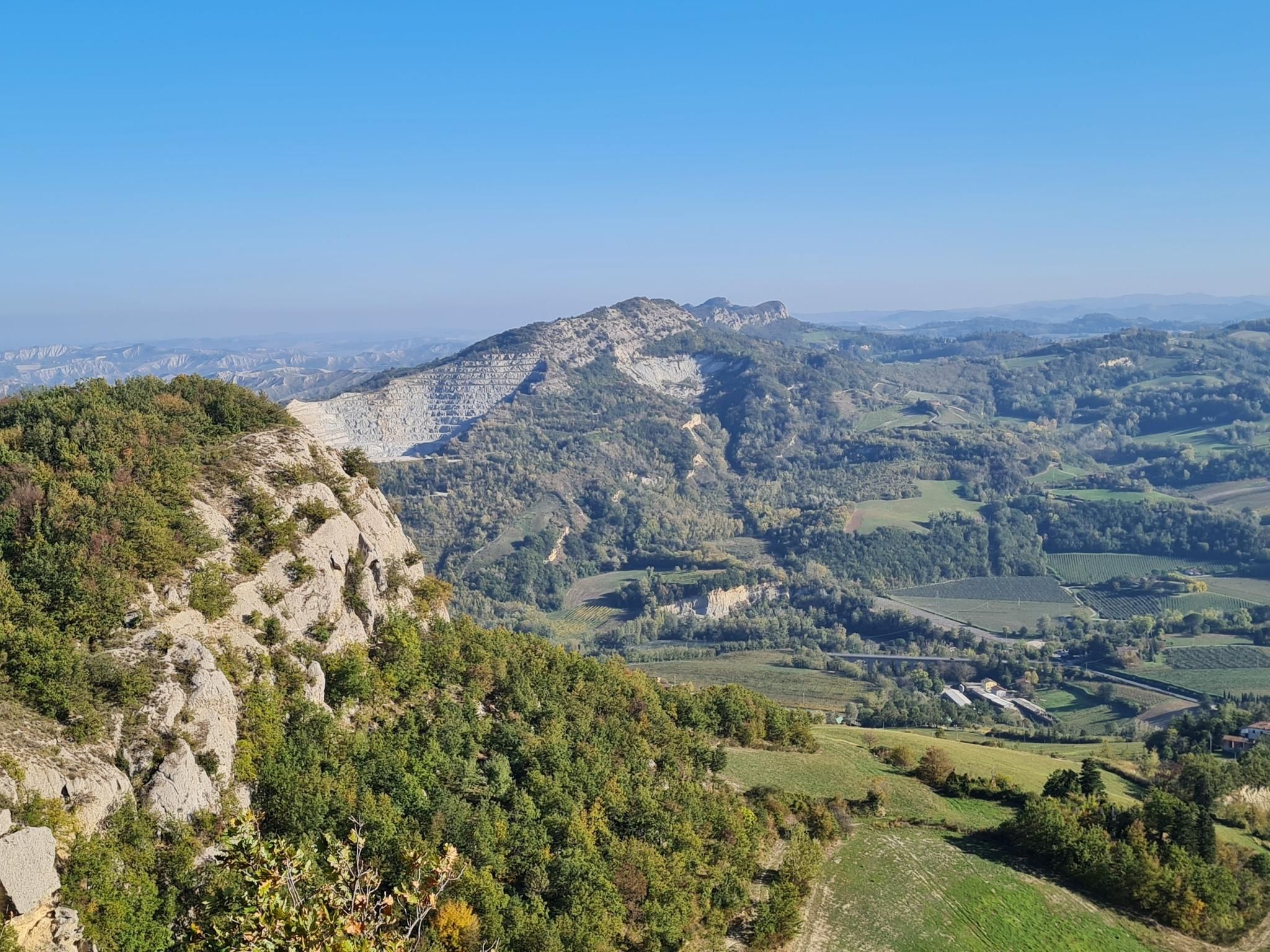
Lake Brasimone to Marradi – Alta Via dei Parchi (part 3)
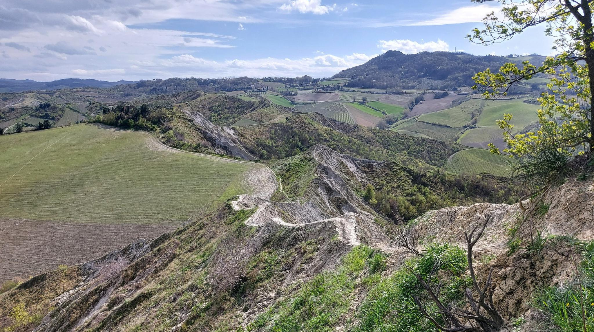
Walk from Bologna to Faenza – Via dei Gessi e dei Calanchi
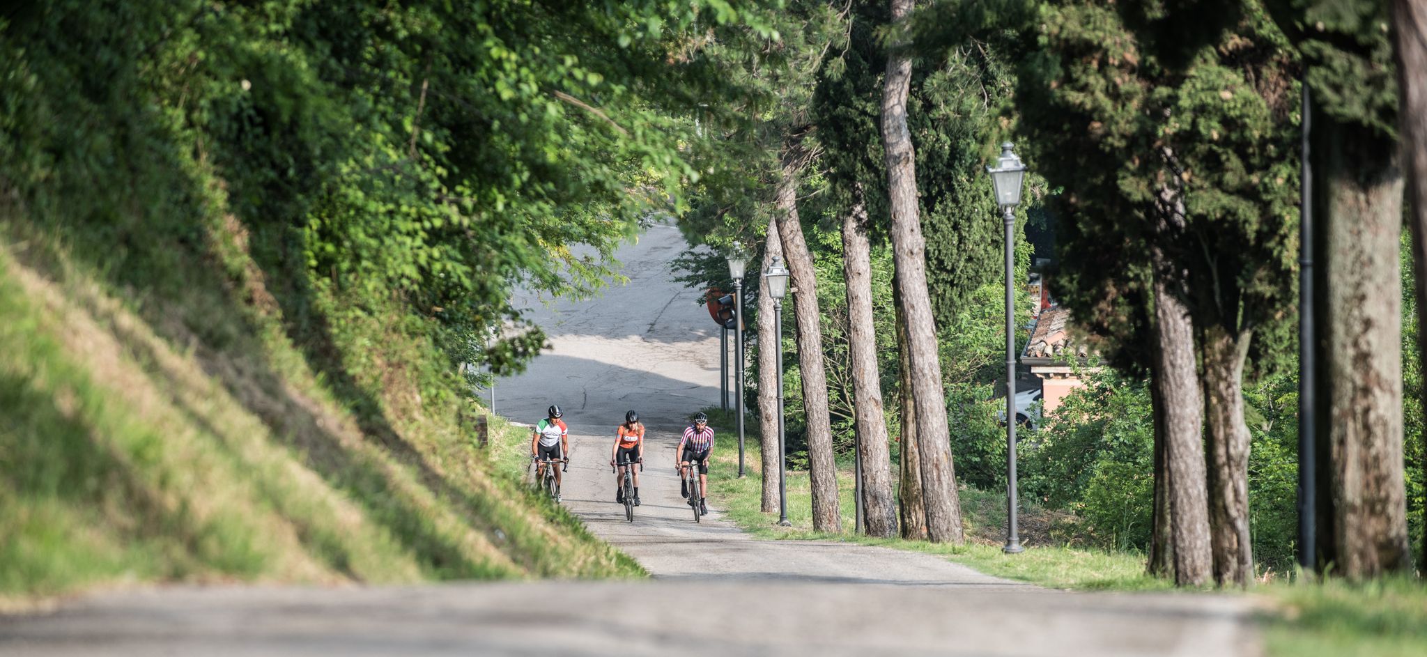
Enjoyment, culture and nature – cycling Tours in Italy’s Emilia Romagna region
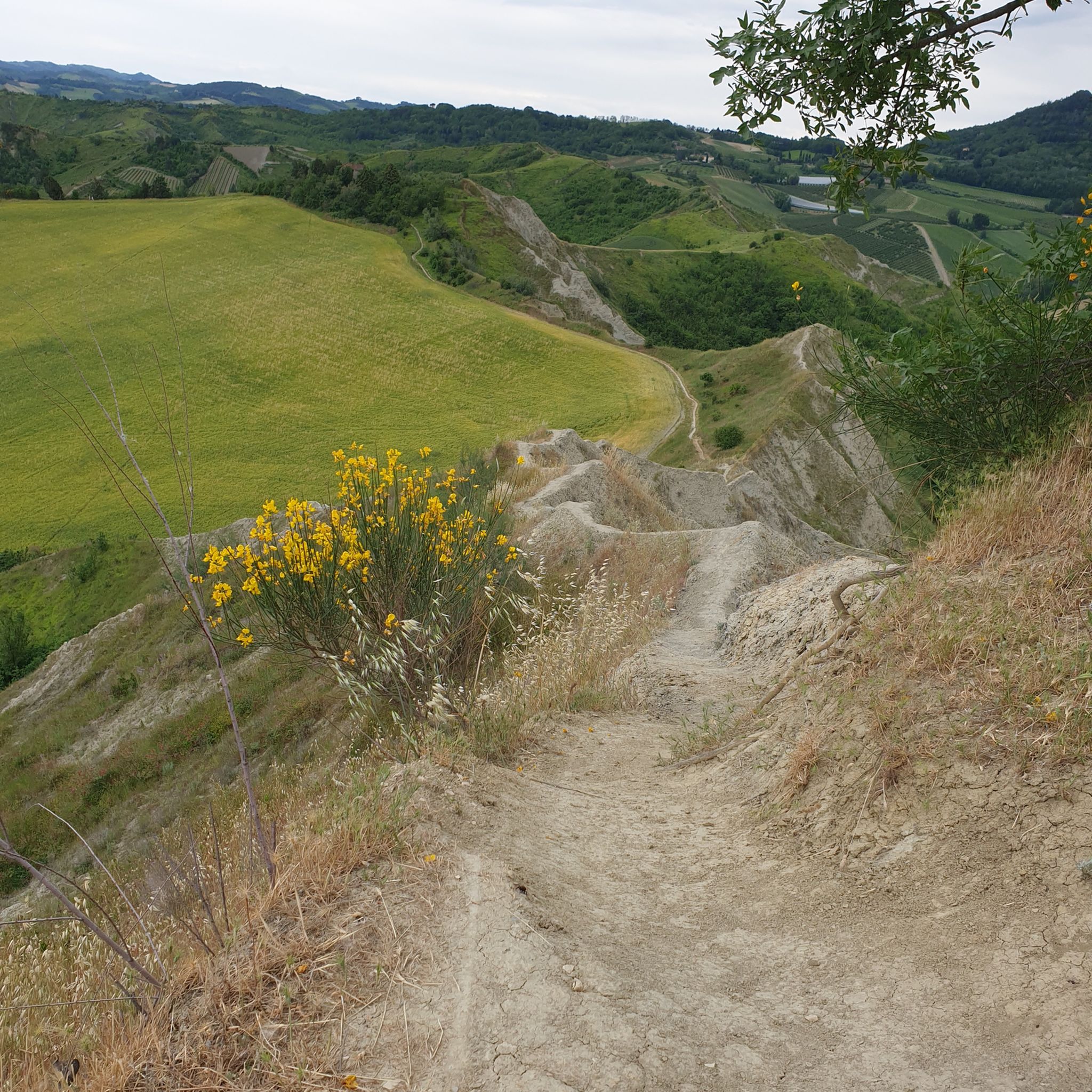
Hiking around Parco regionale Vena del Gesso Romagnola
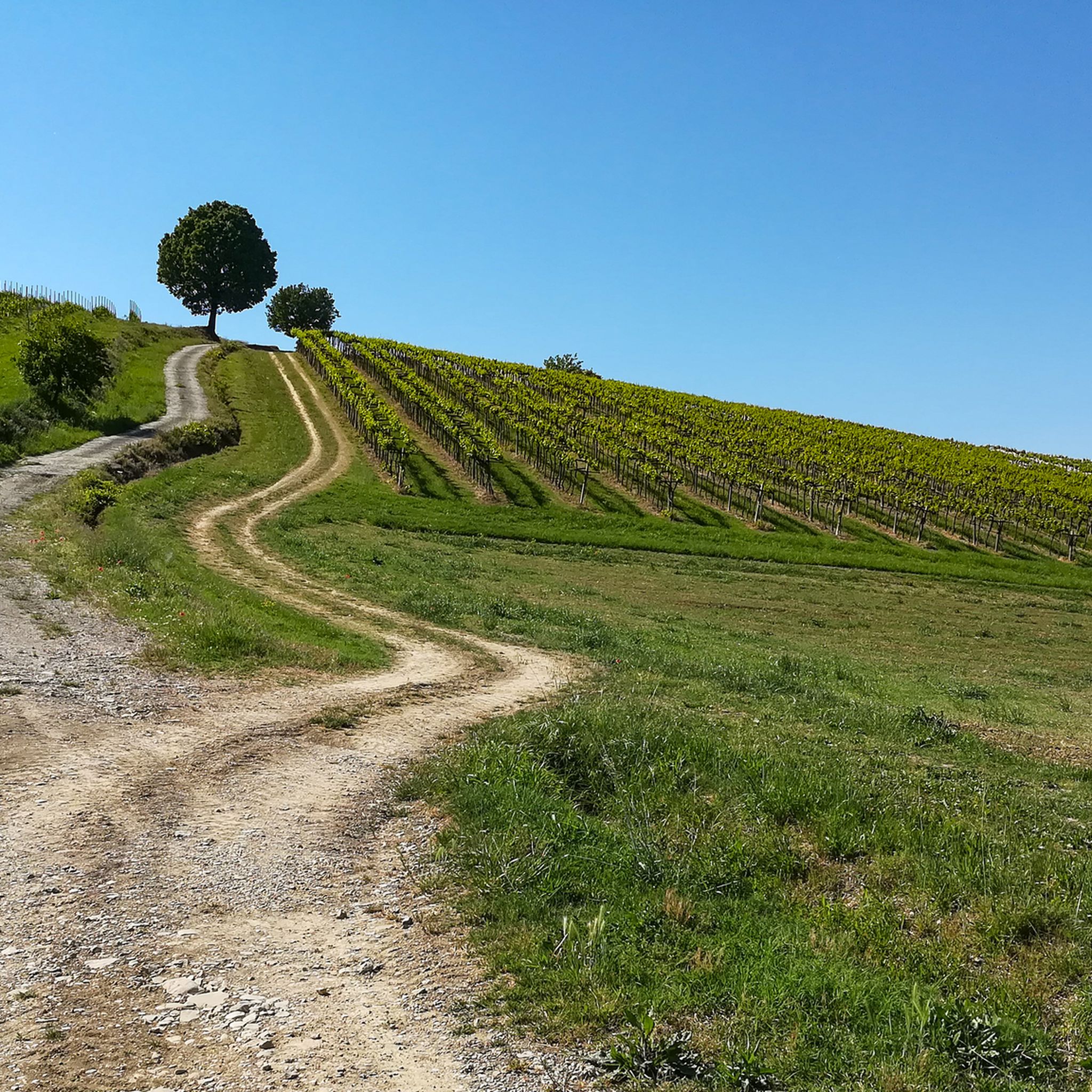
Cycling around Parco regionale Vena del Gesso Romagnola

Road Cycling Routes around Parco regionale Vena del Gesso Romagnola
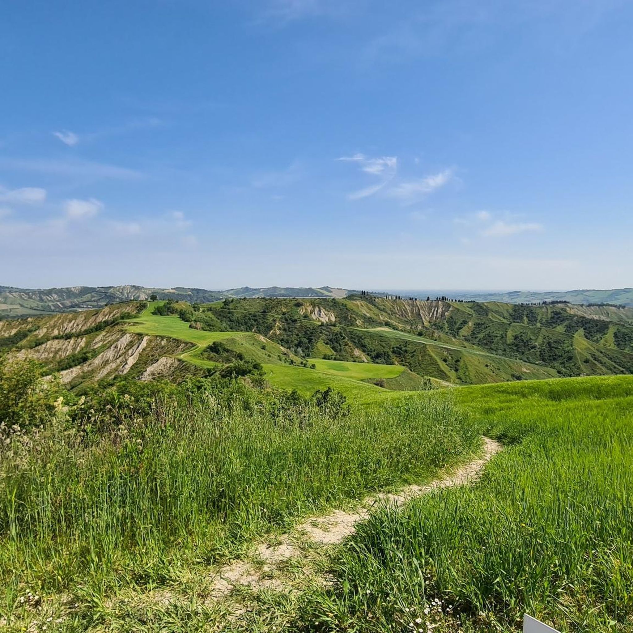
Running Trails around Parco regionale Vena del Gesso Romagnola

Gravel biking around Parco regionale Vena del Gesso Romagnola
Other adventures around Parco regionale Vena del Gesso Romagnola


Tips from the Community

...it dominates the entire Senio valley.....
0
0

Dirt climb with gradients of 11% but worth it
0
0

Eyes that here film you when you do it!
0
0

After the stretch in the woods, the path is barely visible. The last stretch before reaching the house must be done on foot for long stretches due to a landslide. Be careful because the presence of sheepdogs is reported.
0
0

Easy and fun fording on the Santerno river
0
0
A nice climb, all dirt, with some cemented sections. You arrive in Campiuno. To be done as an alternative to the asphalt of Via del Monte (Mevigo)
0
2

Ruin of a medieval fortress, now a National Monument in memory of the fallen of the Second World War.
1
0
Frequently Asked Questions
How many mountain bike trails are available in Parco regionale Vena del Gesso Romagnola?
There are nearly 20 mountain bike trails in Parco regionale Vena del Gesso Romagnola documented on komoot, offering a variety of experiences across the park's unique landscape. These include 2 easy, 7 moderate, and 9 difficult routes.
What kind of terrain can I expect on mountain bike trails in Parco regionale Vena del Gesso Romagnola?
The terrain is highly varied, defined by the striking Vena del Gesso (gypsum outcrop) and extensive karst topography. You'll encounter rugged gypsum formations, dramatic 'calanchi' (badlands), humid woods, and lush vineyards in river valleys. This geological diversity provides a mix of surfaces and elevations, from well-maintained paths to more challenging, barren sections.
Are there any family-friendly mountain bike trails in the park?
Yes, there are a couple of easy mountain bike trails suitable for families. These routes typically feature less challenging climbs and smoother paths, allowing for an enjoyable experience for riders of varying skill levels. Look for routes marked as 'easy' on komoot for suitable options.
What are some notable natural features or landmarks to see while mountain biking?
The park is renowned for its unique geological formations. You'll ride past the sparkling selenitic gypsum outcrops of the Vena del Gesso, dramatic 'calanchi' (badlands), and extensive karst phenomena like sinkholes and caves. Trails often lead to panoramic points with breathtaking views, such as those around Monte Mauro. For a specific attraction, consider visiting the Ca' Carnè Refuge, which is a starting point for many trails.
Are there any mountain bike routes that offer historical sights?
Yes, some routes incorporate historical landmarks. For example, the difficult route Pollo Trail – Monte Battaglia Castle Ruins loop from Borgo Tossignano includes challenging climbs and passes by historical sites like the Monte Battaglia Castle Ruins. Another option is the Monte Battaglia Castle Ruins – Prugno Pass loop from Borgo Tossignano, which also features these ruins and offers panoramic views.
What do other mountain bikers say about the trails in Parco regionale Vena del Gesso Romagnola?
The trails are highly rated by the komoot community, with an average score of 4.8 stars from over 17 reviews. Many mountain bikers praise the diverse terrain, the unique geological features, and the well-maintained network of paths that cater to various skill levels.
Are there any moderate mountain bike trails for intermediate riders?
Absolutely. There are 7 moderate mountain bike trails available. A popular choice is the Alta Via dei Parchi and Corolla delle Ginestre Loop, which is 27.7 km long and takes about 2 hours 42 minutes, offering a mix of terrain through diverse park landscapes. Another moderate option is the Pollo Trail – Church of Valmaggiore loop from Passo del CORSO, a 16.4 km route.
Where can I find facilities or places to rest along the trails?
Visitor centers like Ca' Carnè Refuge in Brisighella and Casa del Fiume in Borgo Tossignano provide information and facilities. Ca' Carnè also offers accommodation and dining, making it a convenient starting point or rest stop. Additionally, towns like Riolo Terme offer bike-friendly services.
What is the best time of year for mountain biking in Parco regionale Vena del Gesso Romagnola?
The park's diverse vegetation and microclimates mean conditions can vary. Generally, spring and autumn offer pleasant temperatures and beautiful scenery, with rich seasonal blossoms in spring. Summer can be warm, especially on southern, sunnier slopes, while cooler, northern slopes provide more humid woods. It's always advisable to check local weather conditions before heading out.
Are there any particularly challenging mountain bike routes for experienced riders?
Yes, the park offers 9 difficult mountain bike routes for experienced riders seeking a challenge. One such route is the Scenic Mountain View – Corneto Downhill (Rio Fornace) loop from Zona A Parco regionale Vena del Gesso Romagnola, a 43.2 km trail with significant elevation changes, often completed in about 3 hours 55 minutes.
Is it possible to access the park's mountain bike trails using public transport?
While specific public transport links directly to all trailheads can vary, towns like Riolo Terme and Brisighella, which serve as starting points for some itineraries, are generally accessible by public transport. From these towns, you may need to cycle or arrange local transport to reach specific trailheads. It's recommended to check local bus or train schedules for the most up-to-date information.
Where can I park my car when visiting the mountain bike trails?
Designated parking areas are available at key access points and visitor centers within the park. For instance, Ca' Carnè in Brisighella is a well-known starting point for many trails and offers parking facilities. Towns like Riolo Terme also provide parking options, especially for those starting their rides from within the town.
Most popular routes around Parco regionale Vena del Gesso Romagnola
Most popular attractions around Parco regionale Vena del Gesso Romagnola

Get inspired with the komoot mobile app


Explore more
Browse the best MTB trails in other regions.
