The best family-friendly hikes and walks around Parch Natural Pöz-Odles - Naturpark Puez-Geisler - Parco Naturale Puez-Odle
4.6
(82968)
433,117
hikers
101
hikes
Family friendly hiking trails around Parch Natural Pöz-Odles - Naturpark Puez-Geisler - Parco Naturale Puez-Odle traverse a landscape defined by dramatic Dolomite peaks, extensive alpine pastures, and deep valleys. This UNESCO World Heritage site features towering rock formations like the Villnöss Geisler and Peitlerkofel, alongside varied terrain including coniferous forests and karstic highlands. The region's geological diversity is evident in its ancient rock types and erosion-carved features, offering a unique setting for outdoor exploration.
Best family friendly hiking trails around Parch Natural Pöz-Odles - Naturpark Puez-Geisler - Parco Naturale Puez-Odle
- The most popular family friendly hiking route is Adolf Munkel Trail, a 6.0 miles (9.7 km) trail that takes 3 hours 24 minutes to complete. This moderate route winds through larch forests and alpine pastures at the foot of the Villnöss Geislerspitzen.
- Another top favourite among local hikers is Dolomites World Heritage Geotrail 11, a moderate 6.3 miles (10.2 km) path. This trail offers insights into the region's geological wonders and diverse ecosystems.
- Local hikers also love the Adolf Munkel Trail beneath the Geisler Peaks, a 5.0 miles (8.1 km) trail leading through varied terrain with views of the iconic Geisler peaks, often completed in about 2 hours 50 minutes.
- Hiking around Parch Natural Pöz-Odles - Naturpark Puez-Geisler - Parco Naturale Puez-Odle is defined by dramatic Dolomite peaks, rolling alpine pastures, and dense coniferous forests. The extensive network of routes offers options for various ability levels, from easy family walks to more challenging moderate trails.
- The routes in Parch Natural Pöz-Odles - Naturpark Puez-Geisler - Parco Naturale Puez-Odle are highly rated by the komoot community with an average score of 4.6 stars from more than 70,000 reviews. More than 370,000 hikers have used komoot to explore Parch Natural Pöz-Odles - Naturpark Puez-Geisler - Parco Naturale Puez-Odle's varied terrain.
Last updated: August 22, 2026
4.9
(1481)
5,883
hikers
9.69km
03:24
460m
450m
Embark on the Adolf Munkel Trail for a memorable hike through the Puez-Odle Nature Park. This moderate route guides you through serene stone pine and spruce forests, eventually revealing expansive alpine meadows. You will be treated to unparalleled, close-up views of the majestic "sawtooth" Odle/Geisler peaks, a defining landmark of the Dolomites. The trail spans 6.0 miles (9.7 km) and involves an elevation gain of 1499 feet (457 metres), typically requiring about 3 hours and 24 minutes to complete. Expect a diverse landscape with tranquil forest paths, vibrant wildflower meadows, and some rocky sections, offering a rich hiking experience.
Planning your visit to the Adolf Munkel Trail is straightforward, as the trailhead is conveniently located at the Zannes Car Park. This means you won't need to factor in a gondola ride to begin your adventure. Since this trail is quite popular, consider visiting during the shoulder seasons, such as May or October, if you prefer a quieter experience. These times often offer pleasant weather and fewer crowds, allowing you to fully appreciate the natural beauty. Always check local conditions before heading out, especially regarding weather and trail accessibility.
The Adolf Munkel Trail is renowned for its exceptional access to the unique geology and ecosystems of the Dolomites. It provides a fantastic opportunity to witness the dramatic rock formations and diverse flora characteristic of this UNESCO World Heritage site. The route's popularity stems from its combination of accessibility and spectacular scenery, making it a standout option in the region. You will find yourself immersed in a natural environment that showcases the raw beauty and ecological richness of the South Tyrolean Alps.
4.9
(1360)
6,340
hikers
14.7km
05:21
680m
680m
Embark on the challenging Hike around Sasso Putia - Ring tour, a difficult 9.1-mile (14.7 km) loop that takes approximately 5 hours and 20 minutes to complete. You will gain 2233 feet (681 metres) in elevation as you traverse varied terrain, from wide gravel paths through pine forests to narrower, steeper sections with scree and rocks leading to Forcella de Pütia. The trail consistently offers dramatic views of the Dolomites, including the imposing, two-headed Sass de Putia mountain, and winds through idyllic alpine meadows like those of Campaccio, especially vibrant with alpine flora.
Your adventure typically begins at Passo delle Erbe (Würzjoch), where you will find parking available right at the trailhead. This starting point is also accessible by bus, making it convenient for those using public transport. Along the route, you will encounter several welcoming mountain huts, such as Munt de Fornella, Ütia Vaciara, and Ütia de Göma, which provide excellent opportunities for rest, refreshments, and enjoying the local hospitality.
This hike is nestled within the Puez-Odle Nature Park, offering a rich diversity of alpine flora and the chance to spot wildlife like chamois and marmots. From Forcella de Pütia, you have the option to extend your hike with a demanding side trip to the summit of Sass de Putia at 2875 metres, which involves a secured path. The trail is celebrated for its constantly changing scenery and the extraordinary 360-degree panoramic views it provides of the surrounding Dolomites and even the Zillertal Alps.

Sign up for free
4.8
(870)
4,086
hikers
10.2km
03:39
440m
440m
Embark on the Dolomites World Heritage Geotrail 11, a moderate hiking route spanning 6.3 miles (10.2 km) with an elevation gain of 1427 feet (435 metres). You can expect to complete this journey in about 3 hours and 39 minutes. As you hike, you will experience diverse terrain, from rugged paths to serene alpine pastures, all framed by the distinctive Dolomite peaks. Look forward to spectacular mountain scenery, including impressive views of the Odle Peaks and the iconic Seceda Panoramic Viewpoint. This trail offers a focused experience within the stunning Puez-Odle Nature Park. It is a rewarding hike for those seeking a balance of challenge and breathtaking vistas.
Before you set out, remember that mountain weather can change quickly, so always check conditions. The route is designed for hikers with sure-footedness and a good level of fitness to navigate its varied paths. You can easily access the area via the Col Raiser Cable Car, with its mountain station conveniently located near the start of the route. Plan your visit during favorable weather to fully enjoy the panoramic views and ensure a safe and pleasant experience. Consider an early start to avoid crowds and make the most of the daylight.
This segment of the Dolomites World Heritage Geotrail highlights the geological significance of the region, showcasing its unique rock formations and natural beauty. Along the way, you will find welcoming mountain huts such as Pieralongia Hut and Regensburger Hut / Rifugio Firenze, perfect for a well-deserved break and a taste of local hospitality. The trail's circular nature allows you to immerse yourself fully in the natural environment without retracing your steps. It is an excellent opportunity to connect with the ancient landscapes of the Dolomites, a UNESCO World Heritage site.
4.9
(1293)
5,846
hikers
13.3km
04:39
570m
580m
Embark on the Peitlerkofel Circuit Trail, a moderate hike that takes you through a captivating mix of alpine pastures, fragrant spruce forests, and rocky sections. As you traverse the route, you'll enjoy continuous panoramic views of the Dolomites, with the striking Peitlerkofel massif always in sight. This loop covers 8.3 miles (13.3 km) with an elevation gain of 1881 feet (573 metres), typically taking around 4 hours and 38 minutes to complete.
Starting from Würzjoch (Passo delle Erbe), this trail is best tackled with good footwear, especially for the steeper, rockier sections leading up to Forcella di Putia. Many hikers find it beneficial to walk the loop counter-clockwise, which helps manage the most challenging ascent earlier in your journey. Parking is readily available at Würzjoch, making it a convenient access point for your adventure.
This route is nestled within the Puez-Odle Nature Park, showcasing the unique geological formations and diverse ecosystems of the region. Along the way, you can pause at charming mountain huts, such as the Fornella Alpine Hut, which offer a perfect spot for a break. The trail provides an immersive experience of the Dolomites, highlighting the natural beauty that makes this area so renowned.
4.9
(1038)
3,807
hikers
8.12km
02:50
390m
390m
Embark on a moderate hike along the Adolf Munkel Trail, a 5.0-mile (8.1 km) route that offers stunning views of the jagged Geisler peaks. You'll gain about 1275 feet (389 metres) in elevation over approximately 2 hours and 50 minutes, winding through peaceful forests and open alpine meadows. The path brings you directly beneath the impressive sawtooth spires of the Odle Group, creating a dramatic backdrop for your journey. Look for benches along the way that provide perfect spots to pause and take in the towering mountains. The trail reaches its highest point near Malga Casanago and Rifugio Odle, offering expansive vistas.
Your hike starts at the Zanser Alm parking area, which is easily accessible. If you're driving, be aware there's a daily parking fee of €10 at Malga Zannes. Alternatively, you can reach the trailhead conveniently by bus if you are coming from Bressanone. There are three different huts along the route where you can stop for food and drinks, so you don't need to carry a heavy pack. Make sure to bring water, but you can also refill at a refreshing mountain water source along the way.
This trail is celebrated for its unique combination of dramatic mountain scenery and classic alpine charm. It is considered one of the most spectacular routes in the Dolomites, offering a distinct experience compared to other trails in the region. The path provides excellent opportunities for photography, especially where the spires peek through the trees. You'll find panoramic views at Glatsch Alm, often with fewer crowds than other popular spots, making it a peaceful highlight of your journey.
Get access to more routes and recommendations from other explorers.
Sign up for free
Already have an account?
Our route recommendations are based on thousands of hikes, rides, and runs completed by other people on komoot.
Start today with a free account
Your next adventure awaits.
Login or Signup
Popular around Parch Natural Pöz-Odles - Naturpark Puez-Geisler - Parco Naturale Puez-Odle
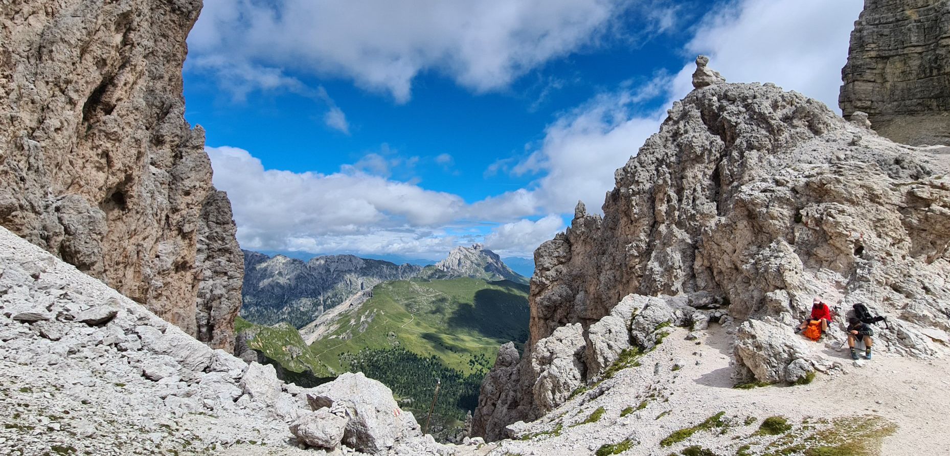
Puez-Odle Nature Park – Hike the Italian Dolomites
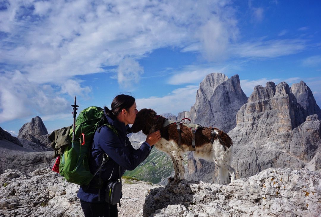
The extra-large Dolomites round – an out-of-this-world hiking adventure

Via Venezia Alpina – hiking across the Alps to the Adriatic Sea

The "Dream Path" hiking trail – From Munich to Venice in 28 stages
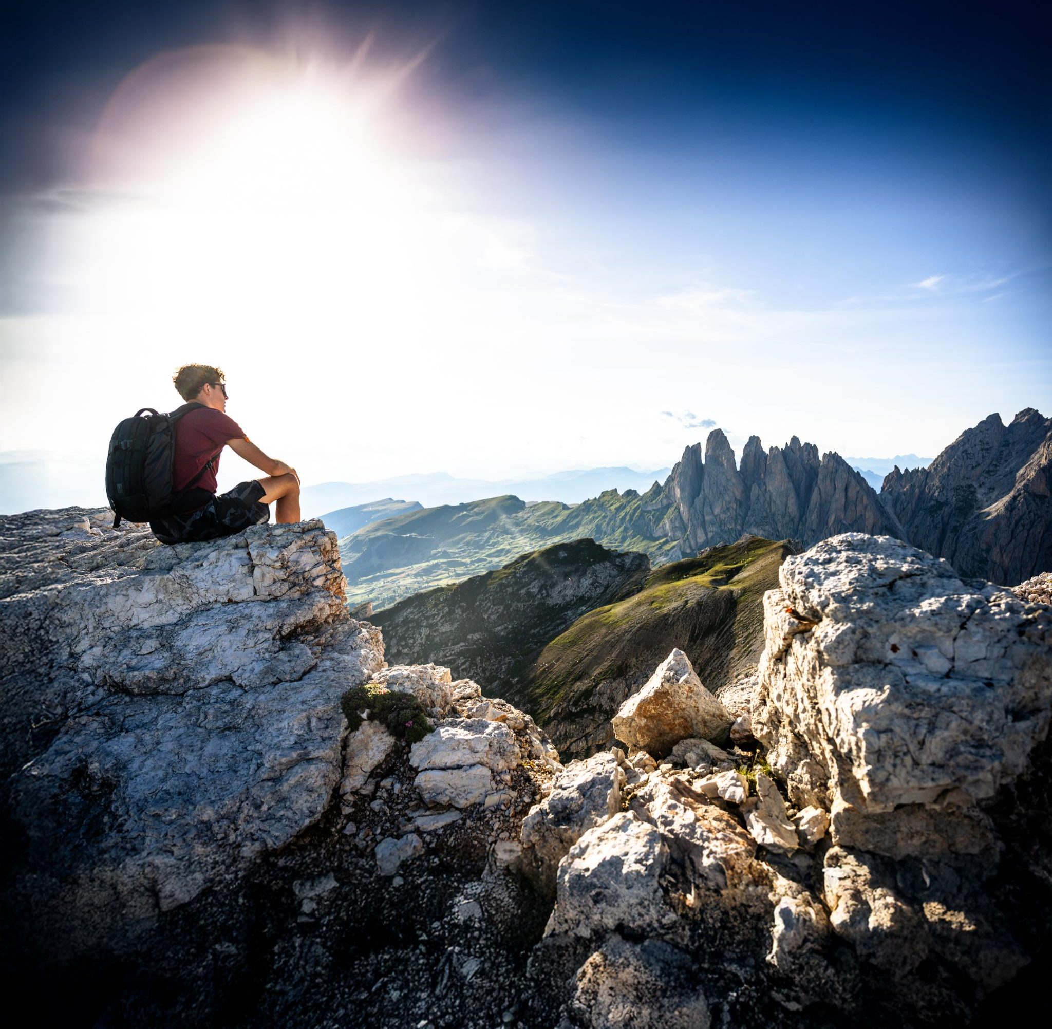
Secret Dolomites – spring hiking in Val Gardena
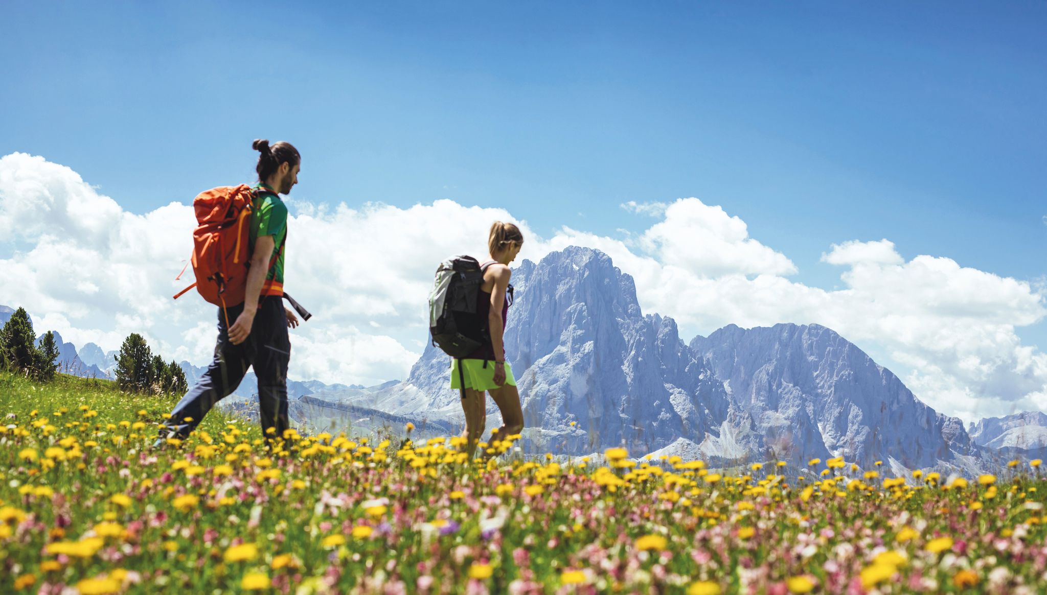
Hiking in Val Gardena – Dolomites
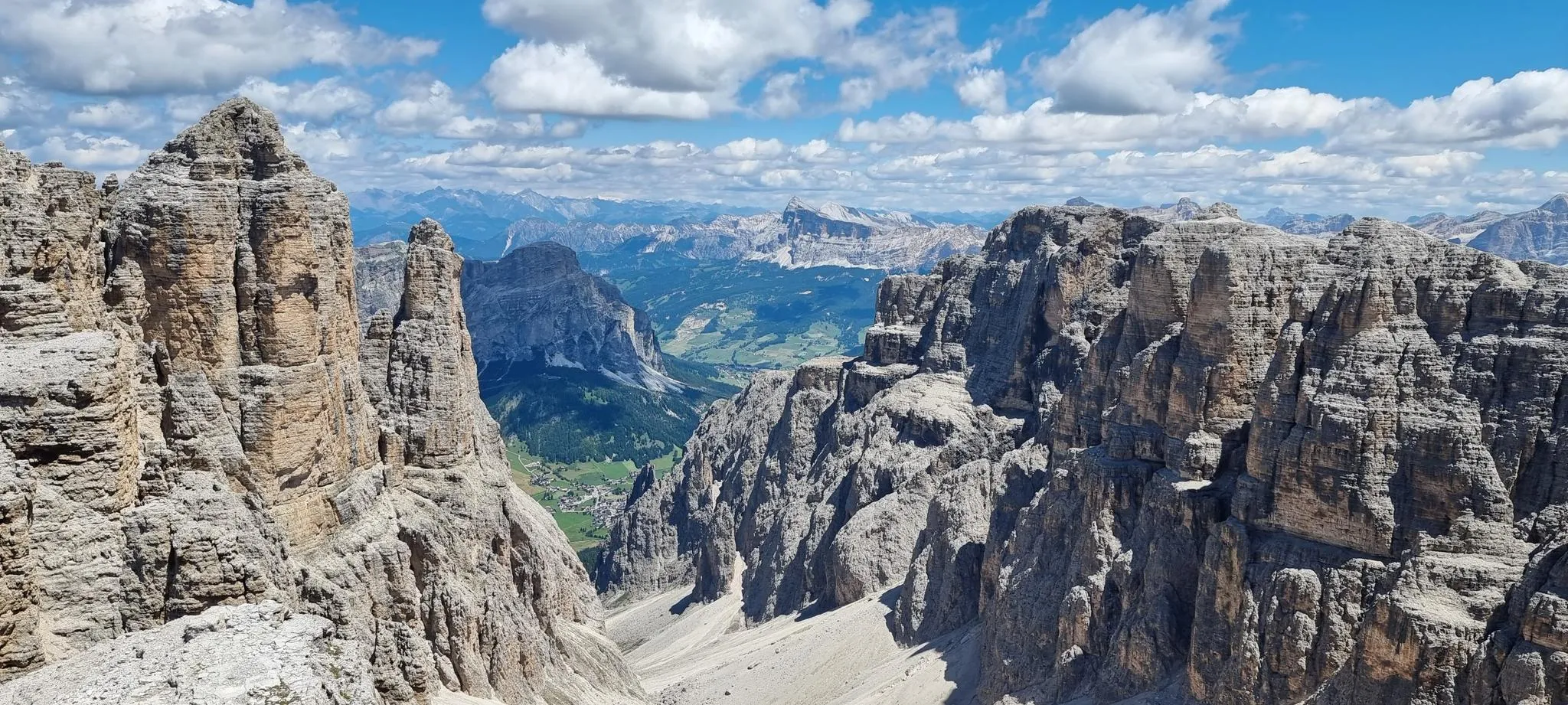
In the wake of legends – the Alta Via 2 of the Dolomites
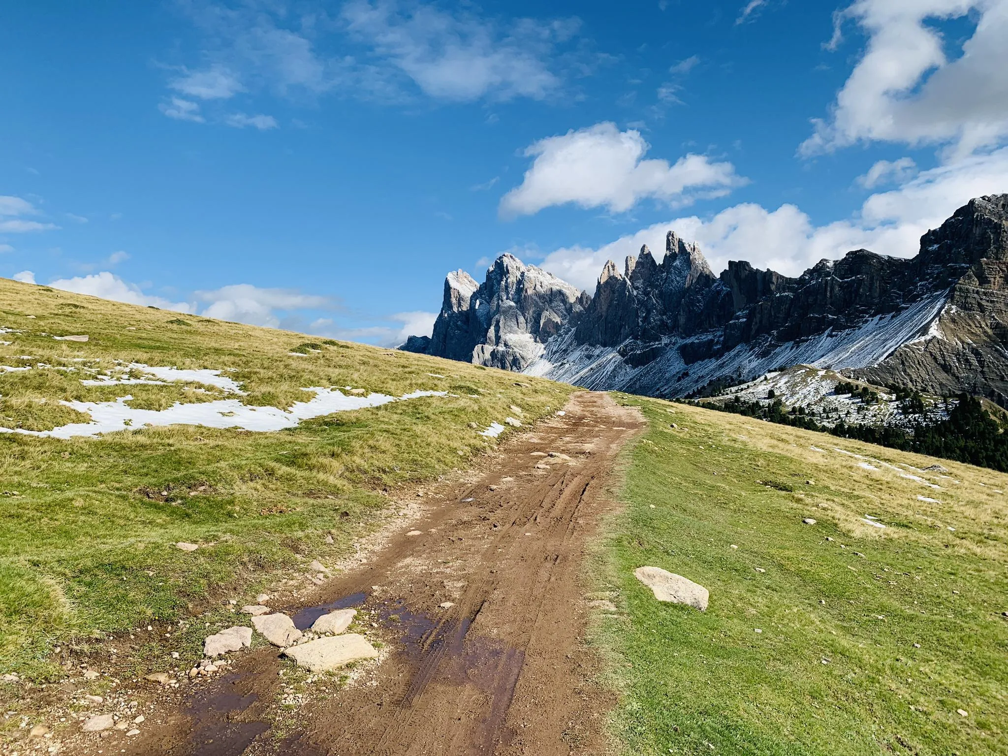
Between gorges and peaks – Dolomites UNESCO Geotrail
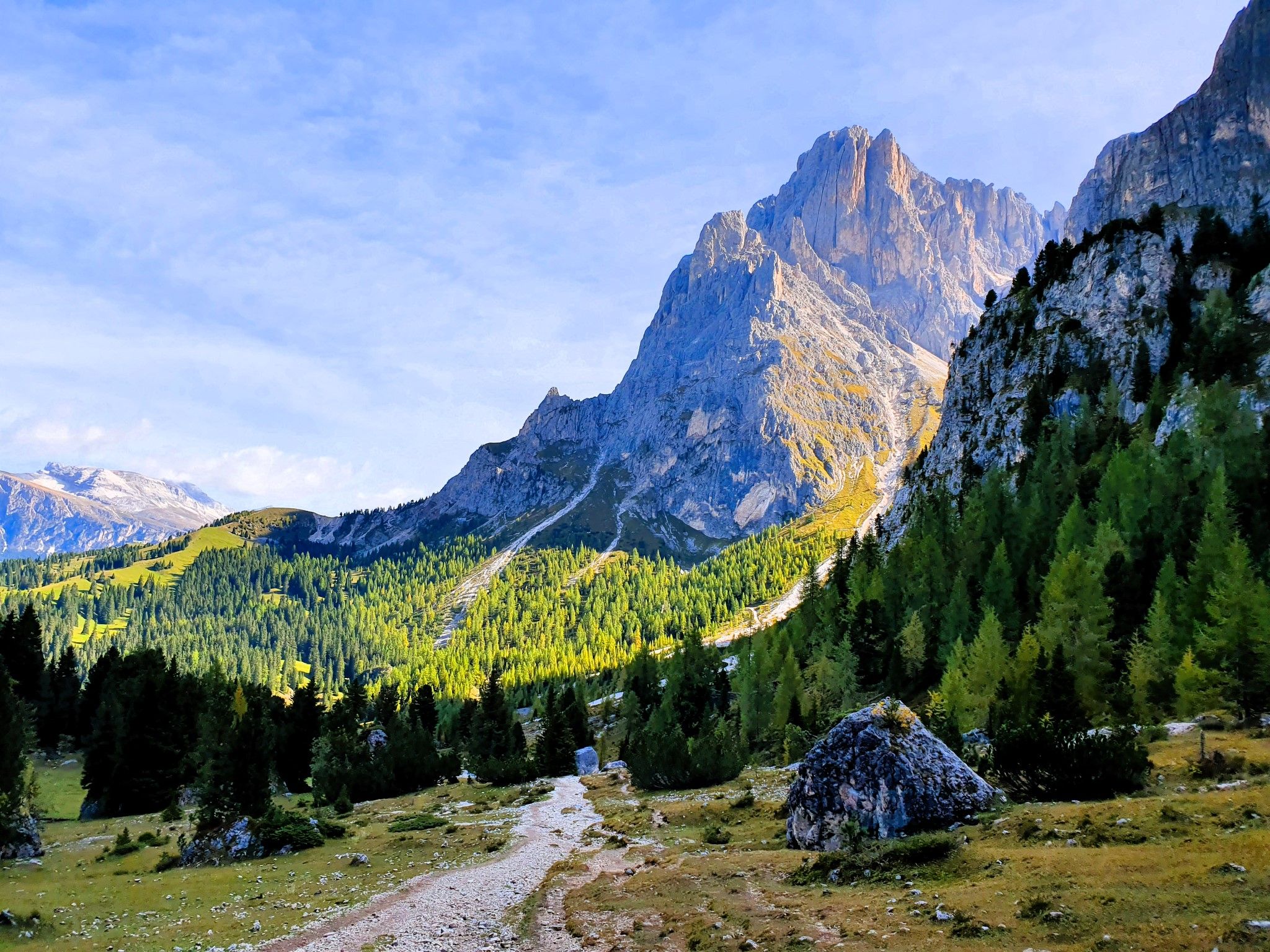
Trail running between the Sciliar and the Puez – Bolzano to Selva
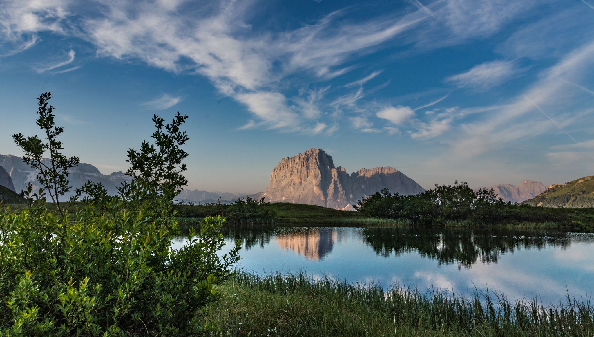
Secret Dolomites - beautiful spring in Val Gardena
Other adventures around Parch Natural Pöz-Odles - Naturpark Puez-Geisler - Parco Naturale Puez-Odle


Tips from the Community

Wonderful place to see absolutely. The majesty of the mountain
0
0

The view from Seceda to the Geisler peaks is magnificent 🥰. But beware of rip-offs❗️ Please do not pay the €5 🫷🏻, it is absolutely not worth it!!! Further up at the cable car mountain station, you definitely have a nicer and free view 👍🏻🤩, also for selfie lovers...
6
0

The Adolf Munkel Trail is the ideal route for a beautiful circular tour with recurring views of the fascinating Geisler peaks.
0
0

The Seceda summit is probably the most crowded mountain in the Dolomites these days... You should arrive before 8 a.m., because the first cable car takes you up at 8:00 or 8:30 a.m. Before that, you'll have peace and quiet, but afterward, it gets very busy and crowded. Those arriving on foot are best advised to take the ascent from Selva or the Cristauta parking lot... Once you get to the top, most people aren't interested in the Seceda itself. Because everything revolves around the view from the Seceda to the Odle Group... Although the panoramic view from the Seceda summit itself is certainly not to be sniffed at: you get a fantastic panoramic view. As of September 2025, there's a turnstile at one of the entrances to the Seceda with a €5 entrance fee, but you can avoid this!
8
0

Beautiful hut ☘️Great bread and butter with delicious ham☘️cheese and salami☘️
0
0

Stunning hut, recommended for lunch after the Putia tour and also breakfast before the tour (opens at 9am)
1
0

Beautifully situated alpine pasture at the foot of the Peitlerkofel. Prompt service and delicious food. 🍴🍺 If you can find a spot, you can admire the mountain range from the curved loungers. 😲 There's no shortage of play opportunities for children.
2
0
Frequently Asked Questions
How many family-friendly hiking trails are available in Puez-Odle Nature Park?
This guide features over 100 family-friendly hiking routes in the Puez-Odle Nature Park, ranging from easy strolls to more moderate adventures. You'll find a diverse selection to suit various ages and abilities.
What is the best time of year for family hikes in Puez-Odle Nature Park?
The best time for family hikes is typically from late spring to early autumn (May to October). During these months, the weather is generally pleasant, alpine pastures are in bloom, and most trails and mountain huts are open. Summer offers the warmest temperatures, while spring and autumn provide stunning colors and fewer crowds.
Are there any circular routes suitable for families in the Puez-Odle Nature Park?
Yes, the park offers several fantastic circular routes perfect for families. A notable option is the Peitlerkofel Circuit Trail, which allows you to experience the majestic Peitlerkofel mountain from all sides. These loops are great for ensuring you end up back where you started without retracing your steps.
What kind of natural features can we expect to see along the family trails?
The Puez-Odle Nature Park is a UNESCO World Heritage site, famous for its dramatic Dolomite peaks like the Villnöss Geisler. Along family trails, you'll encounter diverse landscapes, from rolling alpine pastures and fragrant meadows to dark coniferous forests of stone pines and spruces. Keep an eye out for picturesque small lakes, and enjoy the unique geological formations that make this area a 'building site of the Dolomites'.
Are there any specific trails that offer great views for families?
Many trails offer breathtaking views. The Adolf Munkel Trail, for instance, provides spectacular close-up views of the iconic Villnöss Geislerspitzen. You can also find incredible panoramas from viewpoints like View of the Puez and Odle groups or View of the Geisler (Odle) Group, which are accessible via various family-friendly paths.
What are some interesting landmarks or points of interest along the family-friendly routes?
Beyond the stunning natural scenery, you can discover charming mountain huts like Regensburger Hut / Rifugio Firenze or Rifugio Genova – Schlüter Hut, which often offer refreshments. Some trails might lead you near impressive summits like Seceda Summit or offer glimpses of the unique geological features highlighted in the Dolomites World Heritage Geotrail 11.
Are dogs allowed on the family hiking trails in Puez-Odle Nature Park?
Generally, dogs are welcome on trails in the Puez-Odle Nature Park, but they must be kept on a leash to protect wildlife and ensure the safety of other hikers. Always remember to clean up after your dog. Some specific areas or huts might have restrictions, so it's always good to check local signage.
Are there any stroller-friendly options for families with very young children?
While many trails in the Puez-Odle Nature Park involve varied terrain, some paths are wider and less steep, making them more suitable for sturdy, all-terrain strollers. Look for routes described as 'easy' or 'panoramic walks' in valley bottoms, such as those found in Val di Funes, which often have well-maintained paths. Always check the trail description for elevation changes and surface conditions.
What do other hikers enjoy most about family hiking in Puez-Odle Nature Park?
The Puez-Odle Nature Park is highly rated by the komoot community, with an average score of 4.6 stars from over 70,000 ratings. Reviewers often praise the stunning, dramatic Dolomite scenery, the well-maintained and clearly marked paths, and the variety of routes suitable for different family members. The presence of welcoming mountain huts along many trails is also frequently highlighted as a positive aspect.
Is public transport available to reach trailheads in the Puez-Odle Nature Park?
Yes, the region has a good public transport network, including buses, that can take you to many trailheads within and around the Puez-Odle Nature Park. This allows families to access routes without needing a car, and also enables point-to-point hikes. It's advisable to check local bus schedules in advance, especially during off-peak seasons.
Are there visitor centers in the park that can provide more information for families?
Yes, there are visitor centers located in Zans and St. Magdalena in Villnöss. These centers offer valuable insights into the park's geology, flora, fauna, and history, and can provide maps and up-to-date information on trail conditions, which can be very helpful for planning family outings.
Most popular routes around Parch Natural Pöz-Odles - Naturpark Puez-Geisler - Parco Naturale Puez-Odle
Most popular attractions around Parch Natural Pöz-Odles - Naturpark Puez-Geisler - Parco Naturale Puez-Odle

Get inspired with the komoot mobile app


Explore more
Browse the best Hikes in other regions.
