The best hikes from bus stations around Espacio Natural de la Sierra de la Demanda
4.5
(641)
3,716
hikers
36
hikes
Bus station hiking trails around Espacio Natural de la Sierra de la Demanda explore a mountainous region in northern central Spain, characterized by rugged peaks and ancient forests. The landscape features numerous glacial lakes and lagoons, remnants of its glacial past, and is shaped by rivers like the Arlanzon. Peaks such as San Millán (2,130 meters) and Monte San Lorenzo (2,270 meters) define the high-altitude terrain, while dense beech, oak, and Scots pine forests cover much of the lower elevations.…
Last updated: July 12, 2026
14.2km
03:48
170m
170m
Moderate hike. Good fitness required. Mostly accessible paths. Sure-footedness required.
4.5
(34)
132
hikers
13.7km
04:16
530m
530m
Moderate hike. Good fitness required. Easily-accessible paths. Suitable for all skill levels.

Sign up for free
4.1
(14)
95
hikers
11.0km
03:14
320m
320m
Moderate hike. Good fitness required. Easily-accessible paths. Suitable for all skill levels.
4.8
(15)
71
hikers
11.8km
03:33
350m
350m
Moderate hike. Good fitness required. Easily-accessible paths. Suitable for all skill levels.
4.6
(9)
50
hikers
Moderate hike. Good fitness required. Easily-accessible paths. Suitable for all skill levels.
Get access to more routes and recommendations from other explorers.
Sign up for free
Already have an account?
Our route recommendations are based on thousands of hikes, rides, and runs completed by other people on komoot.
Start today with a free account
Your next adventure awaits.
Login or Signup
Popular around Espacio Natural de la Sierra de la Demanda
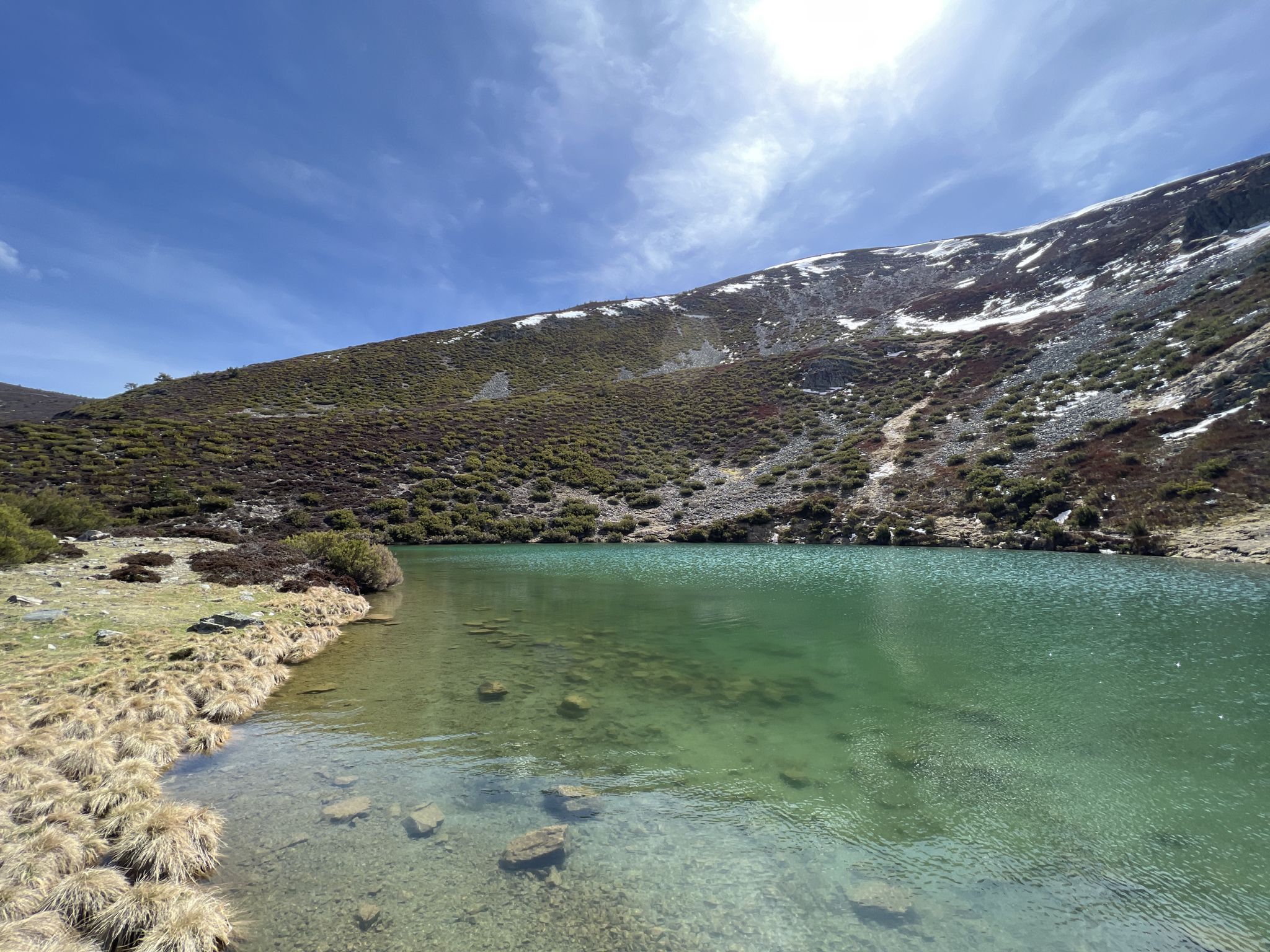
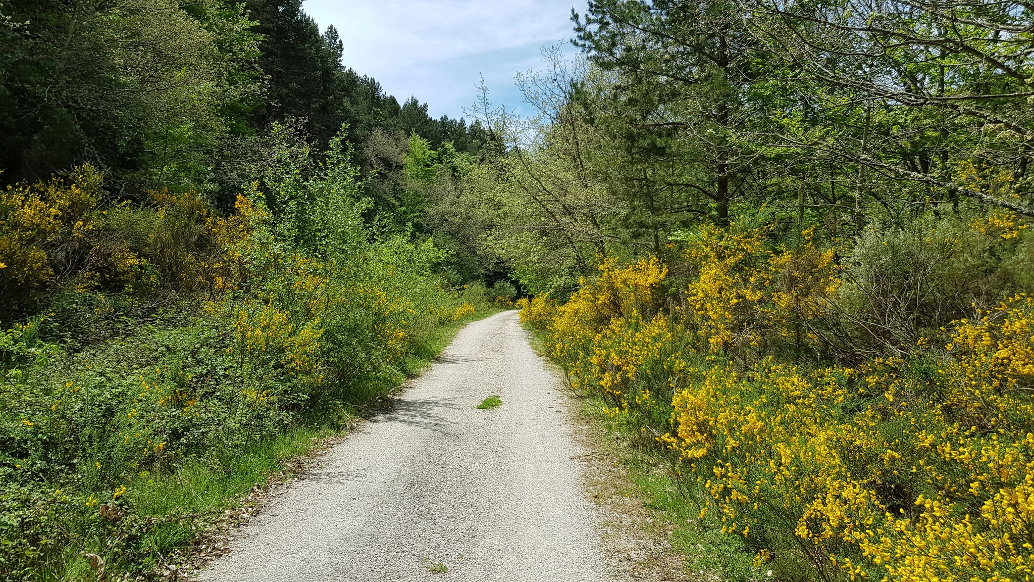
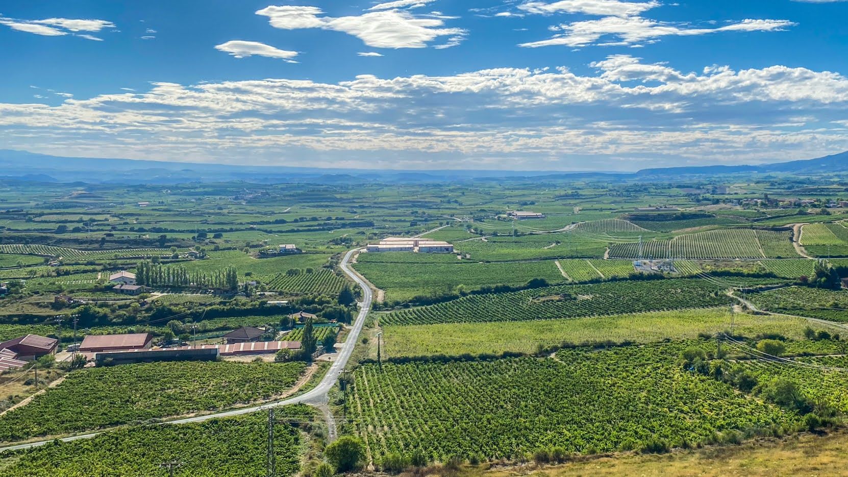
Other adventures around Espacio Natural de la Sierra de la Demanda


Tips from the Community

A beautiful town in the Pinares region
0
0

The perfect stop to replenish your energy after a bike ride (or walking, or skiing...) around Ezcaray
0
0

Ezcaray a great town for strolling / eating out and a beautiful outskirts
0
0

Nice old train station. Today a bar/restaurant, ideal for relaxing after a hike
0
0

Ezcaray is known as "the first tourist village in La Rioja", so it is not surprising that it goes from having 2,000 inhabitants to more than 15,000 in summer. Many events and parties are organized in the town, so find out well to make your adventure coincide with one of them.
0
0

Fountain and recreational area, with tables and grills.
2
0

After the curve I recommend taking the path that goes down to the right to return to Ezcaray, instead of following the road.
0
0
La Arboleda del Sur, is a group of more than 100 horse chestnut trees, which flank the beginning of the road that connects Ezcaray with Zorraquin. This group of trees, are part of those cataloged as Singular Trees of the Autonomous Community of La Rioja, for their landscape value and cultural interest.
2
0
Frequently Asked Questions
How many bus-accessible hiking trails are available in Espacio Natural de la Sierra de la Demanda?
There are over 35 hiking routes in Espacio Natural de la Sierra de la Demanda that are accessible from bus stations. These routes offer a variety of experiences, with 2 easy, 23 moderate, and 10 difficult trails to choose from.
What is the general difficulty level of bus-accessible hikes in this region?
The majority of bus-accessible hikes in Espacio Natural de la Sierra de la Demanda are rated as moderate, making them suitable for most hikers with a reasonable level of fitness. There are also several easy options for a more relaxed walk, and some challenging routes for experienced trekkers looking for significant elevation gains in the mountainous terrain.
Are there circular hiking routes accessible from bus stations?
Yes, many of the trails accessible from bus stations are circular, allowing you to start and end your hike at the same point. An example is the Aldea del Pinar y Rabanera del Pinar — circular by the Camino de Santiago, which offers a moderate 14 km loop.
Are there family-friendly hiking options accessible by bus?
Yes, the region offers several easy walks perfect for families, often through ancient forests or along river valleys. These trails are generally shorter with less elevation gain, providing a pleasant outdoor experience for all ages. Look for routes starting from villages like Pineda de la Sierra or Pradoluengo, which often have gentler paths.
Can I bring my dog on these bus-accessible trails?
Generally, dogs are welcome on trails in Espacio Natural de la Sierra de la Demanda, but it's always best to keep them on a leash, especially in areas with wildlife or near livestock. Remember to carry water for your dog and clean up after them to preserve the natural environment.
What kind of natural landmarks can I expect to see along these routes?
The bus-accessible routes often lead through diverse landscapes. You might encounter dense beech and oak forests, remnants of glacial activity like lagoons, and stunning mountain views. Notable peaks and passes include Campiña and San Millán (2,131 m), offering panoramic vistas. The region is also known for its rivers and, in spring, meltwater waterfalls.
Are there any historical or cultural points of interest near the bus-accessible trails?
Yes, the region is rich in history. Many trails pass through charming villages with traditional architecture, such as Pineda de la Sierra with its Romanesque church. You can also discover archaeological remains, old mines, and even the eerie Necrópolis de Cuyacabras with its rock-carved tombs. The ancient Vía Verde de la Sierra de la Demanda, an old railway line converted into a greenway, is also accessible for walking.
What do other hikers enjoy the most about hiking in Espacio Natural de la Sierra de la Demanda?
The area is highly rated by the komoot community, with an average score of 4.48 stars. Reviewers often praise the serene and authentic connection with nature, the diverse landscapes ranging from ancient forests to rugged peaks, and the sense of tranquility found on the trails.
What is the best time of year to hike in Espacio Natural de la Sierra de la Demanda using public transport?
The best time to hike is generally from late spring to early autumn (May to October). During spring, you can witness lush greenery and flowing waterfalls from meltwater. Summer offers pleasant temperatures for higher altitude trails, though some peaks can be snow-covered from October to May. Always check local weather conditions before heading out.
Are there any routes from Ezcaray bus station that explore the famous beech forests?
Yes, Ezcaray is an excellent starting point for exploring the region's beautiful beech forests. A popular option is the Collado de Sagastia – Beech Forest of GR 190 loop from Ezcaray, a moderate 13.7 km hike that takes you through these picturesque woodlands.
Can I find cafes or restaurants near the bus stations for refreshments after a hike?
Many of the villages that serve as bus stops and trailheads, such as Ezcaray, Salas de los Infantes, and Pineda de la Sierra, offer local cafes, bars, and restaurants where you can enjoy refreshments and traditional cuisine after your hike. These establishments provide a great opportunity to experience local culture.
Most popular routes around Espacio Natural de la Sierra de la Demanda
Most popular attractions around Espacio Natural de la Sierra de la Demanda

Get inspired with the komoot mobile app


Explore more
Browse the best Hikes in other regions.
