The best hikes from bus stations around National Park Ubiñas-La Mesa
4.5
(955)
7,359
hikers
30
hikes
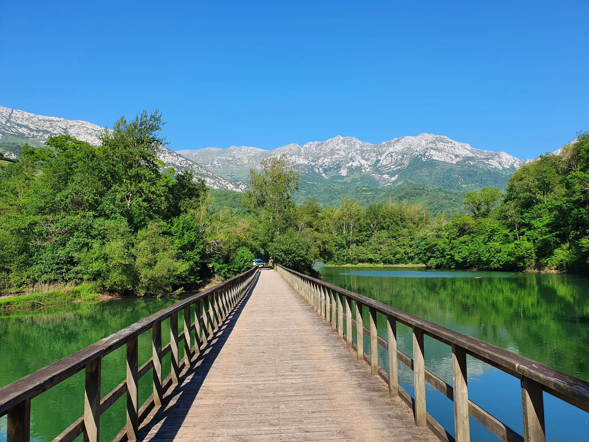
Bus station hiking trails around National Park Ubiñas-La Mesa offer access to a diverse landscape in Asturias, Spain. The region is characterized by the Peña Ubiña massif, with peaks exceeding 2,000 meters, and features glacial valleys, extensive beech forests, and high mountain pastures. Rivers, gorges, and waterfalls are common, contributing to varied terrain suitable for hiking. Karstic formations and ancient Roman roads also define the park's natural and historical features.
Best bus station hiking trails around National Park Ubiñas-La Mesa
…Last updated: October 29, 2026
4.3
(6)
50
hikers
17.0km
04:54
280m
280m
Moderate hike. Good fitness required. Mostly walkable paths. Sure-footedness required.
5.0
(1)
23
hikers
12.0km
03:20
210m
210m
Moderate hike. Good fitness required. Easily walkable paths.

5.0
(2)
19
hikers
17.6km
05:24
580m
580m
Hard hike. Very good fitness required. Easily walkable paths.
4.0
(3)
21
hikers
9.75km
02:56
300m
290m
Moderate hike. Good fitness required. Easily walkable paths.
11
hikers
12.8km
03:29
180m
180m
Moderate hike. Good fitness required. Easily walkable paths.
Get access to more routes and recommendations from other explorers.
Already have an account?
Our route recommendations are based on thousands of hikes, rides, and runs completed by other people on komoot.
Start today with a free account
Your next adventure awaits.
Popular around National Park Ubiñas-La Mesa
Other adventures around National Park Ubiñas-La Mesa

Tips from the Community

Do not lean on the railing; someone has already fallen and died because there are sections of rotten wood.
0
0

. The Cochantoria shelter has paintings on the ceiling. The drawings are protected by a metal mesh, like the rest of the paintings discovered in the Fresnedo caves. Specialists have discovered 21 figures of different types in the stone vault, with many groups of dots and V-shaped figures. There is also a human figure of the “swallow” type and several strokes that could be of goats, built with rough paired lines that could be the legs or horns and a thick stroke for the body. Scientists use special techniques to discover the paintings. Hikers have to make do with guessing or intuiting the figures with more marked strokes.
0
0

But then you go to Proaza by normal route ( or viceversa)
0
0

Desfiladero de Peñas Juntas is a gorge located in the Senda del Oso in Proaza. The Senda del Oso is a popular cycling route that follows the old mining train route and passes through three gorges, seven bridges, and more than thirty tunnels. The Desfiladero de Peñas Juntas is one of the most beautiful and unique parts of the route, where the walls of the gorge are so close that they seem to touch each other. The gorge is also known for its stunning natural beauty and is a popular destination for tourists. The route is suitable for all ages and is an excellent way to explore the natural beauty of Asturias.
1
0

Senda del oso price Route to do it by bike or on foot
0
0

Path that comes from the center of Riellu and that is part of the set of routes called the Senda del Oso. In addition, you see herds of cattle and in this case bulls typical of these lands.
0
1
Impressive cave that is located in a strait where Monte el Miru and the Cueva Huerta mountain have created a gorge where the cave is located at their feet. It's worth stopping by to see this big hole in the rock.
0
1
Small town located at the foot of the Río Trubia and which is also surrounded by large walls that fall from the surrounding mountains!
0
0
Frequently Asked Questions
How many bus station hiking trails are available in National Park Ubiñas-La Mesa?
There are over 20 bus station accessible hiking trails featured in this guide for National Park Ubiñas-La Mesa. These routes are specifically curated to start and end conveniently near public transport stops, allowing you to explore the park's stunning landscapes without a car.
What kind of difficulty can I expect from bus station hikes in this region?
The trails range from easy to difficult, catering to various fitness levels. You'll find a good mix, with 3 easy, 12 moderate, and 9 difficult routes. This allows for diverse experiences, from gentle strolls through beech forests to more challenging ascents in the mountainous terrain of the Peña Ubiña massif.
Are there circular hiking routes available from bus stations?
Yes, many of the trails are designed as circular routes, allowing you to start and end your hike at the same bus stop. For example, the Peñas Juntas Gorge – Foz de los Pícaros loop from Caranga and the Hiking loop from La Plaza are excellent options for a round trip.
What can I see along the bus station hiking trails in National Park Ubiñas-La Mesa?
The trails offer a rich variety of natural and cultural sights. You can expect to see dramatic mountainous landscapes, diverse forests including extensive beech groves, and numerous rivers and waterfalls like the Cascada del Xiblu. The park also features high mountain pastures and unique karstic formations. You might also encounter traditional Asturian mountain architecture in the villages. For specific points of interest, consider exploring highlights like La Cubilla Pass or Ventana Pass.
Are there any family-friendly bus station hikes?
Yes, there are several family-friendly options among the bus station accessible trails. Look for routes marked as 'easy' or 'moderate' with shorter distances and less elevation gain. These often lead through charming villages or along river valleys, providing a pleasant experience for all ages. The region's diverse forests, like those in Montegrande, can offer shaded and engaging paths for families.
What is the best time of year to hike in National Park Ubiñas-La Mesa using public transport?
Spring and autumn are generally considered the best times. In spring, the landscapes burst with greenery and wildflowers, while autumn offers spectacular displays of color in the beech and oak forests. Summer is also popular, especially for higher altitude trails, but can be warmer. Winter hiking is possible but requires appropriate gear and experience due to snow and ice, particularly in the higher elevations.
Can I bring my dog on these bus station hiking trails?
Many trails within National Park Ubiñas-La Mesa are dog-friendly, but it's crucial to keep your dog on a leash, especially due to the presence of wildlife (including brown bears and chamois) and grazing livestock. Always check local regulations for specific areas or protected zones within the park. Ensure your dog is well-behaved and that you carry waste bags.
What do other hikers enjoy the most about hiking in National Park Ubiñas-La Mesa?
The area is highly rated by the komoot community, with an average score of 4.5 stars. Reviewers often praise the dramatic mountainous landscapes, the tranquility of the diverse forests, and the well-preserved natural beauty. Many appreciate the opportunity to explore a UNESCO Biosphere Reserve with rich biodiversity and historical significance, often highlighting the stunning views from peaks and passes.
Are there any routes that pass by water features like waterfalls or rivers?
Absolutely. The park is traversed by several rivers, and many routes follow their courses or lead to picturesque waterfalls. The Val de Sampedro river gorge, featuring the Cueva Huerta, is a notable example. While not explicitly listed in the provided routes, the region is known for its numerous torrents, streams, and waterfalls, such as the Cascada del Xiblu, offering scenic water features along many paths.
Are there any bus station routes that offer historical or cultural insights?
Yes, the region is rich in history. Ancient Roman roads like the Camín Real de la Mesa and Vía Carisa, which once connected the region with the León plateau, now serve as hiking paths with significant historical value. You might also encounter traditional Asturian mountain architecture, ancient corrals, and shepherd's huts, reflecting centuries of local heritage. The Valdemurio Footbridge – Valdemurio Reservoir loop from Quirós offers a blend of natural beauty and local charm.
What should I pack for a bus station hike in National Park Ubiñas-La Mesa?
Given the varied terrain and mountain weather, it's advisable to pack layers of clothing, waterproof outerwear, sturdy hiking boots, and sufficient water and snacks. A map or GPS device (like komoot's app) is highly recommended, as is sun protection. For longer or more challenging routes, consider trekking poles. Always check the weather forecast before you set out.
Most popular routes around National Park Ubiñas-La Mesa
Most popular attractions around National Park Ubiñas-La Mesa

Get inspired with the komoot mobile app


Explore more
Browse the best Hikes in other regions.
