The best hikes from bus stations around Regionaler Naturpark Schaffhausen
4.5
(13025)
61,278
hikers
144
hikes
Bus station hiking trails around Regionaler Naturpark Schaffhausen traverse a diverse landscape characterized by the low, rolling Randen hills, verdant river valleys, and extensive vineyards. The region features broadleaf forests, open valleys with wildflowers, and the Rhine River flowing through. This varied topography, including slopes, valleys, and the Randen plateau, creates a range of habitats for hikers to explore.
Best bus station hiking trails around Regionaler Naturpark Schaffhausen
- The most popular bus station hiking route is Buchberg Panorama route, a 6.0 miles (9.6 km) moderate trail that takes 2 hours 38 minutes to complete, offering scenic views across the landscape.
- Another top favourite among local hikers is Reiatweg, a difficult 11.7 miles (18.9 km) path. This route explores old smuggler paths and vineyards, providing impressive vistas of the Hegau volcanic landscape.
- Local hikers also love the Rundwanderung bei Schleitheim über die Seldenhalde, a 6.5 miles (10.4 km) trail leading through varied terrain, often completed in about 2 hours 56 minutes.
- Hiking around Regionaler Naturpark Schaffhausen is defined by rolling hills, river valleys, and vineyards, with a network of routes offering options for different ability levels.
- The routes in Regionaler Naturpark Schaffhausen are highly rated by the komoot community with an average score of 4.6 stars from more than 12,000 reviews. More than 60,000 hikers have used komoot to explore Regionaler Naturpark Schaffhausen's varied terrain.
Last updated: July 12, 2026
4.7
(36)
117
hikers
9.63km
02:38
150m
150m
Moderate hike. Good fitness required. Easily-accessible paths. Suitable for all skill levels.
4.5
(14)
105
hikers
18.9km
05:25
440m
440m
Hard hike. Very good fitness required. Easily-accessible paths. Suitable for all skill levels.

Sign up for free
4.5
(14)
63
hikers
10.4km
02:56
210m
210m
Moderate hike. Good fitness required. Mostly accessible paths. Sure-footedness required.
3.0
(1)
15
hikers
16.7km
05:04
550m
490m
Hard hike. Very good fitness required. Mostly accessible paths. Sure-footedness required.
6
hikers
5.20km
01:24
60m
60m
Easy hike. Great for any fitness level. Easily-accessible paths. Suitable for all skill levels.
Get access to more routes and recommendations from other explorers.
Sign up for free
Already have an account?
Our route recommendations are based on thousands of hikes, rides, and runs completed by other people on komoot.
Start today with a free account
Your next adventure awaits.
Login or Signup
Popular around Regionaler Naturpark Schaffhausen
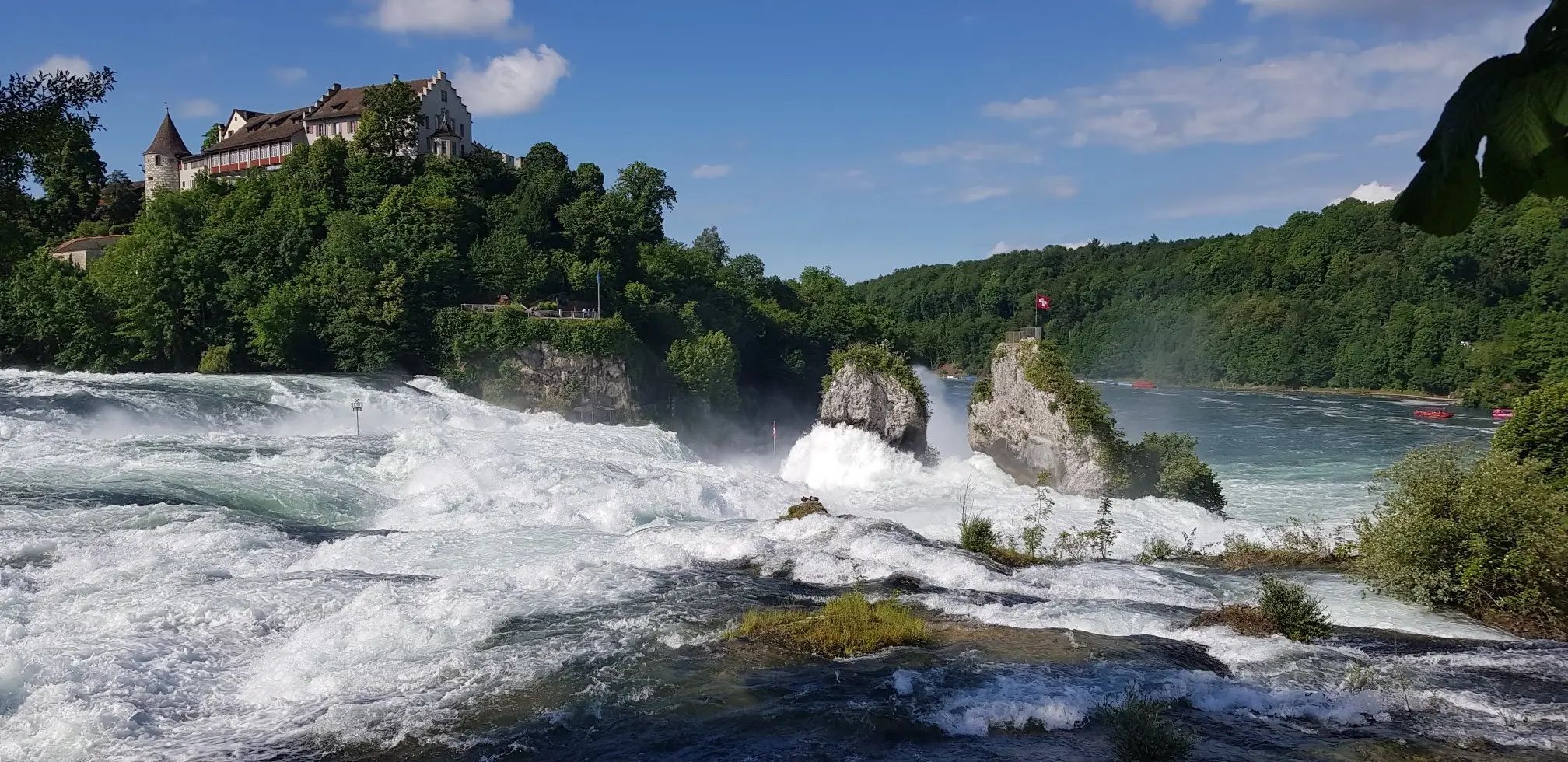
Hochrhein-Höhenweg – Forests and rivers from Germany to Switzerland
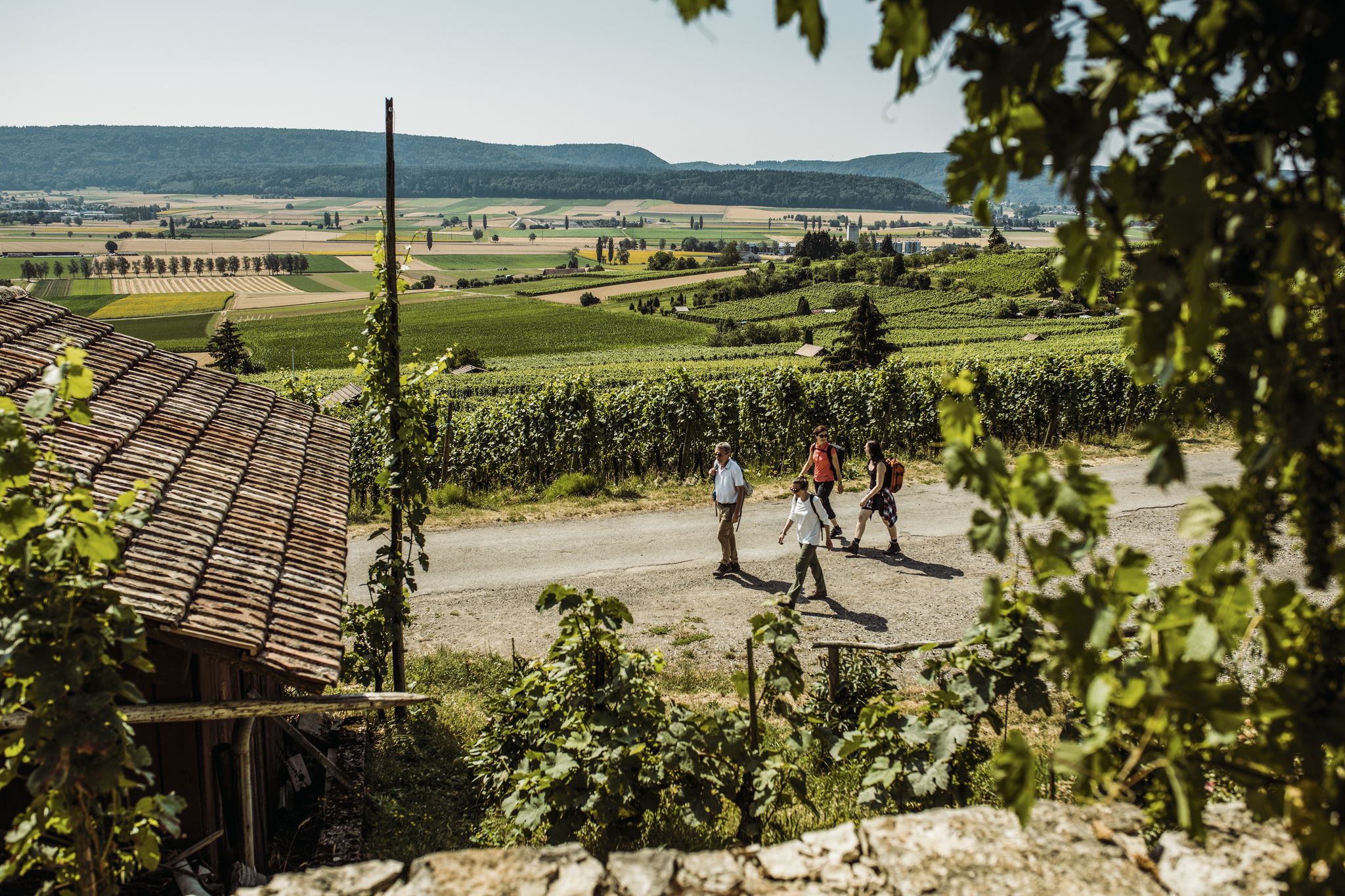
Woodland, water and far-reaching views – start of season hiking hits
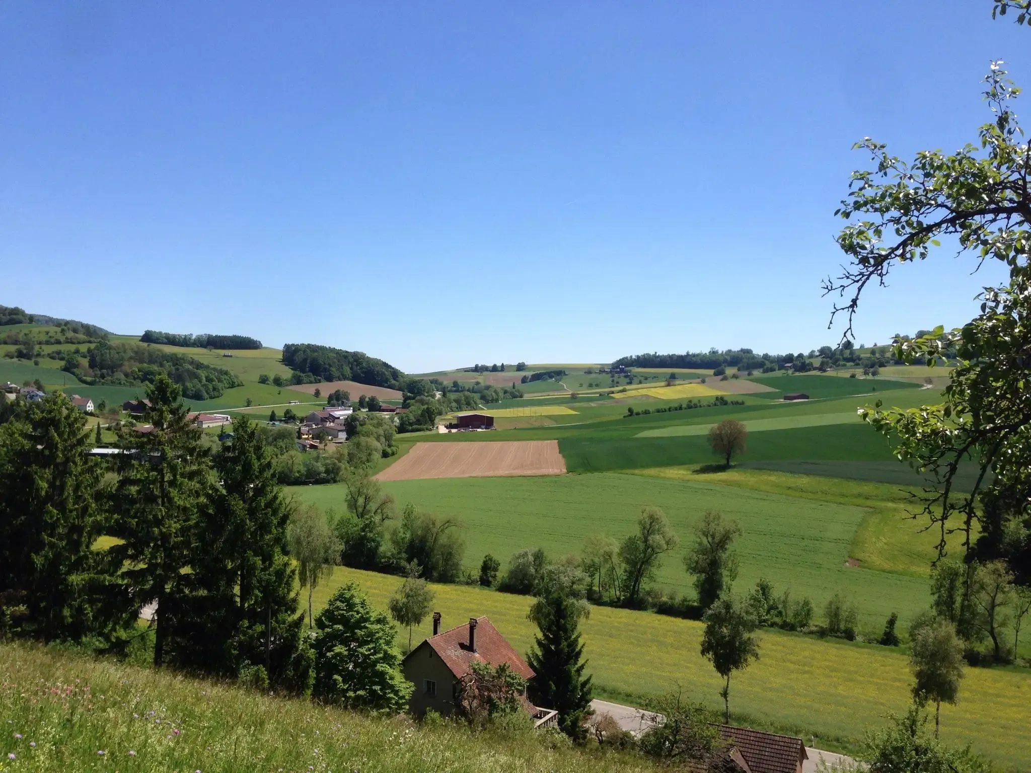
Klettgau-Rhein-Weg – hiking at the feet of the Alps
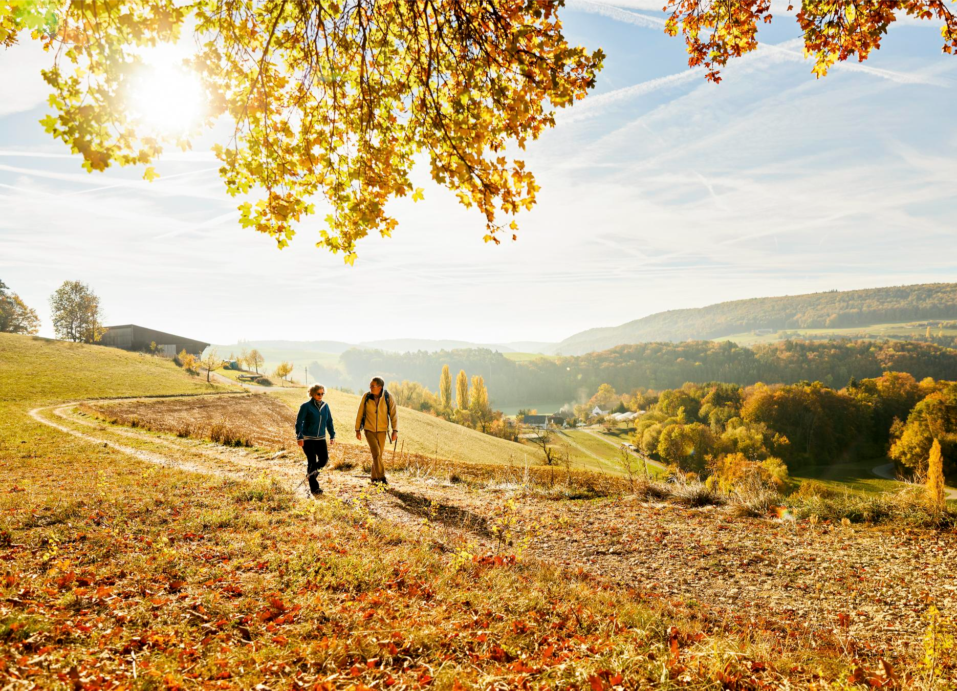
Rhine, hills and vines – autumn hiking tips in Schaffhauserland

Lake and Alps Adventure – explore 100 dreamy places in our cycling region!
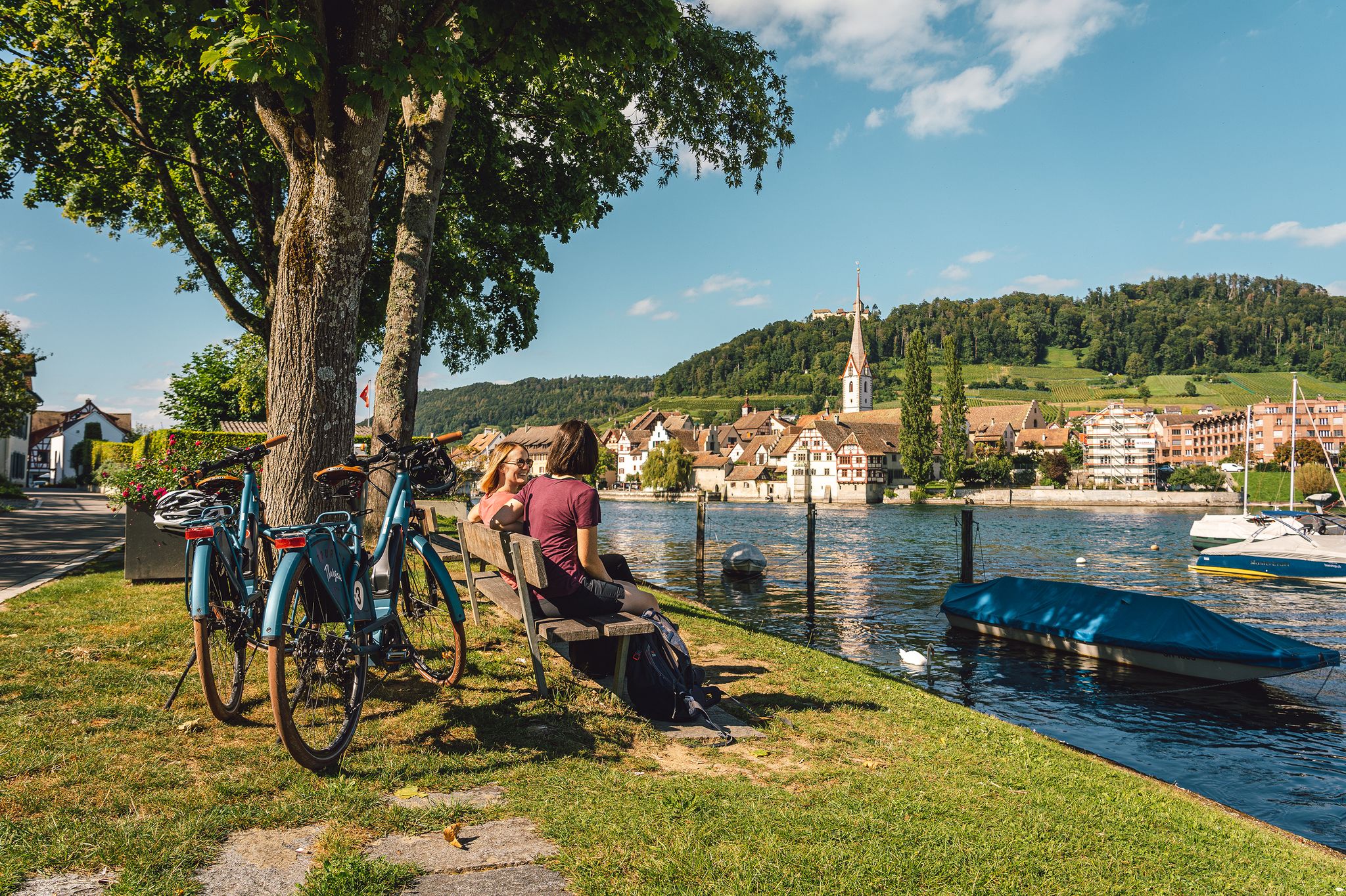
Rhine, vines, Randen – the top 5 cycle routes in Schaffhauserland
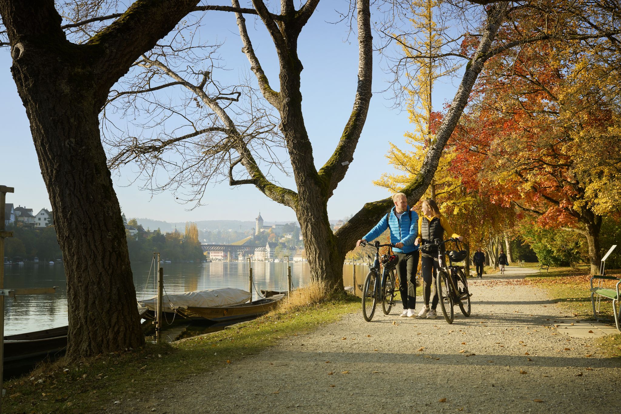
Rhine, Vines and Randen – autumn cycling routes in Schaffhauserland
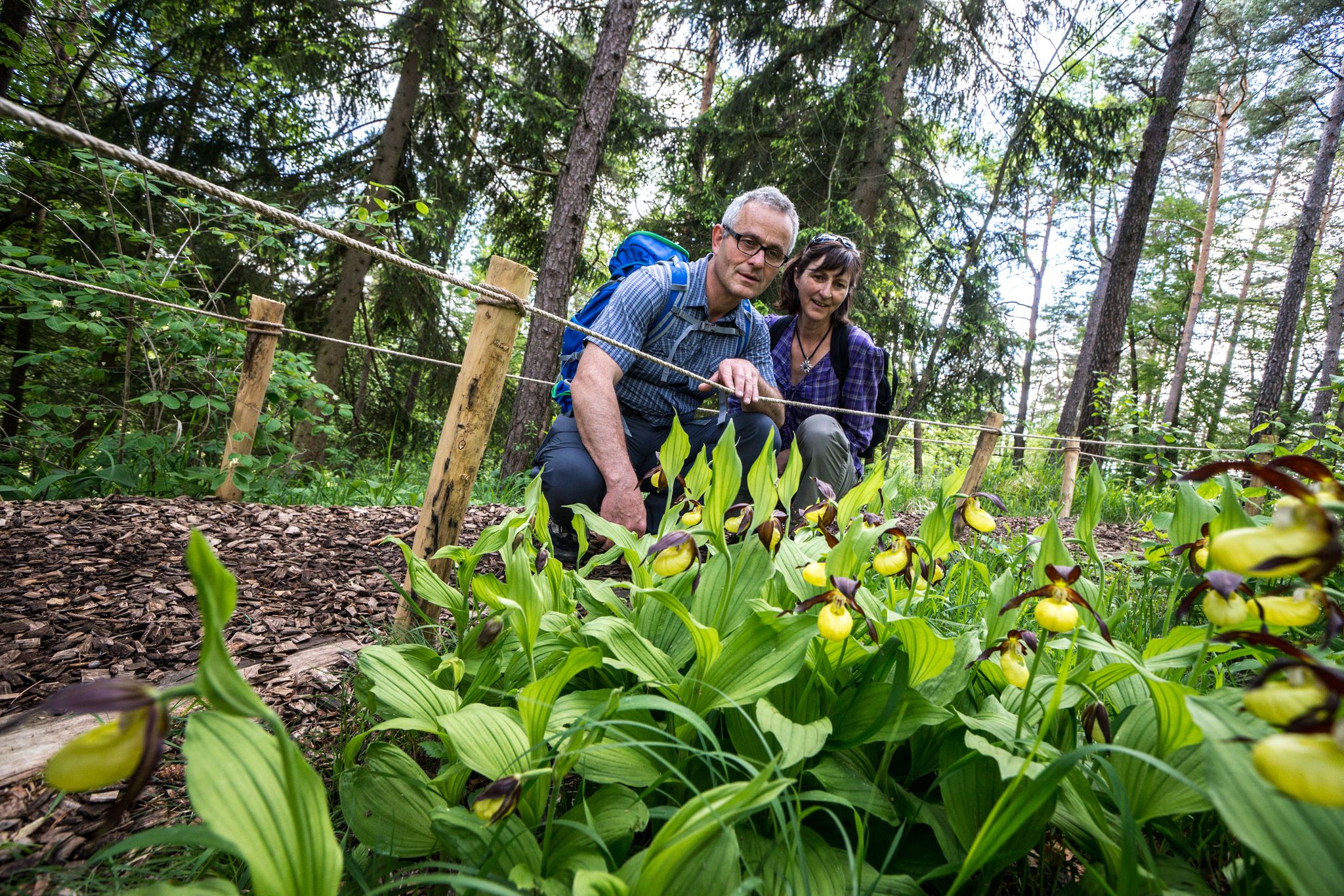
Wandern zwischen Rhein und Reben – Frühling im Schaffhauserland
Other adventures around Regionaler Naturpark Schaffhausen


Tips from the Community

Pretty here, very pretty Pretty here, very pretty
3
0

A beautiful picnic area with a sensational view; there is even a supply of wood for grilling.
0
0

Somewhat hidden in the "Flüe" (a local name for a rock formation), you'll find the Nagelfluh cave, also known as "Winterlislöchli". The area, with benches and a barbecue, offers a fantastic view of the German Klettgau region. According to local legend, a peddler woman named Winterlise once lived here for a time.
0
0
Between Wilchingen and Osterfingen, extensive vineyards shape the landscape of the Klettgau region. Rows of Pinot Noir, Riesling-Silvaner, and Pinot Gris stretch across the rolling hills, giving the region its distinctive character. The wine country reveals itself in a different light each season – from the fresh green of spring to the warm colors of autumn.
0
0
Take your time here to consciously perceive the landscape. In spring, the Seldenhalde transforms into a sea of white blossoms – countless snowdrops line the slopes and create a particularly atmospheric accent along the path.
0
0
Here you'll find Switzerland's only accessible gypsum mine. On select days, you can immerse yourself in the world of historical gypsum mining. A small train takes you into the tunnel, where you'll learn more about the work of the miners in the 18th and 19th centuries. Information about public tours can be found on the Schaffhauserland Tourism website: https://schaffhauserland.ch/buchen/angebote-erlebnisse/oeffentliche-fuehrungen.html#/
0
1
Frequently Asked Questions
How many bus-accessible hiking trails are available in Regionaler Naturpark Schaffhausen?
There are over 140 bus-accessible hiking trails in Regionaler Naturpark Schaffhausen. These routes cater to various skill levels, with 64 easy, 73 moderate, and 7 difficult options.
What kind of landscapes can I expect on these bus station hikes?
The trails accessible from bus stations offer a diverse range of landscapes. You'll encounter the rolling Randen hills, verdant river valleys along the Rhine, extensive vineyards, and rich broadleaf forests. The region is known for its picturesque blend of natural beauty and agricultural charm.
Are there easy, family-friendly trails accessible by bus?
Yes, there are many easy trails suitable for families. For instance, the Genussweg zwischen Wilchingen und Osterfingen is an easy route that offers a pleasant experience. The region also features interactive trails like the Beaver Trail (Biberweg) between Rüdlingen and Teufen, designed for families and nature enthusiasts, though specific bus access for this trail would need local timetable checks.
Are there longer or more challenging routes I can start from a bus stop?
Absolutely. For those seeking a challenge, routes like the Reiatweg offer a 19-kilometer circular hike exploring old smuggler paths and vineyards with impressive vistas. Another demanding option is the Randen Weg, which features significant elevation changes across its 16.7 km.
What natural attractions or landmarks can I see along bus-accessible trails?
Many trails offer access to interesting natural features. You can explore various geological formations, including several caves and gorges. Highlights include the Kesslerloch Cave, Felsentäli Gorge, and the Devil's Kitchen Gorge. The region's vineyards and the Rhine River itself are also prominent natural landmarks.
Are there circular hiking routes that start and end at bus stations?
Yes, many routes are designed as circular walks, making them convenient for public transport users. The Rundwanderung bei Schleitheim über die Seldenhalde is a great example of a circular trail that allows you to return to your starting point without needing additional transport.
What is the best season for hiking from bus stations in Regionaler Naturpark Schaffhausen?
The park is beautiful year-round, but spring and autumn are particularly recommended. In spring, wildflowers bloom across the valleys and forests, while autumn offers stunning foliage in the broadleaf woods and vineyards. The relatively low elevation of the Randen hills makes them enjoyable for long walks during these seasons.
Are the bus-accessible hiking trails in Regionaler Naturpark Schaffhausen dog-friendly?
Most hiking trails in Regionaler Naturpark Schaffhausen are dog-friendly, provided dogs are kept on a leash, especially in nature protection areas or near livestock. Always check local signage for specific restrictions, but generally, your canine companion is welcome on these routes.
How do other hikers rate the bus-accessible trails in the park?
The trails in Regionaler Naturpark Schaffhausen are highly rated by the komoot community, with an average score of 4.55 stars from over 12,000 ratings. Reviewers often praise the well-maintained paths, the diverse scenery, and the excellent public transport accessibility.
Are there any trails that offer panoramic views of the region?
Yes, several trails provide impressive panoramic views. The Buchberg Panorama route is specifically designed to showcase wide vistas. The Randen hills, including the Lange Rande, also offer numerous viewpoints across the park's diverse landscapes, including the Hegau volcanic landscape and the Rhine valley.
Can I find cafes or restaurants along bus-accessible hiking routes?
Many villages within Regionaler Naturpark Schaffhausen, which serve as bus stops, offer cafes and restaurants. While specific establishments vary by route, you'll often find opportunities for refreshments in towns like Stein am Rhein, Thayngen, or Wilchingen, especially on popular routes that pass through these settlements.
Most popular routes around Regionaler Naturpark Schaffhausen
Most popular attractions around Regionaler Naturpark Schaffhausen

Get inspired with the komoot mobile app


Explore more
Browse the best Hikes in other regions.
