The best walks and hikes around Regionaler Naturpark Schaffhausen
4.5
(13110)
61,511
hikers
391
hikes
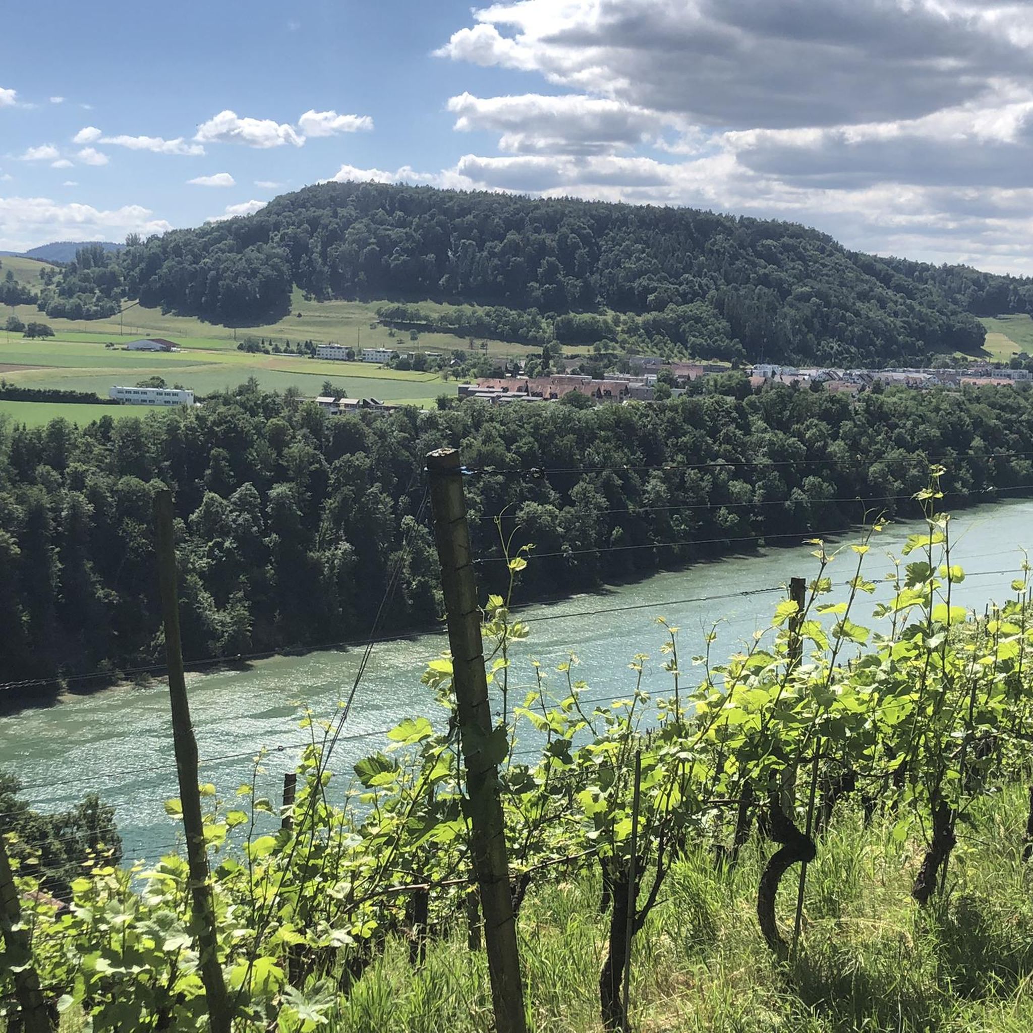
Hiking around Regionaler Naturpark Schaffhausen offers diverse landscapes, including the rolling Randen hills, expansive vineyards, and lush forests. The Rhine River forms a significant part of its scenery, with trails often running alongside its banks. The park's varied topography also features picturesque valleys and the Randen Plateau. Broadleaf forests dominated by beech, oak, and maple trees are common throughout the region.
Best hiking trails around Regionaler Naturpark Schaffhausen
- The most popular hiking route is Buchberg Panorama route, a 6.0…
Last updated: July 14, 2026
4.7
(36)
118
hikers
9.63km
02:38
150m
150m
Moderate hike. Good fitness required. Easily-accessible paths. Suitable for all skill levels.
4.5
(14)
106
hikers
18.9km
05:25
440m
440m
Hard hike. Very good fitness required. Easily-accessible paths. Suitable for all skill levels.

Sign up for free
4.5
(14)
63
hikers
10.4km
02:56
210m
210m
Moderate hike. Good fitness required. Mostly accessible paths. Sure-footedness required.
3.0
(1)
15
hikers
16.7km
05:04
550m
490m
Hard hike. Very good fitness required. Mostly accessible paths. Sure-footedness required.
6
hikers
5.20km
01:24
60m
60m
Easy hike. Great for any fitness level. Easily-accessible paths. Suitable for all skill levels.
Get access to more routes and recommendations from other explorers.
Sign up for free
Already have an account?
Our route recommendations are based on thousands of hikes, rides, and runs completed by other people on komoot.
Start today with a free account
Your next adventure awaits.
Login or Signup
Popular around Regionaler Naturpark Schaffhausen
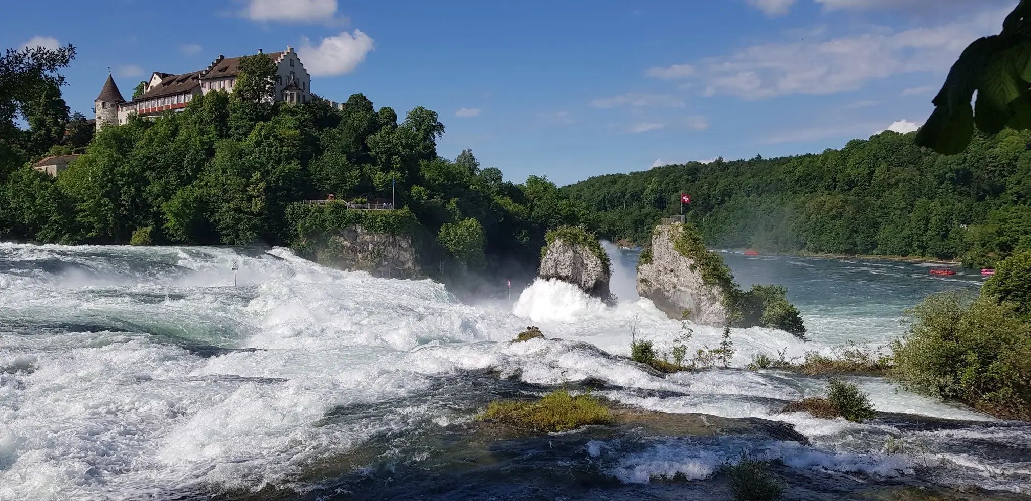
Hochrhein-Höhenweg – Forests and rivers from Germany to Switzerland
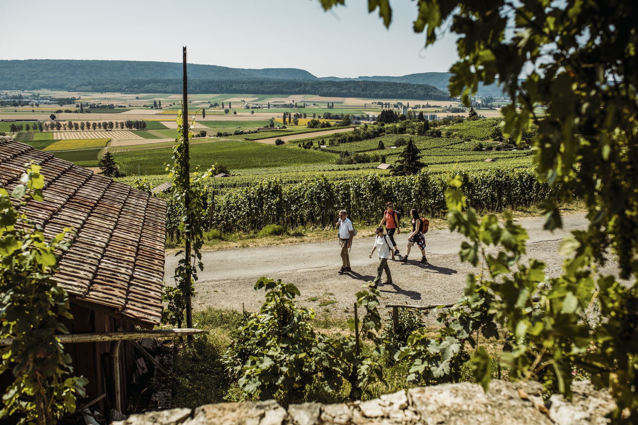
Woodland, water and far-reaching views – start of season hiking hits
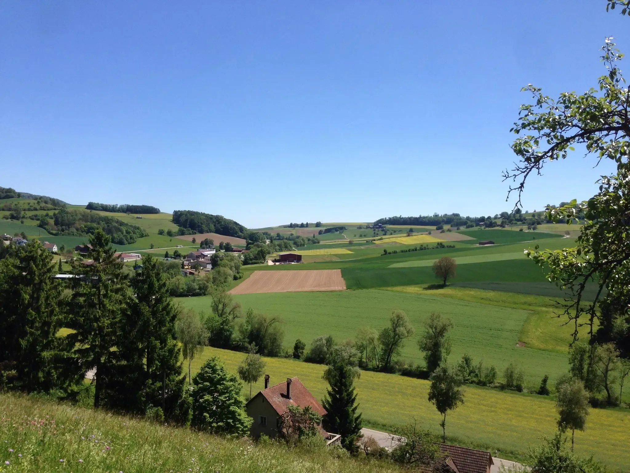
Klettgau-Rhein-Weg – hiking at the feet of the Alps
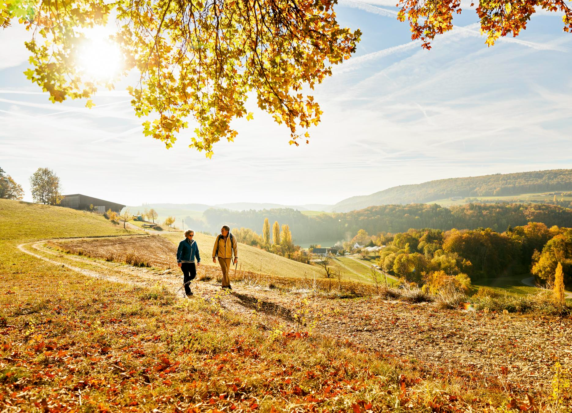
Rhine, hills and vines – autumn hiking tips in Schaffhauserland

Lake and Alps Adventure – explore 100 dreamy places in our cycling region!
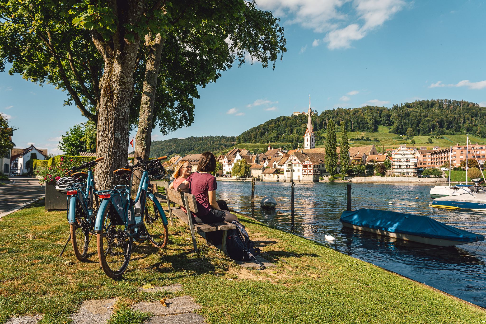
Rhine, vines, Randen – the top 5 cycle routes in Schaffhauserland
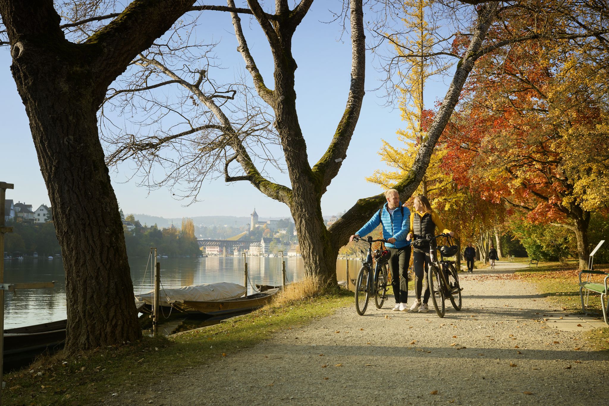
Rhine, Vines and Randen – autumn cycling routes in Schaffhauserland
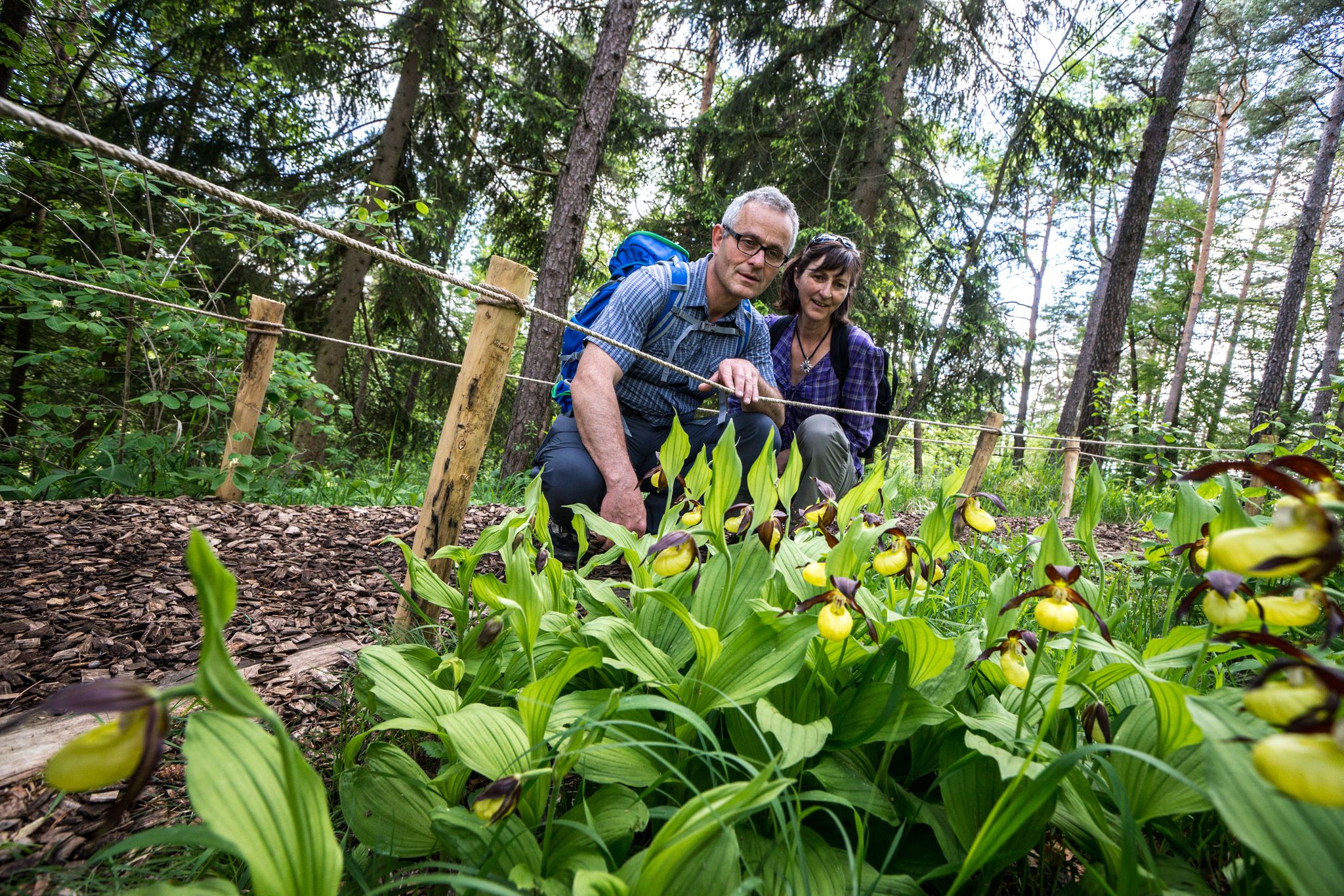
Wandern zwischen Rhein und Reben – Frühling im Schaffhauserland
Cycling around Regionaler Naturpark Schaffhausen
MTB Trails around Regionaler Naturpark Schaffhausen
Other adventures around Regionaler Naturpark Schaffhausen


Tips from the Community

Pretty here, very pretty Pretty here, very pretty
3
0

A beautiful picnic area with a sensational view; there is even a supply of wood for grilling.
0
0

Somewhat hidden in the "Flüe" (a local name for a rock formation), you'll find the Nagelfluh cave, also known as "Winterlislöchli". The area, with benches and a barbecue, offers a fantastic view of the German Klettgau region. According to local legend, a peddler woman named Winterlise once lived here for a time.
0
0
Between Wilchingen and Osterfingen, extensive vineyards shape the landscape of the Klettgau region. Rows of Pinot Noir, Riesling-Silvaner, and Pinot Gris stretch across the rolling hills, giving the region its distinctive character. The wine country reveals itself in a different light each season – from the fresh green of spring to the warm colors of autumn.
0
0
Take your time here to consciously perceive the landscape. In spring, the Seldenhalde transforms into a sea of white blossoms – countless snowdrops line the slopes and create a particularly atmospheric accent along the path.
0
0
Here you'll find Switzerland's only accessible gypsum mine. On select days, you can immerse yourself in the world of historical gypsum mining. A small train takes you into the tunnel, where you'll learn more about the work of the miners in the 18th and 19th centuries. Information about public tours can be found on the Schaffhauserland Tourism website: https://schaffhauserland.ch/buchen/angebote-erlebnisse/oeffentliche-fuehrungen.html#/
0
1
Frequently Asked Questions
How many hiking trails are available in Regionaler Naturpark Schaffhausen?
The Regionaler Naturpark Schaffhausen offers a wide network of over 390 hiking trails. These routes cater to various preferences, from easy strolls to more challenging excursions across diverse landscapes.
Are there easy or family-friendly hiking options in Regionaler Naturpark Schaffhausen?
Yes, the park is well-suited for families and beginners, with over 210 easy routes. The Genussweg zwischen Wilchingen und Osterfingen is an easy option, and the interactive Biberweg (Beaver Trail) near Thayngen is particularly popular with families and nature enthusiasts.
What kind of landscapes can I expect to see while hiking in the park?
Hikers in Regionaler Naturpark Schaffhausen will experience diverse landscapes including the rolling Randen hills, expansive vineyards, and lush broadleaf forests dominated by beech, oak, and maple trees. The Rhine River is a prominent feature, with many trails running alongside its banks, offering picturesque views.
Are there any circular hiking routes in Regionaler Naturpark Schaffhausen?
Yes, many trails in the park are circular, allowing you to start and end at the same point. The Rundwanderung bei Schleitheim über die Seldenhalde is a popular moderate circular trail. The Reiatweg also offers a circular hike through vineyards and along old smuggler paths.
What are some notable attractions or viewpoints along the hiking trails?
The park features several interesting sights. You can visit the Beringer Randenturm Observation Tower for extensive views over the Klettgau region and the distant Alps. The historic Grenzweg Jestetten offers insights into the area's history, and the Zelgli meadow on the Anabaptist Trail is a popular resting spot with a shelter and fire pits.
Can I bring my dog on the hiking trails in Regionaler Naturpark Schaffhausen?
Most hiking trails in Regionaler Naturpark Schaffhausen are dog-friendly, allowing you to explore the natural beauty with your canine companion. However, it's always recommended to keep dogs on a leash, especially in areas with wildlife or near agricultural land, and to respect local signage.
What is the best season for hiking in Regionaler Naturpark Schaffhausen?
The Regionaler Naturpark Schaffhausen is beautiful year-round. Spring brings wildflowers to the valleys, summer offers lush greenery, and autumn transforms the broadleaf forests into vibrant colors. Even winter hikes can be enjoyable, especially on cleared paths, offering a tranquil experience.
Are there places to eat or picnic spots along the routes?
Yes, the park is well-equipped for outdoor enthusiasts. You'll find numerous barbecue and picnic spots along its routes, perfect for a break. Additionally, the region is known for its extensive vineyards, offering opportunities for wine tasting in charming villages with traditional half-timbered houses.
How accessible is Regionaler Naturpark Schaffhausen by public transport?
The Regionaler Naturpark Schaffhausen is generally well-connected by public transport, with various villages and trailheads accessible by bus or train. This allows hikers to reach starting points easily and plan linear routes without needing to return to a parked car.
What do other hikers enjoy most about hiking in Regionaler Naturpark Schaffhausen?
The area is highly rated by the komoot community, with an average score of 4.6 stars from over 2,500 reviews. Reviewers often praise the diverse landscapes, including the scenic Rhine River and vineyards, the well-maintained trails, and the blend of natural beauty with cultural insights.
Are there any historical trails in the park?
Yes, the park offers trails with historical significance. The Grenzweg Jestetten features historic markers, and the Bean-ore trail allows hikers to explore the historical paths of ore-miners through the south Randen, discovering precious habitats where 'bean ore' was once extracted.
Most popular routes around Regionaler Naturpark Schaffhausen
Most popular attractions around Regionaler Naturpark Schaffhausen

Get inspired with the komoot mobile app


Explore more
Browse the best Hikes in other regions.
