The best hikes from bus stations around Hohenstein
4.6
(10002)
34,884
hikers
459
hikes
Bus station hiking trails around Hohenstein offer access to a diverse landscape characterized by rolling hills, picturesque valleys, and extensive mixed forests. The region features streams and, in some areas, karst rocks, providing varied terrain for outdoor exploration. Hikers can experience panoramic views over the Rhine-Main region from higher elevations. This area provides a range of natural features suitable for different hiking preferences.
Best bus station hiking trails around Hohenstein
- The most popular bus station hiking route is Höllenbachtal Forest…
Last updated: May 16, 2026
4.8
(96)
235
hikers
15.0km
04:15
330m
330m
Moderate hike. Good fitness required. Easily-accessible paths. Suitable for all skill levels.
5.0
(8)
32
hikers
6.01km
01:36
70m
60m
Easy hike. Great for any fitness level. Easily-accessible paths. Suitable for all skill levels.

Sign up for free
4.8
(53)
194
hikers
Moderate hike. Good fitness required. Easily-accessible paths. Suitable for all skill levels.
4.4
(10)
55
hikers
8.49km
02:24
170m
170m
Moderate hike. Good fitness required. Easily-accessible paths. Suitable for all skill levels.
4.4
(5)
12
hikers
11.5km
03:16
260m
260m
Moderate hike. Good fitness required. Easily-accessible paths. Suitable for all skill levels.
Get access to more routes and recommendations from other explorers.
Sign up for free
Already have an account?
Our route recommendations are based on thousands of hikes, rides, and runs completed by other people on komoot.
Start today with a free account
Your next adventure awaits.
Login or Signup

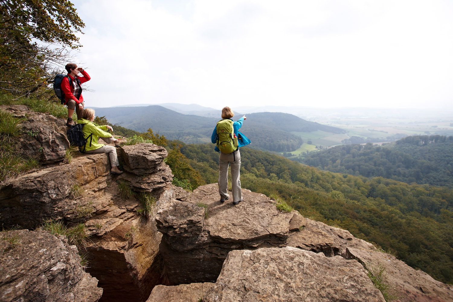
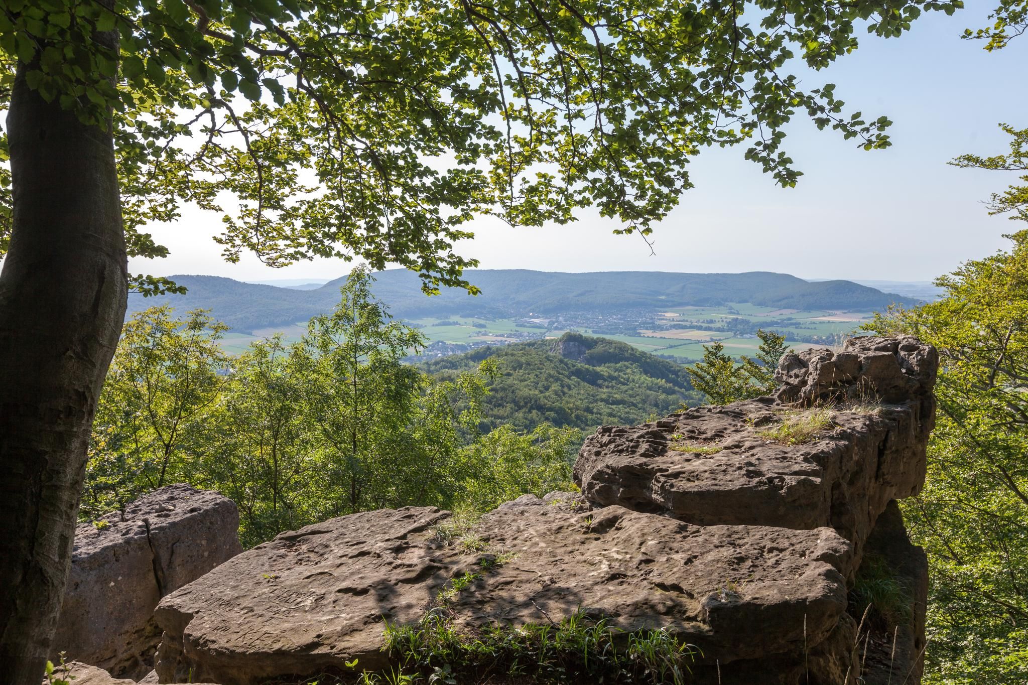
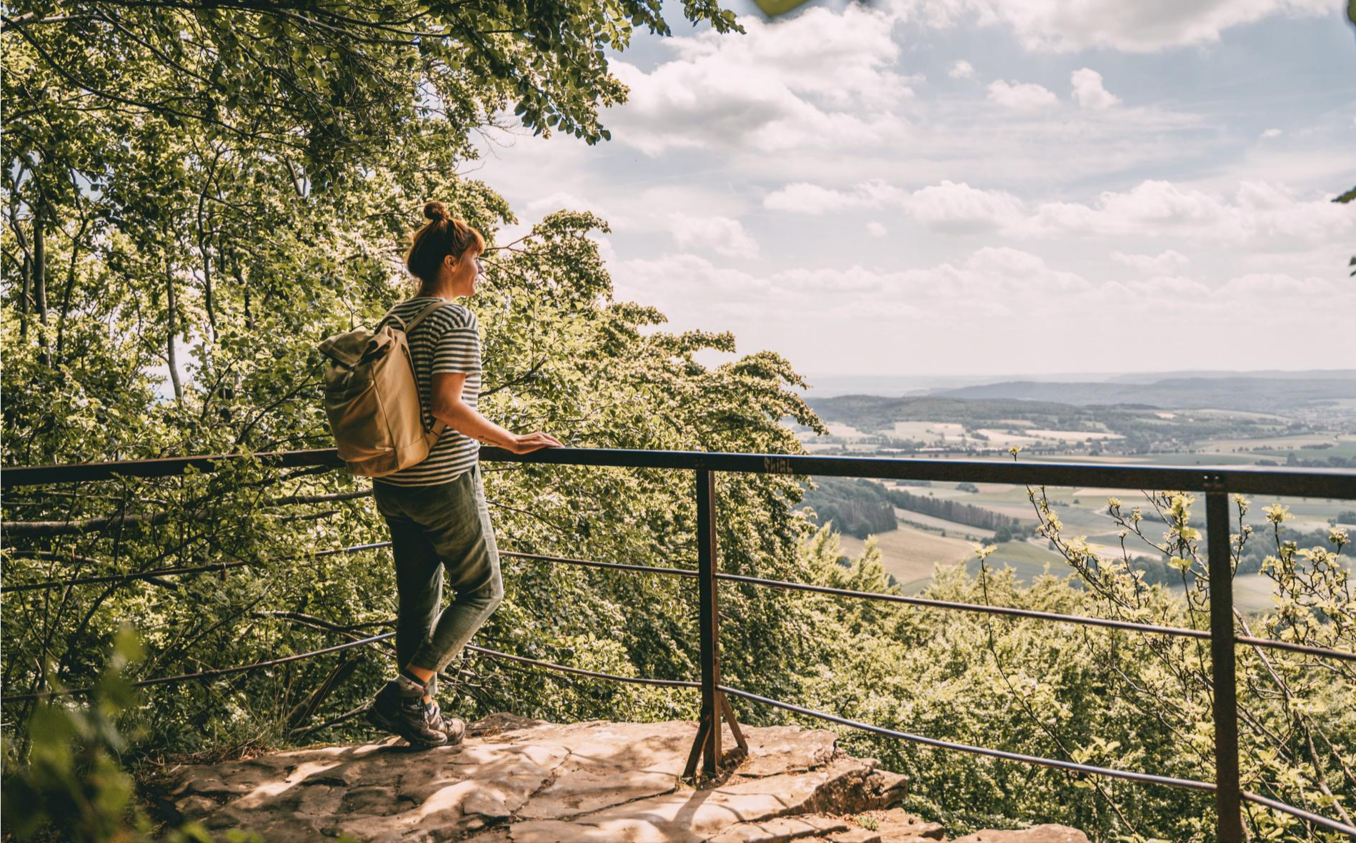
Other adventures around Hohenstein


Tips from the Community

The Kneipp pool at the Kreuzstein spring is a special place in the Süntel hills, where experiencing nature and promoting health are harmoniously combined. Located in the heart of the forest, the pool invites hikers and those seeking relaxation to take a break and directly experience the invigorating effect of the fresh spring water.
1
0
The Langenfeld hiking parking area is a central and easily accessible starting point for hikes in the Süntel hills, uniquely connecting open countryside with the transition to the dense forests of this low mountain range. Situated on the edge of the Süntel, it offers convenient access to a diverse network of trails, making it a popular starting point for short strolls as well as extended day hikes. From here, the trails lead into tranquil woodlands with ancient beech trees, as well as up to striking hilltops and viewpoints. The interplay of open meadows, field edges, and shady forest paths is what makes many hikes from Langenfeld so appealing. This contrast is precisely what highlights the scenic diversity of the Süntel and ensures varied hiking experiences in every season.
1
0


Refreshments are available at the Pappmühle beer garden and (in consultation with the DAV section) overnight accommodation is available at the Hohensteinhütte.
0
0
The Baxmannbaude below the Hohenstein is open on Sundays during the hiking season.
0
0

Beautiful path through a beautiful beech forest.
0
0

Beautiful hiking trail through the Höllenbach valley and above the cliffs.
0
0

The quarry is very impressive. It is part of the cave tour.
0
0
Frequently Asked Questions
How many hiking trails are accessible from bus stations in Hohenstein?
Hohenstein boasts over 450 hiking routes that are easily accessible from various bus stations. This extensive network includes options for all skill levels, with more than 220 easy routes and over 200 moderate ones.
What kind of landscapes and natural features can I expect on these bus-accessible hikes?
The bus-accessible trails in Hohenstein traverse a rich variety of landscapes. You can expect rolling hills, picturesque valleys, and diverse mixed forests. Some areas, particularly around Hohenstein Castle, feature unique karst rocks and limestone formations. Streams like the Blutbach also add to the scenic beauty.
Are there any family-friendly hiking trails starting from bus stops?
Yes, Hohenstein offers several family-friendly routes. While specific routes like the 'Adventure Trail' or 'Forest Playground Trail' are known for interactive elements, many of the easier routes are suitable for families. For a pleasant, less strenuous option, consider the Höllenmühle and Pond – Schillathöhle Quarry loop from Hohenstein, which is an easy 6 km hike.
Can I find circular hiking routes that start and end at a bus station?
Absolutely. Many of the hiking trails in Hohenstein are designed as circular routes, allowing you to start and finish your journey conveniently at the same bus stop. An example is the Höllenbachtal Forest Path – Höllenbach Valley loop from Hohenstein, a moderate 15 km loop offering varied terrain.
What are some interesting sights or viewpoints I can discover along the trails?
Many trails lead to stunning viewpoints and natural attractions. You can visit the Hohenstein Cliffs and Scenic Viewpoint for panoramic vistas, or enjoy the tranquility at the Green Altar Viewpoint. The Iborn Spring and the Totental (Valley of the Dead) are also notable natural monuments to explore.
Are there any routes with water features like waterfalls or streams?
Yes, Hohenstein's landscape includes beautiful water features. The Blutbach Stream is a notable feature in the area, and the 'Wiesbachfall' is a particularly imposing waterfall nestled in the forest, accessible via a short hike. The Höllenbachtal Forest Path also offers scenic views along a stream.
What is the best time of year to go hiking in Hohenstein?
The best seasons for hiking in Hohenstein are generally spring and autumn. During these times, the landscapes are particularly vibrant with rich greenery in spring and colorful foliage in autumn, and the temperatures are pleasantly mild for outdoor activities.
Are there any challenging routes for experienced hikers?
While Hohenstein offers many easy and moderate trails, there are also more challenging options for experienced hikers. The region features 23 difficult routes, often involving greater elevation changes and longer distances. These routes can provide rewarding experiences with impressive views.
What do other hikers enjoy most about the trails in Hohenstein?
The komoot community highly rates the hiking experiences in Hohenstein, with an average score of 4.59 out of 5 stars from over 9,600 ratings. Hikers often praise the diverse natural beauty, the well-maintained trails, and the accessibility of routes from public transport, making it easy to explore the region's rolling hills and forests.
Are there options for longer, multi-day hikes accessible by bus?
Yes, Hohenstein is part of the wider Rhine-Main region and is traversed by long-distance trails. The renowned 'Rheinsteig' and the E1 European long-distance path both pass through the area, offering segments that can be accessed via bus stops for multi-day hiking adventures with spectacular views.
Are there any routes that offer historical or cultural points of interest?
Certainly. The area around Hohenstein Castle, an 11th-century fortress, offers a varied path through the Aartaunus region. The castle itself provides panoramic views and even houses a botanical garden. Routes like the Baxmannbaude Hiking Trail – Stairway Trail to Hohenstein loop from Wickbolsen can lead you through areas rich in local history.
Are there places to eat or drink near the bus station trailheads?
Yes, many hiking routes in Hohenstein are designed with convenience in mind. You can often find cafes, restaurants, or traditional inns (Einkehrmöglichkeiten) in the villages or towns where bus stops are located, allowing you to enjoy refreshments before or after your hike. For example, the Pappmühle Inn and Beer Garden – Naten Hut loop from Wickbolsen specifically highlights an inn along its path.
Most popular routes around Hohenstein
Most popular attractions around Hohenstein

Get inspired with the komoot mobile app


Explore more
Browse the best Hikes in other regions.
