The best hikes from bus stations around the Caledonian Canal
4.3
(4714)
37,643
hikers
64
hikes
Bus station hiking trails around the Caledonian Canal offer access to a diverse landscape within the Scottish Highlands. The region is characterized by a 60-mile waterway that integrates natural lochs, including Loch Ness, with man-made sections. Hikers will find a variety of terrains, from well-maintained canal towpaths and forestry tracks to mountain trails and dramatic glens. The area also features significant elevation changes, particularly around Ben Nevis, Britain's highest mountain, and numerous waterfalls and woodlands.
Best bus station hiking trails…
Last updated: June 28, 2026
4.5
(98)
591
hikers
11.5km
04:34
610m
610m
Moderate hike. Good fitness required. Mostly accessible paths. Sure-footedness required.
4.2
(17)
82
hikers
8.14km
02:11
100m
100m
Moderate hike. Good fitness required. Easily-accessible paths. Suitable for all skill levels.

Sign up for free
4.6
(20)
93
hikers
Moderate hike. Good fitness required. Easily-accessible paths. Suitable for all skill levels.
3.9
(7)
143
hikers
3.74km
00:57
10m
10m
Easy hike. Great for any fitness level. Easily-accessible paths. Suitable for all skill levels.
4.6
(13)
69
hikers
6.07km
01:58
250m
250m
Easy hike. Great for any fitness level. Easily-accessible paths. Suitable for all skill levels.
Get access to more routes and recommendations from other explorers.
Sign up for free
Already have an account?
Our route recommendations are based on thousands of hikes, rides, and runs completed by other people on komoot.
Start today with a free account
Your next adventure awaits.
Login or Signup
Popular around Caledonian Canal
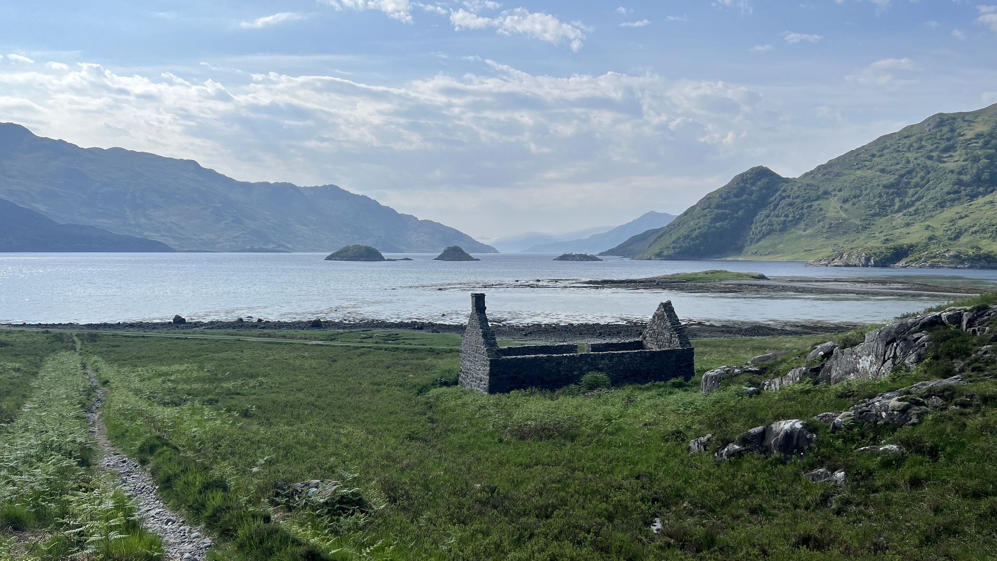
Cape Wrath Trail – Scotland’s wildest and most spectacular hiking route
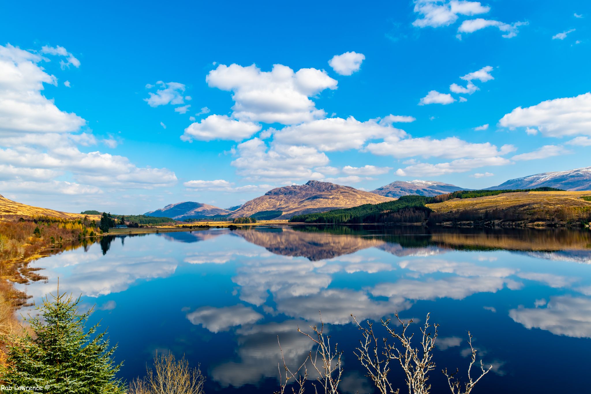
East Highland Way — Hike through Scotland's remote, mountainous heart
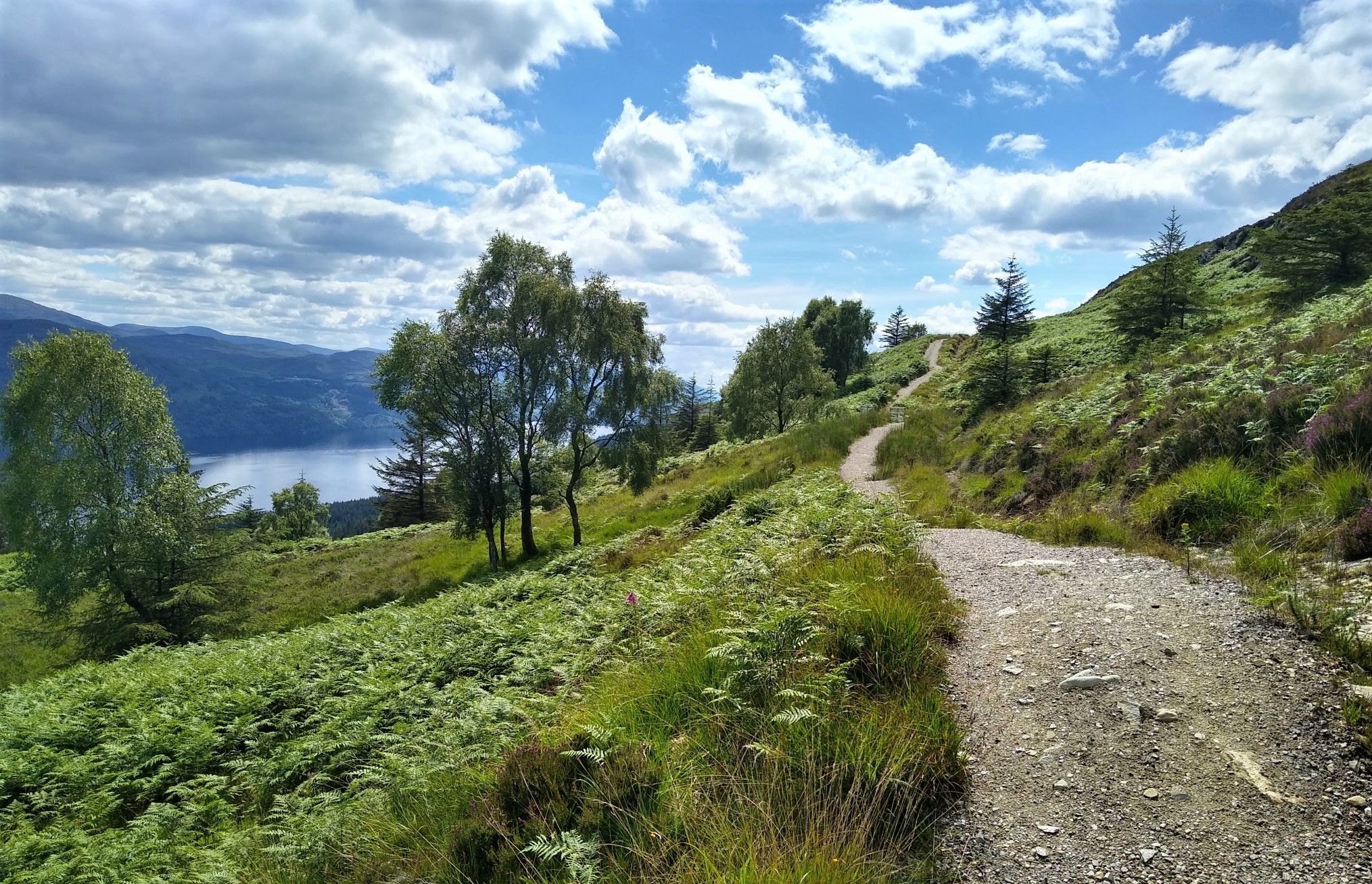
Great Glen Way: An epic coast-to-coast across the Highlands

Walk Britain – 90 car-free adventures in England, Wales and Scotland
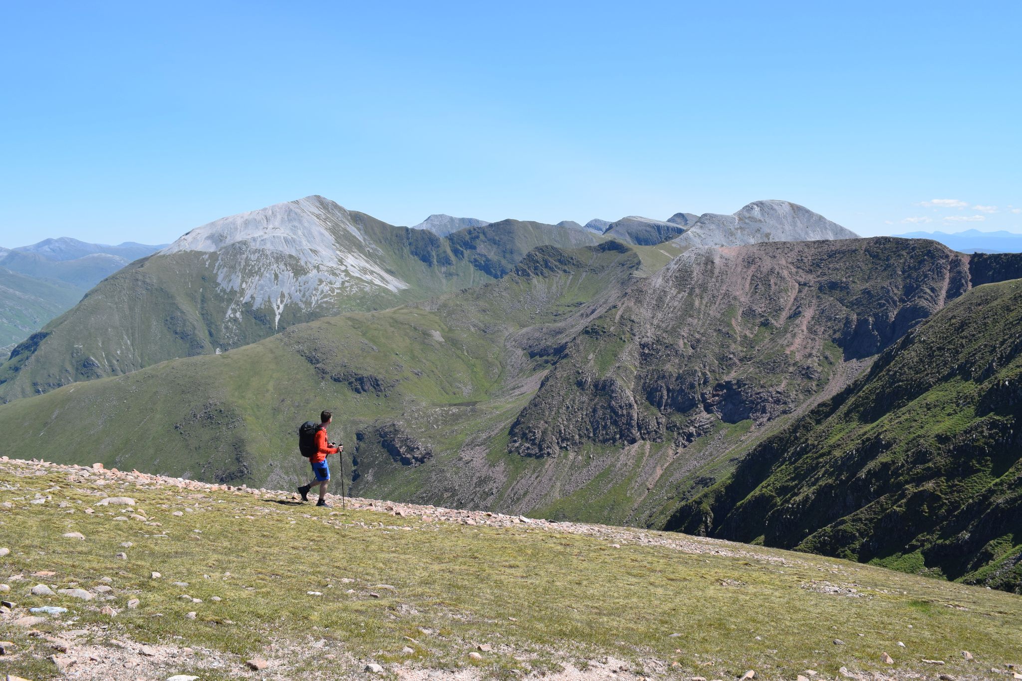
Discover the heart of the Highlands – hiking in Glen Nevis
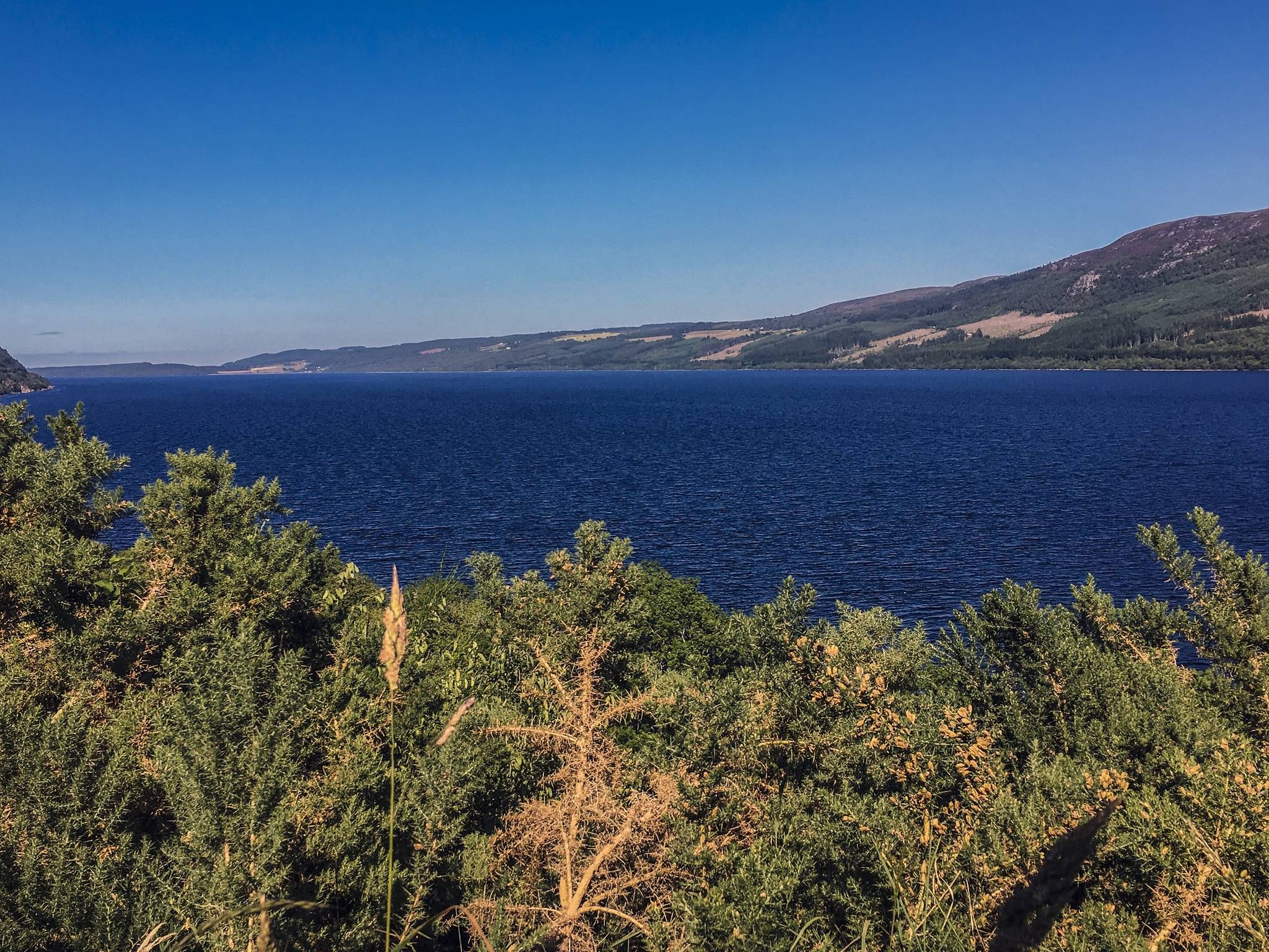
Caledonia Way – Cycling Coast to Coast through the Scottish wilds
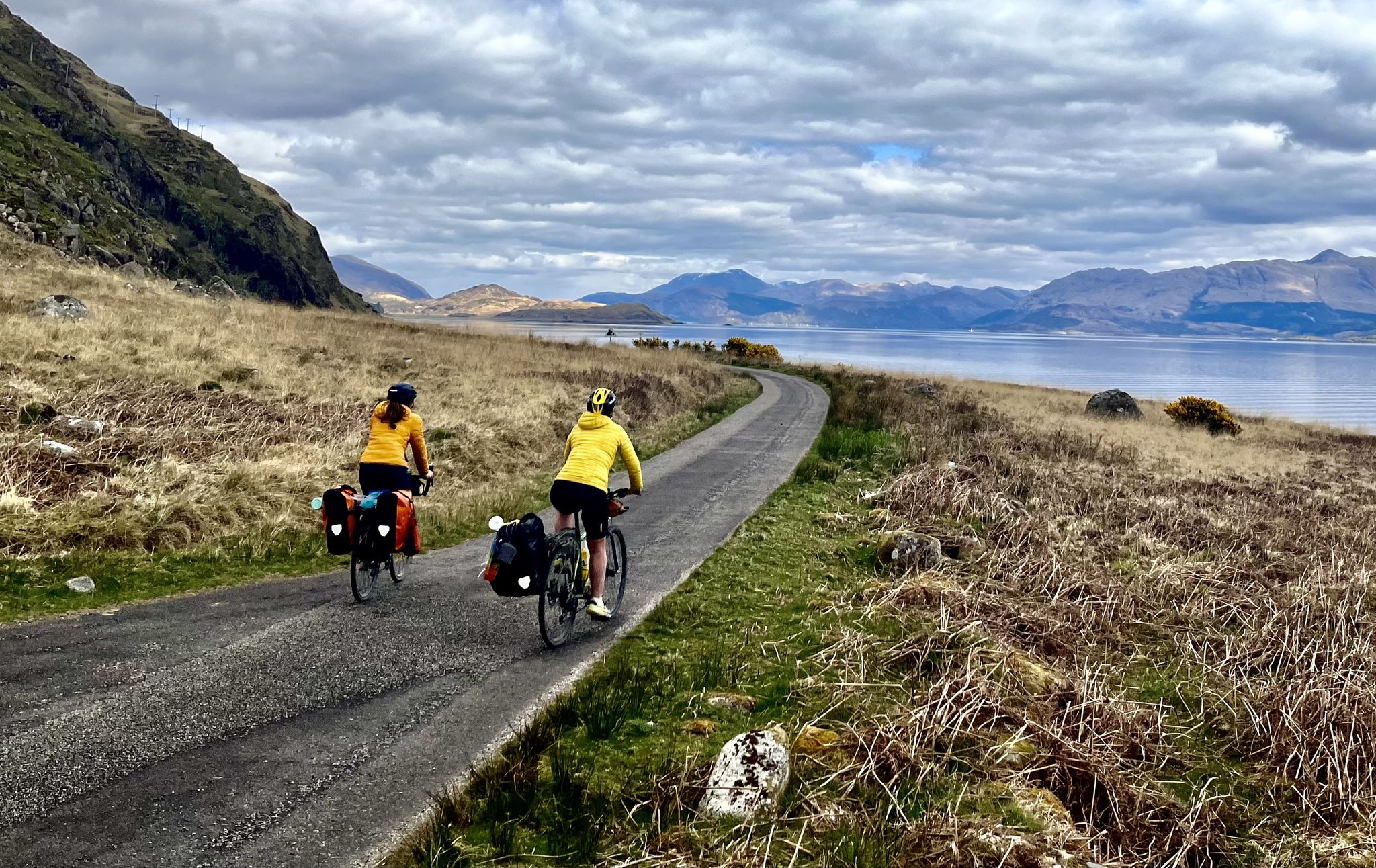
Lochs, forests and mountain huts — Highlands bothy loop
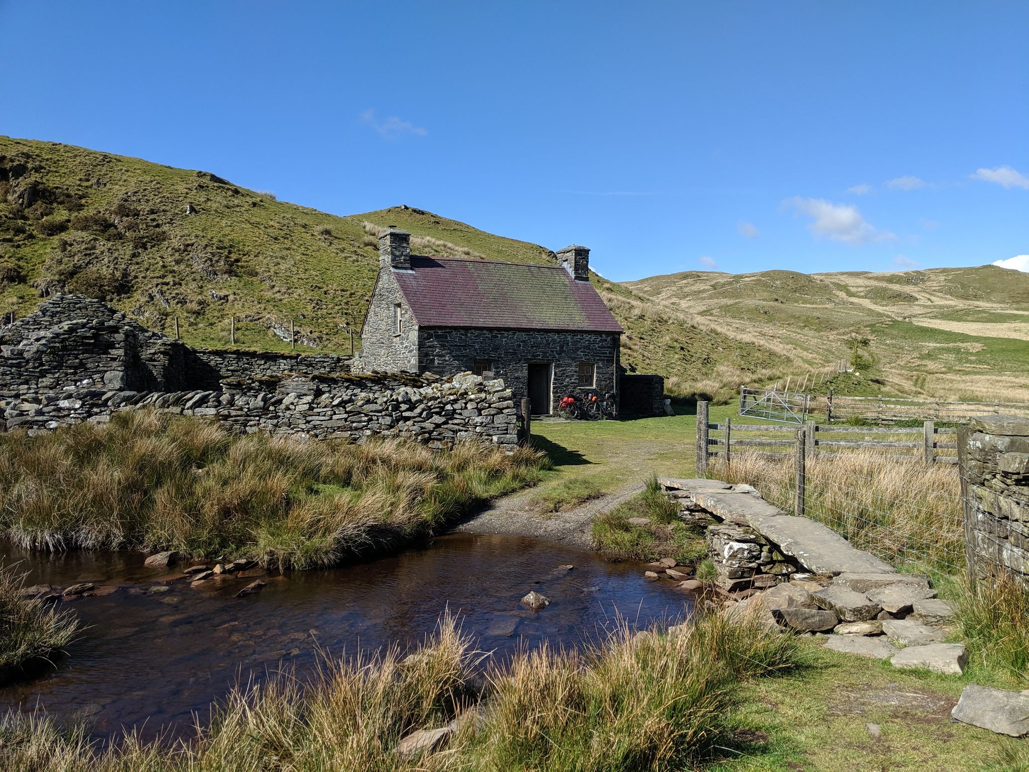
Bikepacking the best of British Bothies
Other adventures around the Caledonian Canal


Tips from the Community

Done! After over 150 kilometers and 7 stages, you reach the official end point of the West Highland Way. This is also marked as such. A selfie at the info board or the statue "The Wanderer with the Sore Feet" is mandatory :-)
0
0
Made it! After over 150km and 7 stages, you reach the end point of the West Highland Way. A selfie at the information board standing there, or at the statue "The Wanderer with the sore feet" is obligatory here :-)
0
0

The double waterfall falls approximately 12 meters before falling another 6 meters into the Witch's Cauldron. A charming fairy story is attached to the falls. The cattle in the district were suffering from an unexplained malaise and the Camerons consulted a seer about it. The seer attributed the malaise to an old hermit woman who lived beside the lake and said that it would persist until the witch was killed. The Camerons therefore sought her out at her cottage, but when they got there all they found was a cat which they set upon and wounded. However, it escaped and they followed the trail of blood to the Chia-aig Falls where they found the dying cat. They were about to finish the wretched animal's life when it let out a terrifying scream and leapt into the pool. As it leaped, it changed into the witch they were looking for. The Camerons stoned the old hag to death and the malaise did not recur.
0
0

Not as hard as you may initially think if you've a decent level of fitness, nothing to difficult to contend with other than the weather, that's your most difficult obstacle as it can change quickly so go prepared, no matter what the weather at the bottom is like.
0
0

The road north of the lake is very beautiful and secluded, and you can drive along it virtually forever; it certainly feels like forever. You usually have to turn back at some point.
0
0

The northern end of the West Highland Way national trail is at the end of the high street in Fort William. The trail stretches 96 miles (154 Km) from Milngavie to Fort William. The statue “Man with Sore Feet” was made by David Annand and has marked the end since 2010. The West Highland Way Race normally ends at the leisure centre or the Nevis Centre.
0
0

Highest mountain in Great Britain Cold and windy
0
0
Frequently Asked Questions
How many bus station hiking trails are available around the Caledonian Canal?
There are over 60 hiking routes around the Caledonian Canal that are easily accessible from bus stations. These trails offer a variety of experiences, from gentle canal-side strolls to more challenging ascents into the Highlands.
Are there easy hiking routes accessible by bus around the Caledonian Canal?
Yes, many easy routes are available. For example, the Inverlochy Fort Ruins – Fort William Harbour loop from Fort William is a gentle, flat walk perfect for a relaxed outing. Another easy option is the Hiking loop from Fort William, which offers pleasant views without significant elevation gain.
Can I find routes with waterfalls near bus stops in the Caledonian Canal region?
Absolutely. The region is known for its beautiful waterfalls. You can explore the Ben Nevis Mountain Path – Red Burn Waterfall loop from Fort William for impressive cascades. Another excellent option is the Chia-Aig Waterfalls – View of Loch Arkaig loop from Achnacarry Road End, offering stunning views of both waterfalls and Loch Arkaig.
Are there any circular hiking routes accessible from bus stations?
Yes, several routes are designed as loops, allowing you to start and end at the same bus stop. The Hiking loop from Fort William is a great example, providing a convenient circular walk. The Ben Nevis Mountain Path – Red Burn Waterfall loop from Fort William is also a popular circular option for those seeking a moderate challenge.
What kind of landmarks or attractions can I see along these bus-accessible trails?
The trails offer access to a wealth of historical and natural attractions. You can visit the impressive Neptune's Staircase, a series of locks near Fort William, or explore the historic Inverlochy Castle Ruins. Many routes also provide stunning views of natural features like Ben Nevis from Loch Linnhe or the picturesque Gairlochy Lighthouse at Loch Lochy.
Are the bus station hiking trails around the Caledonian Canal suitable for families?
Many trails are suitable for families, especially the easier, flatter sections along the canal towpaths. These paths often avoid steep ascents and offer scenic views. Look for routes marked as 'easy' for the most family-friendly options, such as the Inverlochy Fort Ruins – Fort William Harbour loop.
What is the best time of year to hike around the Caledonian Canal?
The Caledonian Canal region is beautiful year-round, but late spring to early autumn (May to September) generally offers the most favorable weather for hiking. During these months, you'll experience longer daylight hours and milder temperatures, making for more comfortable walks. However, the dramatic landscapes can be equally stunning in winter, though some trails may be more challenging due to snow or ice.
What do other hikers enjoy most about the bus-accessible trails in the Caledonian Canal region?
The komoot community highly rates the trails around the Caledonian Canal, with an average score of 4.38 stars. Hikers frequently praise the diverse scenery, from the engineering marvel of the canal itself to the dramatic Highland landscapes and tranquil lochs. The accessibility from bus stations is also a key highlight, allowing visitors to explore without needing a car.
Are there any moderate difficulty hikes accessible by bus?
Yes, there are several moderate routes for those looking for a bit more challenge. The Ben Nevis Mountain Path – Red Burn Waterfall loop from Fort William offers significant elevation gain and stunning views. Another moderate option is the Ben Nevis viewpoint – Mossy Forest Stream loop from Fort William, which provides excellent vistas of Britain's highest mountain.
Can I find places to eat or drink near the bus-accessible trailheads?
Yes, towns like Fort William and Fort Augustus, which serve as major hubs for bus routes, offer a good selection of cafes, pubs, and restaurants. Many trailheads in or near these settlements will have amenities close by, allowing you to refuel before or after your hike.
Most popular routes around the Caledonian Canal
Most popular attractions around the Caledonian Canal

Get inspired with the komoot mobile app


Explore more
Browse the best Hikes in other regions.
