The best running trails around the Caledonian Canal
4.6
(28)
1,432
runners
64
runs
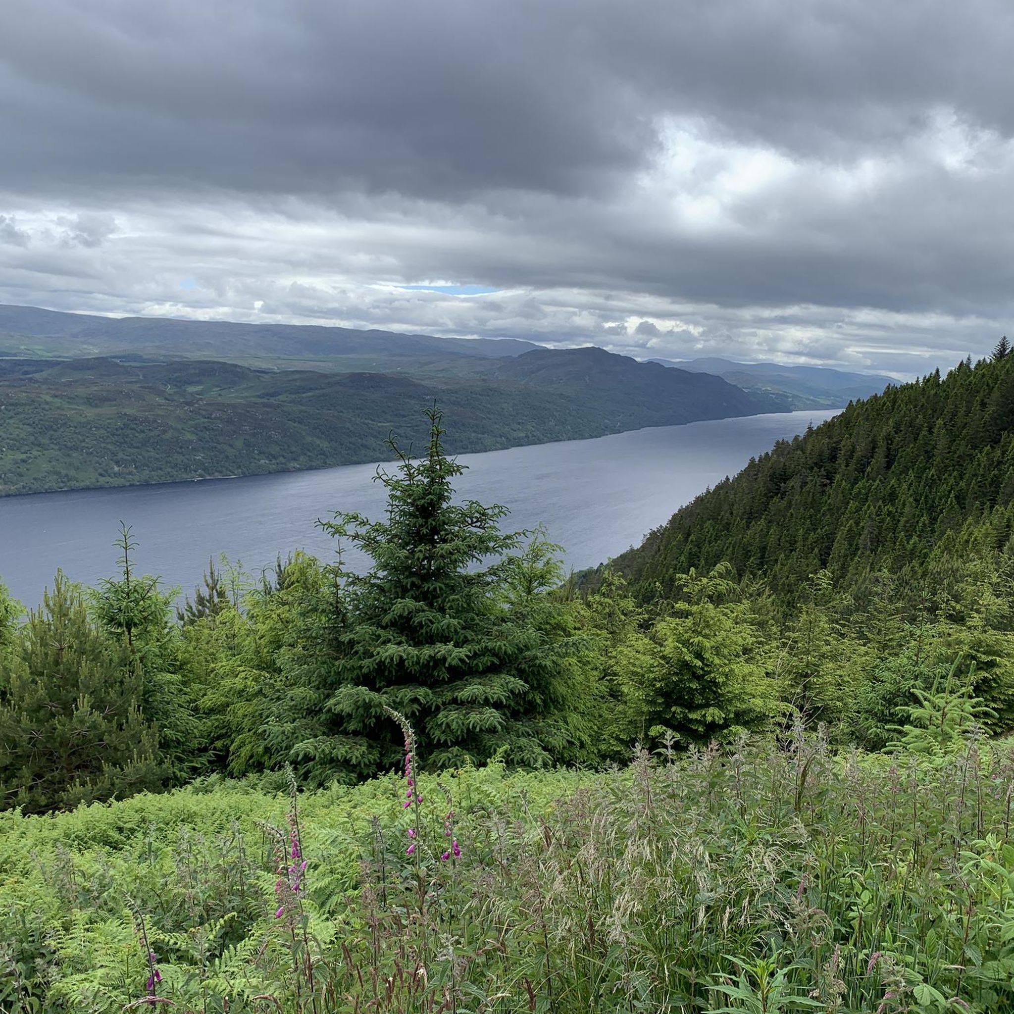
Jogging around the Caledonian Canal offers access to a 60-mile waterway across the Scottish Highlands, featuring well-maintained, traffic-free paths. The canal system incorporates natural lochs such as Loch Ness, Loch Oich, and Loch Lochy, with only a third of its length being man-made. Runners can utilize miles of gravel and paved towpaths, providing a peaceful environment with varied terrain, including flat sections and gentle inclines.
Best jogging routes around the Caledonian Canal
- The most popular jogging route is Cow Hill…
Last updated: July 7, 2026
5.0
(1)
11
runners
7.63km
01:02
280m
280m
Moderate run. Good fitness required. Mostly accessible paths. Some sure footedness required.
84
runners
14.5km
01:48
350m
350m
Hard run. Very good fitness required. Mostly paved surfaces. Suitable for all skill levels.

Sign up for free
5.0
(2)
70
runners
9.22km
00:57
40m
40m
Moderate run. Good fitness required. Mostly paved surfaces. Suitable for all skill levels.
4.0
(2)
69
runners
Moderate run. Good fitness required. Mostly paved surfaces. Suitable for all skill levels.
58
runners
33.2km
05:32
1,540m
1,540m
Hard run. Very good fitness required. Sure-footedness, sturdy shoes and alpine experience required.
5.0
(1)
60
runners
6.00km
00:39
10m
10m
Moderate run. Good fitness required. Mostly paved surfaces. Suitable for all skill levels.
55
runners
15.4km
02:21
610m
610m
Hard run. Very good fitness required. Sure-footedness, sturdy shoes and alpine experience required.
5.0
(3)
45
runners
20.5km
02:28
540m
540m
Hard run. Very good fitness required. Mostly paved surfaces. Suitable for all skill levels.
5.0
(2)
45
runners
Moderate run. Good fitness required. Mostly paved surfaces. Suitable for all skill levels.
3.5
(2)
49
runners
Moderate run. Good fitness required. Mostly paved surfaces. Suitable for all skill levels.
Get access to more routes and recommendations from other explorers.
Sign up for free
Already have an account?
Our route recommendations are based on thousands of hikes, rides, and runs completed by other people on komoot.
Start today with a free account
Your next adventure awaits.
Login or Signup
Popular around Caledonian Canal
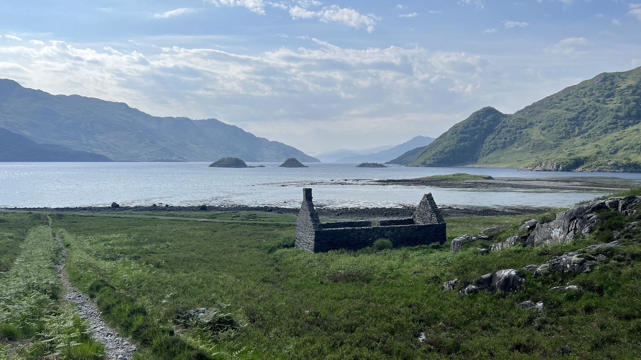
Cape Wrath Trail – Scotland’s wildest and most spectacular hiking route
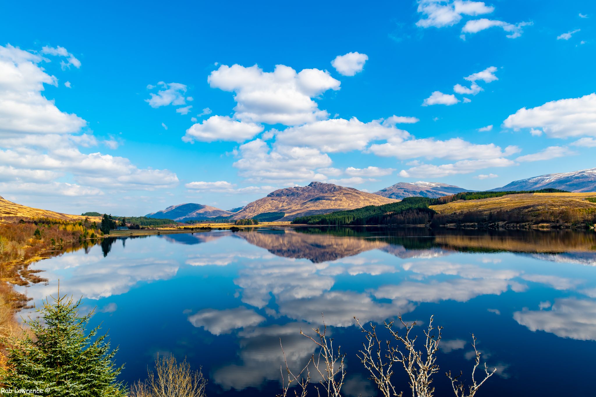
East Highland Way — Hike through Scotland's remote, mountainous heart
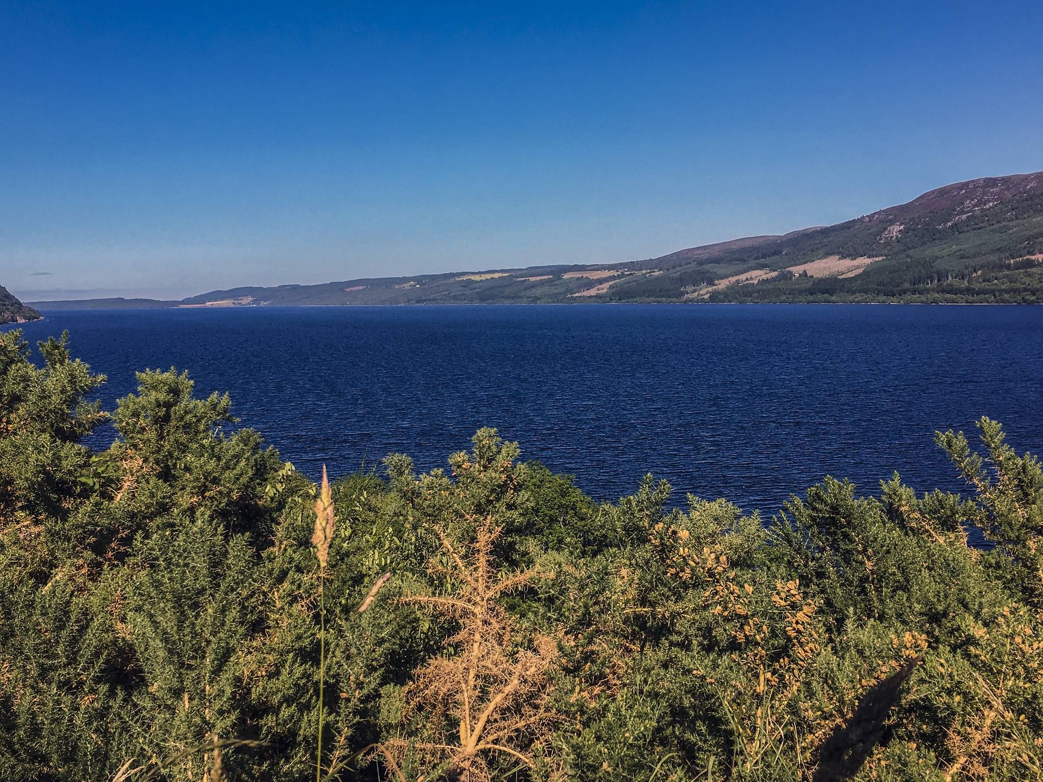
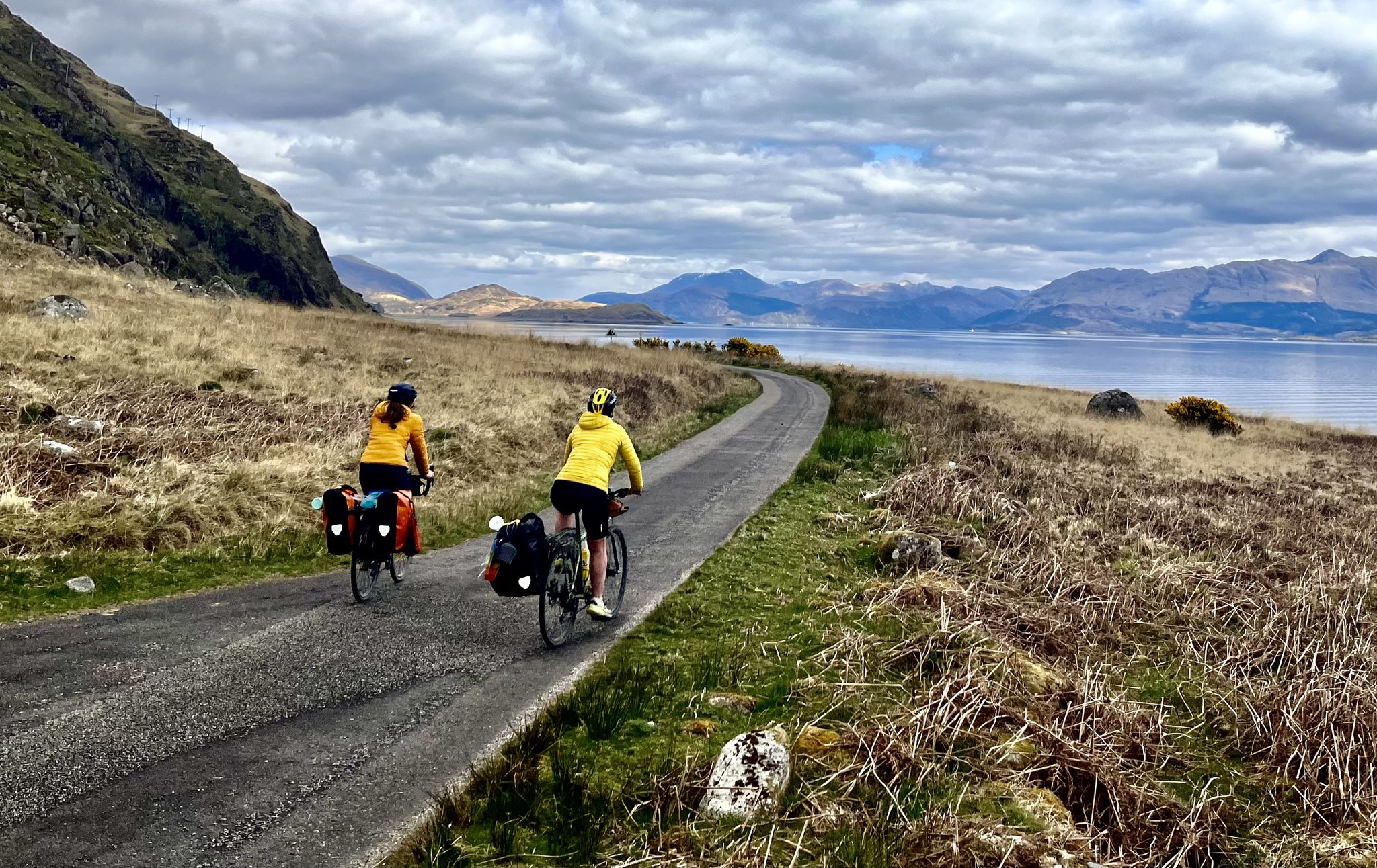
Caledonia Way – Cycling Coast to Coast through the Scottish wilds
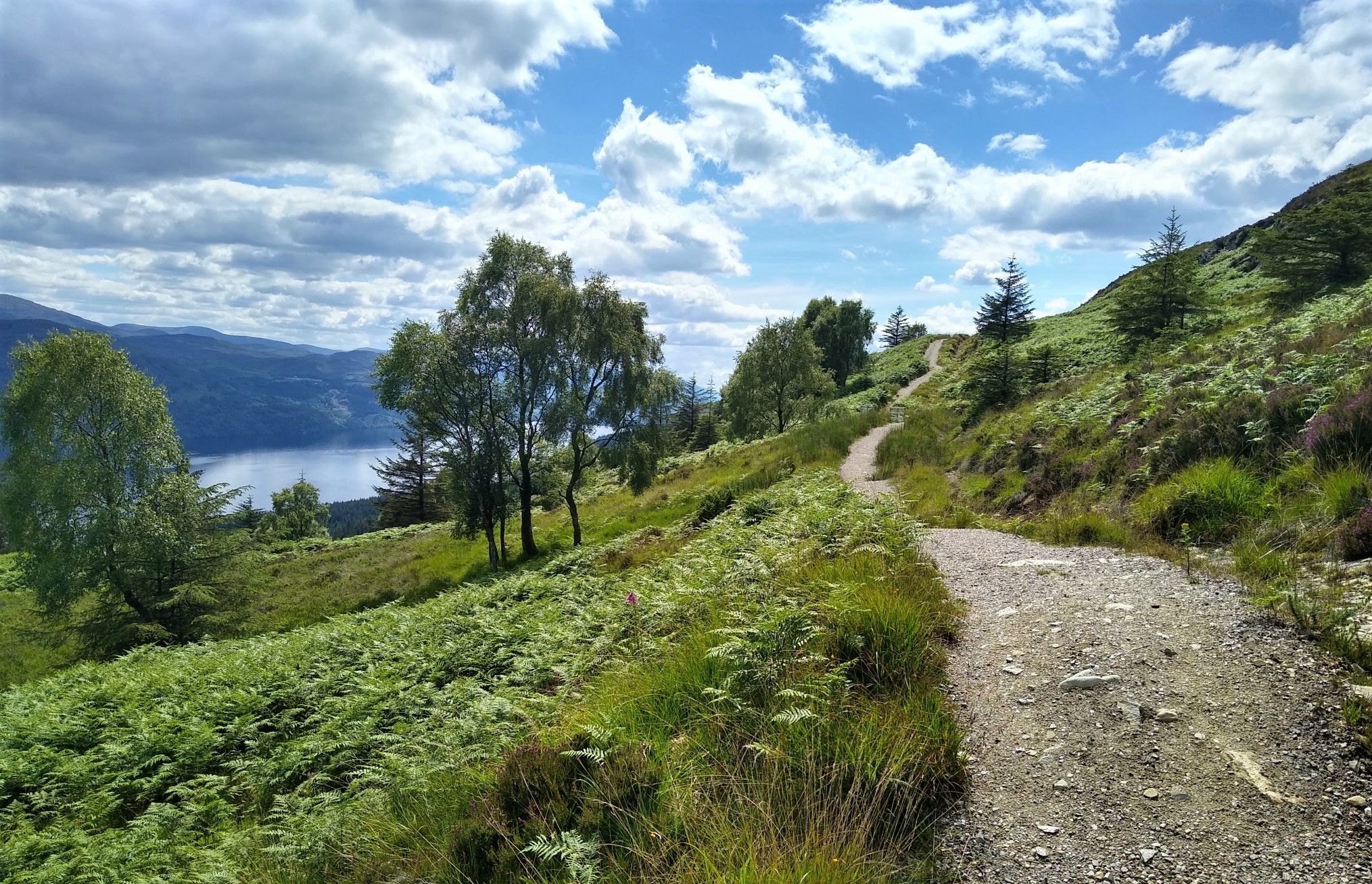
Great Glen Way: An epic coast-to-coast across the Highlands

Walk Britain – 90 car-free adventures in England, Wales and Scotland
Lochs, forests and mountain huts — Highlands bothy loop
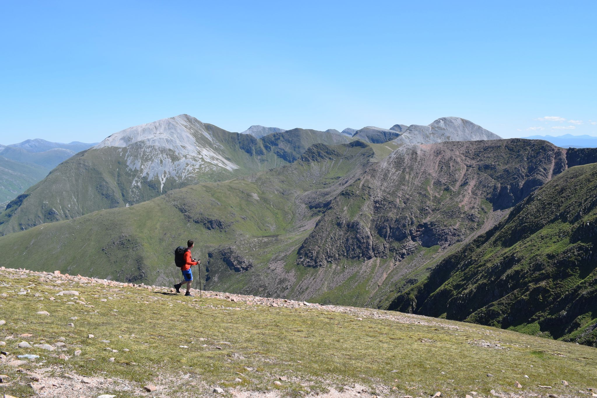
Discover the heart of the Highlands – hiking in Glen Nevis
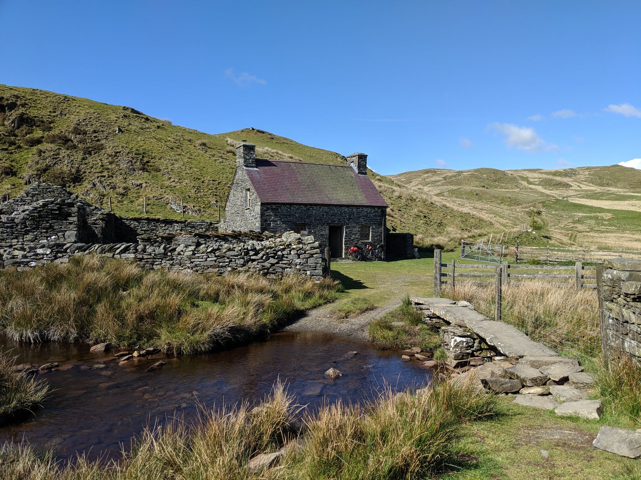
Bikepacking the best of British Bothies
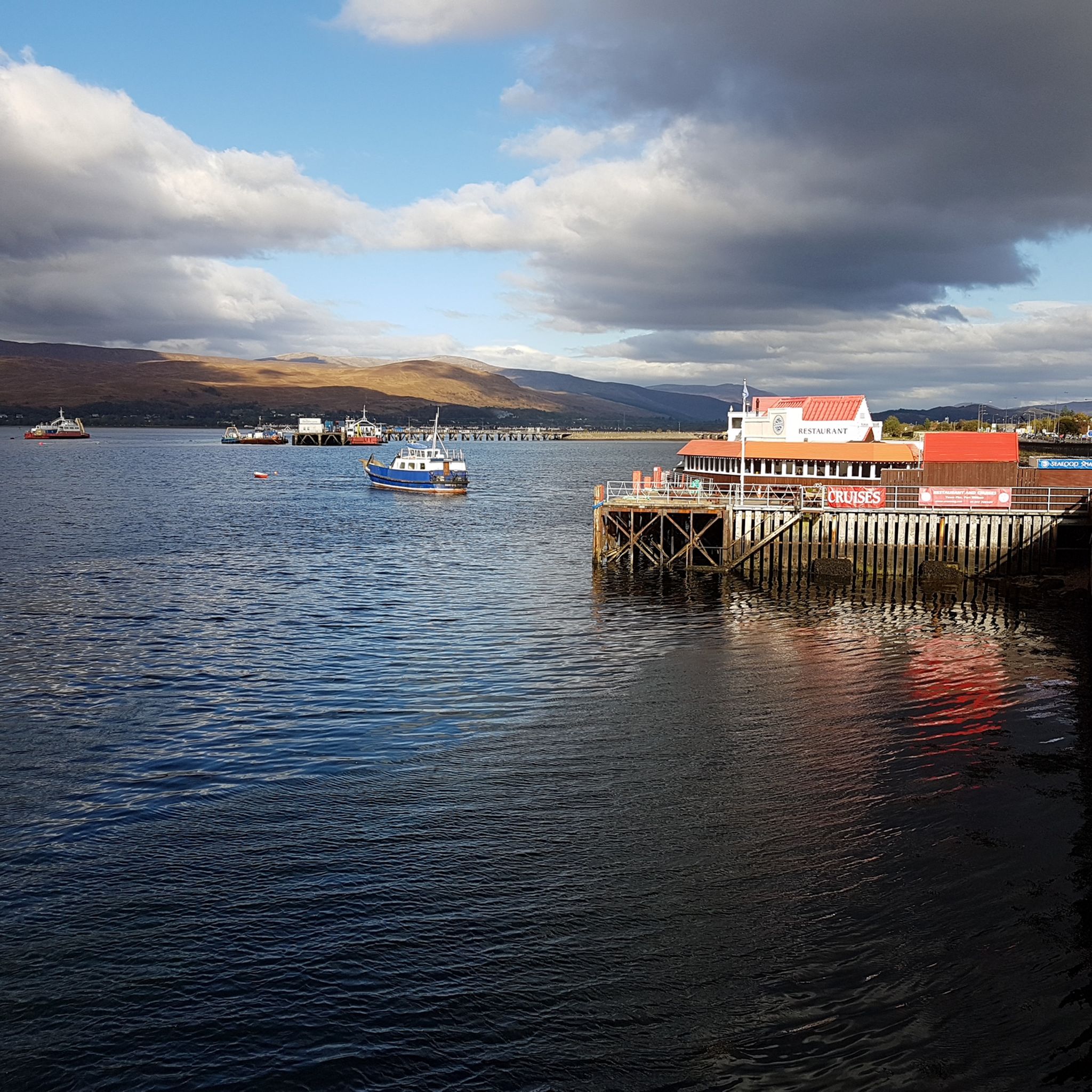
Hiking around the Caledonian Canal
Cycling around the Caledonian Canal
Other adventures around the Caledonian Canal


Tips from the Community

Done! After over 150 kilometers and 7 stages, you reach the official end point of the West Highland Way. This is also marked as such. A selfie at the info board or the statue "The Wanderer with the Sore Feet" is mandatory :-)
0
0
On the last stage of the West Highland Way, you walk directly towards Ben Nevis for a very long time and can enjoy the view.
0
0

Interesting piece of mirrored art
0
0

Entering the castle at this strategically important location is currently not possible due to renovation work.
3
0

The final section of the West Highland Way, a welcome track down a beautiful valley to finish at Fort William. Ben Nevis, Britain's highest peak, is up to the right.
0
0
The northern end of the West Highland Way national trail is at the end of the high street in Fort William. The trail stretches 96 miles (154 Km) from Milngavie to Fort William. The statue “Man with Sore Feet” was made by David Annand and has marked the end since 2010. The West Highland Way Race normally ends at the leisure centre or the Nevis Centre.
0
0

The Neptune Staircase is a series of eight locks on the Caledonian Canal in Scotland. Built between 1803 and 1822, the locks are an impressive feat of engineering.
0
0

Frequently Asked Questions
What kind of terrain can I expect on running paths along the Caledonian Canal?
The Caledonian Canal offers a variety of running surfaces. You'll find miles of well-maintained gravel and paved towpaths, providing a smooth and peaceful environment away from traffic. Some sections, particularly those integrated with the Great Glen Way, may include forestry tracks. While many paths are relatively flat, there are also routes with gentle inclines and varied terrain to challenge your cardiovascular endurance.
Are there running routes suitable for beginners or easy jogging around the Caledonian Canal?
Yes, the Caledonian Canal area caters to all fitness levels. Out of the 64 available running routes, 5 are specifically rated as easy, making them perfect for beginners or those looking for a more relaxed jog. These routes often feature flat, well-maintained towpaths.
What natural features and landmarks can I see while running along the Caledonian Canal?
Jogging along the Caledonian Canal offers stunning scenery and historical sights. You'll encounter the tranquil canal waters, natural lochs like the famous Loch Ness, and the dramatic backdrop of Ben Nevis. Notable landmarks include the impressive Neptune's Staircase, a series of eight locks, and historic bridges such as the Torvean Swing Bridge. You might also spot wildlife like deer, golden eagles, or otters in the surrounding lush greenery. For specific routes with great views, consider the Cow Hill Circuit or the View of Ben Nevis – Glen Nevis loop from Fort William.
Are there challenging running routes for experienced runners in the Caledonian Canal region?
Absolutely. For experienced runners seeking a challenge, the Caledonian Canal area offers 13 difficult routes. These often feature more significant elevation gains and longer distances. An example is the View of Ben Nevis – Glen Nevis loop from Fort William, an 8.8-mile path with panoramic views of Ben Nevis, or the extensive Neptune's Staircase Locks – Ben Nevis summit loop from Banavie.
What do other runners enjoy most about jogging in the Caledonian Canal area?
The running routes around the Caledonian Canal are highly rated by the komoot community, with an average score of 4.6 stars from over 25 reviews. Runners frequently praise the peaceful, traffic-free towpaths, the breathtaking views of natural lochs and Ben Nevis, and the variety of routes suitable for different abilities. The impressive engineering of Neptune's Staircase is also a popular highlight.
Are there any circular running routes available around the Caledonian Canal?
Yes, many of the running routes in the Caledonian Canal area are circular, offering convenient starting and ending points. For instance, the Caledonian Canal – Neptune's Staircase loop from Caol is a popular 5.7-mile circular trail, and the Neptune's Staircase loop from Caol offers a shorter 3.7-mile option.
Can I bring my dog on the running trails along the Caledonian Canal?
The Caledonian Canal towpaths are generally dog-friendly, offering a great environment for you and your canine companion. However, it's always recommended to keep dogs on a lead, especially in areas with livestock or near busy sections, and to be mindful of other users. Always check specific route details for any restrictions.
Are there family-friendly running routes suitable for children or prams?
Many sections of the Caledonian Canal towpath are flat, wide, and well-maintained, making them suitable for family jogs, including those with prams. Look for routes rated as 'easy' or 'moderate' that stick to the main canal paths, as these typically offer the most accessible surfaces. The tranquil environment and lack of traffic make it a safe and enjoyable experience for families.
What is the best time of year to go running along the Caledonian Canal?
The Caledonian Canal offers beautiful running conditions throughout much of the year. Spring and autumn provide pleasant temperatures and stunning scenery with changing foliage. Summer is also popular, though paths can be busier. Winter running is possible, but be prepared for colder weather, potentially icy conditions, and shorter daylight hours. Always check local weather forecasts before heading out.
Are there running routes that offer views of Loch Ness?
Yes, the Caledonian Canal runs alongside the iconic Loch Ness, providing runners with expansive water views and opportunities to explore its shores. While specific routes are not listed in the guide, many sections of the canal towpath that follow the loch's edge will offer these legendary views.
How many running routes are available in the Caledonian Canal area?
There are over 60 running routes available around the Caledonian Canal, catering to a wide range of abilities and preferences. This includes 5 easy routes, 46 moderate routes, and 13 difficult routes, ensuring there's something for every runner.
Are there any running routes near Fort William that offer scenic views?
Fort William serves as an excellent base for scenic runs. The Cow Hill Circuit, a moderate 4.7-mile trail, provides fantastic views of Ben Nevis and Loch Linnhe. Another excellent option is the Ben Nevis viewpoint – Bench with a view of Glen Nevis loop from Fort William, which is 4.6 miles long and offers stunning vistas.
Most popular routes around the Caledonian Canal
Most popular attractions around the Caledonian Canal

Get inspired with the komoot mobile app


Explore more
Browse the best Running Trails & Routes in other regions.
