The best hikes from bus stations around the Dora Baltea
4.4
(5296)
33,918
hikers
384
hikes
Hiking around the Dora Baltea offers diverse landscapes, from glacial origins in the Mont Blanc massif to riverine paths and lakes. The region is characterized by varied topography, including mountains, hills, and plains, with approximately 80% of its basin above 1500 meters. This area features extensive forests, pasture lands, and rocky surfaces, providing a range of natural environments for bus station hiking trails. The Dora Baltea river itself carves through scenic valleys, creating features like the Ender Gorges and feeding…
Last updated: June 28, 2026
4.5
(62)
216
hikers
5.25km
01:26
80m
80m
Embark on the Lake Sirio and Terre Ballerine Loop Trail, an easy hike covering 3.3 miles (5.2 km) with a gentle elevation gain of 254 feet (77 metres). You can…
4.8
(17)
93
hikers
4.83km
01:21
100m
100m
Embark on the easy Lake Pistono Loop, a scenic hike that guides you through varied terrain, from charming cobbled streets to peaceful woodlands and lush vineyards. As you walk, you…

Sign up for free
4.5
(19)
56
hikers
8.81km
02:32
210m
210m
Embark on the Lake Sirio and Terre Ballerine Loop, a moderate hike spanning 5.5 miles (8.8 km) with an elevation gain of 681 feet (208 metres). You can expect to…
4.5
(4)
14
hikers
12.9km
03:47
370m
370m
Hike a moderate 8.0-mile loop in the Serra di Ivrea, exploring the iconic Il Ciucarun bell tower and historic churches.
4.7
(6)
13
hikers
13.2km
03:32
160m
160m
Hike Stage 3 of the Alta Via dell'Anfiteatro Morenico di Ivrea, a moderate 8.2-mile route through glacial hills and vineyards.
Get access to more routes and recommendations from other explorers.
Sign up for free
Already have an account?
Our route recommendations are based on thousands of hikes, rides, and runs completed by other people on komoot.
Start today with a free account
Your next adventure awaits.
Login or Signup
Popular around Dora Baltea

Alta Via n. 1 of the Aosta Valley — a walk among Italian giants
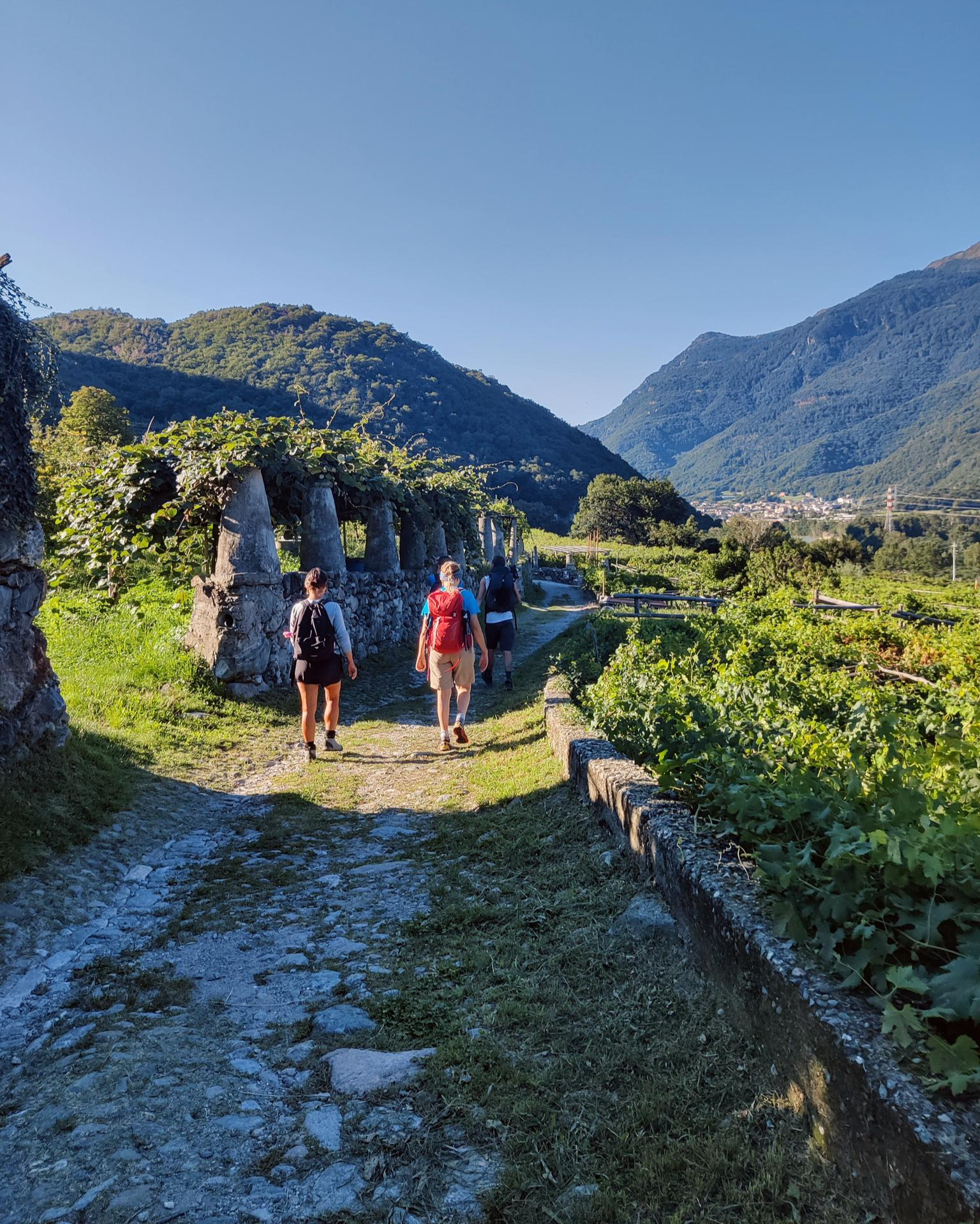
Piemont's Via Francigena

GTA Central Piedmont – Dense forests, lakes and impressive waterfalls
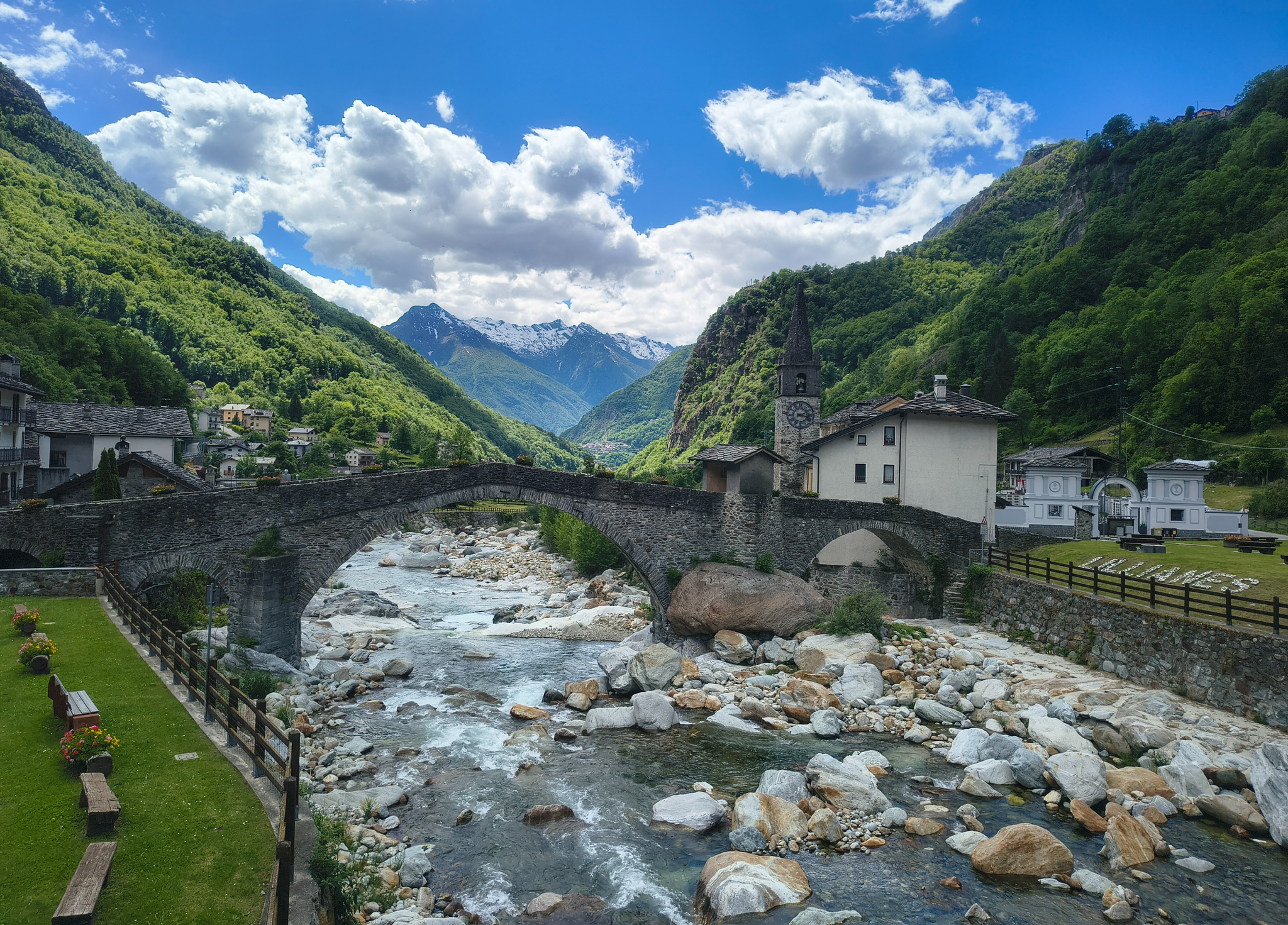
Three days on the Cammino Balteo – The historic Aosta Valley

Cammino Balteo – castles, vineyards and trails of the Aosta Valley

Alta Via n. 2 of the Aosta Valley — high peaks and beautiful valleys in Italy
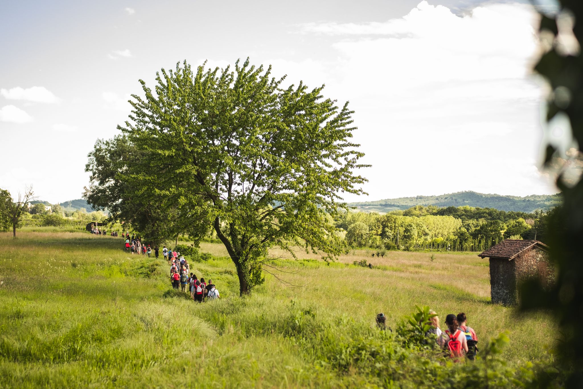
Via Francigena in Canavese – complete route and 'for all' section

Paths, castles and views of Italy’s Aosta Valley – Cammino Balteo
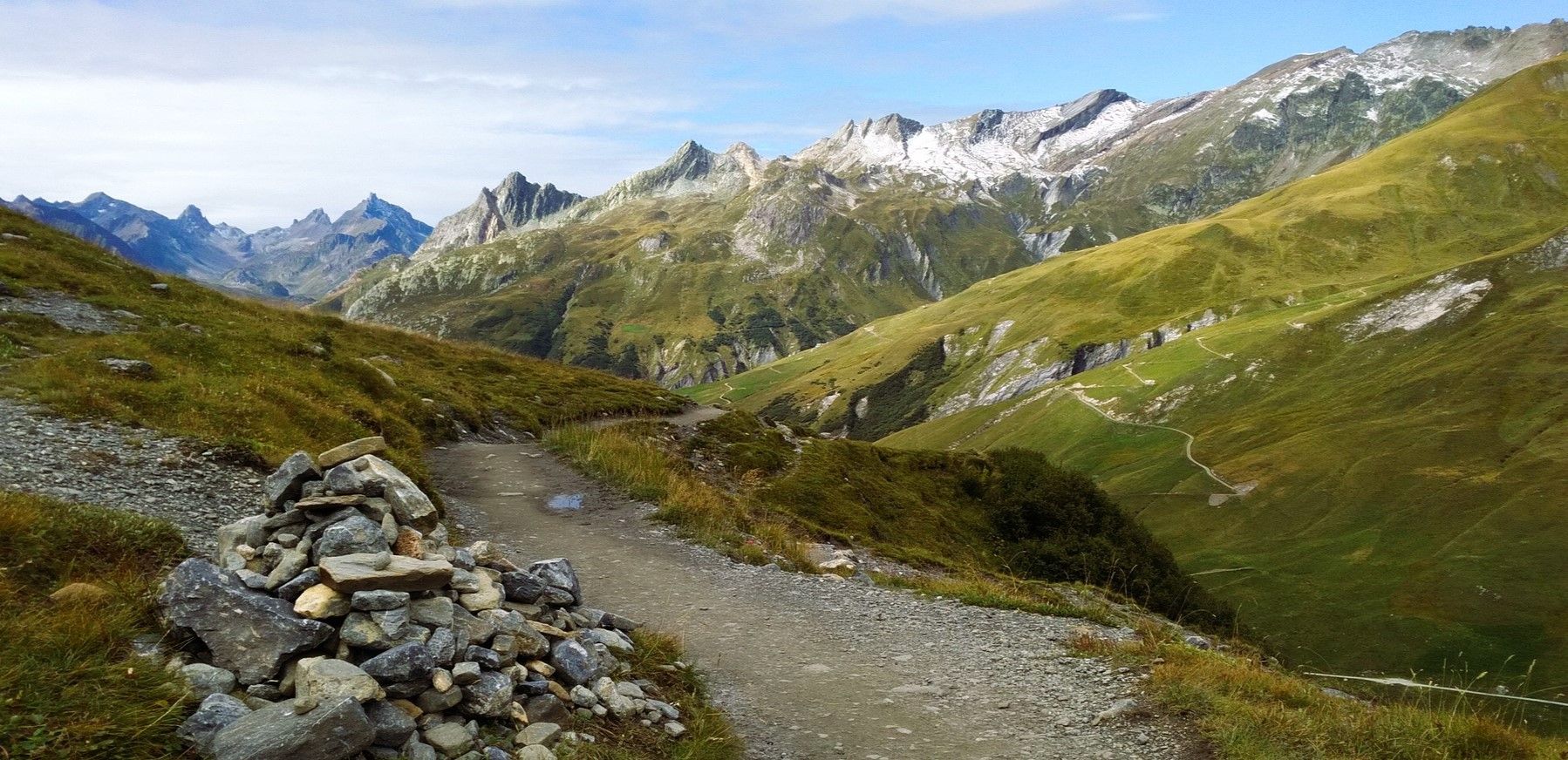
At the foot of Mont Blanc – a trek around Courmayeur
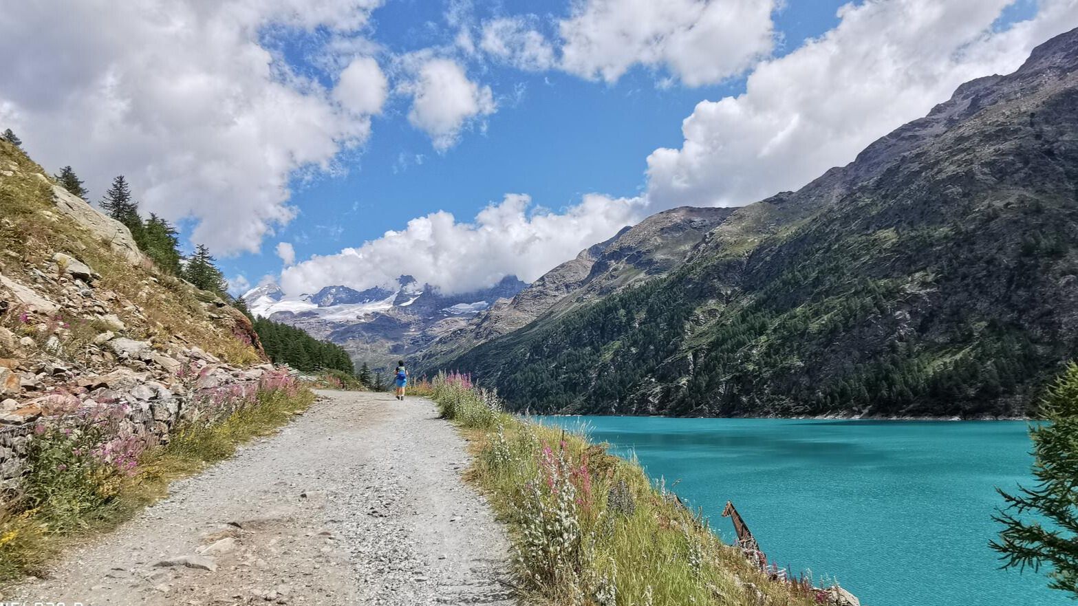
In the footsteps of the first mountaineers – Valpelline Trek
Other adventures around the Dora Baltea


Tips from the Community

A small church located in the hilly area and dating back to the 12th century, in an excellent state of preservation and located in a panoramic position, so much so that nearby they have installed the giant bench of la Vila (of the municipality of Villareggia)
0
0

Lake Sirio in the summer is a real gem. Lush nature on the edge of the lake with the possibility of running or walking for about 3 km around it, including a short stretch of dirt. For swimming enthusiasts there is an embarrassment of choice because of all 5 morainic lakes in the area of the 5 lakes, this is the largest in terms of extension. The stretch that I have defined is a lap that touches the landing stage of the private rowing club, goes around the yellow buoys for the entire lake in the parts close to the banks. From mid-April (for the more daring with a wetsuit) until the end of September the temperatures allow swimming. I strongly recommend everyone to swim, however always bringing with them a floating buoy or a board with a belt tied around their waist.
0
0
It is a unique place of its kind. In a rather small and circumscribed area 2 steps from the Montalto lake (also called "Rabbit" lake) there is an area with a very dark soil composed of water, peat, earth and medium-sized trees. Especially when the ground is wet or it has rained previously if you jump on the surface, it moves creating small waves making the surrounding trees dance. A real show! You can reach the dancing lands from 2 different dirt tracks. For those with good technical skills the entry or exit paths in both directions are also fun to pedal.
0
0

Regardless of whether you reach the Serra di Ivrea or not, even wandering around these lakes, taking advantage of the good signage present, pays off! There is a nice variety of environments and paths, from single track to dirt road, ending on cobblestone sections, never too banal, especially in the wet... the lake environments are beautiful, given that most of these lakes are not very urbanized, the stilt houses rebuilt on the shore of Lake Pistono are very beautiful, they certainly deserve a stop. Places also suitable for children, given that in the lake area the differences in altitude are very modest... just watch out for hikers, because the paths are open to everyone!
3
0
I tried to make a tour that could include most of the trails on the Moncrivello hill. Although I did not pass by the Miralta sanctuary, undoubtedly the most famous building in that area, the trails are almost always very clean. About 3/4 of the way there is a short stretch with a ramp for a jump of a certain importance. I do not recommend it because the difference in height of the jump is considerable and you land in a stretch with an additional slope. But those who love jumping and are capable will have fun. However, next to the wooden ramp on the right side there are 2 simpler passages that can be done. Overall a very fun tour, for long stretches similar to xc routes.
0
0

In this beautiful peat bog in Montaldo Dora there is a very particular natural phenomenon, which gives the place its name. The Terre Ballerine are in fact called this way because of the particular consistency of the ground, which makes those who walk on it feel like they are walking on a mattress.
1
0


Easy to reach, without timetables.
0
0
Frequently Asked Questions
How many bus station hiking trails are available around the Dora Baltea?
There are over 330 hiking trails around the Dora Baltea that are accessible from bus stations. This includes a wide variety of routes suitable for different skill levels, from easy strolls to more challenging treks.
What is the general difficulty level of hikes accessible by bus in the Dora Baltea region?
The bus-accessible trails around Dora Baltea offer a diverse range of difficulties. You'll find over 100 easy routes perfect for beginners or a relaxed day out, nearly 180 moderate trails for those seeking a bit more challenge, and close to 50 difficult routes for experienced hikers looking for strenuous climbs and alpine experiences.
What do other hikers say about the trails around Dora Baltea?
The komoot community highly rates the hiking experience around Dora Baltea, with an average score of 4.4 stars. Hikers frequently praise the region's diverse landscapes, from glacial valleys to serene riverside paths, and the accessibility of many trails via public transport.
Are there easy hikes suitable for beginners or families accessible by bus?
Yes, the Dora Baltea region offers numerous easy hikes perfect for families or beginners, many of which are conveniently located near bus stops. For instance, the Lake Sirio and Terre Ballerine Loop Trail is an excellent option, offering gentle terrain and beautiful lake views.
Can I find circular routes that start and end at a bus station?
Absolutely. Many trails around the Dora Baltea are designed as circular routes, making them ideal for bus-accessible day trips. The Lake Pistono Loop is a great example, allowing you to return to your starting point without needing additional transport.
What kind of landscapes can I expect on these bus-accessible trails?
The Dora Baltea region, fed by glaciers from the Mont Blanc massif, offers incredibly diverse landscapes. You can expect dramatic alpine scenery, clear fast-flowing rivers, serene lakes like Lake Sirio, and trails winding through forests and pastures. The river's journey carves through mountains, hills, and plains, providing a constantly changing visual experience.
Are there any notable landmarks or points of interest along bus-accessible hiking routes?
Yes, the region is rich in natural and historical attractions. Depending on your chosen route, you might encounter stunning viewpoints like View of Courmayeur and Mount Chetif, or historical sites such as ancient castles and chapels. The river itself, with features like the Ender Gorges, is a significant natural landmark.
Are the bus-accessible trails around Dora Baltea suitable for dogs?
Many trails in the Dora Baltea region are dog-friendly, allowing you to enjoy the natural beauty with your canine companion. However, it's always advisable to check specific trail regulations and ensure your dog is kept on a leash, especially in protected areas or near livestock.
What is the best time of year to hike these bus-accessible trails?
The best time to hike around Dora Baltea generally depends on the altitude and type of trail. Spring and autumn offer pleasant temperatures and vibrant scenery for lower-altitude routes. Summer is ideal for higher alpine treks, while some lower-lying paths might be accessible even in winter, offering a different, quieter experience.
Can I find trails with significant elevation gain or more challenging terrain accessible by bus?
Yes, for those seeking a challenge, there are bus-accessible routes that lead to higher altitudes with significant elevation gain. While many easy routes have minimal ascent, trails like the Serra di Ivrea Loop from Chiaverano offer moderate climbs, and more difficult routes will take you into the mountainous terrain characteristic of the Aosta Valley.
Where can I find refreshments or cafes near these bus-accessible trailheads?
Many villages and towns along the Dora Baltea river, which serve as bus stops and trailheads, offer cafes, restaurants, and shops where you can find refreshments. It's a good idea to check the specific village you plan to start your hike from for available amenities.
Most popular routes around the Dora Baltea
Most popular attractions around the Dora Baltea

Get inspired with the komoot mobile app


Explore more
Browse the best Hikes in other regions.
