The best family-friendly hikes and walks around the Dora Baltea
4.4
(4873)
31,369
hikers
770
hikes
Family friendly hiking trails around the Dora Baltea are set within Italy's Aosta Valley, a region characterized by its diverse natural features. The Dora Baltea river, fed by glacial melt from the Mont Blanc massif, carves through mountains, rolling hills, and plains. Hikers can explore elevations ranging from 1,000 to 3,000 meters, encountering varied alpine flora and fauna amidst dramatic scenery, including sheer rock faces and expansive alpine meadows.
Best family friendly hiking trails around the Dora Baltea
- The most…
Last updated: May 16, 2026
4.7
(128)
712
hikers
9.65km
04:11
610m
620m
Embark on a unique moderate hike along the Vetan to Rifugio Mont Fallère Sculpture Trail, where art meets the alpine landscape. As you ascend, you will discover hundreds of wooden…
4.9
(50)
424
hikers
14.7km
05:20
460m
460m
Embark on a challenging hike along the Tour du Mont Blanc, traversing the section from Rifugio Bertone to Rifugio Bonatti. This route offers continuous panoramic views high above Val Ferret…

Sign up for free
4.8
(30)
251
hikers
14.6km
07:19
1,240m
1,240m
Embark on a challenging ridge hike from Trappa to Mont de la Saxe, a difficult route spanning 9.1 miles (14.6 km) with a substantial elevation gain of 4057 feet (1237…
4.5
(57)
206
hikers
5.25km
01:26
80m
80m
Embark on the Lake Sirio and Terre Ballerine Loop Trail, an easy hike covering 3.3 miles (5.2 km) with a gentle elevation gain of 254 feet (77 metres). You can…
4.5
(55)
187
hikers
4.95km
01:21
70m
70m
Embark on an easy 3.1-mile (4.9 km) hike around Lake Sirio and the Dancing Lands, a route that takes about 1 hour and 20 minutes to complete. You'll experience a…
Get access to more routes and recommendations from other explorers.
Sign up for free
Already have an account?
Our route recommendations are based on thousands of hikes, rides, and runs completed by other people on komoot.
Start today with a free account
Your next adventure awaits.
Login or Signup
Popular around Dora Baltea

Alta Via n. 1 of the Aosta Valley — a walk among Italian giants
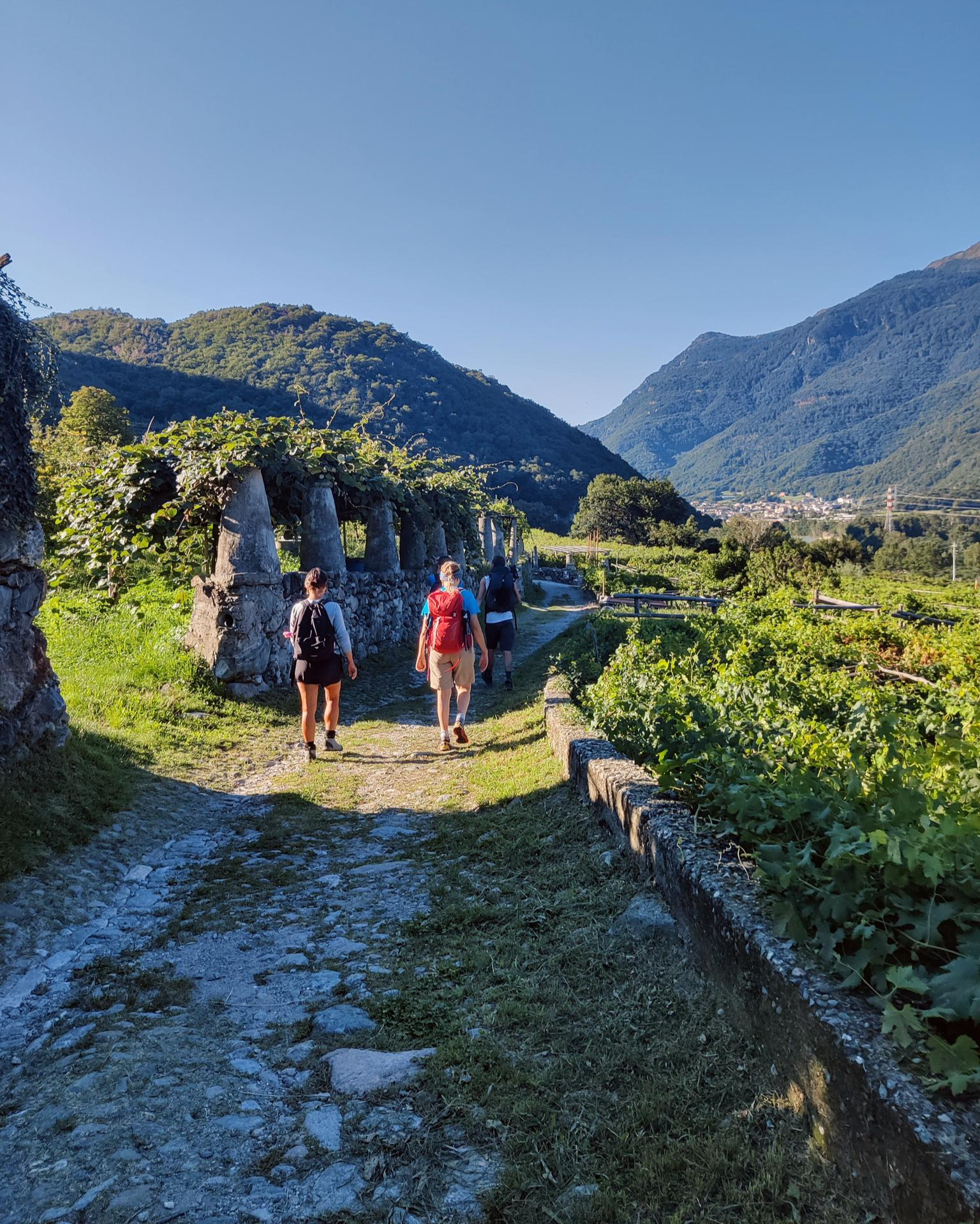
Piemont's Via Francigena

GTA Central Piedmont – Dense forests, lakes and impressive waterfalls

Alta Via n. 2 of the Aosta Valley — high peaks and beautiful valleys in Italy
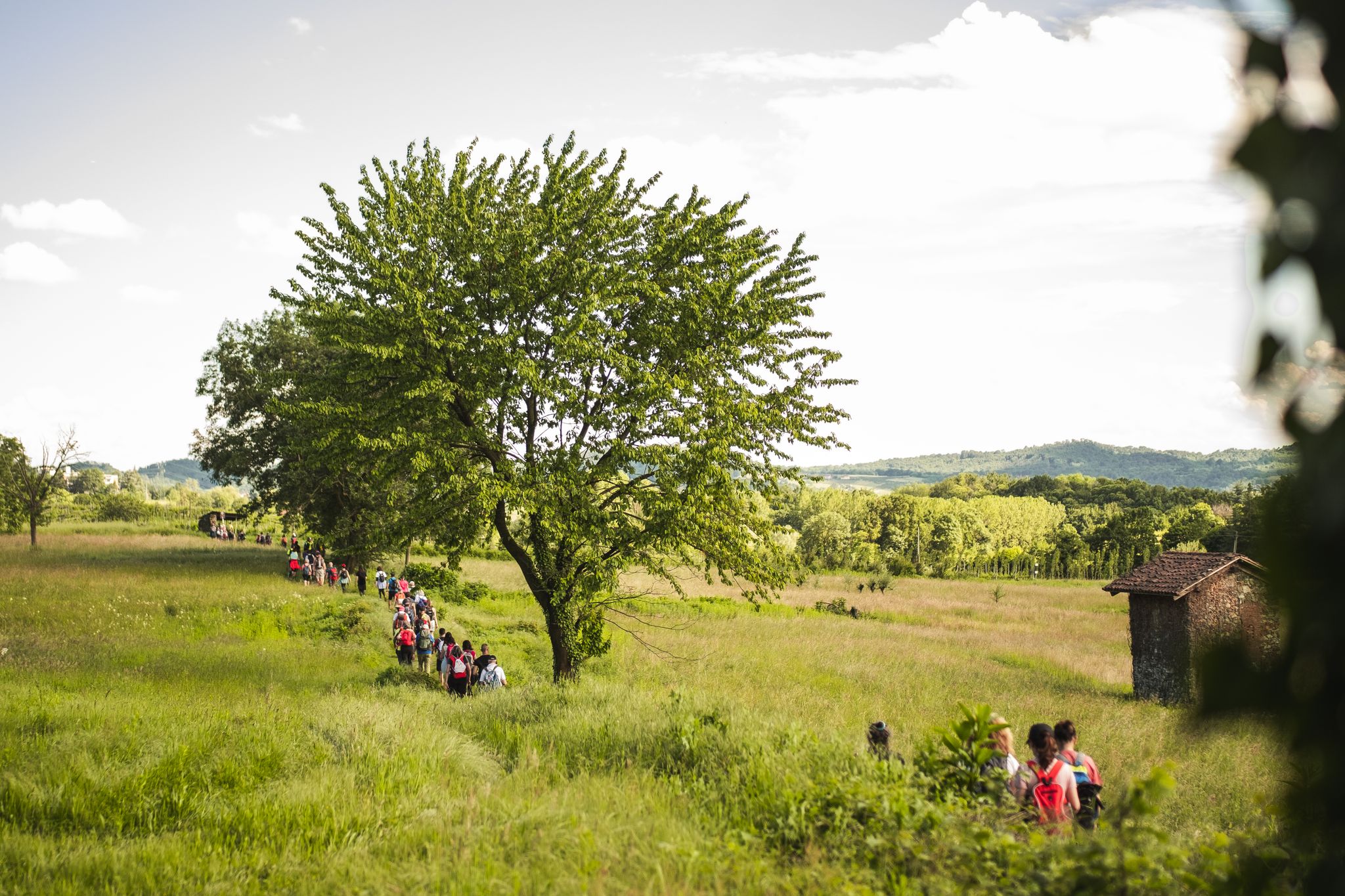
Via Francigena in Canavese – complete route and 'for all' section

Paths, castles and views of Italy’s Aosta Valley – Cammino Balteo
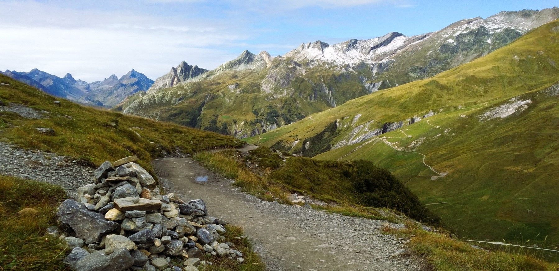
At the foot of Mont Blanc – a trek around Courmayeur
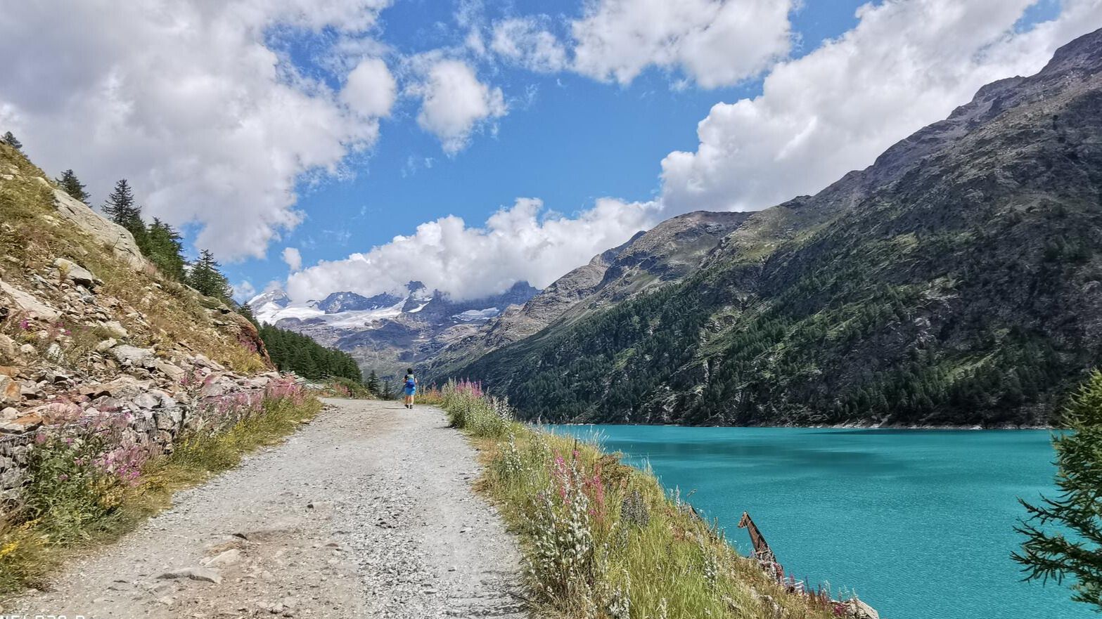
In the footsteps of the first mountaineers – Valpelline Trek
High peaks and beautiful valleys in Italy – Aosta Valley’s Alta Via Trail 2

A walk among Italian giants — Aosta Valley High Route 1
Other adventures around the Dora Baltea


Tips from the Community

Breathtaking views, check out the cake!
0
0

Marked as T4 on the trail. It’s a river crossing with stone steps either side. I’m old and uncourageous and it was easy to cross. The pics here make it look way worse than reality.
0
0
An actual bench! You can sit on it and eat some cake and there is a bit of a view
0
0

Lake Sirio in the summer is a real gem. Lush nature on the edge of the lake with the possibility of running or walking for about 3 km around it, including a short stretch of dirt. For swimming enthusiasts there is an embarrassment of choice because of all 5 morainic lakes in the area of the 5 lakes, this is the largest in terms of extension. The stretch that I have defined is a lap that touches the landing stage of the private rowing club, goes around the yellow buoys for the entire lake in the parts close to the banks. From mid-April (for the more daring with a wetsuit) until the end of September the temperatures allow swimming. I strongly recommend everyone to swim, however always bringing with them a floating buoy or a board with a belt tied around their waist.
0
0
It is a unique place of its kind. In a rather small and circumscribed area 2 steps from the Montalto lake (also called "Rabbit" lake) there is an area with a very dark soil composed of water, peat, earth and medium-sized trees. Especially when the ground is wet or it has rained previously if you jump on the surface, it moves creating small waves making the surrounding trees dance. A real show! You can reach the dancing lands from 2 different dirt tracks. For those with good technical skills the entry or exit paths in both directions are also fun to pedal.
0
0

The Mont Fallère Refuge, at 2,385 m, is located in the valley between Mont Fallère and Monte Rosso di Vertosan. It offers 50 beds in rooms with bathrooms, and has a restaurant with typical cuisine. Open in summer, it can be reached on foot or by mountain bike.
1
1

In this beautiful peat bog in Montaldo Dora there is a very particular natural phenomenon, which gives the place its name. The Terre Ballerine are in fact called this way because of the particular consistency of the ground, which makes those who walk on it feel like they are walking on a mattress.
1
0

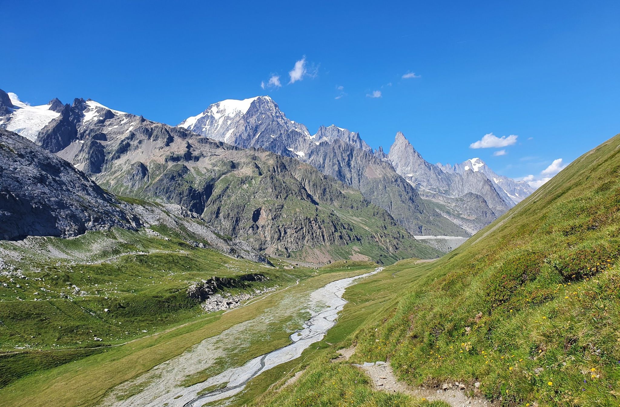
Spectacular view of the Jorasses, from the plateau of the Walter Bonatti Refuge!
0
0
Frequently Asked Questions
What kind of terrain and elevation can we expect on family-friendly hikes around the Dora Baltea?
The Dora Baltea region offers a diverse landscape, from river plains to alpine meadows, with elevations ranging from 1,000 to 3,000 meters. Family-friendly routes are generally designed to be accessible, but some may still involve moderate ascents. For example, the Vetan to Rifugio Mont Fallère Sculpture Trail has an elevation gain of over 600 meters, while the Lake Sirio and Terre Ballerine Loop Trail is much flatter with only about 77 meters of ascent, making it ideal for easier walks.
Are there any easy or stroller-friendly trails suitable for toddlers and young children?
Yes, there are several easy trails perfect for families with toddlers or strollers. The Lake Sirio and Terre Ballerine Loop Trail is a great option, offering a relatively flat path around the picturesque lake, some parts even featuring floating docks. For those seeking an artistic touch, the "Vetan to Rifugio Mont Fallère Sculpture Trail" also has sections that are more accessible, though the full route is moderate.
What natural features or landmarks can we discover along the family-friendly hiking trails?
The Dora Baltea region is rich in natural beauty and historical sites. You can explore stunning lakes like Lake Pistono and Lake Ville, or visit unique natural monuments such as The Dancing Lands and the Les Iles Nature Reserve. Additionally, many trails pass by ancient villages and medieval castles like Mazzè Castle and Saint-Marcel Castle, offering a blend of nature and history.
When is the best time of year to go hiking with family in the Dora Baltea region?
The Dora Baltea region is beautiful throughout the warmer months. Spring brings crystal blue glacial waters and blooming alpine flora, while late summer and fall offer deep turquoise waters and vibrant autumn colors. Generally, late spring through early autumn (May to October) provides the most favorable weather conditions for family hiking, with comfortable temperatures and accessible trails. Always check local weather forecasts before heading out.
Are dogs allowed on the family-friendly hiking trails, and are there any specific rules?
Many trails in the Dora Baltea region are dog-friendly, making it a great destination for families with pets. However, it's always recommended to keep dogs on a leash, especially in nature reserves or areas with livestock, to protect local wildlife and ensure the safety of other hikers. Always carry waste bags and clean up after your dog. Specific rules may vary by trail or protected area, so look for signage at trailheads.
What do other hikers enjoy most about hiking in Dora Baltea?
The area is highly rated by the komoot community, with an average score of 4.44 stars. Reviewers often praise the stunning and diverse landscapes, from glacial rivers to alpine meadows, and the well-maintained network of trails suitable for various skill levels. The blend of natural beauty with historical and cultural attractions, such as castles and unique sculpture trails, is also frequently highlighted as a major draw.
Are there any circular routes suitable for families?
Yes, the Dora Baltea region offers several circular routes that are great for families, allowing you to start and end at the same point without needing a return trip. A notable example is the Lake Sirio and Terre Ballerine Loop Trail, which provides an easy and scenic walk around the lake. The broader Cammino Balteo, while a long-distance trail, also consists of 23 stages that can be explored as individual circular or point-to-point hikes.
Where can we find parking or access trails via public transport?
Access to trails varies across the region. Many popular trailheads, especially those near villages or attractions, offer designated parking areas. For public transport, some areas, particularly those connected to larger towns or ski resorts like Vialattea, might have bus services or even chairlifts and cable cars to higher elevations. It's advisable to check specific route details on komoot for parking information and public transport options for your chosen trail.
Are there cafes, restaurants, or accommodation options near the family-friendly hiking trails?
Yes, the Dora Baltea region is well-equipped with amenities. Many trails pass through or near charming villages where you can find cafes, restaurants, and various accommodation options, from hotels to guesthouses. Mountain refuges, such as Rifugio Giorgio Bertone, also offer food and lodging, providing a unique experience for families on longer hikes. It's a good idea to check opening times, especially during off-peak seasons.
What are some less crowded family-friendly hiking options in the Dora Baltea region?
While popular spots can attract visitors, the Dora Baltea region has many hidden gems. Exploring stages of the Cammino Balteo, which guides adventurers through less-explored parts of the Aosta Valley, can offer a more tranquil experience. Additionally, seeking out trails slightly off the main tourist paths, or hiking during weekdays or outside of peak summer season, can lead to a more peaceful family outing. Always check komoot for detailed route information and recent reviews to gauge current popularity.
How many family-friendly hiking trails are available in the Dora Baltea region?
Komoot features over 730 hiking routes in the Dora Baltea region, with 178 specifically categorized as easy, making them highly suitable for families. This wide selection ensures there are plenty of options for all ages and fitness levels, from short, gentle strolls to more adventurous, moderate hikes.
Most popular routes around the Dora Baltea
Most popular attractions around the Dora Baltea

Get inspired with the komoot mobile app


Explore more
Browse the best Hikes in other regions.
