The best traffic-free bike rides around Pfäfers
4.5
(1521)
19,864
riders
10
rides
No traffic touring cycling routes around Pfäfers are characterized by dramatic alpine landscapes, deep gorges, and the expansive Rhine Valley. The region features significant elevation changes, from the Tamina Canyon to majestic mountain peaks, offering panoramic views across the Seeztal and Bündner Herrschaft. Cyclists navigate through diverse topography, including the picturesque Tamina Valley, serene reservoirs, and the Kunkel Pass. The area provides a varied terrain for touring cyclists, with routes often following river embankments or winding through vineyards.
Best no…
Last updated: October 1, 2026
4.5
(2)
83
riders
59.5km
05:02
1,950m
1,950m
Hard bike ride. Very good fitness required. Mostly paved surfaces. Suitable for all skill levels.
48
riders
24.8km
01:51
500m
500m
Hard bike ride. Very good fitness required. Mostly paved surfaces. Suitable for all skill levels.

31
riders
15.8km
01:14
410m
410m
Moderate bike ride. Good fitness required. Mostly paved surfaces. Suitable for all skill levels.
5.0
(1)
17
riders
22.2km
01:41
510m
510m
Hard bike ride. Very good fitness required. Mostly paved surfaces. Suitable for all skill levels.
4.0
(1)
11
riders
8.62km
00:53
360m
360m
Moderate bike ride. Good fitness required. Mostly paved surfaces. Suitable for all skill levels.
Get access to more routes and recommendations from other explorers.
Already have an account?
Our route recommendations are based on thousands of hikes, rides, and runs completed by other people on komoot.
Start today with a free account
Your next adventure awaits.
Popular around Pfäfers

Sardona World Heritage Trail – Where the Alps once formed

Lake and Alps Adventure – explore 100 dreamy places in our cycling region!
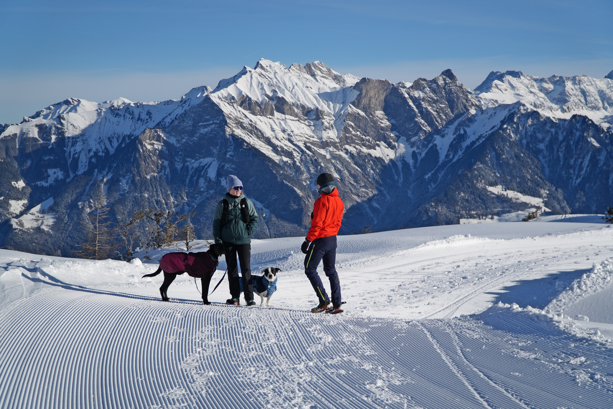
Enchanting winter hikes with dogs in Eastern Switzerland
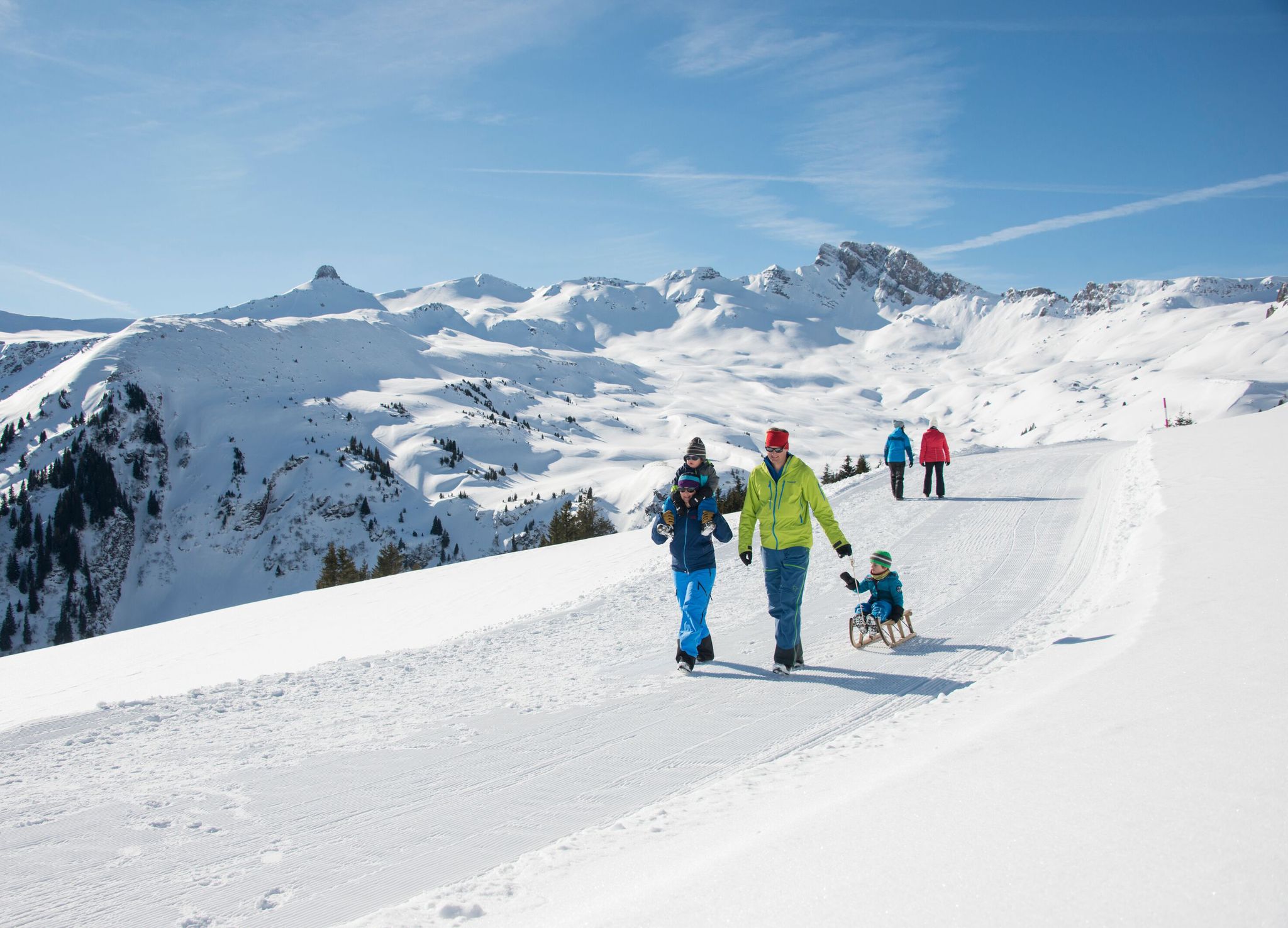
Family-friendly winter hikes in Eastern Switzerland
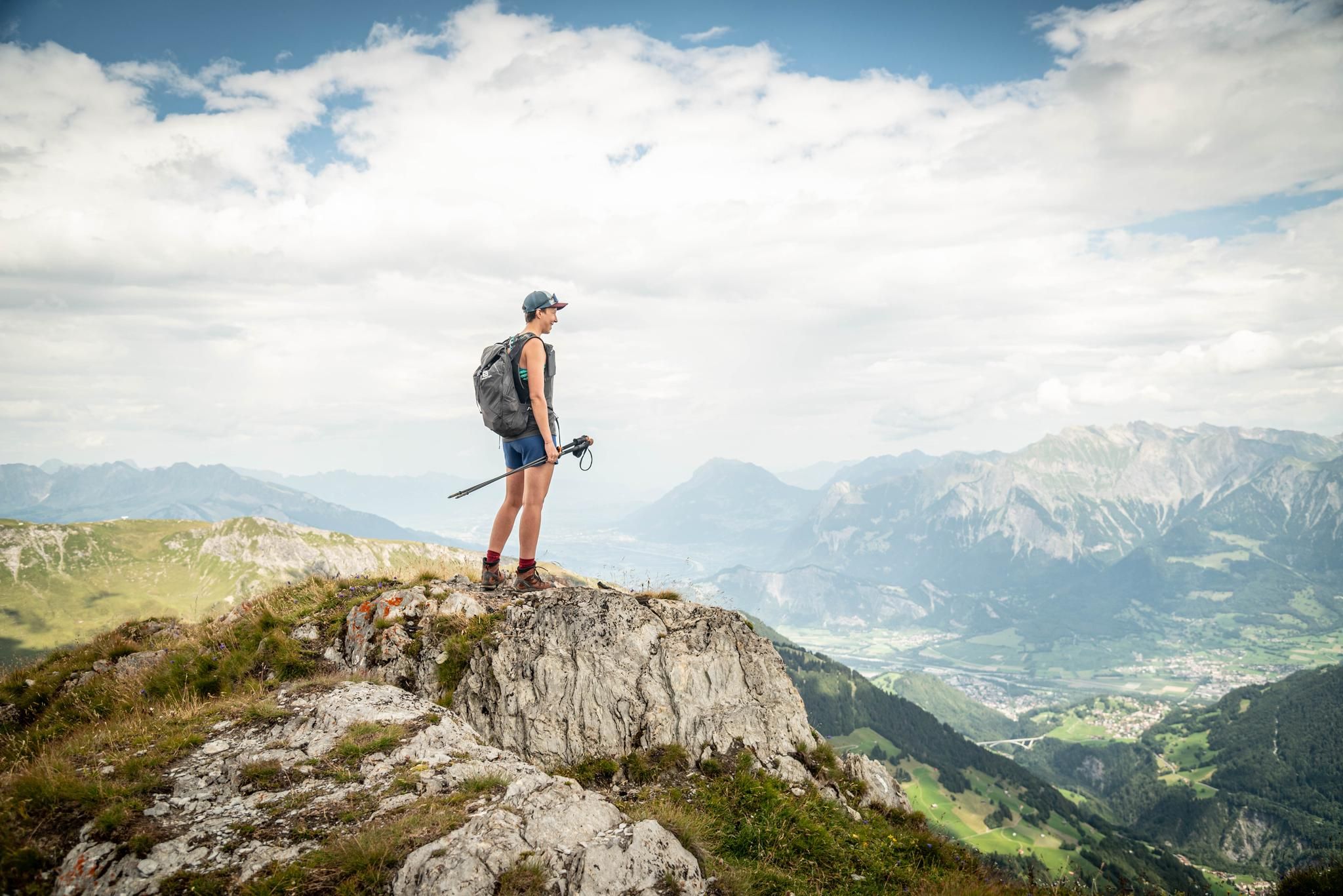
Peak bagging hikes in Heidiland
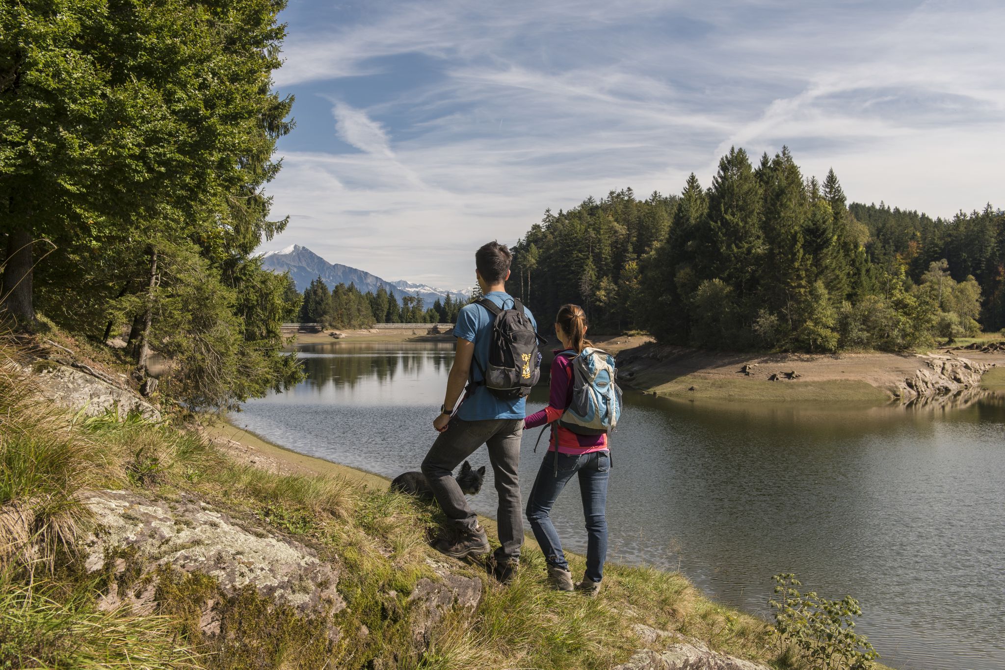
Summer in Eastern Switzerland – 10 hikes in Heidiland

Blue lakes, wide panoramas & autumnal splendour – hiking in Heidiland
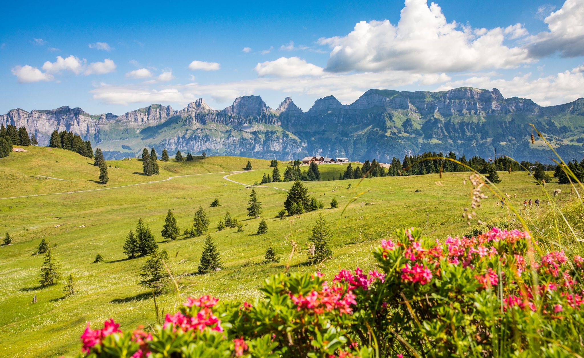
Pure Swiss mountain idyll – hikes in Heidiland
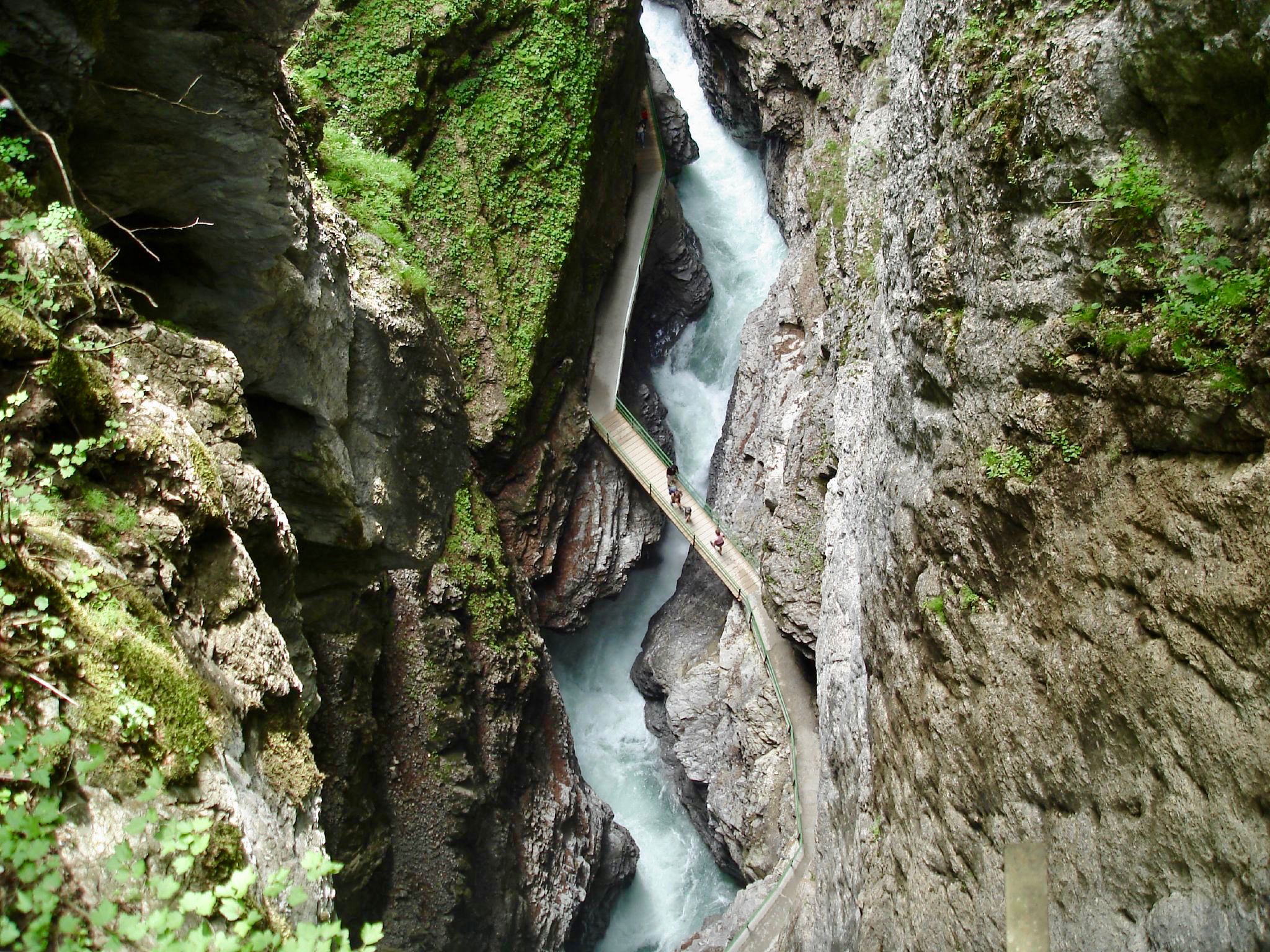
The most beautiful gorges of the Alps
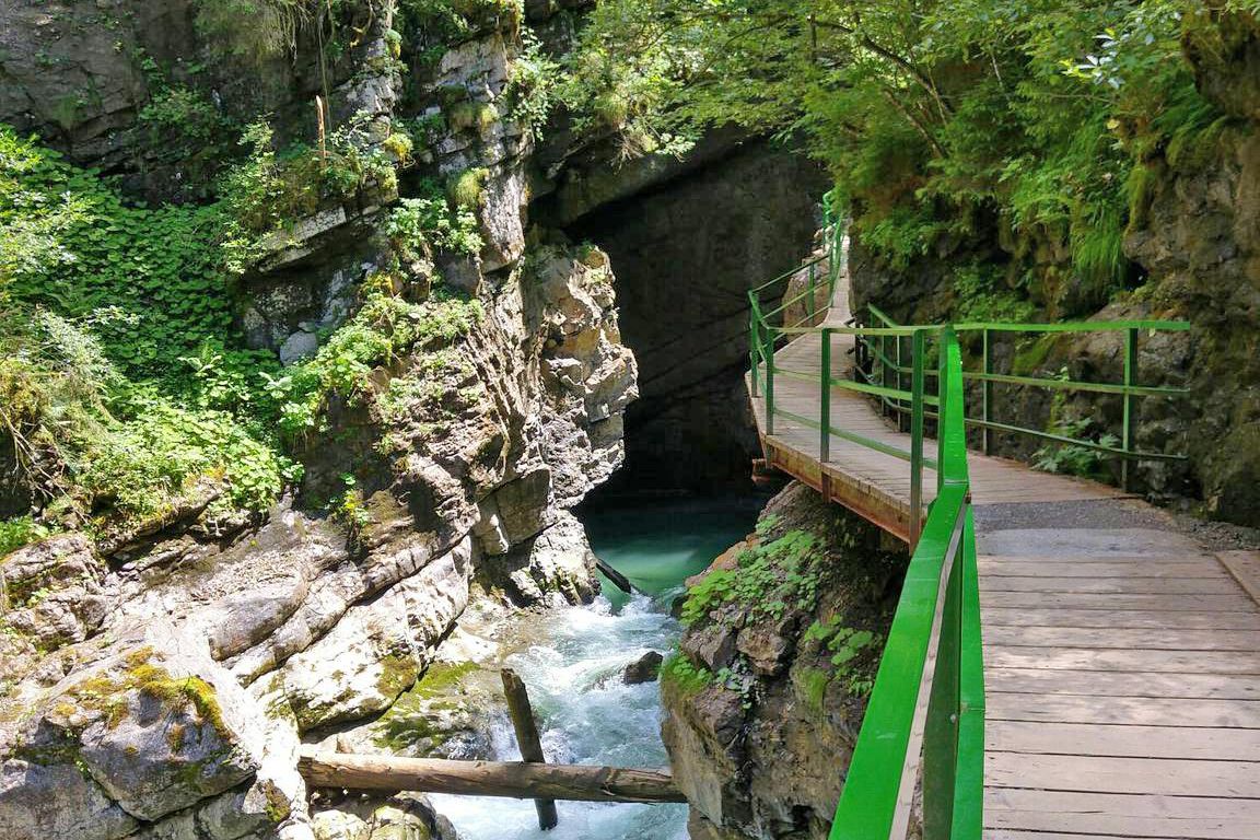
Wild gorges in southern Germany and northern Switzerland
Other adventures around Pfäfers


Tips from the Community

the homemade fruit tart tastes delicious.
0
0

Traffic-free road from here to Bad Ragaz, great cycling route
0
0

There's no car traffic on this road. There's still an incline.
0
0

A place of power in a special class
0
0

Ruinaulta Rhine Gorge The Ruinaulta, or Rhine Gorge, is a gorge of the Vorderrhein River, up to 400 meters deep and approximately 13 kilometers long, between Ilanz and the mouth of the Hinterrhein River near Reichenau in the canton of Graubünden in Switzerland. The Romansh name 'Ruinaulta' is composed of the two words ruina (scree slope, quarry) and aulta (high). The Ruinaulta was formed after the Flims Landslide almost 10,000 years ago. At that time, over 10 billion cubic meters of rock broke off between the Flimserstein and Piz Grisch, burying the Vorderrhein Valley between the present-day villages of Castrisch and Reichenau under a mass of debris several hundred meters thick. Because the Vorderrhein River could no longer drain away, a lake was dammed over a length of approximately 25 kilometers. Over time, the river cut deep into the landslide, and the resulting lake drained away completely. What remained was the Ruinaulta, with its steep limestone scree cliffs in impressive erosion formations. Text / Source: Wikipedia https://de.wikipedia.org/wiki/Ruinaulta
16
0
Confluence of the Vorderrhein and Hinterrhein, Reichenau Dominated by Reichenau Castle, the hamlet lies at the confluence of the Vorderrhein and Hinterrhein rivers, making it virtually the birthplace of the Rhine. It all began 10,000 years ago. Between the Flimserstein (a high plateau) and Piz Grisch, over 10,000 cubic meters of rock broke off and thundered down into the valley. Towards Reichenau, the Vorderrhein valley disappears under a gigantic mass of rubble. From there, the Rhine diligently ate its way through the rock, creating the spectacular Swiss "Grand Canyon" – the Ruinaulta. Text / Source: myswitzerland.com https://www.myswitzerland.com/de-ch/erlebnisse/route/vom-zusammenfluss-der-rheine-in-die-rheinschlucht/
16
0

very nice on sunny days
0
0

Frequently Asked Questions
How many no-traffic touring cycling routes are available around Pfäfers?
There are over 10 dedicated no-traffic touring cycling routes around Pfäfers, offering a variety of experiences. These routes are split evenly between moderate and difficult ratings, ensuring options for different skill levels.
What do other touring cyclists enjoy most about the no-traffic routes in Pfäfers?
The no-traffic touring cycling routes in Pfäfers are highly rated by the komoot community, with an average score of 4.6 out of 5 stars from over 1170 ratings. Reviewers often praise the stunning alpine scenery, the tranquility of car-free paths, and the unique natural features like the Tamina Gorge.
Are there any circular no-traffic touring routes in Pfäfers?
Yes, many of the no-traffic touring routes around Pfäfers are designed as loops. For example, you can explore the challenging Kunkel Pass – Kunkels Pass Tunnel loop from Vättis, which offers dramatic alpine vistas, or the more moderate Bergrestaurant Kunkelspass – Kunkel Pass loop from Vättis.
What natural attractions can I see along the no-traffic touring cycling routes?
The region is rich in natural beauty. You can cycle past the impressive Tamina Gorge, experience the serene Mapraggsee, or enjoy views of the Rhine Valley. The Tamina springs, flowing at a constant 36.5°C, are also a significant natural attraction within the gorge area.
Are there any historical landmarks or castles accessible from these routes?
Absolutely. The Heidiland region is dotted with historical sites. You can visit the impressive Sargans Castle, which offers magnificent panoramic views, or explore the area around the Pfäfers Monastery, Switzerland's earliest baroque spa building.
What is the best time of year to cycle the no-traffic routes in Pfäfers?
The best time for touring cycling in Pfäfers is typically from spring to autumn. During these seasons, the weather is generally mild, and the alpine landscapes are vibrant. Some higher elevation routes, like those over Kunkel Pass, might be inaccessible due to snow in early spring or late autumn.
Are there any family-friendly no-traffic cycling options in Pfäfers?
While many routes feature significant elevation changes, there are options suitable for families. The Tamina Bridge – Pfäfers Monastery and Village loop from Bad Ragaz is a moderate route that offers a shorter distance and cultural points of interest, making it a good choice for families looking for a less strenuous ride.
Can I access these no-traffic routes using public transport?
Yes, Pfäfers and the surrounding areas are well-connected by public transport, particularly PostBus services. Many routes, including those starting from Vättis or Bad Ragaz, are accessible by bus, allowing you to reach starting points without a car. It's advisable to check specific bus schedules and bike transport options in advance.
Where can I park my car if I want to cycle a no-traffic route?
Parking is generally available in the main villages and towns near the route starting points, such as Bad Ragaz or Vättis. These locations often serve as convenient hubs for accessing the car-free cycling paths. Always check local signage for parking regulations and fees.
Are there any cafes or restaurants along the no-traffic touring cycling routes?
Yes, the Heidiland region is known for its hospitality. Many routes pass through picturesque villages or near mountain inns and restaurants where you can stop for refreshments. For example, the Bergrestaurant Kunkelspass is a notable stop on one of the Kunkel Pass loops.
What are some challenging no-traffic routes for experienced touring cyclists?
Experienced touring cyclists will find several challenging no-traffic routes. The Kunkel Pass – Kunkels Pass Tunnel loop from Vättis, spanning nearly 60 km with significant elevation gain, offers a demanding ride through dramatic alpine terrain. Another challenging option is the Saarfall – View of Tamina Bridge loop from Valens.
Most popular attractions around Pfäfers

Get inspired with the komoot mobile app


Explore more
Browse the best Cycling routes in other regions.
