The best walks and hikes around Lumino
4.6
(554)
4,086
hikers
14
hikes
Hiking around Lumino, a municipality in the canton of Ticino, Switzerland, offers diverse landscapes for outdoor activities. The region is characterized by extensive forested areas, agricultural lands, and varied topography, including rivers and lakes. This environment provides a network of trails for exploration, with elevation gains ranging from moderate to significant.
Best hiking trails around Lumino
- The most popular hiking route is From Monti Saurù to the Brogoldone hut – circular route, a 4.3 miles (6.8 km) trail that takes 3 hours 42 minutes to complete. This moderate route offers views towards the Brogoldone hut.
- Another top favourite among local hikers is Towards Pizzo Molinera and Piz de Martum – loop from Maruso, a difficult 6.9 miles (11.2 km) path. This route features significant elevation gain towards Pizzo Molinera and Piz de Martum.
- Local hikers also love the From Monti Saurù to Lake Carrè – loop tour, a 9.6 miles (15.4 km) trail leading through mountain terrain and past Lake Carrè, often completed in about 7 hours 17 minutes.
- Hiking around Lumino is defined by extensive forested areas, varied topography, and mountain landscapes. The network offers options for different ability levels, from moderate paths to more challenging routes.
- The routes in Lumino are highly rated by the komoot community with an average score of 4.6 stars from over 500 reviews. More than 4000 hikers have used komoot to explore Lumino's varied terrain.
Last updated: May 10, 2026
5.0
(5)
38
hikers
6.84km
03:42
630m
630m
Moderate hike. Good fitness required. Mostly accessible paths. Sure-footedness required.
5.0
(1)
22
hikers
11.2km
06:02
1,070m
1,070m
Hard hike. Very good fitness required. Sure-footedness, sturdy shoes and alpine experience required.

Sign up for free
4.0
(1)
7
hikers
15.4km
07:17
1,270m
1,270m
This difficult 9.6-mile loop hike from Monti Saurù to Lake Carrè in the Pizzo di Claro region offers challenging climbs and alpine views.
4.0
(1)
20
hikers
13.6km
03:30
60m
60m
Moderate hike. Good fitness required. Mostly accessible paths. Sure-footedness required.
3.7
(3)
9
hikers
15.3km
06:48
1,090m
1,090m
Hike the difficult 9.5-mile Lumino Monti Saurù Trail, gaining 3570 feet in elevation with panoramic views and alpine landscapes.
Get access to more routes and recommendations from other explorers.
Sign up for free
Already have an account?
Our route recommendations are based on thousands of hikes, rides, and runs completed by other people on komoot.
Start today with a free account
Your next adventure awaits.
Login or Signup
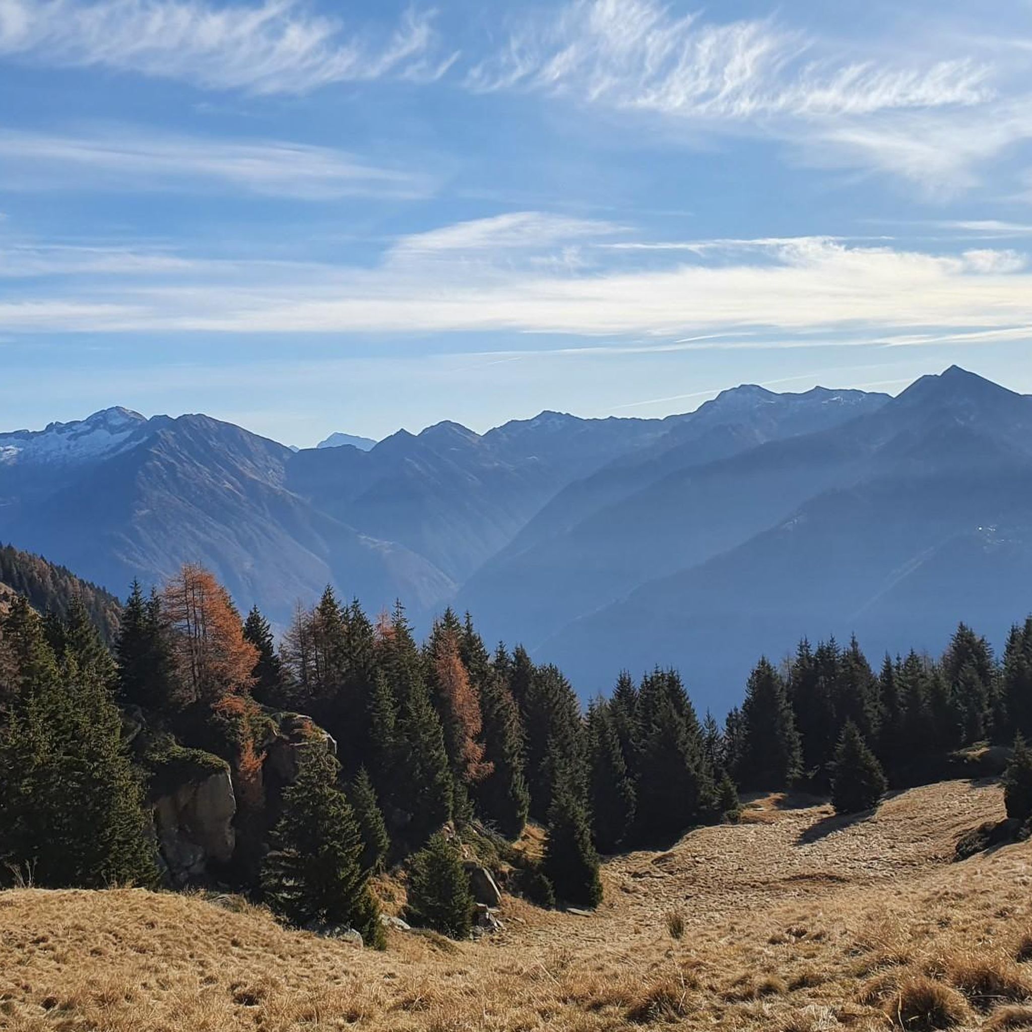
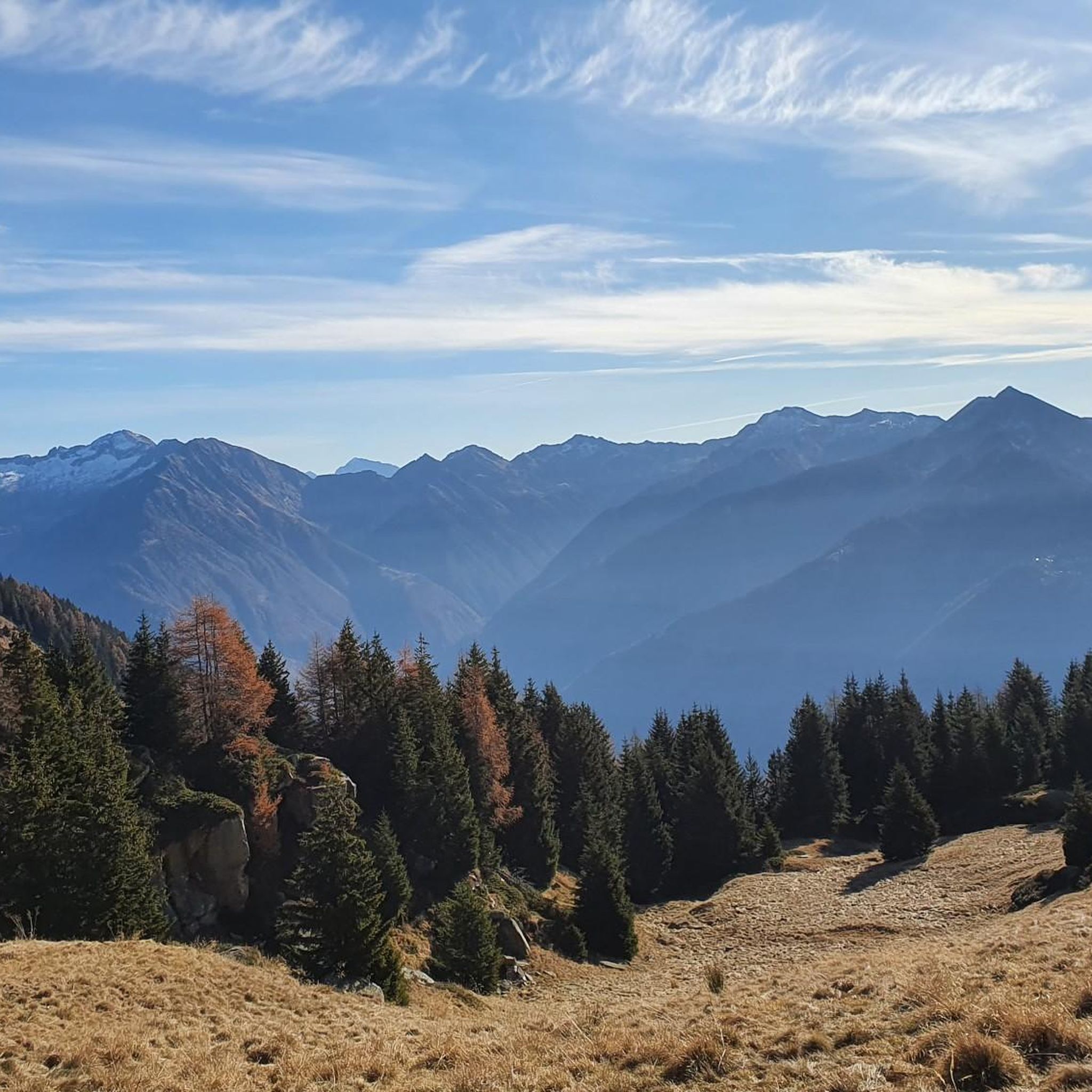
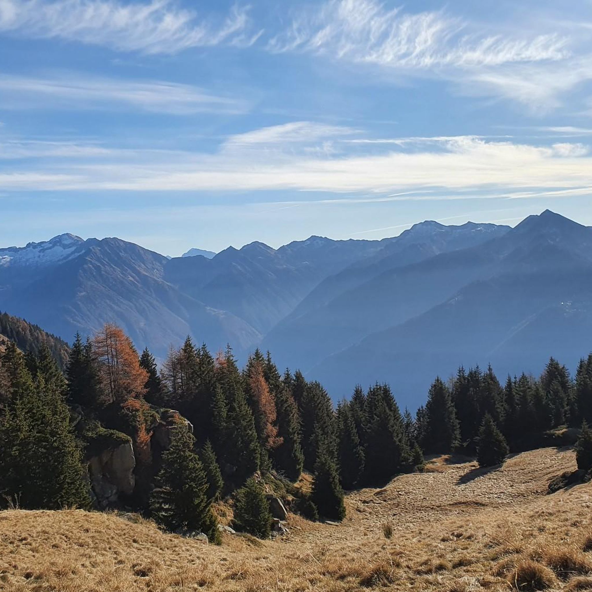
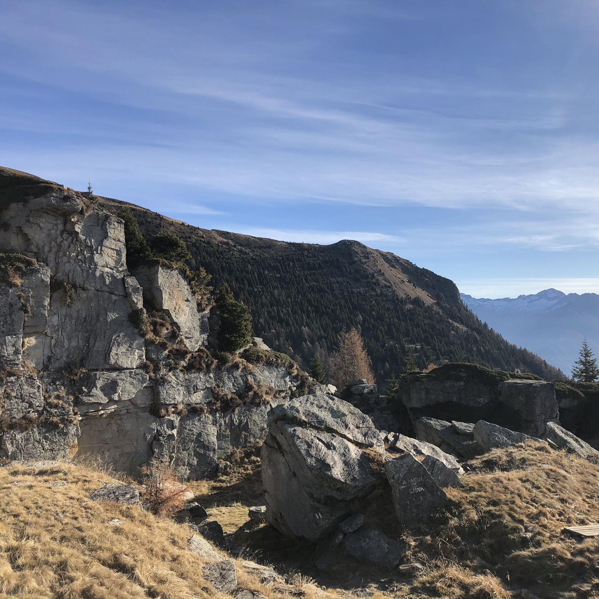
Tips from the Community


Again and again you discover great wooden figures along the way.
3
0
The Capanna Brogoldone is an alpine pasture with two main huts. One hut can accommodate up to 59 people. The other hut houses a small restaurant. Amazing views from up there!
4
0
Take the train up to Monti di Saurù and from there take a lovely hike.
3
0

It's simply fantastic up there. It's easily accessible on foot or by the Pizzo di Claro cable car.
8
0
The Capanna Brogoldone was once a mountain pasture and is today the result of a desire to preserve the remains of a bygone era. From 1995 to 1998, a group of volunteers set to work renovating the two existing buildings while maintaining the typical structure of the pasture: the former stable became a dormitory, and the building that once served as a cheese dairy and shelter for the mountain herders was converted into a kitchen and dining room. Source: https://www.brogoldone.ch/
8
1
Great wooden sculptures appear again and again along the way.
8
0

At the foot of the Pizzo di Claro lies the Canèe lake, an idyllic mountain lake with crystal clear water in a treasure chest of mountains.
0
0
Frequently Asked Questions
How many hiking trails are there in Lumino?
Lumino offers a network of over 10 hiking trails, catering to various skill levels. These routes explore the region's diverse landscapes, including extensive forested areas and varied topography.
What are the typical difficulty levels of hikes in Lumino?
The hiking trails in Lumino range from moderate to difficult. You'll find 6 moderate routes and 8 difficult ones, with options for various fitness levels. For instance, the From Lumino to Grosca – loop tour is a moderate option, while the Towards Pizzo Molinera and Piz de Martum – loop from Maruso is considered difficult due to significant elevation gain.
Are there many circular hiking routes available in Lumino?
Yes, Lumino features several excellent circular hiking routes. Popular options include the From Monti Saurù to the Brogoldone hut – circular route, which offers views towards the hut, and the From Monti Saurù to Lake Carrè – loop tour, leading through mountain terrain and past Lake Carrè.
What natural features or landmarks can I see while hiking near Lumino?
Hikers in Lumino can discover a variety of natural features and historical landmarks. Notable points of interest include the Motto della Croce viewpoint, offering scenic vistas, and the serene Carmena Dam and Lake. You can also explore historical sites like Sasso Corbaro Castle.
Are there any waterfalls to discover on hikes in Lumino?
Yes, for those seeking the beauty of cascading water, the Pozzo di Osogna Waterfall is a notable natural attraction in the vicinity of Lumino's hiking trails.
What do other hikers enjoy the most about hiking in Lumino?
The hiking experience in Lumino is highly rated by the komoot community, with an average score of 4.6 stars from over 500 reviews. Hikers often praise the region's diverse terrain, which includes extensive forested areas and varied topography, providing a rich environment for exploration. Over 4000 hikers have used komoot to discover these trails.
Are there family-friendly hiking trails in Lumino?
While many routes in Lumino involve significant elevation, some trails offer sections or shorter loops that can be suitable for families. The region's diverse terrain means there are paths with varying levels of accessibility, though longer and more strenuous options require good fitness. Always check the specific route details for suitability.
Can I bring my dog on hikes around Lumino?
Generally, dogs are welcome on hiking trails in the Ticino region, including Lumino. However, it's always advisable to keep your dog on a leash, especially in agricultural areas, near livestock, or in nature protection zones. Be sure to carry water for your pet and clean up after them.
Is parking available at trailheads in Lumino?
Parking is typically available at or near the starting points of many hiking trails in Lumino. Specific parking information can often be found in the details of individual route guides on komoot, or by checking local signage upon arrival.
How can I reach hiking trailheads in Lumino using public transport?
Lumino, being a municipality in the district of Bellinzona, is generally accessible by public transport within Switzerland. You can often reach trailheads by combining train and bus services. It's recommended to check the SBB (Swiss Federal Railways) website for current schedules and connections to Lumino and its surrounding areas to plan your journey to specific trail starting points.
Are there places to eat or stay near the hiking trails in Lumino?
As a destination for outdoor activities, Lumino and the broader Bellinzona district offer various amenities. While specific cafes or accommodations directly on every trailhead might be limited, you can find options for dining and lodging within Lumino village or nearby towns, providing convenient bases for your hiking adventures.
What is the best time of year for hiking in Lumino?
Lumino's diverse landscapes make it suitable for hiking across multiple seasons. Spring and autumn offer pleasant temperatures and vibrant scenery, while summer provides longer daylight hours for more extensive explorations. Some higher-altitude routes may be affected by snow in winter, so checking local conditions is always recommended.
Most popular attractions around Lumino

Get inspired with the komoot mobile app


Explore more
Browse the best Hikes in other regions.
