The best road cycling routes around Luisenthal
4.6
(254)
4,375
riders
129
rides
Road cycling routes around Luisenthal navigate the hilly terrain of the Thuringian Forest, characterized by dense woodlands, deep valleys, and significant elevation changes. The region offers a mix of challenging ascents and scenic descents, often following well-maintained roads through natural landscapes. Road cyclists can expect routes that traverse forested areas and open sections, providing varied riding experiences.
Best road cycling routes around Luisenthal
- The most popular road cycling route is Ski lift at Bikepark Oberhof – Oberhof Cycle Path loop…
Last updated: September 29, 2026
4.6
(16)
209
riders
Moderate road ride. Good fitness required. Some segments of this route may be unpaved and difficult to ride.
4.7
(7)
100
riders
62.0km
03:13
1,050m
1,050m
Hard road ride. Very good fitness required. Mostly well-paved surfaces and easy to ride.

5.0
(5)
77
riders
49.1km
02:24
730m
730m
Moderate road ride. Good fitness required. Mostly well-paved surfaces and easy to ride.
5.0
(3)
60
riders
23.0km
01:19
490m
490m
Moderate road ride. Good fitness required. Some segments of this route may be unpaved and difficult to ride.
4.6
(5)
61
riders
Moderate road ride. Good fitness required. Some segments of this route may be unpaved and difficult to ride.
Get access to more routes and recommendations from other explorers.
Already have an account?
Our route recommendations are based on thousands of hikes, rides, and runs completed by other people on komoot.
Start today with a free account
Your next adventure awaits.

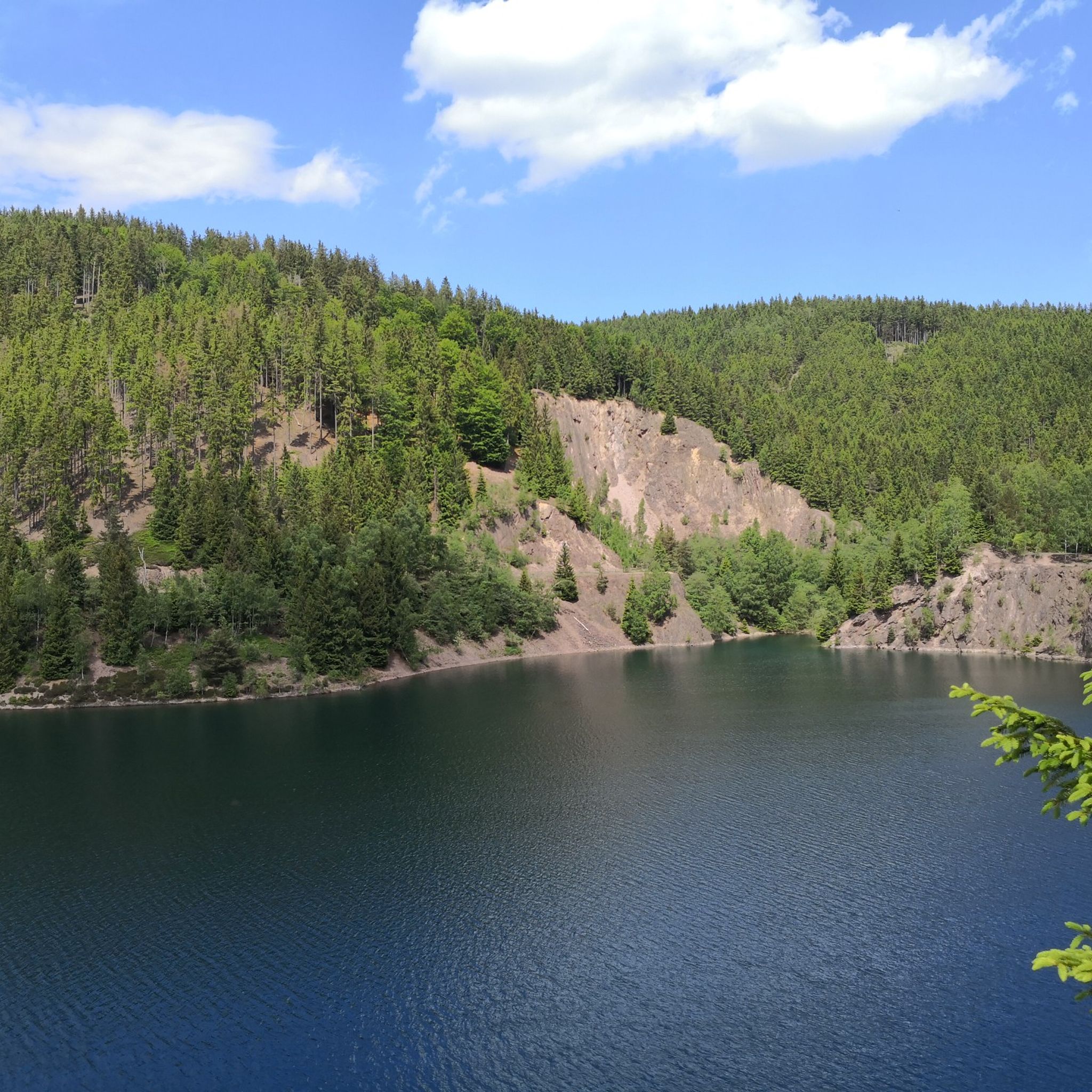
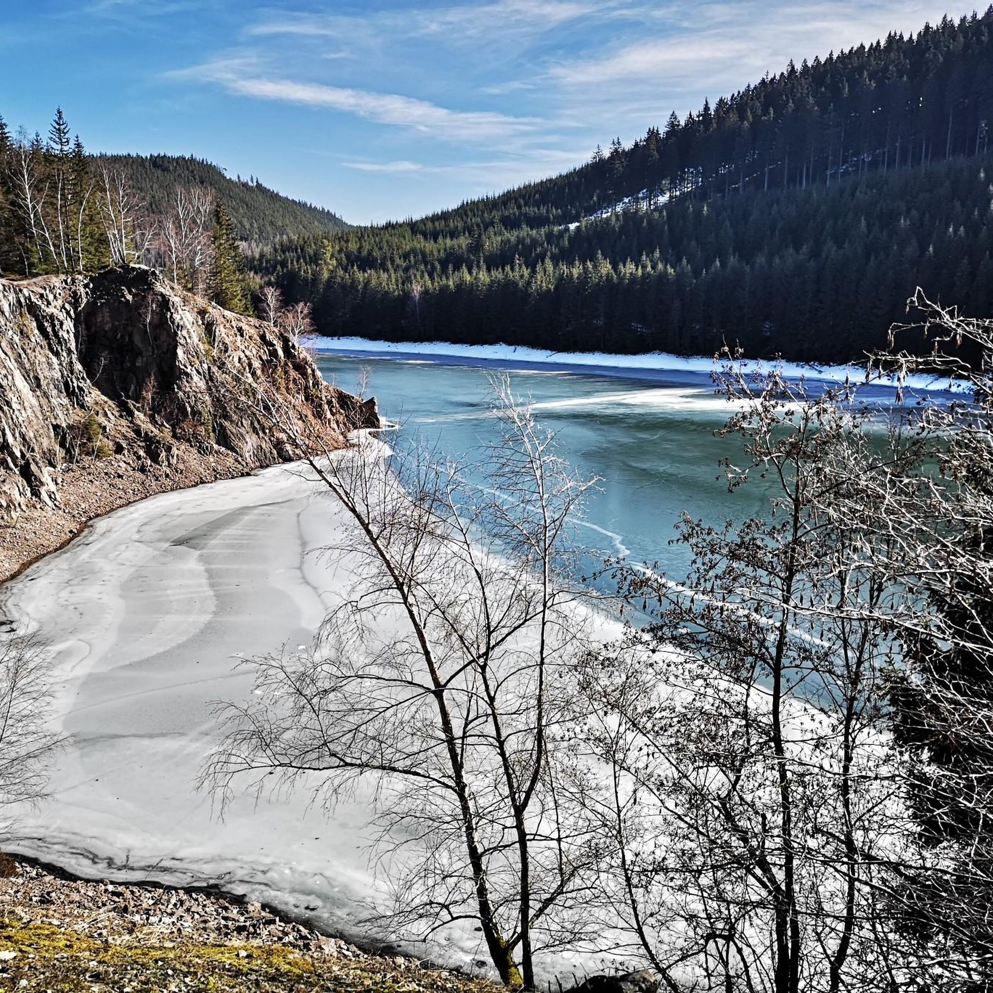
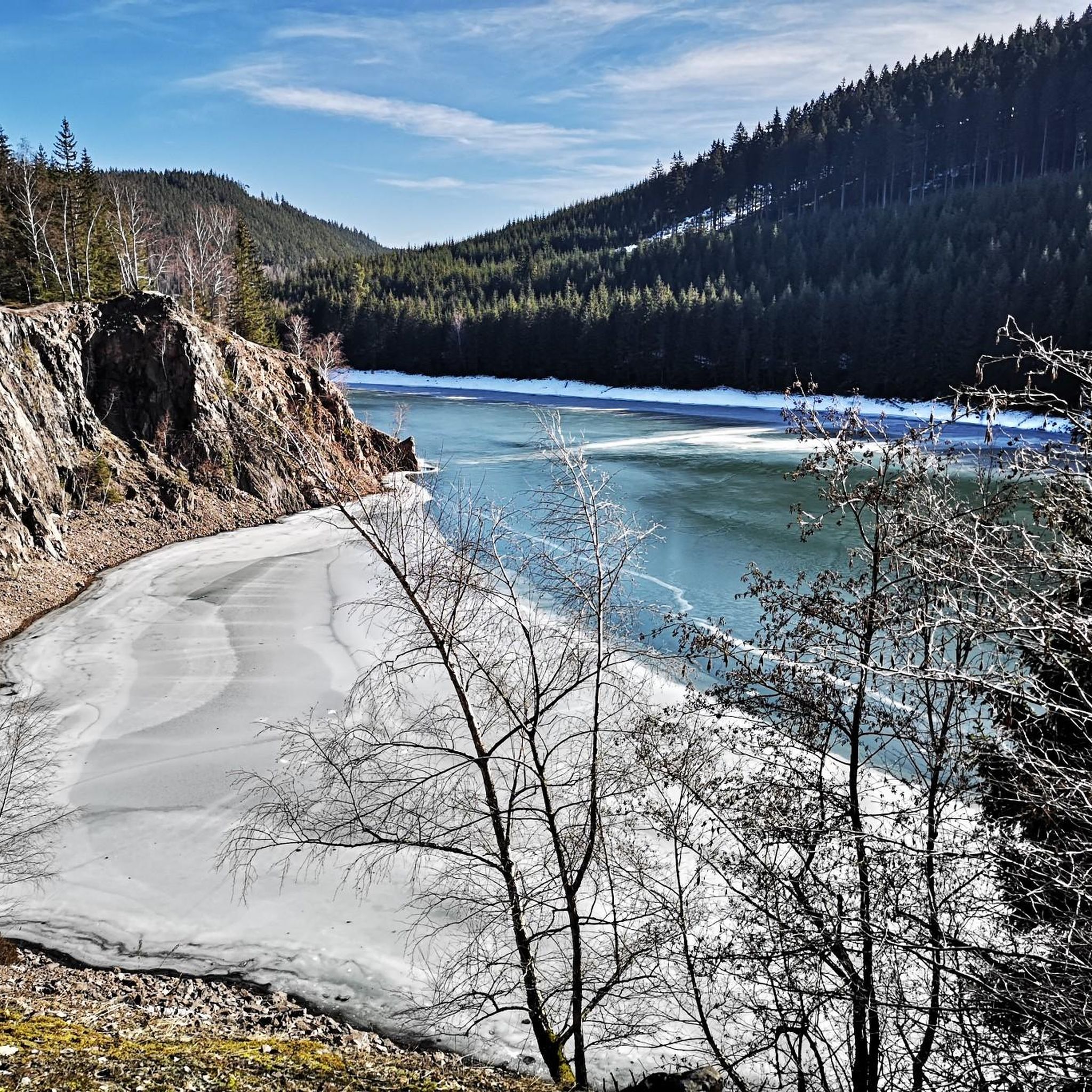
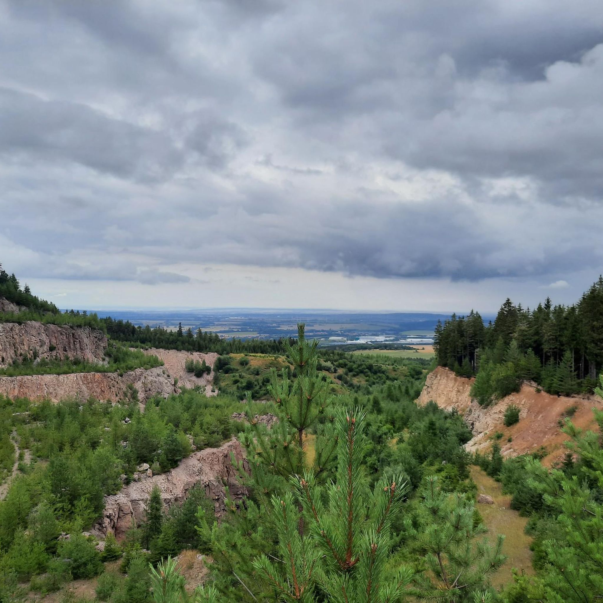


Other adventures around Luisenthal

Tips from the Community

View from Liebenstein Castle...
0
0

Nice climb! Low traffic and good tarmac
0
0

Comfortable pass ride with moderate gradients.
0
0
Comfortable pass ride, the gradient is kept well within limits.
0
0


Beautiful climb in the forest (without ramps), on a side road, to Oberhof.
0
0

Finally, there is a sign again - perfect as a "reminder"
0
0
Frequently Asked Questions
How many road cycling routes are available around Luisenthal?
Luisenthal offers a wide selection of road cycling routes, with over 130 tours available. These routes cater to various skill levels, from easy to difficult, allowing every cyclist to find a suitable challenge.
Are there easy road cycling routes suitable for beginners in Luisenthal?
Yes, Luisenthal provides several easy road cycling routes perfect for beginners or those looking for a more relaxed ride. There are 16 easy routes, often featuring less demanding terrain through the scenic Thuringian Forest.
What kind of challenges can I expect on advanced road cycling routes in Luisenthal?
Advanced road cycling routes in Luisenthal are characterized by significant elevation changes and challenging climbs, navigating the hilly terrain of the Thuringian Forest. For instance, the Rennsteighaus Neue Ausspanne – View of Hoher Stein loop from Oberhof is a difficult route with over 1000 meters of ascent, offering panoramic views from higher elevations.
Are there any circular road cycling routes around Luisenthal?
Many road cycling routes in Luisenthal are designed as loops, allowing you to start and end at the same point. A popular moderate circular route is the Ski lift at Bikepark Oberhof – Oberhof Cycle Path loop from Schützenbergmoor, which covers nearly 61 km through varied forest terrain.
What are some scenic viewpoints or attractions along the road cycling routes?
Road cycling routes in Luisenthal often pass by stunning natural and historical attractions. You can find routes that lead to viewpoints like Plänckner's viewpoint (Großer Beerberg) or historical sites such as Rosenkopf (938 m) – Boundary Stones on the Rennsteig. The region's deep valleys and forested hills provide numerous scenic vistas.
Are there road cycling routes that pass by waterfalls in the Luisenthal area?
Yes, some road cycling routes in the Luisenthal area can bring you close to beautiful waterfalls. The famous Spitterfall, one of Thuringia's highest natural waterfalls, is a notable attraction you might encounter or detour to from nearby routes.
What is the best time of year for road cycling in Luisenthal?
The best time for road cycling in Luisenthal is typically from late spring through early autumn (May to October). During these months, the weather is generally mild, and the roads are clear, allowing for enjoyable rides through the Thuringian Forest's varied landscapes. Winter can bring snow and ice, making road cycling more challenging.
What do other cyclists enjoy most about road cycling in Luisenthal?
The road cycling experience in Luisenthal is highly rated by the komoot community, with an average score of 4.7 stars from over 190 reviews. Cyclists frequently praise the region's diverse terrain, from challenging ascents to scenic descents, and the well-maintained roads that wind through dense woodlands and open sections with beautiful views.
Are there options for longer road cycling tours in Luisenthal?
Absolutely. Luisenthal offers numerous longer road cycling tours for those seeking endurance challenges. Many routes extend beyond 40 kilometers, such as the Kehltal Valley – Valley view from the Schmücke loop from Schützenbergmoor, which is nearly 48.5 km long and takes you through picturesque valleys.
How can I find parking for road cycling routes in Luisenthal?
While specific parking details vary by route, many trailheads and popular starting points in and around Luisenthal, especially near towns like Oberhof or Schützenbergmoor, offer designated parking areas. It's advisable to check the route details on komoot for specific parking recommendations for your chosen tour.
Are there road cycling routes with significant climbs for experienced cyclists?
Yes, Luisenthal is known for its challenging terrain, making it ideal for experienced cyclists looking for significant climbs. Routes like the Rennsteighaus Neue Ausspanne – View of Hoher Stein loop from Oberhof feature over 1000 meters of ascent, providing a demanding workout amidst the Thuringian Forest's hills.
What are the typical road conditions like for cycling in Luisenthal?
The road cycling routes around Luisenthal generally follow well-maintained roads. You can expect a mix of paved surfaces suitable for road bikes, navigating through forested areas and open sections. However, as with any region, conditions can vary, so always be prepared for changing surfaces.
Most popular routes around Luisenthal
Most popular attractions around Luisenthal

Get inspired with the komoot mobile app


Explore more
Browse the best Road cycling routes in other regions.
