The best gravel rides around Luisenthal
4.4
(48)
271
riders
48
rides
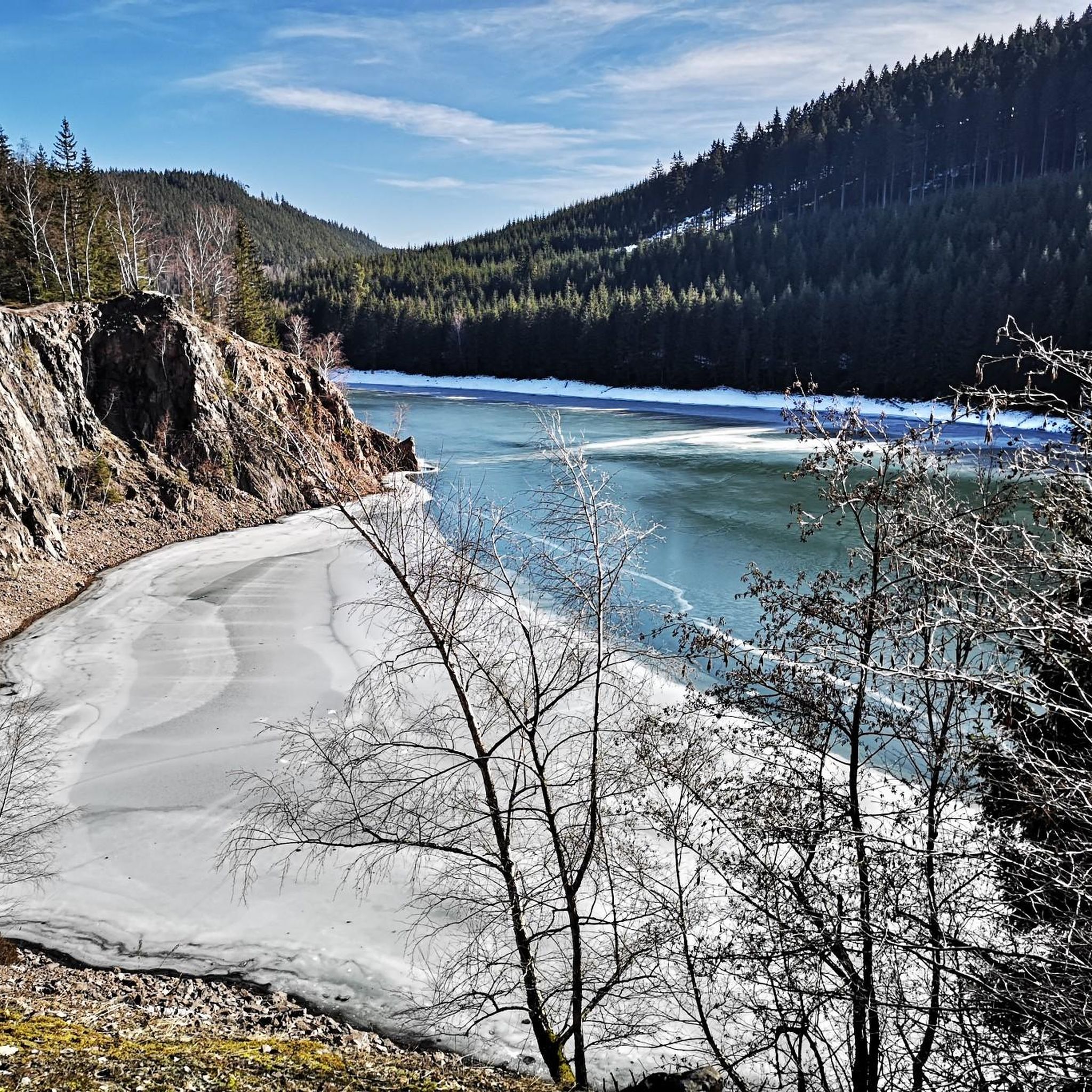
Gravel biking around Luisenthal is characterized by its location within the Thuringian Forest, offering diverse terrain across wooded hills and valleys. The region features the Ohra valley, surrounded by hills such as Kienberg (723m) and Steinigenberg (596m). A central feature is the Ohratalsperre, a large drinking water reservoir with a perimeter path suitable for cycling. The area also provides access to sections of the Rennsteig, a historic ridgeway trail.
Best gravel bike trails around Luisenthal
- The most popular gravel bike…
Last updated: October 6, 2026
4.9
(7)
43
riders
38.8km
02:44
850m
850m
Hard gravel ride. Very good fitness required. Mostly paved surfaces. Suitable for all skill levels.
3.0
(2)
25
riders
Moderate gravel ride. Good fitness required. Mostly paved surfaces. Suitable for all skill levels.

4.7
(3)
20
riders
35.9km
02:34
730m
730m
Hard gravel ride. Very good fitness required. Mostly paved surfaces. Suitable for all skill levels.
3.5
(2)
10
riders
11.3km
00:48
160m
160m
Moderate gravel ride. Good fitness required. Mostly paved surfaces. Suitable for all skill levels.
5.0
(8)
34
riders
20.5km
01:25
440m
440m
Moderate gravel ride. Good fitness required. Mostly paved surfaces. Suitable for all skill levels.
Get access to more routes and recommendations from other explorers.
Already have an account?
Our route recommendations are based on thousands of hikes, rides, and runs completed by other people on komoot.
Start today with a free account
Your next adventure awaits.
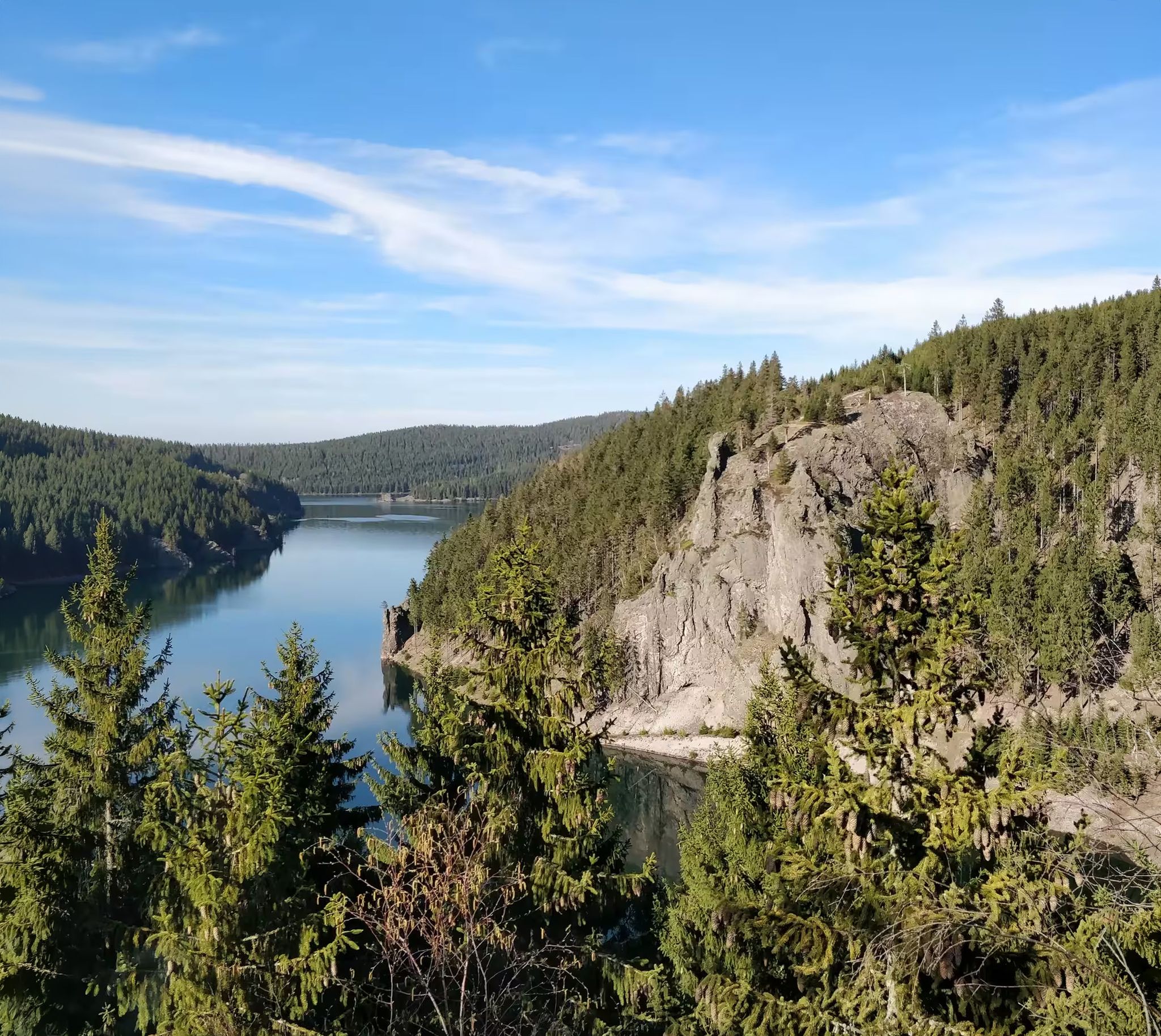
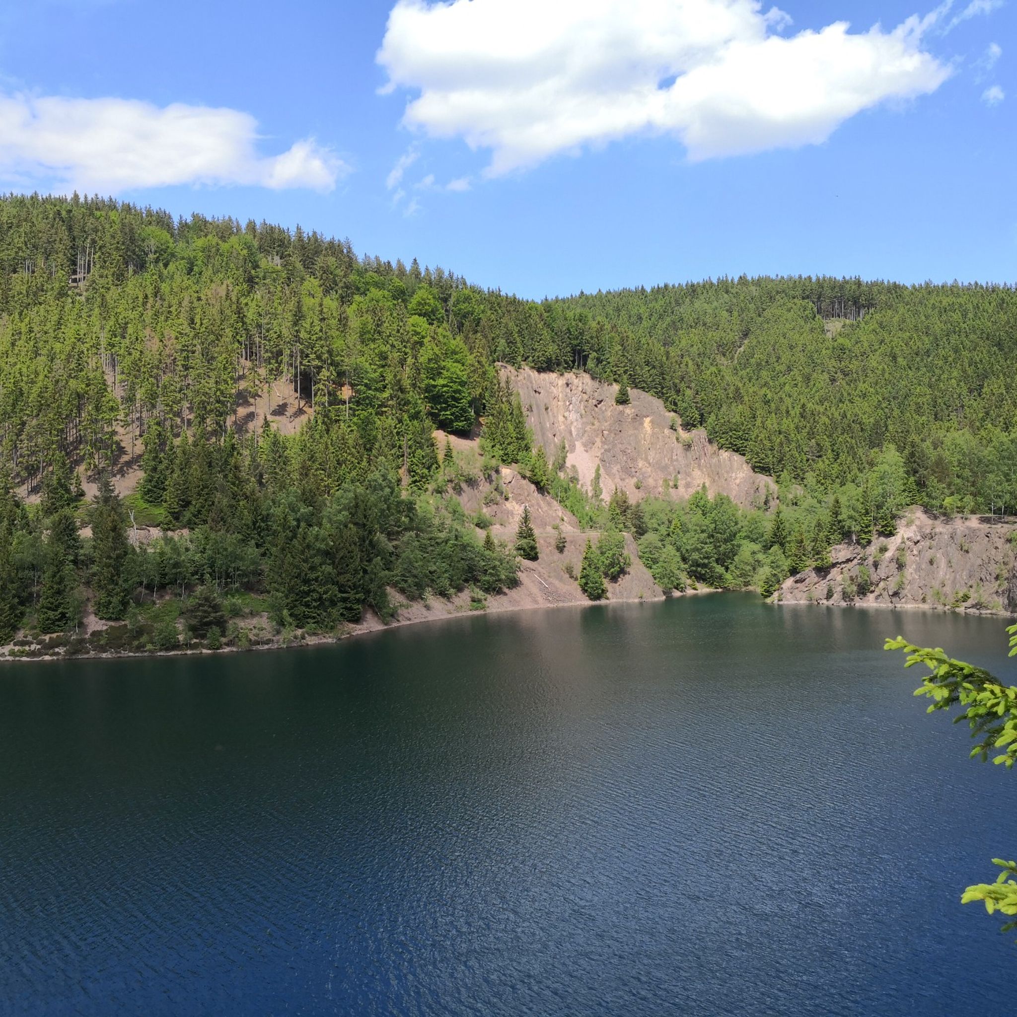
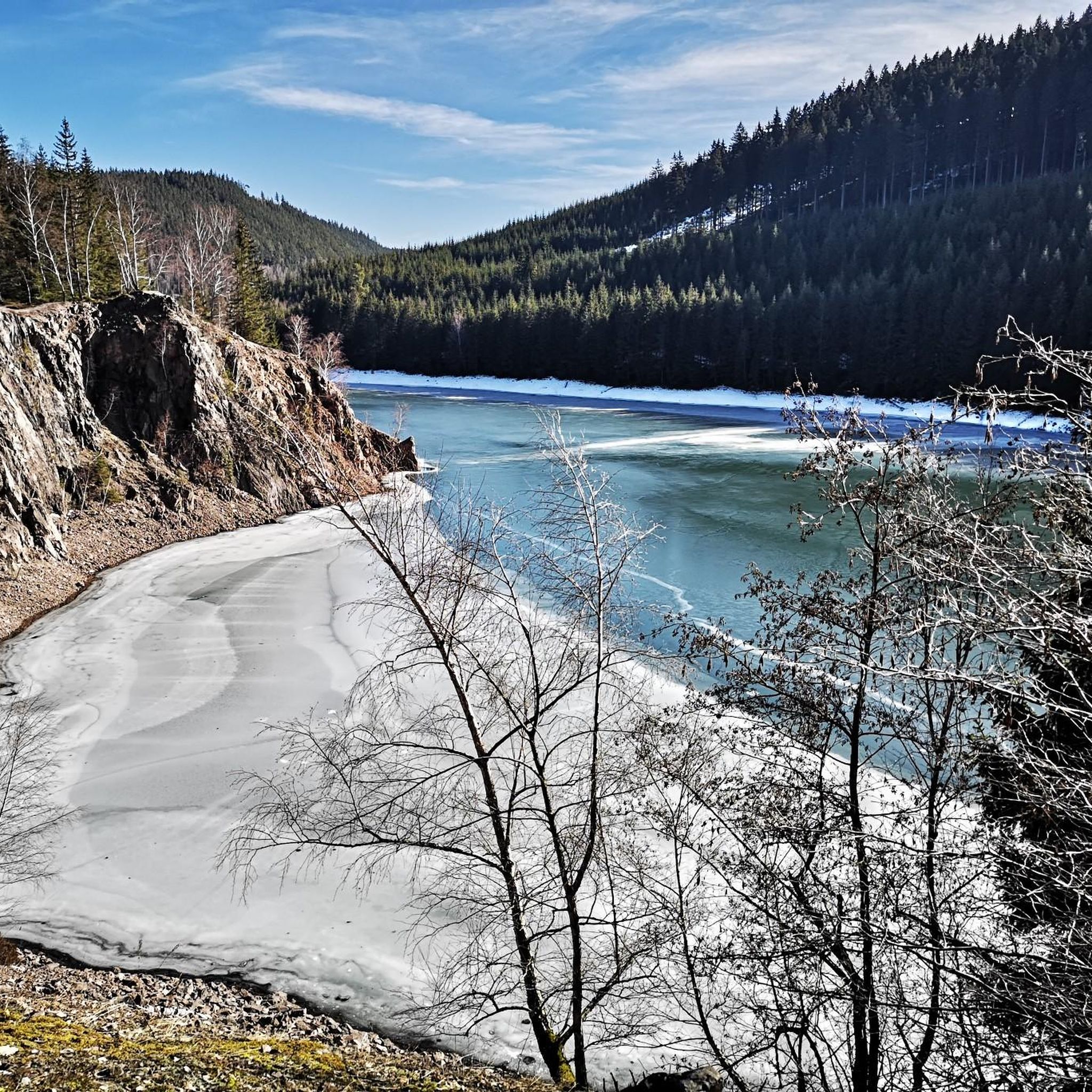
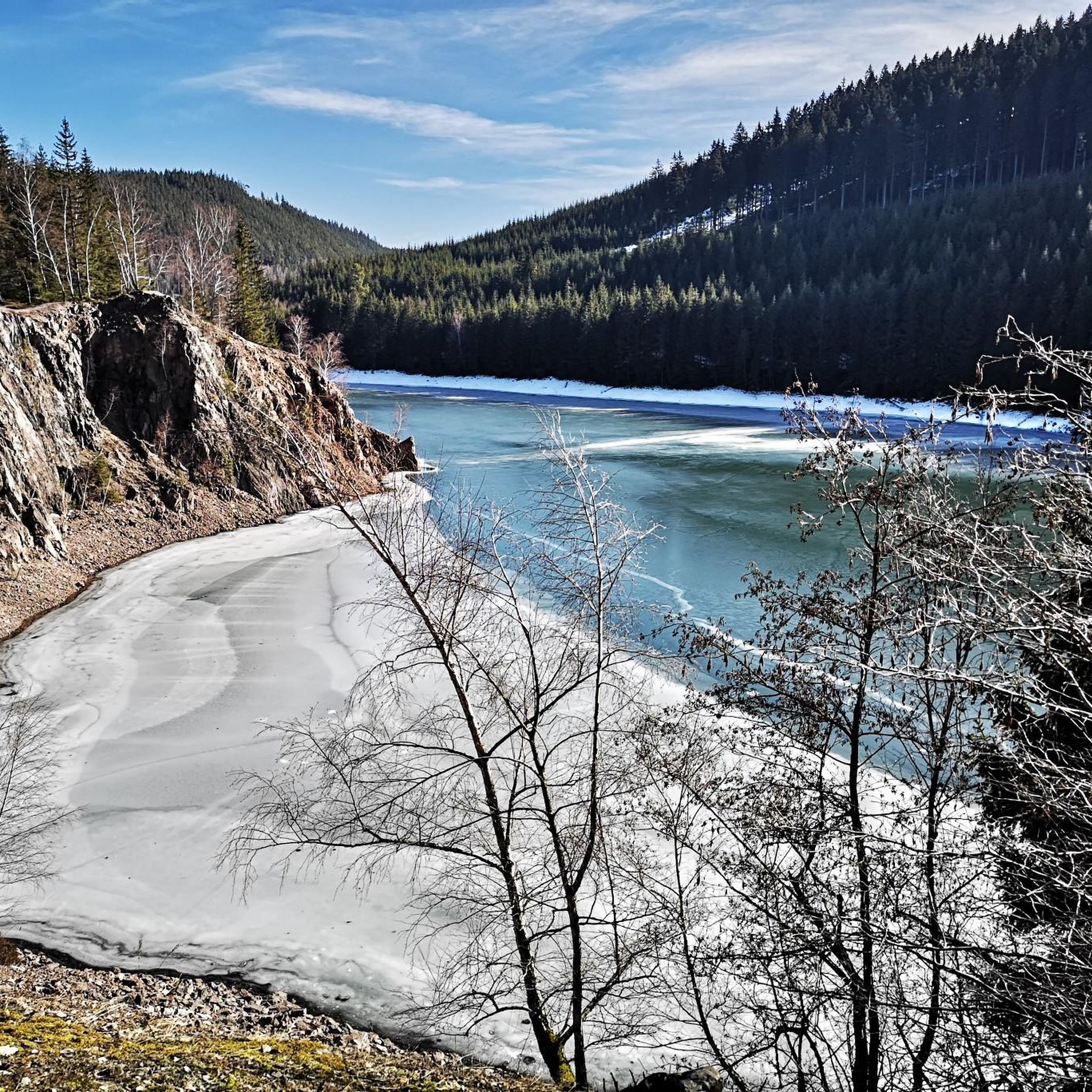

Other adventures around Luisenthal

Tips from the Community

Particularly scenic at sunset.
1
0

It's a great place for hiking.
0
0
These markings make hiking easier.
1
0
It's a great place for hiking.
0
0

Great view of the dam! The circular trail is highly recommended and easy to do by bike 👍
1
0


Mountain hut, very rustic and delicious. Always worth a stop!
0
0

Mountain lodge at the Veilchenbrunnen
0
0
Frequently Asked Questions
How many gravel bike trails are available around Luisenthal?
Luisenthal, situated in the Thuringian Forest, offers a wide network of gravel biking opportunities. There are over 50 gravel bike trails available, catering to various skill levels, from moderate to difficult rides.
What kind of terrain can I expect on gravel bike trails in Luisenthal?
The terrain around Luisenthal is diverse, characterized by wooded hills and valleys within the Thuringian Forest. You'll encounter dense, dark woods, ancient high forest stands, and untouched forest meadows. Routes often feature rocky, shaded mountain gorges and paths leading to numerous viewpoints, offering sweeping vistas of the Thuringian landscape.
Are there any easy or beginner-friendly gravel bike routes in Luisenthal?
While many routes in Luisenthal are rated moderate to difficult, the area around the Ohratalsperre (Ohra Dam) offers a 14.5 km paved and barrier-free path that is ideal for more relaxed gravel biking. This path provides continuous, beautiful views of the reservoir and surrounding forests, making it suitable for those looking for an easier ride.
Can I find challenging gravel bike trails around Luisenthal?
Yes, Luisenthal offers plenty of challenging gravel bike trails. For instance, the Highest Point of the Rennsteig – Plänckner's Viewpoint loop from Oberhof is a difficult 60.8 km trail that takes about 5 hours 10 minutes to complete, leading through demanding sections of the Thuringian Forest. Another challenging option is the Ohra Dam – Ohra Reservoir loop from Oberhof, a 35.9 km difficult route with significant elevation changes.
Are there any circular gravel bike routes in the area?
Many of the gravel bike routes around Luisenthal are designed as loops, allowing you to start and end at the same point. A popular moderate loop is the Wachsenrasen Stone Shelter – Gustav-Freytag-Stein Shelter loop from Schützenbergmoor, which is 16.8 km long and navigates through forested areas between historical shelters.
What are some notable natural features or landmarks I can see while gravel biking?
While gravel biking around Luisenthal, you can explore several natural features and landmarks. The Plänckner's viewpoint (Großer Beerberg) offers impressive panoramas. You might also encounter the Schneekopf Summit and Observation Tower or the Highest Point of the Rennsteig. The area also features unique geological formations like the Burnt Stone Tunnel.
Is Luisenthal a good destination for family-friendly gravel biking?
Luisenthal can be suitable for family-friendly gravel biking, especially around the Ohratalsperre. The 14.5 km paved path around the dam is barrier-free and offers a safe, scenic environment for families. For more adventurous families, some of the moderate routes might also be suitable, depending on the children's experience and fitness levels.
What is the best time of year to go gravel biking in Luisenthal?
The Thuringian Forest, where Luisenthal is located, is beautiful throughout the warmer months. Spring offers lush greenery, while autumn provides stunning foliage. Summer is also excellent, though some paths might be busier. Winter conditions can make gravel biking challenging due to snow and ice, so it's generally best to visit from late spring to early autumn.
Are there options for parking or public transport access to the trails?
Luisenthal is well-integrated into the Thuringian Forest's outdoor network. While specific parking locations for each trailhead are best checked on individual route pages, the village itself serves as a good starting point. For public transport, information can often be found on local tourism websites, though direct access to all trailheads might require some planning.
What do other gravel bikers say about their experience in Luisenthal?
The gravel biking experience in Luisenthal is highly rated by the komoot community, with an average score of 4.6 stars from over 90 reviews. Many visitors praise the diverse terrain, the scenic beauty of the Thuringian Forest, and the well-maintained paths, particularly around the Ohratalsperre. Over 400 gravel bikers have used komoot to explore the area's varied routes.
Are there any routes that feature the Ohratalsperre (Ohra Dam)?
Yes, the Ohratalsperre is a central feature for gravel biking in Luisenthal. The Ohra Reservoir – Lütsche Reservoir loop from Oberhof is a popular 38.8 km trail that offers views of both the Ohra and Lütsche reservoirs. The dam itself has a 14.5 km paved path around it, perfect for continuous scenic views.
Can I access the Rennsteig trail from Luisenthal on a gravel bike?
Yes, the renowned Rennsteig, Germany's longest hiking trail, passes near Luisenthal. Specific sections, such as the 'Rennsteig-Leiter Luisenthal,' provide direct access from the village to this historic ridgeway trail. While primarily a hiking trail, certain sections are suitable for gravel biking and offer fantastic views as it traverses the mountainous region.
What are the typical lengths of gravel bike trails near Luisenthal?
Gravel bike trails near Luisenthal vary significantly in length. You can find shorter, moderate routes like the Lütsche Reservoir – Ohra Reservoir loop from Talsperre Lütsche, which is about 20.5 km. Longer and more challenging routes, such as the Highest Point of the Rennsteig – Plänckner's Viewpoint loop from Oberhof, can extend over 60 km.
Most popular routes around Luisenthal
Most popular attractions around Luisenthal

Get inspired with the komoot mobile app


Explore more
Browse the best Gravel rides in other regions.
