The best hikes from bus stations in the Kyushu Mountains
4.6
(287)
1,940
hikers
14
hikes
Bus station hiking trails in the Kyushu Mountains offer access to a diverse landscape shaped by volcanic activity, dense forests, and high-altitude plateaus. The region is characterized by its numerous volcanoes, vast calderas, and unique geological formations, providing varied terrain for hikers. Trails often traverse areas with sulfur-billowing peaks, solidified lava fields, and lush, ancient forests. This makes the Kyushu Mountains a destination for outdoor enthusiasts seeking trails with significant geological interest and natural beauty.
Best bus station hiking trails…
Last updated: June 28, 2026
4.7
(38)
226
hikers
Hard hike. Very good fitness required. Sure-footedness, sturdy shoes and alpine experience required.
4.5
(12)
117
hikers
9.63km
03:09
430m
430m
Moderate hike. Good fitness required. Easily-accessible paths. Suitable for all skill levels.

Sign up for free
4.3
(10)
47
hikers
9.41km
03:05
390m
390m
Moderate hike. Good fitness required. Easily-accessible paths. Suitable for all skill levels.
4.2
(13)
62
hikers
Moderate hike. Good fitness required. Easily-accessible paths. Suitable for all skill levels.
4.9
(10)
78
hikers
4.11km
01:21
180m
180m
Easy hike. Great for any fitness level. Easily-accessible paths. Suitable for all skill levels.
Get access to more routes and recommendations from other explorers.
Sign up for free
Already have an account?
Our route recommendations are based on thousands of hikes, rides, and runs completed by other people on komoot.
Start today with a free account
Your next adventure awaits.
Login or Signup
Popular around Kyushu Mountains
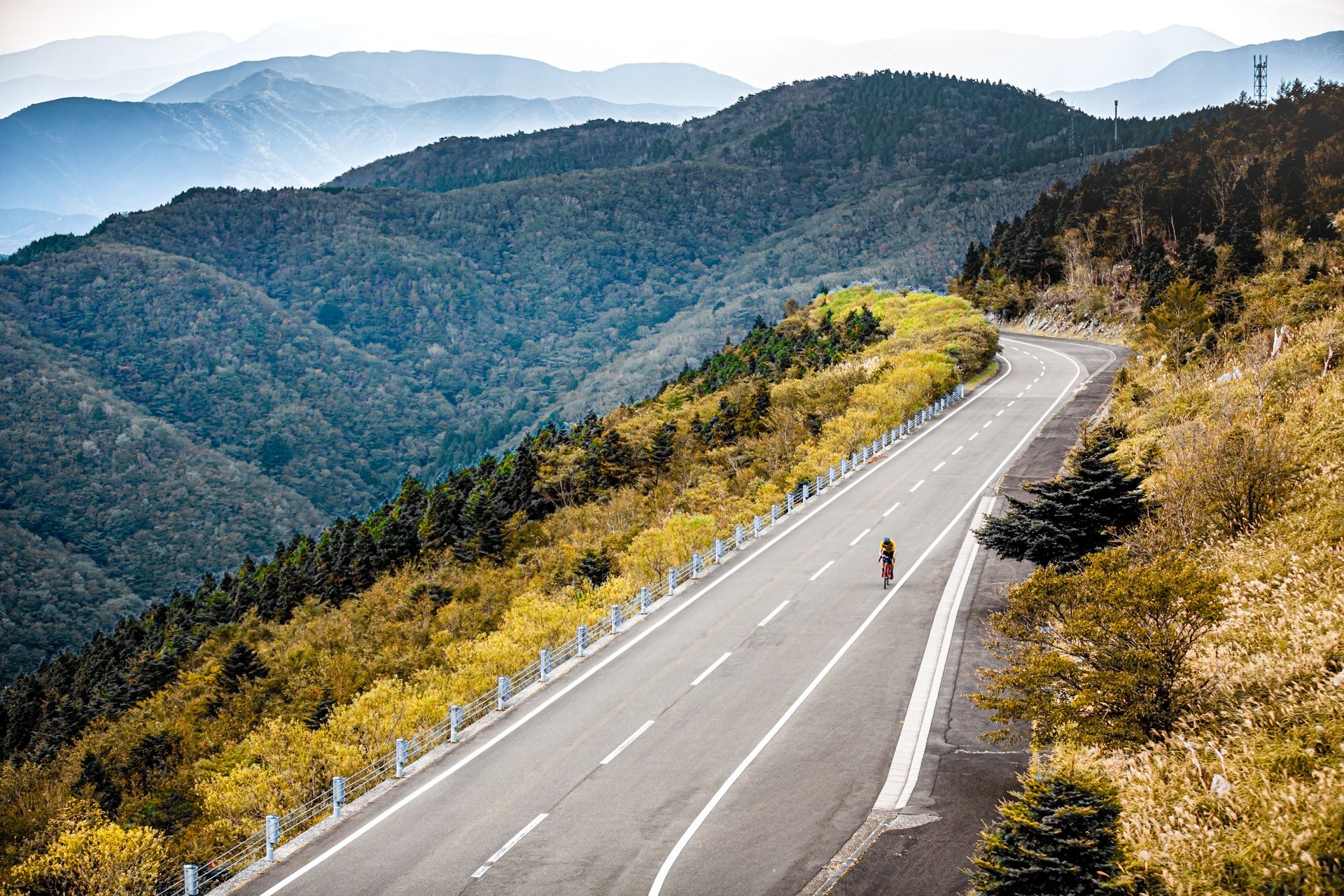
Other adventures in the Kyushu Mountains

Tips from the Community

The biggest climb on Sakurajima, well worth it for the challenge and view.
0
0

The circular hiking trail is closed after this highlight. Therefore, turn back!
0
0

About 30 minutes past Nakadake, the trail is closed (as of May 2025). A circular hike is not possible.
0
0
About 30 minutes past Nakadake, the trail is closed (as of May 2025). A circular hike is not possible.
1
0
About 30 minutes past Nakadake, the trail is closed (as of May 2025). A circular hike is not possible. Sulfur gases pose a life-threatening risk!
4
0

very steep climb, good hiking shoes needed
0
0

Viewing spot of Sakura-jima (Yunohira)
0
0

Look at the website to see current threat level
0
0
Frequently Asked Questions
How many bus station hiking trails are available in the Kyushu Mountains?
There are currently 13 curated hiking routes in the Kyushu Mountains that are easily accessible from bus stations. These trails offer a range of difficulties, from easy strolls to more challenging ascents, ensuring there's something for every hiker.
What kind of landscapes can I expect on bus-accessible hikes in the Kyushu Mountains?
The Kyushu Mountains, often called the 'Land of Fire,' boast dramatic volcanic terrain, vast calderas, and lush forests. You'll encounter everything from sulfur-billowing peaks and solidified lava fields around Mount Aso to rolling grasslands in the Kuju Mountain Range and ancient cedar forests on Yakushima Island. Many trails offer expansive views of these unique geological features.
Are there any easy bus-accessible hikes suitable for beginners or families?
Yes, there are several easy options. For a gentle introduction to the volcanic landscape, consider the Eboshidake Summit loop from Aso Volcano Museum. This route is relatively short and offers beautiful views without significant elevation gain, making it ideal for families or those new to hiking.
What are some of the most scenic points of interest along these bus station trails?
Many trails offer stunning natural attractions. Near Mount Aso, you can experience the dramatic Nakadake Crater (when safe) or the unique Suna Senri Black Sand Desert. In the Kirishima area, the Summit of Mount Karakuni provides panoramic views of crater lakes. For coastal views, consider trails around Mount Kaimon, known as 'Satsuma Fuji'.
Are there any circular hiking routes accessible by bus in the Kyushu Mountains?
Yes, many of the bus-accessible trails are designed as circular routes, allowing you to start and end at the same bus stop. An excellent example is the Mount Kuju (Kujū-san) loop from Makinoto Pass, which takes you through diverse highland landscapes and offers stunning vistas.
What is the best season for hiking in the Kyushu Mountains, especially from bus stations?
The Kyushu Mountains are beautiful year-round, but spring (late April to early June) and autumn (October to November) are particularly popular. Spring brings vibrant Miyamakirishima (Kyushu Azaleas) blooms, especially in the Kuju Mountain Range, while autumn offers spectacular foliage. The mild climate generally makes hiking pleasant during these seasons.
Can I find challenging hikes accessible by public transport in the Kyushu Mountains?
Absolutely. For experienced hikers seeking a challenge, the Wooden Boardwalk at Mount Aso – Suna Senri Black Sand Desert loop from Mount Aso is a difficult route that explores the rugged volcanic landscape. Another challenging option is the Kirishima Ridge Trail, which connects several peaks and offers strenuous climbs with rewarding views.
What do other hikers enjoy most about the bus-accessible trails in the Kyushu Mountains?
The komoot community highly rates these trails, with an average score of 4.6 out of 5 stars from over 200 ratings. Reviewers often praise the stunning volcanic scenery, the well-maintained paths, and the convenience of accessing such dramatic landscapes directly from public transport. The diversity of trails, from easy walks to challenging ascents, is also frequently highlighted.
Are there any waterfalls or hot springs near the bus-accessible hiking trails?
Being a volcanic region, Kyushu is rich in both. While specific waterfalls might require a short detour from the immediate bus stop, areas like Takachiho Gorge (though not directly bus-accessible for hiking trails in this guide) are famous for falls like Manai Falls. Hot springs (onsen) are abundant throughout the region, especially around Aso and Kirishima, providing a perfect way to relax after a hike. Many towns with bus stations will have nearby onsen facilities.
Are there any specific bus routes or stations that serve as good starting points for multiple hikes?
Key areas like the Aso Volcano Museum bus stop provide access to multiple trails, including the Mount Kijimadake Summit – Eboshidake Summit loop. Makinoto Pass is another excellent hub for exploring the Kuju Mountain Range. These central points often have visitor information and facilities, making them convenient bases for your hiking adventures.
What should I pack for a bus station hike in the Kyushu Mountains?
Given the varied terrain and potential for changing weather, it's advisable to pack layers, sturdy hiking shoes, sufficient water, snacks, and sun protection. For volcanic areas, a mask might be useful if sulfur fumes are present. Always check local weather forecasts and volcanic activity warnings before heading out. A portable charger for your phone and navigation device is also recommended.
Most popular routes in the Kyushu Mountains
Most popular attractions in the Kyushu Mountains

Get inspired with the komoot mobile app


Explore more
Browse the best Hikes in other regions.
