The best hikes from bus stations in the Cantabrian Mountains
4.5
(17946)
115,919
hikers
564
hikes
Bus station hiking trails in the Cantabrian Mountains traverse a diverse landscape characterized by towering limestone peaks, deep gorges, and lush forests. This mountain range, often called "Green Spain," features a mix of rugged high-mountain terrain and extensive beech and oak woodlands at lower altitudes. Glacial lakes and dramatic river valleys are common natural features throughout the region. The area offers a wide array of trails, from gentle valley walks to challenging high-mountain expeditions.
Best bus station hiking trails in…
Last updated: July 10, 2026
4.9
(821)
5,038
hikers
23.1km
07:28
990m
990m
Hard hike. Very good fitness required. Easily-accessible paths. Suitable for all skill levels.
4.3
(82)
293
hikers
8.89km
02:44
320m
320m
Moderate hike. Good fitness required. Easily-accessible paths. Suitable for all skill levels.

Sign up for free
4.9
(22)
158
hikers
14.6km
06:15
1,060m
1,060m
Hard hike. Very good fitness required. Sure-footedness, sturdy shoes and alpine experience required.
4.1
(16)
66
hikers
11.1km
04:26
830m
830m
Moderate hike. Good fitness required. Mostly accessible paths. Sure-footedness required.
4.6
(14)
128
hikers
4.43km
01:18
130m
130m
Easy hike. Great for any fitness level. Easily-accessible paths. Suitable for all skill levels.
Get access to more routes and recommendations from other explorers.
Sign up for free
Already have an account?
Our route recommendations are based on thousands of hikes, rides, and runs completed by other people on komoot.
Start today with a free account
Your next adventure awaits.
Login or Signup
Popular around Cantabrian Mountains
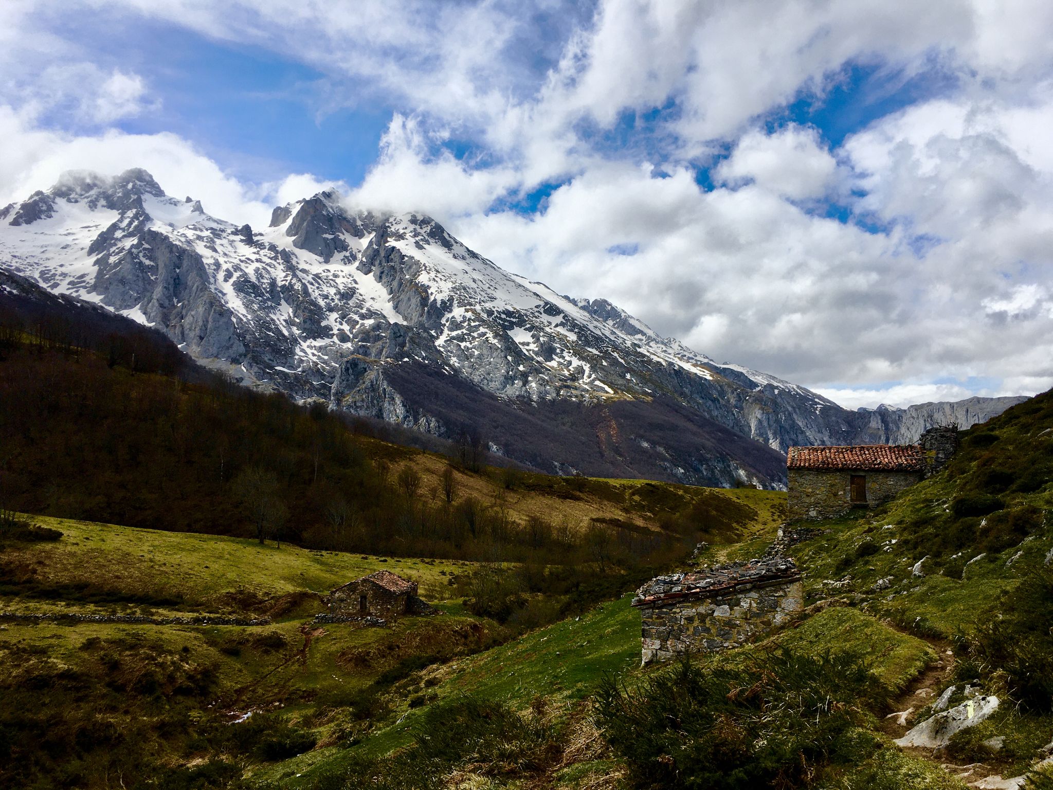
Route of the Reconquest (GR 202) – In the footsteps of an army
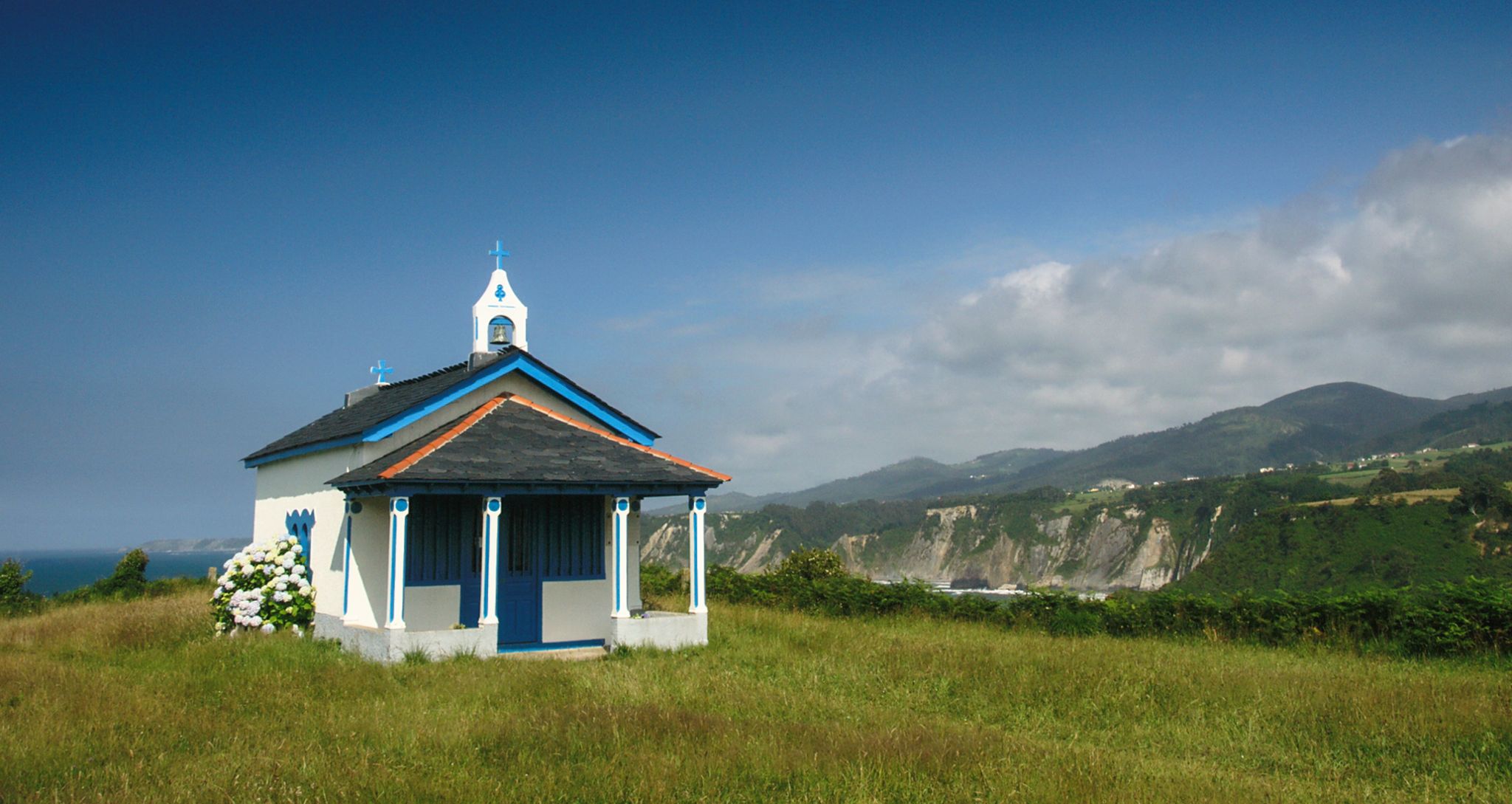
Camino del Norte – 15 stages
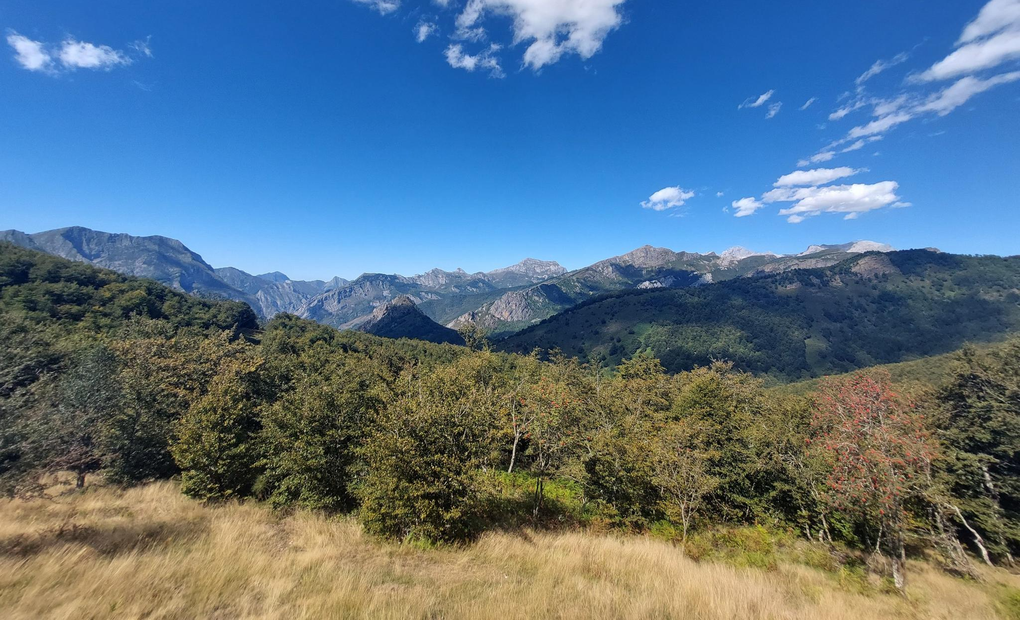
Senda del Arcediano (GR 210) - A historical hike through the Picos del Picos
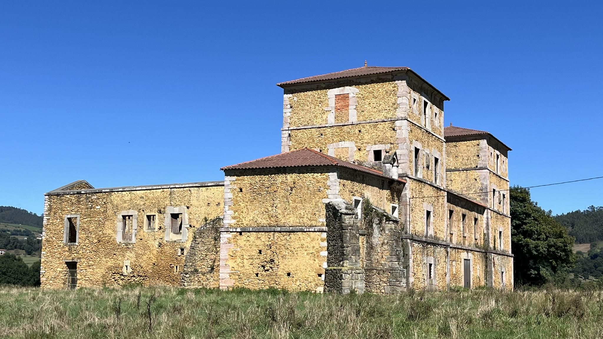
Route of the Palaces — GR 200
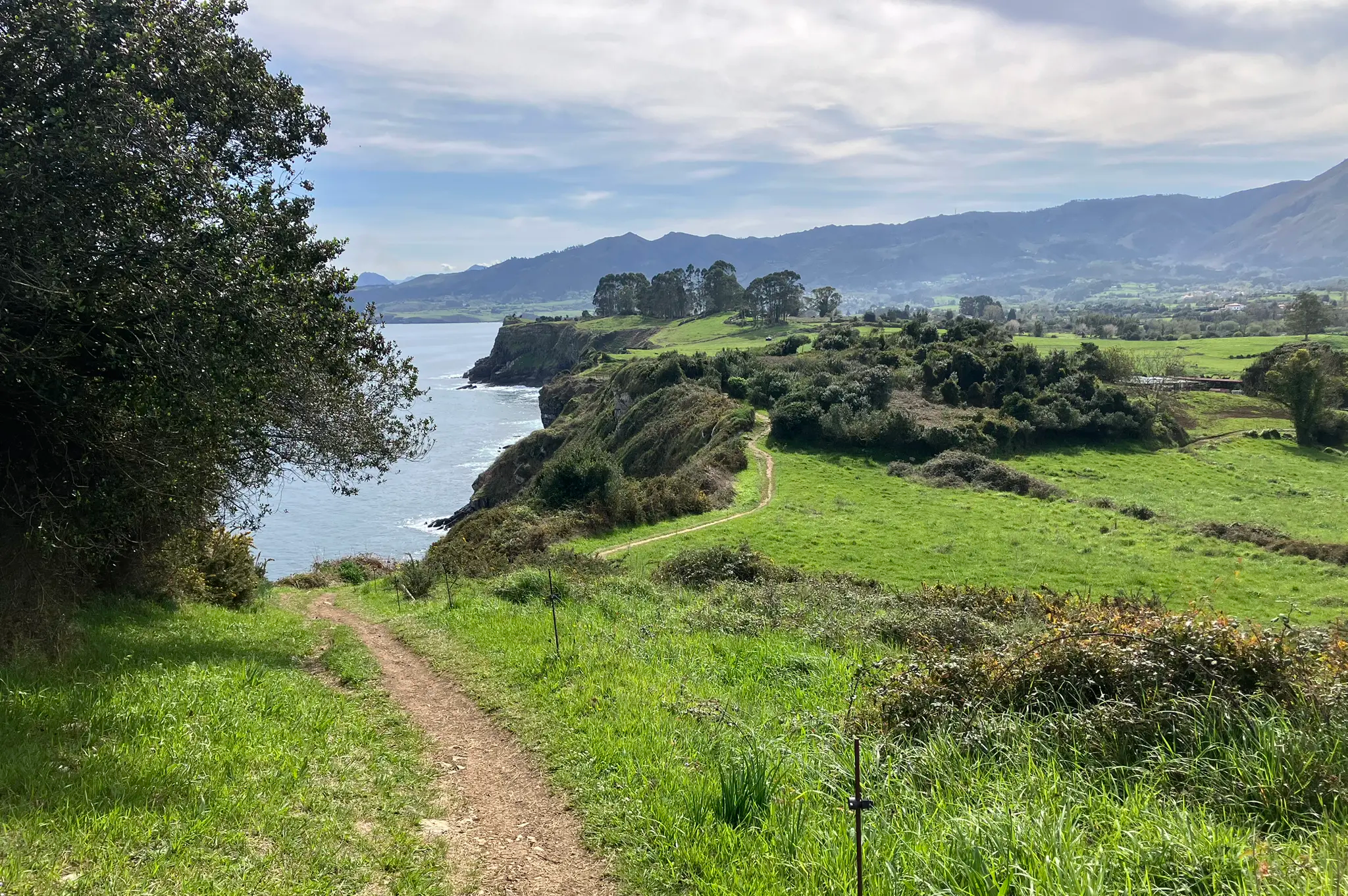
Green, Blue and Gold - Coastal Path through Asturias (GR 204)
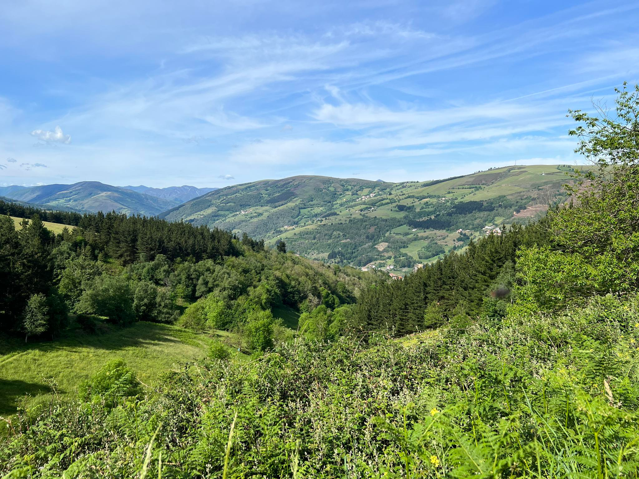
Wild Asturias - Where the bear walks (GR 203)
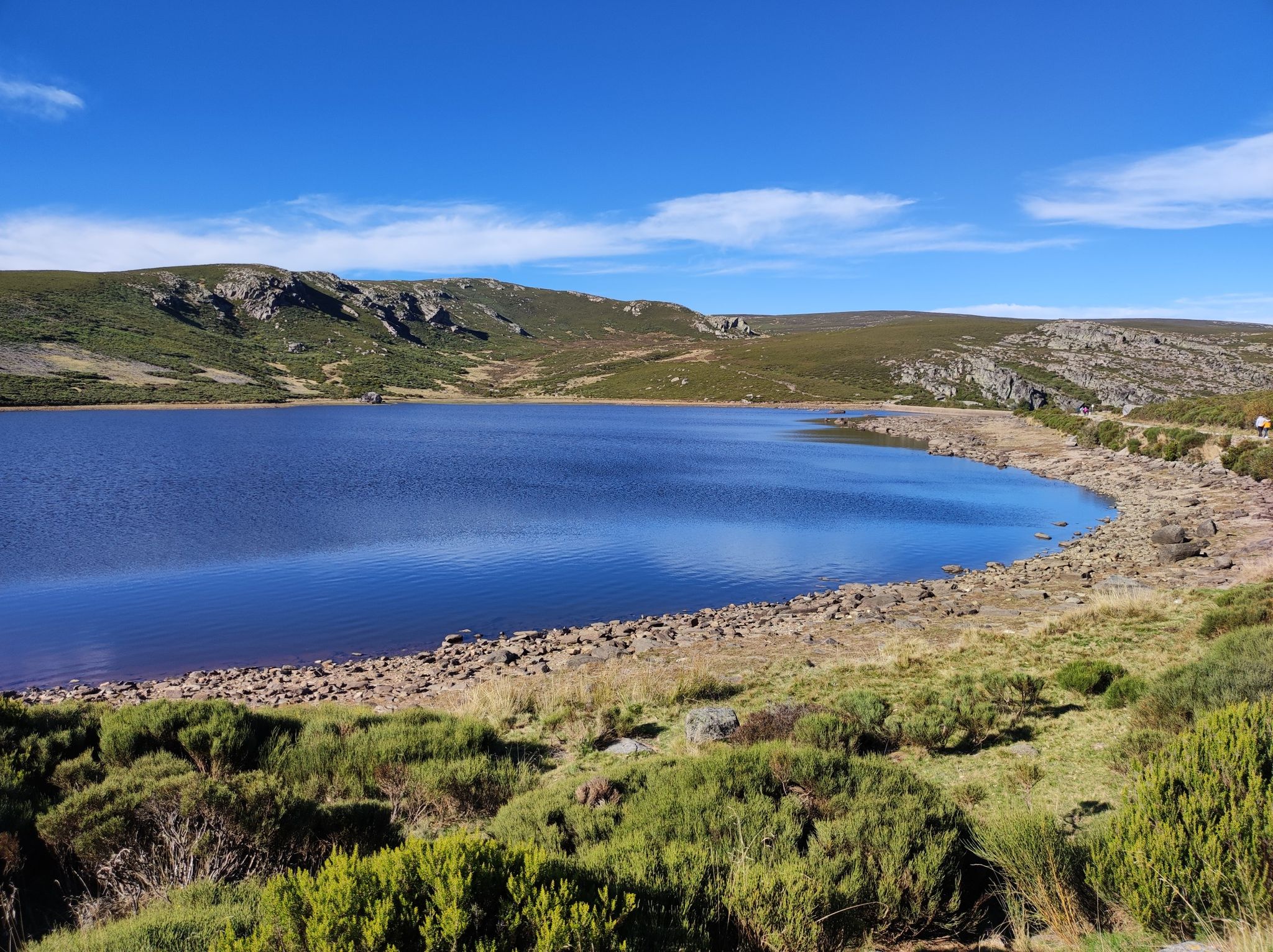
Glacial lagoons and eternal mountains – Montaña de Sanabria (GR 84)
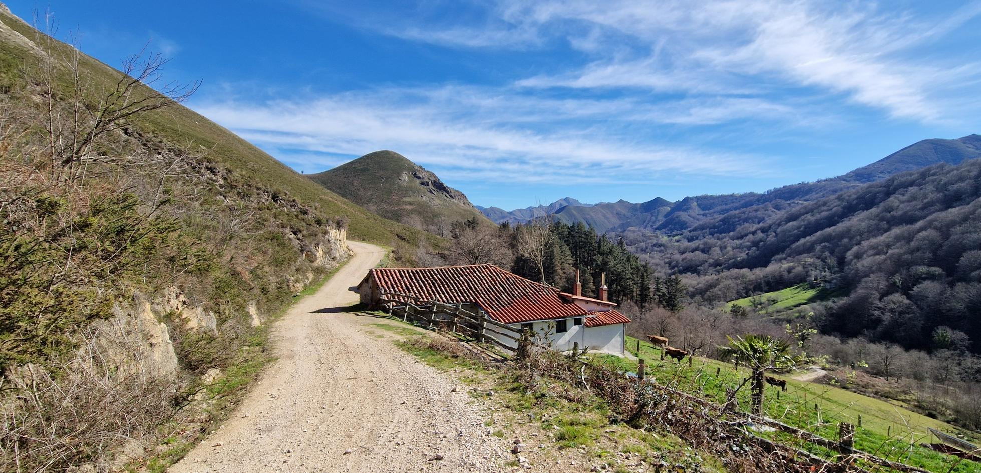
Unknown Paths of Asturias — GR Pilgrimage Route (105)

12 hiking gems throughout Spain
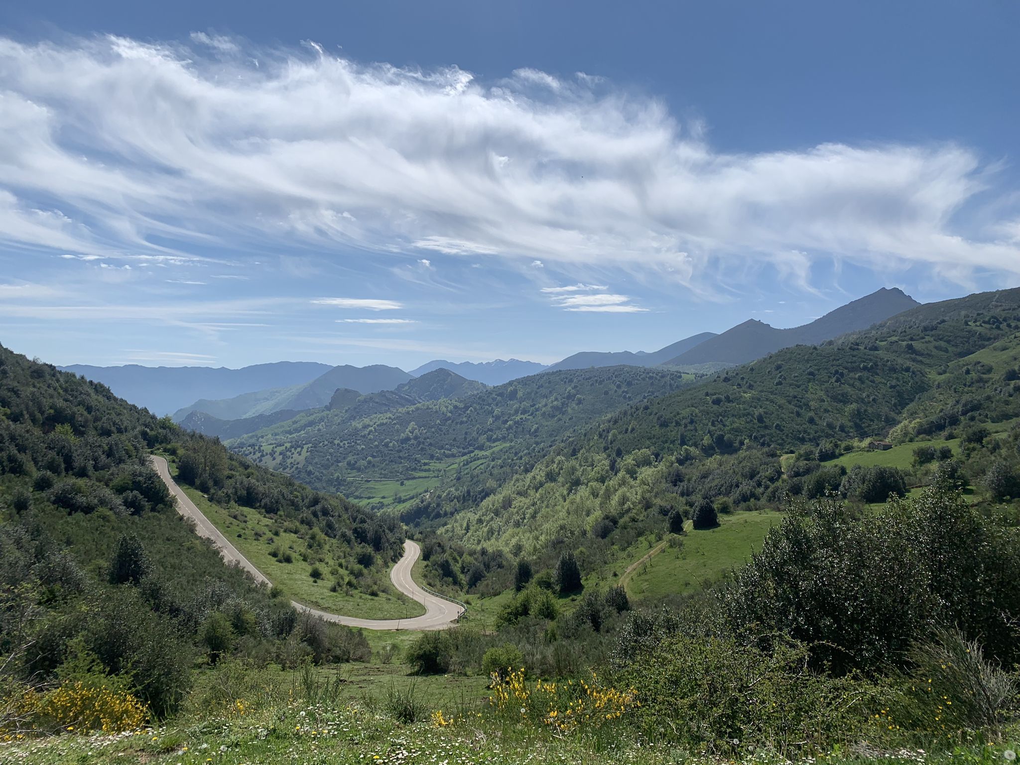
Along a Roman road to Asturias in Spain – Camino Real de la Mesa (GR 101)
Other adventures in the Cantabrian Mountains


Tips from the Community

The Bolín Bridge, in Posada de Valdeón (León), is a small but significant mountain bridge that is part of several hiking trails in the Picos de Europa, especially as an access route to the challenging Canal de Trea. It is located on the outskirts of Posada de Valdeón, towards the Mirador del Tombo and the beginning of the Canal de Trea. It is close to Fuente Prieta and areas such as El Agua Las Huertas, in a natural setting of great beauty.
3
0

In front of this summit cross crowning the heights of La Viorna, the following thoughts from Pope Francis – who died on Easter Monday this year – may be helpful to those who linger on the summit after the climb: "In the Resurrection of Christ, each of our destinies finds its place in the infinite horizon of eternity. Only from his death and resurrection does the certainty arise that nothing will be able to separate us from the love of God [as the Apostle Paul writes in his Letter to the Romans, chapter 8]. From this great hope comes every other glimmer of light with which we can overcome life's trials and obstacles. And not only that: the Risen One also walks with us and becomes our companion, as with the disciples on the road to Emmaus."
0
0

Here, too, you can experience nature in a truly impressive way.
2
1
One of many impressive rock formations.
1
1

Some tunnels are relatively long, dark, and uneven. A headlamp can be helpful here. You can take a Jeep ride back through the park from Cain with a national park ranger. Very informative. Advance reservations are required.
1
0

Cross of Viorna. From the summit, situated at an altitude of 1,151 metres, you can see the eastern massif of the Picos de Europa, the villages of Mieses, Argüébanes, San Pelayo, Brez; some houses in Tanarrio, Mogrovejo and, travelling along the summit, you can also see the monastery of Santo Toribio de Liébana, the roofs of Congarna, Beares, Redo and Bodia, in the municipality of Camaleño.
1
0
Frequently Asked Questions
How many hiking trails are accessible from bus stations in the Cantabrian Mountains?
There are over 570 hiking trails in the Cantabrian Mountains that are accessible from bus stations. This includes a wide range of difficulties, with nearly 200 easy routes, almost 300 moderate routes, and over 80 difficult trails for experienced hikers.
Are there easy hiking trails accessible by bus in the Cantabrian Mountains?
Yes, the Cantabrian Mountains offer a good selection of easy hiking trails accessible by bus. You'll find nearly 200 easy routes, perfect for a relaxed stroll or a family outing. An example is the Arroyo de la Llana River Trail, which is an easy 4.4 km hike.
Can I find circular hiking routes that start and end at bus stops?
Absolutely. Many bus-accessible trails in the Cantabrian Mountains are designed as circular routes, allowing you to return to your starting point without needing additional transport. For example, the Arenas de Cabrales to Poo de Cabrales — circular route offers a moderate 8.8 km loop.
What kind of landscapes can I expect on bus-accessible trails in the Cantabrian Mountains?
The Cantabrian Mountains offer incredibly diverse landscapes. You can expect to see dramatic limestone peaks, deep gorges like those found along the famous Ruta del Cares, lush green pastures, and dense forests of oak and beech. Many trails also feature beautiful glacial lakes and rugged, high-mountain terrain, especially within the Picos de Europa National Park.
Are there any waterfalls accessible on hikes from bus stations?
Yes, the Cantabrian Mountains are home to many beautiful waterfalls. While specific bus routes to each waterfall vary, you can often find trails that lead to natural wonders like the Sotillo Waterfall, Nocedo Waterfall, or the Churrón de Borleña Waterfall. Check individual route descriptions for details on nearby attractions.
What historical or cultural landmarks can I explore near bus-accessible trails?
The region is rich in history and culture. Depending on your chosen route, you might encounter charming traditional mountain villages, ancient Roman roads, or even historical structures. Some areas offer access to impressive castles like Ponferrada Castle or Sobrellano Palace, which can be reached via public transport connections to nearby towns.
Are the bus-accessible hiking trails suitable for families with children?
Many bus-accessible trails in the Cantabrian Mountains are suitable for families. Look for routes categorized as 'easy' or 'moderate' with shorter distances and less elevation gain. The Senda del Oso (Bear's Path) in Asturias, for instance, is a popular greenway that follows a former mining railway, offering a gentle and engaging experience for all ages, though specific bus access points should be verified.
When is the best time of year to hike these bus-accessible trails?
The best time to hike in the Cantabrian Mountains generally depends on the elevation and your preferred conditions. Spring (May-June) offers lush greenery and blooming wildflowers, while autumn (September-October) provides stunning fall colors. Summer (July-August) is ideal for higher-altitude trails, but can be busy. Winter hiking is possible in lower areas, but higher elevations require specialized gear and experience due to snow and ice.
What do other hikers say about the bus-accessible trails in the Cantabrian Mountains?
The hiking trails in the Cantabrian Mountains are highly rated by the komoot community, with an average score of 4.48 out of 5 stars from over 16,500 ratings. Hikers frequently praise the stunning natural beauty, the variety of landscapes from coastal views to high peaks, and the well-maintained paths. Many appreciate the accessibility of these routes via public transport, making them convenient for exploration.
Are dogs allowed on bus-accessible hiking trails in the Cantabrian Mountains?
Dog policies vary by specific trail and protected area within the Cantabrian Mountains. In general, dogs are often permitted on trails, especially if kept on a leash. However, some national parks or nature reserves may have restrictions, particularly in areas with sensitive wildlife or during certain seasons. Always check local regulations for the specific trail you plan to hike and ensure your dog is well-behaved and under control.
Are there places to eat or drink near the bus-accessible trailheads?
Yes, many bus-accessible trailheads are located near or within charming mountain villages and towns. These often provide opportunities to find local cafes, restaurants, or small shops where you can grab a snack, a meal, or a refreshing drink before or after your hike. It's always a good idea to check the specific village or town near your chosen trailhead for available amenities.
Most popular routes in the Cantabrian Mountains
Most popular attractions in the Cantabrian Mountains

Get inspired with the komoot mobile app


Explore more
Browse the best Hikes in other regions.
