The best hikes from bus stations in the Shickshock Moutains
4.7
(354)
5,994
hikers
7
hikes
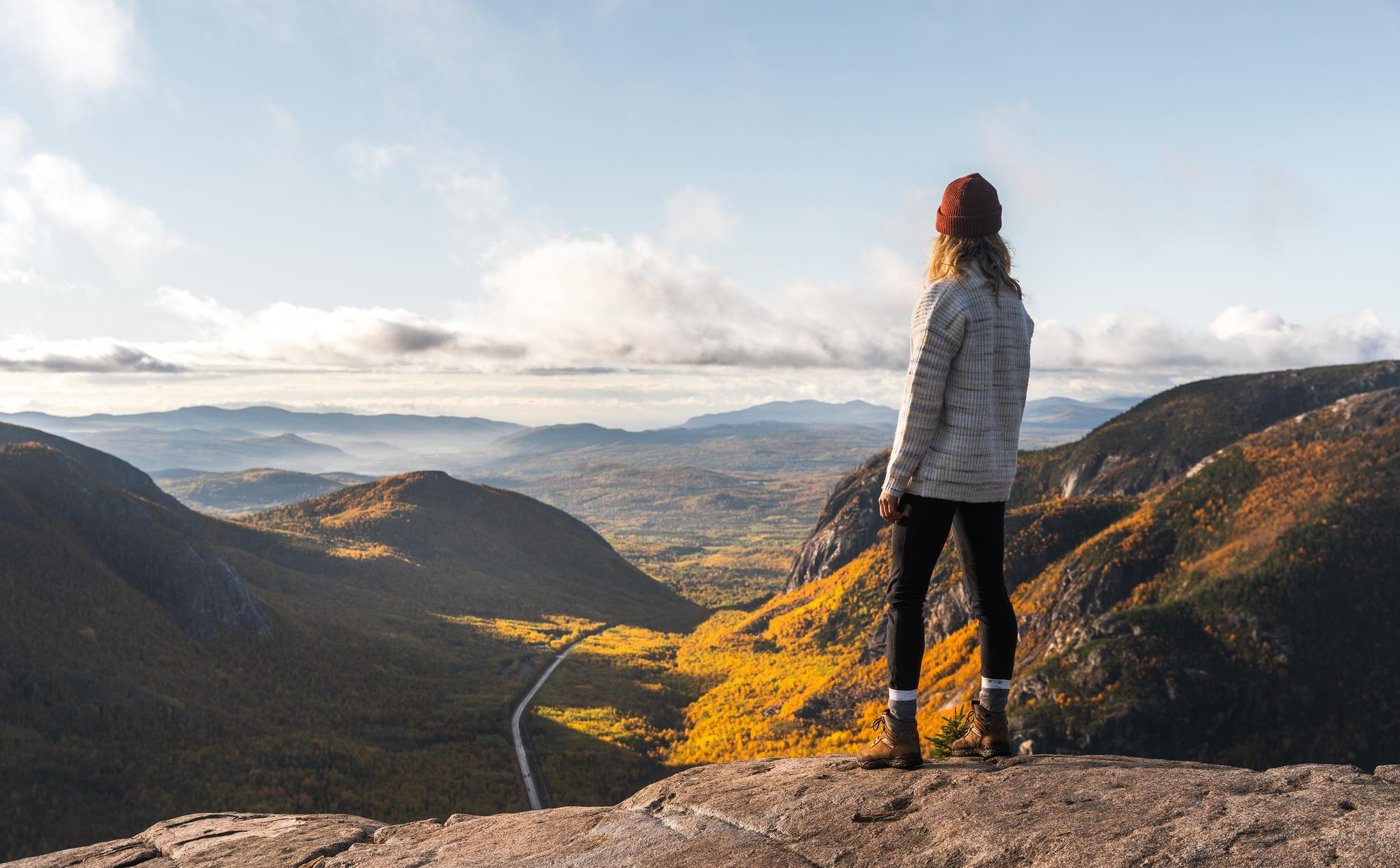
Bus station hiking trails in the Shickshock Mountains traverse an ancient landscape characterized by heavily eroded peaks, some exceeding 3,300 feet (1,000 meters) in elevation. The region features a diverse ecosystem, transitioning from dense forests of black spruce and white birch at lower elevations to treeless alpine tundra on the highest summits. Deep streams and waterfalls cut through the mountains, contributing to the varied terrain. This unique environment offers a range of hiking experiences across its distinct natural features.
Best…
Last updated: July 4, 2026
4.9
(7)
235
hikers
Moderate hike. Good fitness required. Easily-accessible paths. Suitable for all skill levels.
4.5
(4)
63
hikers
4.54km
01:09
10m
10m
Easy hike. Great for any fitness level. Easily-accessible paths. Suitable for all skill levels.

Sign up for free
5.0
(3)
49
hikers
5.00km
01:17
20m
20m
Easy hike. Great for any fitness level. Easily-accessible paths. Suitable for all skill levels.
6
hikers
4.32km
01:09
40m
40m
Easy hike. Great for any fitness level. Easily-accessible paths. Suitable for all skill levels.
5.0
(1)
8
hikers
16.3km
04:48
430m
430m
Moderate hike. Good fitness required. Easily-accessible paths. Suitable for all skill levels.
Get access to more routes and recommendations from other explorers.
Sign up for free
Already have an account?
Our route recommendations are based on thousands of hikes, rides, and runs completed by other people on komoot.
Start today with a free account
Your next adventure awaits.
Login or Signup
Popular around Shickshock Moutains
Other adventures in the Shickshock Moutains

Tips from the Community

It is worth going down the steps but sea. There is a surprise: a waterfall!
0
0
Here are the red chairs again!
0
0
Beautiful boardwalk along the salt marsh
0
0
The highest in Canada!
0
0

The whole state of mind of Canada in two chairs!!!!
0
0

Great view to linger and seating to rest after the descent or before the ascent.
0
0
Great view from down here too. Short walk from the parking lot. From here you also have access to the beach when it is not closed.
0
0
Breathtaking view from up here. The climb is definitely worth it.
1
0
Frequently Asked Questions
How many bus station hiking trails are available in the Chic-Choc Mountains?
There are several hiking trails in the Chic-Choc Mountains that are conveniently accessible from bus stations. This guide features 7 such routes, ranging from easy strolls to more challenging moderate hikes.
Are there any easy, family-friendly hikes accessible by bus in the Chic-Choc Mountains?
Yes, the region offers several easy routes perfect for families. For a gentle coastal walk, consider the Boardwalk Through Salt Marsh loop from Plage de Penouille, which is about 4.5 km long. Another accessible option is the Le Belvédère – Havre de Gaspé loop from Gaspé, offering pleasant views over 4.3 km.
What are the best circular walks from bus stations in the Chic-Choc Mountains?
Many of the trails accessible by bus are circular, allowing you to return to your starting point. The Rocky Hiking Trail – Wooden Boardwalk Trail loop from Navette Mont-Jacques-Cartier is a moderate 8.5 km loop. For a coastal experience, the Cap-des-Rosiers Lighthouse loop from Cap-des-Rosiers is an easy 5 km option.
What kind of views can I expect on bus-accessible trails in the Chic-Choc Mountains?
The Chic-Choc Mountains offer diverse landscapes. You can expect views ranging from ancient, eroded peaks and dense black spruce forests to treeless alpine tundra on higher elevations. Coastal trails provide stunning ocean vistas, such as those on the View of Forillon Cliffs loop from Cap-des-Rosiers.
Are there any waterfalls or significant water features along these routes?
Yes, the mountains are home to deep streams and waterfalls. While not directly on every bus-accessible route, the region features stunning natural beauty like Devil's Falls, which can be a nearby attraction to explore. The Rivière Sainte-Anne also cuts through Parc national de la Gaspésie, offering scenic river paths.
What are some interesting landmarks or points of interest near the bus-accessible trails?
Beyond the trails themselves, the region boasts several notable attractions. You can visit the Mont-Saint-Alban Observation Tower for panoramic views, or explore the serene Lac aux Américains. For impressive coastal scenery, don't miss the View of Cap Bon-Ami from Red Adirondack Chairs.
What is the best time of year to hike in the Chic-Choc Mountains using public transport?
The best time for hiking is typically from late spring to early autumn (May to October). During these months, trails are generally clear of snow, and public transport services are more frequent. The autumn foliage offers particularly spectacular views. Winter hiking is also possible, but requires specialized gear and knowledge, and public transport options may be limited.
What do other hikers enjoy most about the bus-accessible trails in the Chic-Choc Mountains?
The komoot community highly rates the hiking experiences in the Chic-Choc Mountains, with an average score of 4.7 stars from 345 ratings. Reviewers often praise the unique blend of ancient mountain landscapes, diverse ecosystems, and the accessibility of trails that lead to breathtaking viewpoints and natural features.
Are there any challenging trails accessible by bus for experienced hikers?
While many bus-accessible trails are easy to moderate, some offer a good challenge. The View of Forillon Cliffs loop from Cap-des-Rosiers is a moderate 16.3 km route with significant elevation gain, providing a more strenuous experience. For those seeking higher elevations, the region's prominent peaks like Mont Jacques-Cartier and Mont Albert offer rewarding, though often tougher, ascents.
What kind of wildlife might I encounter on these trails?
The varied altitudes and microclimates of the Chic-Choc Mountains support rich biodiversity. Hikers might spot wildlife such as moose, caribou, porcupines, and snowshoe hares. The area is also known for wild mushrooms, blueberries, and raspberries, especially during late summer.
Most popular routes in the Shickshock Moutains
Most popular attractions in the Shickshock Moutains

Get inspired with the komoot mobile app


Explore more
Browse the best Hikes in other regions.
