The best running trails in the Shickshock Moutains
5.0
(4)
350
runners
14
runs
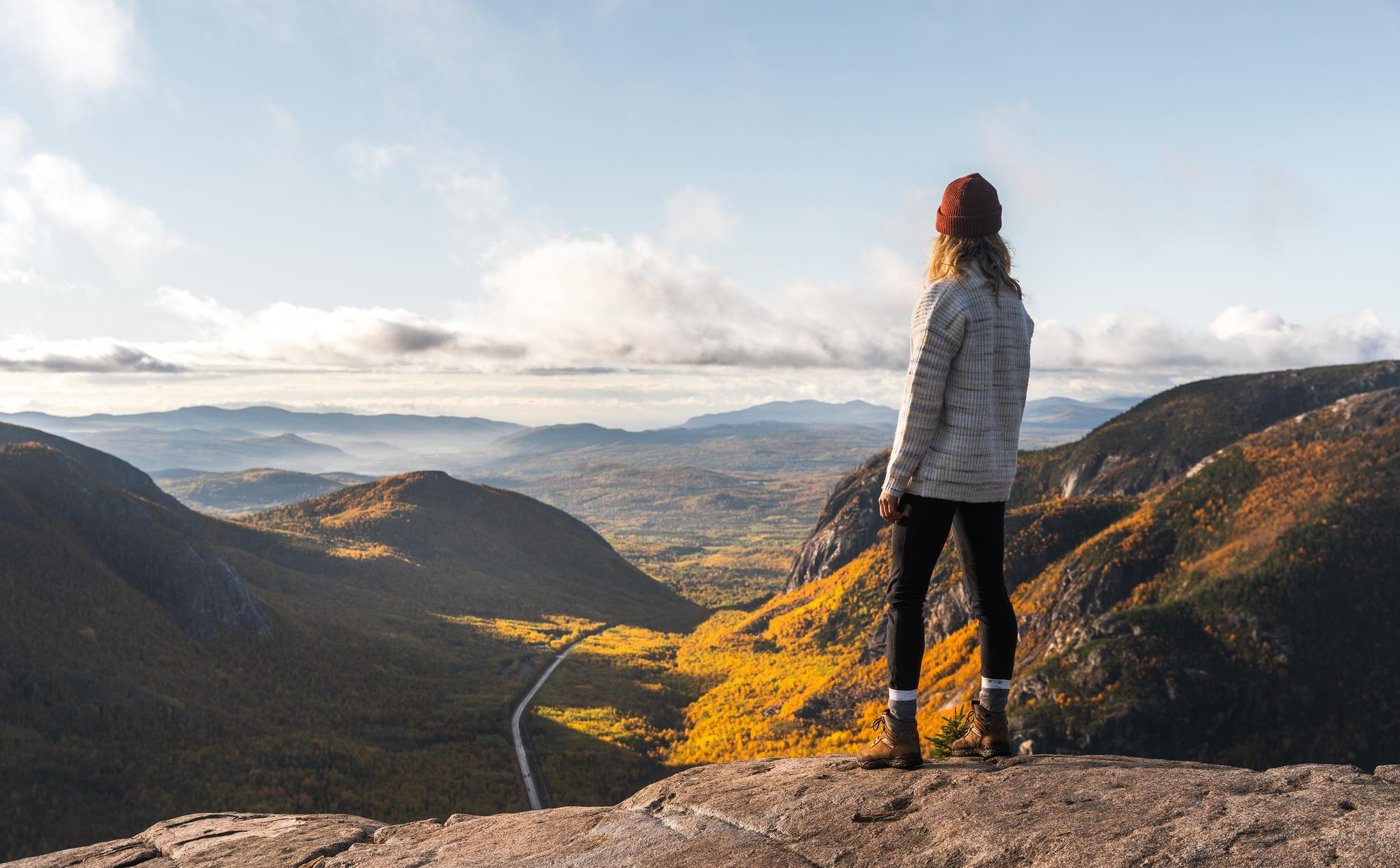
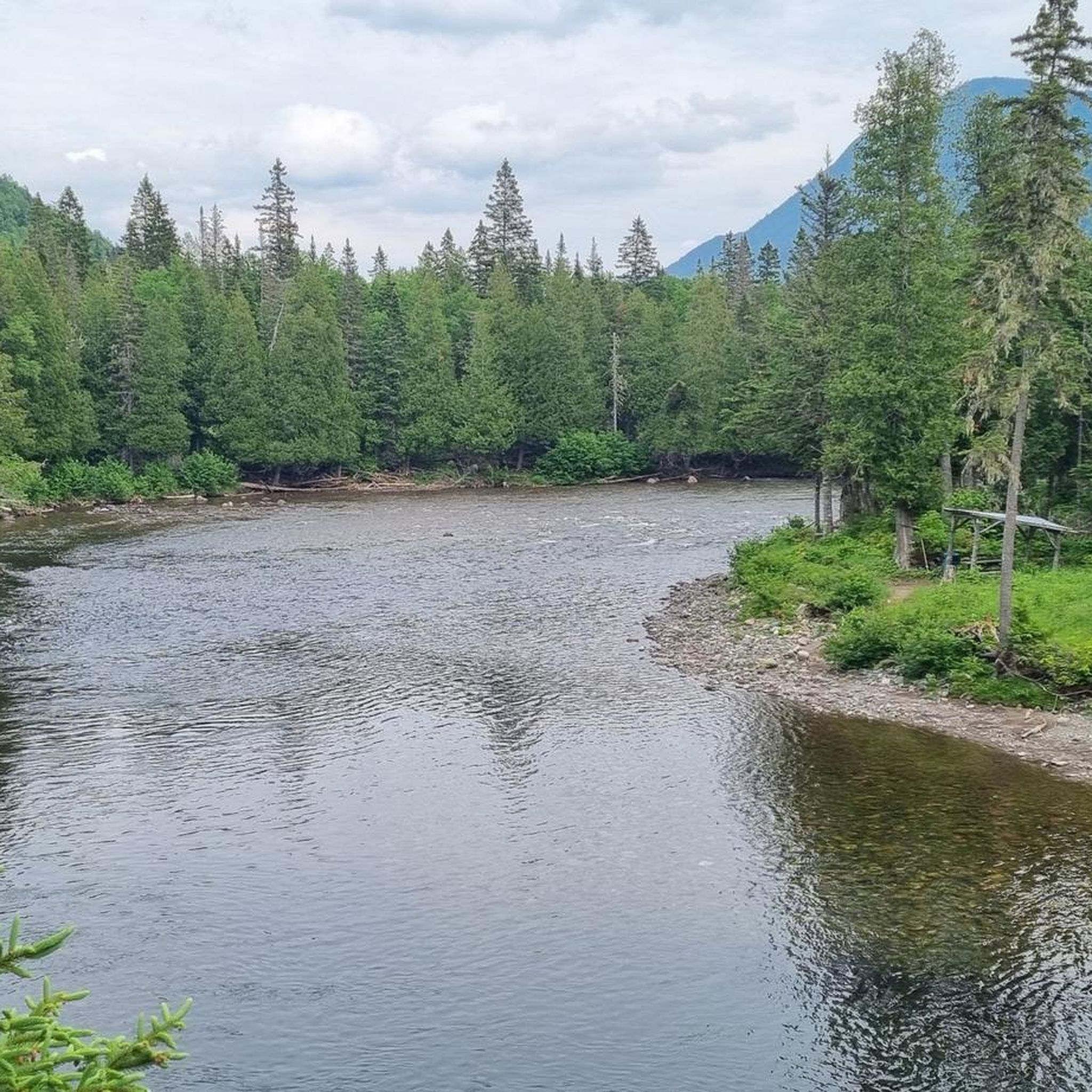
Jogging routes in the Shickshock Mountains traverse an ancient and rugged landscape, characterized by heavily eroded, rocky surfaces and rounded, flattened mountain tops. This subrange of the Appalachians features dense forests at lower elevations, transitioning to alpine tundra on higher peaks, offering diverse running environments. The region is also crisscrossed by several rivers and features waterfalls, adding to the scenic variety for runners.
Best jogging routes in the Shickshock Mountains
- The most popular jogging route is Running loop from Cap…
Last updated: June 25, 2026
5.0
(1)
42
runners
8.32km
01:12
340m
340m
Hard run. Very good fitness required. Mostly paved surfaces. Suitable for all skill levels.
24
runners
25.3km
03:25
810m
810m
Hard run. Very good fitness required. Mostly paved surfaces. Suitable for all skill levels.

Sign up for free
18
runners
12.1km
01:59
860m
860m
Hard run. Very good fitness required. Mostly paved surfaces. Suitable for all skill levels.
5.0
(1)
14
runners
13.3km
01:51
450m
450m
Hard run. Very good fitness required. Mostly paved surfaces. Suitable for all skill levels.
14
runners
11.3km
01:39
770m
770m
Hard run. Very good fitness required. Mostly paved surfaces. Suitable for all skill levels.
12
runners
8.10km
01:18
460m
460m
Hard run. Very good fitness required. Mostly paved surfaces. Suitable for all skill levels.
29
runners
13.4km
02:21
870m
870m
Hard run. Very good fitness required. Sure-footedness, sturdy shoes and alpine experience required.
11
runners
6.94km
01:00
370m
370m
Hard run. Very good fitness required. Mostly paved surfaces. Suitable for all skill levels.
8
runners
5.36km
00:42
120m
120m
Hard run. Good fitness required. Sure-footedness, sturdy shoes and alpine experience required.
8
runners
3.75km
00:36
230m
230m
Moderate run. Good fitness required. Mostly paved surfaces. Suitable for all skill levels.
Get access to more routes and recommendations from other explorers.
Sign up for free
Already have an account?
Our route recommendations are based on thousands of hikes, rides, and runs completed by other people on komoot.
Start today with a free account
Your next adventure awaits.
Login or Signup
Other adventures in the Shickshock Moutains

Tips from the Community

Breathtaking view from up here. The climb is definitely worth it.
1
0

The view from this observation tower is simply sublime, we can contemplate the entire peninsula and especially Cape Bon-Ami with obviously the Gulf of St. Lawrence in the background.
3
0

Breathtaking 360 ° view. Hang the caps and everything that can fly away, it blows up there!
3
0
Frequently Asked Questions
What kind of terrain can I expect when running in the Shickshock Mountains?
The Shickshock Mountains offer a rugged and ancient landscape. You'll encounter heavily eroded, rocky surfaces, and at higher elevations, the dense forests transition into alpine tundra, providing diverse and challenging environments for running. The region is also crisscrossed by several rivers and features waterfalls, adding to the scenic variety.
Are there running routes suitable for beginners in the Shickshock Mountains?
While the Shickshock Mountains are known for their challenging terrain, there are a few moderate options. Most of the routes listed, such as the Running loop from Cap Bon Ami, are rated as moderate to difficult, often involving significant elevation changes. It's advisable to check the route details on komoot for specific difficulty ratings before heading out.
Are there many circular running routes available in the Shickshock Mountains?
Yes, many of the running routes in the Shickshock Mountains are designed as loops, allowing you to start and finish at the same point. Examples include the popular Running loop from Cap du Petit-Gaspé and the more challenging Pic Sterling – Mont Vallières-de-Saint-Réal loop from Lac Sainte-Anne.
What are some notable landmarks or viewpoints I can see along the running routes?
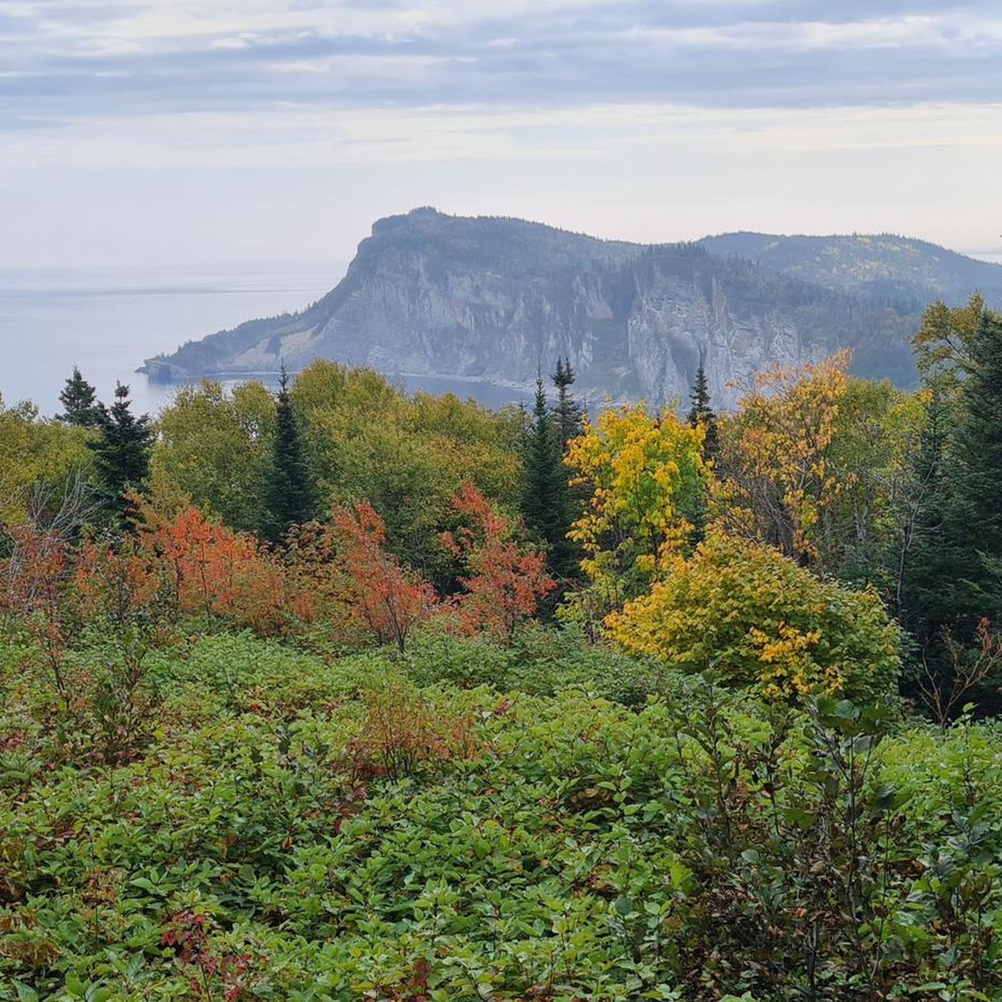
The Shickshock Mountains offer stunning natural beauty. Along various routes, you might encounter impressive viewpoints like the Mont-Saint-Alban Observation Tower or the scenic View of Cap Bon-Ami from Red Adirondack Chairs. You can also discover natural features such as Devil's Falls and the serene Lac aux Américains.
Are there options for long-distance trail running in the Shickshock Mountains?
Absolutely. The Shickshock Mountains are part of the International Appalachian Trail (IAT), offering extensive opportunities for long-distance running. For a significant challenge, consider routes like the Cap Gaspé loop from Cap du Petit-Gaspé, which spans over 25 kilometers with substantial elevation gain.
What do other runners enjoy most about the trails in the Shickshock Mountains?
The running routes in the Shickshock Mountains are highly rated by the komoot community, with an average score of 5.0 stars from 4 reviews. Runners often praise the challenging ascents, varied terrain, and the stunning panoramic views, especially from higher peaks where the landscape opens up to alpine tundra.
Are there any running routes that lead to mountain peaks?
Yes, several routes will take you towards or over mountain peaks, offering incredible views. The Mont Jacques-Cartier loop from Navette Mont-Jacques-Cartier (retour), for instance, leads to the highest peak in the Shickshocks, Mount Jacques-Cartier, providing an exhilarating high-altitude running experience.
Can I find running routes that feature waterfalls?
Yes, the region is known for its water features. The Belvédère de la Saillie loop from Chute Sainte-Anne is a great option that takes you near Chute Sainte-Anne, allowing you to enjoy the scenic beauty of the waterfalls while running.
What is the best time of year to go running in the Shickshock Mountains?
While the mountains offer year-round outdoor activities, jogging is particularly popular in the warmer months. Autumn provides a picturesque setting with vibrant fall colors. The region experiences significant rainfall and snowfall, so checking weather conditions is always recommended, especially for higher elevations.
Are there any running routes that offer coastal views?
Yes, some routes provide a unique blend of mountain and coastal scenery. The Cap Gaspé loop from Cap du Petit-Gaspé is a longer route that includes varied landscapes, offering expansive views that encompass coastal sections of the Gaspé Peninsula.
How many running routes are available in the Shickshock Mountains on komoot?
There are over 10 dedicated running routes in the Shickshock Mountains listed on komoot, ranging from moderate to difficult in intensity. These routes have been explored by more than 300 runners from the komoot community.
Most popular routes in the Shickshock Moutains
Most popular attractions in the Shickshock Moutains

Get inspired with the komoot mobile app


Explore more
Browse the best Running Trails & Routes in other regions.
