The best hikes from bus stations in the Coast Range
4.7
(1854)
26,719
hikers
185
hikes
Bus station hiking trails in the Coast Range offer access to a diverse landscape characterized by ancient redwood forests, dramatic coastal bluffs, and temperate rainforests. The region features accessible mountain ridges that provide panoramic views, alongside numerous rivers and waterfalls. This geographical variety creates a range of environments for outdoor exploration, from dense, moss-covered forests to rugged coastlines.
Best bus station hiking trails in the Coast Range
- The most popular bus station hiking route is East Avenue and Ward Creek…
Last updated: September 27, 2026
10
hikers
7.23km
02:07
180m
220m
Moderate hike. Good fitness required. Easily-accessible paths. Suitable for all skill levels.
2
hikers
8.88km
02:16
30m
10m
Moderate hike. Good fitness required. Easily-accessible paths. Suitable for all skill levels.

1
hikers
9.21km
02:21
20m
50m
Moderate hike. Good fitness required. Easily-accessible paths. Suitable for all skill levels.
1.75km
00:28
0m
30m
Easy hike. Great for any fitness level. Easily-accessible paths. Suitable for all skill levels.
670m
00:11
10m
0m
Easy hike. Great for any fitness level. Easily-accessible paths. Suitable for all skill levels.
Get access to more routes and recommendations from other explorers.
Already have an account?
Our route recommendations are based on thousands of hikes, rides, and runs completed by other people on komoot.
Start today with a free account
Your next adventure awaits.
Popular around Coast Range

Pacific Crest Trail from Mexico to Canada – 4,200 kilometres of wilderness

Bay Area Ridge Trail — Hiking the backbone of The Bay
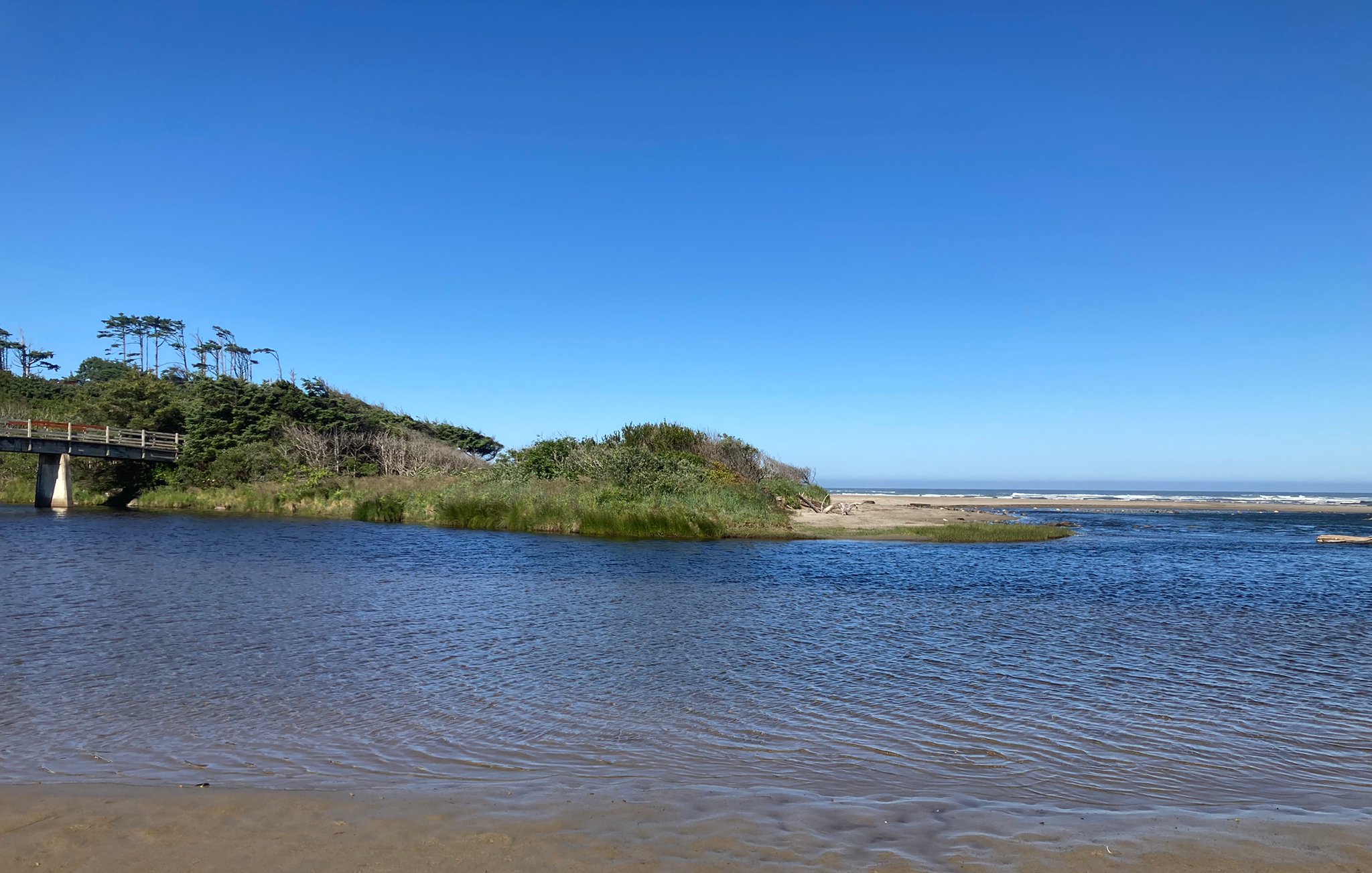
Corvallis-to-the-Sea Trail — Walk through wild Oregon

Bigfoot Trail — Exploring the remote Klamath Mountains
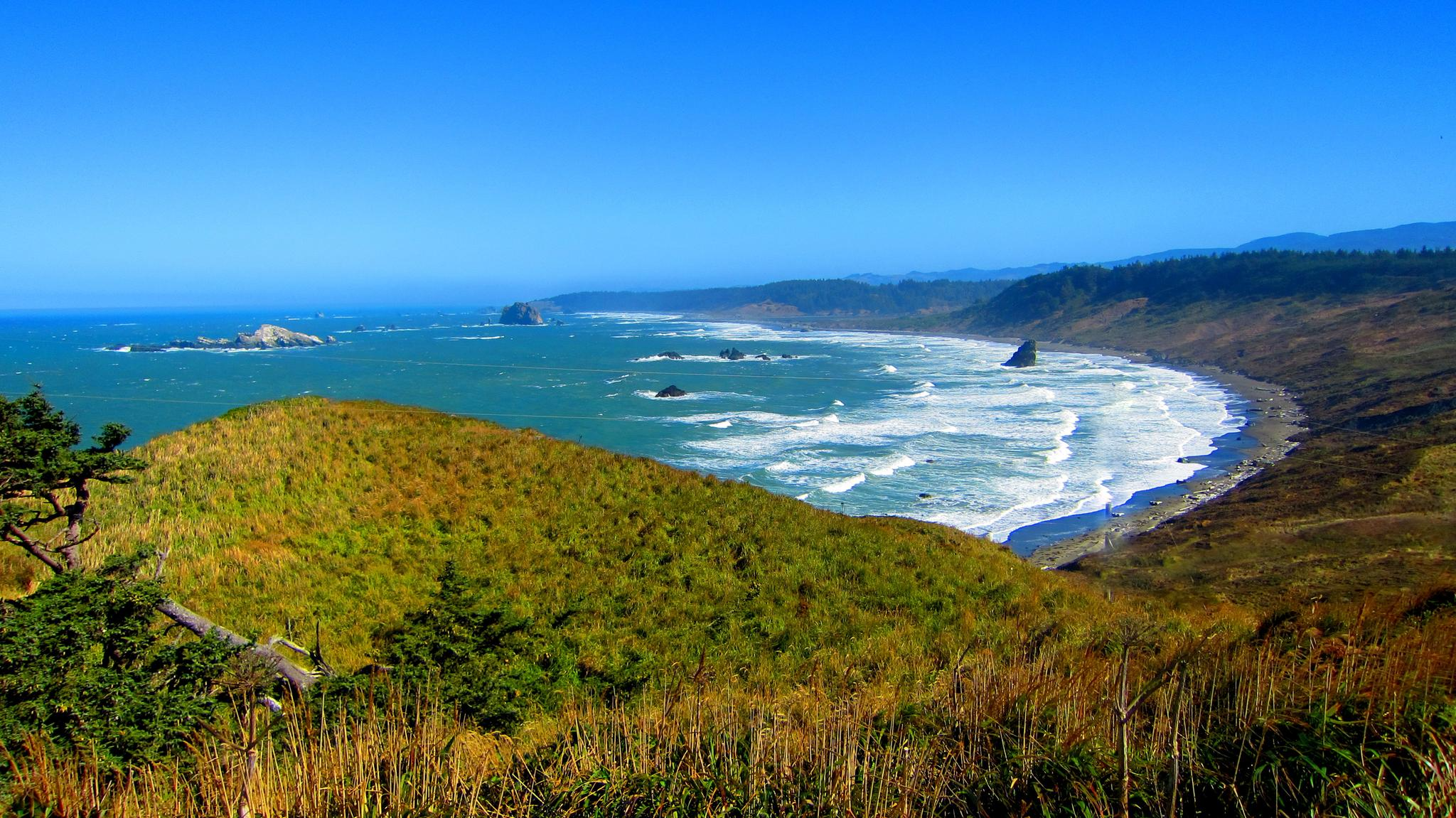
Oregon Coast Trail — An unforgettable walk along the Pacific's edge

Hiking treasures in the Bay Area

Bay Area Ridge Trail — Circumnavigating the San Francisco Bay

California Coastal Trail — Following the coastline from Mexico to Oregon
Other adventures in the Coast Range


Tips from the Community


The Iron Horse Trail is protected with a fence tunnel from flying golf balls as it passes through the Country Club with golf course greens on both sides.
0
0
Well managed community park with restrooms and water fountains and some benches with shade for a break on a run along the Iron Horse Trail
0
0
Large central park along the eponymous Walnut Creek, with the core of the city's administration and public community buildings.
0
0
Best Trans-Contra Costa car-free bike route to access the park trails
0
0
Small town with cafes and stores to refuel. Plus a conveniently located bike shop right off the trail.
0
0
Frequently Asked Questions
How many hiking trails are accessible from bus stations in the Coast Range?
There are over 160 hiking trails in the Coast Range that are accessible from bus stations. These routes offer a wide variety of experiences, from easy strolls to more challenging ascents, ensuring there's something for every hiker.
What do other hikers enjoy most about bus station accessible trails in the Coast Range?
The komoot community highly rates these trails, with an average score of 4.7 stars. Hikers frequently praise the diverse landscapes, from ancient redwood forests and dramatic coastal bluffs to lush temperate rainforests, all easily reachable via public transport.
Are there family-friendly hiking options near bus stops in the Coast Range?
Yes, many trails are suitable for families. For an easy, shorter option, consider the Sabercat Creek Trail, which offers a pleasant walk with minimal elevation gain. The Coast Range also features numerous nature walks and shorter loops through forests that are great for all ages.
Can I bring my dog on these bus station accessible trails?
Many trails in the Coast Range are dog-friendly, especially those in regional parks and on designated paths. However, regulations can vary by specific park or trail, particularly in state parks or protected areas. It's always best to check the specific rules for the trail you plan to hike, ensuring your dog is leashed where required.
Are there any circular routes accessible from bus stations?
Yes, you can find several circular routes. The East Avenue and Ward Creek Trail Loop is a moderate option that allows you to start and end at the same point, making it convenient for public transport users.
What kind of natural features or landmarks can I expect to see along these trails?
The Coast Range is rich in natural beauty. Depending on the trail, you might encounter towering ancient redwood forests, dramatic coastal bluffs, or lush temperate rainforests. Notable landmarks include Mount Diablo Summit offering panoramic views, or the rugged beauty of Point Isabel Regional Shoreline Park. Some areas also feature waterfalls, such as Munson Creek Falls in Oregon.
What is the best time of year to hike these bus station accessible trails?
The Coast Range offers year-round hiking opportunities, but the best time often depends on the specific region and your preferences. Spring and fall generally provide mild temperatures and fewer crowds. Summer is popular for coastal trails, while winter can offer unique, misty forest experiences, though some higher elevation trails might have snow or be muddy. Always check local weather conditions before heading out.
Are there any trails that offer significant elevation gain for a challenge?
While many bus-accessible trails are moderate, the Coast Range does offer routes with significant climbs. For example, the region includes peaks like Mount Diablo Summit and Saddle Mountain, which provide challenging ascents and rewarding panoramic views. Always check the difficulty grade and elevation profile for specific routes.
Can I find trails with coastal views or access to beaches?
Absolutely. The Coast Range is renowned for its stunning coastline. Many trails, particularly in Oregon and Washington, offer breathtaking ocean views, opportunities to explore tidepools, and access to sandy beaches. Areas like Ecola State Park and Oswald West State Park in Oregon are excellent for coastal hiking experiences.
Are there any long-distance or point-to-point trails accessible by bus?
Yes, some longer trails or sections of them can be accessed via public transport, allowing for point-to-point adventures. The Iron Horse Regional Trail, for instance, is a longer route that can be broken into sections, with various bus stops along its length. The Oregon Coast Trail also has multiple access points, making sections of it feasible for bus-assisted hikes.
What should I wear for hiking on bus accessible trails in the Coast Range?
Given the Coast Range's varied climate, layering is key. Even on sunny days, coastal areas can be cool and windy. Waterproof and windproof outer layers are advisable, especially for trails through temperate rainforests or along the coast. Sturdy, comfortable hiking shoes are essential, and bringing extra water and snacks is always a good idea.
Most popular routes in the Coast Range
Most popular attractions in the Coast Range

Get inspired with the komoot mobile app


Explore more
Browse the best Hikes in other regions.
