The best hikes from bus stations in Genoa
4.5
(17971)
85,395
hikers
1,016
hikes
Bus station hiking trails in Genoa offer access to a diverse landscape, characterized by the Ligurian Sea to the south and the Ligurian Apennines inland. The region features a mix of coastal paths, Mediterranean forests, and hills, with routes often starting directly from urban areas. Hikers can explore ancient mule tracks, historic forts, and natural parks, providing varied terrain from sea-level strolls to moderate ascents.
Best bus station hiking trails in Genoa
- The most popular bus station hiking route is…
Last updated: October 1, 2026
4.7
(211)
1,206
hikers
6.95km
02:33
300m
300m
Moderate hike. Good fitness required. Mostly accessible paths. Sure-footedness required.
4.6
(88)
442
hikers
14.1km
06:04
920m
910m
Hard hike. Very good fitness required. Sure-footedness, sturdy shoes and alpine experience required.

4.5
(56)
622
hikers
2.57km
00:46
80m
80m
Easy hike. Great for any fitness level. Easily-accessible paths. Suitable for all skill levels.
4.8
(135)
531
hikers
23.0km
08:52
1,100m
1,100m
Hard hike. Very good fitness required. Mostly accessible paths. Sure-footedness required.
4.7
(38)
316
hikers
4.05km
01:31
230m
230m
Moderate hike. Great for any fitness level. Mostly accessible paths. Sure-footedness required.
Get access to more routes and recommendations from other explorers.
Already have an account?
Our route recommendations are based on thousands of hikes, rides, and runs completed by other people on komoot.
Start today with a free account
Your next adventure awaits.
Popular around Genoa
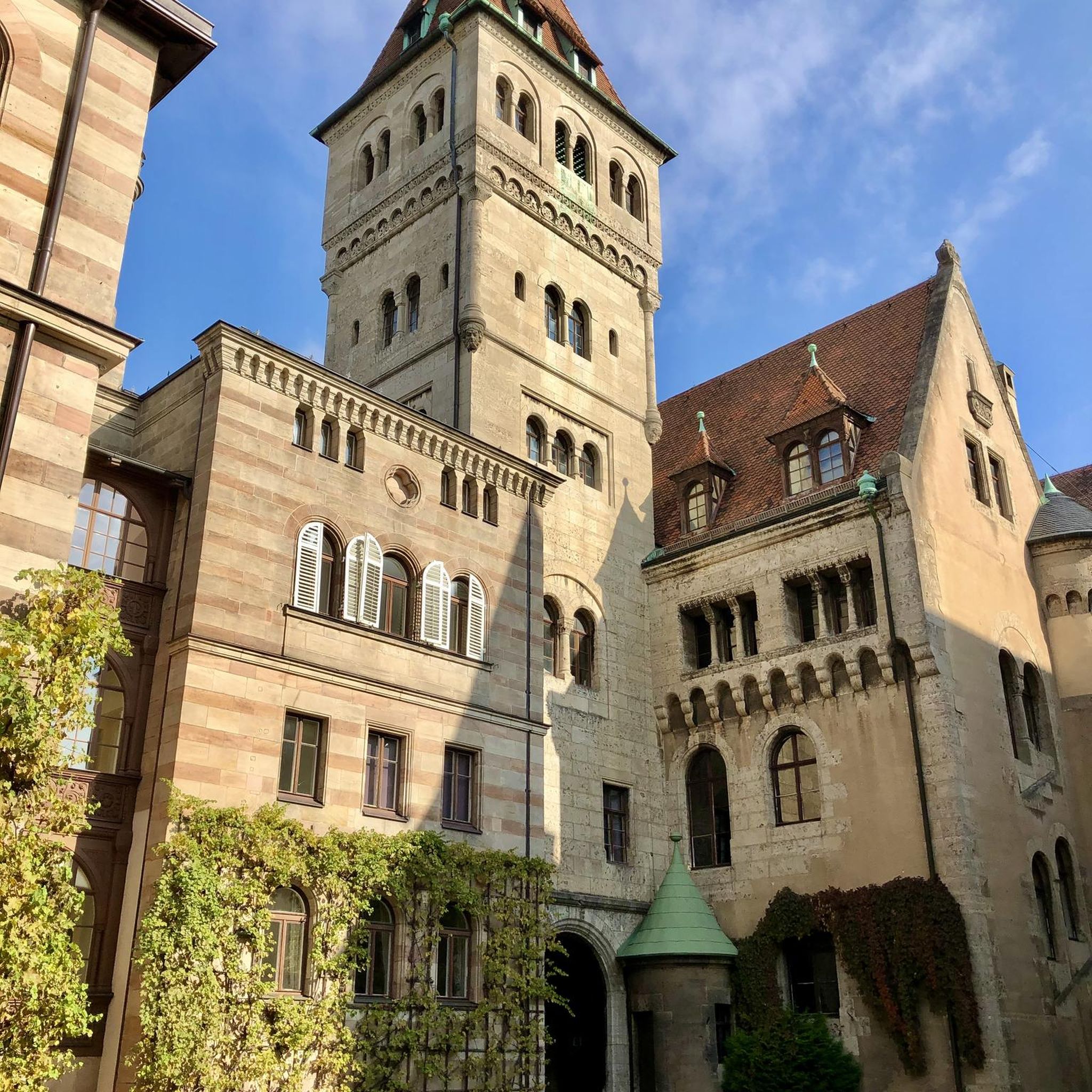
Hikes from bus stations around Parco Naturale Regionale di Portofino

Hikes from bus stations around Lake Lungo

Hikes from bus stations in Monte Fasce

Hikes from bus stations in Punta Manara

Hikes from bus stations in Selva Della Madonna

Hikes from bus stations around Lake Bruno
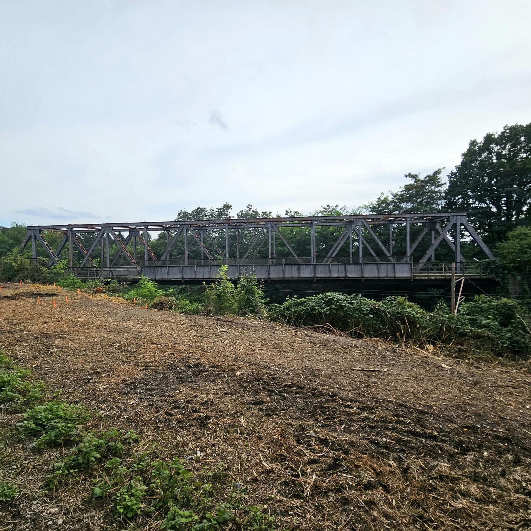
Hikes from bus stations around Parco naturale regionale dell'Aveto

Hikes from bus stations around Lake del Brugneto

Hikes from bus stations around Parco naturale regionale dell'Antola
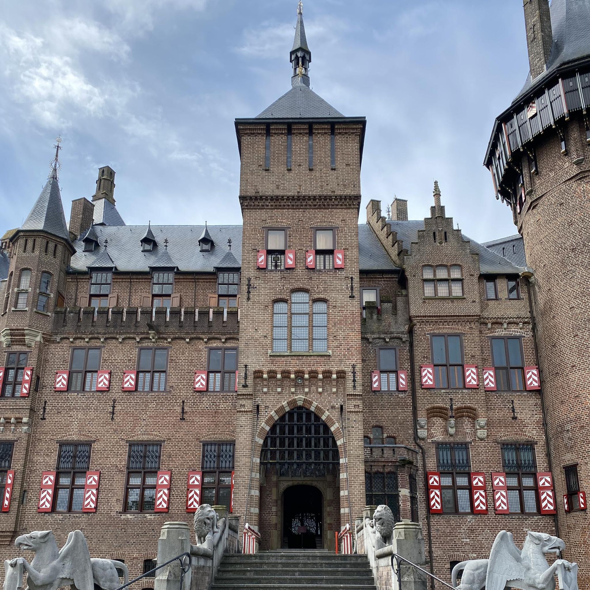
Hikes from bus stations in Lago Marcotto - Roccabruna - Gifarco - Lago Della Nave
Other adventures in Genoa


Tips from the Community

Great, well-signposted hiking trail
0
0

A breathtaking view but it's nothing for people with the fear of hights
0
0
A breathtaking view but it's nothing for people with the fear of hights
0
0

A dream-beautiful hiking trail. I can only recommend it
0
0


Very busy coastal road, pay attention
0
0

Unsafe bathing due to lack of a dedicated lifeguard service
0
0
Frequently Asked Questions
How many hiking trails are accessible by bus in Genoa?
Genoa offers a wide selection of hiking trails readily accessible by bus, with over 700 routes available. These trails range from easy coastal walks to more challenging mountain ascents, catering to various fitness levels.
Are there easy hiking trails accessible by bus in Genoa?
Yes, Genoa has over 200 easy hiking routes accessible by bus. Many of these are coastal paths offering stunning sea views, such as the Portofino Lighthouse Trail, which provides a gentle walk with picturesque scenery.
What kind of landscapes can I expect on bus-accessible hikes in Genoa?
Hiking trails accessible by bus in Genoa offer diverse landscapes. You can experience breathtaking coastal paths with views of the Ligurian Sea, explore the lush Mediterranean forests and hills of the Ligurian Apennines, or discover charming fishing villages like Boccadasse and Nervi. The region's unique geography allows for both seaside strolls and inland mountain adventures.
Are there any circular hiking routes from bus stations in Genoa?
Yes, many bus-accessible routes in Genoa are designed as circular walks, allowing you to start and end your hike at the same point, often near a bus stop. An example of a moderate circular route is the Lago del Brugneto Loop, which takes you through scenic natural surroundings.
What are some interesting landmarks or natural features to see along bus-accessible trails?
Along Genoa's bus-accessible trails, you can discover a wealth of interesting features. The hills surrounding the city are home to historic 18th and 19th-century forts, such as Passo della Bocchetta (772 m), offering panoramic views. You might also encounter ancient mule tracks known as 'creuze,' or explore natural parks like Portofino Natural Park with its diverse marine fauna.
Are there any challenging hikes accessible by bus from Genoa?
For experienced hikers, Genoa offers over 100 difficult routes accessible by bus. These often involve significant elevation changes and longer distances, such as the demanding Route Camogli – Batterie – San Fruttuoso, which provides stunning coastal views but requires good physical condition.
What is the best time of year to go hiking in Genoa?
The best time to hike in Genoa is typically during spring (April to June) and autumn (September to October). During these seasons, the weather is mild and pleasant, ideal for both coastal walks and exploring the inland hills. Spring brings blooming flowers, especially in areas like Antola Natural Park, while autumn offers comfortable temperatures and beautiful foliage.
Are there any trails that offer views of the historic aqueduct?
Yes, Genoa's historic aqueduct, dating back to Roman times, provides a unique hiking route. Trails along the aqueduct combine historical interest with natural charm, winding through oak and chestnut forests and areas of Mediterranean scrub, offering a different perspective of the region's heritage.
What do other hikers enjoy most about hiking in Genoa?
The hiking experience in Genoa is highly rated by the komoot community, with an average score of 4.5 stars. Reviewers often praise the stunning variety of landscapes, from dramatic coastal cliffs to serene mountain paths, and the accessibility of these diverse trails via public transport.
Can I find trails that connect Genoa to charming coastal villages?
Absolutely. Many bus-accessible hiking routes connect Genoa to picturesque coastal villages. You can hike to places like Boccadasse, Nervi, Camogli, and Portofino, allowing you to explore these charming locations on foot and enjoy the unique atmosphere of the Ligurian Riviera. For a longer coastal journey, consider routes like From Moneglia to Sestri Levante via Punta Manara.
Most popular routes in Genoa
Most popular attractions in Genoa

Get inspired with the komoot mobile app


Didn’t find what you were looking for?
Check out more Hikes throughout Genoa below and find the perfect route in your destination.
