The best hikes from bus stations in Biella
4.4
(5007)
27,176
hikers
95
hikes
Hiking in Biella offers a diverse landscape, from the alpine terrain of the Biella Alps to serene nature reserves, rolling hills, and plains. The region is characterized by significant peaks like Monte Mars and Monte Mucrone, picturesque lakes, and unique geological formations such as the Baragge Tableland and the Serra morainic hill. Extensive forests, including those within Oasi Zegna and Burcina Park, provide varied environments for exploration. This varied topography ensures a wide range of bus station hiking trails suitable for different preferences and fitness levels.
Best bus station hiking trails in Biella
- The most popular bus station hiking route is Fontainemore-Oropa Procession Route to Monte Camino, a 9.3 miles (14.9 km) trail that takes 7 hours 3 minutes to complete. This challenging route ascends towards Monte Camino, offering expansive views of the surrounding alpine landscape.
- Another top favourite among local hikers is Walk near the Santuario di Oropa - Ring tour, a moderate 3.3 miles (5.3 km) path. This circular route explores the area around the historic Sanctuary of Oropa, combining cultural interest with natural beauty.
- Local hikers also love the From Zimone to Lake Bertignano along the HIGH ALTITUDE TRAIL of the Ivrea Morainic Amphitheater – loop tour, a 7.2 miles (11.6 km) trail leading through the unique morainic amphitheater landscape, often completed in about 3 hours 9 minutes.
- Hiking in Biella is defined by its alpine peaks, extensive forests, and unique morainic hills, with a network of routes offering options for various ability levels, from easy strolls to demanding mountain ascents.
- The routes in Biella are highly rated by the komoot community with an average score of 4.4 stars from over 4000 reviews. More than 22000 hikers have used komoot to explore Biella's varied terrain.
Last updated: August 17, 2026
4.7
(76)
310
hikers
14.9km
07:04
1,190m
1,190m
Embark on the Fontainemore-Oropa Procession Route to Monte Camino, a challenging hike that takes you through diverse alpine terrain. You will encounter rocky sections and grassy areas shaped by ancient glacial activity. This difficult route covers 9.3 miles (14.9 km) with a significant elevation gain of 3893 feet (1187 metres), typically requiring about 7 hours and 3 minutes to complete. From the summit of Monte Camino, you can enjoy a spectacular 360-degree panoramic view, often seeing the vast Padana Plain and the majestic mountains of Valle d'Aosta on clear days. You will also pass the charming Laghetto del Camino, a small glacial lake teeming with life.
To begin your adventure, the trail conveniently starts and ends at the Sanctuary of Oropa. If you prefer to ease into the climb, you have the option to take a cable car up to Oropa Sport, which helps reduce the initial ascent. Along the way, you will find refuges such as Capanna Renata, providing potential spots for a rest or a break. This route demands very good fitness, sure-footedness, and some prior alpine experience, so plan accordingly for a full day on the mountain.
This route offers more than just a physical challenge; it also provides a rich cultural experience. The starting point, the Sanctuary of Oropa, is a UNESCO World Heritage site, adding a historical dimension to your hike. The trail itself is notable for its dramatic scenery, showcasing the raw beauty of the region's high alpine environment. Keep an eye out for Lake Viverone in the distance from higher elevations, adding another visual highlight to your journey.
4.3
(13)
36
hikers
5.28km
02:00
350m
350m
Explore the "Walk near the Santuario di Oropa - Ring tour," a moderate hiking trail that winds through the unspoiled Oropa Valley. This 3.3-mile (5.3 km) route features an elevation gain of 1157 feet (353 metres) and takes about 2 hours to complete. You will enjoy views of the historic Santuario di Oropa and the surrounding hills, with diverse flora like natural beech forests and high-altitude peat bogs along the largely accessible paths. The trail requires good fitness and sure-footedness.
This ring tour is a popular family-friendly option, offering a chance to explore the vicinity of the Santuario di Oropa. While the research does not specify trailhead access or parking details for this particular route, the area around the sanctuary is well-equipped for visitors. Always check local information for any seasonal closures or specific access requirements before your visit. The Oropa region is generally accessible, but some paths may require careful footing.
The Oropa Valley is notable for its pristine natural environment, free from urban development, and offers panoramic views of the Pianura Padana and the majestic peaks of the Valle d'Aosta. The Santuario di Oropa itself is the largest Marian sanctuary in the Alps and a UNESCO World Heritage Site. The surrounding Special Nature Reserve, covering 1,500 hectares, provides a wide range of activities for nature lovers, from relaxing strolls to more demanding routes.

Sign up for free
3.8
(4)
9
hikers
Moderate hike. Good fitness required. Easily-accessible paths. Suitable for all skill levels.
5.0
(1)
10
hikers
4.79km
01:24
130m
130m
Hike the easy Sentiero degli Alpini (Alpine Trail) for 3.0 miles (4.8 km) in Piedmont, gaining 414 feet (126 metres) in 1 hour and 24 minute
2
hikers
13.1km
03:33
180m
180m
Hike the moderate 8.2-mile Bessa Nature Reserve Trail (via S26) to explore a unique "lunar" landscape shaped by ancient Roman gold mines.
Get access to more routes and recommendations from other explorers.
Sign up for free
Already have an account?
Our route recommendations are based on thousands of hikes, rides, and runs completed by other people on komoot.
Start today with a free account
Your next adventure awaits.
Login or Signup
Popular around Biella
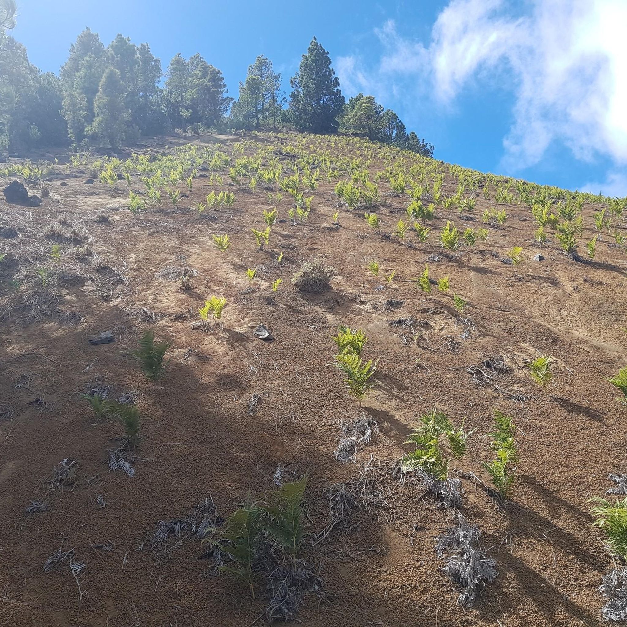
Hikes from bus stations in Serra Di Ivrea

Hikes from bus stations in Riserva Naturale Speciale Del Sacro Monte Di Oropa
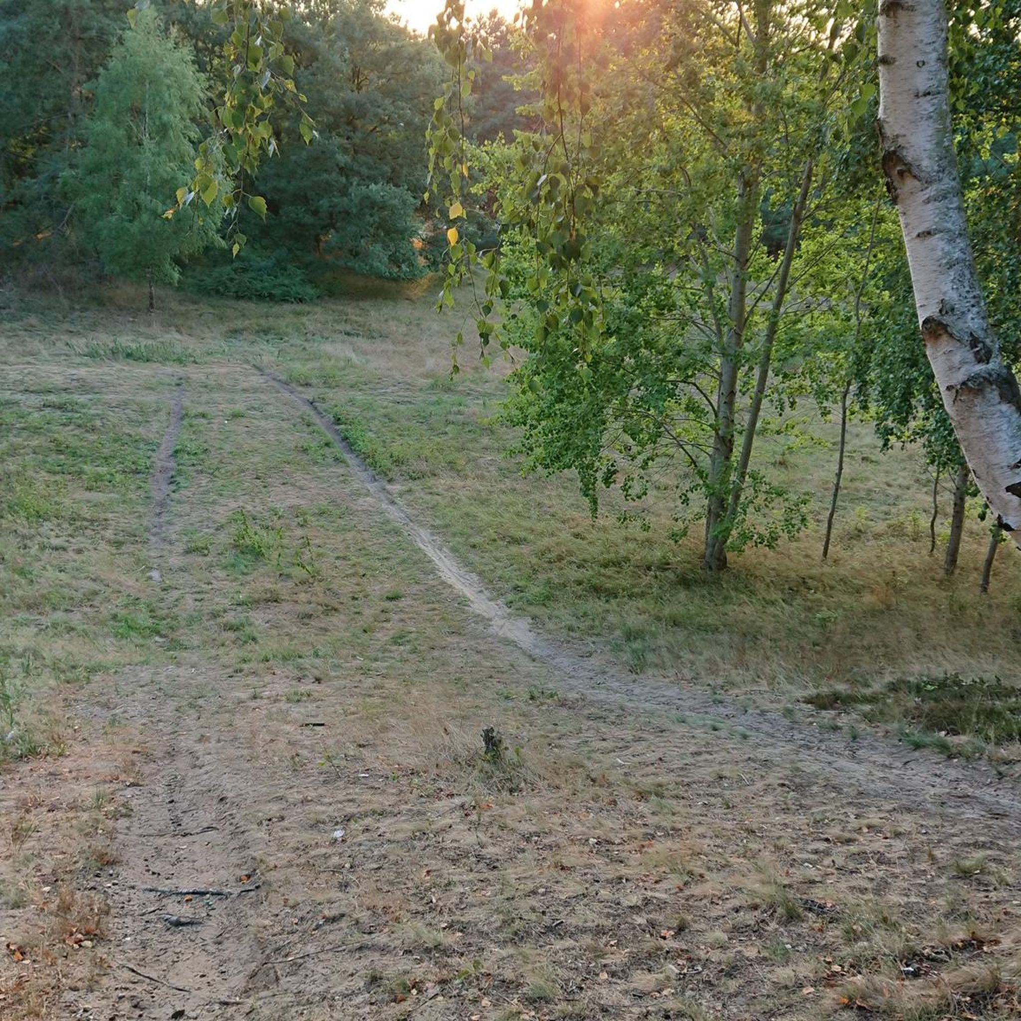
Hikes from bus stations around Lake dell'Ingagna

Hikes from bus stations in Riserva Naturale Della Bessa
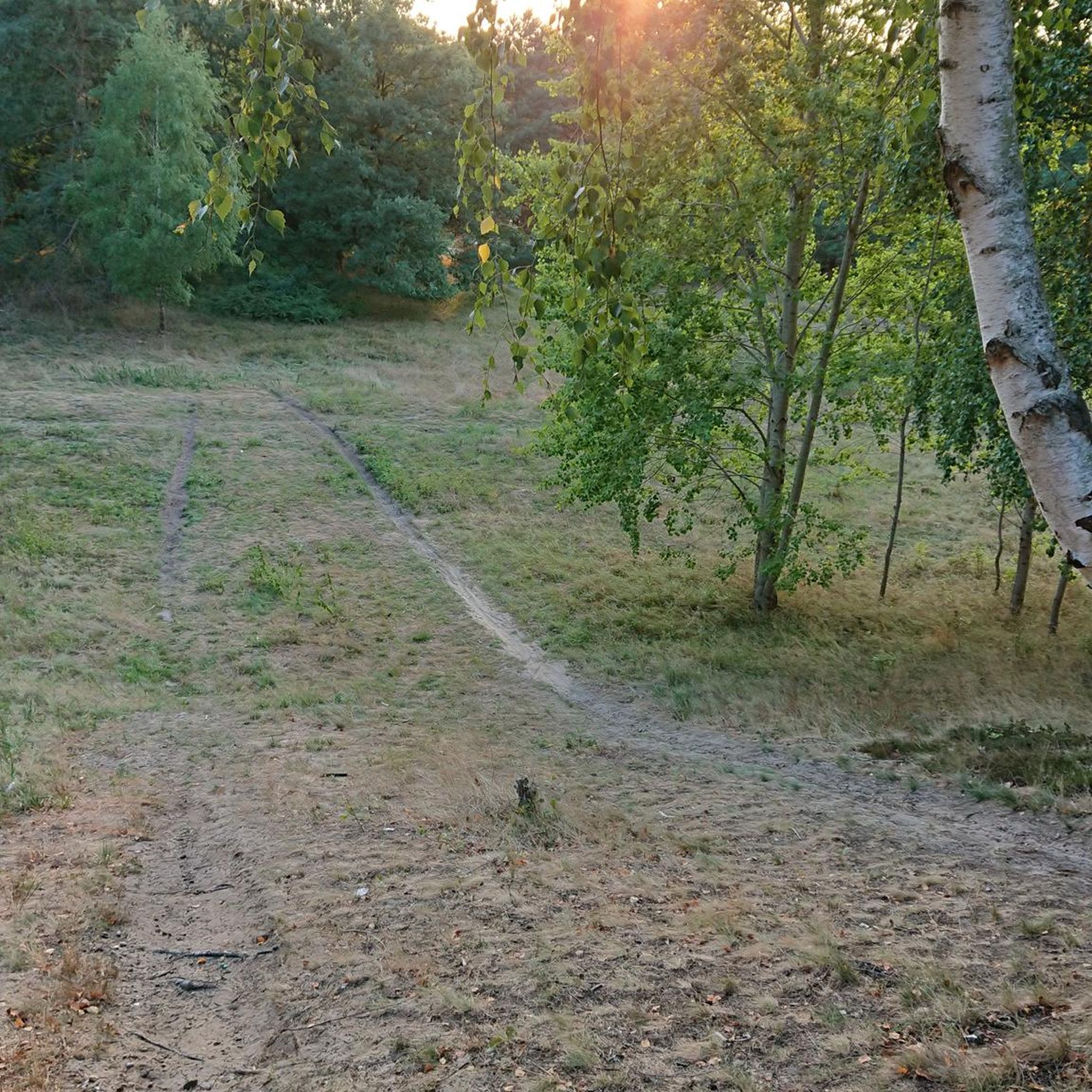
Hikes from bus stations in Trappa - Bagneri
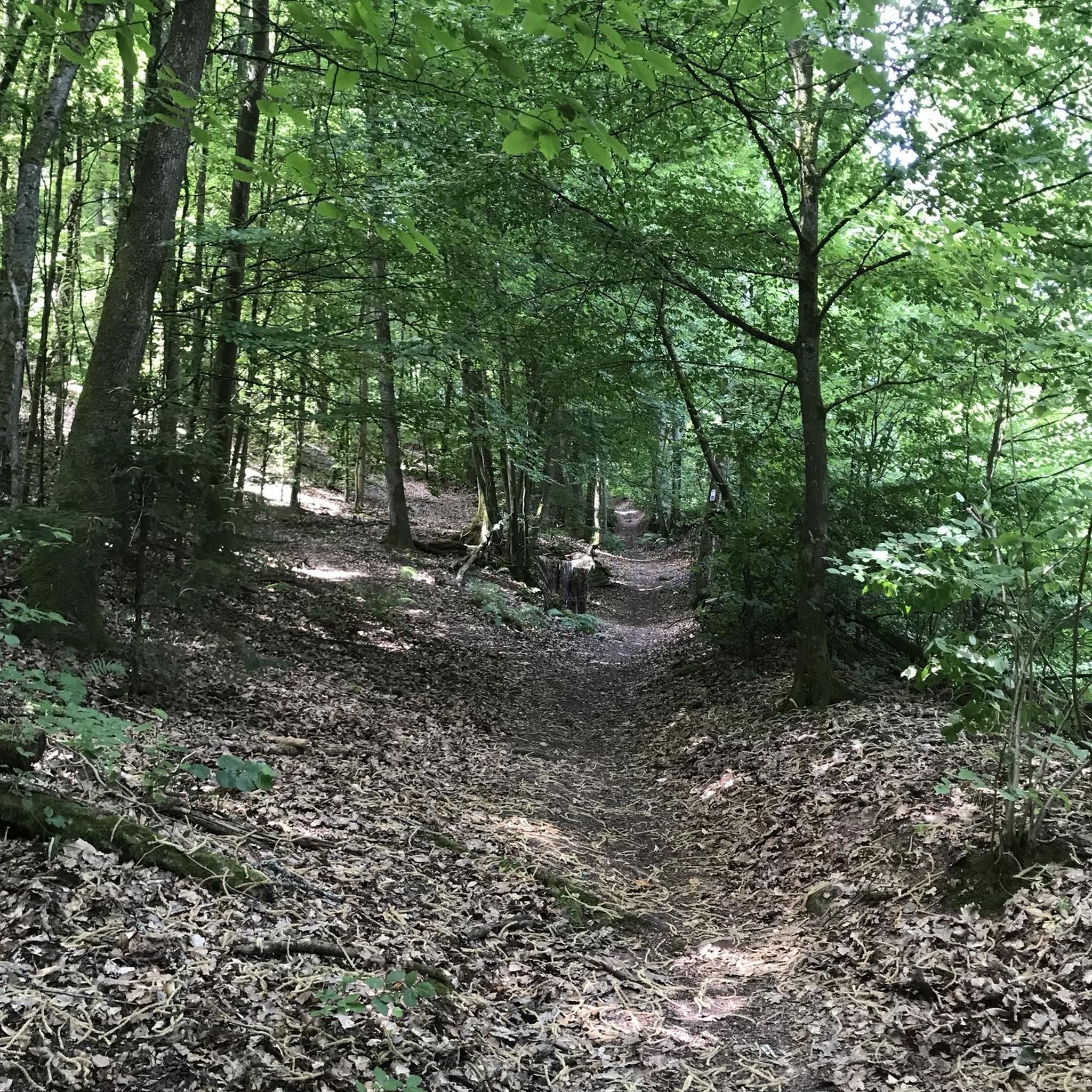
Hikes from bus stations in Riserva Naturale Spina Verde
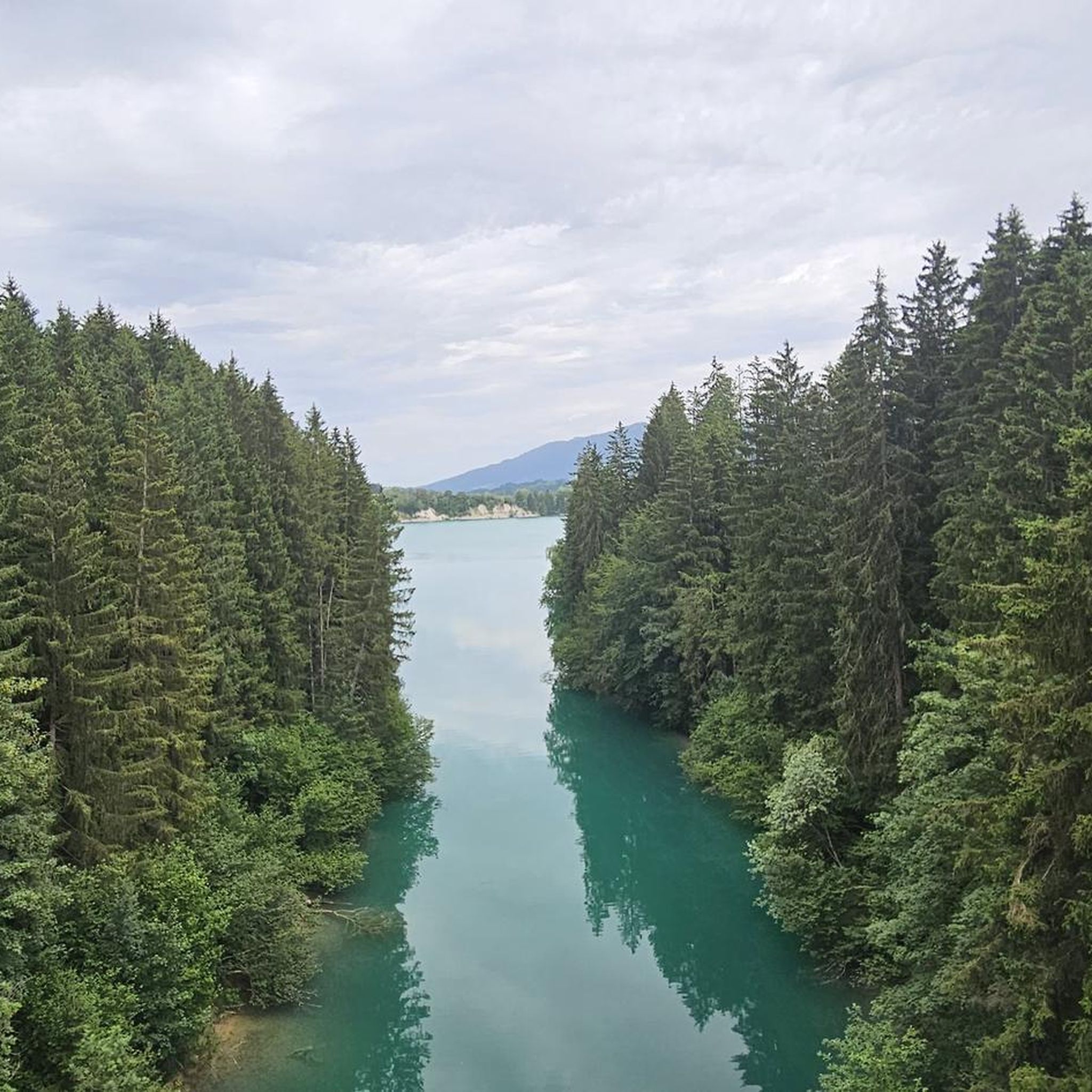
Hikes from bus stations around Lake Viverone
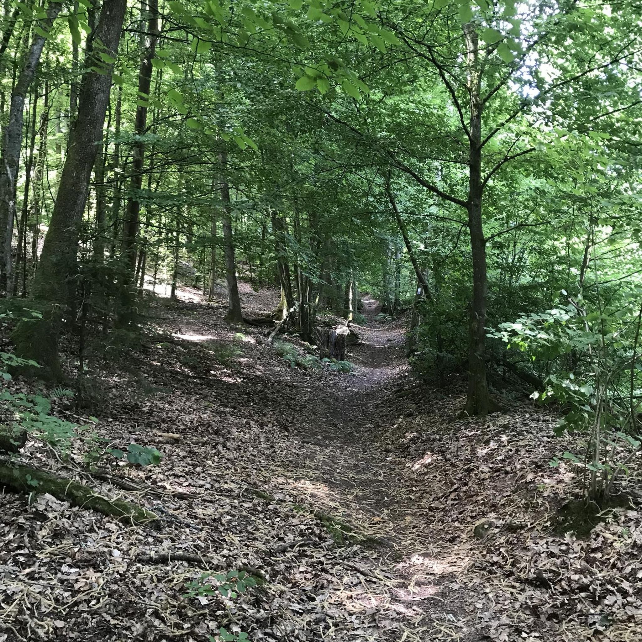
Hikes from bus stations in Area Contigua Riserva Naturale Spina Verde
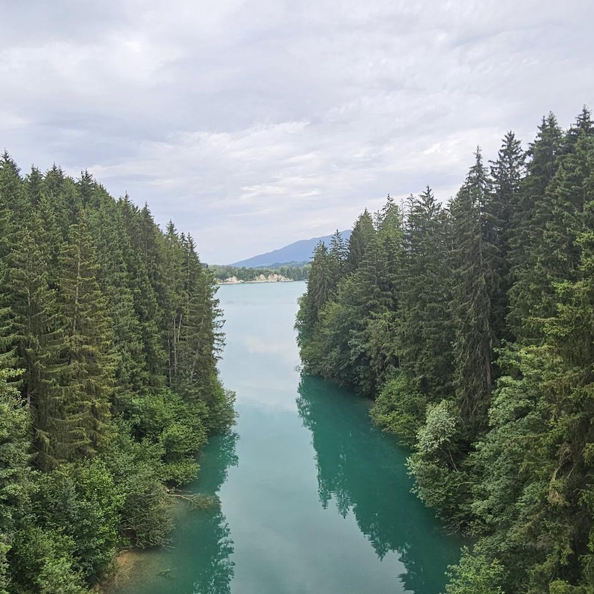
Hikes from bus stations around Lake Viverone

Hikes from bus stations in Riserva Naturale Orientata Delle Baragge


Tips from the Community

arrival station and panoramic view of the Sanctuary
0
3


The Santuario di Oropa is one of the most important Marian places of worship in Piedmont, Italy, located at about 1,159 m above sea level on the mountainside of the Valle d’Oropa, just above Biella. It is famous for its religious history, imposing architecture, and the surrounding natural landscape.
10
0

Lake above the village of Viverone
1
0

Hill separating the Cervo Valley from the Lys Valley. At the end of June 2025, high presence of mosquitoes.
1
0
Small lake under Mount Camino. Very rich in frogs and tadpoles. Some information: The Camino lake is located south of Mount Camino, between Colle della Barma and La Ceva. The environment in which it is located is of glacial origin, characterized by small overexcavation basins between the humps of the smooth rocks. The glacial imprint can be traced back to the various Pleistocene glacial impulses and in particular to the last impulse and subsequent regression. The landscape modeled by glacial activity was then taken up and modified in detail by the erosion of the runoff waters, by the cryoclastic action that splits and crumbles the rocks and by the nivation processes. The lake is in an advanced evolutionary phase with shallow waters and boulders on the bottom, it is partly bordered by vegetation, it is enriched with sediments and is destined to become a peat bog and then to be completely buried.
1
0
Refuge now closed and neglected. Probably following the closure of the Oropa cableway facilities and the consequent drop in visitors.
1
0
Peak once reachable by the Oropa cable cars, which have now been closed since December 2021
1
0
Frequently Asked Questions
How many hiking trails accessible by bus are available in Biella?
There are over 80 hiking trails in Biella that are easily accessible from bus stations. These routes cater to various skill levels, with 26 easy, 48 moderate, and 8 difficult options available for exploration.
Are there any circular hiking routes starting from Biella bus stations?
Yes, Biella offers several circular hiking routes accessible by bus. A great option is the Walk near the Santuario di Oropa - Ring tour, which is a moderate 5.3 km loop. Another excellent choice is the From Zimone to Lake Bertignano along the HIGH ALTITUDE TRAIL of the Ivrea Morainic Amphitheater – loop tour, a moderate 11.6 km route that takes you past the scenic Lake Bertignano.
What are some family-friendly hiking options near Biella bus stops?
For families, areas like Bessa Park and Burcina Park offer numerous easy trails. The "Forest of Smiles" within Oasi Zegna is also designed to be an experiential journey through nature, appealing to children. An easy route to consider is the Alpini Trail, which is just under 5 km long.
What interesting landmarks or natural attractions can I see along these bus-accessible trails?
Many trails lead to significant landmarks and natural wonders. You can visit the UNESCO World Heritage site of the Oropa Sanctuary, dedicated to the Black Madonna. The Bessa Gold Mining Archaeological Site offers a unique 'lunar' landscape with ancient Roman history. You might also encounter picturesque features like the Torrente Cervo Waterfall or the serene Lake Bertignano.
Are there any challenging hikes accessible by public transport in Biella?
Yes, for experienced hikers, Biella offers challenging routes. The Fontainemore-Oropa Procession Route to Monte Camino is a difficult 14.9 km trail with significant elevation gain, leading towards Monte Camino. The region also features parts of the Alta Via of the Biella Alps, which climbs to altitudes of 2,600m.
What do other hikers say about the trails in Biella?
The hiking trails in Biella are highly regarded by the komoot community, with an average rating of 4.4 out of 5 stars from over 4,000 reviews. Hikers frequently praise the diverse landscapes, from alpine peaks to serene nature reserves, and the well-maintained network of paths.
Can I find trails that offer panoramic views from Biella bus stations?
Absolutely. The Biella Alps region is known for its stunning vistas. Hikes towards peaks like Monte Mars or Monte Mucrone offer panoramic views of the Po Valley and the wider Alps. The Mombarone Ridge, accessible from areas like San Carlo di Graglia, is another popular spot for breathtaking scenery.
Are there any trails that pass by lakes or water features?
Yes, several trails in the Biella region feature beautiful lakes and water features. The From Zimone to Lake Bertignano along the HIGH ALTITUDE TRAIL of the Ivrea Morainic Amphitheater – loop tour specifically leads to Lake Bertignano. The alpine Lake della Vecchia is also a picturesque destination accessible via hiking trails in the higher elevations.
What is the best time of year to hike these bus-accessible trails in Biella?
The Biella region offers hiking opportunities year-round, but the best time largely depends on the trail's elevation. Spring and autumn are ideal for lower and moderate trails, with pleasant temperatures and beautiful foliage, especially in Burcina "Felice Piacenza" Park. Summer is perfect for higher alpine routes, while some lower trails can be enjoyed in winter, though conditions should always be checked for snow and ice.
Are there any long-distance or multi-day hiking options that can be started from bus stations?
While many routes are day hikes, the Biella region is part of extensive networks like the Grand Tour of Biella Province (GtB) and the Grand Tour of the Alps (GTA). These long-distance itineraries are divided into stages, many of which can be accessed via public transport, allowing for multi-day adventures. Oasi Zegna also features "The Ermenegildo Path," a three-day circular trek.
What kind of unique landscapes can I expect to see on hikes from Biella bus stations?
Biella's diverse geography means you can experience a range of unique landscapes. Explore the almost lunar terrain of the Baragge Tableland or the distinctive mounds of stones at the Bessa Gold Mining Archaeological Site. You'll also find lush forests in Oasi Zegna and Burcina Park, and the dramatic alpine scenery of the Biella Alps.
Most popular routes in Biella
Most popular attractions in Biella

Get inspired with the komoot mobile app


Didn’t find what you were looking for?
Check out more Hikes throughout Biella below and find the perfect route in your destination.
Explore more
Browse the best Hikes in other regions.
